The best walks and hikes around Les Essards
4.7
(67)
330
hikers
61
hikes
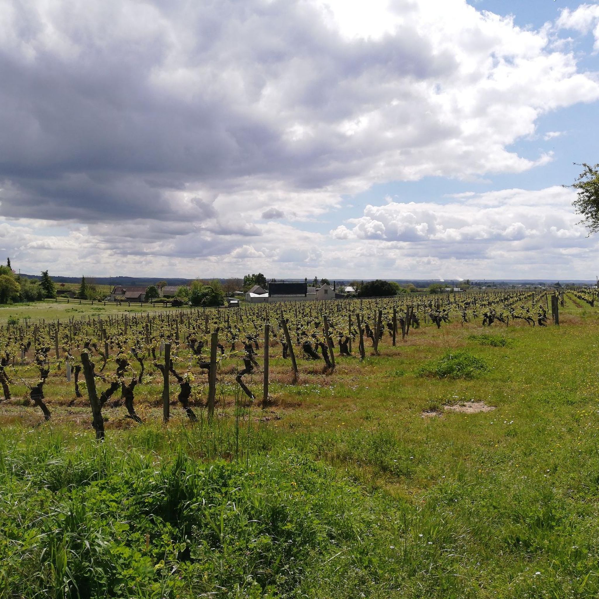
Hiking around Les Essards offers access to a network of trails within the Charente countryside, characterized by rural landscapes, woodlands, and gently hilly terrain. The area features local natural sites like the Étang du Pissot and Le Bois de la Clie. Its location in Charente-Maritime also provides proximity to diverse regional natural sites, including coastal areas and extensive marshes. This region is known for its varied landscapes, from serene ponds to gently rolling hills.
Best hiking trails around Les Essards
- The most popular hiking route is Étang du Pissot loop from Les Essards, a 4.8 miles (7.7 km) trail that takes 2 hours to complete. This route circles a tranquil pond, offering a peaceful natural setting.
- Another top favourite among local hikers is The Old Cher Trail, a moderate 7.8 miles (12.5 km) path. This trail features minimal elevation gain, traversing rural landscapes.
- Local hikers also love the Bréhémont Port – Saint Mary Magdalene Church loop from Bréhémont, a 5.8 miles (9.3 km) trail leading through varied countryside, often completed in about 2 hours 20 minutes.
- Hiking around Les Essards is defined by rural landscapes, woodlands, and gently hilly terrain. The network offers options for different ability levels, from easy strolls to moderate treks.
- The routes in Les Essards are highly rated by the komoot community with an average score of 4.8 stars from nearly 60 reviews. More than 200 hikers have used komoot to explore Les Essards's varied terrain.
Last updated: July 1, 2026
4.9
(11)
50
hikers
12.5km
03:09
20m
10m
Moderate hike. Good fitness required. Easily-accessible paths. Suitable for all skill levels.
4.5
(4)
13
hikers
7.70km
02:00
50m
50m
Moderate hike. Good fitness required. Easily-accessible paths. Suitable for all skill levels.

Sign up for free
5.0
(1)
6
hikers
Moderate hike. Good fitness required. Easily-accessible paths. Suitable for all skill levels.
5.0
(1)
15
hikers
Moderate hike. Good fitness required. Easily-accessible paths. Suitable for all skill levels.
5
hikers
7.42km
01:53
20m
20m
Easy hike. Great for any fitness level. Easily-accessible paths. Suitable for all skill levels.
Get access to more routes and recommendations from other explorers.
Sign up for free
Already have an account?
Our route recommendations are based on thousands of hikes, rides, and runs completed by other people on komoot.
Start today with a free account
Your next adventure awaits.
Login or Signup

Tips from the Community

Bréhémont, a former annex of the parish church of Rivarennes, only became a parish in 1789. The church was built in 1843 in the neo-Gothic style. Three years later, five stained glass windows for the choir and the side chapels (bays 0, 1, 2, 3, 4) were ordered by the Parisian Émile Laurent, who had ties with Auguste Galimard and who had designed the plans. Source: https://patrimoine.centre-valdeloire.fr/gertrude-diffusion/dossier/IM37003094
6
0
A special location that you should not miss. Take a seat on the terrace to replenish your burnt sugars. Small repairs can be done here. Be sure to take a look inside the studio.
5
0


After the Blessed Virgin Mary, "Sainte MARIA MADELEINE" is the woman most frequently mentioned in the writings of the New Testament. Originally called "Mary of Magdala" after her place of origin on the Sea of Galilee, the name "Mary Magdalene" that is common today has evolved over time. According to the biblical accounts, she is one of the women and men who followed Jesus of Nazareth. According to the testimony of the evangelists, Mary Magdalene is also one of the three women who, after the crucifixion and burial of Jesus Christ, wanted to anoint the body on Easter morning after the Sabbath rest, and the very first person who ever met the Risen Christ.
3
0

Built in 1843 by Alexandre Vessier, the church is atypical in its orientation: the choir and the stained glass windows face west, on the other side of the Loire. Perhaps a nod to the flourishing fishing trade in the village at the time, the wooden arches of the church resemble the ribs of a ship.
3
0
The port of Bréhémont is one of the oldest paved ports in Touraine. It had its heyday in the 19th century, due to the boom in the trade of hemp cultivation and fishing.
4
0
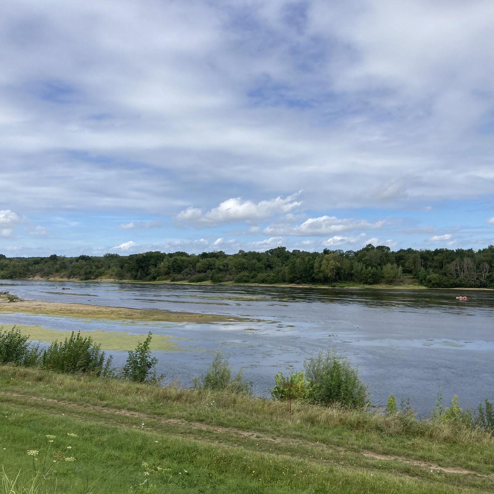
Walk along this 500m stretch of Vieux Cher which is a 24.4km stretch of the original Cher river which was diverted at the end of the 18th century before joining the Loire a little further east. west.
3
0
Frequently Asked Questions
How many hiking trails are available around Les Essards?
There are over 50 hiking routes around Les Essards, offering a variety of experiences. These include 22 easy trails, 31 moderate options, and a few more challenging routes for experienced hikers.
What kind of landscapes can I expect to see while hiking near Les Essards?
Hiking around Les Essards takes you through a charming rural landscape, characterized by woodlands, forests, and gently rolling hills. You'll find serene natural sites like the Étang du Pissot and Le Bois de la Clie. The wider Charente-Maritime region also offers diverse environments, from coastal areas and wild beaches to extensive unspoilt marshes.
Are there any circular hiking routes in Les Essards?
Yes, many routes around Les Essards are circular. For example, the Étang du Pissot loop from Les Essards is a popular circular trail that takes you around a tranquil pond. Another option is the Langeais Castle – Langeais Drawbridge loop from Langeais, which offers an easy, scenic walk.
What is the best time of year to go hiking in Les Essards?
The oceanic climate in Charente-Maritime ensures mild temperatures, making hiking enjoyable across all seasons. Spring and autumn offer pleasant weather with vibrant natural colors, while summer is ideal for longer days outdoors. Even winter can be suitable for hiking due to the mild conditions.
Are there any family-friendly hiking trails in the area?
Yes, Les Essards offers several family-friendly trails. Many of the 22 easy routes are suitable for families. The Étang du Pissot loop from Les Essards, for instance, has easily accessible paths suitable for all skill levels, making it a great choice for a family outing.
Can I bring my dog on the hiking trails around Les Essards?
Most hiking trails in the Charente-Maritime region, including those around Les Essards, are generally dog-friendly. However, it's always recommended to keep your dog on a leash, especially in nature reserves or areas with livestock, and to check for any specific local regulations or signage on individual routes.
What interesting landmarks or attractions can I see near the hiking trails?
Beyond the natural beauty, you can explore several historical and cultural landmarks. Nearby attractions include the impressive Ussé Castle, often called 'Sleeping Beauty's Castle', and the historic Langeais Old Town. The Church of Saint Mary Magdalene is also a notable point of interest.
What do other hikers say about the trails in Les Essards?
The hiking routes in Les Essards are highly regarded by the komoot community, with an average rating of 4.8 out of 5 stars from nearly 60 reviews. Hikers often praise the peaceful rural landscapes, the well-maintained paths, and the variety of options for different fitness levels.
Are there any easy routes for beginners or those looking for a gentle walk?
Absolutely. There are 22 easy routes around Les Essards perfect for beginners or those seeking a relaxed stroll. The Langeais Castle – Langeais Drawbridge loop from Langeais is an easy 5.7 km trail with moderate elevation, offering a pleasant experience.
Is public transport available to reach hiking trailheads near Les Essards?
While Les Essards itself is a rural area, public transport options in the wider Charente-Maritime region connect to various towns. For specific trailheads, it's advisable to check local bus routes or consider driving, as many routes start directly from villages or have dedicated parking areas.
Where can I find parking for hiking trails in Les Essards?
Many hiking trails in and around Les Essards, especially those starting from villages or popular natural sites like the Étang du Pissot, typically have designated parking areas nearby. It's common for trailheads to be accessible by car, with parking often available in village centers or at specific points of interest.
Are there any trails that feature significant elevation changes?
The terrain around Les Essards is generally gently hilly. While most routes have moderate elevation gains, such as the Langeais Drawbridge – Château de Langeais loop from Langeais with 126 meters of ascent, you won't find very steep climbs. The region is more known for its rolling landscapes than mountainous terrain.
Most popular routes around Les Essards
Most popular attractions around Les Essards

Get inspired with the komoot mobile app


Explore more
Browse the best Hikes in other regions.
