The best running trails in the Sierra de Juarez
5.0
(9)
296
runners
27
runs
Jogging in the Sierra de Juarez offers diverse terrain, from high mountains and deep ravines to extensive pine-oak and montane cloud forests. The region features significant elevation changes, with peaks reaching over 6,500 feet (1,980 meters) in Baja California and up to 10,660 feet (3,250 meters) in Oaxaca. These varied ecosystems provide a range of running environments, including unique desert flora at lower elevations and lush, often misty, forest paths at higher altitudes.
Best jogging routes in the Sierra de…
Last updated: October 14, 2026
2
runners
24.9km
03:00
930m
930m
Hard run. Very good fitness required. Mostly paved surfaces. Suitable for all skill levels.
1
runners
14.8km
02:08
630m
630m
Hard run. Very good fitness required. Mostly paved surfaces. Suitable for all skill levels.

23
runners
20.8km
02:12
100m
100m
Hard run. Very good fitness required. Mostly paved surfaces. Suitable for all skill levels.
25
runners
7.13km
00:47
20m
20m
Moderate run. Good fitness required. Mostly paved surfaces. Suitable for all skill levels.
5.0
(2)
22
runners
12.5km
01:17
40m
40m
Moderate run. Good fitness required. Mostly paved surfaces. Suitable for all skill levels.
21
runners
18.3km
01:57
60m
60m
Hard run. Very good fitness required. Mostly paved surfaces. Suitable for all skill levels.
10
runners
9.94km
01:02
70m
70m
Moderate run. Good fitness required. Mostly paved surfaces. Suitable for all skill levels.
4
runners
5.94km
00:38
60m
60m
Moderate run. Good fitness required. Mostly paved surfaces. Suitable for all skill levels.
5
runners
20.4km
02:35
930m
930m
Hard run. Very good fitness required. Mostly paved surfaces. Suitable for all skill levels.
Get access to more routes and recommendations from other explorers.
Already have an account?
Our route recommendations are based on thousands of hikes, rides, and runs completed by other people on komoot.
Start today with a free account
Your next adventure awaits.




Tips from the Community

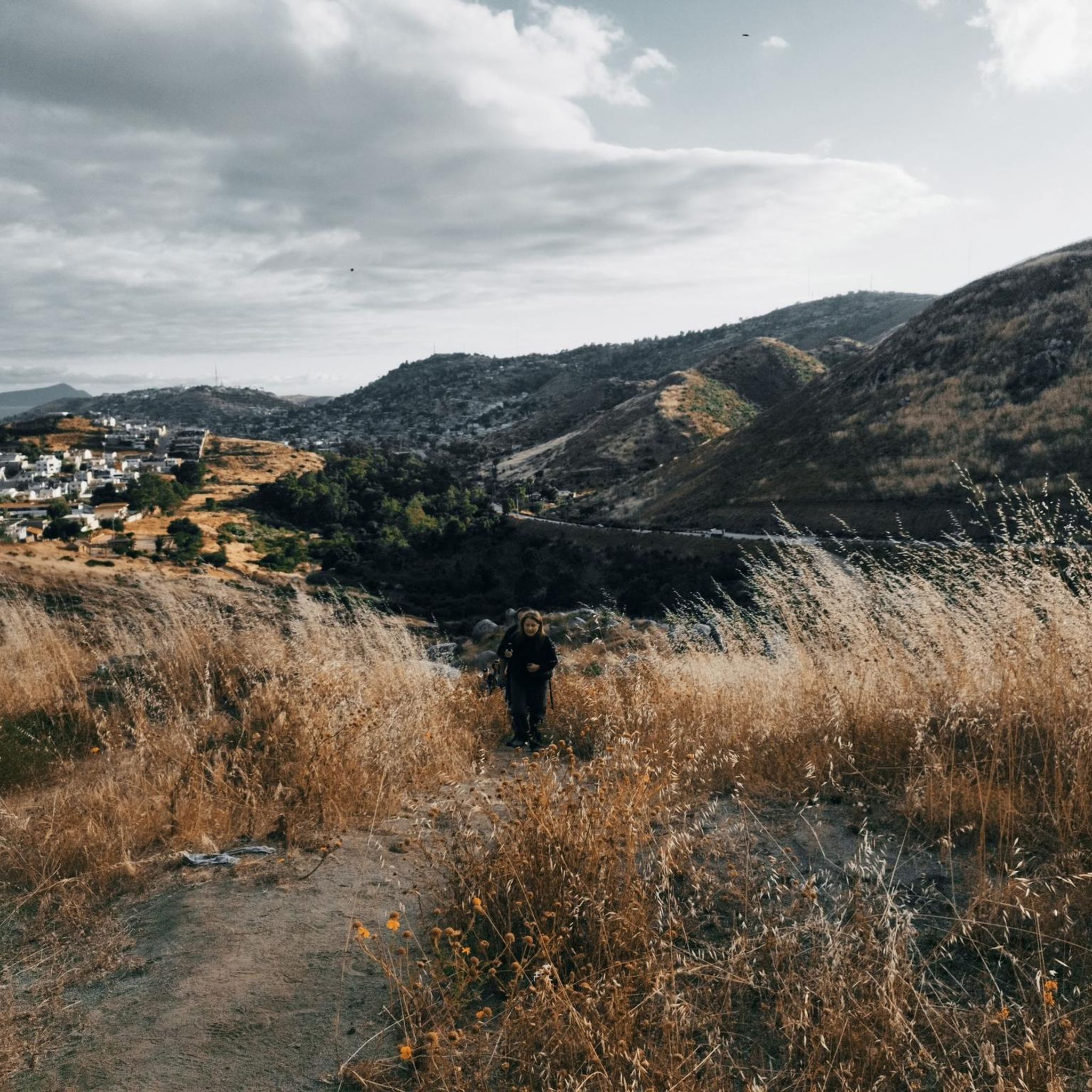
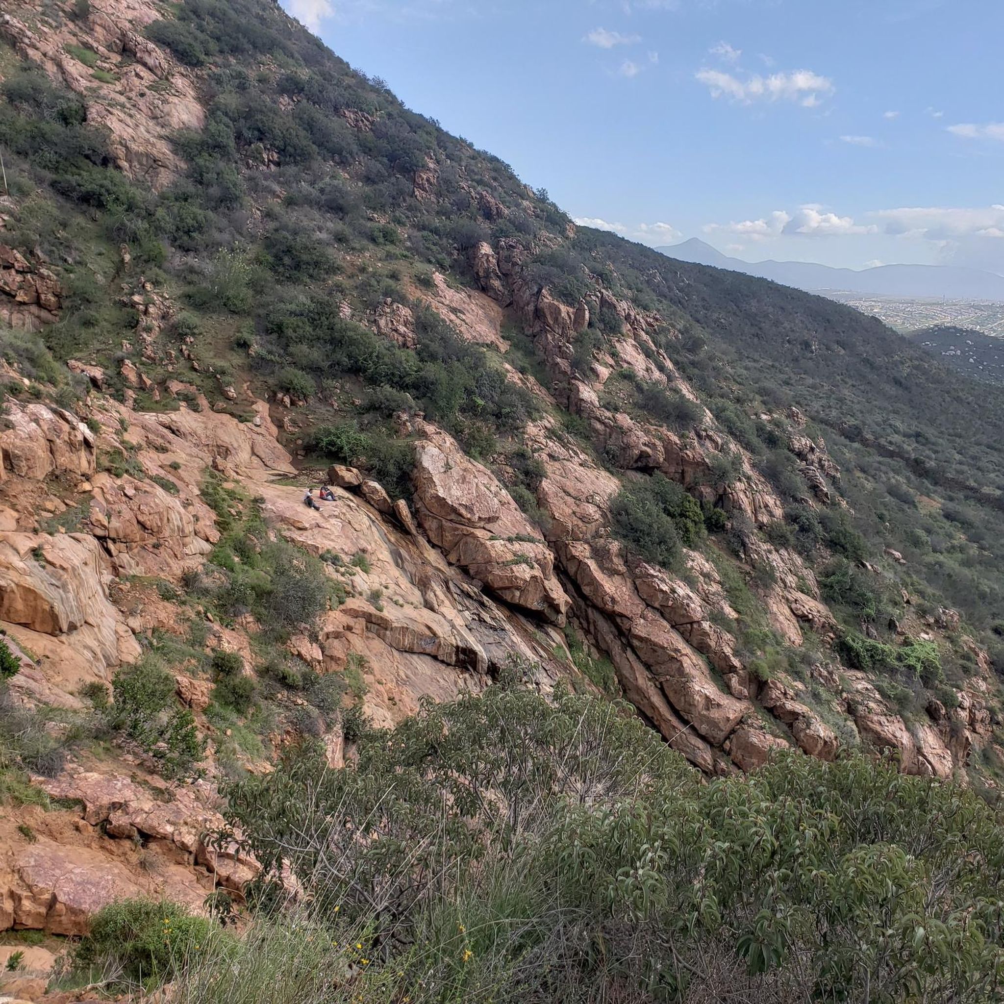
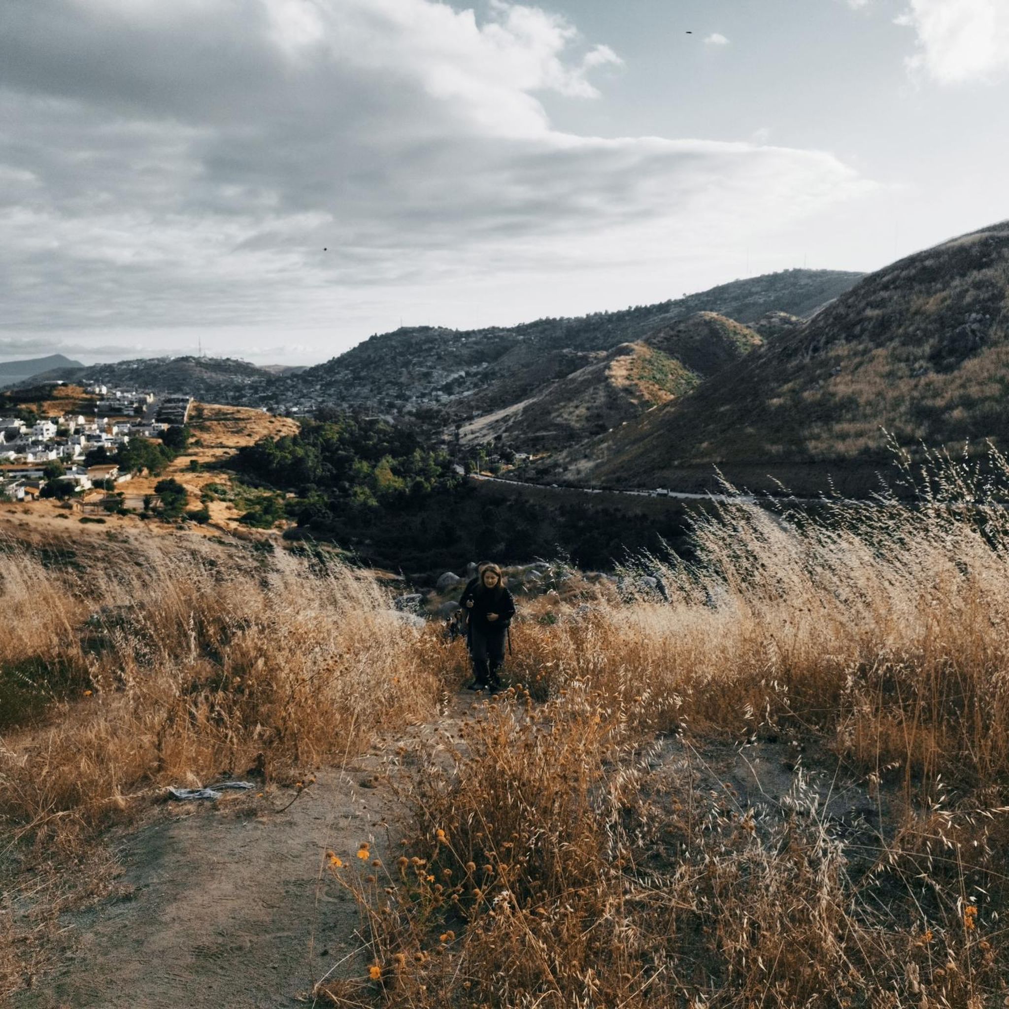
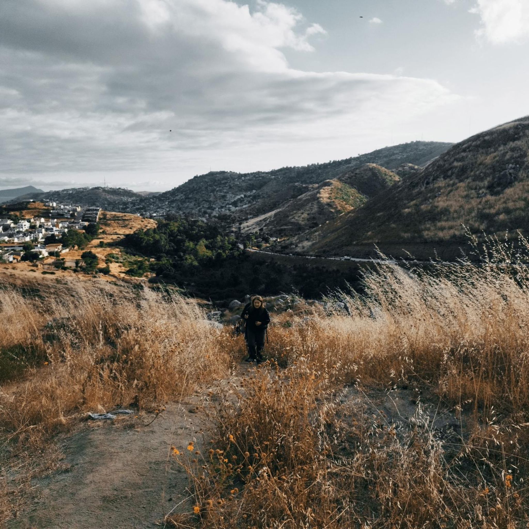
To reach this point, you'll face a constant uphill challenge, with an elevation change of about 1500 feet over approximately four miles. The views from here are stunning and unique, offering a panoramic vista into Mexico and the rolling hills of California.
1
0

3,568 foot Otay Mountain is a challenging climb with a great payoff. Reaching the top, you can view the Chula Vista area, surrounding peaks, and the border with Tijuana.
0
0

The Otay Mountain Truck Trail stretches across the eastern and southern portions of Otay Mountain. The approach from this southern side is on tight double-track trails that can still be accessed by cars with 4wd. This is a super fun road to run (especially downhill) since there are lots of small rollers where the path gets steep for a bit, and then it levels out for a little bit (instead of just one constant uphill slog).
0
0
Otay Mountain is the tallest peak in the San Ysidro Mountains standing at 3,568 feet. There are a handful of old service roads that lead to the top that are great for running. Some of the roads are still open to cards, but some are now closed to vehicles and only open to bikes and foot-traffic. The views from the top are of the border of Mexico and back towards Chula Vista. Mother Miguel Mountain is an easy peak to pick out from up here.
0
0
Frequently Asked Questions
How many running routes are available in the Sierra de Juarez?
The Sierra de Juarez offers nearly 30 diverse running routes, catering to various skill levels. These include 3 easy, 17 moderate, and 9 difficult trails, ensuring there's a path for every runner.
What kind of terrain can I expect on jogging routes in the Sierra de Juarez?
Jogging in the Sierra de Juarez features highly varied terrain, from high mountains and deep ravines to extensive pine-oak and montane cloud forests. You'll encounter significant elevation changes, with peaks reaching over 6,500 feet (1,980 meters) in Baja California and up to 10,660 feet (3,250 meters) in Oaxaca. The region's diverse ecosystems also include unique desert flora at lower elevations and lush, often misty, forest paths at higher altitudes.
Are there any easy running routes for beginners in the Sierra de Juarez?
Yes, the Sierra de Juarez offers 3 easy running routes suitable for beginners or those looking for a less strenuous jog. These trails provide a gentle introduction to the region's natural beauty without significant elevation challenges.
Are there any circular running routes in the Sierra de Juarez?
Yes, several circular running routes are available. For example, you can explore the Mirador al Puerto loop from Arroyo El Gallo or the Mirador al Puerto loop from Ensenada, both offering scenic loops.
What do other runners enjoy most about jogging in the Sierra de Juarez?
The running routes in Sierra de Juarez are highly rated by the komoot community, with an average score of 5.0 stars from over 7 reviews. Runners often praise the diverse terrain, from challenging mountain paths to serene forest trails, and the breathtaking panoramic views. Over 280 runners have used komoot to explore the region's varied landscapes.
What natural features or landmarks can I see along the running routes?
The Sierra de Juarez offers stunning natural features and landmarks. You can find the Pacific Crest Trail Southern Terminus, a significant point for long-distance hikers, or enjoy panoramic views from La Banquita. The region is also known for its diverse ecosystems, including montane cloud forests, pine-oak forests, and deep ravines.
Are there any trails that offer significant elevation gain for a challenging run?
Absolutely. For a challenging run with significant elevation gain, consider the Otay Mountain Truck Trail, a 15.5-mile (24.9 km) route with substantial ascent. Another difficult option is the Tecate Peak Trail, which offers challenging ascents and rewarding views from Tecate Peak.
What is the best time of year to go jogging in the Sierra de Juarez?
The Sierra de Juarez, particularly the Oaxaca region, is one of the wettest areas in Oaxaca State, contributing to its lushness and often misty forest environments. This can provide a cool and refreshing experience for runners. The Baja California range also offers unique desert flora at lower elevations and transitions to pine-oak forests at higher altitudes, suggesting varied conditions throughout the year. For specific weather patterns, it's advisable to check local forecasts closer to your visit.
Are there any running routes that are less crowded?
While specific crowd levels vary, the Sierra de Juarez offers an extensive network of trails beyond the most popular ones. Exploring routes like the Playa Hermosa loop from Estacionamiento CICESE nuevo 2015 or the Running loop from Del. La Mesa might offer a more secluded experience, allowing you to enjoy the pristine natural environment.
Can I find trails suitable for a moderate-level run?
Yes, the majority of running routes in the Sierra de Juarez are classified as moderate, with 17 such trails available. These routes, like the Pacific Crest Trail: California Section A, offer a good balance of distance and elevation, perfect for runners looking for a sustained effort without extreme difficulty.
Are there any ecotourism centers or facilities near the running trails?
In the Oaxaca Sierra Juárez, communities such as Ixtlán de Juárez and Capulálpam de Méndez have developed ecotourism centers. These centers often provide cabins, camping areas, local guides, and services catering to outdoor enthusiasts, which can serve as excellent bases for exploring nearby running routes and offer a unique cultural immersion.
Most popular routes in the Sierra de Juarez
Most popular attractions in the Sierra de Juarez

Get inspired with the komoot mobile app


