
The best running trails around Neurey-En-Vaux
4.4
(6)
182
runners
30
runs
Jogging around Neurey-En-Vaux offers a chance to explore a rural commune in the Haute-Saône department, characterized by its hilly terrain with altitudes ranging from 256 to 421 meters. The region features "buttes témoins de la Chassagne" (witness hills) that provide panoramic views, extending to the Vosges mountains. The landscape is composed of forests, ponds, and traditional farms, offering varied natural backdrops for running. A network of local trails, including a pedestrian hiking trail named "Val de Saône," provides accessible paths…
Last updated: July 5, 2026
5
runners
7.23km
00:50
30m
30m
Moderate run. Good fitness required. Mostly paved surfaces. Suitable for all skill levels.
3
runners
9.45km
01:00
110m
110m
Moderate run. Good fitness required. Mostly paved surfaces. Suitable for all skill levels.

Sign up for free
3
runners
11.0km
01:09
110m
110m
Moderate run. Good fitness required. Mostly paved surfaces. Suitable for all skill levels.
4
runners
18.8km
01:59
220m
220m
Hard run. Very good fitness required. Mostly paved surfaces. Suitable for all skill levels.
4
runners
5.57km
00:36
60m
60m
Moderate run. Good fitness required. Mostly paved surfaces. Suitable for all skill levels.
Get access to more routes and recommendations from other explorers.
Sign up for free
Already have an account?
Our route recommendations are based on thousands of hikes, rides, and runs completed by other people on komoot.
Start today with a free account
Your next adventure awaits.
Login or Signup

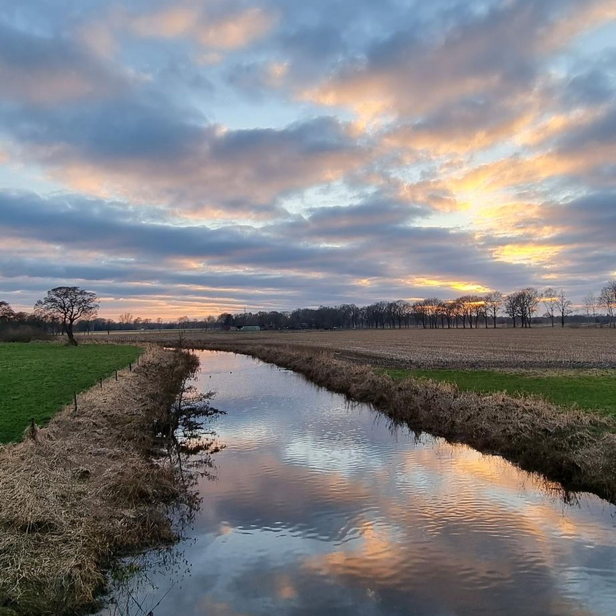


Tips from the Community

Ascent from Meurcourt towards Mailleroncourt, on the slopes of Mont Vaulot. You climb 1.8 kilometers with an average slope of 5%.
0
0
Frequently Asked Questions
How many running routes are available around Neurey-en-Vaux?
There are nearly 30 dedicated running routes around Neurey-en-Vaux, catering to various fitness levels. These include 2 easy routes, 25 moderate options, and 2 more challenging trails for experienced runners.
What kind of terrain can I expect on the jogging trails in Neurey-en-Vaux?
The terrain around Neurey-en-Vaux is characterized by its hilly nature, with altitudes ranging from 256 to 421 meters. You'll find diverse landscapes including forests, ponds, and traditional farms, offering varied natural backdrops for your runs. Many routes incorporate inclines, providing a good workout amidst captivating scenery.
Are there any routes with panoramic views in Neurey-en-Vaux?
Yes, the region is uniquely positioned on a hillside, sheltered by the "buttes témoins de la Chassagne" (witness hills). These hills offer remarkable panoramic views extending from east to west, encompassing the majestic Vosges mountains and even the distant towers of Langres Cathedral. Routes like the Running loop from Provenchère offer notable elevation gain, likely leading to such scenic overlooks.
What do other runners say about the trails in Neurey-en-Vaux?
The running routes in Neurey-en-Vaux are highly rated by the komoot community, with an average score of 4.3 stars from 4 reviews. Over 200 runners have used komoot to explore the varied terrain, often praising the diverse landscapes and the opportunity for a good workout.
Are there any historical or cultural sights to see while running in Neurey-en-Vaux?
While jogging, you can encounter several points of interest that add cultural and historical depth. These include the Saint-Valbert Church, a fountain-wash house, and several calvaries, such as a 17th-century "Croix des pestes." The village also houses a micro-museum dedicated to Claude-François Denecourt, a pioneer of hiking trails.
Are there any longer, more challenging running routes for experienced runners?
For those seeking a more extended and challenging workout, the Mont Vaulot Hill loop from Mailleroncourt-Charette is a difficult 18.8 km (11.7 miles) route with significant elevation gain, perfect for experienced runners looking to push their limits.
Is there a well-known hiking trail that also works for running in the area?
Yes, a pedestrian hiking trail named "Val de Saône" traverses the territory of Neurey-en-Vaux, connecting Scey-sur-Saône to Villers-les-Luxeuil. This marked trail, along with other local routes, provides readily available paths suitable for runners.
What is a good moderate-distance running loop in the area?
A popular moderate-distance option is the Running loop from Vellefrie. This trail is 9.4 km (5.9 miles) long and typically takes about 1 hour to complete, leading you through the local countryside.
Are there any easy running routes for beginners or a light jog?
Yes, there are 2 easy routes available. For a moderate but less strenuous option, the Running loop from Breurey-lès-Faverney is a 7.2 km (4.5 miles) trail with gentle elevation changes, suitable for a steady run.
What is the best time of year to go running in Neurey-en-Vaux?
The varied landscapes of Neurey-en-Vaux, with its forests and hills, make it suitable for running across multiple seasons. Spring and autumn offer pleasant temperatures and beautiful foliage, while summer provides lush greenery. Winter runs can be invigorating, but always check local conditions for snow or ice, especially on higher ground.
Where can I find more information about the Haute-Saône region?
For additional inspiration and information about outdoor activities in the broader Haute-Saône region, you can visit the official tourism website: hautesaonetourisme.com.

Get inspired with the komoot mobile app


Explore more
Browse the best Running Trails & Routes in other regions.
