The best running trails in the Grampian Mountains
4.5
(345)
26,615
runners
1,449
runs
Jogging in the Grampian Mountains offers a diverse range of routes across Britain's largest mountain range. The region is characterized by towering peaks, including Ben Nevis, and extensive glens and lochs, providing varied terrain for runners. It encompasses significant portions of the Cairngorms National Park and parts of Loch Lomond and The Trossachs National Park. The landscape features a mix of metamorphic and igneous rocks, sculpted by glaciation, creating a network of trails suitable for different fitness levels.
Best jogging routes in the Grampian Mountains
- The most popular jogging route is Ben Nevis Mountain Path, a 9.3 miles (15.0 km) trail that takes 3 hours 15 minutes to complete. This route leads to the UK's highest peak, offering panoramic views.
- Another top favourite among local runners is Ben Lomond Trail, a difficult 7.5 miles (12.1 km) path. This trail provides extensive views over Loch Lomond.
- Local runners also love the Beinn a' Ghlò Circuit, an 18.4 miles (29.7 km) trail leading through Cairngorms National Park, often completed in about 4 hours 15 minutes.
- Jogging in the Grampian Mountains is defined by towering peaks, expansive glens, and picturesque lochs. The network of routes offers options for various ability levels, from accessible paths to challenging long-distance trails.
- The routes in Grampian Mountains are highly rated by the komoot community with an average score of 4.6 stars from over 300 reviews. More than 28000 runners have used komoot to explore Grampian Mountains's varied terrain.
Last updated: July 7, 2026
4.6
(5)
887
runners
15.0km
03:15
1,310m
1,310m
Embark on a difficult jogging adventure up the Ben Nevis Mountain Path, a challenging route spanning 9.3 miles (15.0 km) with an impressive elevation gain of 4293 feet (1308 metres). You can expect to complete this demanding ascent in approximately 3 hours and 14 minutes. As you climb, the scenery unfolds, revealing grand vistas up Glen Nevis towards the striking peaks of the Mamores and Stob Ban. The trail itself is characterized by wide zigzags, a testament to its history as a pony track. On clear days, reaching the summit rewards you with incredible 360-degree panoramic views that can stretch as far as Northern Ireland.
Planning your visit requires careful consideration due to the mountain's rapidly changing and often severe weather conditions. The summit is significantly colder than sea level, and snow can persist well into late spring or early summer. Winter ascents are strictly recommended only for very experienced mountaineers equipped with appropriate gear. Be aware that the route can become very busy, especially during the summer months and holiday periods, so plan your start time accordingly.
This iconic path leads you to the highest peak in the United Kingdom, making it a significant achievement for any jogger. The trail's wide zigzags are a unique feature, reflecting its origins as a practical route for ponies carrying supplies. Beyond the physical challenge, the journey offers a deep connection to the rugged landscape of the Ben Nevis and Glen Coe National Scenic Area.
5.0
(4)
336
runners
12.1km
02:03
910m
910m
Embark on the Ben Lomond Trail, a challenging jogging route that takes you through diverse landscapes. You'll begin your ascent winding through a plantation forest, gradually transitioning into open, tussock-covered alpine terrain. The path itself is rugged, with uneven sections of rocks and tree roots, particularly on the descents. This difficult 7.5-mile (12.1 km) journey involves a significant elevation gain of 2991 feet (911 metres), typically taking around 2 hours and 3 minutes to complete. Your efforts are richly rewarded at the Ben Lomond Summit, offering expansive 360-degree panoramic views across Loch Lomond and the surrounding scenery.
Before you set out, remember that this is a difficult route, so a good level of fitness is highly recommended. The trailhead for this popular ascent is conveniently located at the Rowardennan car park, where you will find parking available. Be prepared for potentially changeable weather conditions, as exposure increases considerably once you reach higher altitudes. Packing appropriate gear for varying weather is always a wise decision for this climb.
This trail is a classic ascent within Loch Lomond & The Trossachs National Park, known for its iconic peak. It offers a true mountain experience, showcasing the rugged beauty of the Scottish Highlands. The route provides a fantastic opportunity to immerse yourself in the natural environment of the park, from its lower forests to its exposed alpine sections. It's a journey that highlights the dramatic geological features and expansive vistas characteristic of this renowned region.

Sign up for free
5.0
(1)
308
runners
28.7km
06:01
2,220m
2,220m
The Ring of Steall Skyrace route near Kinlochleven is a difficult jogging challenge, covering 17.8 miles (28.7 km) with an impressive 7284 feet (2220 metres) of elevation gain. You will experience exceptionally rough and varied terrain, including rock, scree, and boggy sections, alongside thrilling scrambling over ridges like the Devil's Ridge. The route offers dramatic Scottish Highland scenery, with panoramic views of Ben Nevis and the Mamores, and passes the famous Steall Waterfall. Expect a demanding journey that typically takes around 6 hours and 1 minutes to complete.
This route demands a high level of fitness, sure-footedness, and mountain experience. The terrain is technical, with about 95% unpaved surfaces, and includes significant scrambling sections that require comfort with exposure. Be aware that weather conditions in the Scottish Highlands can change rapidly and become severe, so you must be prepared for all eventualities. Once you commit to certain sections, especially the ridges, retreating can be difficult, so plan your journey carefully.
The Ring of Steall Skyrace route is notable for embodying the tradition of skyrunning, an uncompromising style of mountain running over technical terrain. It incorporates two lofty ridges within the Mamores, including the famously exposed Devil's Ridge, and summits four Munros. This classic skyrunning event is renowned for its inherent difficulty and the significant physical and mental demands it places on participants, making it a true test of endurance and skill.
5.0
(1)
154
runners
29.7km
04:15
1,340m
1,340m
Embark on the Beinn a' Ghlò Circuit for a truly demanding jogging experience through the vast wilderness of the Mounth. This difficult route spans 18.5 miles (29.7 km) and challenges you with a significant 4382 feet (1336 metres) of elevation gain. As you ascend towards the Càrn nan Gabhar summit, you will encounter stony and boulder-strewn upper slopes, offering expansive views across the landscape. Plan for a duration of around 4 hours and 14 minutes to complete this rigorous circuit.
Before you set out, be aware that conditions on this high mountain route can change rapidly. If you plan to jog in winter, expect snow, ice, and cornices, which demand specialized gear and prior experience in such environments. Always be prepared for the possibility of poor visibility and challenging navigation, as the complex mountain terrain can become disorienting in adverse weather.
This circuit is a highlight within Cairngorms National Park, renowned for its remote and empty feel. Keep an eye out for local wildlife, such as grouse and deer, which are often spotted in these parts. The views from the higher elevations, particularly looking back towards Beinn a'Bhuird and Ben Avon, provide a memorable reward for your effort on this notable Scottish trail.
134
runners
28.4km
03:57
1,030m
1,030m
Embark on a challenging jogging adventure with The White Mounth & Lochnagar loop from Spittal of Glen Muick, a difficult route spanning 17.7 miles (28.4 km) with a significant 3369 feet (1027 metres) of elevation gain. This demanding trail, typically completed in around 3 hours and 57 minutes, takes you through varied and rugged terrain, including rocky paths and unpaved sections. You will encounter "the Ladder," a steep boulder field leading towards Lochnagar's summit, and experience the expansive views from the Mounth Plateau. The trail offers a true test of endurance and sure-footedness, rewarding you with the wild beauty of the Cairngorms National Park.
Planning your visit requires careful consideration due to the trail's demanding nature. This hard run requires very good fitness, sturdy shoes, and alpine experience, especially given the potential for high winds year-round and snow and ice in winter. Be prepared for a burn crossing where your feet might get wet. The route is situated within the Balmoral Estate, so be mindful of local regulations and conditions. Always check the weather forecast before heading out, as conditions can change rapidly in this exposed mountain environment.
This loop is notable for its opportunity to bag five Munros, including Lochnagar (Cac Carn Beag), considered the highest and finest mountain of the Mounth plateau. As you jog, you will pass Glas Allt Shiel, a lodge built by Queen Victoria, adding a historical touch to your journey. Keep an eye out for remnants of an RAF Canberra plane wreckage from a 1956 crash on Carn an t-Sagairt Mòr. The area is also home to diverse wildlife, such as grouse and deer, making for an immersive nature experience within the picturesque Cairngorms National Park.
5.0
(1)
145
runners
10.5km
01:30
690m
690m
Schiehallion from Braes of Foss car park offers a challenging jogging experience, covering 6.5 miles (10.5 km) with a significant 2275 feet (693 metres) of elevation gain, typically taking around 1 hour and 30 minutes. You start on a well-maintained path made of local stone, offering steady views over Loch Tummel and towards the Cairngorms. As you ascend, the path becomes rockier, and the final 2 kilometers to the summit involve navigating an awkward quartzite boulder field, which is generally unsuitable for jogging due to the risk of injury, but rewards you with expansive views of Loch Rannoch and Rannoch Moor. The mountain's slopes are rich in heather, mosses, and blaeberry, providing varied colors throughout the seasons. This route is rated as difficult overall.
To tackle this route, you'll begin from the Braes of Foss car park, where the initial section provides a good introduction for those new to hillwalking. However, be prepared for the significant increase in difficulty once you reach the boulder field, which demands careful foot placement and concentration, especially on the descent when your legs are tired. In winter, the trail can become partially frozen and very slippery, adding to the challenge. If you're looking for a less strenuous option, an Easy Access Walk is available near the car park.
Schiehallion is one of Scotland's most recognizable and popular Munros, often chosen as a first Munro due to its accessibility. Its distinctive conical shape makes it easily identifiable from a distance. Historically, the mountain played a crucial role in an 18th-century experiment by Nevil Maskelyne to estimate the mass of the Earth, which also led to the first use of contour lines in cartography. The John Muir Trust manages the eastern side of the mountain and has undertaken extensive path repairs to combat erosion, ensuring the quality of the lower path you'll experience.
5.0
(2)
123
runners
13.5km
01:25
80m
80m
Embark on a moderate jogging route around the Falls of Dochart and Loch Tay, starting from Killin. This scenic loop covers 8.4 miles (13.5 km) with an elevation gain of 249 feet (76 metres), typically taking about 1 hour and 24 minutes to complete. You'll experience the dramatic cascades of the River Dochart and enjoy expansive views over Loch Tay as you move through varied terrain.
When planning your visit, be aware that sections of the trail can become muddy or boggy, especially after rain, so choose your footwear accordingly. Parking is generally available in Killin, making it a convenient starting point for your adventure. Always check local conditions before heading out to ensure a smooth and enjoyable experience.
This route offers a unique blend of natural beauty and historical interest, featuring the impressive Dochart Viaduct and the charming backdrop of Killin village. The mixed terrain includes old railway lines, paved sections, and natural paths, providing a diverse jogging experience. It's a great way to explore the picturesque landscapes of Loch Lomond and The Trossachs National Park.
4.0
(1)
97
runners
14.0km
02:12
490m
490m
If you're looking for a challenging jogging route with dramatic mountain scenery, the Lairig Gartain & Lairig Eilde loop is a difficult 8.7-mile (14.0 km) journey. This route features 1621 feet (494 metres) of elevation gain and typically takes around 2 hours and 11 minutes to complete. You'll navigate varied terrain, including mountain hiking paths that can be wet, muddy, and boggy, with some sections requiring easy scrambling. Expect stunning views of the surrounding giants like Buachaille Etive Beag and Buachaille Etive Mor, along with the craggy north face of Stob Coire Sgreamhach. The trail also offers excellent views down to Glen Etive, with Ben Starav visible in the distance.
This loop is classified as hard, requiring very good fitness, sure-footedness, and sturdy shoes. Be prepared for river crossings, which can be difficult if rivers are in spate after rainfall. The route involves a steady climb, a fairly steep descent into a valley, and another steep climb back up, reaching a col at 489 metres. Glen Coe's changeable weather, with common low cloud bases and rain, can add to the challenge, so check conditions before you go.
This trail is notable for circumnavigating Buachaille Etive Beag, offering a brilliant mountain loop through the majestic Glens without summiting the highest peaks. It connects two historic passes, Lairig Gartain and Lairig Eilde, the latter sometimes referred to as a "coffin road" due to its historical use for carrying the deceased. This unique historical layer adds depth to your experience of Glen Coe's dramatic landscape.
110
runners
11.7km
01:45
820m
820m
Prepare for a difficult jogging experience on the Ben Lawers Classic loop, covering 7.3 miles (11.7 km) with a significant 2679 feet (816 metres) of elevation gain. This challenging route, which you can complete in about 1 hour and 44 minutes, takes you through mountainous terrain with rocky and potentially boggy sections. As you ascend towards the summit of Ben Lawers, you will find steep and eroded paths, but the reward is panoramic views stretching over Loch Tay, Glencoe, and even the Cairngorms on a clear day.
Before you head out, be aware that weather conditions can change rapidly, bringing cool temperatures and strong winds even in summer. You will need very good fitness, sure-footedness, and sturdy shoes for this route; some sections might require scrambling. A conveniently located car park at a high elevation provides a good starting point, but always be prepared for challenging navigation in poor visibility.
This loop leads you to the summit of Ben Lawers, Scotland's 10th highest Munro at 1,214 meters (3,984 feet), and often includes Beinn Ghlas, offering a chance to bag two Munros in one outing. The Ben Lawers National Nature Reserve is globally recognized for its rare arctic-alpine flora, thriving on the mountain's mineral-rich rocks. Keep an eye out for wildlife like red deer and ptarmigan as you jog through this ecologically important area.
113
runners
10.6km
01:19
110m
100m
This moderate jogging loop, starting from the Greenock Cut Visitor Centre, offers a varied experience over 6.6 miles (10.6 km) with an elevation gain of 345 feet (105 metres). You can expect a mix of tarmac country roads, gravel tracks, and grassy trails, including some undulating and potentially boggy sections over the moorland, especially on Dunrod Hill. The route circles Loch Thom, providing serene lochside views, and opens up to spectacular panoramas over the Firth of Clyde, the Argyll hills, and even Arran on clear days. You will complete this route in about 1 hour and 18 minutes, making it a rewarding run for those with good fitness.
To begin your jog, head to the Greenock Cut Visitor Centre, which provides facilities like toilets and an information center. While the paths are generally accessible, sturdy footwear is advised for the moorland sections, which can be boggy in places. The trail is suitable for all skill levels, but its moderate difficulty means you should be prepared for some gentle gradients and one short, steep hill. The Greenock Cut section itself is mostly flat, offering a smoother jogging experience.
This route is notable for its blend of natural beauty and historical significance, following the Greenock Cut, a 19th-century engineering marvel built to supply water to Greenock. As you jog, you will pass 23 stone bridges and two old bothies that once housed workers, all part of a complex system designed by Robert Thom. The area is also rich in wildlife; keep an eye out for birds of prey like buzzards and kestrels, and listen for cuckoos and skylarks in spring. Dragonflies and butterflies are common along the Greenock Cut in summer and autumn.
Get access to more routes and recommendations from other explorers.
Sign up for free
Already have an account?
Our route recommendations are based on thousands of hikes, rides, and runs completed by other people on komoot.
Start today with a free account
Your next adventure awaits.
Login or Signup
Popular around Grampian Mountains
Running the West Highland Way – Scotland's Great Trails
All The Peaks: Running the UK's Big Three Rounds
The UK National Three Peaks Challenge, but better
The best of Barefoot Britain — Awesome routes off the beaten track
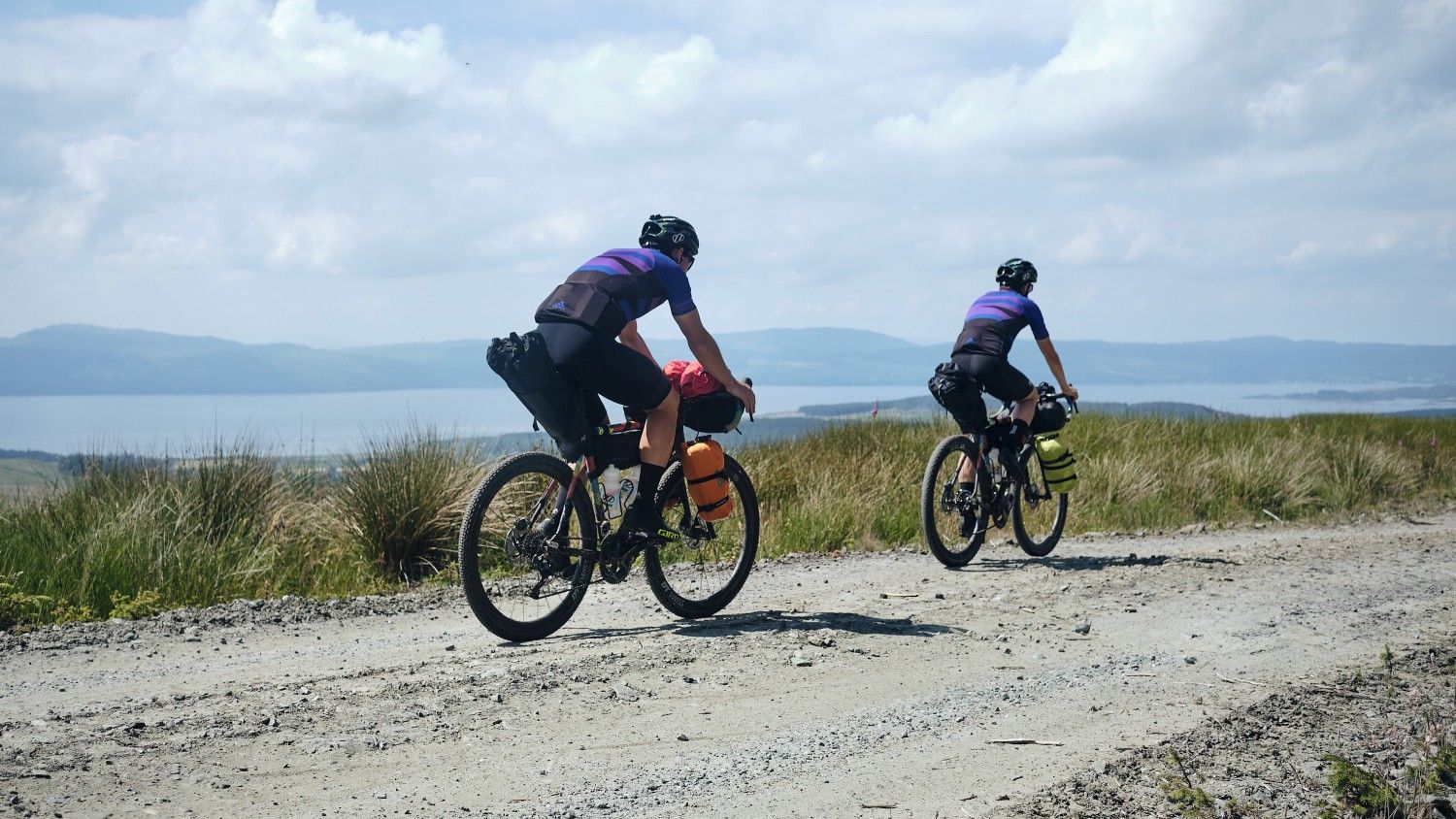
Wild About Argyll Trail — Bikepacking Scotland's lochs and coastline
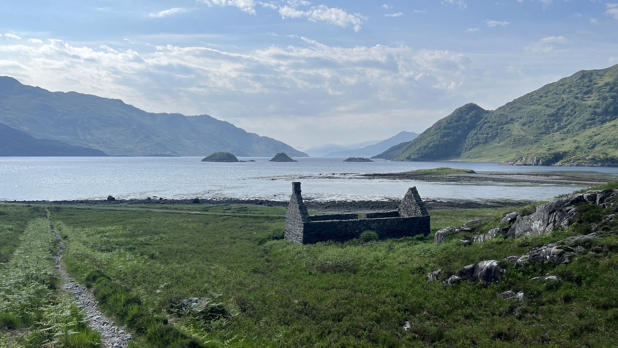
Cape Wrath Trail – Scotland’s wildest and most spectacular hiking route
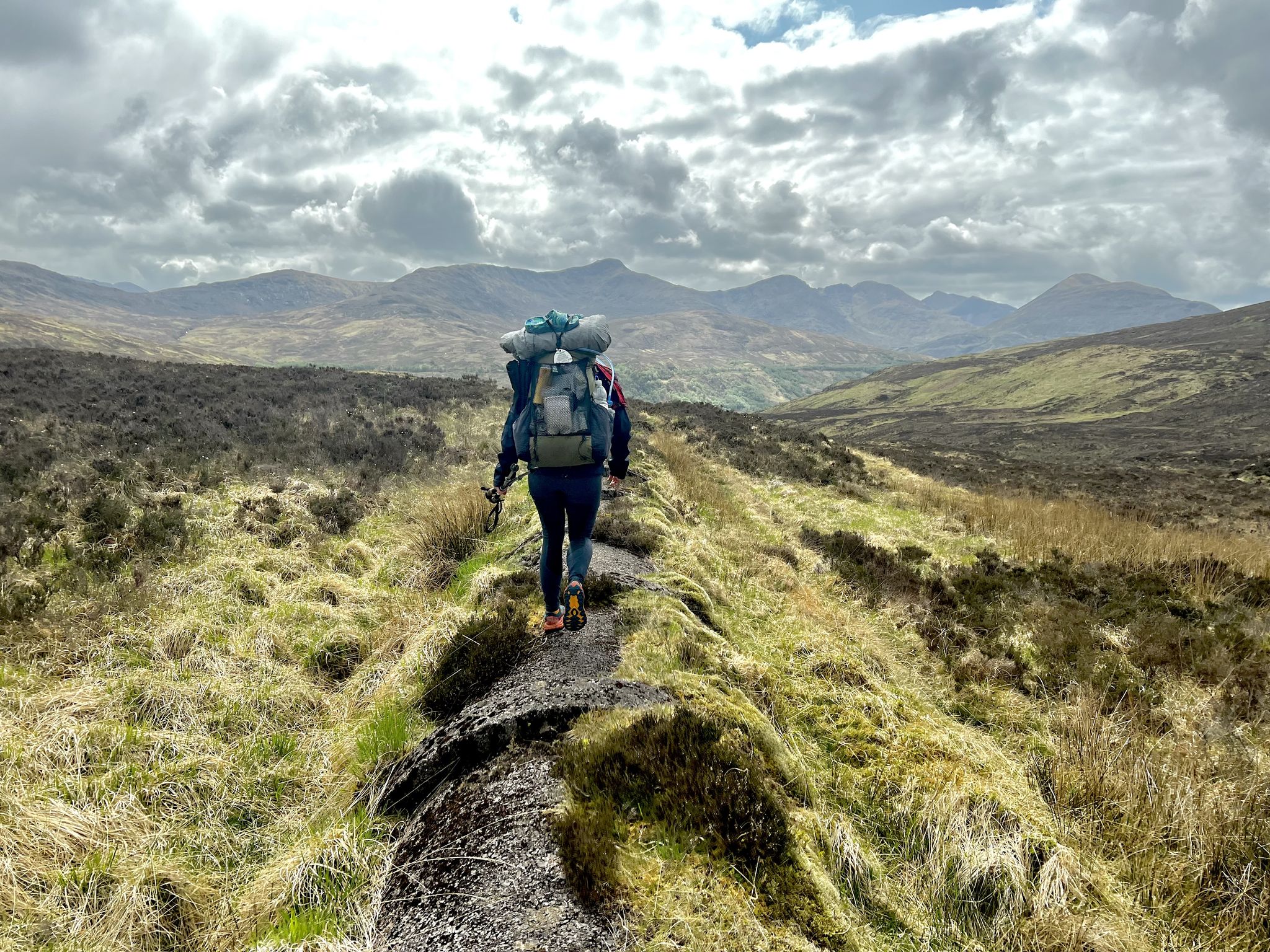
TGO Challenge 2023 – Coast to Coast: Oban to Montrose
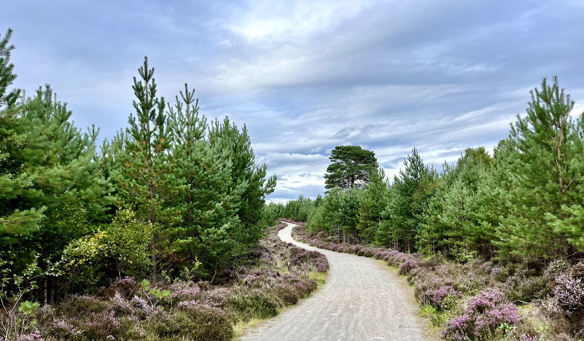
National Cycle Network Route 7 – Sunderland to Inverness
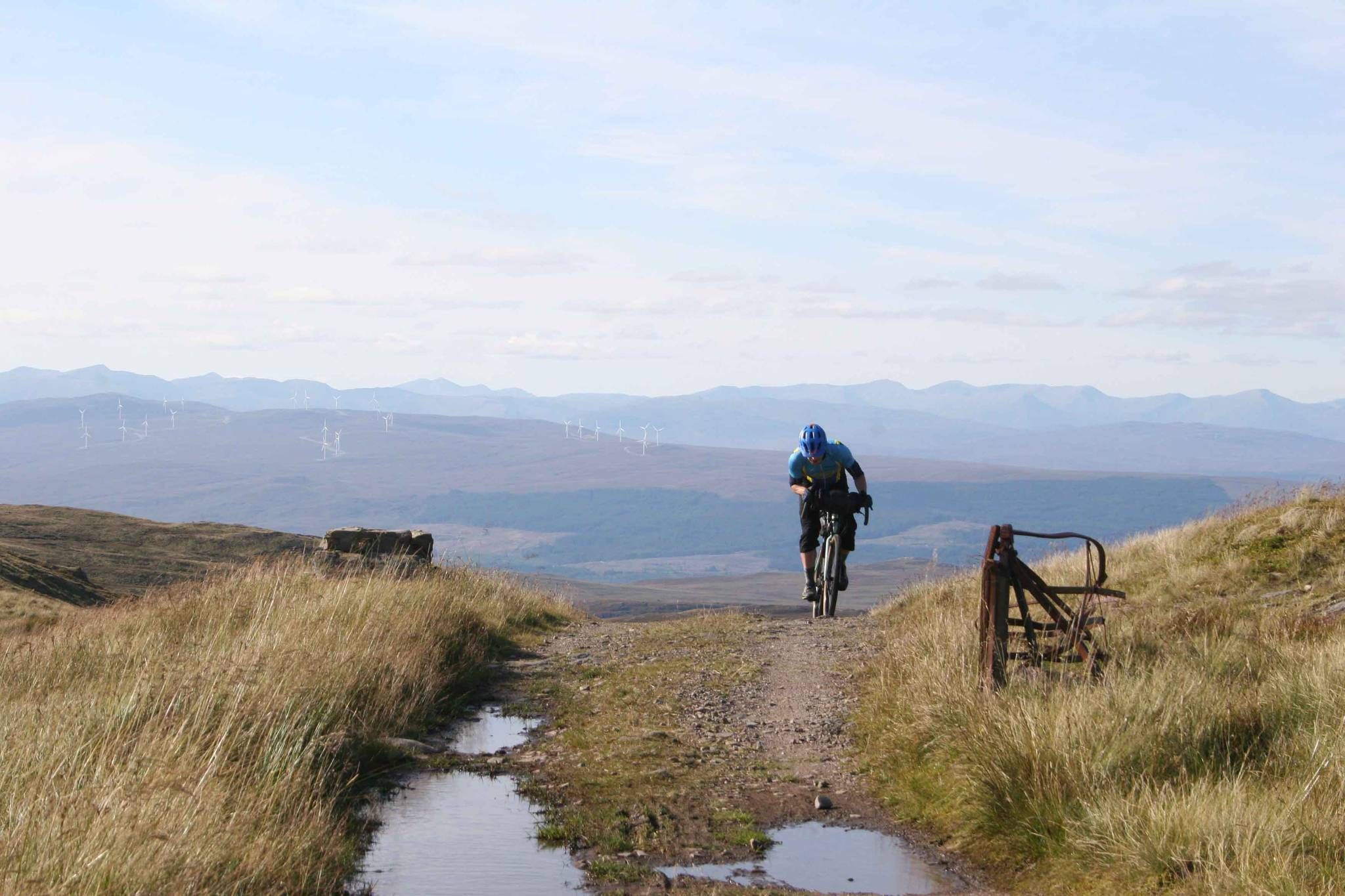
GB Divide — Great Britain end to end off-road on GBDURO
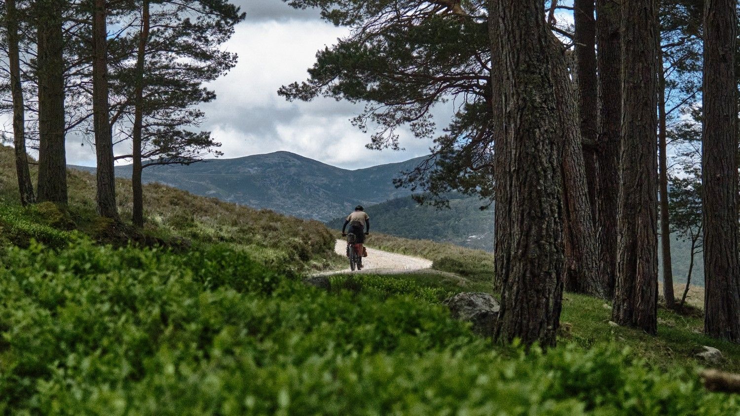
The Firetrail — Three days around the River Dee
Other adventures in the Grampian Mountains


Tips from the Community

Big rounded hill, a wide ridge, with extensive views over Glen Tilt.
0
0
Big rounded hill with extensive views to the pass of Killiecrankie.
0
0
Excellent winter route - when it isn't so muddy!
0
0
Easy to get to, and the views definitely make the walk worthwhile.
0
0
Frequently Asked Questions
How many running routes are available in the Grampian Mountains?
The Grampian Mountains offer a vast network of over 1500 running routes, catering to various fitness levels. You'll find a wide range of options, from gentle paths to challenging mountain trails.
What kind of terrain can I expect when running in the Grampian Mountains?
The terrain in the Grampian Mountains is incredibly diverse, shaped by towering peaks, expansive glens, and picturesque lochs. You can expect a mix of metamorphic and igneous rocks, with paths ranging from mostly paved, accessible trails to rugged, steep inclines. Many routes offer breathtaking vistas of the surrounding mountain ranges and valleys.
What do other runners say about the trails in the Grampian Mountains?
The running routes in the Grampian Mountains are highly rated by the komoot community, with an average score of 4.6 stars from over 300 reviews. More than 28,000 runners have explored this varied terrain, often praising the stunning scenery and the diverse range of challenges available.
Are there running routes suitable for beginners in the Grampian Mountains?
Yes, there are over 100 easy running routes in the Grampian Mountains. These typically feature mostly paved or well-maintained paths, suitable for those new to trail running or looking for a more relaxed jog. Many of these routes are up to 3 miles long with moderate elevation gain.
What are some challenging running routes for experienced trail runners?
For experienced trail runners seeking a challenge, the Grampian Mountains offer numerous difficult routes. Consider the Ring of Steall Skyrace route — Kinlochleven, a demanding 17.8-mile trail with over 7,000 feet of elevation gain. Another option is The White Mounth & Lochnagar loop from Spittal of Glen Muick, a hard run requiring very good fitness.
Are there family-friendly jogging options in the Grampian Mountains?
While the Grampian Mountains are known for their challenging peaks, there are indeed family-friendly jogging options. Look for routes categorized as 'easy' in the region, which often feature gentler gradients and shorter distances, making them suitable for families with children. These paths are typically well-maintained and offer a great way to enjoy the natural beauty together.
What natural features or landmarks can I see while jogging in the Grampian Mountains?
The Grampian Mountains are rich in natural beauty and historical landmarks. You can jog past stunning lochs like Loch Lomond, or explore areas within the Cairngorms National Park. Keep an eye out for impressive peaks and corries, and consider routes near historical sites such as Ruthven Barracks or even the iconic Balmoral Castle.
Are there any routes that offer stunning views?
Absolutely! Many running routes in the Grampian Mountains are renowned for their panoramic views. For example, the Ben Lomond Trail provides extensive views over Loch Lomond. You can also find breathtaking vistas from viewpoints like View of Loch Lomond from Conic Hill or the Stùc a' Chroin summit.
Are there circular running routes in the Grampian Mountains?
Yes, the Grampian Mountains offer many excellent circular running routes. These are perfect for exploring without retracing your steps. A notable example is the Beinn a' Ghlò Circuit in Cairngorms National Park, or the Ben Lawers Classic loop.
What is the best time of year for jogging in the Grampian Mountains?
The best time for jogging in the Grampian Mountains is generally from late spring to early autumn (May to September) when the weather is milder and daylight hours are longer. However, conditions can change rapidly, so always check local forecasts. Winter running is possible but requires appropriate gear, experience, and awareness of potential snow and ice.
Are there dog-friendly trails in the Grampian Mountains?
Many trails in the Grampian Mountains are dog-friendly, allowing you to enjoy your run with your canine companion. However, it's crucial to keep dogs under close control, especially in areas with livestock or ground-nesting birds, and to follow the Scottish Outdoor Access Code. Always check specific route details for any restrictions.
Where can I find parking for running routes in the Grampian Mountains?
Parking availability varies by trailhead. Many popular routes, such as the Schiehallion from Braes of Foss car park, have designated parking areas. It's advisable to check the specific route details on komoot for information on parking facilities at the starting point of your chosen trail.
Are there any routes that pass by waterfalls?
While specific waterfall data isn't always listed, the Grampian Mountains are home to numerous rivers and glens where waterfalls can be found. For example, the Falls of Dochart & Loch Tay loop from Killin explicitly features the impressive Falls of Dochart, offering a scenic running experience.
Most popular routes in the Grampian Mountains
Most popular attractions in the Grampian Mountains

Get inspired with the komoot mobile app


Explore more
Browse the best Running Trails & Routes in other regions.
