The best cycling routes around Pradelles
4.3
(188)
2,520
riders
165
rides
Touring cycling around Pradelles offers diverse terrain, from the elevated plateaus of the Haute-Loire to the valleys of the Allier and Loire rivers. The region features panoramic views of the Margeride and the Mézenc mountains, alongside significant water bodies like the Lac de Naussac. Cyclists can navigate routes that include varied elevation changes, river gorges, and paths around ancient volcanic craters.
Best touring cycling routes around Pradelles
- The most popular touring cycling route is View of Lac de Naussac –…
Last updated: October 16, 2026
4.2
(16)
154
riders
32.3km
02:08
450m
450m
Hard bike ride. Very good fitness required. Mostly paved surfaces. Suitable for all skill levels.
4.7
(6)
79
riders
56.7km
03:48
850m
850m
Hard bike ride. Very good fitness required. Mostly paved surfaces. Suitable for all skill levels.

4.3
(3)
83
riders
64.1km
04:03
790m
800m
Hard bike ride. Very good fitness required. Mostly paved surfaces. Suitable for all skill levels.
51
riders
76.6km
05:23
1,490m
1,490m
Hard bike ride. Very good fitness required. Mostly paved surfaces. Suitable for all skill levels.
4.0
(8)
70
riders
15.6km
01:19
110m
110m
Easy bike ride. Great for any fitness level. Mostly paved surfaces. Suitable for all skill levels.
Get access to more routes and recommendations from other explorers.
Already have an account?
Our route recommendations are based on thousands of hikes, rides, and runs completed by other people on komoot.
Start today with a free account
Your next adventure awaits.
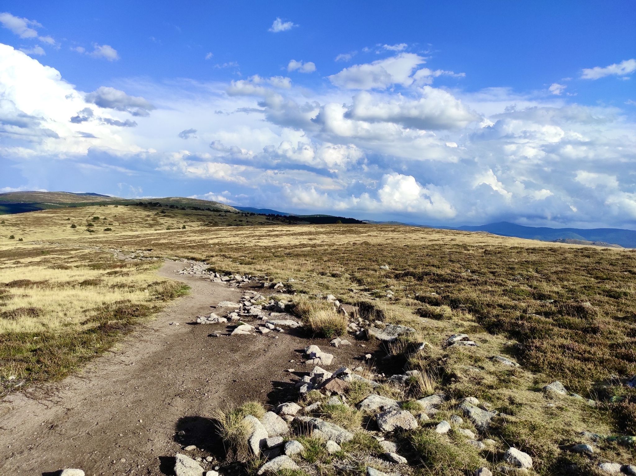
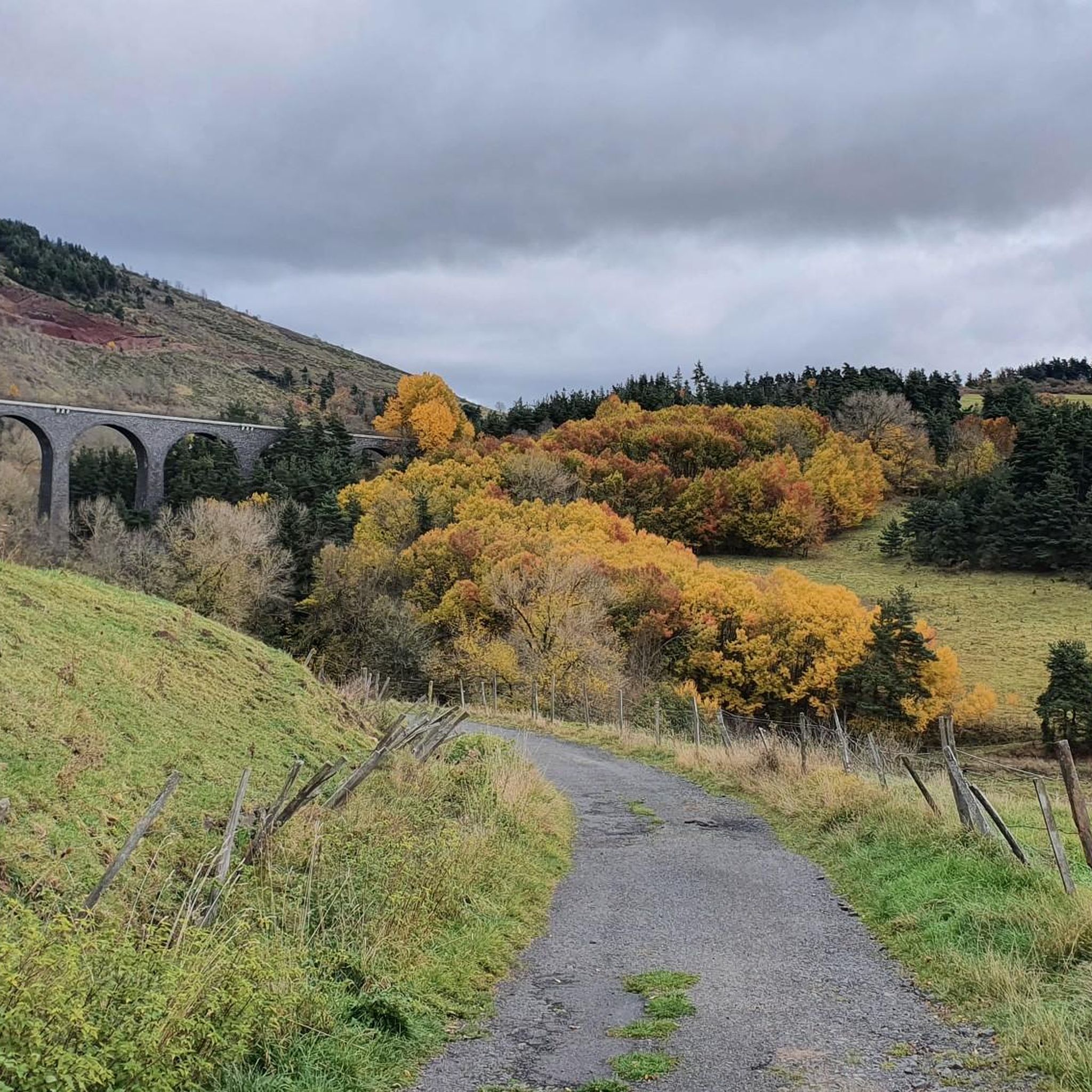
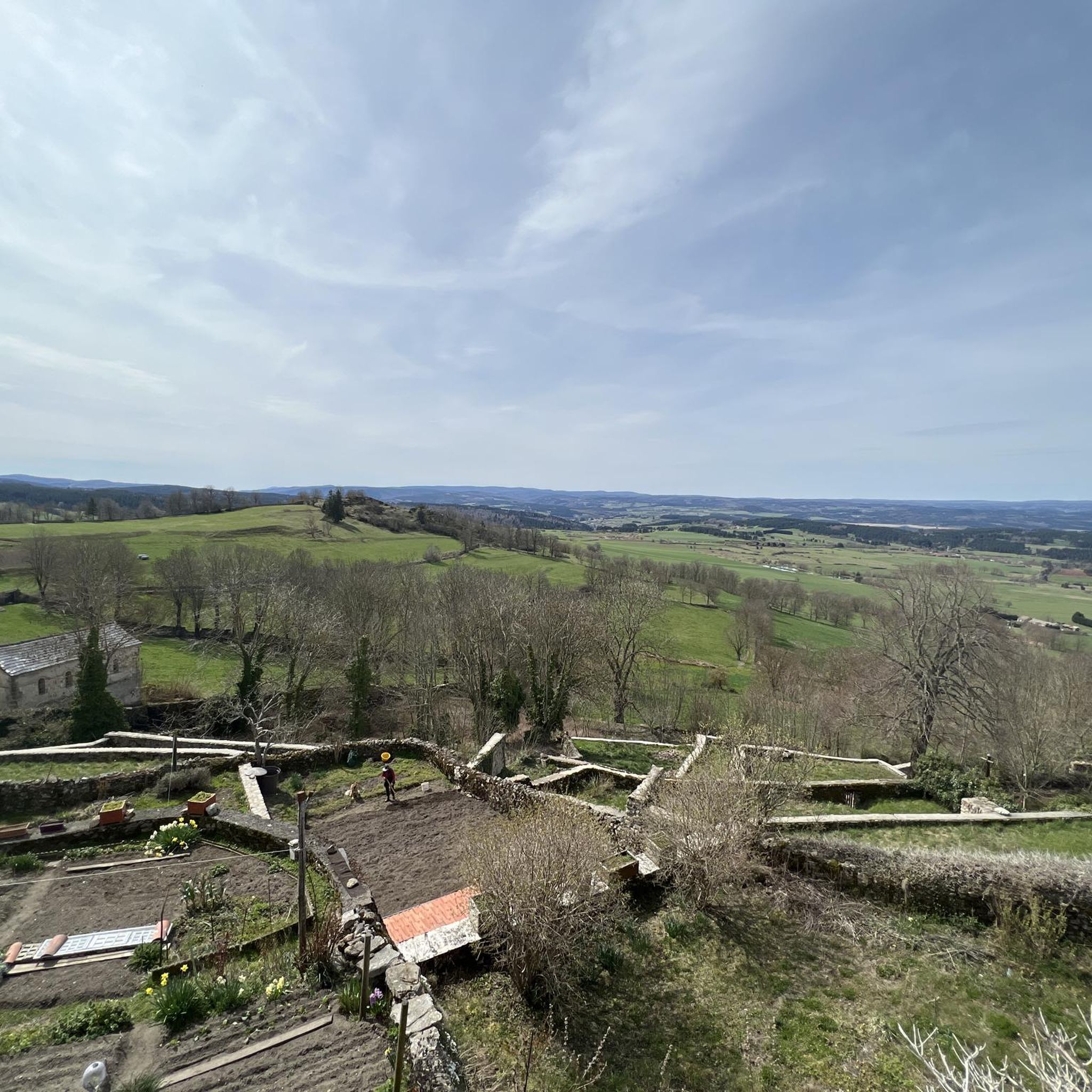
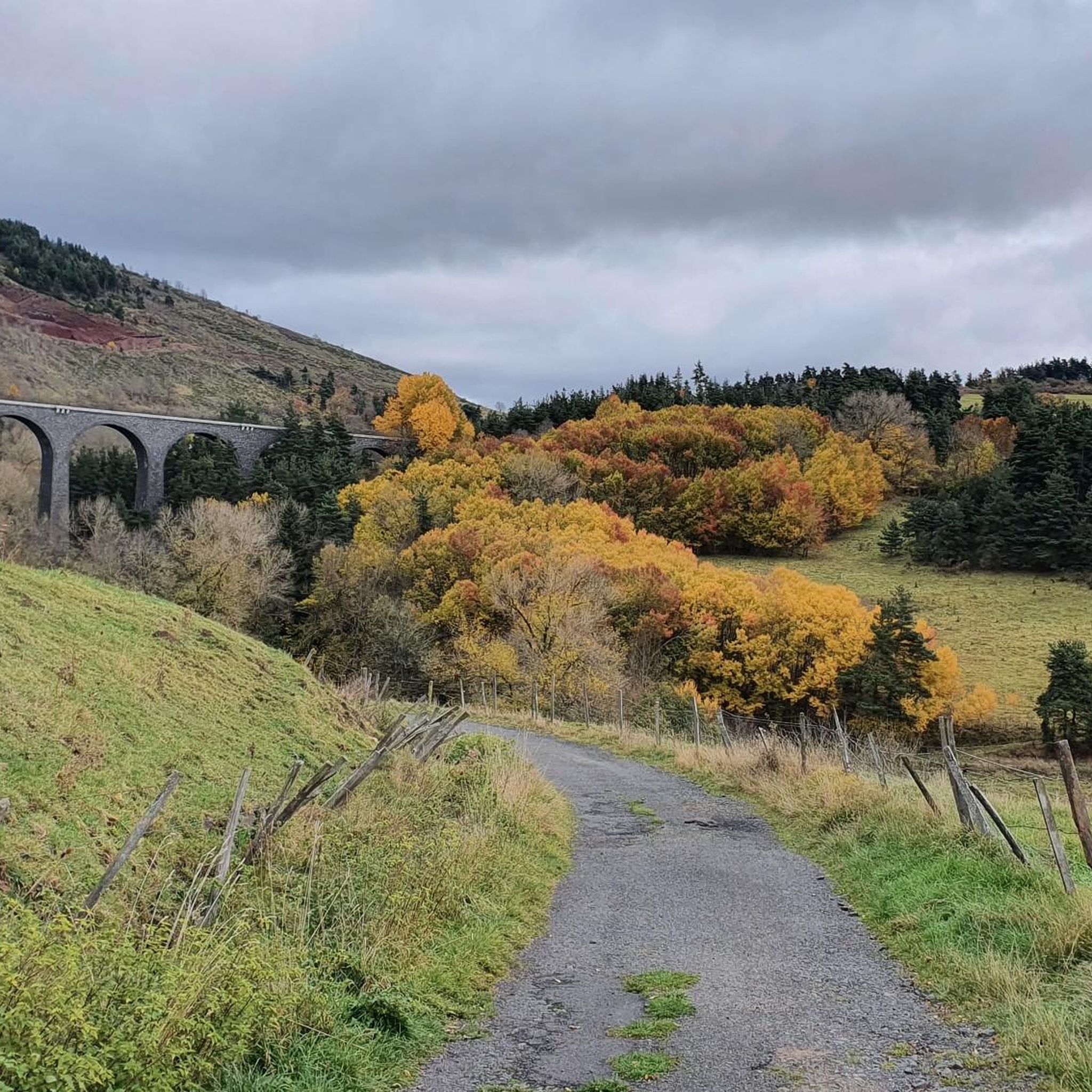

Other adventures around Pradelles

Tips from the Community

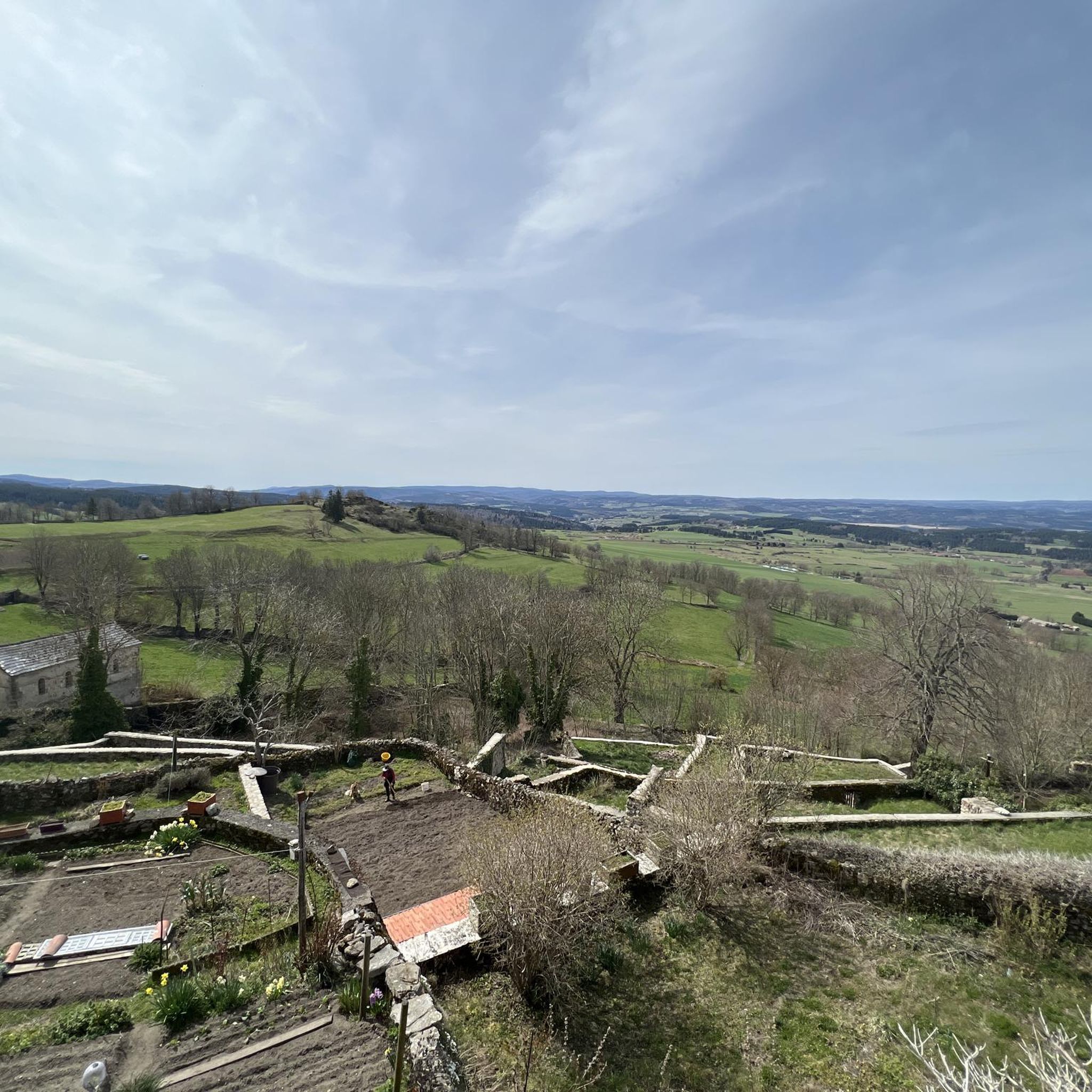
One of the prettiest views in the region. I was lucky enough to have a magnificent blue sky. Pure happiness
0
0

Market on Tuesdays (summer) and Saturdays
0
0
There we found the Meteil bread seller (a mixture of rye and sourdough) from the previous day's market in Costaros, under the market hall. Producers of fruit and vegetables, cheeses, and charcuterie. Everything for an ideal picnic.
0
0


The acoustics are incredibly good!
1
0

Look out for a sign for the bar/restaurant belonging to the camping - in Spring 2025 it is the only open gastronomy we encountered in this beautiful town
0
0

As you skirt the Naussac reservoir, you will discover the Cascade du Donozau. This waterfall, which cascades down a small rock face, creates a picturesque scene ideal for a peaceful picnic. The surrounding area offers a variety of hiking trails that will allow you to explore the diverse landscapes of the region.
1
0
Frequently Asked Questions
What kind of terrain can I expect when touring cycling around Pradelles?
Touring cycling around Pradelles offers a diverse landscape, from high-altitude plateaus at 1,150 meters to the valleys of the Allier and Loire rivers. You'll encounter varied elevation changes, river gorges, and paths around significant water bodies like the Lac de Naussac and the volcanic Lac du Bouchet. The region provides panoramic views of the Margeride, the Allier valley, and the Mézenc mountains.
Are there many touring cycling routes available in Pradelles?
Yes, Pradelles is an excellent destination for touring cyclists. There are over 150 touring cycling routes available, catering to various skill levels. About 13 of these are considered easy, 40 are moderate, and over 100 routes offer a more challenging experience with significant elevation gain.
What are some notable natural features or viewpoints I can experience on a touring cycling route near Pradelles?
The region is rich in natural beauty. Many routes offer expansive views of Lac de Naussac. You can also find routes that take you near the dramatic Gorges de l'Allier and Gorges de la Loire, or past the unique Lac du Bouchet, a lake formed in an ancient volcanic crater. The iconic Mont Gerbier de Jonc, the source of the Loire River, is also within reach.
What historical landmarks or attractions can I visit while cycling in Pradelles?
Pradelles itself is classified as one of France's 'Most Beautiful Villages' and offers a rich historical backdrop. You can explore medieval architecture, including the Saint-Clément and La Verdette portals, the Sainte-Reine fountain, and the Maison forte du Mazouric. The Chapel of Our Lady at Saint James Hospital is another significant site. The village was also a crucial stop on the historic Régordane Way, now the GR 70 or Robert Louis Stevenson Trail.
Are there any family-friendly touring cycling routes around Pradelles?
While many routes in Pradelles involve significant elevation, there are easier options suitable for families. For a unique experience, the Vélo-rail of Pradelles allows visitors to pedal along an old railway line, offering routes of varying lengths through tunnels and viaducts, which can be a fun family activity.
Are there any circular touring cycling routes in the Pradelles area?
Yes, many touring cycling routes around Pradelles are designed as loops. For instance, the Lake Naussac – Lac de Naussac loop from Langogne offers lakeside scenery, and the For market lovers – Flora Village loop from Langogne provides a longer circular journey.
What is the best time of year to go touring cycling in Pradelles?
Given Pradelles's altitude of 1,150 meters, the best time for touring cycling is generally from late spring through early autumn. During these months, the weather is typically more favorable, and the panoramic views are at their most stunning. Always check local weather forecasts before heading out.
What do other touring cyclists say about the routes in Pradelles?
The touring cycling routes around Pradelles are highly rated by the komoot community, with an average score of 4.4 stars from over 100 reviews. Reviewers often praise the diverse terrain, from high-altitude plateaus to river gorges, and the expansive views of the surrounding natural landscapes like Lac de Naussac and the Mézenc mountains.
Is there parking available near the touring cycling routes in Pradelles?
Yes, as a popular outdoor destination, Pradelles and nearby towns like Langogne offer various parking options. It's advisable to check specific starting points of routes for designated parking areas, especially for longer tours.
Can I reach the touring cycling routes in Pradelles using public transport?
Pradelles is a village in the Haute-Loire department. While public transport options might be more limited compared to larger cities, regional bus services or train connections to nearby towns (like Langogne) could provide access. It's recommended to research specific routes and schedules in advance to plan your journey.
Are there any long-distance touring cycling routes that pass through or near Pradelles?
Yes, Pradelles is situated on the historic Régordane Way, which is now part of the GR 70, also known as the Robert Louis Stevenson Trail. While primarily a hiking trail, its presence indicates a network of paths and roads that can be incorporated into longer touring cycling adventures, following in the footsteps of historical travelers.
Are there any particularly challenging touring cycling routes in the Pradelles area?
Yes, Pradelles offers numerous challenging routes with significant elevation gain, ideal for experienced touring cyclists. For example, the Langogne – Col de Meyrand Viewpoint loop from Langogne is a difficult 75 km route with over 1400 meters of elevation gain, providing a demanding yet rewarding experience.
Most popular routes around Pradelles
Most popular attractions around Pradelles

Get inspired with the komoot mobile app


Explore more
Browse the best Cycling routes in other regions.
