The best walks and hikes around Éclusier-Vaux
4.4
(220)
1,071
hikers
69
hikes
Hiking around Éclusier-Vaux offers diverse trails along the Somme River and its canal system. The landscape is characterized by gentle elevations, riverine paths, and historical lock systems. Many routes provide views from elevated points, such as the belvédère de Vaux, overlooking the water and surrounding countryside. The region's terrain is generally accessible, with a mix of open paths and sections near waterways.
Best hiking trails around Éclusier-Vaux
- The most popular hiking route is Belvedères des Frise et Vaux — loop…
Last updated: October 5, 2026
4.7
(38)
115
hikers
11.8km
03:12
110m
110m
Moderate hike. Good fitness required. Mostly accessible paths. Sure-footedness required.
4.5
(4)
43
hikers
7.91km
02:10
80m
80m
Moderate hike. Good fitness required. Mostly accessible paths. Sure-footedness required.

18
hikers
11.6km
03:03
100m
100m
Moderate hike. Good fitness required. Easily-accessible paths. Suitable for all skill levels.
4.5
(4)
40
hikers
8.98km
02:27
90m
90m
Moderate hike. Good fitness required. Mostly accessible paths. Sure-footedness required.
4.3
(12)
30
hikers
Moderate hike. Good fitness required. Easily-accessible paths. Suitable for all skill levels.
Get access to more routes and recommendations from other explorers.
Already have an account?
Our route recommendations are based on thousands of hikes, rides, and runs completed by other people on komoot.
Start today with a free account
Your next adventure awaits.


Tips from the Community

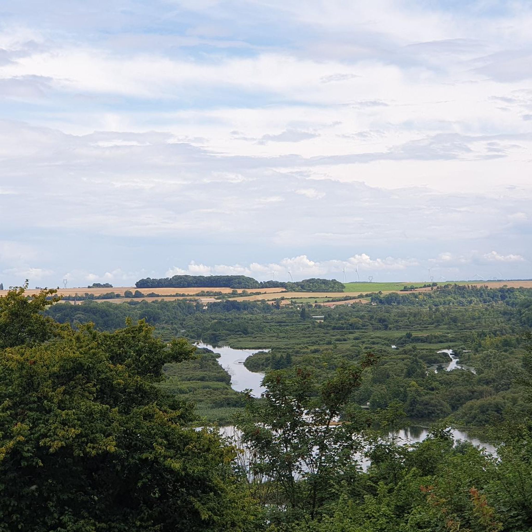
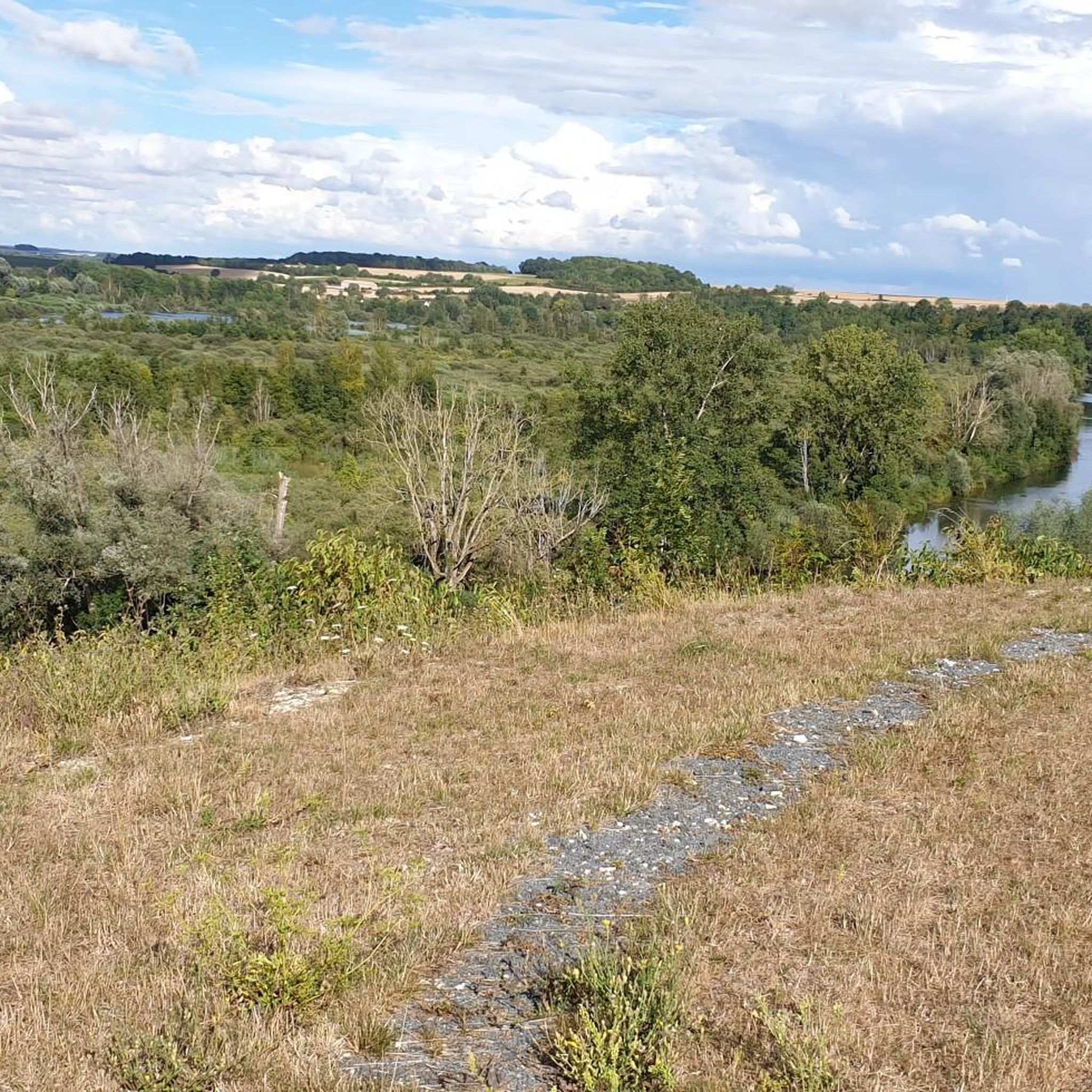
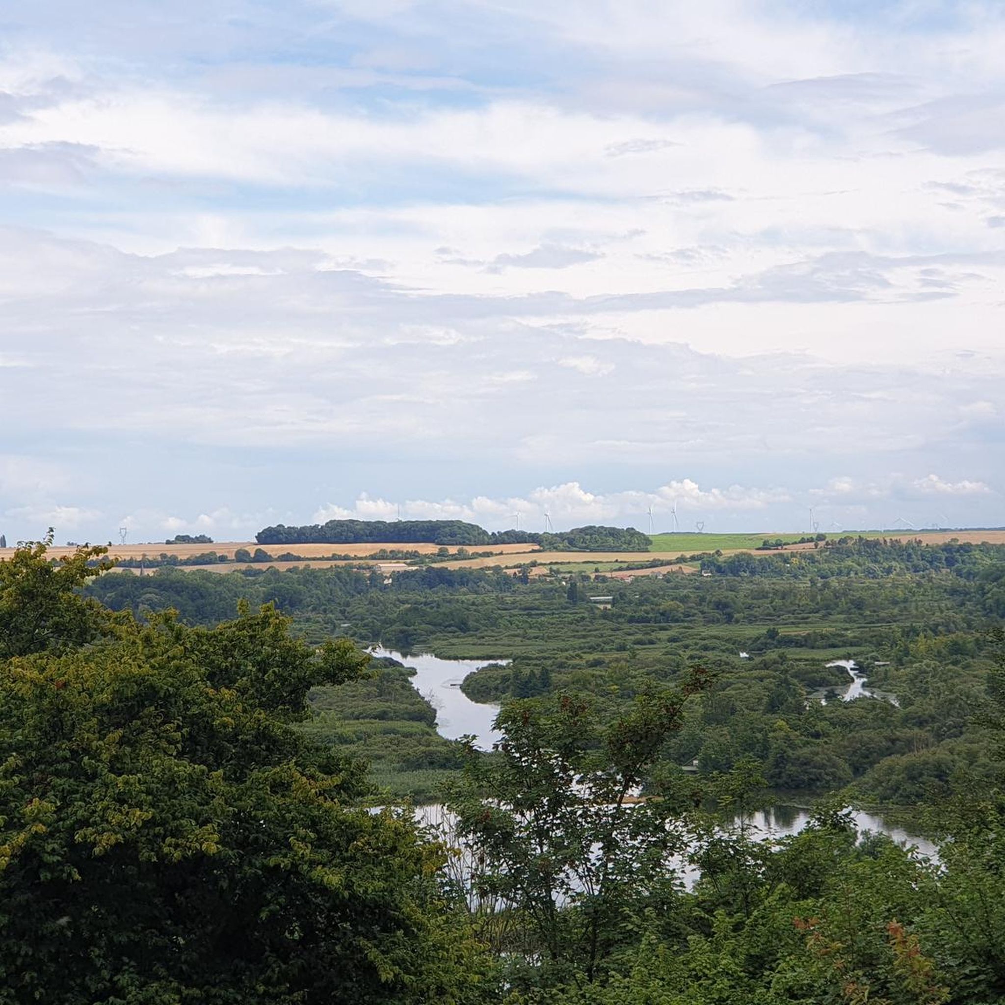
The path is narrow and runs along the steep slope. Caution, limestone can be particularly slippery in damp conditions. However, at the right time of year, you have the opportunity to discover orchids here and otherwise it is a species-rich environment - not to mention the pretty view.
1
0

Welcome to Eclusier-Vaux, a municipality in the Somme with 85 inhabitants.
15
0
The castle served for centuries as a meeting place for the regional nobility and thinkers.
15
0
viewpoint la Montagne de Frise
14
0

There are several small locks with benches to view them well
5
0

There are several of these bridges - unfortunately I didn't see any of them in action.
0
0

Frequently Asked Questions
How many hiking trails are available around Éclusier-Vaux?
There are over 60 hiking trails around Éclusier-Vaux, offering a wide range of options for different skill levels and preferences. You'll find everything from easy strolls along the canal to more moderate routes with scenic viewpoints.
What types of hiking difficulties can I expect in Éclusier-Vaux?
The trails around Éclusier-Vaux are predominantly easy to moderate. There are 23 easy routes perfect for a relaxed outing, and 38 moderate trails that offer a bit more challenge. A few difficult routes are also available for experienced hikers seeking a more strenuous adventure.
Are there any circular hiking routes in Éclusier-Vaux?
Yes, many of the trails around Éclusier-Vaux are circular, allowing you to start and end at the same point. For example, the Belvedères des Frise et Vaux — loop from Frise is a popular moderate circular route offering multiple viewpoints over the Somme valley.
What are the typical durations for hikes around Éclusier-Vaux?
Hikes around Éclusier-Vaux vary in length, with many moderate routes taking between 2.5 to 3.5 hours to complete. For instance, the The Somme Lock System – Vaux Viewpoint loop from Éclusier-Vaux typically takes around 2 hours 30 minutes, while shorter easy walks can be completed in under 2 hours.
Are there family-friendly hiking options in Éclusier-Vaux?
Yes, Éclusier-Vaux offers several family-friendly trails, particularly those along the Canal de la Somme. These routes are generally flatter and provide easy access, making them suitable for families with children. The Canal de la Somme Cycle Path loop from Suzanne is an easy option that's great for a family outing.
What can I see along the hiking trails in Éclusier-Vaux?
The trails often feature scenic views of the Somme River and its intricate canal system, historical lock systems, and elevated viewpoints like the Vaux Viewpoint. You might also encounter historical sites such as the Lochnagar Crater or the La Boisselle Mine Crater, which offer a glimpse into the region's past.
What do other hikers enjoy most about Éclusier-Vaux?
The area is highly rated by the komoot community, with an average score of 4.4 stars. Reviewers often praise the diverse landscape, the well-maintained paths along the river and canal, and the stunning views from elevated points like the Frise Viewpoint.
Is public transport available to reach hiking trails in Éclusier-Vaux?
While Éclusier-Vaux is a smaller village, some regional bus services might connect to nearby towns. However, for direct access to many trailheads, especially those outside the immediate village, driving is often the most convenient option. It's advisable to check local transport schedules for specific routes.
Are there any historical landmarks or attractions near the hiking routes?
Yes, the region is rich in history. Beyond the natural beauty, you can explore significant sites such as the Château de Péronne, which also houses the Historial of the Great War. These attractions offer a deeper understanding of the area's heritage and are often accessible from or near hiking paths.
What is the best time of year to hike in Éclusier-Vaux?
The best time to hike in Éclusier-Vaux is typically from spring to autumn (April to October). During these months, the weather is generally mild and pleasant, and the natural scenery along the Somme River and canal is at its most vibrant. Winter hiking is possible, but some paths might be muddy or require appropriate gear.
Are dogs allowed on the hiking trails in Éclusier-Vaux?
Generally, dogs are welcome on most public hiking trails in Éclusier-Vaux, provided they are kept on a leash and owners clean up after them. It's always a good idea to check specific trail regulations or local signage, especially in nature reserves or protected areas, to ensure compliance.
Are there any less-traveled or 'hidden gem' hikes in the area?
While popular routes like the Canal de la Somme Cycle Path – Château de Suzanne loop from Éclusier-Vaux offer great experiences, exploring some of the slightly less-known paths along the smaller tributaries or through local woodlands can reveal quieter, equally charming sections of the landscape. These often provide a more serene experience away from the main viewpoints.
Most popular routes around Éclusier-Vaux
Most popular attractions around Éclusier-Vaux

Get inspired with the komoot mobile app


Explore more
Browse the best Hikes in other regions.
