The best mountain hikes in Limburg
4.8
(23)
53
hikers
25
hikes
Mountaineering routes in Limburg traverse a varied landscape, characterized by rolling hills, ancient river valleys, and unique geological formations. The region, particularly the Heuvelland in South Limburg, features modest elevations, including the Vaalserberg, the highest point in the European Netherlands at 323 meters (1,056 feet). Rewilded spoil tips from mining history and extensive nature reserves like Hoge Kempen National Park offer diverse terrain for challenging ascents and strenuous hikes. Chalk cliffs and terraced landscapes further define the region's topography.
Best mountaineering routes in Limburg
- The most popular mountaineering route is Picnic Spot by the Stream – Devil's Mountain (Duivelsberg) loop from Ubbergen, a 8.6 miles (13.8 km) trail that takes 3 hours 48 minutes to complete. This moderate route explores the notable Devil's Mountain area.
- Another top favourite among local mountaineers is Picnic Spot by the Stream – Heerlijkheid Beek Viewpoint loop from Berg en Dal, a moderate 8.2 miles (13.2 km) path. This route offers views from the Heerlijkheid Beek viewpoint.
- Local mountaineers also love the Maria Monument, Gulperberg – Virgin Mary statue loop from Gulpen-Wittem, a 6.5 miles (10.4 km) trail leading through the Gulperberg area, often completed in about 2 hours 52 minutes.
- Mountaineering in Limburg is defined by rolling hills, rewilded spoil tips, and varied nature reserves. The network offers options for different ability levels, from moderate ascents to more challenging paths.
- The routes in Limburg are highly rated by the komoot community with an average score of 4.7 stars from more than 20 reviews. More than 70 mountaineers have used komoot to explore Limburg's varied terrain.
Last updated: October 7, 2026
4.8
(8)
20
hikers
Moderate mountaineering route. Good fitness required. Easily-accessible paths. Suitable for all skill levels.
4.7
(3)
3
hikers
10.5km
02:53
170m
170m
Moderate mountaineering route. Good fitness required. Easily-accessible paths. Suitable for all skill levels.

4.0
(2)
7
hikers
16.5km
04:33
270m
280m
Hard mountaineering route. Good fitness required. Sure-footedness, sturdy shoes and alpine experience required.
4.8
(4)
6
hikers
12.4km
03:19
130m
130m
Moderate mountaineering route. Good fitness required. Easily-accessible paths. Suitable for all skill levels.
3
hikers
Easy mountaineering route. Great for any fitness level. Easily-accessible paths. Suitable for all skill levels.
Moderate mountaineering route. Good fitness required. Easily-accessible paths. Suitable for all skill levels.
2
hikers
14.8km
04:05
250m
250m
Moderate mountaineering route. Good fitness required. Easily-accessible paths. Suitable for all skill levels.
5.0
(2)
4
hikers
15.9km
04:27
300m
300m
Moderate mountaineering route. Good fitness required. Easily-accessible paths. Suitable for all skill levels.
5.0
(1)
1
hikers
Easy mountaineering route. Great for any fitness level. Easily-accessible paths. Suitable for all skill levels.
Get access to more routes and recommendations from other explorers.
Already have an account?
Our route recommendations are based on thousands of hikes, rides, and runs completed by other people on komoot.
Start today with a free account
Your next adventure awaits.
Popular around Limburg
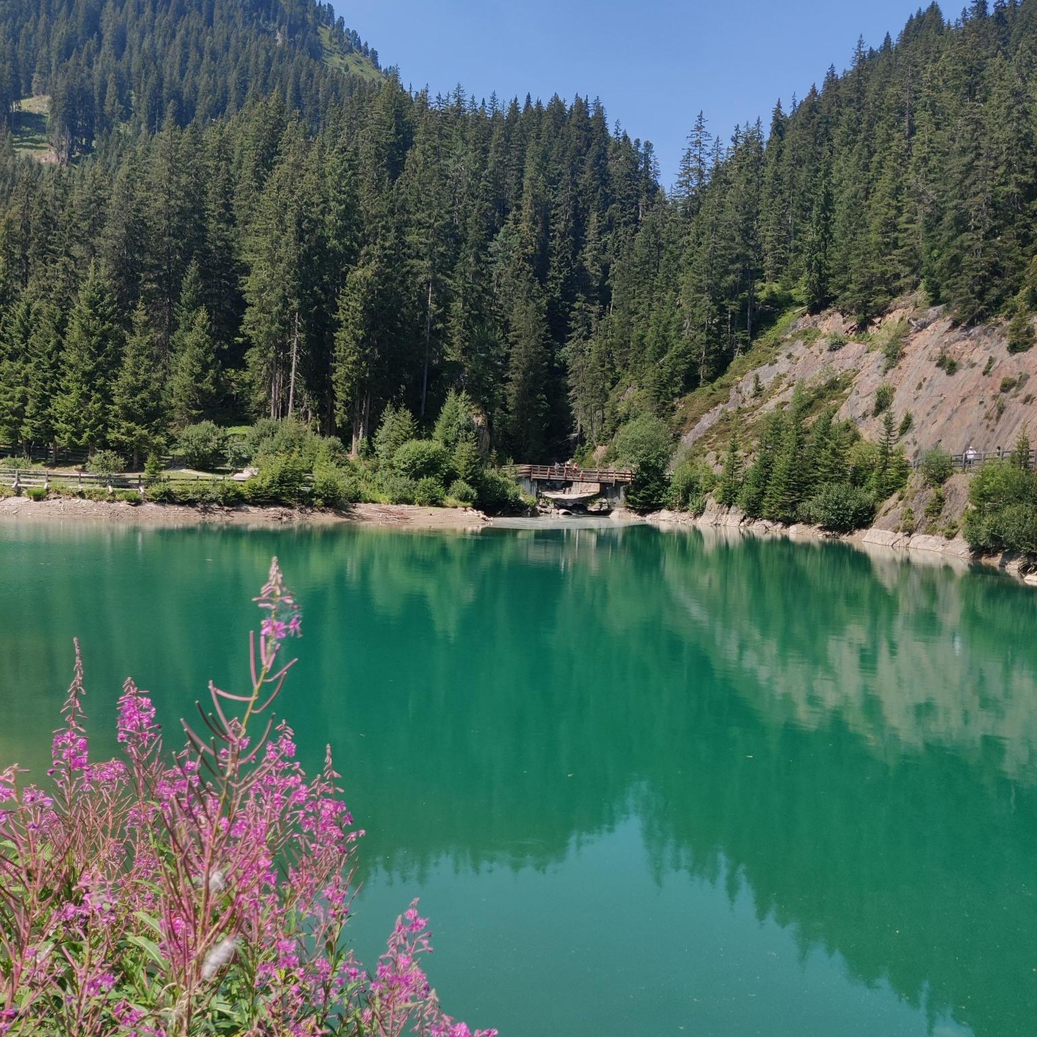
Mountain Hikes around Eijsden-Margraten

Mountain Hikes around Margraten
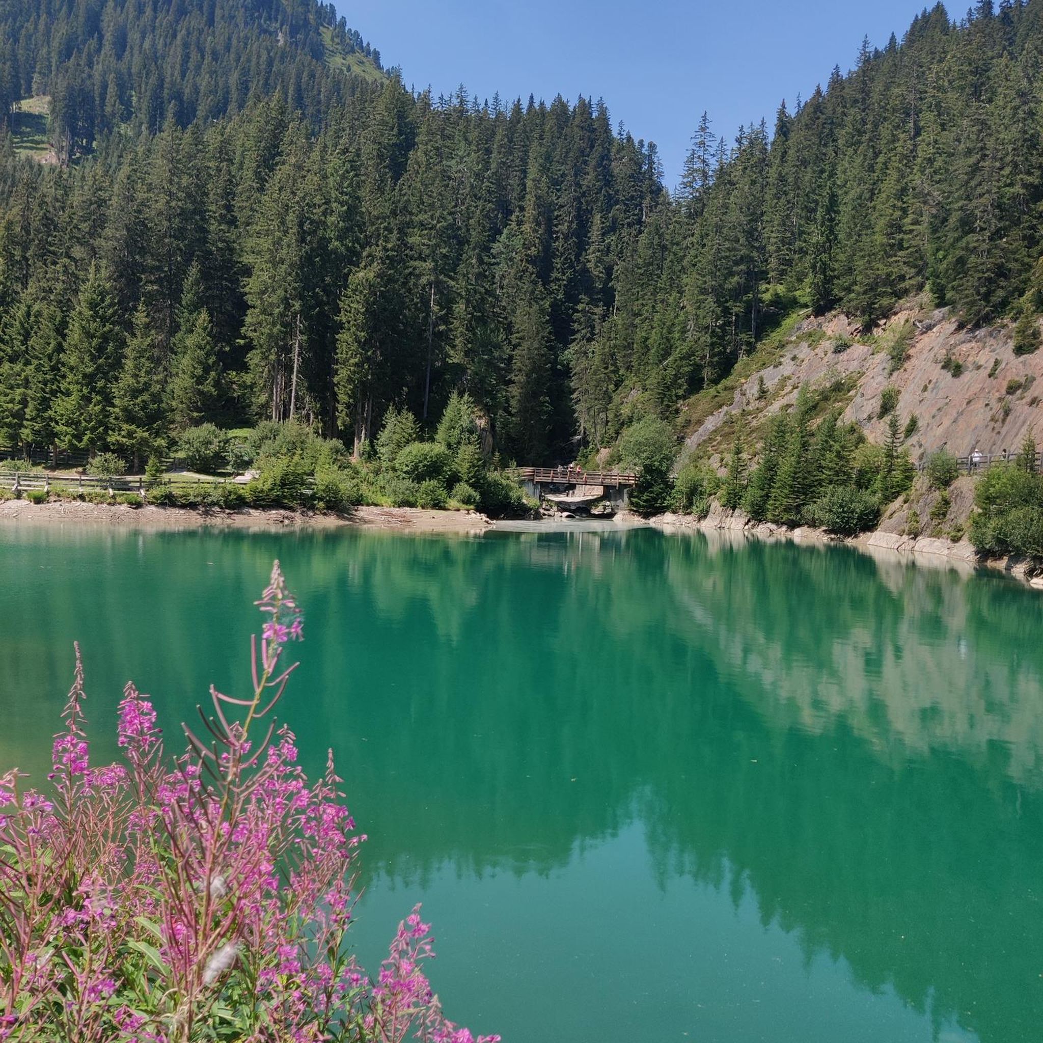
Mountain Hikes around Valkenburg Aan De Geul
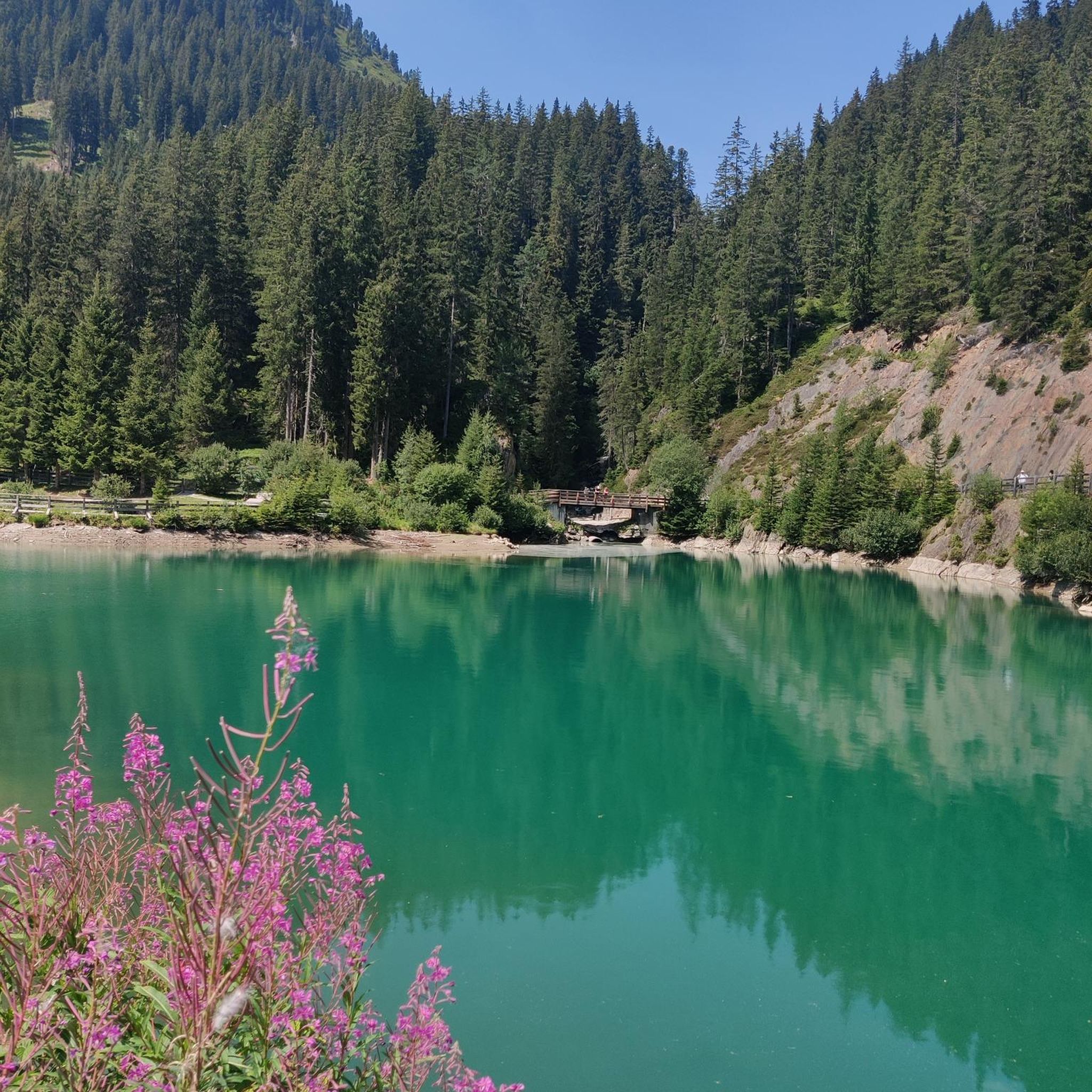
Mountain Hikes around Vaals
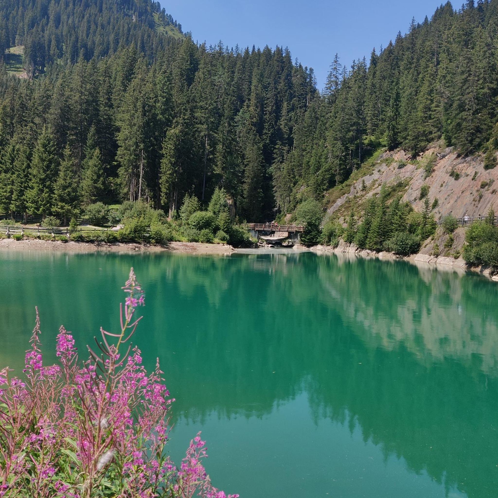
Mountain Hikes around Gulpen-Wittem
Mountain Hikes around Vijlenerbos
Mountain Hikes around Schweibergerbosch
Mountain Hikes around Simpelveld
Mountain Hikes around Voerendaal
Mountain Hikes in Bemelerberg & Schiepersberg
Other adventures in Limburg


Tips from the Community

As early as 1834, a mission cross was placed on the Gulperberg and processions were held here annually. In 1935, the Maria monument was erected on the hilltop. The monument as a whole is approximately 13 meters high. The pedestal is 10 meters high and was designed by sculptor-architect Piet Gerrits. The square base is decorated on all sides with wide cross-shaped mosaics depicting the role of Mary in salvation history. On top of the pedestal, a statue of the crowned Virgin Mary is placed. Mary (without the child Jesus) spreads her hands in a blessing gesture. The approximately 3-meter-high statue of white concrete is a design by the Maastricht sculptor Charles Vos.
4
0
The Gulperberg is the northernmost spur of the Crapoel plateau and, at 157m, offers a magnificent, almost 360° view over the Geuldal in the east and the Gulpdal in the west. The two rivers meet in Gulpen.
4
0

In the past, people came here to work, nowadays to relax and enjoy. The past wasn't always better. 😉
4
0

A steep climb leads up the mountain. The view makes up for it.
1
0
A steep climb leads up the mountain. The view makes up for it.
1
0


The rock formations historically originate from the Meno valley and are approx. 2 million years old
4
0
The Neercanne castle is built on the original site of Roman fortifications whose caves still exist and are used as a wine cellar. In the hall, the original staircase with a railing on wide columns is still present. Weapon trophies are depicted in relief on the ceiling. Currently, the castle is used as a hotel and restaurant. The restaurant has been awarded one star by the Michelin Guide.
5
0
Frequently Asked Questions
How many mountaineering routes are available in Limburg?
Limburg offers over 25 mountaineering routes, ranging from easy strolls to more challenging ascents. These routes traverse diverse landscapes, including rolling hills, rewilded spoil tips, and extensive nature reserves.
Are there routes suitable for beginners or families with children?
Yes, there are 10 easy mountaineering routes in Limburg perfect for beginners or families. A great option is the Sunken Path in the Forest – Devil's Mountain (Duivelsberg) loop from Berg en Dal, which is 5.4 km long and takes about 1 hour 30 minutes to complete.
What are some of the more challenging mountaineering routes in Limburg?
For those seeking a greater challenge, Limburg offers 2 difficult mountaineering routes. One notable option is the Fort Sint Pieter – Château Neercanne loop from Maastricht, a 16.7 km route with significant elevation changes, taking around 4 hours 35 minutes to complete.
What kind of unique geological features can I expect to see on these routes?
Limburg's mountaineering routes showcase unique geological features such as the rolling hills of the Heuvelland, the highest point in the European Netherlands at the Vaalserberg, and rewilded spoil tips from mining history. You can also explore areas with chalk cliffs and terraced landscapes, like those found near the Sint Pietersberg.
Are there any circular mountaineering routes in Limburg?
Many of Limburg's mountaineering routes are circular, allowing you to start and end at the same point. An example is the Picnic Spot by the Stream – Devil's Mountain (Duivelsberg) loop from Ubbergen, a moderate 13.8 km trail that offers a complete loop experience.
What is the best season for mountaineering in Limburg?
The best season for mountaineering in Limburg is generally spring through autumn, when the weather is mild and the landscapes are vibrant. While winter mountaineering is possible, conditions can be more challenging due to colder temperatures and potentially slippery paths, especially in higher elevation areas or on spoil tips.
Are there any scenic viewpoints along the mountaineering trails?
Absolutely. Many routes offer rewarding views. For instance, the Picnic Spot by the Stream – Heerlijkheid Beek Viewpoint loop from Berg en Dal provides excellent vistas. Additionally, the Vaalserberg, the highest point in the European Netherlands, offers panoramic views from its observation tower.
What do other mountaineers enjoy most about Limburg's routes?
The mountaineering routes in Limburg are highly rated by the komoot community, with an average score of 4.7 stars. Reviewers often praise the varied terrain, the unexpected elevation changes for the region, and the immersive nature experiences found across the trails.
Are there any specific attractions or landmarks I can visit along the routes?
Yes, several routes pass by interesting attractions. You could visit the Vaalserberg Three-Country Point, where the Netherlands, Belgium, and Germany meet. Other highlights include the Epen Fulling Mill or the unique Marl Cliff along the Geul. For more ideas, explore the Attractions in Limburg guide.
Are there any routes that explore the region's mining history?
Yes, Limburg's mining past has left unique landscapes, including rewilded spoil tips that now offer adventurous routes. The View from Tweelingterril – View of Lange Terril loop from Eisden is a great example, allowing you to explore these 'waste mountains' that have been transformed into nature areas. You can also learn more about the Adventure Mountain at Thor Park in Genk, a prime example of a rewilded slag heap, by visiting Visit Limburg.
Are permits required for mountaineering in Limburg?
Generally, permits are not required for general mountaineering or hiking on marked trails in Limburg's public access areas. However, for specific climbing areas or protected nature reserves, it's always advisable to check local regulations or the official websites of the respective parks, such as Hoge Kempen National Park, for any specific entry requirements or guidelines.
Can I find routes that include a visit to a cafe or restaurant?
Yes, many routes in Limburg pass through or near villages and towns where you can find cafes and restaurants. Some trails might even lead you past charming spots like the Forest Café 't Hijgend Hert, perfect for a break. It's a good idea to check the route details on komoot for points of interest and amenities along the way.
Most popular routes in Limburg
Most popular attractions in Limburg

Get inspired with the komoot mobile app


Didn’t find what you were looking for?
Check out more Mountain Hikes & Routes throughout Limburg below and find the perfect route in your destination.
Explore more
Browse the best Mountain Hikes & Routes in other regions.
