The best walks and hikes around Ménetreuil
4.2
(68)
379
hikers
85
hikes
Hiking around Ménetreuil offers routes through the Bresse region, characterized by its gentle, undulating terrain and agricultural fields. The area features numerous small woodlands, riverine landscapes, and water bodies, providing varied scenery. This environment includes floodable meadows, alluvial forests, and a constellation of ponds and lakes, indicative of its wetland characteristics. The flat terrain ensures accessible hiking trails for various skill levels.
Best hiking trails around Ménetreuil
- The most popular hiking route is Domaine des Druides loop from La Genête…
Last updated: July 2, 2026
3.0
(1)
5
hikers
7.97km
02:05
60m
60m
Moderate hike. Good fitness required. Easily-accessible paths. Suitable for all skill levels.
5.0
(1)
4
hikers
Moderate hike. Good fitness required. Easily-accessible paths. Suitable for all skill levels.

Sign up for free
3
hikers
6.33km
01:37
20m
20m
Easy hike. Great for any fitness level. Easily-accessible paths. Suitable for all skill levels.
4.0
(2)
3
hikers
5.15km
01:20
20m
20m
Easy hike. Great for any fitness level. Easily-accessible paths. Suitable for all skill levels.
3
hikers
5.85km
01:30
20m
20m
Easy hike. Great for any fitness level. Easily-accessible paths. Suitable for all skill levels.
Get access to more routes and recommendations from other explorers.
Sign up for free
Already have an account?
Our route recommendations are based on thousands of hikes, rides, and runs completed by other people on komoot.
Start today with a free account
Your next adventure awaits.
Login or Signup
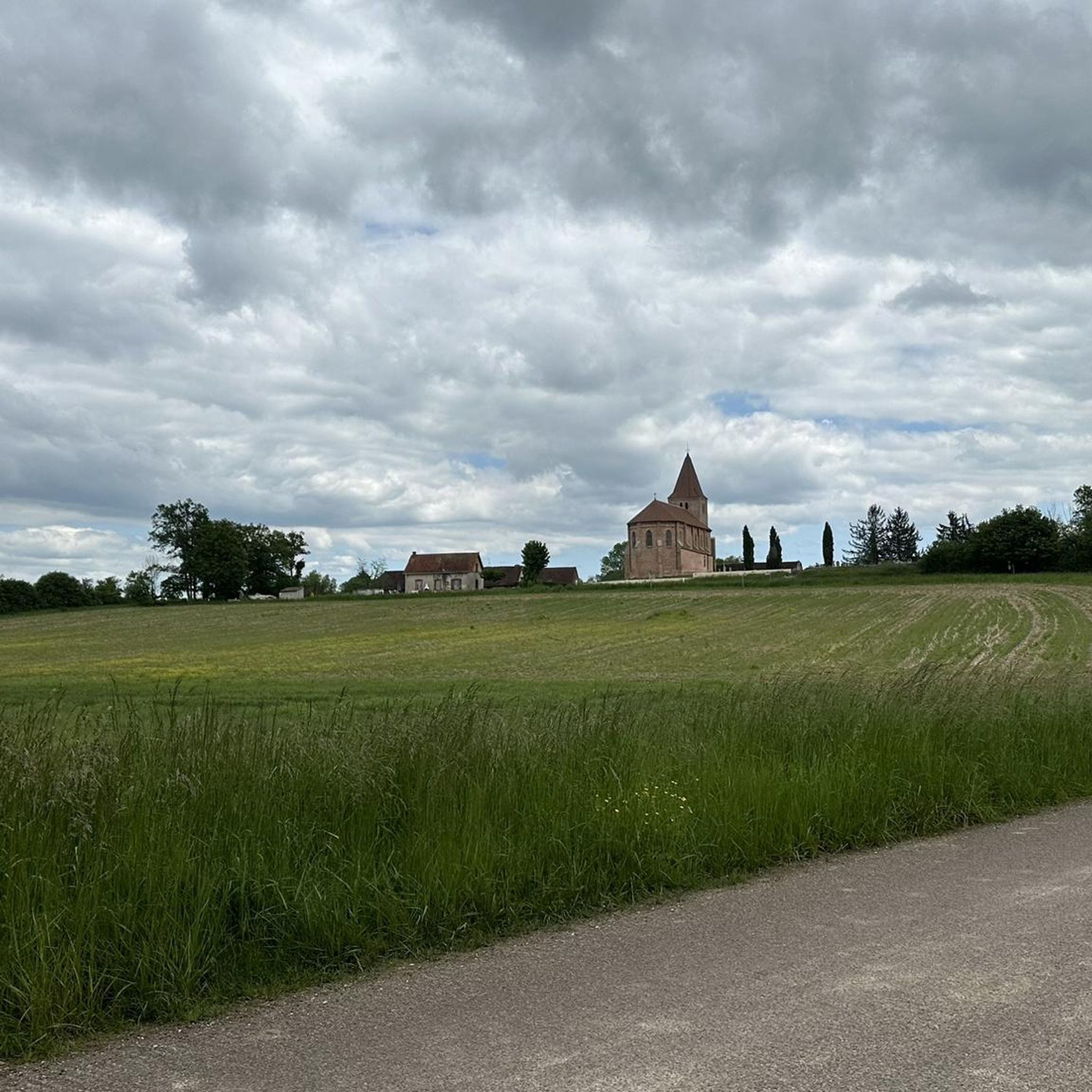
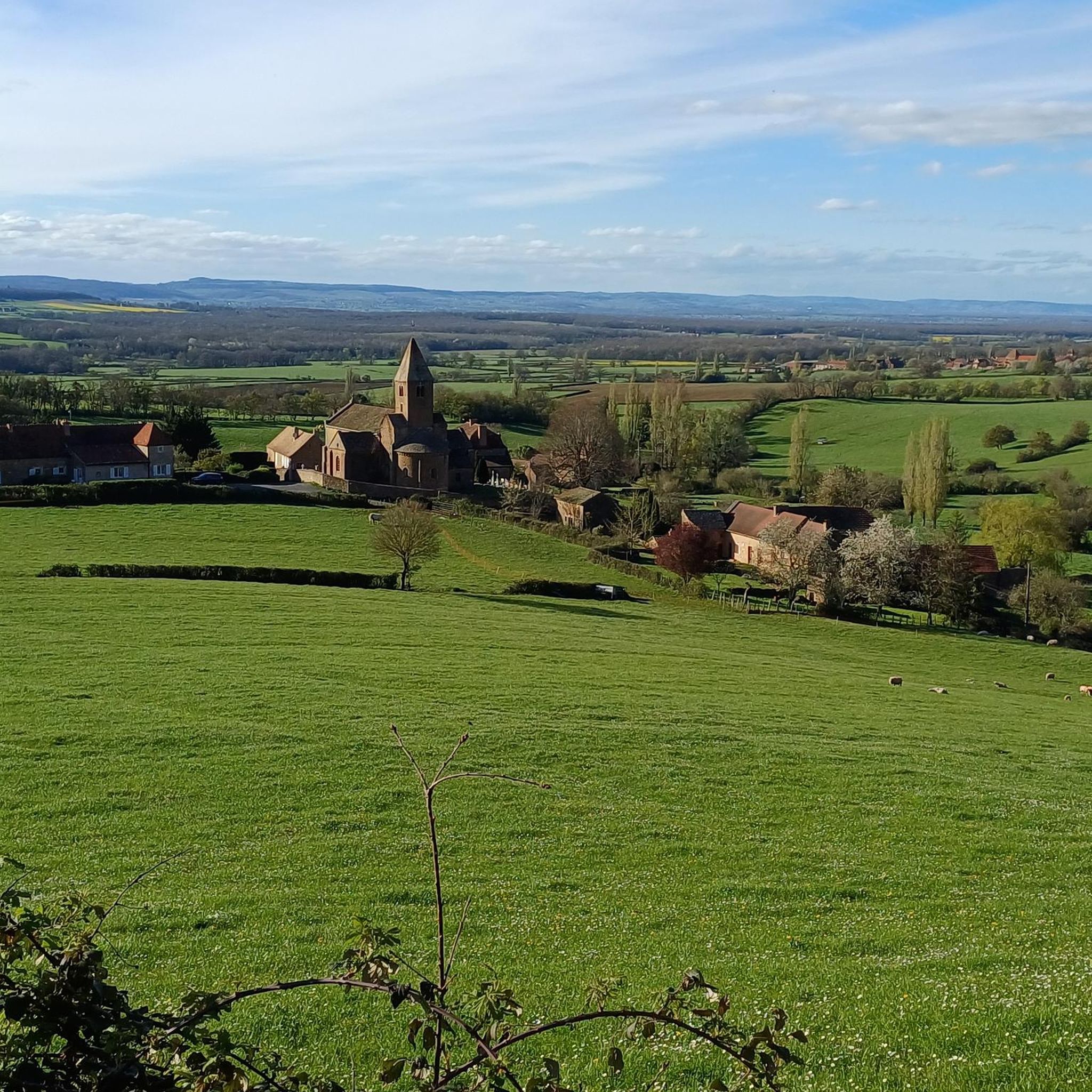
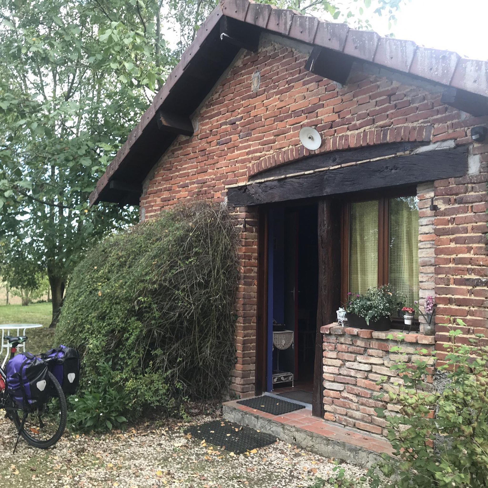

Tips from the Community

Nice spot on the banks of the Seille, point for observing birds and their footprints.
0
0
Frequently Asked Questions
How many hiking trails are available around Ménetreuil?
There are over 90 hiking trails around Ménetreuil, offering a wide variety of options for different skill levels and preferences. The region's gentle, undulating terrain, agricultural fields, and riverine landscapes provide diverse scenery for outdoor activities.
Are there easy hiking trails suitable for beginners or families?
Yes, Ménetreuil is well-suited for beginners and families. Over 50 of the available routes are rated as easy. For example, the Banks of the Seille loop from Sornay is an easy 3.2-mile (5.2 km) path that follows the riverbanks, perfect for a relaxed outing.
Can I bring my dog on the hiking trails around Ménetreuil?
Most hiking trails in the Ménetreuil area are dog-friendly, especially those passing through rural landscapes and woodlands. It's generally recommended to keep your dog on a leash, particularly when passing through agricultural areas or near livestock, and to respect local regulations.
Are there many circular hiking routes in the region?
Yes, many of the hiking routes around Ménetreuil are circular, allowing you to start and end at the same point without needing to retrace your steps. An example is the Champ Pelière loop from La Chapelle-Thècle, a 5.0-mile (8.0 km) trail through agricultural land and small woods.
What interesting sights can I explore near the hiking trails?
The Ménetreuil area, part of the Bresse region, offers several points of interest. You can explore the charming town of Louhans with its famous arcades, including the Grande Rue Arcades. The Domaine des Druides is also a notable forest area to discover.
What is the best time of year to go hiking around Ménetreuil?
The best time for hiking around Ménetreuil is typically from spring to autumn (April to October). During these months, the weather is generally pleasant, and the natural landscapes are vibrant. Spring brings blooming flora, while autumn offers beautiful colors and comfortable temperatures.
What are the winter hiking conditions like in Ménetreuil?
Winter hiking in Ménetreuil is generally possible as the terrain is gentle and elevations are low. However, trails can become muddy and wet, especially after rain or during thaws. While heavy snowfall is rare, it's advisable to check local weather conditions and wear appropriate waterproof footwear.
Are there any challenging hikes for experienced hikers?
While the Ménetreuil area is known for its gentle terrain, there is at least one route classified as difficult for those seeking a greater challenge. The majority of trails are easy to moderate, focusing on scenic enjoyment rather than strenuous climbs.
What do other hikers enjoy about the trails around Ménetreuil?
The hiking trails around Ménetreuil are highly rated by the komoot community, with an average score of 4.2 stars from over 50 reviews. Hikers often praise the quiet rural settings, the varied scenery of woodlands and riverbanks, and the accessibility of routes for different abilities.
Are there hikes that follow riverbanks or water features?
Yes, the region is characterized by its riverine landscapes. Many trails follow the banks of rivers like the Seille. The Banks of the Seille loop from Sornay is a prime example, offering pleasant views along the water.
Is public transport available to access the trailheads?
Public transport options directly to specific trailheads in the rural Ménetreuil area may be limited. It is generally recommended to use a car to reach the starting points of most hikes. However, some routes might be accessible from nearby villages that have limited bus services.
Are there places to stop for refreshments along the trails?
While many trails pass through quiet rural settings, some routes may lead through or near small villages where you might find local cafes or bakeries. It's always a good idea to carry sufficient water and snacks, especially on longer hikes, as refreshment stops might not be frequent.
Most popular attractions around Ménetreuil

Get inspired with the komoot mobile app


Explore more
Browse the best Hikes in other regions.
