The best walks and hikes around Nellingen
4.6
(585)
2,259
hikers
92
hikes
Hiking trails around Nellingen traverse a diverse landscape characterized by rolling hills, verdant forests, and picturesque river valleys within the Swabian Alb. The region is situated on the Nellinger Hochfläche plateau, with elevations reaching up to 772 meters. Notable natural features include the Naturschutzgebiet Mönchsteig, a nature reserve preserving unique juniper heaths. This varied terrain offers a range of hiking experiences for different abilities.
Best hiking trails around Nellingen
- The most popular hiking route is Hirbacher Pond – Honnert Oak…
Last updated: October 9, 2026
4.8
(103)
295
hikers
8.26km
02:07
40m
40m
Moderate hike. Good fitness required. Easily-accessible paths. Suitable for all skill levels.
4.6
(49)
233
hikers
7.81km
02:01
40m
40m
Moderate hike. Good fitness required. Easily-accessible paths. Suitable for all skill levels.

4.8
(5)
18
hikers
10.9km
02:53
100m
100m
Moderate hike. Good fitness required. Easily-accessible paths. Suitable for all skill levels.
4.0
(1)
17
hikers
9.01km
02:21
60m
60m
Moderate hike. Good fitness required. Easily-accessible paths. Suitable for all skill levels.
4.8
(5)
16
hikers
13.0km
03:26
120m
120m
Moderate hike. Good fitness required. Easily-accessible paths. Suitable for all skill levels.
Get access to more routes and recommendations from other explorers.
Already have an account?
Our route recommendations are based on thousands of hikes, rides, and runs completed by other people on komoot.
Start today with a free account
Your next adventure awaits.

Tips from the Community

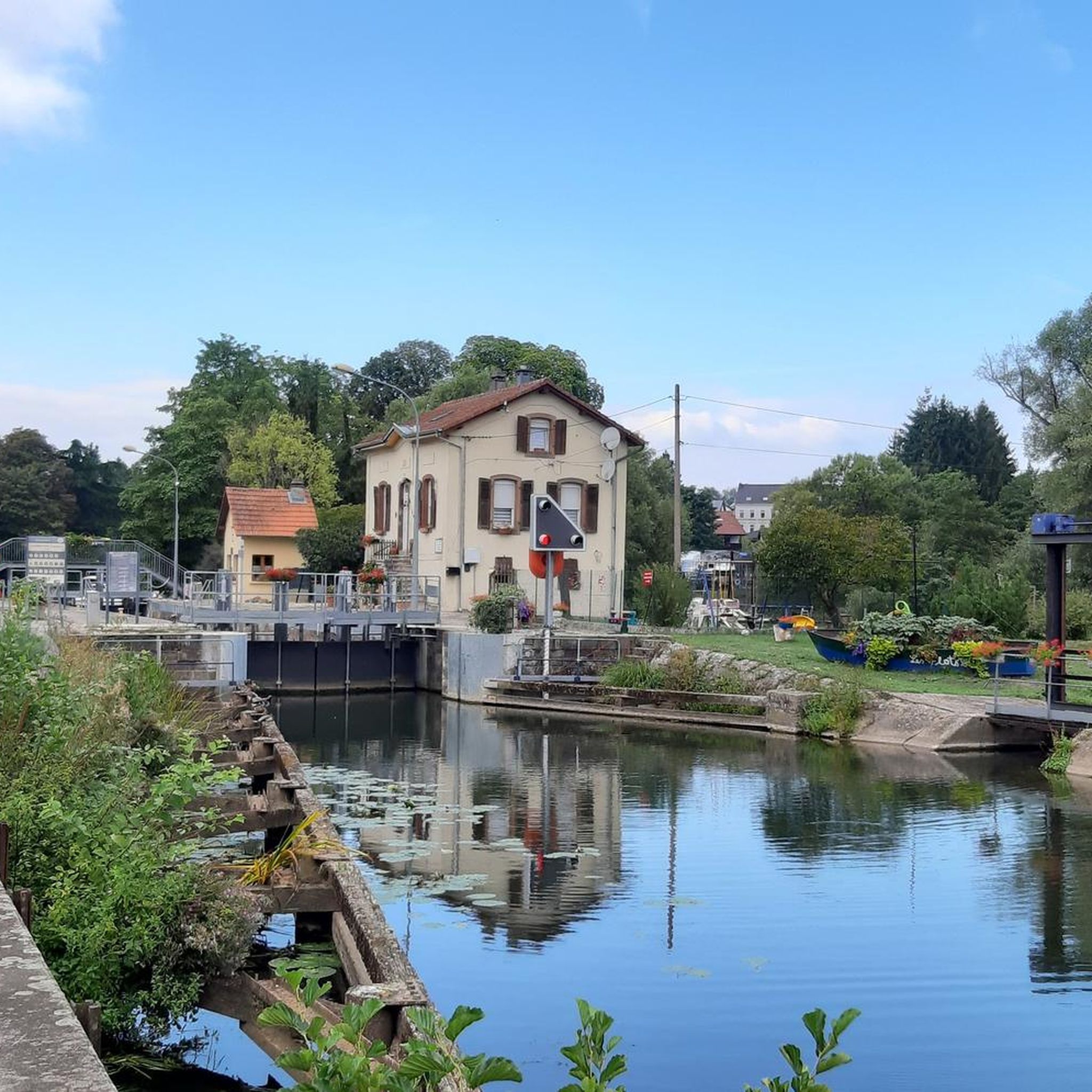
The Marais de Rémering-lès-Puttelange pond is renowned for its natural setting and attracts visitors year-round. This pond is part of the "Aquatic Maginot Line," a defensive flooding system consisting of six ponds, from Hoste to Holving, created in 1934. In just a few years, this military pond has been transformed into a recreational area.
0
0

Hirbach Pond blends history and nature. A remnant of the former aquatic Maginot Line, it is now a popular spot for outdoor recreation. Its municipal campsite, open from April to October, offers an ideal setting for a waterfront stay.
1
0

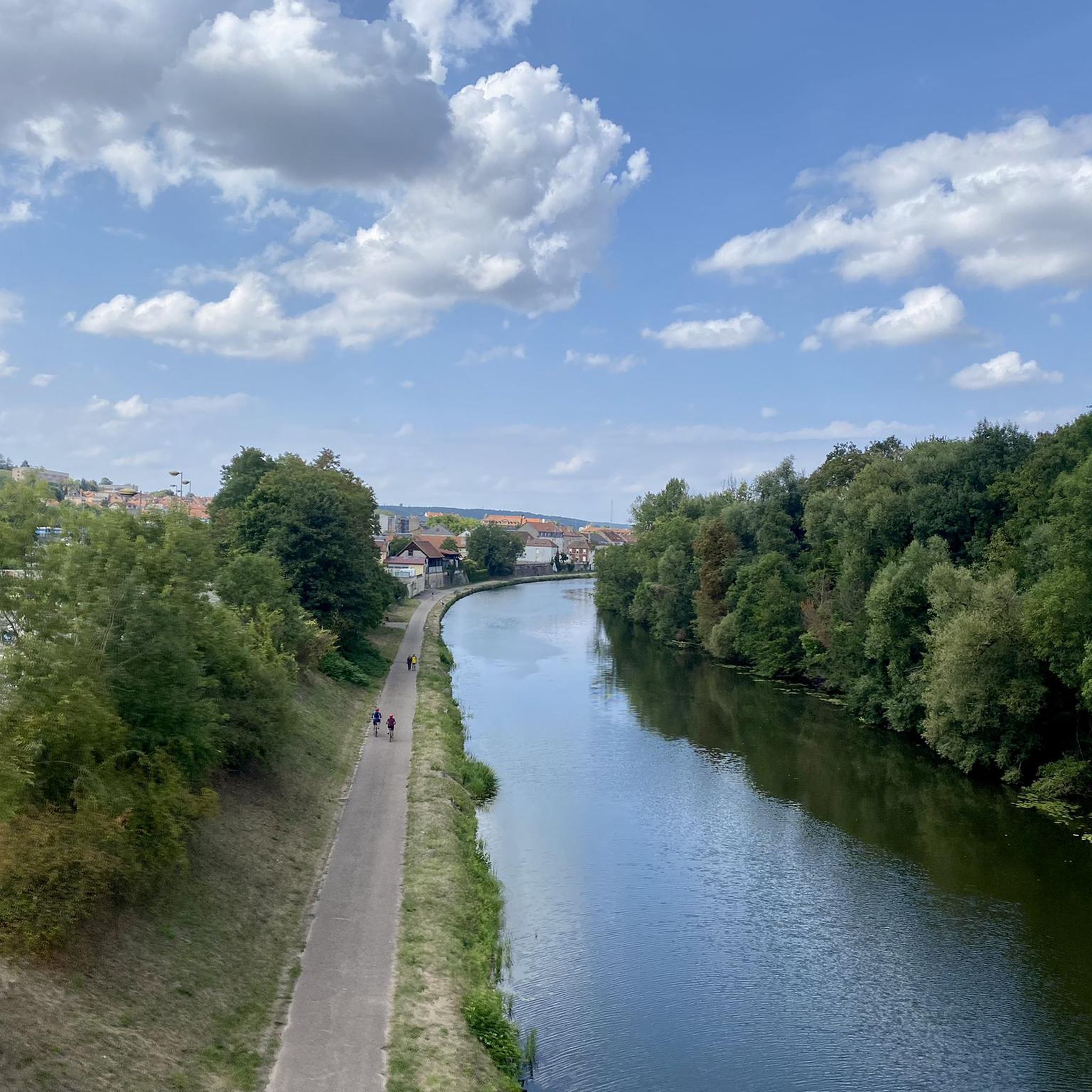
Beautiful hike combining villages, forests and ponds on mostly tarmacked or gravel paths.
0
0

Beautiful little metal figures along the roadside.
1
0


The beauty and strength of nature
0
0

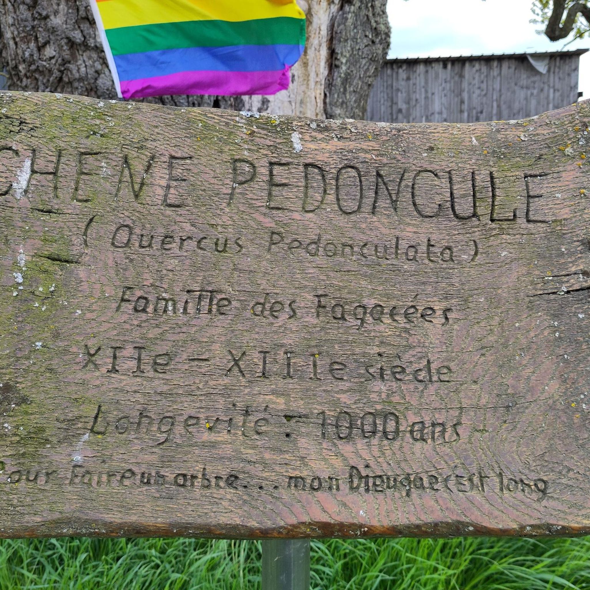
"This pedunculate oak was named after Joseph Ehrlich, who loves the forest, where he has been working for more than 40 years. In 1993, the oak had a height of 26m and a circumference of 333cm. Age was estimated at 250 years in 1993. "
0
0
Frequently Asked Questions
What is the typical terrain and difficulty of hikes in Nellingen?
Hiking around Nellingen primarily features rolling hills, verdant forests, and picturesque river valleys. The region is situated on the Nellinger Hochfläche plateau, with elevations reaching up to 772 meters. You'll find a good mix of trails: out of 88 available routes, 40 are considered easy, 44 are moderate, and 4 are more difficult, offering options for various fitness levels.
Are there any notable natural features or viewpoints to discover while hiking?
Yes, Nellingen is rich in natural beauty. A significant highlight is the approximately 50-hectare Naturschutzgebiet Mönchsteig (Mönchsteig Nature Reserve) near Aichen, known for its unique 'Wacholderheiden' (juniper heaths). The region is also traversed by the European Watershed, and the Nellinger Hochfläche itself offers scenic views.
What attractions can I find near the hiking trails in Nellingen?
Several interesting attractions are located near the hiking routes. You can explore natural spots like Lower Hoste Pond and Welschhof Pond. For cultural interest, consider visiting the Bonne Fontaine Chapel and Spring of Hoste or the Saint-Hubert Forest House.
When is the best time of year to go hiking in Nellingen?
The best seasons for hiking in Nellingen are typically spring and autumn. During these times, the natural surroundings are vibrant with colorful flowers or rich foliage, and temperatures are generally pleasant. While summer hiking is possible, higher temperatures can make some routes more strenuous.
Are there family-friendly hiking options in Nellingen?
Yes, Nellingen offers numerous hiking opportunities suitable for all ages and fitness levels. Many of the well-developed trails cater to families, with some routes even featuring child-friendly adventure stations. The region's diverse landscape provides plenty of engaging experiences for younger hikers.
Are there any circular hiking routes available in Nellingen?
Many of the trails in Nellingen are designed as circular routes, allowing you to start and end at the same point. For example, the Hirbacher Pond – Honnert Oak Tree loop from Hilsprich is a popular moderate option, and the Orientation Table Viewpoint loop from Montdidier also offers a scenic circular experience.
What do other hikers enjoy most about hiking in Nellingen?
The hiking trails in Nellingen are highly rated by the komoot community, with an average score of 4.6 stars from over 450 reviews. Hikers often praise the diverse landscape, including rolling hills, dense forests, and unique juniper heaths, as well as the variety of routes suitable for different abilities.
Is public transport available to reach hiking trails in Nellingen?
While specific public transport connections directly to trailheads are not detailed, Nellingen is an accessible community. It's advisable to check local bus schedules or regional transport options to plan your journey to the starting points of the trails.
Are there any easy hikes suitable for beginners in Nellingen?
Absolutely. Nellingen has 40 easy hiking routes, perfect for beginners or those looking for a relaxed walk. An excellent choice is the Fishing spots at the pond – Marsh Pond loop from Hilsprich, which is 4.8 miles long and explores marshy areas and local ponds.
How long do hikes in Nellingen typically take?
Hike durations in Nellingen vary depending on the route and your pace. For instance, the Farms loop from Le Val-de-Guéblange is about 9 km and takes around 2 hours 20 minutes. Longer routes like the Metal art – Orientation Table Viewpoint loop from Léning, at nearly 13 km, might take over 3 hours.
Are there any specific trails that offer unique cultural or historical insights?
While the guide focuses on natural trails, the broader region around Nellingen offers cultural-scenic hikes that can lead to historic sites like Mochental Castle or Lichtenstein Castle. Within Nellingen, the local Schwäbischer Albverein maintains routes, including parts of a forest nature trail, which often incorporate local history or ecological information.
Most popular routes around Nellingen
Most popular attractions around Nellingen

Get inspired with the komoot mobile app


Explore more
Browse the best Hikes in other regions.
