The best cycling routes around La Godivelle
4.5
(28)
350
riders
13
rides
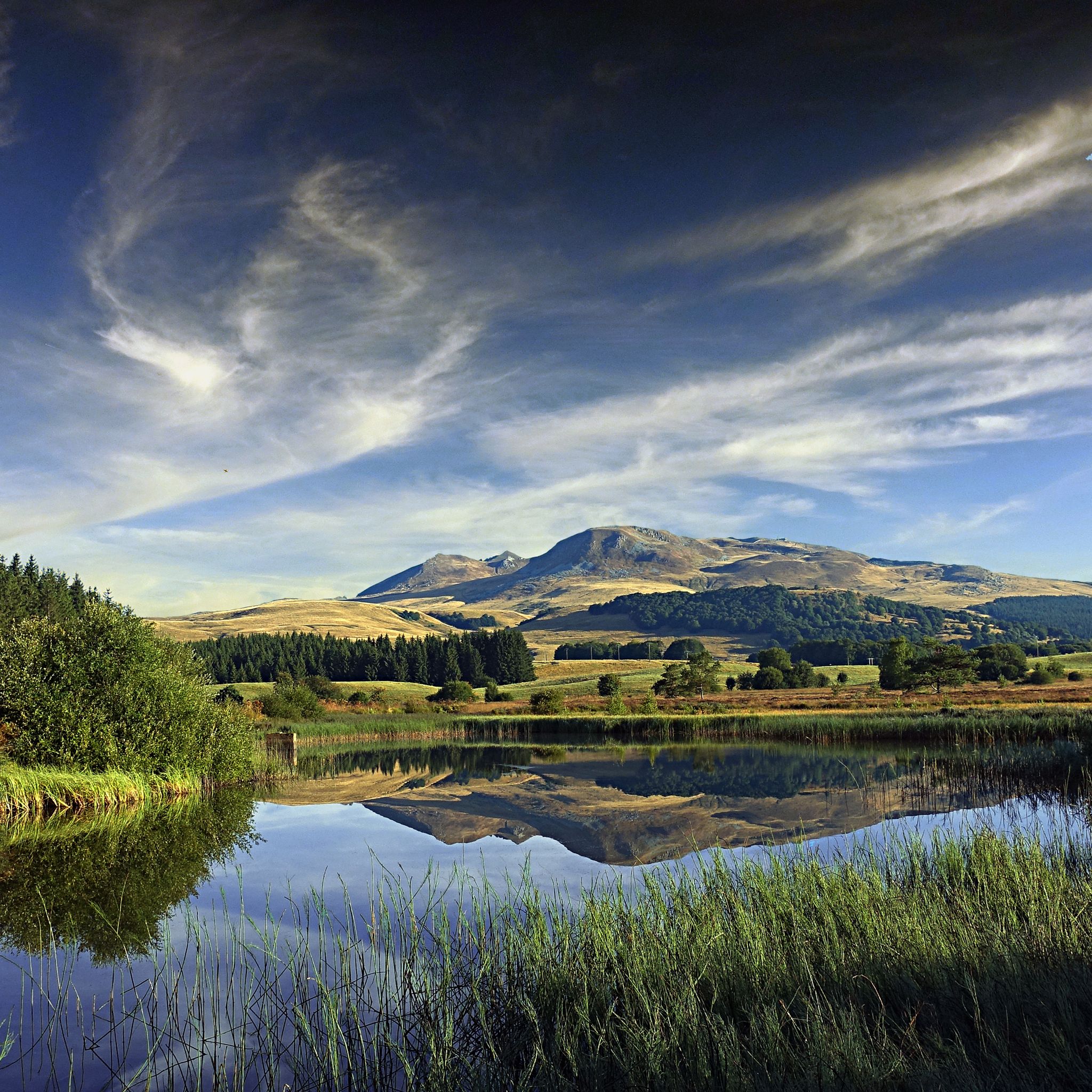
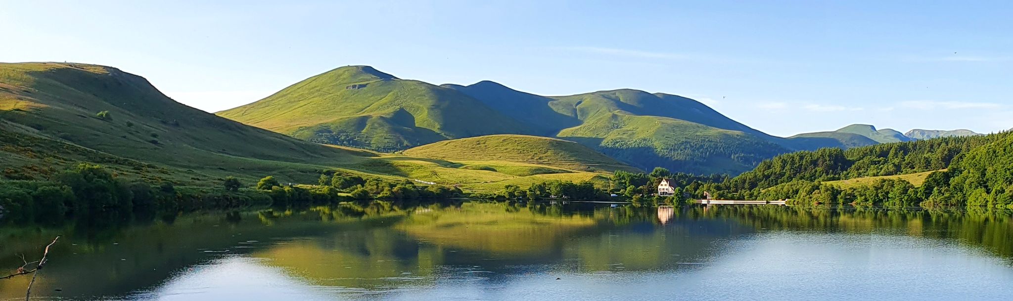
Touring cycling routes around La Godivelle are situated within the Auvergne Volcanoes Regional Natural Park and the Cézallier massif, characterized by a medium-mountain relief. The region features diverse volcanic landscapes, including dormant volcanoes, crater lakes, and glacial valleys. Cyclists encounter varied terrain with challenging ascents to volcanic peaks and descents through valleys and forests. The area also includes significant natural features such as the distinct Lac d'en-Haut (Upper Lake) and Lac d'en-Bas (Lower Lake), alongside expansive peat bogs.
Best touring…
Last updated: August 23, 2026
40
riders
98.5km
07:48
1,870m
1,870m
Hard bike ride. Very good fitness required. You may need to push your bike for some segments of this route.
5.0
(1)
2
riders
23.4km
01:33
340m
340m
Moderate bike ride. Good fitness required. Mostly paved surfaces. Suitable for all skill levels.

Sign up for free
3.0
(1)
5
riders
63.6km
04:22
1,150m
1,150m
Hard bike ride. Very good fitness required. Mostly paved surfaces. Suitable for all skill levels.
5.0
(1)
9
riders
34.2km
02:20
600m
600m
Hard bike ride. Very good fitness required. Mostly paved surfaces. Suitable for all skill levels.
Get access to more routes and recommendations from other explorers.
Sign up for free
Already have an account?
Our route recommendations are based on thousands of hikes, rides, and runs completed by other people on komoot.
Start today with a free account
Your next adventure awaits.
Login or Signup


Tips from the Community

very pretty pass typical of Cezallier
1
0

Not too difficult, I did it on a mountain bike.
0
0


Too bad that the only refreshment point reported nearby is closed
0
0

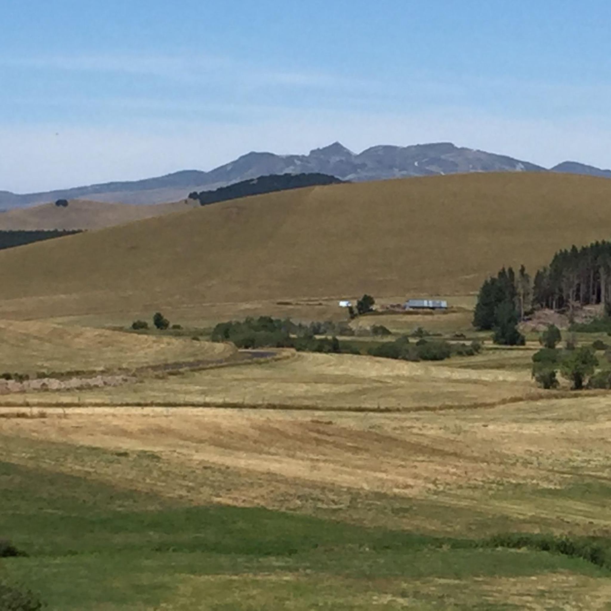
Rather rolling gravel track (there is a small part of bitumen in the middle) which offers a magnificent panorama of the summer pastures with the Monts du Cantal on the horizon. Access from the col de chamaroux is a little more technical in gravel but it is quite playable. The reward at the top is a postcard landscape!
0
0

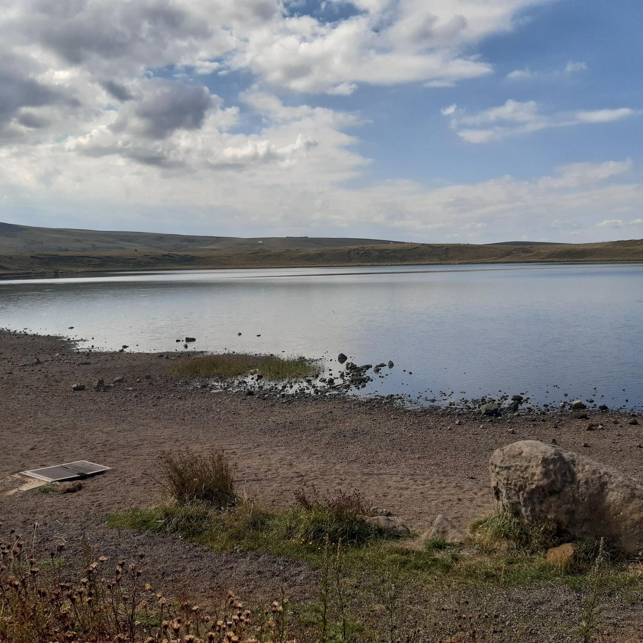
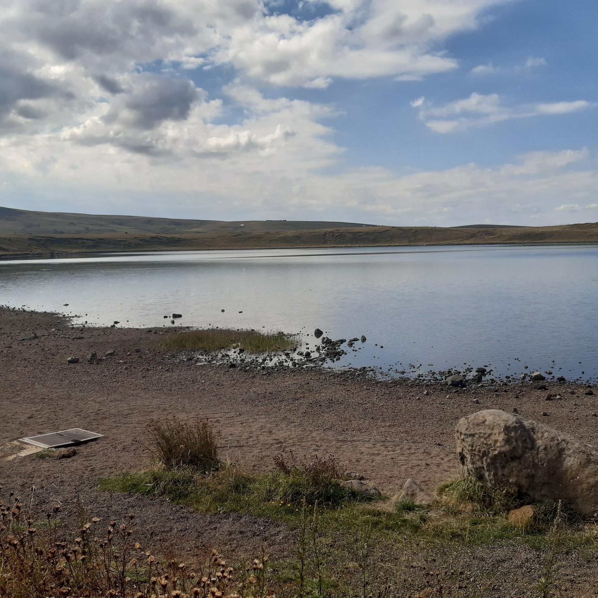
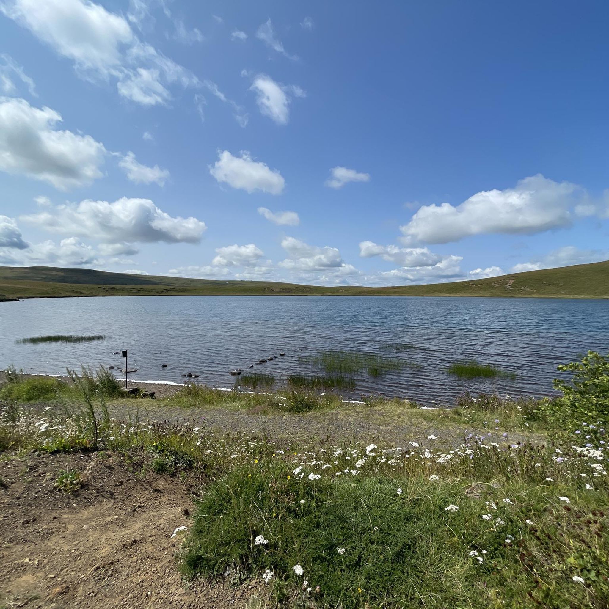
Crater lake at 1225m altitude
0
0
Frequently Asked Questions
How many touring cycling routes are available around La Godivelle?
There are over 40 touring cycling routes around La Godivelle, offering a wide range of options for exploring the region. These routes are situated within the Auvergne Volcanoes Regional Natural Park and the Cézallier massif.
What is the best time of year to go touring cycling in La Godivelle?
The best time to cycle in La Godivelle is generally from late spring through early autumn (May to October). During these months, the weather is more favorable, and the natural landscapes, including the volcanic formations and peat bogs, are at their most accessible and scenic. The region can experience significant elevation gains, so milder temperatures are preferable.
Are there any easy touring cycling routes for beginners or families?
While many routes in La Godivelle are challenging, there are a few easier options. The region offers 2 easy and 10 moderate routes, alongside 29 difficult ones. For families or beginners, it's advisable to look for routes with less elevation gain and shorter distances. Always check the route details on komoot for specific difficulty ratings and terrain information.
What kind of terrain can I expect on touring cycling routes in La Godivelle?
The terrain around La Godivelle is diverse, characterized by a medium-mountain relief. You'll encounter varied volcanic landscapes, including challenging ascents to volcanic peaks and swift descents through valleys and forests. Many routes also feature quiet country lanes across the open Cézallier Plateau, offering panoramic views.
What are some notable natural attractions I can see while cycling?
The region is rich in natural beauty. You can cycle past the unique Lake Pavin, a deep crater lake, or the glacial Lac Chauvet. The area also features the distinct Lac d'en-Haut (Upper Lake) and Lac d'en-Bas (Lower Lake) near La Godivelle village, and the Sagnes de La Godivelle National Nature Reserve with its protected peat bogs.
Are there any circular touring cycling routes around La Godivelle?
Yes, many touring cycling routes in La Godivelle are designed as loops, allowing you to start and finish in the same location. For example, the difficult Lake Montcineyre – La Godivelle loop from Le Fraud covers 95.1 km, offering extensive views. Another option is the Col de Chamaroux – La Godivelle loop from Boutaresse, a 42.7 km route with panoramic views.
What do other touring cyclists say about the routes in La Godivelle?
The touring cycling routes in La Godivelle are highly rated by the komoot community, with an average score of 4.6 stars from over 15 reviews. Cyclists often praise the diverse volcanic landscapes, the challenging ascents, and the quiet country lanes that offer stunning panoramic views of the surrounding massifs.
Can I find places to stop for refreshments or food along the routes?
While La Godivelle itself is a small village, routes often pass through or near other villages and towns where you can find cafes, restaurants, or small shops. It's always a good idea to plan your route and check for available services beforehand, especially on longer or more remote sections of the Cézallier Plateau.
Are there any significant viewpoints or mountain passes to include in a touring cycling trip?
Absolutely. The region is known for its scenic viewpoints and mountain passes. You can incorporate passes like Col de Chamaroux or Col de Montgreleix (1238 m) into your ride. For breathtaking vistas, seek out highlights such as the View of Mont Chamaroux and the Cézallier mountains.
What is the longest touring cycling route available from La Godivelle?
One of the longest routes is the difficult La Godivelle – Besse loop from La Godivelle, which spans over 105 km and involves significant elevation gain. This route offers an extensive exploration of the region's diverse landscapes.
Are there any cultural or historical points of interest in La Godivelle village?
Despite being the least populated and highest village in Puy-de-Dôme, La Godivelle retains its charm. You can visit its beautiful Romanesque church and see the largest fountain in the department, historically used for watering cattle. The village also hosts the Godiv'Art Festival from late June to late September, featuring contemporary art installations.
What is the 'Upper Lake of La Godivelle' and can I cycle around it?
The Lac d'en-Haut (Upper Lake) is a deep (44-meter) crater lake of volcanic origin, fed solely by rainwater and snow. It's a unique natural feature. You can cycle around this area on routes like the Upper Lake of La Godivelle – La Godivelle loop from Espinchal, a 28.2 km trail that leads through the unique volcanic landscape surrounding the lake.
Most popular routes around La Godivelle
Most popular attractions around La Godivelle

Get inspired with the komoot mobile app


Explore more
Browse the best Cycling routes in other regions.
