The best mountain hikes around Savièse
5.0
(7)
81
hikers
10
hikes
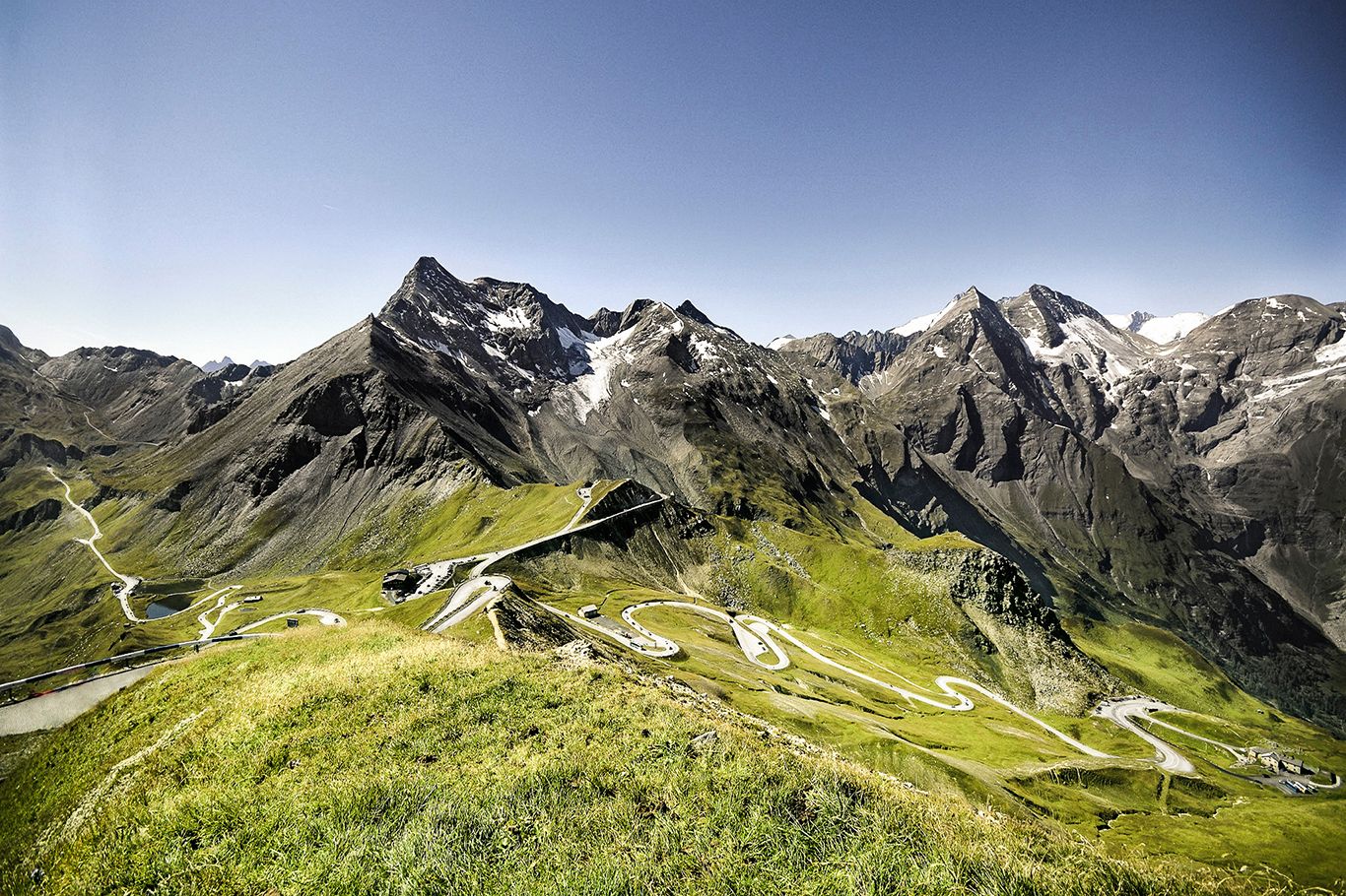
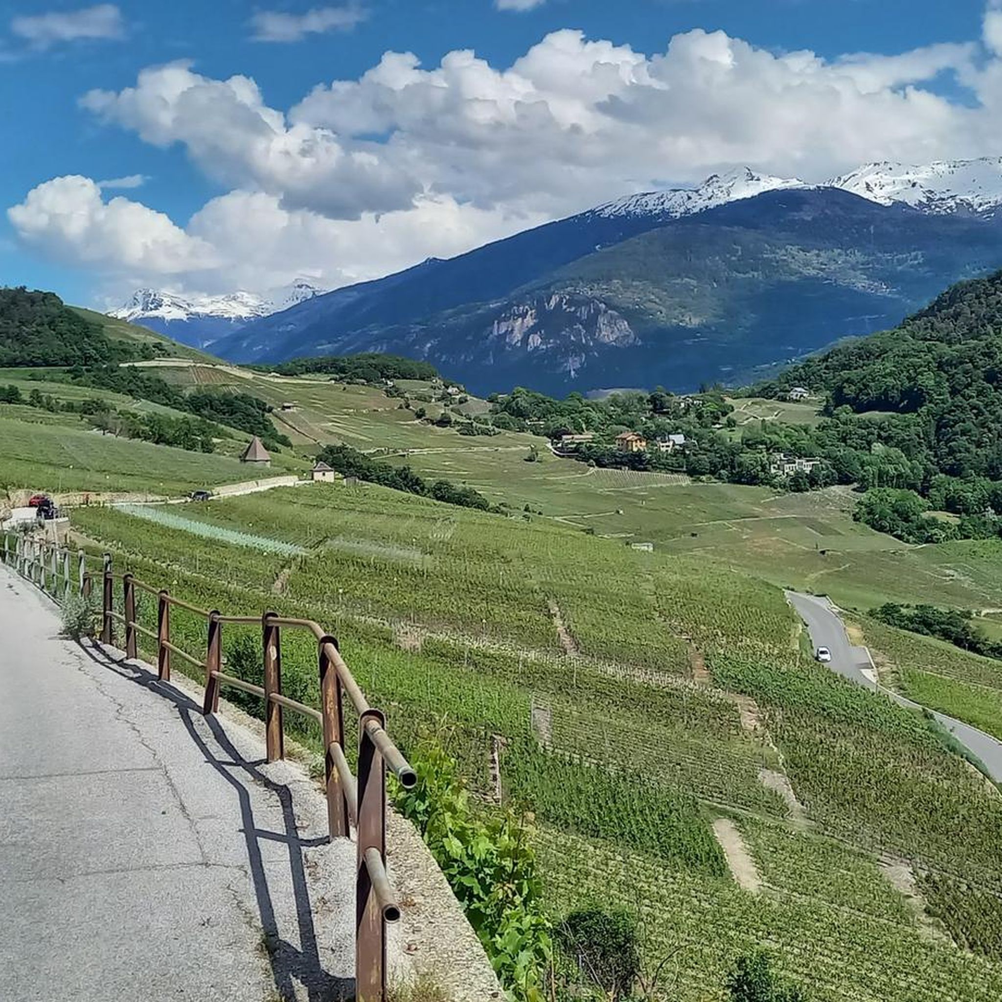
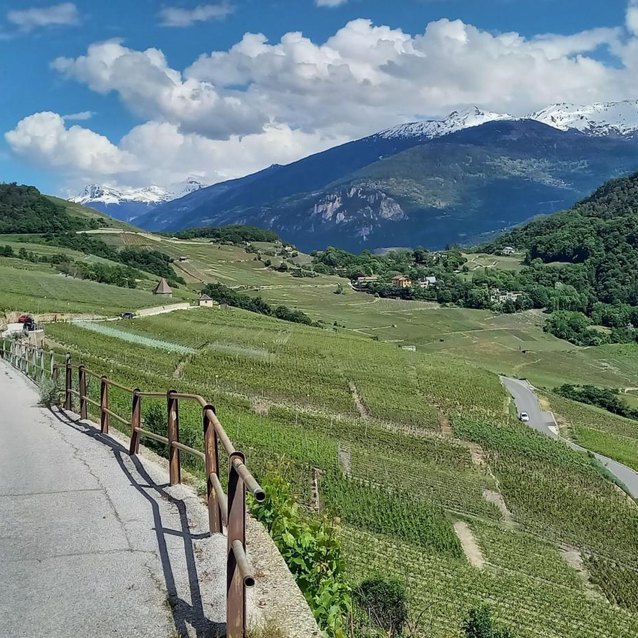
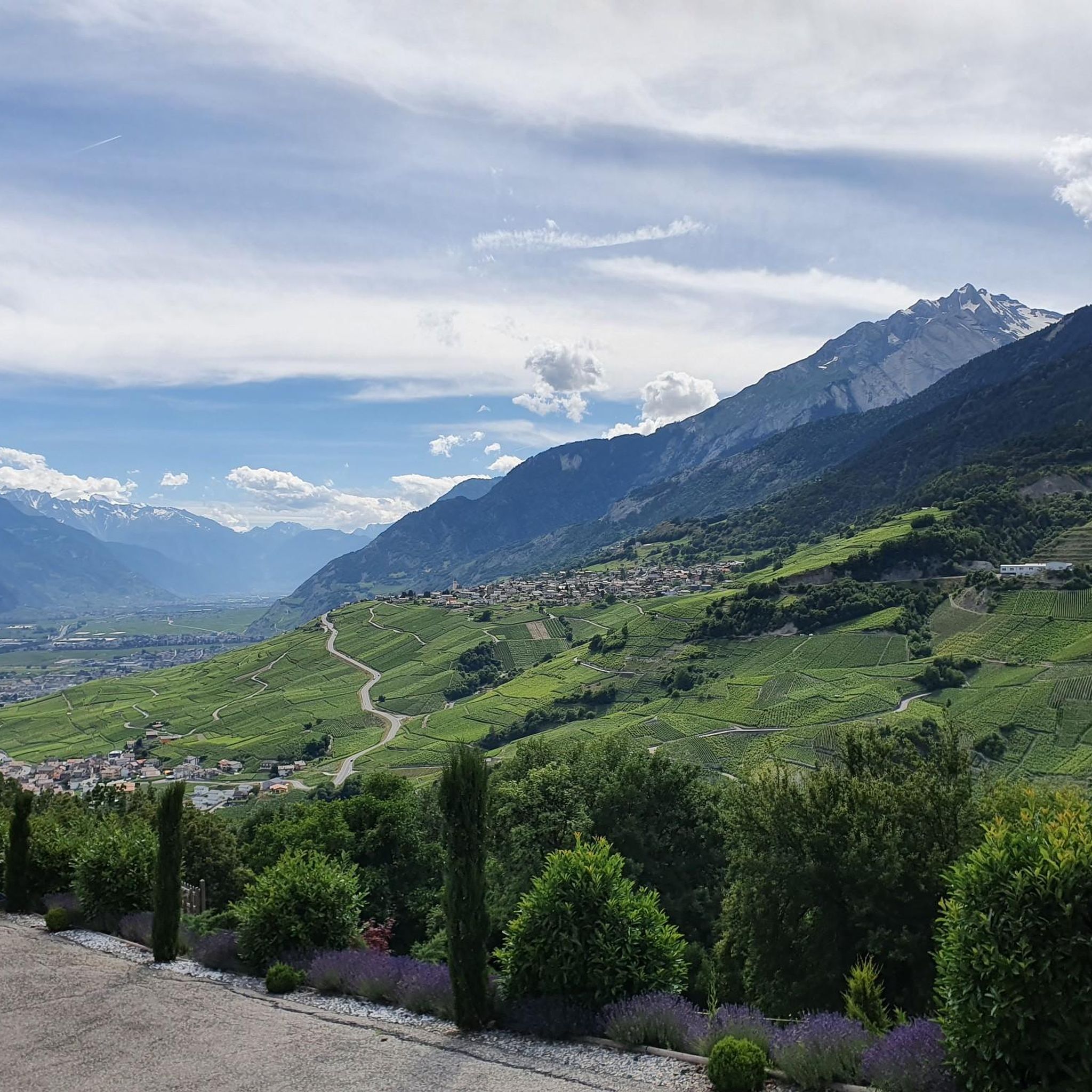
Mountaineering routes around Savièse offer diverse terrain across the sun-drenched plateau above Sion in the Swiss canton of Valais. The region is characterized by panoramic views over the Rhône Valley and the majestic Valais Alps, including vistas of the Mont Blanc massif. Significant natural features like the Sanetsch Pass provide access to high mountain meadows and glacial landscapes, while the unique karst topography of Zanfleuron adds to the geological allure. Mountaineers can explore strenuous alpine routes through varying environments, from…
Last updated: June 27, 2026
5.0
(2)
9
hikers
8.26km
03:40
660m
660m
Moderate mountaineering route. Good fitness required. Mostly accessible paths. Sure-footedness required.
5.0
(1)
11
hikers
1.50km
01:18
180m
180m
Hard mountaineering route. Great for any fitness level. Sure-footedness, sturdy shoes and alpine experience required.

Sign up for free
7
hikers
7.02km
04:38
730m
730m
Hard mountaineering route. Good fitness required. Sure-footedness, sturdy shoes and alpine experience required.
5
hikers
11.5km
03:40
360m
360m
Moderate mountaineering route. Good fitness required. Mostly accessible paths. Sure-footedness required.
4
hikers
7.54km
04:24
730m
730m
Hard mountaineering route. Good fitness required. Sure-footedness, sturdy shoes and alpine experience required.
Get access to more routes and recommendations from other explorers.
Sign up for free
Already have an account?
Our route recommendations are based on thousands of hikes, rides, and runs completed by other people on komoot.
Start today with a free account
Your next adventure awaits.
Login or Signup


Tips from the Community

Superb climb from Sion, about 1800 m. 2 alternatives, but for gravel I recommend through the villages on the right bank of the Morge.
0
0

Charming inn nestled in the Solalex mountain pasture, with a direct view of the Miroir d'Argentine mountain wall. Enjoy hearty mountain cuisine in a warm, rustic setting. Perfect for a gourmet break after a hike. Accessible on foot, by mountain bike, or by shuttle bus in summer.
0
0
Lac de Bretaye is a peaceful high-altitude lake nestled at 1,800 meters in the Vaud Alps. Surrounded by meadows and gentle peaks, it's an ideal spot for a quiet break, a picnic, or simply admiring the scenery. Easily accessible from Villars-sur-Ollon on foot or by cogwheel train, it offers a beautiful interlude in the heart of the mountains.
0
0

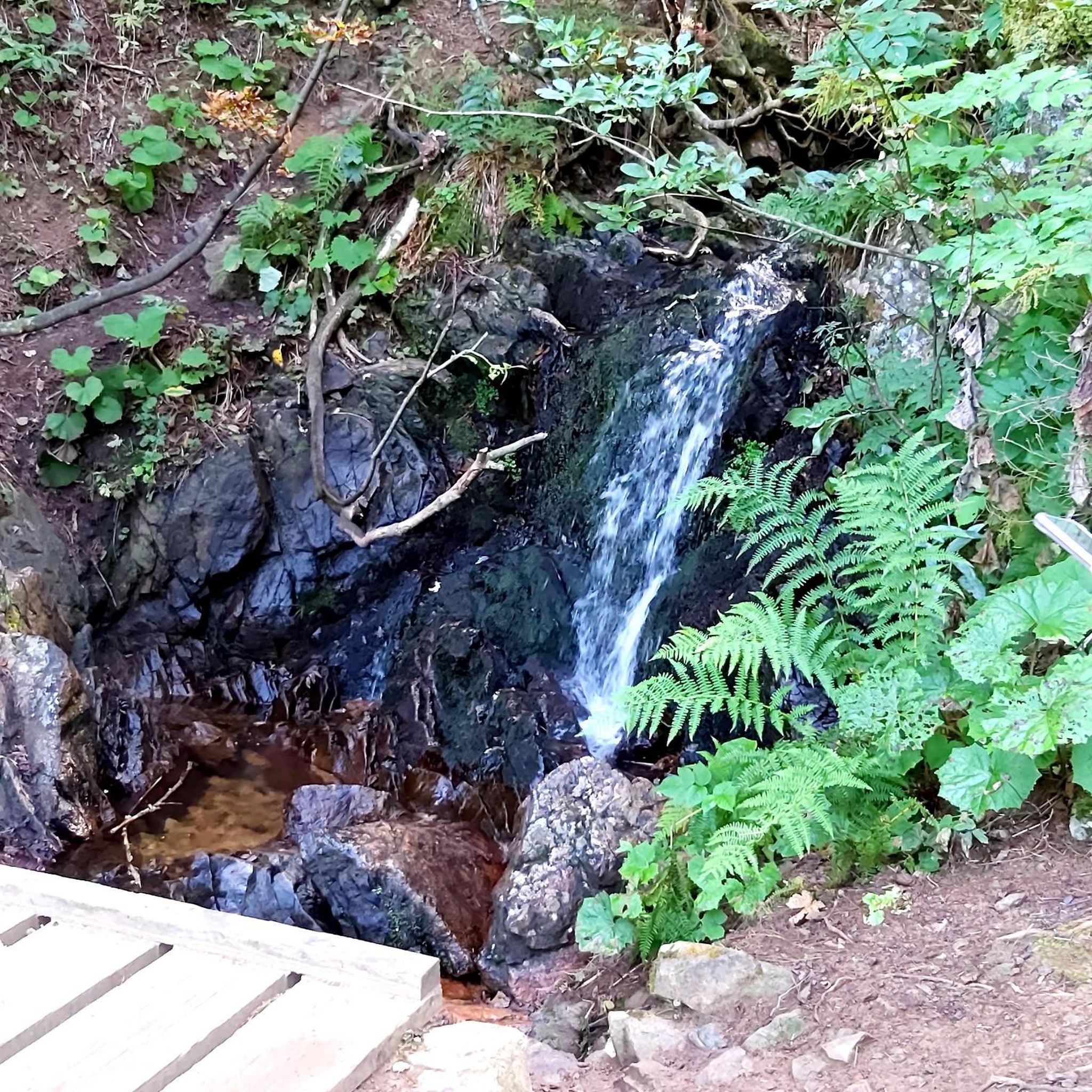
The hike from Lauenensee to the Geltenhütte SAC is a fantastic mountain hike with waterfalls, alpine scenery, and spectacular scenery ⛰️💧🌿. Route: Starts at the Lauenensee parking lot (CHF 15). The trail initially leads leisurely along the lake, then steadily ascends through the Gelten and Lauibach valleys. Impressive waterfalls and rock faces abound. You reach the Geltenhütte (2,002 m) after about 2.5 to 3 hours (approx. 620 m elevation gain). Highlights: ✅ Idyllic Lauenensee right at the start ✅ Wild waterfalls ✅ Quiet, well-marked mountain trail ✅ Refreshments & overnight stay at the Geltenhütte SAC 🛏️🍲 ✅ Possibility of extending the hike, e.g. B. to the Arpelistock Equipment: Sturdy hiking boots 🥾, weather protection 🧥, plenty of water & snacks 💧🥪, and possibly walking poles 🦯. In early summer, there may be patches of snow – surefootedness is required. Recommendation: Set off early in the morning ⏰, especially on warm days – the trail is exposed to the sun.
1
1

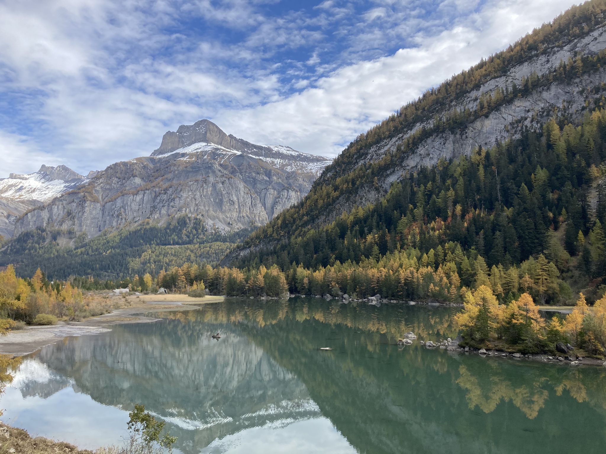
Visit Lac des Chavonnes for a quiet alpine getaway, where you’ll find a crystal-clear lake surrounded by dense forest and mountain peaks. Located approximately 1,690 meters above sea level, this hidden lake offers hiking trails that wind through pine trees and lead to breathtaking viewpoints. Keep an eye out for local wildlife, including marmots and alpine birds, which add to the lake’s serene, natural beauty.
4
0


Attention: The last 100 mUp from Sanetsch are T4
0
0
Frequently Asked Questions
What types of mountaineering routes can I find around Savièse?
Savièse offers a diverse range of mountaineering routes, from moderate to difficult, catering to various skill levels. You'll find paths leading through high mountain meadows, unique rock formations, and impressive glacial landscapes, particularly around the Sanetsch Pass and the Valais Alps.
Are there any circular mountaineering routes in the Savièse area?
Yes, Savièse features several circular mountaineering routes. For example, the Arpelistock Summit (3,035 m) loop from Col du Sanetsch is a challenging 6.8 km route offering extensive views. Another option is the Geltenhütte SAC loop from Lauenensee, a moderate 8.3 km trail through glacial landscapes.
What are the difficulty levels of mountaineering routes in Savièse?
The mountaineering routes around Savièse are primarily categorized as moderate or difficult. There are 5 moderate routes and 8 difficult routes, providing options for both experienced mountaineers and those looking for a significant challenge.
What natural features or landmarks can I expect to see on these routes?
Mountaineering routes in Savièse offer breathtaking panoramic views over the Rhône Valley and the majestic Valais Alps, including vistas of the Mont Blanc massif. You'll encounter significant natural features like the Sanetsch Pass, high mountain meadows, and unique karst topography. Along the way, you might also pass notable mountain passes such as Col du Rawil (2,425 m) or Trütlisberg Pass.
Are there mountain huts or refuges along the mountaineering trails?
Yes, there are mountain huts and refuges in the vicinity of Savièse's mountaineering routes. These can provide a welcome stop or overnight accommodation. Examples include the Cabane de Prarochet and the Audannes Hut, which are popular among mountaineers.
What do other mountaineers say about the routes in Savièse?
The mountaineering routes in Savièse are highly rated by the komoot community, with an average score of 4.8 stars from more than 9 reviews. Mountaineers often praise the challenging terrain, the stunning panoramic views of the Valais Alps, and the diverse landscapes encountered on trails like the La Motte – Refuge Giacomini loop from Solalex.
What is the best time of year for mountaineering in Savièse?
The best time for mountaineering in Savièse is typically during the warmer months, from late spring to early autumn, when trails are generally free of snow and weather conditions are more stable. This allows for optimal exploration of the high mountain meadows and glacial landscapes. Always check local conditions before heading out.
Are there any routes suitable for families with older children or those new to mountaineering?
While many routes are challenging, some moderate options could be suitable for families with older, experienced children or those with good fitness levels looking to try mountaineering. The Lake Chavonnes – Chavonnes Lake loop from Col de la Croix is a moderate 11.6 km route that offers beautiful scenery without the extreme difficulty of some other trails.
Can I access the mountaineering trailheads using public transport?
Savièse is well-connected within the Valais region, and while specific trailheads may require a final bus connection or a short walk, public transport options are generally available to reach the broader area. It's advisable to check local bus schedules to plan your approach to specific starting points like Col du Sanetsch or Lauenensee.
Are there opportunities for multi-day mountaineering treks in the Savièse region?
Yes, the Savièse region serves as a gateway to more extensive alpine adventures. For experienced mountaineers, there are multi-day mountain routes, such as varied 4-day treks around the Wildhorn, which can include crossing peaks like the Arpelistock, offering a comprehensive exploration of the high Alps.
What kind of views can I expect on the mountaineering routes?
Mountaineering routes around Savièse consistently offer spectacular panoramic views. You'll be treated to sweeping vistas over the Rhône Valley, the majestic Valais Alps, and even distant glimpses of the Mont Blanc massif from certain vantage points like Chandolin. The high-altitude trails provide unparalleled perspectives of glacial environments and unique geological formations.
Most popular routes around Savièse
Most popular attractions around Savièse

Get inspired with the komoot mobile app


