The best mountain hikes around Vionnaz
4.6
(23)
162
hikers
25
hikes
Mountaineering routes Vionnaz offer diverse landscapes stretching from the Rhone Valley to the border of Haute-Savoie. The region is characterized by mountain forests, alpine meadows, and notable peaks such as La Tour de Don, Dent d'Oche, and Grammont Summit. These features provide varied terrain for mountaineering, including challenging ascents and scenic paths. Vionnaz serves as a gateway to the vast Portes du Soleil area, enhancing its appeal for mountain enthusiasts.
Best mountaineering routes around Vionnaz
- The most popular mountaineering route…
Last updated: June 27, 2026
4.6
(5)
20
hikers
6.97km
03:28
550m
550m
Moderate mountaineering route. Good fitness required. Mostly accessible paths. Sure-footedness required.
5.0
(2)
12
hikers
10.3km
05:28
940m
940m
Hard mountaineering route. Very good fitness required. Sure-footedness, sturdy shoes and alpine experience required.

Sign up for free
3.5
(4)
8
hikers
6.73km
03:10
540m
540m
Hard mountaineering route. Good fitness required. Sure-footedness, sturdy shoes and alpine experience required.
5.0
(1)
9
hikers
6.18km
02:28
440m
440m
Moderate mountaineering route. Good fitness required. Easily-accessible paths. Suitable for all skill levels.
6
hikers
6.86km
03:23
620m
620m
Moderate mountaineering route. Good fitness required. Mostly accessible paths. Sure-footedness required.
Get access to more routes and recommendations from other explorers.
Sign up for free
Already have an account?
Our route recommendations are based on thousands of hikes, rides, and runs completed by other people on komoot.
Start today with a free account
Your next adventure awaits.
Login or Signup
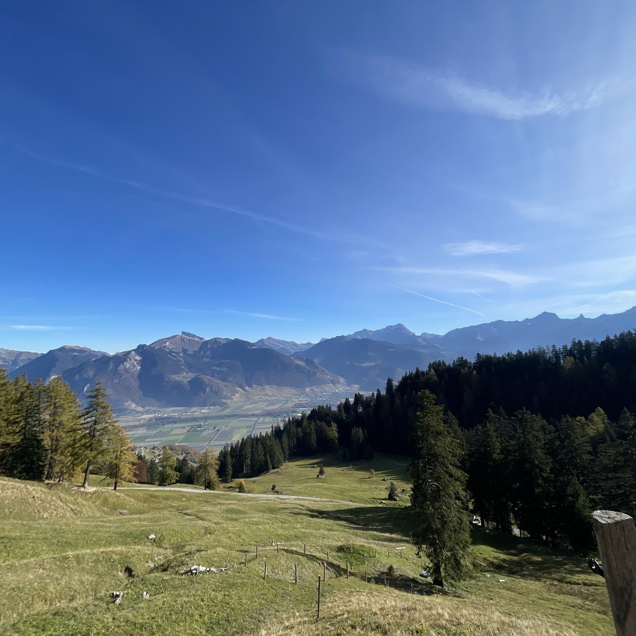
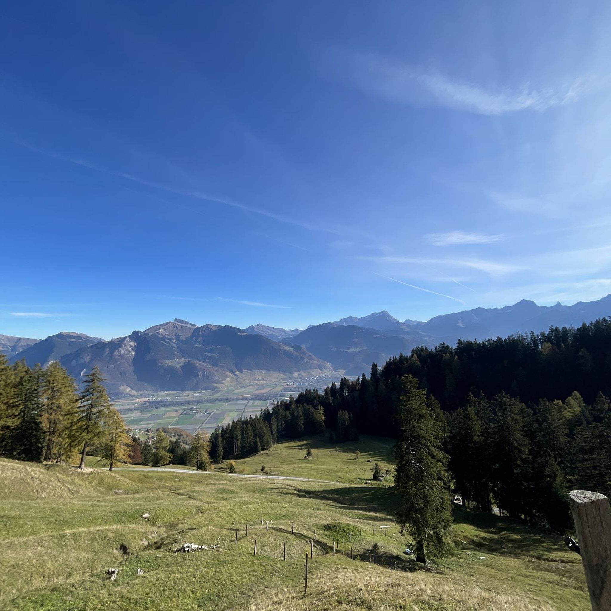
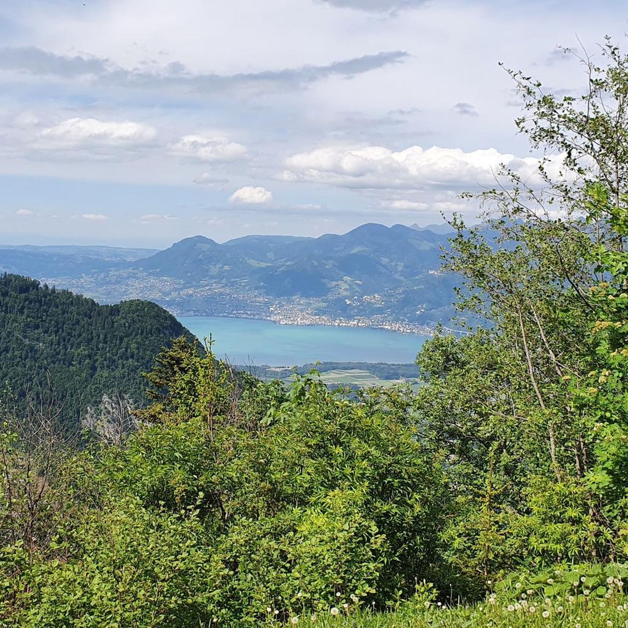
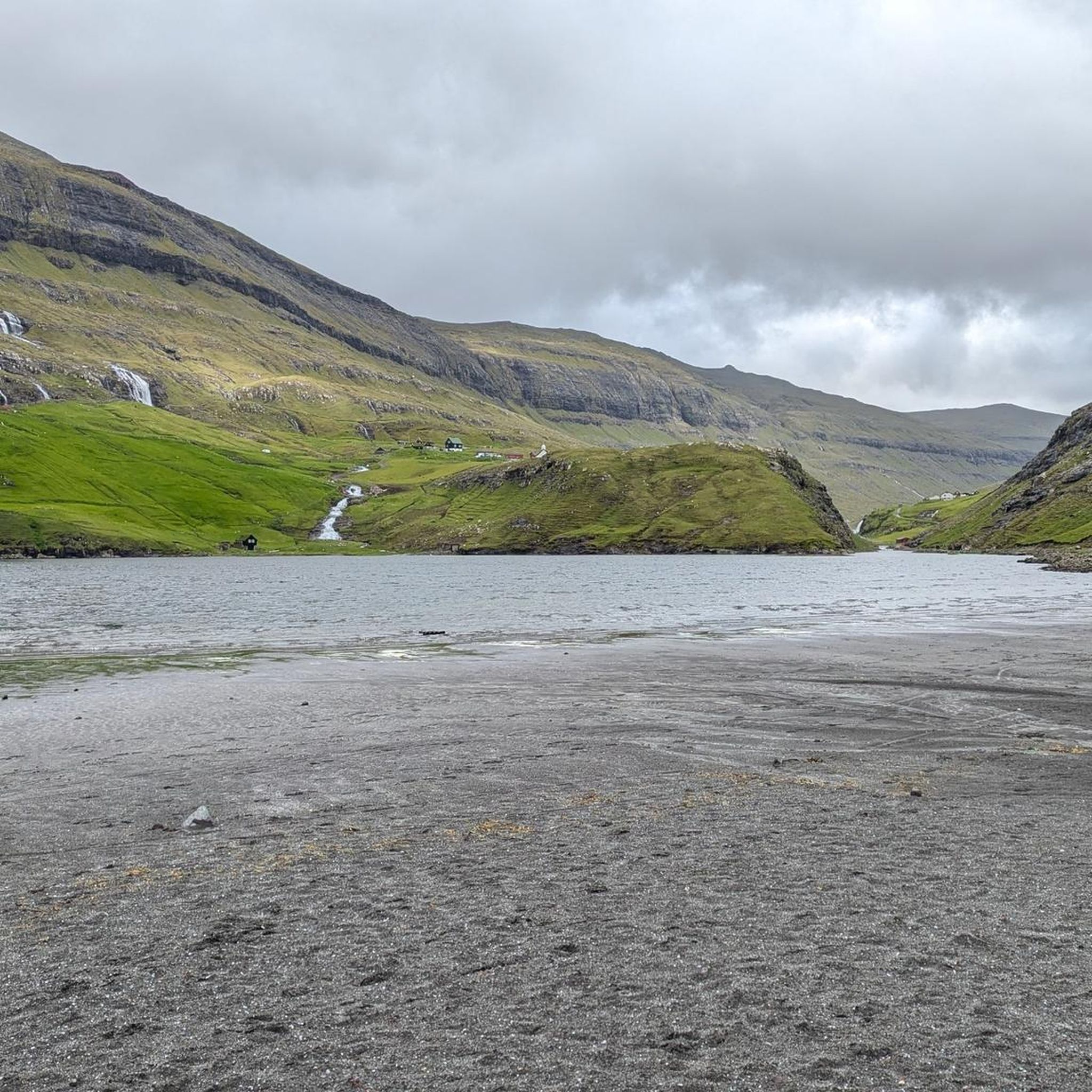
Tips from the Community

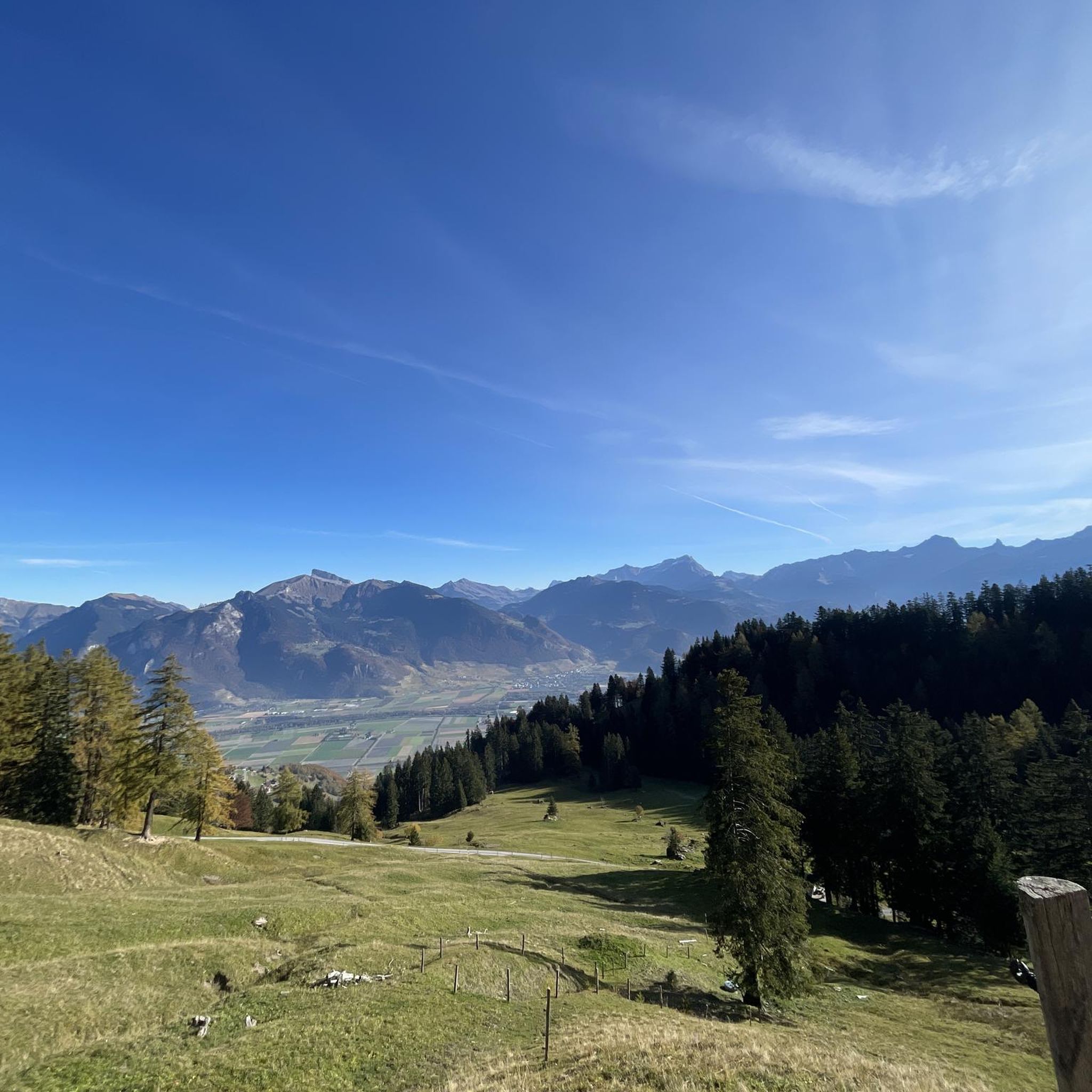
No photo can reflect the beauty of the place 😍
1
0
No photo can reflect the beauty of the place 😍
1
0
No photo can reflect the beauty of the place 😍
0
0

I highly recommend this lovely walk from Vouvry to Lake Taney.
2
0


Great view - and maybe you'll actually get to see ibexes 😍
1
0

If the weather is good you can already see Mont Blanc in the distance!
0
0

Frequently Asked Questions
How many mountaineering routes are available around Vionnaz?
Vionnaz offers a good selection of mountaineering routes, with over 25 tours available. These range from moderate paths to more challenging ascents, providing options for various skill levels.
What kind of terrain can I expect on mountaineering routes in Vionnaz?
The mountaineering routes in Vionnaz traverse diverse landscapes, from dense mountain forests and lush alpine meadows to prominent peaks. You'll encounter varied terrain, including significant elevation gains and rocky sections, especially on routes leading to summits like Dent d'Oche and Grammont.
Are there any moderate mountaineering routes suitable for those with less experience?
Yes, Vionnaz has several moderate mountaineering routes. For example, the Lac de Taney – Refuge La Vouivre loop from Le Tâche is a moderate 6.2 km trail that takes about 2 hours 27 minutes, offering access to a scenic mountain lake without extreme difficulty. Another moderate option is the Pas de la Bosse loop from La Chapelle-d'Abondance.
What are some challenging mountaineering routes for experienced climbers in Vionnaz?
For experienced mountaineers, Vionnaz offers several difficult routes with substantial climbs. The Grammont – Alamont loop from Le Tâche is a difficult 14.6 km trail with significant elevation gain, typically taking nearly 7 hours to complete. Another challenging option is the Les Cornettes de Bise – Col Chaudin loop from Le Tâche, which covers 17.1 km and traverses high alpine terrain.
Are there any circular mountaineering routes in the Vionnaz area?
Yes, many of the mountaineering routes around Vionnaz are designed as loops, allowing you to start and end at the same point. Examples include the challenging Grammont – Alamont loop from Le Tâche and the more moderate Lac de Taney – Refuge La Vouivre loop from Le Tâche.
What natural attractions or viewpoints can I find along the mountaineering routes?
Mountaineering in Vionnaz offers breathtaking vistas. You can reach the Grammont Summit (2,172 m) for panoramic views of Lake Geneva and the Valais Alps. The Dent d'Oche summit also provides a spectacular panorama including Mont Blanc on clear days. Don't miss Bellevue Point for superb views of the Dent du Midi region.
Are there any lakes accessible via mountaineering routes in Vionnaz?
Yes, the region features beautiful alpine lakes. The Lac de Taney is a notable highlight, accessible via routes like the Lac de Taney – Refuge La Vouivre loop from Le Tâche. Other lakes in the wider area include Lake Aï and Lake Morgins.
What do other mountaineers say about the routes in Vionnaz?
The mountaineering routes in Vionnaz are highly regarded by the komoot community, holding an average rating of 4.6 stars from over 28 reviews. Users often praise the diverse landscapes, the challenging yet rewarding ascents, and the stunning panoramic views from the summits.
Is Vionnaz suitable for winter mountaineering?
While this guide focuses on summer mountaineering, Vionnaz and the wider Valais region transform into a winter sports haven. The area is popular for skiing, snowboarding, cross-country skiing, and snowshoeing. For winter mountaineering, specific conditions and avalanche warnings must be carefully considered, and appropriate gear and experience are essential.
Are there options for parking near the mountaineering trailheads in Vionnaz?
Many mountaineering routes in Vionnaz, particularly those starting from villages like Le Tâche or La Chapelle-d'Abondance, typically offer parking facilities nearby. It's always advisable to check specific route details for parking information before your trip.
Can I reach mountaineering trails in Vionnaz using public transport?
Vionnaz is located in the Upper Valais, and while public transport options exist within the region, access to specific remote trailheads for mountaineering might be limited. It's recommended to research local bus schedules or consider a combination of public transport and a short taxi ride to reach less accessible starting points.
What is the best season for mountaineering in Vionnaz?
The best season for mountaineering in Vionnaz is typically from late spring to early autumn (June to September), when trails are generally free of snow and weather conditions are more stable. Always check local weather forecasts and trail conditions before heading out, as alpine weather can change rapidly.
Most popular attractions around Vionnaz

Get inspired with the komoot mobile app


Explore more
Browse the best Mountain Hikes & Routes in other regions.
