The best mountain hikes in Gundis
4.0
(8)
147
hikers
20
hikes
Mountaineering in Gundis offers access to a diverse alpine landscape, characterized by high peaks, deep valleys, and significant elevation changes. The region features rugged terrain, including rocky slopes and alpine meadows, providing a challenging environment for experienced mountaineers. These routes often traverse areas with impressive mountain vistas and natural features such as glacial lakes and high-altitude passes. The area around Gundis is well-suited for demanding ascents and multi-day expeditions.
Best mountaineering routes in Gundis
- The most popular mountaineering route is…
Last updated: June 27, 2026
4.0
(1)
27
hikers
14.6km
07:10
1,010m
1,010m
Hard mountaineering route. Very good fitness required. Sure-footedness, sturdy shoes and alpine experience required.
24
hikers
12.2km
05:37
1,040m
1,040m
Hard mountaineering route. Very good fitness required. Sure-footedness, sturdy shoes and alpine experience required.

Sign up for free
5.0
(1)
11
hikers
23.4km
08:45
1,060m
1,060m
Hard mountaineering route. Very good fitness required. Sure-footedness, sturdy shoes and alpine experience required.
7
hikers
7.02km
04:38
730m
730m
Hard mountaineering route. Good fitness required. Sure-footedness, sturdy shoes and alpine experience required.
5
hikers
11.5km
03:40
360m
360m
Moderate mountaineering route. Good fitness required. Mostly accessible paths. Sure-footedness required.
3.0
(1)
5
hikers
7.61km
03:07
470m
470m
Moderate mountaineering route. Good fitness required. Mostly accessible paths. Sure-footedness required.
3.0
(1)
5
hikers
12.9km
06:29
1,150m
1,140m
Hard mountaineering route. Very good fitness required. Sure-footedness, sturdy shoes and alpine experience required.
4
hikers
7.54km
04:24
730m
730m
Hard mountaineering route. Good fitness required. Sure-footedness, sturdy shoes and alpine experience required.
5.0
(1)
8
hikers
10.8km
04:04
560m
560m
Moderate mountaineering route. Good fitness required. Mostly accessible paths. Sure-footedness required.
5
hikers
13.0km
04:57
820m
820m
Moderate mountaineering route. Good fitness required. Mostly accessible paths. Sure-footedness required.
Get access to more routes and recommendations from other explorers.
Sign up for free
Already have an account?
Our route recommendations are based on thousands of hikes, rides, and runs completed by other people on komoot.
Start today with a free account
Your next adventure awaits.
Login or Signup
Popular around Gundis
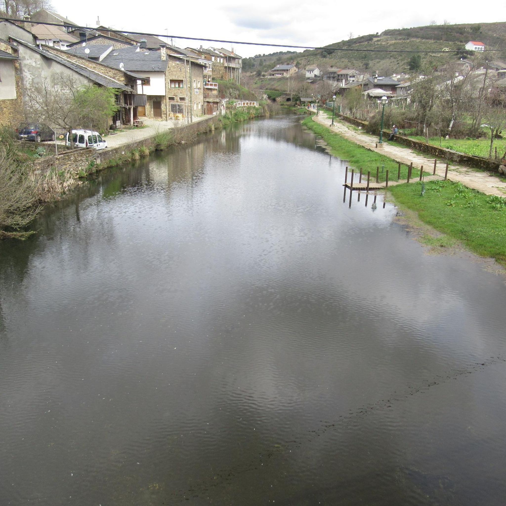
Mountain Hikes around Ardon
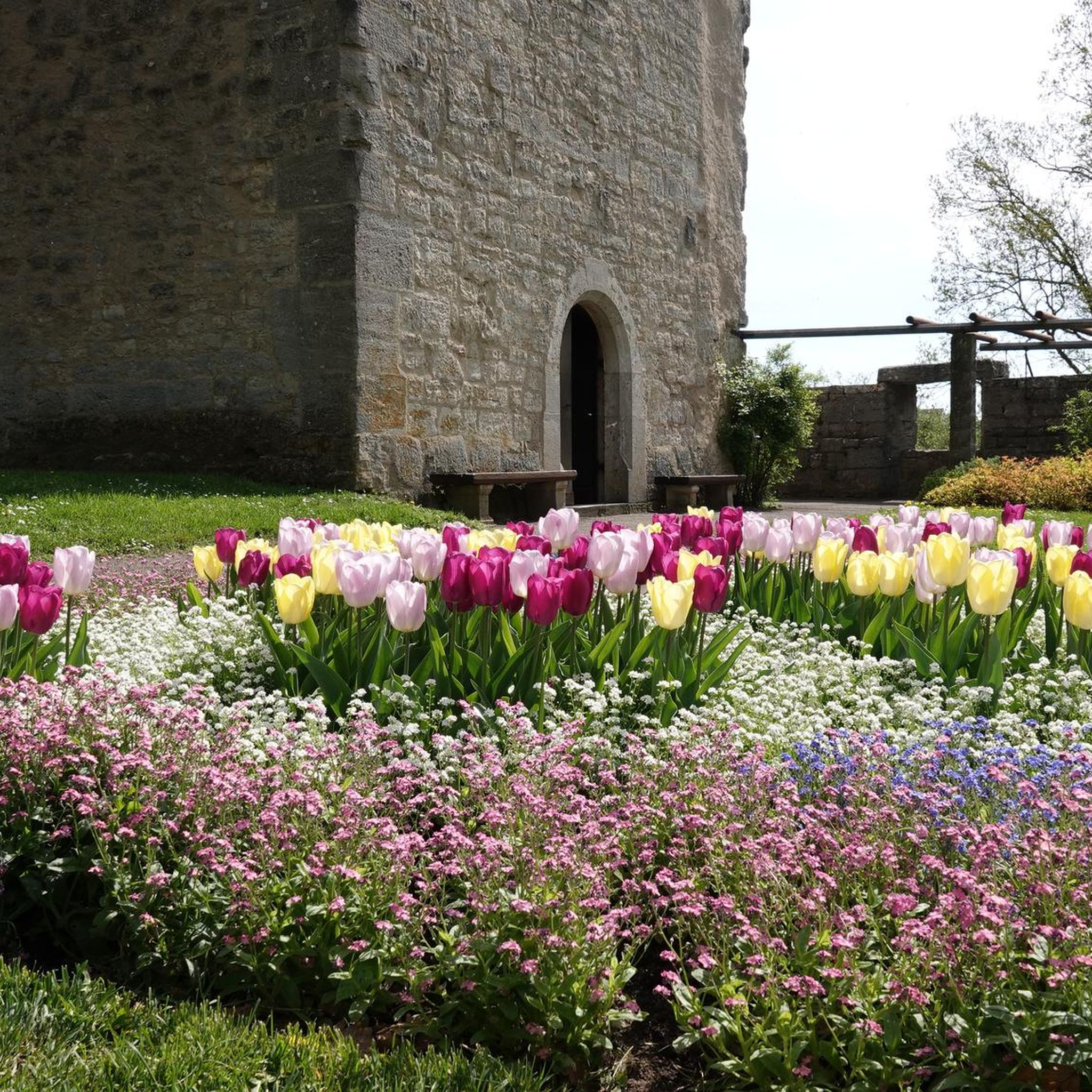
Mountain Hikes around Vétroz
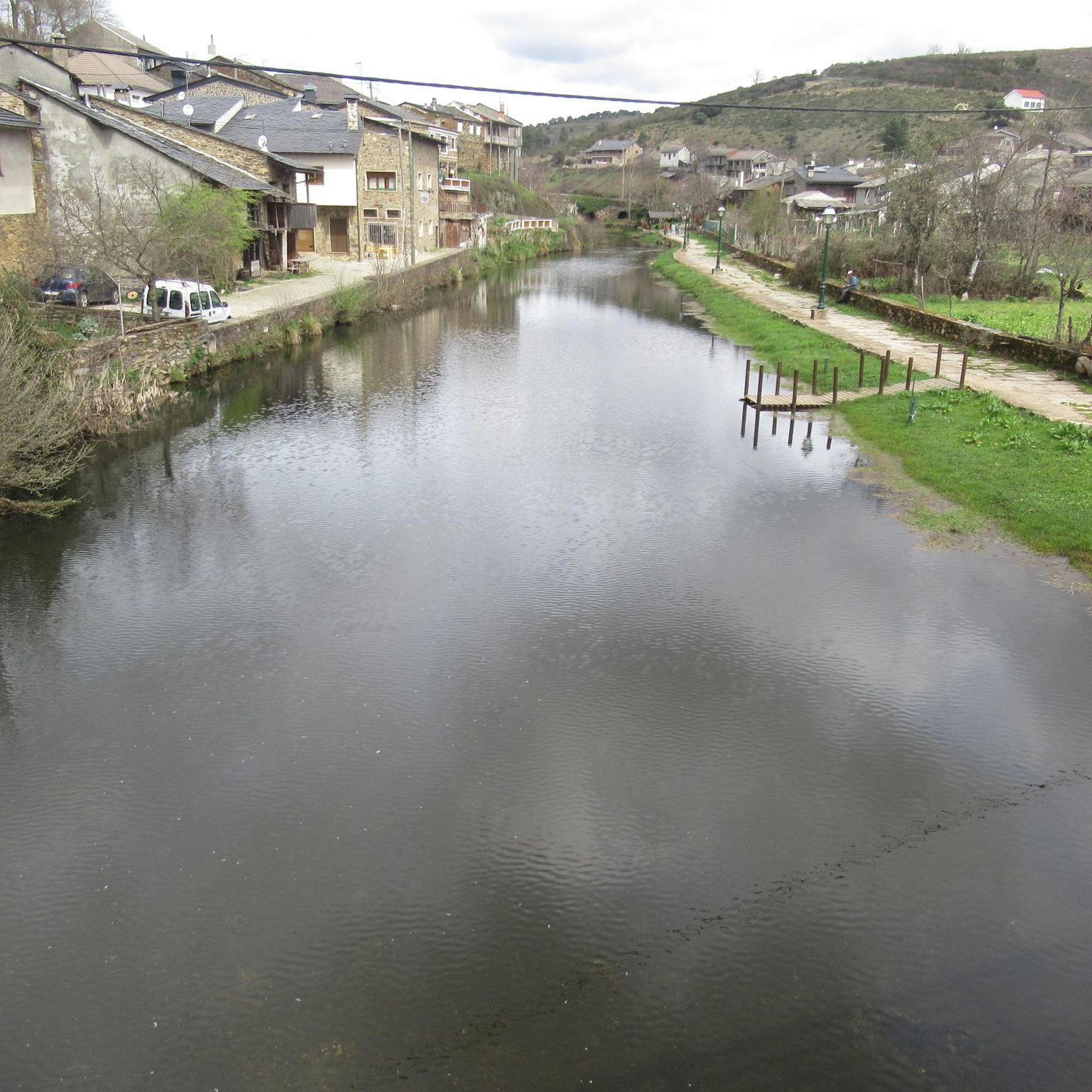
Mountain Hikes around Chamoson
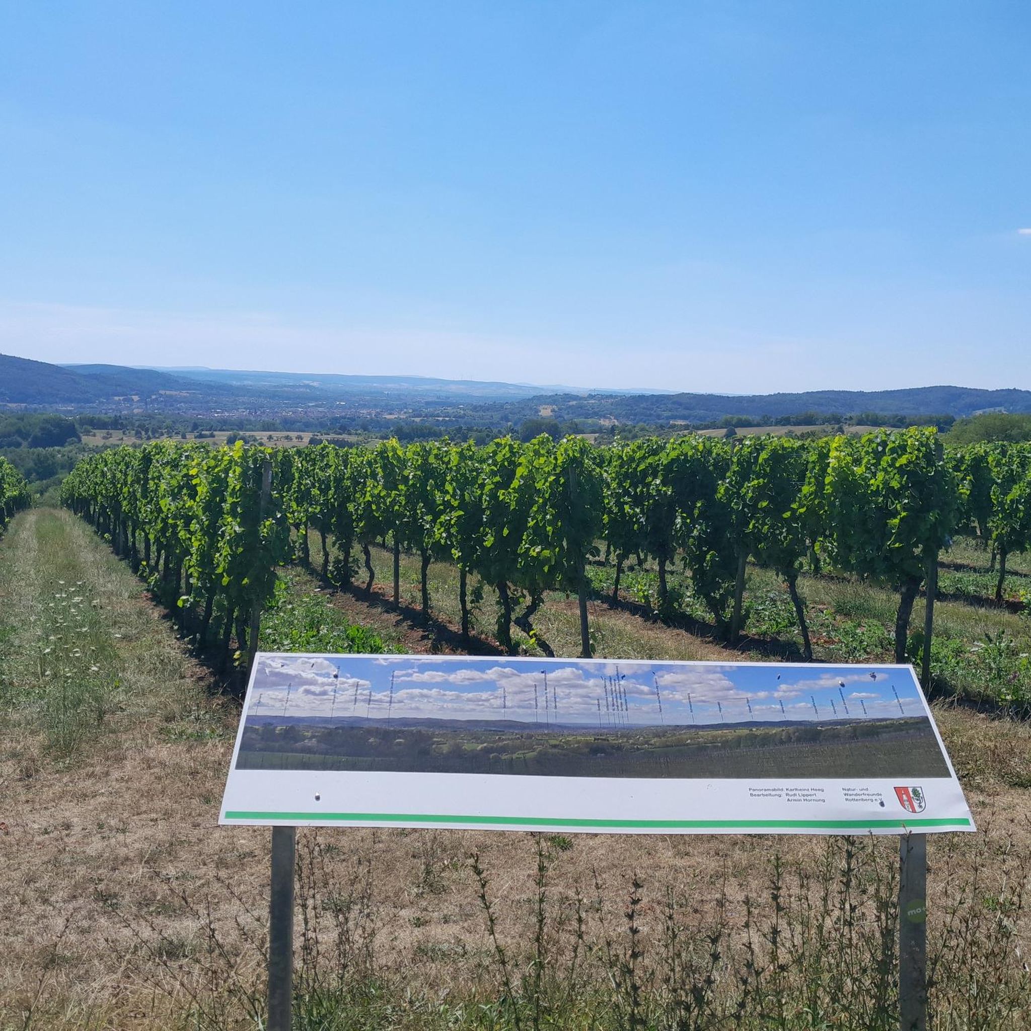
Mountain Hikes around Lac de Cleuson
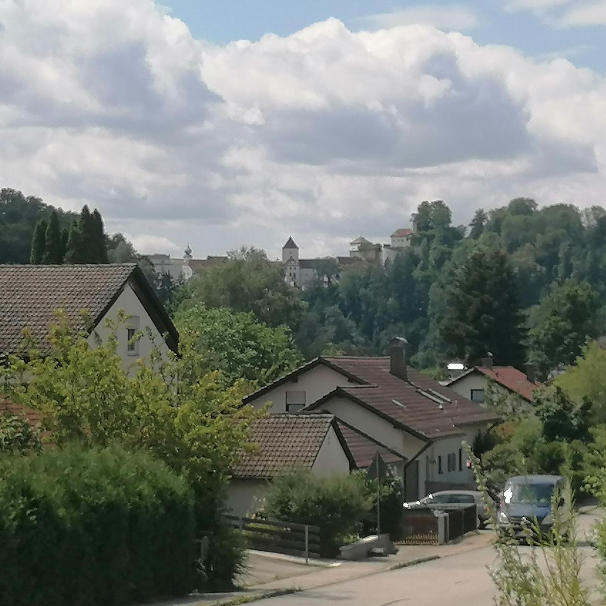
Mountain Hikes around Nendaz
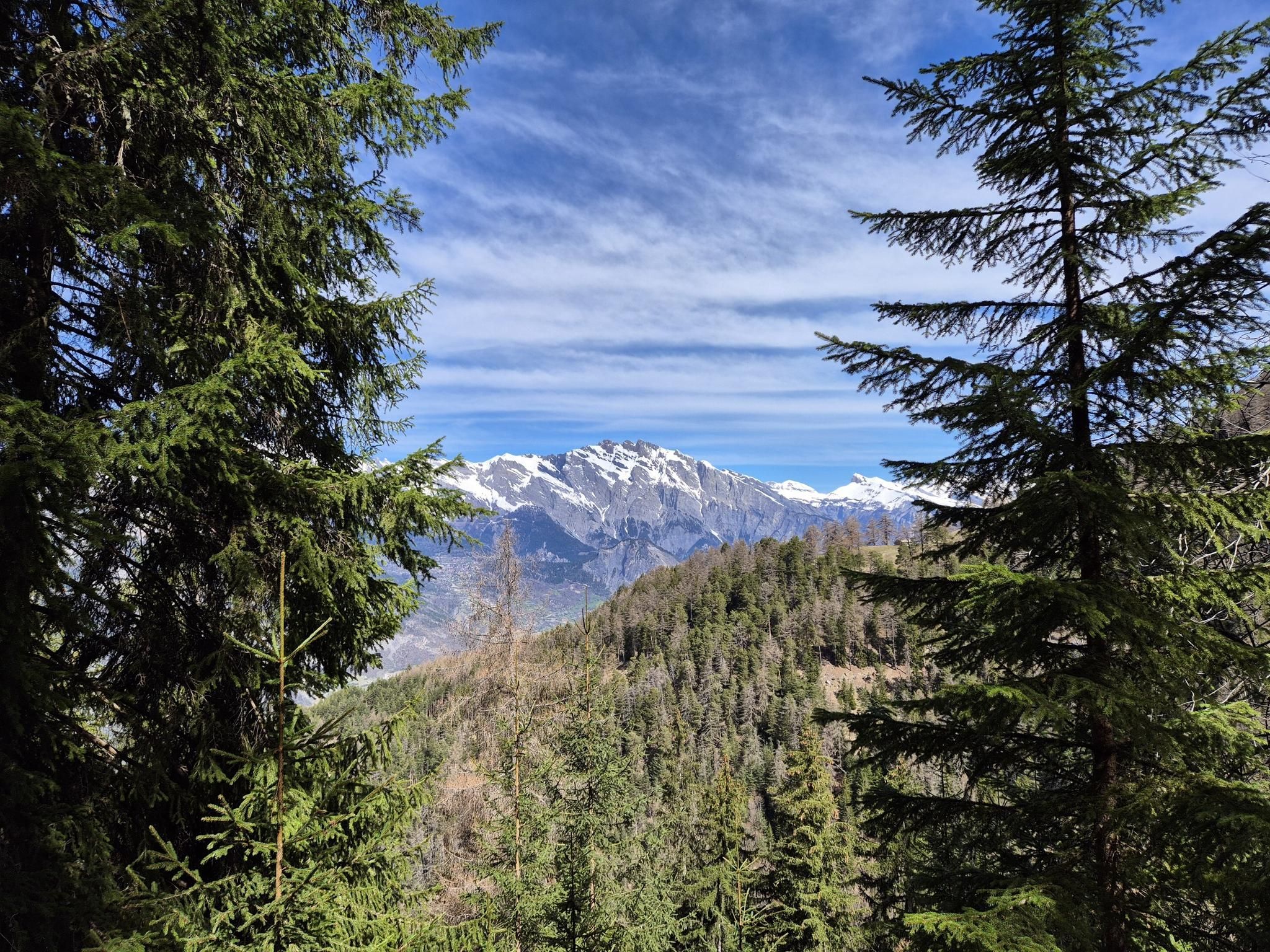
The sacred waters of the Valais - Le Chemin des Bisses
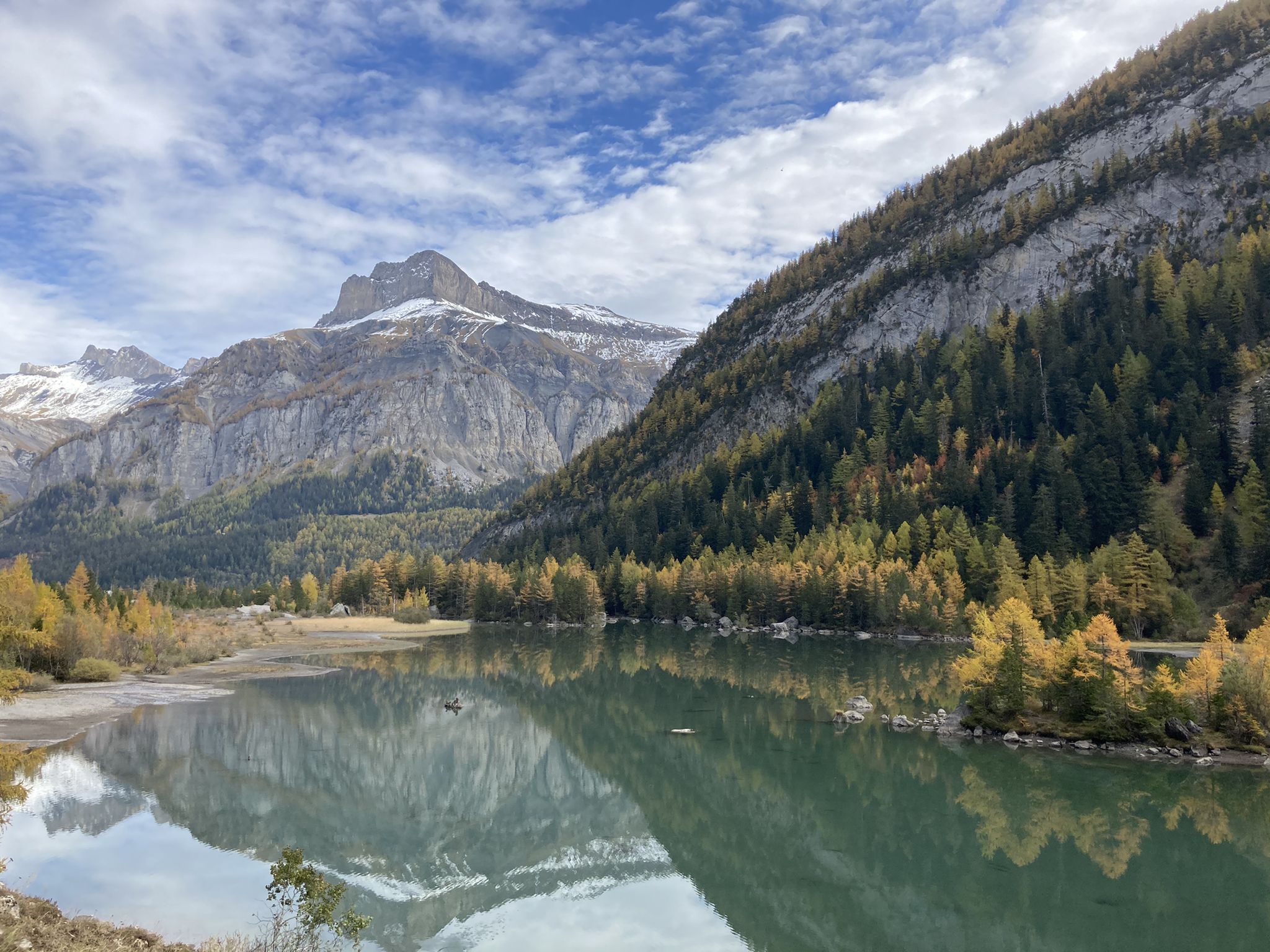
Mighty mountains and idyllic lakes – Sanetsch-Muveran-Weg hiking trail
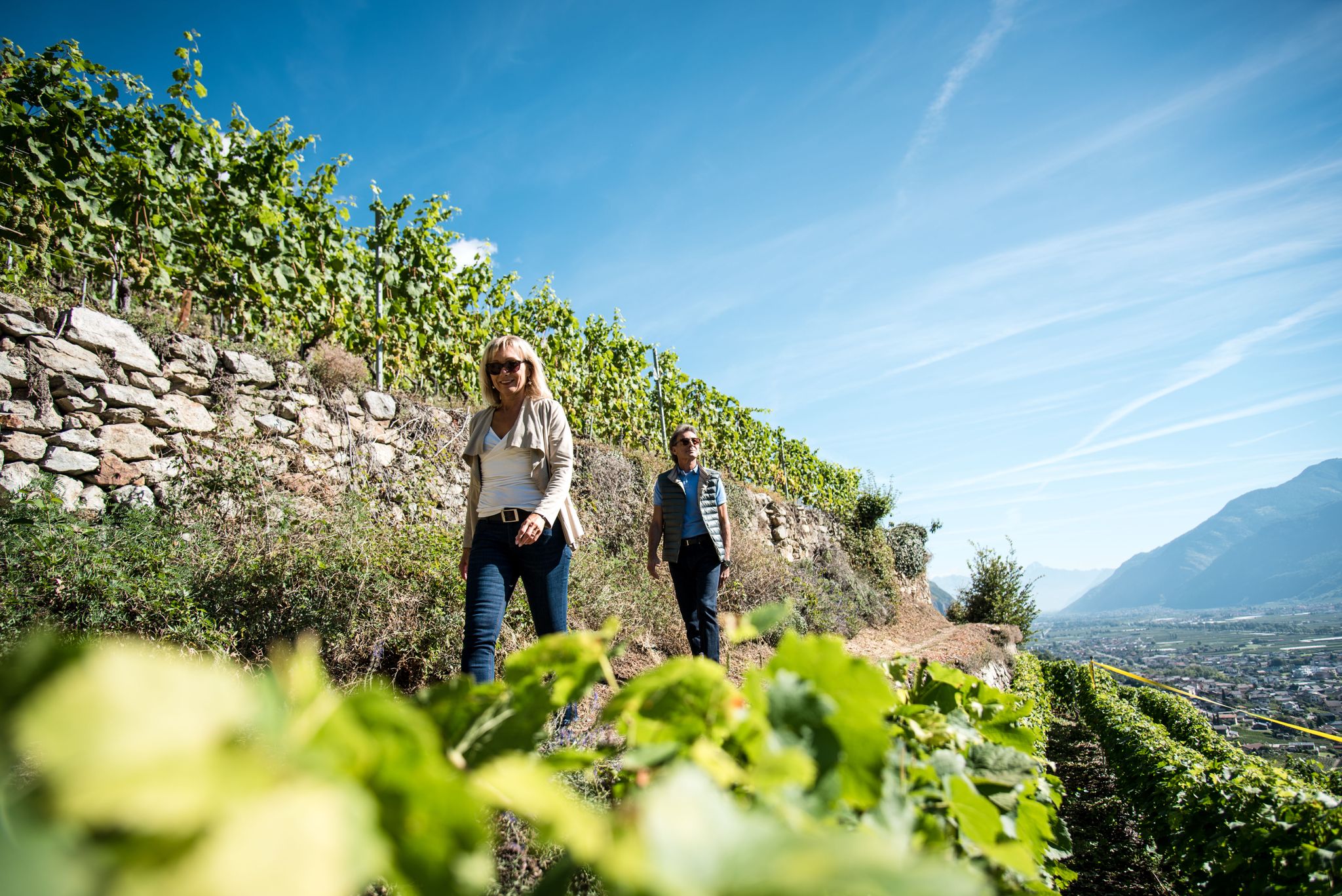
Endless mountain panoramas – themed hikes in Switzerland’s Valais
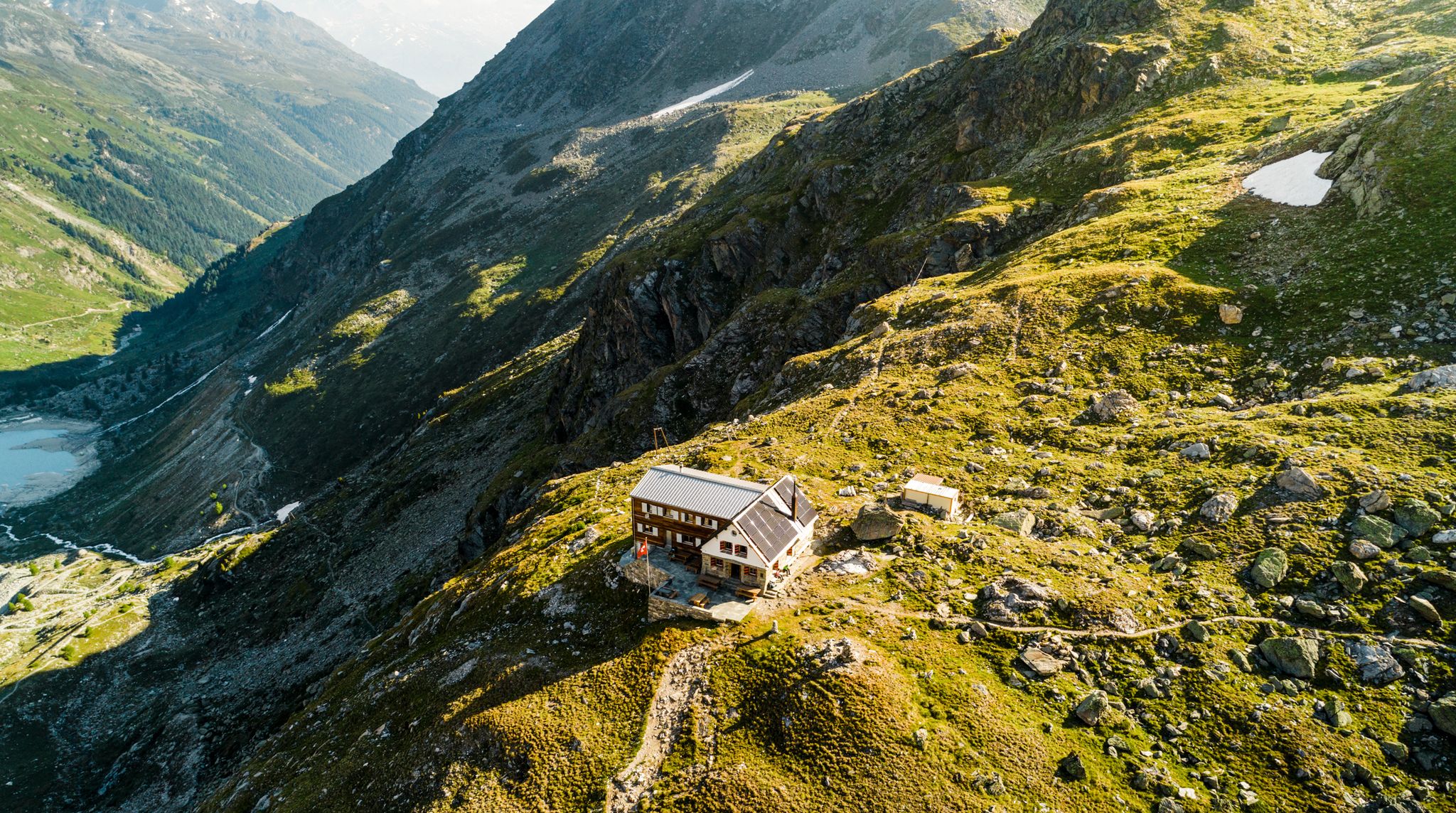
Valais — Making the mountain your home
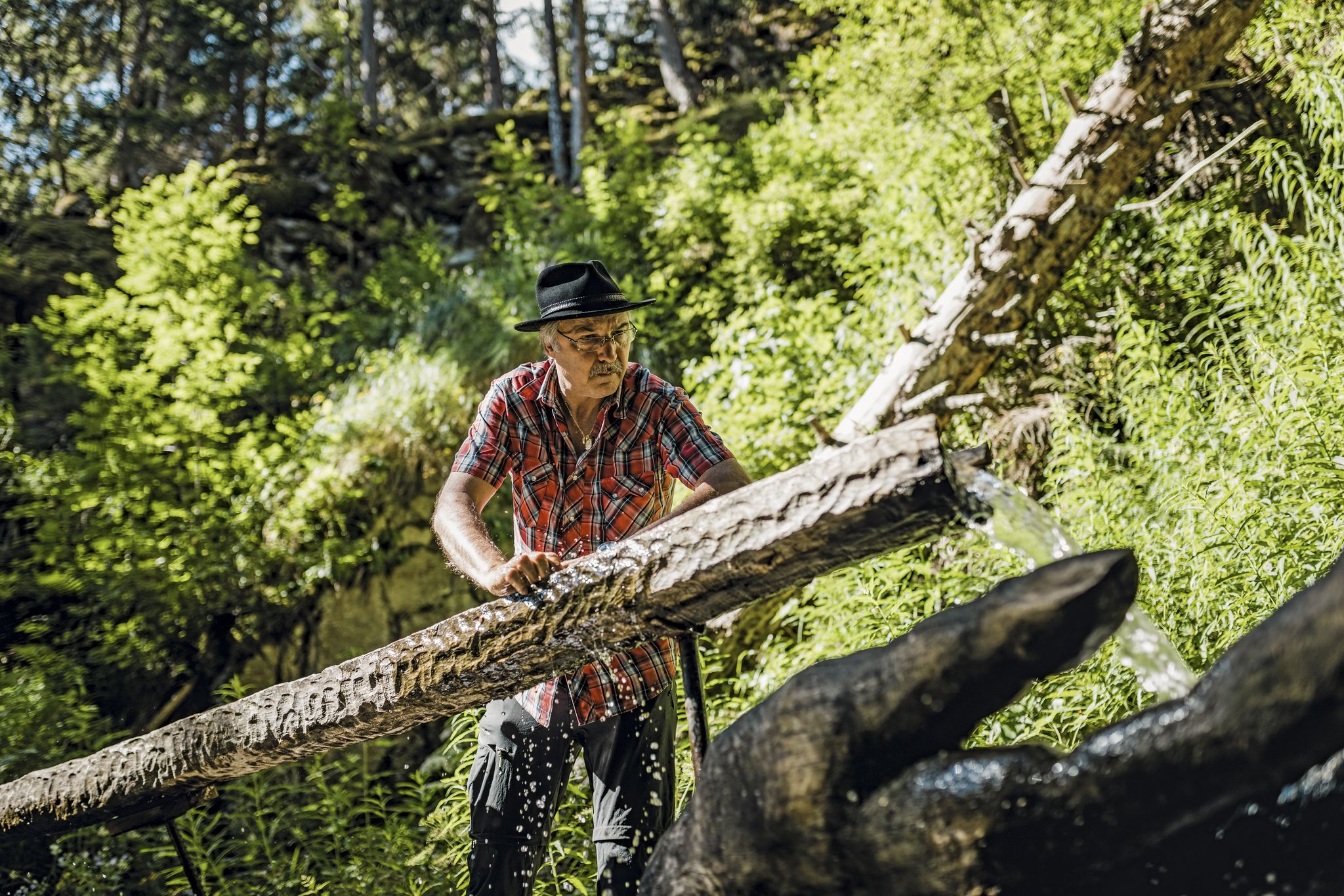
Liquid gold from Nendaz-Veysonnaz
Other adventures in Gundis


Tips from the Community

Superb climb from Sion, about 1800 m. 2 alternatives, but for gravel I recommend through the villages on the right bank of the Morge.
0
0

Charming inn nestled in the Solalex mountain pasture, with a direct view of the Miroir d'Argentine mountain wall. Enjoy hearty mountain cuisine in a warm, rustic setting. Perfect for a gourmet break after a hike. Accessible on foot, by mountain bike, or by shuttle bus in summer.
0
0
Lac de Bretaye is a peaceful high-altitude lake nestled at 1,800 meters in the Vaud Alps. Surrounded by meadows and gentle peaks, it's an ideal spot for a quiet break, a picnic, or simply admiring the scenery. Easily accessible from Villars-sur-Ollon on foot or by cogwheel train, it offers a beautiful interlude in the heart of the mountains.
0
0

The Ruinettes (approx. 2,200 m above sea level) are an important starting point for hikers, mountain bikers and skiers in the 4 Vallées region.
0
0

From Les Ruinettes, steep and rocky, at least the 'direct' path is.
0
0

Cabin with wonderful view on a great terrace
0
0
Frequently Asked Questions
How many mountaineering routes are available in Gundis?
Gundis offers a selection of 30 mountaineering routes, catering to various skill levels. You'll find 10 moderate routes and 20 more challenging options for experienced mountaineers.
Are there any easy mountaineering routes suitable for beginners in Gundis?
While mountaineering in Gundis is generally characterized by challenging alpine terrain, there are 10 routes classified as moderate. These can be a good starting point for those with some hiking experience looking to transition into mountaineering. For example, the Grande Dixence Dam – Grande Dixence Dam loop from La Grande Dixence is a moderate 6.6-mile route offering impressive views.
What is the typical duration for mountaineering routes in Gundis?
The duration of mountaineering routes in Gundis varies significantly based on difficulty and length. Moderate routes, like the Chalet du Prabé loop from Sion (7.8 miles), can take around 3 hours. More difficult and longer routes, such as the Grand Dent de Morcles – Summit Trail Above Valais loop from Jorasse (9.1 miles), can require over 7 hours to complete.
Are there any circular mountaineering routes in Gundis?
Yes, many of the mountaineering routes in Gundis are designed as loops, allowing you to start and finish at the same point. Examples include the Pointe d'Euzanne – Col des Pauvres loop from Les Plans-sur-Bex, Le Chamois and the La Motte – Refuge Giacomini loop from Solalex.
What kind of views can I expect on mountaineering routes in Gundis?
Mountaineering in Gundis, particularly in the broader South Tyrol region, offers spectacular alpine vistas. Routes often provide panoramic views of deep valleys, high peaks, and impressive natural features. For instance, the Ibex Colony – View of the Mont Blanc Massif loop from Ovronnaz offers stunning views of the Mont Blanc Massif, while the Arpelistock Summit (3,035 m) loop from Col du Sanetsch leads to a prominent summit with extensive views.
What are some challenging mountaineering trails in Gundis?
Gundis is home to 20 difficult mountaineering routes designed for experienced climbers. These often involve significant elevation changes and rugged terrain. Notable challenging routes include the Cabane des Dix – Grande Dixence Dam loop from La Grande Dixence, which covers over 14 miles and features substantial ascents.
What is the best season for mountaineering in Gundis?
The best season for mountaineering in Gundis typically runs from late spring through early autumn (June to September) when snowmelt has largely cleared higher trails and weather conditions are more stable. However, always check local weather forecasts and trail conditions before heading out, as alpine weather can change rapidly.
Are there any interesting landmarks or natural monuments to see along the routes in Gundis?
Yes, the Gundis region is rich in natural and historical landmarks. Along your routes, you might encounter impressive summits like Dent de Nendaz or Mont Rouge Summit. There are also natural monuments such as the Quille du Diable and serene spots like Lac de Tracouet.
What do other mountaineers enjoy most about the routes in Gundis?
The routes in Gundis are highly rated by the komoot community, with an average score of 4.2 stars from over 18 reviews. Mountaineers often praise the diverse alpine landscape, the challenging ascents, and the impressive mountain vistas. The region's rugged terrain provides a rewarding experience for those seeking demanding expeditions.
Are there any mountain huts or refuges along the mountaineering routes in Gundis?
Yes, there are mountain huts and refuges available in the Gundis area that can serve as rest stops or overnight accommodation for multi-day expeditions. Examples include the Rambert SAC Hut and the Derborence Lake Refuge, which can be found along various routes.
Are there any routes that pass by lakes in Gundis?
Yes, some mountaineering routes in Gundis offer views of or pass by beautiful alpine lakes. For instance, the Lac Rogneux – Creblet loop from Verbier is a moderate route that takes you past Lac Rogneux, offering scenic lakeside views amidst the mountainous landscape.
Most popular routes in Gundis
Most popular attractions in Gundis

Get inspired with the komoot mobile app


Didn’t find what you were looking for?
Check out more Mountain Hikes & Routes throughout Gundis below and find the perfect route in your destination.
