The best mountain hikes around Vex
5.0
(2)
32
hikers
3
hikes
Mountaineering routes around Vex are set within the Swiss Alps, offering a diverse alpine environment. The region features prominent mountain peaks such as the Dent de Nendaz and Mont Rouge Summit, which reaches 2,491 meters. The Val d'Hérens, where Vex is located, presents varied landscapes including cultivated terraces, cliffs, meadows, and wild vegetation. Alpine lakes and rivers are also present, contributing to the area's natural composition.
Best mountaineering routes around Vex
- The most popular mountaineering route is Grande Dixence Dam…
Last updated: October 14, 2026
5.0
(1)
11
hikers
1.50km
01:18
180m
180m
Hard mountaineering route. Great for any fitness level. Sure-footedness, sturdy shoes and alpine experience required.
5.0
(1)
10
hikers
24.9km
09:12
1,110m
1,100m
Hard mountaineering route. Very good fitness required. Mostly accessible paths. Sure-footedness required.

5
hikers
13.0km
04:57
820m
820m
Moderate mountaineering route. Good fitness required. Mostly accessible paths. Sure-footedness required.
4
hikers
8.66km
04:04
670m
670m
Moderate mountaineering route. Good fitness required. Mostly accessible paths. Sure-footedness required.
2
hikers
8.18km
02:56
390m
390m
Hard mountaineering route. Good fitness required. Sure-footedness, sturdy shoes and alpine experience required.
Our route recommendations are based on thousands of hikes, rides, and runs completed by other people on komoot.
Start today with a free account
Your next adventure awaits.

Tips from the Community

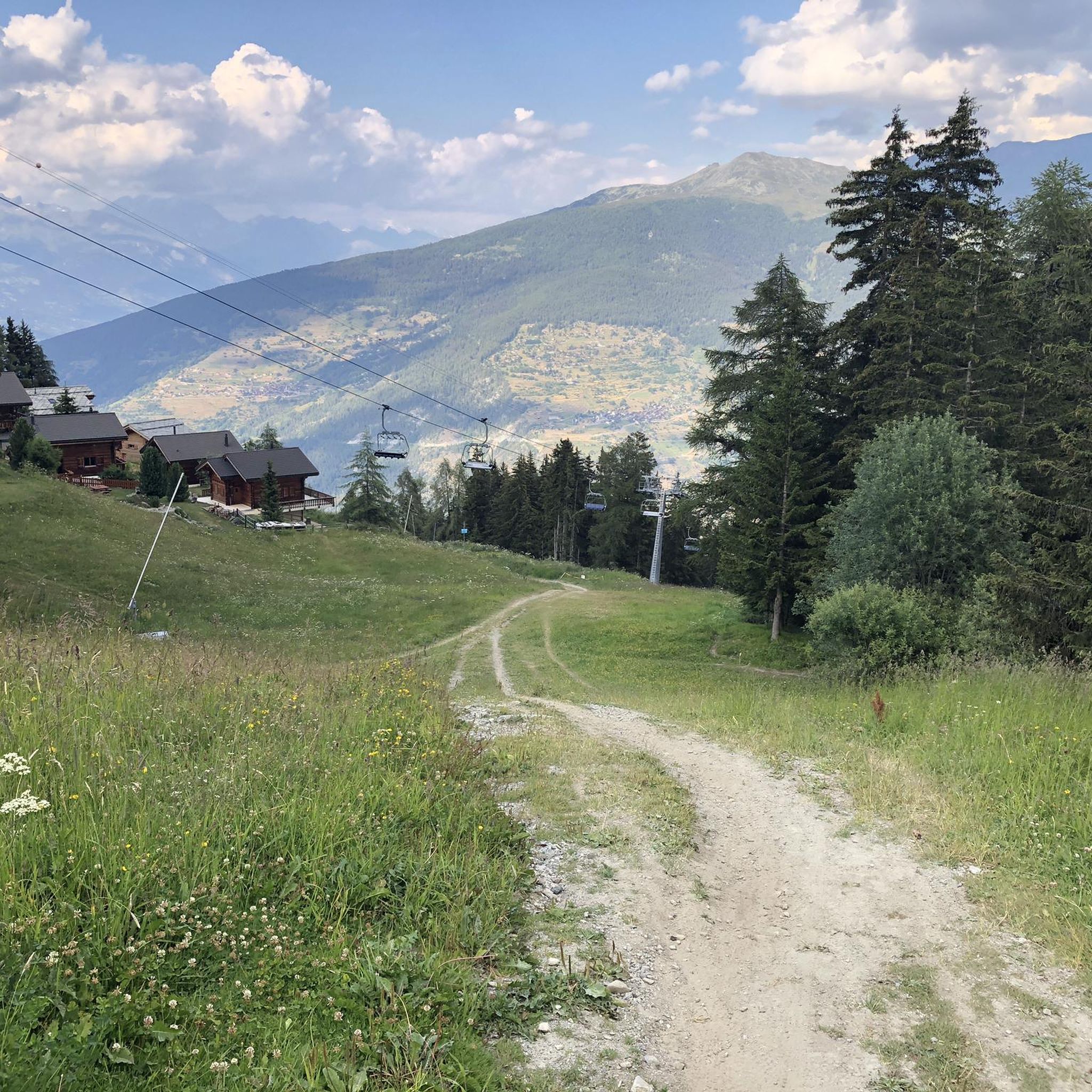
Well-marked trails through a rocky valley, with the Prafleuri mountain hut at the top of the valley where you can sit, eat and drink.
0
0

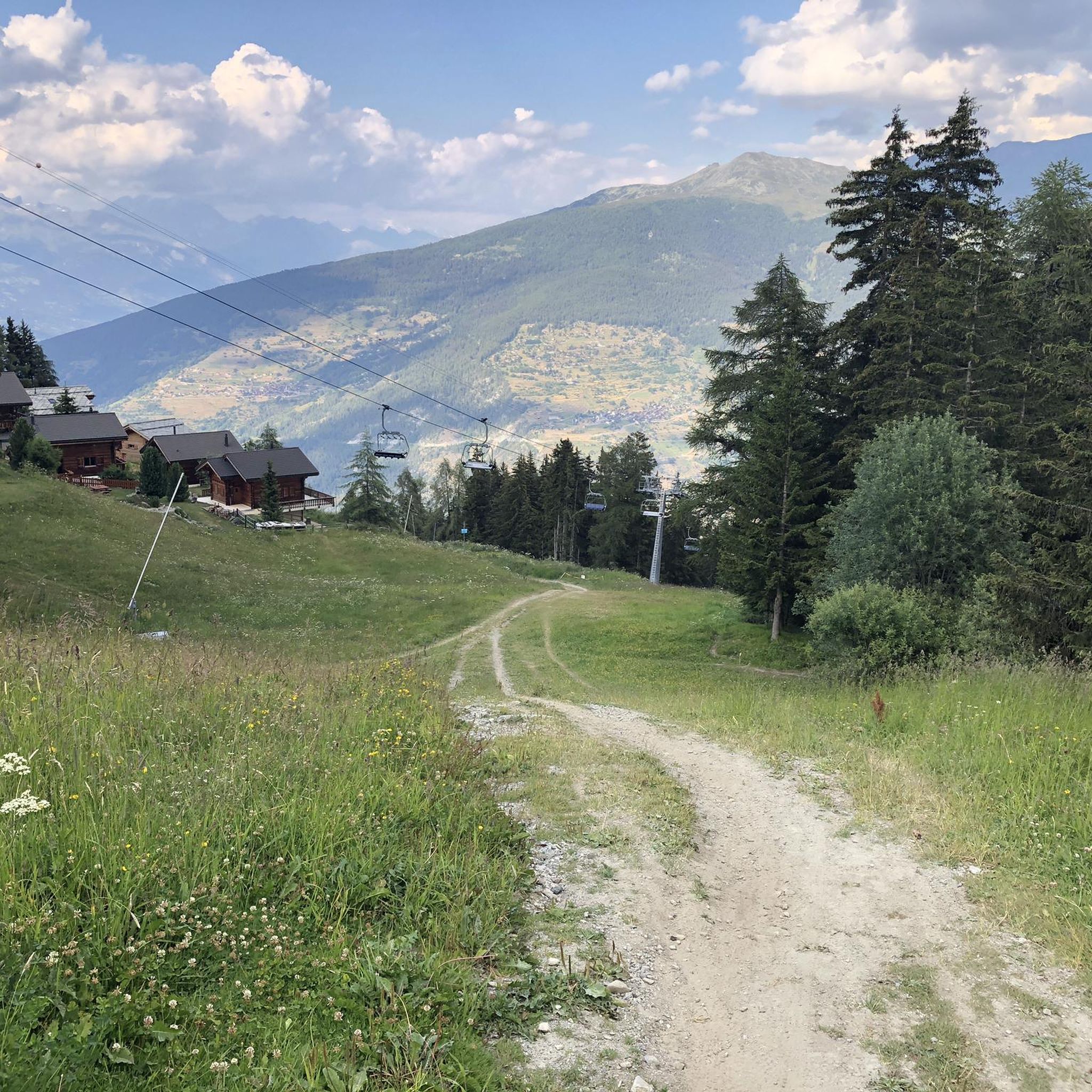
Cabin with wonderful view on a great terrace
0
0

This passage offers a pretty view of the lakes located below Mont Rouge.
0
0

At the foot of the dam you can really appreciate the immensity of the work: six million cubic metres of concrete, and with a height of 285 metres, it is the highest gravity dam in the world, and the most massive in Europe.
1
0
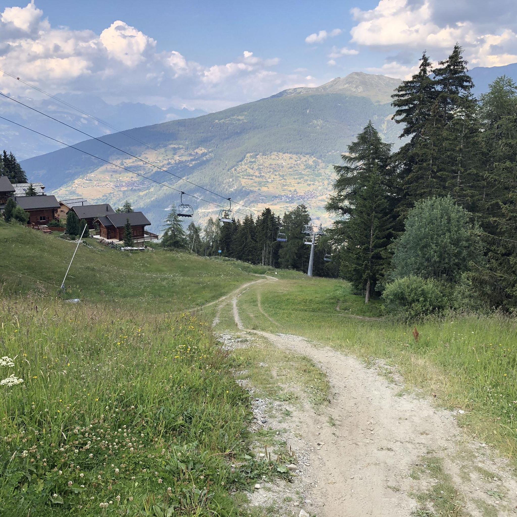
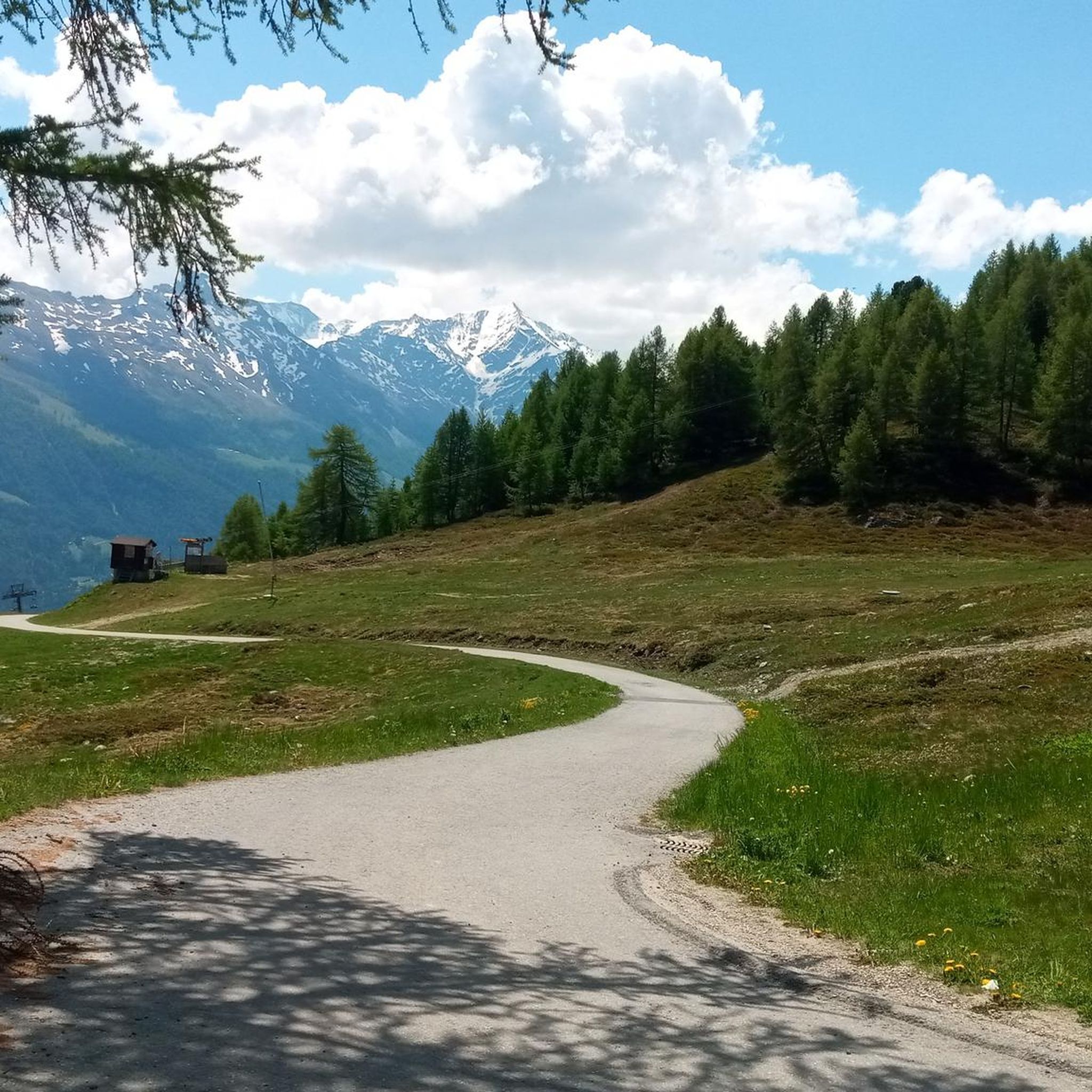
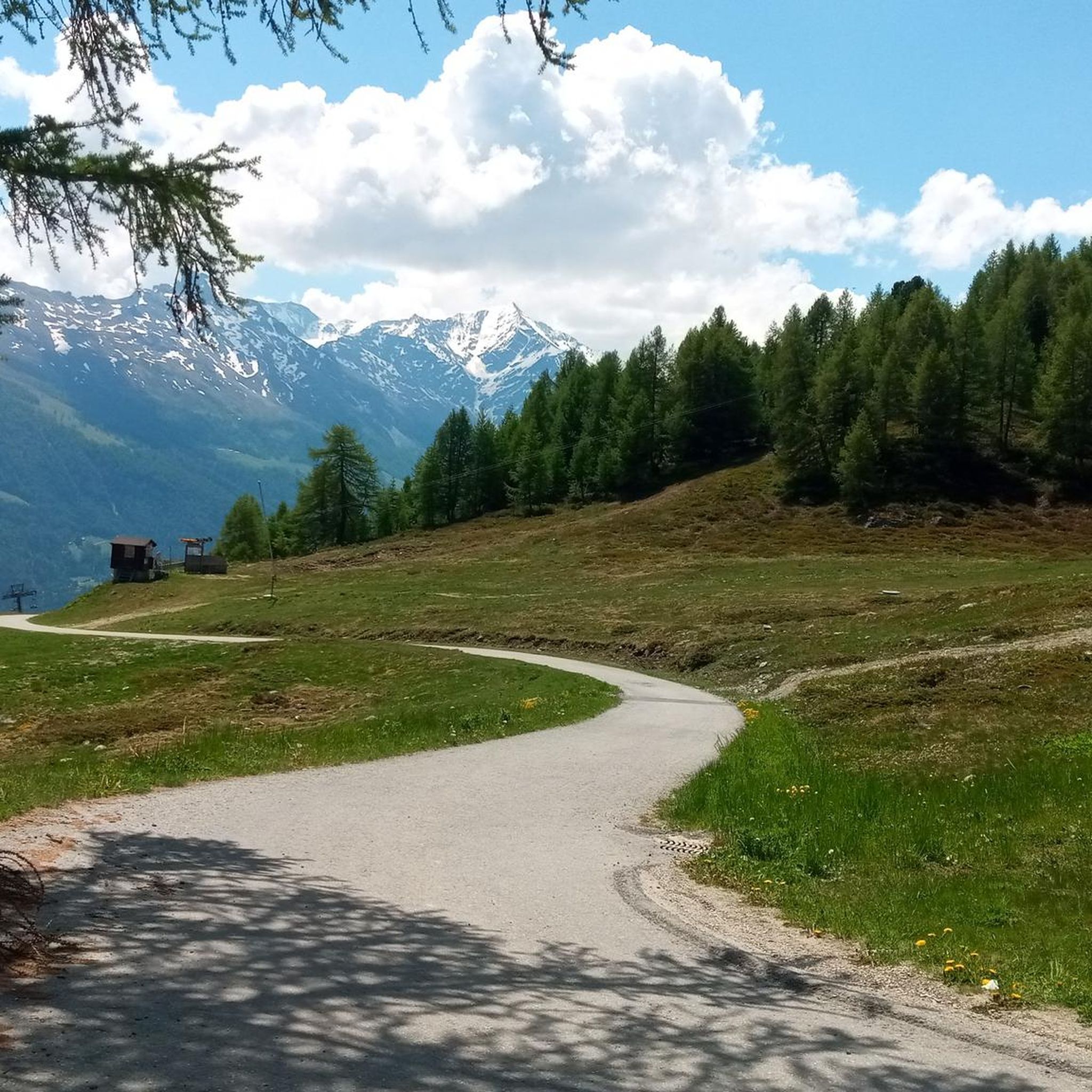
Beautiful path narrow at times but beautiful views and small difference in altitude
0
0


Whether you're coming from the south or the north, the spot where the glacial runoff pours into Lake Dix is truly impressive. You can take a break and watch the massive masses of water for a long time. The lake is located at an elevation of 2,362 meters. Fun fact: the dam at the other end of Lac des Dix is, at 285 meters, the tallest structure in Switzerland.
0
0

A large and emblematic lake, suspended in the mountain valleys below the Aiguille Rouges d'Arolla. The waters of the lake are a powerful turquoise, tinted by the minerals of the mountain waters that fill it. The lake is a feature of the legendary Haute Route, and is visited by cyclists, hikers and skiers on their journeys between Verbier and Arolla. There are many ways to access the lake by bike, ranging from challenging mountain excursions to gentler morning outings. The lake is also a great place to sit and absorb the mountain ambiance, looking out at the rocky peaks that dominate this pool and the cows roaming their meadows.
0
0
Frequently Asked Questions
How many mountaineering routes are available around Vex?
There are 7 mountaineering routes around Vex listed on komoot, offering a range of experiences from moderate to difficult.
What kind of terrain can I expect on mountaineering routes near Vex?
Mountaineering routes around Vex traverse a diverse alpine environment within the Swiss Alps. You'll encounter prominent mountain peaks, varied landscapes of the Val d'Hérens including cultivated terraces, cliffs, meadows, and wild vegetation, as well as alpine lakes and rivers. Some routes also feature ancient irrigation channels known as 'bisses'.
Are there routes suitable for beginners or those looking for a moderate challenge?
Yes, Vex offers several moderate mountaineering routes. For example, the Chalet du Prabé loop from Sion is a moderate 7.8 km route with an elevation gain of over 600 meters, typically taking around 3 hours and 10 minutes. Another moderate option is the La Maya loop from Mase, covering nearly 13 km with over 800 meters of ascent.
What natural attractions can I see while mountaineering near Vex?
The region around Vex is rich in natural beauty. You can encounter stunning alpine lakes such as Lac de la Brèche, Lake Arbey, and Lac de Tracouet. There are also impressive mountain passes like Pas de Lona and the Sanetsch Pass, offering breathtaking views.
Are there any unique historical features to explore on the trails?
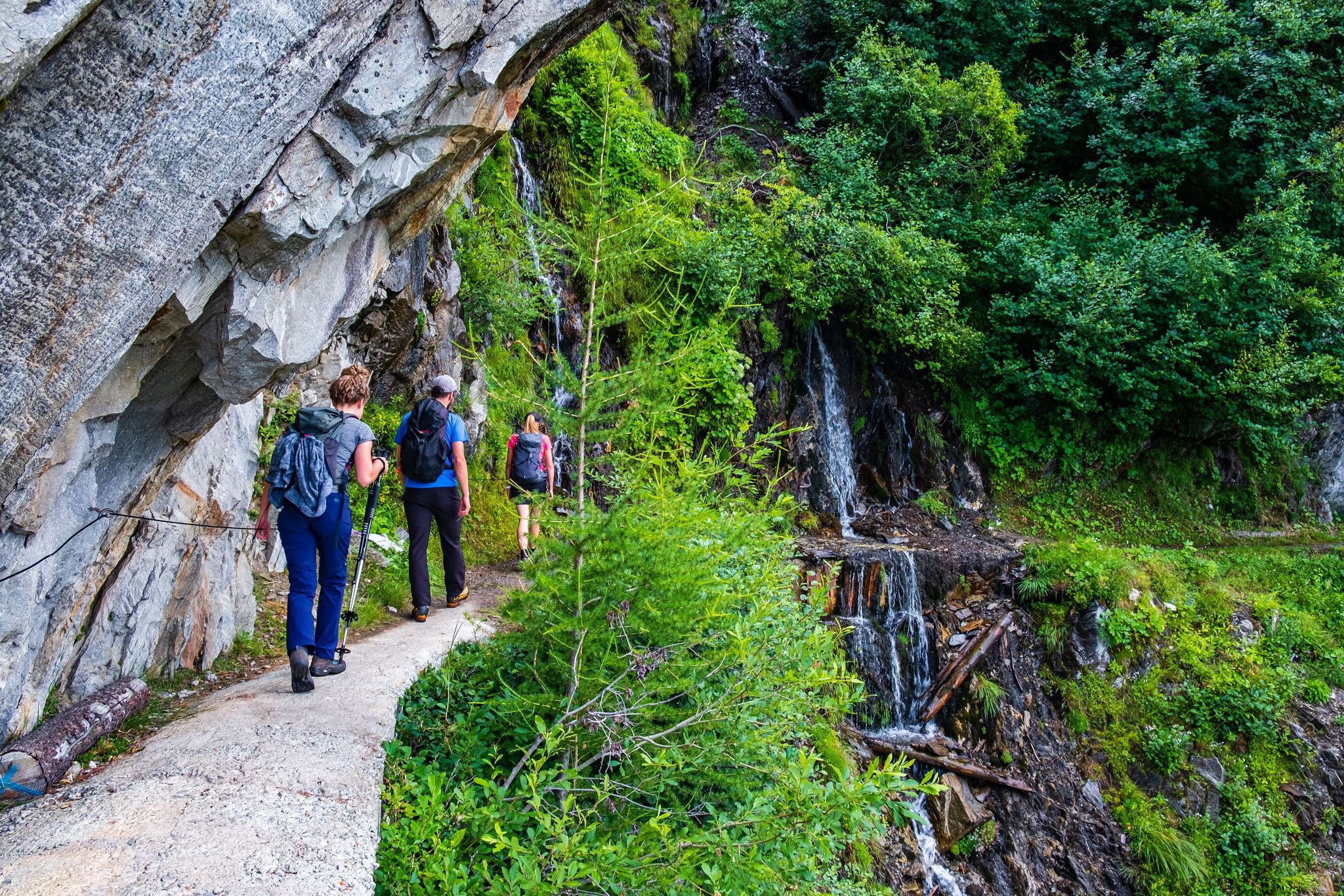
Yes, the Valais region, where Vex is located, is known for its ancient 'bisses'. These are historical irrigation channels that often feature picturesque walking paths, providing a unique cultural and natural experience alongside your mountaineering adventure. The Bisse de Vex is particularly well-known.
What is the best time of year for mountaineering in Vex?
The best time for mountaineering in Vex is generally during the warmer months, from late spring to early autumn, when trails are clear of snow and weather conditions are more stable. However, conditions can vary greatly with altitude, so always check local forecasts and trail conditions before heading out. Winter mountaineering is possible but requires specialized equipment and skills due to snow and ice.
Are there any circular mountaineering routes around Vex?
Yes, several routes around Vex are designed as loops. Besides the popular Grande Dixence Dam – Grande Dixence Dam loop, you can also explore the View of La Maya loop from Nax, which is a challenging but shorter route offering panoramic views, or the Cabane des Dix – Grande Dixence Dam loop for a longer, more demanding experience.
What do other mountaineers enjoy the most about mountaineering in Vex?
The mountaineering routes around Vex are highly rated by the komoot community, with an average score of 4.8 stars. Mountaineers often praise the majestic Swiss Alps backdrop, the diverse landscapes of the Val d'Hérens, and the variety of routes available for different skill levels.
Can I bring my dog on the mountaineering trails near Vex?
While many trails in Switzerland are dog-friendly, it's always recommended to check specific regulations for each route or protected area. Generally, dogs should be kept on a leash, especially in nature reserves or areas with livestock, and you should always carry bags to clean up after your pet.
Are there any challenging mountaineering routes for experienced climbers?
Absolutely. For experienced mountaineers, routes like the Cabane des Dix – Grande Dixence Dam loop from La Grande Dixence offer a significant challenge. This difficult route spans nearly 24 km with over 1000 meters of elevation gain, typically requiring around 8 hours and 50 minutes to complete, leading through high alpine landscapes.
Is it possible to reach the trailheads using public transport?
Vex and the surrounding Val d'Hérens region are generally accessible by public transport, primarily buses connecting to larger towns like Sion. It's advisable to check local bus schedules and routes in advance to plan your journey to specific trailheads, as some more remote starting points might require a longer walk or alternative arrangements.
Are there any specific permits required for mountaineering in the Vex area?
For general mountaineering routes around Vex, specific permits are typically not required. However, if you plan to engage in supervised climbing experiences or attend a mountaineering school, such as the School Swiss Ski Thyon - Les Collons - Hérémence located in Vex, they will guide you on any necessary arrangements or certifications.
Most popular attractions around Vex

Get inspired with the komoot mobile app


Explore more
Browse the best Mountain Hikes & Routes in other regions.
