The best road cycling routes around Anderlingen
4.4
(56)
918
riders
124
rides
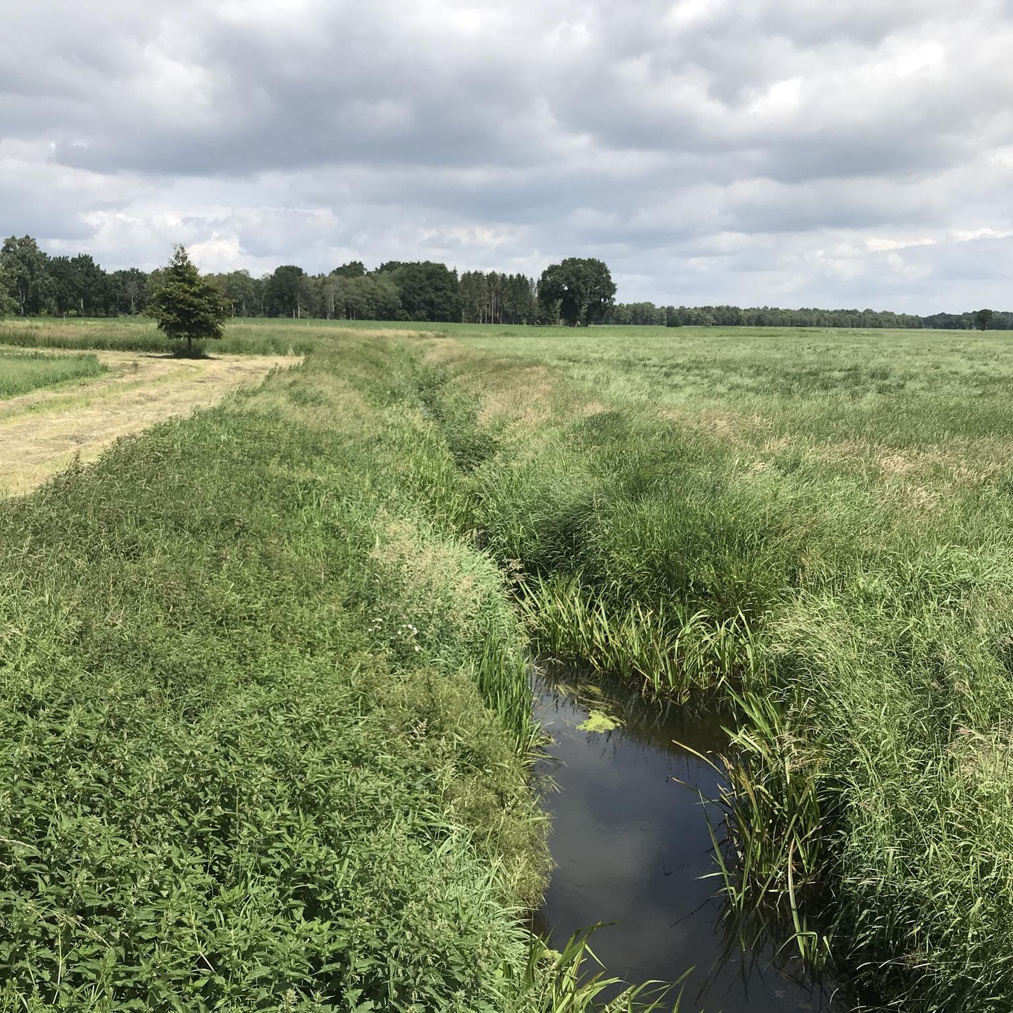
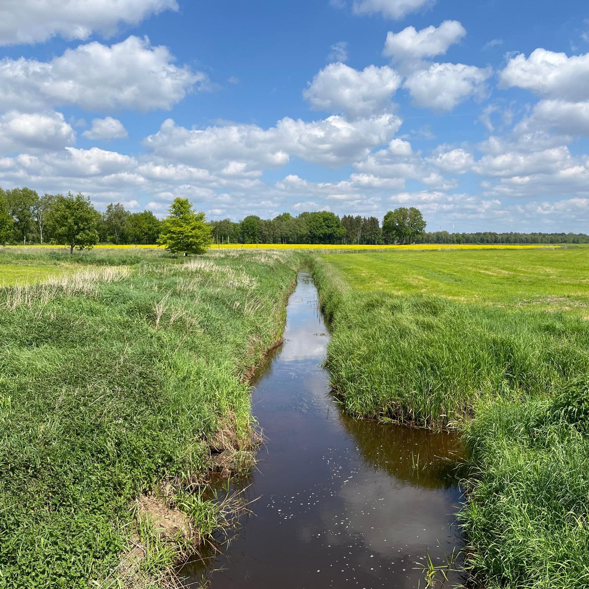
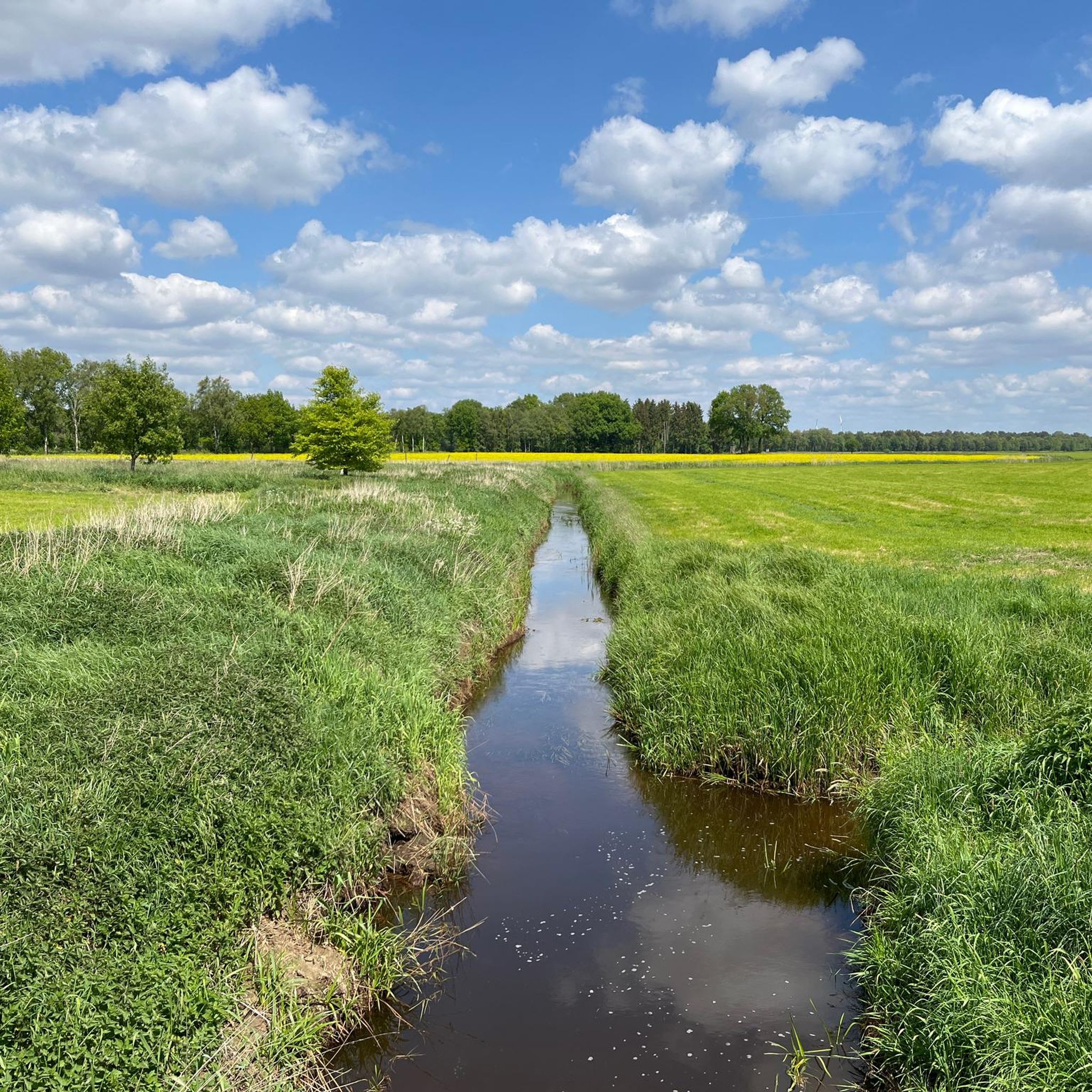
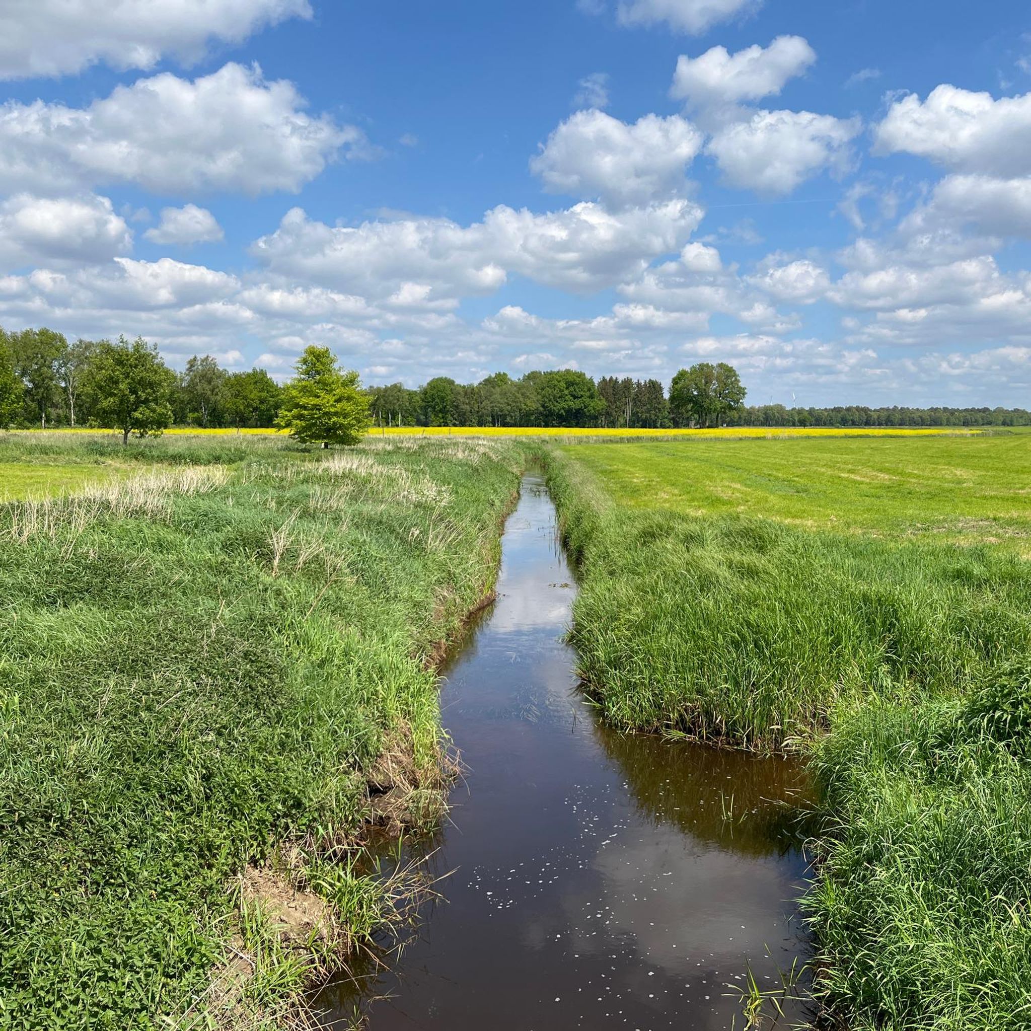
Road cycling routes around Anderlingen traverse a landscape characterized by gentle elevations and open fields. The region features several rivers, such as the Oste River, and includes picturesque village settings. Riders can expect routes that pass by local landmarks and offer views of the surrounding agricultural areas.
Best road cycling routes around Anderlingen
- The most popular road cycling route is View of the Oste River – Sandbostel Camp Memorial loop from Samtgemeinde Selsingen, a 20.7 miles (33.3 km) trail…
Last updated: October 18, 2026
28
riders
33.4km
01:36
90m
90m
Easy road ride. Great for any fitness level. Mostly well-paved surfaces and easy to ride.
14
riders
Easy road ride. Great for any fitness level. Mostly well-paved surfaces and easy to ride.

15
riders
28.3km
01:20
70m
70m
Moderate road ride. Great for any fitness level. Some segments of this route may be unpaved and difficult to ride.
5.0
(1)
18
riders
Easy road ride. Great for any fitness level. Mostly well-paved surfaces and easy to ride.
17
riders
32.2km
01:18
100m
100m
Moderate road ride. Great for any fitness level. Some segments of this route may be unpaved and difficult to ride.
Get access to more routes and recommendations from other explorers.
Already have an account?
Our route recommendations are based on thousands of hikes, rides, and runs completed by other people on komoot.
Start today with a free account
Your next adventure awaits.
Tips from the Community

The ice cream parlor is located at the corner of Alte Straße and Kirchenstraße in Bremervörde.
0
0
A great bike and hiking trail leads here to the church in Bargstedt. The church was built in 1801 and consecrated on September 21, 1802 by Mr. Pastor Kerstens. The church was initially without a tower and had a bell tower in the churchyard. A war memorial in the churchyard. The church tower, built in 1867, was demolished during the renovation in 1954/58 due to considerable defects. On December 14, 1958, the new tower with three bells was consecrated. Until 1972, several renovation works took place. In 1973, the church received a fourth bell. In 1993, a new community center was built and in 2008, the altar wall was redesigned. On September 5, 2010, the parish celebrated its 777th anniversary. The church is dedicated to St. Primus.
7
0
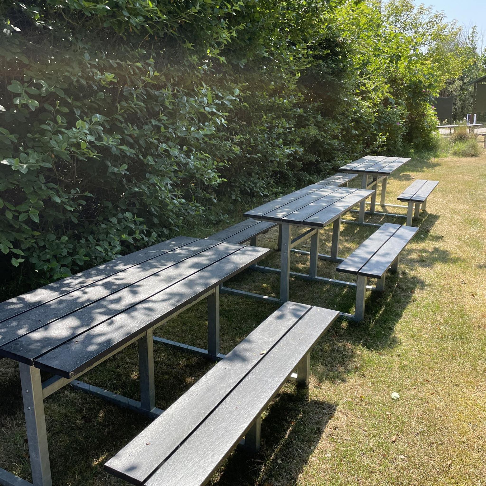
It's always beautiful to walk here 🤗. Whether as a hiker, stroller, or cyclist, it's beautiful here. Taking a seat on an offered bench is absolutely recommended. And just looking at the water and relaxing.
0
0
A beautiful little harbor is located in Bremervörde. A great cycling route and hiking trails lead along it, amidst beautiful nature and the harbor.
1
0

On the monastery route, cyclists pass by cultural and historical sites: Harsefeld Monastery, old military, trade and pilgrimage route, Reith Museum Barn, churches in Ahlerstedt and Bargstedt.
0
0
A small access point to the Oste River offers a good place for a short break during a bike tour or hike. It's also a good starting point for canoeists.
1
0
Lake Bremervörde 💙 is absolutely spectacular and highly recommended 👍🏻. Hiking and cycling tours are possible here, or you can simply enjoy a stroll. There are public restrooms at the campervan site. A restaurant, a snack bar, and a mini-golf course are available. The mini-golf course is located right next to the kiosk. There's also a boat rental and a very nice, interesting children's playground. On hot days, it's advisable to bring a change of clothes for the children. There are play areas with water features. You can learn a lot about nature here 💚 – it's beautiful. There are also plenty of seating areas available. Numerous benches surround the lake, so you can take a break at any time. Many events take place at Lake Bremervörde 💙. You can find information online. The Oste weir lock with its impressive bridge is also very interesting. Highly recommended.
5
0
A great little harbor in Bremervörde with very well-maintained facilities.
8
0
Frequently Asked Questions
How many road cycling routes are available in Anderlingen?
Anderlingen offers a wide selection of road cycling routes, with over 130 options available. These routes cater to various skill levels, from easy rides to more challenging excursions.
What kind of terrain can I expect on road cycling routes in Anderlingen?
Road cycling in Anderlingen is characterized by gentle elevations and open fields. Many routes follow the course of rivers like the Oste, offering scenic views of the surrounding agricultural areas and picturesque village settings. The terrain is generally flat to gently rolling.
Are there easy road cycling routes suitable for beginners in Anderlingen?
Yes, Anderlingen has numerous easy road cycling routes perfect for beginners. For instance, the View of the Oste River – Sandbostel Camp Memorial loop from Samtgemeinde Selsingen is an easy 20.7-mile (33.3 km) trail that follows the Oste River and passes historical sites, ideal for a relaxed ride.
Can I find long-distance road cycling routes in Anderlingen?
Yes, there are several longer road cycling routes for those seeking more distance. The Vörder Lake – Lake Vörder loop from Samtgemeinde Selsingen is a moderate 45.3-mile (72.9 km) route that provides an extended ride through the region's varied landscape.
Are there circular road cycling routes in Anderlingen?
Many of the road cycling routes in Anderlingen are designed as loops, allowing you to start and end at the same point. An example is the Village Square Breddorf – View over the fields loop from Anderlingen, a 40.7-mile (65.5 km) trail that takes you through open fields and past village squares.
What natural attractions can I see along road cycling routes in Anderlingen?
While cycling, you can encounter various natural attractions. Keep an eye out for the Braken und Harselah Nature Reserve, the tranquil Mergelkuhle Pond, or the scenic Aue Stream in the Aueniederung und Nebentäler Nature Reserve. The region's rivers and agricultural fields also offer expansive natural views.
Are there any historical or cultural landmarks to explore while road cycling?
Yes, Anderlingen and its surroundings feature several interesting landmarks. You might cycle past the historic Bademühlen Watermill, the Zeven Monastery and St. Viti Church Museum, or cross charming structures like the Wooden bridge over the Oste near Offensen.
What is the best time of year for road cycling in Anderlingen?
The spring and summer months (April to September) generally offer the most favorable conditions for road cycling in Anderlingen, with milder temperatures and longer daylight hours. Autumn can also be pleasant with colorful foliage, though cooler temperatures and increased chance of rain should be considered.
Are there road cycling routes with cafe stops or places to rest?
Many routes in Anderlingen pass through or near villages where you can find cafes or local eateries for a break. The Old Mill Selsingen – Heeslingen Church loop from Samtgemeinde Selsingen, for example, offers a mix of village scenery where you can expect to find opportunities for refreshment.
What do other road cyclists enjoy most about road cycling in Anderlingen?
The road cycling routes in Anderlingen are highly rated by the komoot community, with an average score of 4.5 stars from over 50 reviews. Riders often praise the gentle terrain, the peaceful river views, and the expansive agricultural fields that define the region's cycling experience.
Are there challenging road cycling routes for advanced riders?
While Anderlingen is known for its gentle terrain, there are routes that offer a more extended challenge. The region features one route classified as difficult, and over 100 routes are rated as moderate, providing longer distances and slightly more elevation gain for experienced cyclists. An example is the View of the Oste River – Godenstedt loop from Deinstedt, a moderate 32.5-mile (52.3 km) route.
Where can I find parking for road cycling routes in Anderlingen?
Parking is generally available in the starting villages or towns of the routes. For example, routes originating from Samtgemeinde Selsingen or Anderlingen typically have designated parking areas suitable for accessing the trails. It's advisable to check specific route details for precise parking information.
Most popular routes around Anderlingen
Most popular attractions around Anderlingen

Get inspired with the komoot mobile app


Explore more
Browse the best Road cycling routes in other regions.
