Top 5 Mountain Passes around Malijai
Best mountain passes around Malijai are found in the Alpes-de-Haute-Provence region, an area characterized by its elevated terrain and opportunities for significant climbs. The landscape features panoramic views over the Durance and Bléone valleys. This region offers various routes for active exploration of its natural environment.
Best mountain passes around Malijai
- The most popular mountain pass is Col de Puimichel, a mountain pass that offers quiet roads and views. It features an average gradient of 3.2% over 11 km. …
Last updated: June 26, 2026
Col d'Espinouse (838 m)
Highlight • Mountain Pass
Tip by

Col du Pas de Bonnet (886 m)
Highlight • Mountain Pass
The first part, up to the village …
Translated by Google •
Tip by

Sign up now to discover places like this
Get recommendations on the best single tracks, peaks, & plenty of other exciting outdoor places.
Sign up for free
L'Orme Pass
Highlight • Mountain Pass
Translated by Google •
Tip by
Col de Puimichel
Highlight • Mountain Pass
Translated by Google •
Tip by

View of the Durance Valley from the Collet de l'Escale
Highlight • Viewpoint
Translated by Google •
Tip by

Start today with a free account
Your next adventure awaits.
Login or Signup

Tips from the Community

climb suitable for everyone, with very gentle and regular slopes
0
0


The Col d'Espinouse peaks at 838m and has two very different sides. From Bras d'Asse, more than 10 km of climbing awaits you and be careful not to be fooled by its low average percentage because this pass has many passages at more than 7%, especially towards the end with the last 700 meters at 8% and above all this slope is very exposed to the wind which often blows very strongly. On the other side from the Chaffaut road the climb is around 3-4 km shorter, is not exposed to the wind but has a steep and regular gradient (6-7% on average and passages at 11%).
2
0
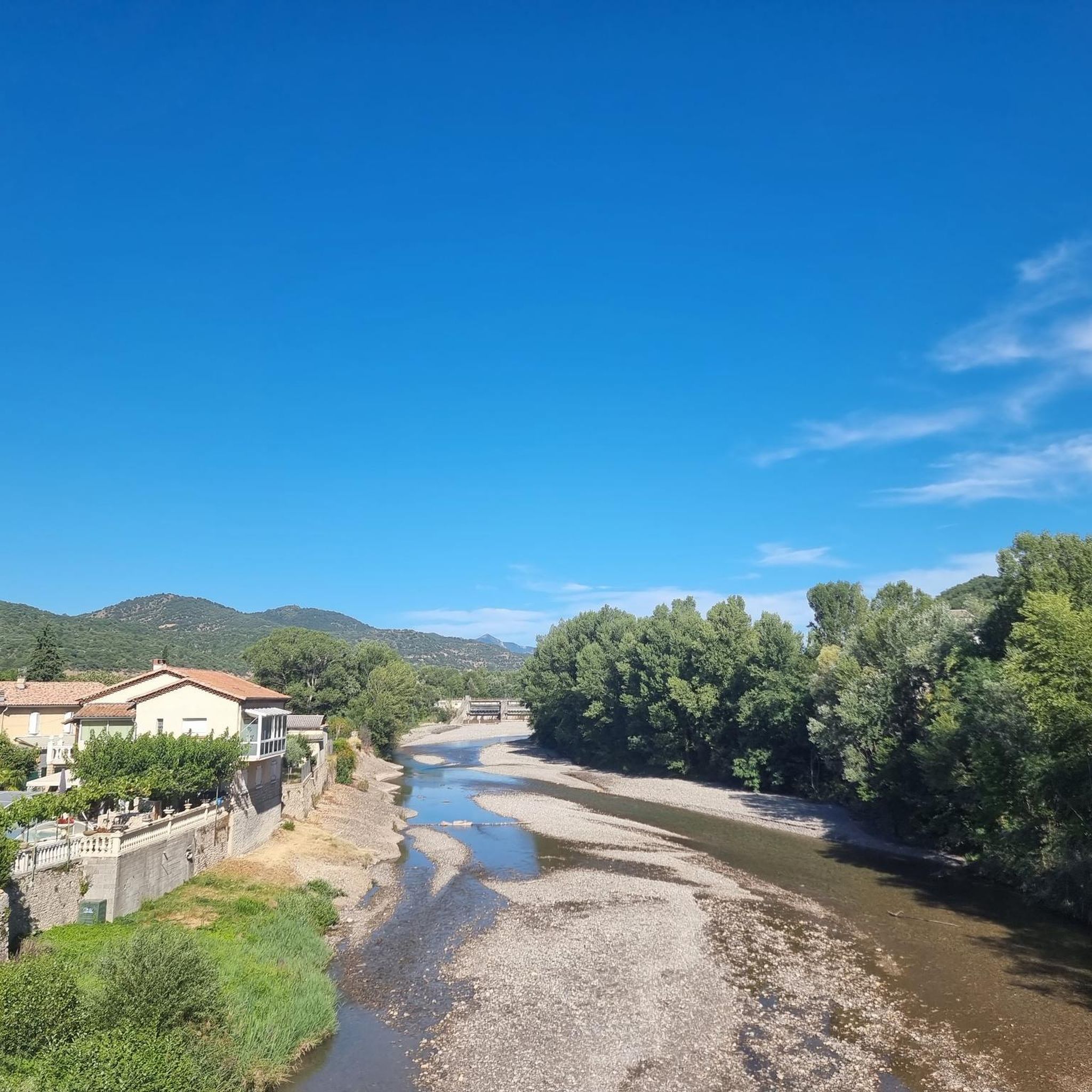
The Col de l'Orme peaks at 734m. This pass is really simple, especially from the baths despite its 9km climb. To put it simply, this pass has an average of not even 3%. The big downside is that it's a road pass located on the RN 85 and it's very busy so don't linger too long at the top, there's not much to see...
2
1
The Pas de Bonnet culminates at an altitude of 886 meters. From Digne-les-Bains, the longest slope awaits you with 7 kilometers of climbing. The first part, up to the village of Champtercier, is the most complicated even if the slope does not exceed an average of 5.5%. You will still be entitled to a small section of 100 meters just before Champtercier at almost 10%, which is an injection. The second part is simpler and more regular, the slope barely exceeding 6%.
4
0

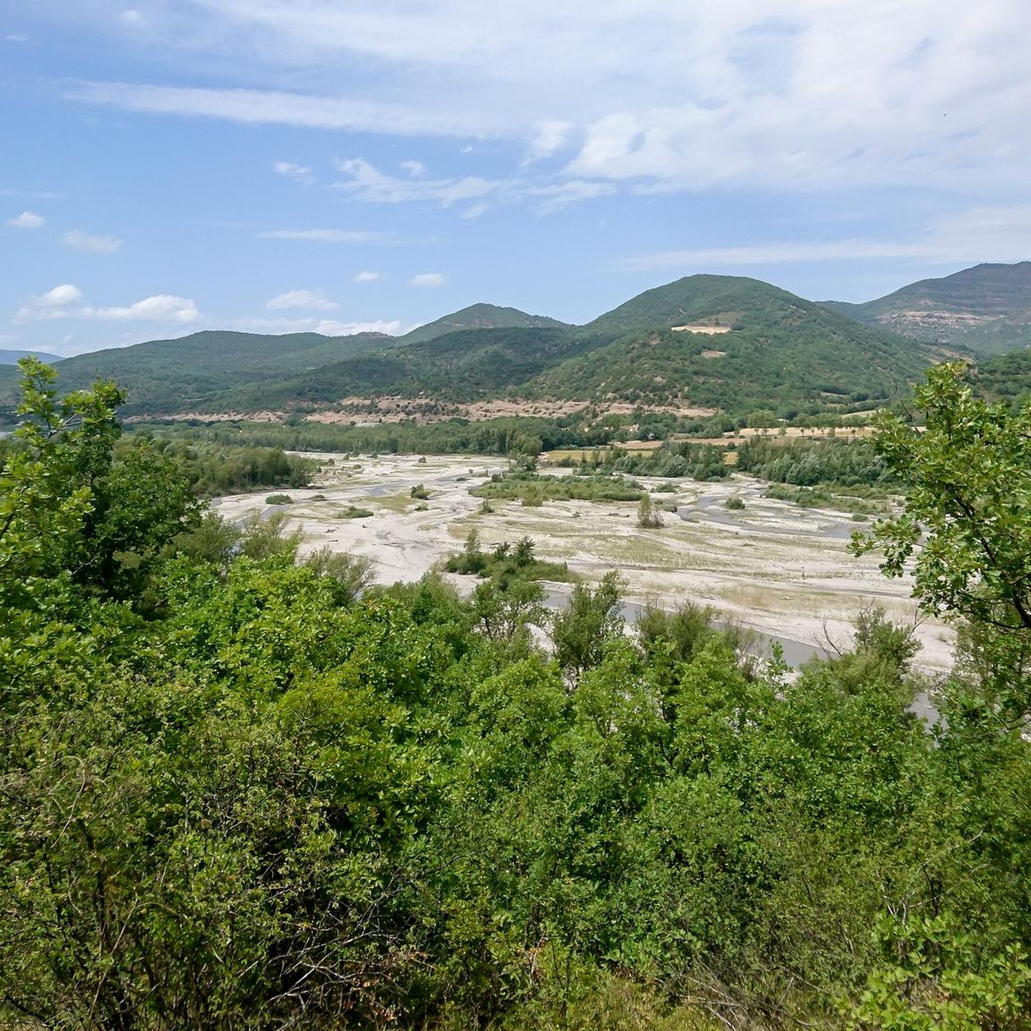
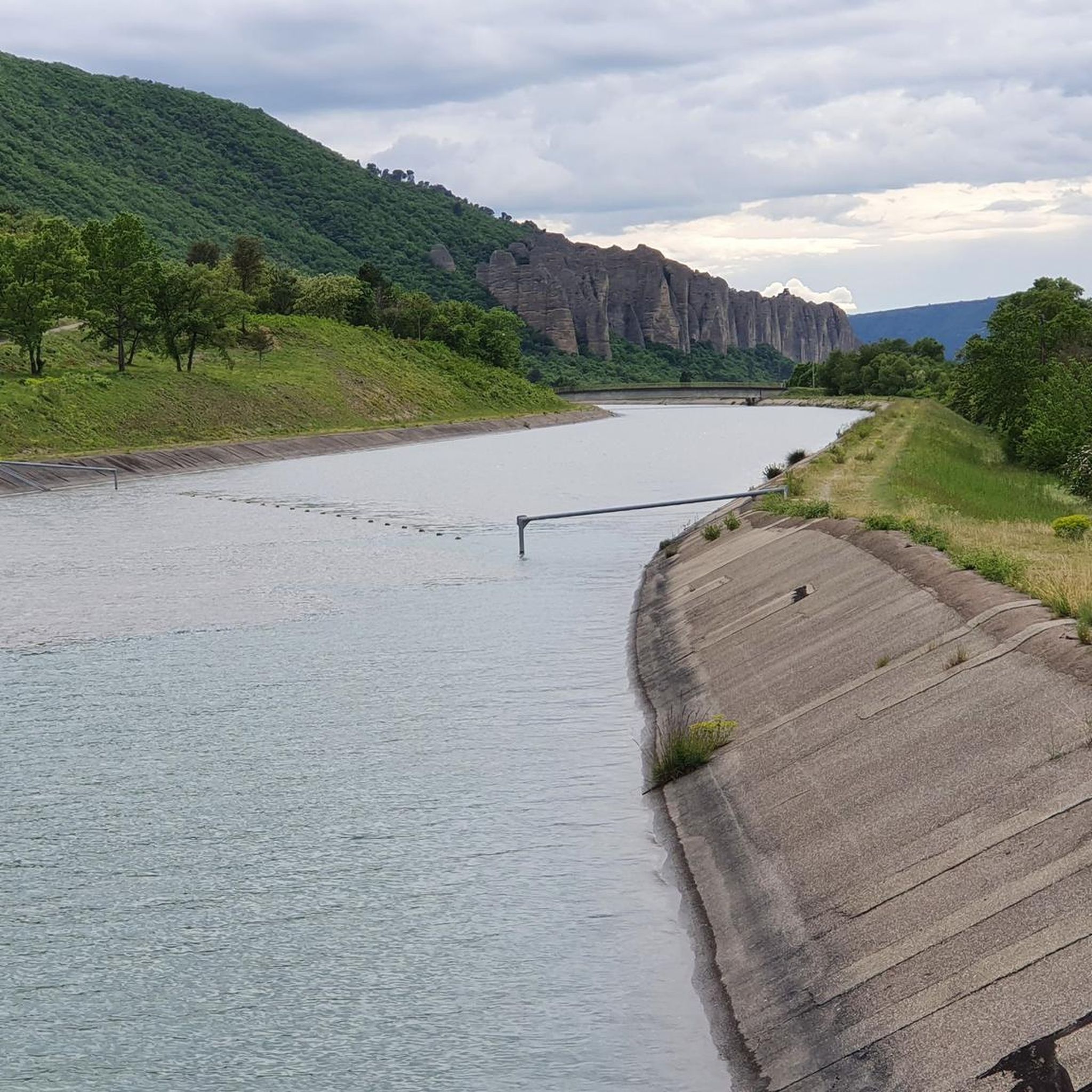
From this small pass, you have a very beautiful view, and your first glimpse of the Durance valley.
0
0

From Bras d'Asse, a beautiful, very calm climb far from the traffic to switch into a spectacular descent.
1
0

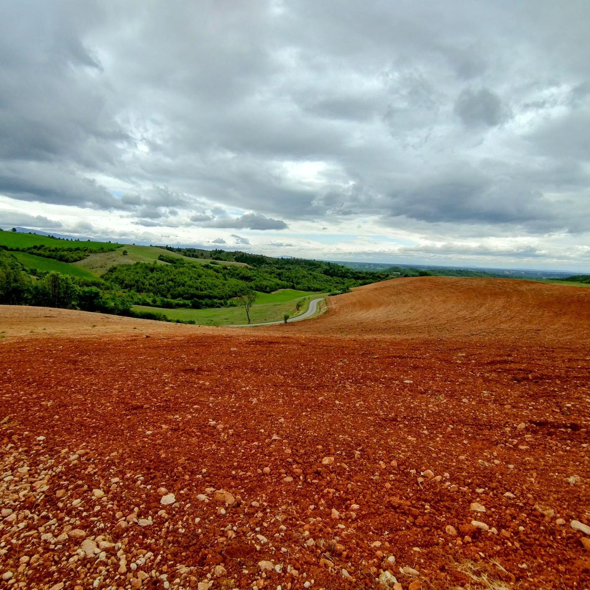
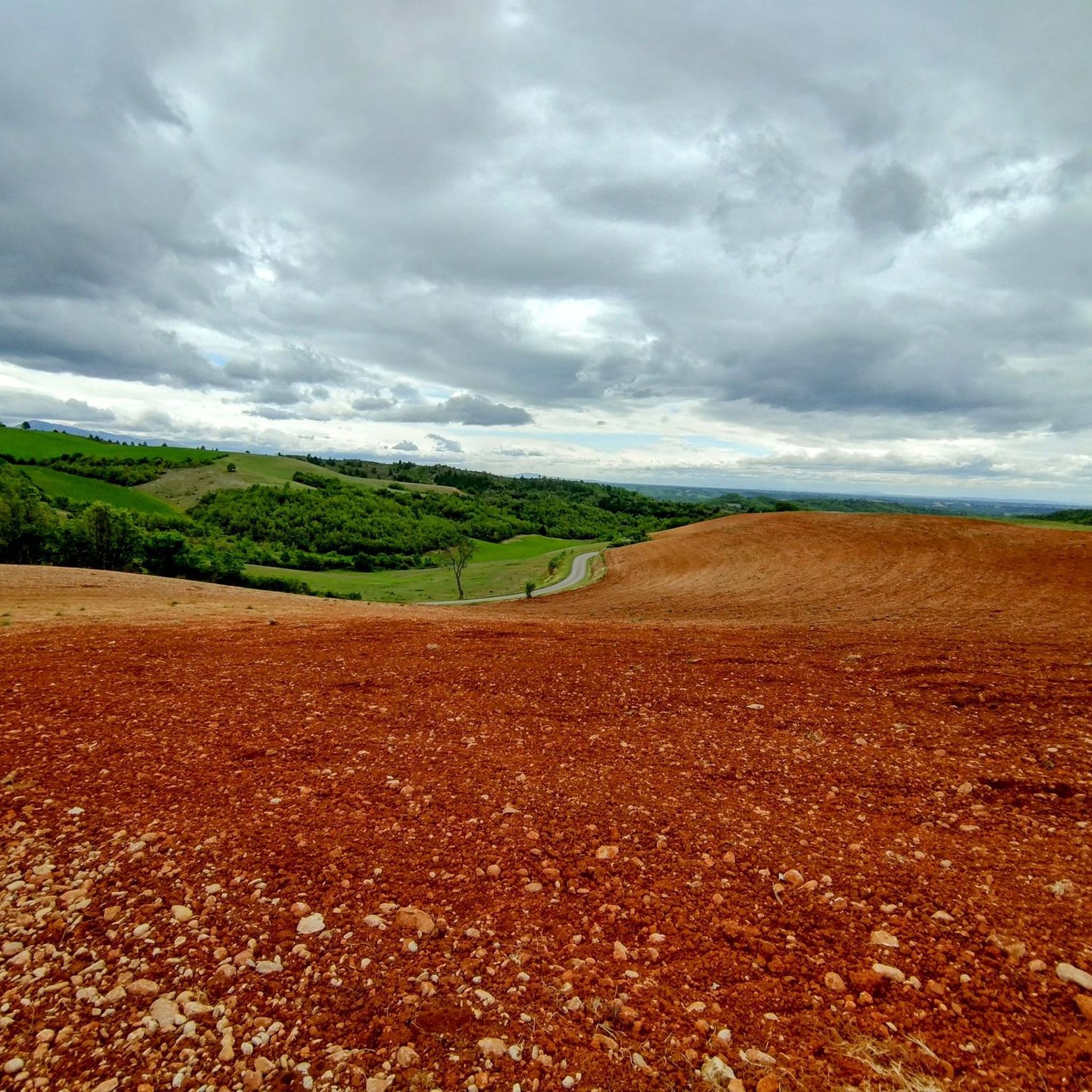
The Col de Puimichel from Le Castellet is 11km long with an average gradient of 3.2%. The maximum gradient is 8%, towards the middle of the climb.
2
0
Frequently Asked Questions
What types of mountain passes can I explore around Malijai?
Around Malijai, you'll find a mix of traditional mountain passes suitable for cycling and driving, as well as elevated hiking routes that offer significant climbs and panoramic views. The region is characterized by its elevated terrain, providing opportunities for various outdoor activities.
Which mountain passes offer the best views of the Durance and Bléone valleys?
For expansive views, the Col de Puimichel is known for its beautiful, unobstructed vistas. Additionally, the View of the Durance Valley from the Collet de l'Escale provides a stunning first glimpse of the Durance valley. The hiking route known as the Pourachère Circuit also rewards hikers with clear views over the entire Durance valley upon reaching its crest.
Are there challenging mountain passes for experienced cyclists?
Yes, for experienced cyclists, the Col d'Espinouse (838 m) offers a challenge with sections exceeding 7% incline, particularly near the summit. Its two distinct sides provide varied climbing experiences. The Col du Pas de Bonnet (886 m) also presents a good challenge, with its climb from Digne-les-Bains spanning 7 kilometers and an average gradient of 4.5%.
What are some popular hiking routes near Malijai that offer mountain pass-like experiences?
While not traditional passes, the **Pourachère Circuit** is a popular hiking route starting from Malijai, covering 11.9 km with an elevation gain of 510 meters, offering expansive views. Another notable route is the **Chemin de Puimichel**, which follows old paths to the Puimichel plateau, providing beautiful views of the Bléone and Durance rivers. You can find more details about the Pourachère Circuit on the local tourism website: Pourachère Circuit.
Are there any easy or less strenuous mountain passes to explore?
The L'Orme Pass is considered relatively simple, especially when climbing from the baths, with an average gradient of less than 3% over 9 km. However, it is located on a busy road (RN 85), so it's best for those who don't mind traffic.
What outdoor activities can I do near these mountain passes?
The area around Malijai is excellent for various outdoor activities. You can find numerous options for gravel biking, mountain biking, and road cycling. Many routes incorporate the region's elevated terrain and offer scenic views.
What do visitors enjoy most about the mountain passes around Malijai?
Visitors particularly appreciate the quiet roads and beautiful views offered by passes like Col de Puimichel. The opportunities for significant climbs and the diverse trails for hiking and cycling are also highly valued by the komoot community.
Are there specific routes for mountain biking near Malijai's passes?
Yes, there are dedicated mountain biking trails. For example, you can explore routes like the 'Pénitents des Mées Trail – Volonne Village Center loop' or the 'La Pourachère Summit – Malijai loop'. More information on these and other trails can be found in the MTB Trails around Malijai guide.
Can I find road cycling routes that include these mountain passes?
Absolutely. The region is popular for road cycling, with routes such as 'The Penitents of Les Mées – Col d'Espinouse (838 m) loop' and 'Rock formation – Digne les Bains swimming pool loop'. These routes allow you to experience the climbs and descents of the local passes. Check out the Road Cycling Routes around Malijai guide for more options.
What is the difficulty level of the Pourachère Circuit hiking route?
The Pourachère Circuit is considered a difficult hiking route. It involves an elevation gain of 510 meters over 11.9 km and typically takes about 3 hours to complete. The path largely traverses forests and tracks, making it a challenging but rewarding experience.
What can I expect when hiking the Chemin de Puimichel?
The Chemin de Puimichel is a moderate hike that follows old paths connecting Malijai to the Puimichel plateau. It's known for its lavender fields (seasonal), alternating shade from oaks, and beautiful views of the Bléone and Durance valleys. The route leads to a ridge and balcony path, and 91% of travelers have rated it as 'Excellent'.
Are there any mountain passes that are particularly quiet or less trafficked?
The Col de Puimichel is noted for its quiet roads and little traffic, making it an enjoyable experience for those seeking tranquility while cycling or driving through the pass.
Most popular routes around Malijai
Most popular attractions around Malijai

Get inspired with the komoot mobile app


Explore more
See even more epic mountain passes by checking out these guides around Malijai:
