The best running trails around Seelisberg
4.4
(161)
5,955
runners
245
runs
Jogging around Seelisberg offers diverse terrain, from high-altitude plateaus to tranquil forests and deep gorges. The region is characterized by panoramic views of Lake Lucerne and the surrounding mountains, providing varied backdrops for running. Trails range from mostly paved surfaces suitable for all abilities to more challenging routes with significant elevation gains. This network of running routes allows for exploration of natural features like Bergseeli and the historic Rütli meadow.
Best jogging routes around Seelisberg
- The most popular jogging route…
Last updated: June 24, 2026
4.0
(4)
54
runners
6.36km
00:45
210m
210m
Moderate run. Good fitness required. Mostly paved surfaces. Suitable for all skill levels.
3.0
(1)
24
runners
9.68km
01:15
370m
370m
Hard run. Very good fitness required. Sure-footedness, sturdy shoes and alpine experience required.

Sign up for free
5.0
(4)
46
runners
12.6km
01:33
440m
440m
Hard run. Very good fitness required. Mostly paved surfaces. Suitable for all skill levels.
16
runners
5.10km
00:33
60m
60m
Moderate run. Good fitness required. Mostly paved surfaces. Suitable for all skill levels.
13
runners
14.3km
02:09
710m
710m
Hard run. Very good fitness required. Sure-footedness, sturdy shoes and alpine experience required.
Get access to more routes and recommendations from other explorers.
Sign up for free
Already have an account?
Our route recommendations are based on thousands of hikes, rides, and runs completed by other people on komoot.
Start today with a free account
Your next adventure awaits.
Login or Signup
Popular around Seelisberg

Trans Swiss Trail – Hiking across Switzerland
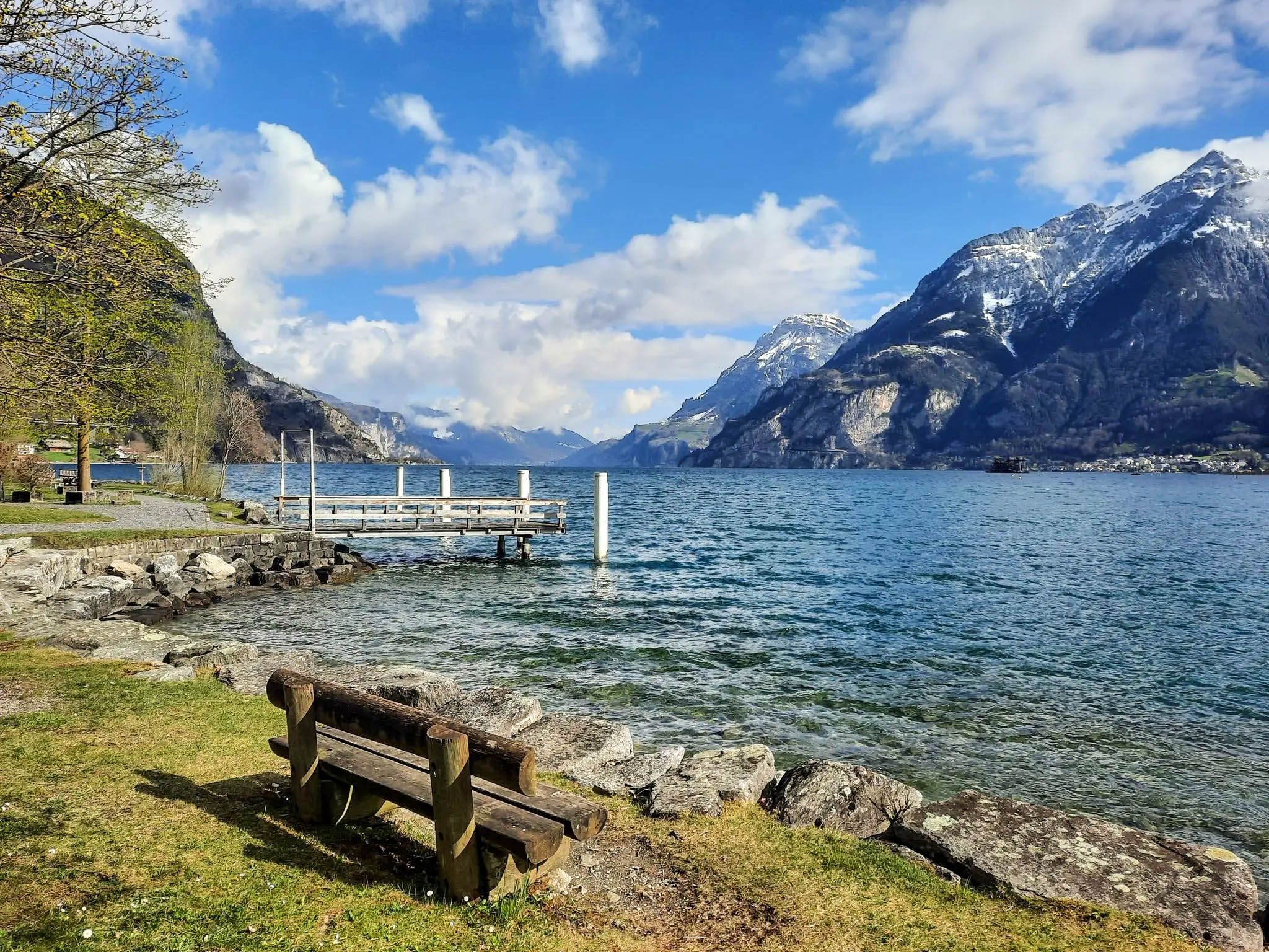
Hike amid the history of the Swiss Confederation – Swiss Path
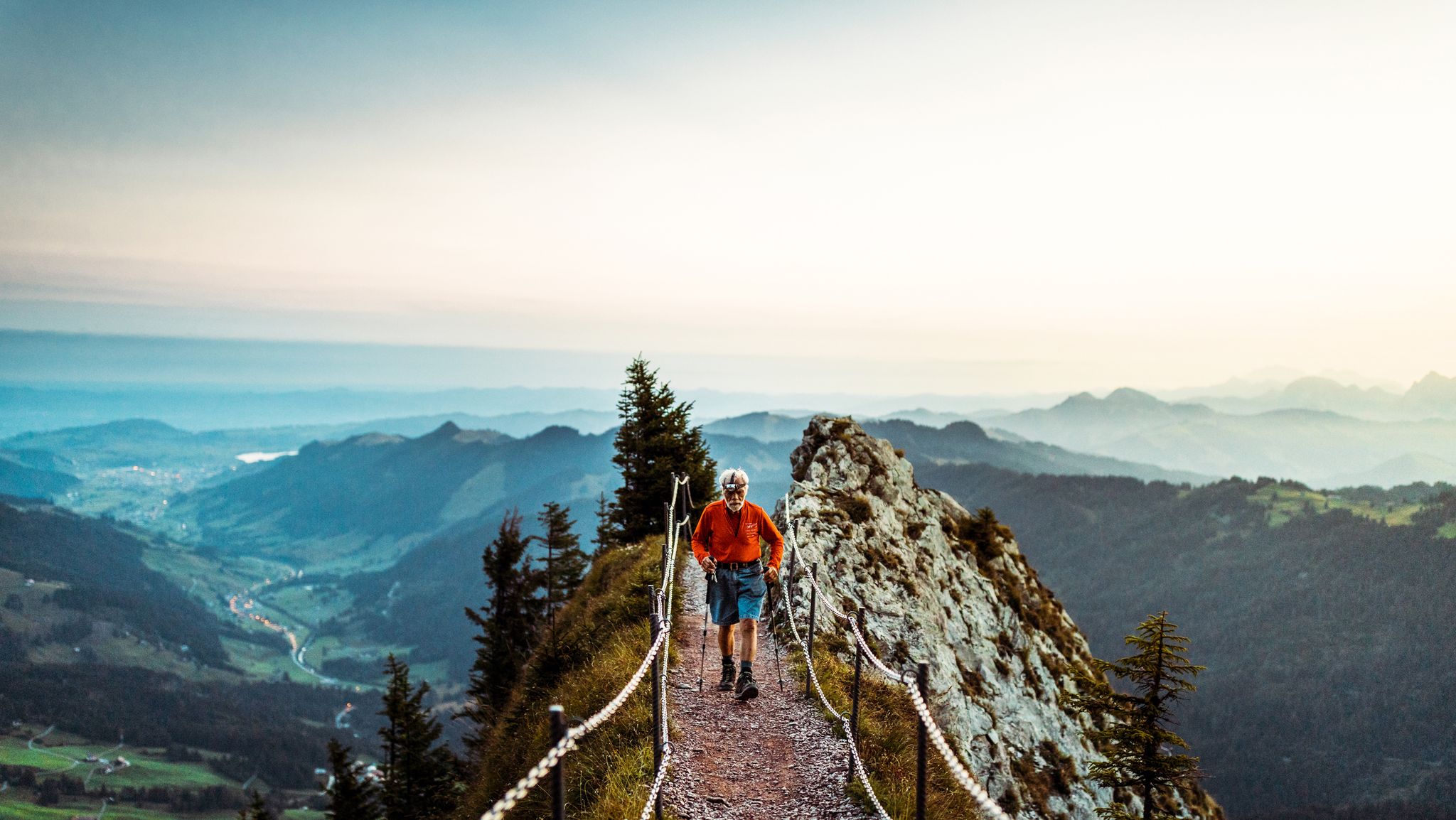
Lucerne — The Myth-man
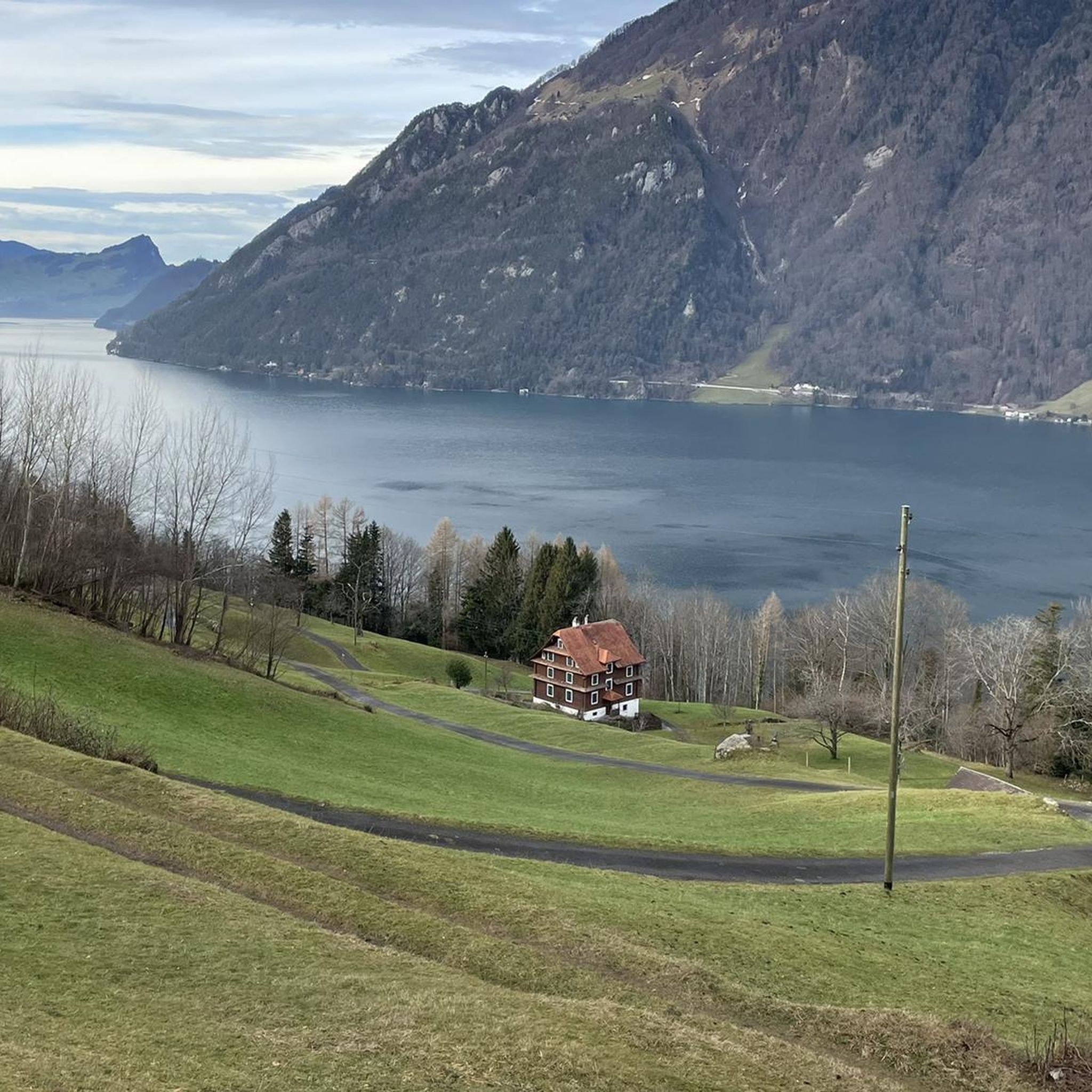
Hiking around Seelisberg
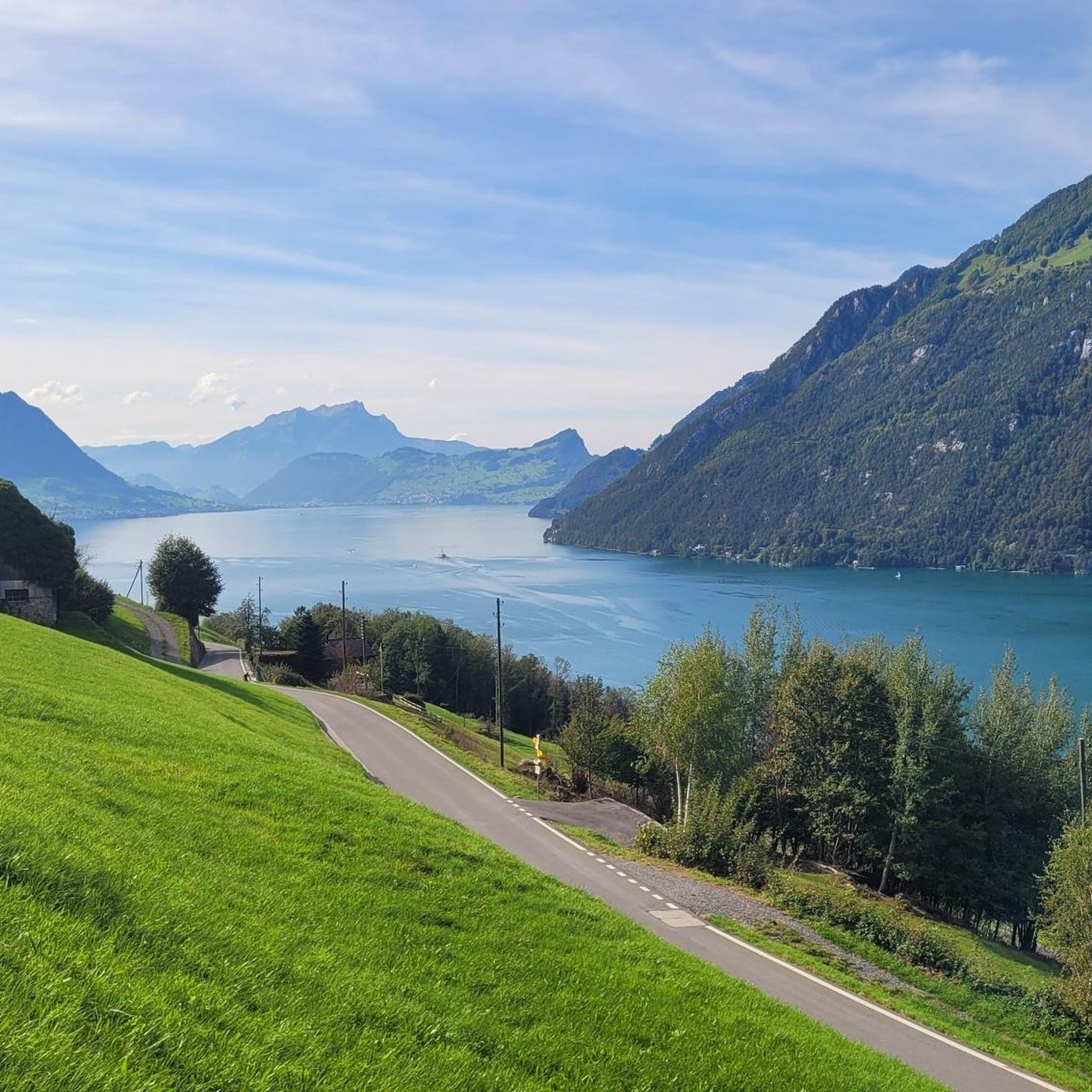
MTB Trails around Seelisberg
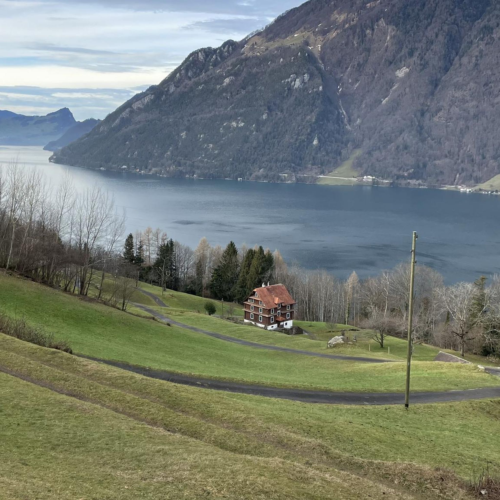
Cycling around Seelisberg
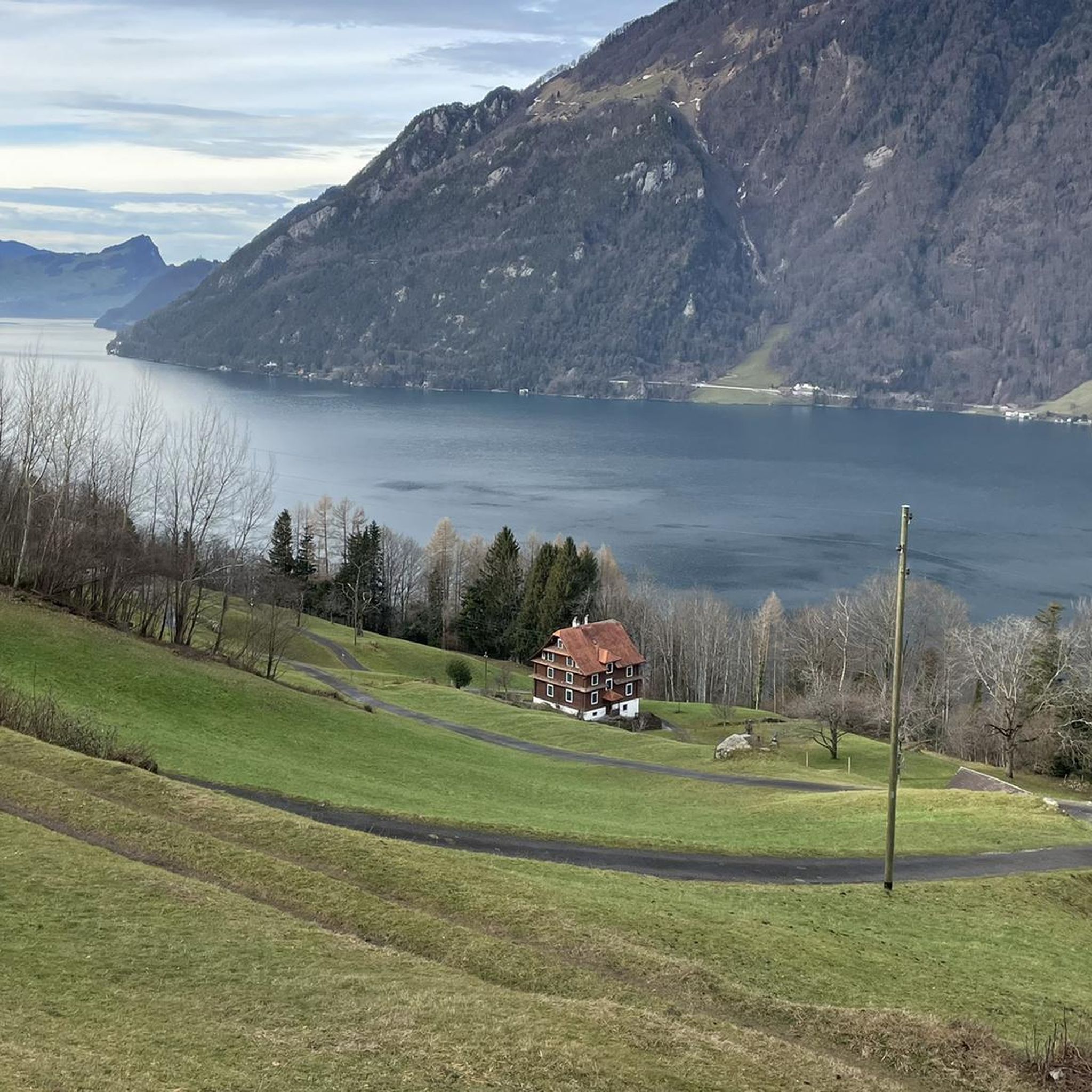
Road Cycling Routes around Seelisberg
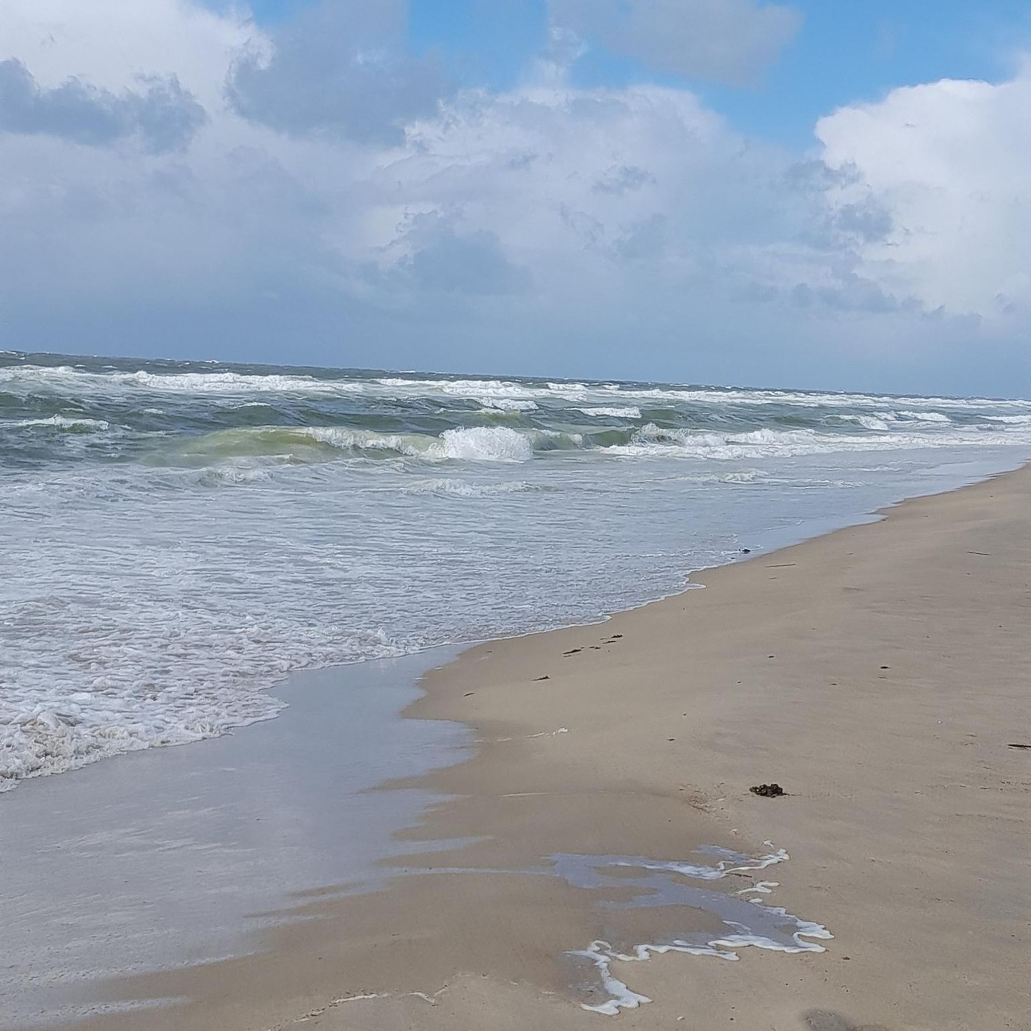
Gravel biking around Seelisberg
Mountain Hikes around Seelisberg


Tips from the Community

The Hotel Sonnenberg was owned by Maharishi Mahesh Yogi's Transcendental Meditation movement since 1972 and was purchased by the Swiss family business Halter in 2025 for comprehensive renovation. The site, at an elevation of 800 meters and 400 meters above the Rütli meadow, the birthplace of the Swiss Confederation on Lake Lucerne, is unparalleled in the world.
0
0


Easily doable with sneakers. It took me 1 hour and 10 minutes.
1
0

From here you have an impressive view over Lake Uri into the valley basin of Schwyz and the Rütli.
2
0

What a great lake and a beautiful landscape ⛰️
2
0

A fantastic view 🤩⛰️ what a dreamlike landscape
3
0

In the picture Seelisberg, Schillerstein and the steamer Gallia
2
0

Frequently Asked Questions
What kind of terrain and difficulty can I expect on running routes around Seelisberg?
Seelisberg offers a wide variety of terrain for runners, from mostly paved surfaces suitable for all abilities to more challenging routes with significant elevation gains. You'll find paths through high-altitude plateaus, tranquil forests, and deep gorges. The region has a good mix of easy, moderate, and difficult routes, with over 250 running routes in total.
Are there running routes in Seelisberg that feature waterfalls or other natural attractions?
Yes, you can find routes that lead to impressive natural features. For example, the Risleten Gorge Waterfall loop from Seelisberg is a challenging 14 km route that takes you past the beautiful Risleten Waterfall. The area also boasts the crystal-clear Bergseeli (mountain lake) and diverse landscapes including the Risletenschlucht gorge.
What are some scenic viewpoints or landmarks I can discover while jogging in Seelisberg?
Many running routes in Seelisberg offer breathtaking panoramic views of Lake Lucerne and the surrounding mountains. A notable route is the Marienhöhe Viewpoint – Höch Flue viewpoint loop from Seelisberg, which provides stunning vistas including the Rütli meadow and the Mythen mountains. You can also find the historic Rütli meadow itself, known as the 'cradle of Switzerland', accessible via scenic trails.
Are there family-friendly running routes in Seelisberg?
While many routes in Seelisberg involve elevation, there are options suitable for families looking for easier runs. The region offers 26 easy routes, which are generally shorter and have less elevation gain. The Bergseeli area, with its natural swimming area and playground, could be a pleasant destination for a family-oriented run or walk.
Can I bring my dog on the running trails in Seelisberg?
Generally, dogs are welcome on trails in the Seelisberg region. However, it's always advisable to keep your dog on a leash, especially in nature reserves, agricultural areas, or where wildlife might be present. Always be mindful of local regulations and other trail users.
What is the best time of year to go jogging in Seelisberg?
The spring, summer, and autumn months are ideal for jogging in Seelisberg, offering pleasant temperatures and vibrant scenery. During these seasons, you can fully enjoy the panoramic views and diverse landscapes. While winter jogging is possible, some higher-altitude or less-maintained trails might be covered in snow or ice, requiring appropriate gear and caution.
Are there any shorter, easier running loops available in the Seelisberg area?
Yes, for those looking for a quicker or less strenuous run, there are several options. The Running loop from Brunnen is a moderate 5.1 km trail that can be completed in about 32 minutes, offering scenic surroundings without excessive elevation.
How can I reach the running routes in Seelisberg using public transport?
Seelisberg is accessible by public transport. The historic Treib-Seelisberg Funicular Railway provides a scenic ascent to the village from Treib, which is reachable by boat across Lake Lucerne or by bus. Once in Seelisberg, many running routes start directly from the village or are easily accessible on foot from the funicular station.
Is parking available near the running trails in Seelisberg?
Yes, parking is generally available in and around Seelisberg, particularly near the village center or at popular trailheads. It's recommended to check local signage for specific parking regulations and fees. Some routes, like those starting from Morschach, will have parking options in those respective villages.
What do other runners say about the jogging experience in Seelisberg?
The running routes in Seelisberg are highly rated by the komoot community, with an average score of 4.45 stars from over 160 reviews. More than 6,000 runners have used komoot to explore the varied terrain, often praising the breathtaking panoramic views of Lake Lucerne and the diverse natural features like forests and gorges.
Are there any long-distance running options for experienced runners in Seelisberg?
Absolutely. For experienced runners seeking a challenge, Seelisberg offers several difficult routes with significant distances and elevation gains. The View of Lake Lucerne – View of Schwyzerhöhe loop from Morschach is a demanding 12.6 km trail with over 440 meters of ascent, providing expansive views. Another challenging option is the Running loop from Morschach, which covers 10.9 km with over 685 meters of elevation.
Can I find circular running routes in Seelisberg?
Yes, many of the running routes in Seelisberg are designed as circular loops, allowing you to start and end at the same point without retracing your steps. This is ideal for exploring the diverse landscapes and viewpoints. Examples include the Marienhöhe Viewpoint – Höch Flue viewpoint loop from Seelisberg and the Risleten Gorge Waterfall loop from Seelisberg.
Most popular routes around Seelisberg
Most popular attractions around Seelisberg

Get inspired with the komoot mobile app


Explore more
Browse the best Running Trails & Routes in other regions.
