The best running trails around Hospental
4.5
(30)
1,351
runners
55
runs
Jogging routes around Hospental traverse a landscape characterized by alpine valleys, rolling hills, and the Reuss River. The region features a mix of open meadows, forested areas, and paths alongside natural reserves. Elevation changes are present, ranging from gentle inclines to more challenging ascents. The terrain provides varied surfaces suitable for different running preferences.
Best jogging routes around Hospental
- The most popular jogging route is Naturschutzgebiet loop from Andermatt, a 4.5 miles (7.2 km) trail that takes 50 minutes…
Last updated: October 10, 2026
3.3
(3)
129
runners
Moderate run. Good fitness required. Mostly paved surfaces. Suitable for all skill levels.
4.6
(5)
110
runners
7.31km
00:51
90m
90m
Moderate run. Good fitness required. Mostly paved surfaces. Suitable for all skill levels.

5.0
(3)
84
runners
16.0km
01:50
140m
140m
Hard run. Very good fitness required. Mostly paved surfaces. Suitable for all skill levels.
5.0
(3)
65
runners
8.38km
01:05
200m
200m
Hard run. Good fitness required. Sure-footedness, sturdy shoes and alpine experience required.
4.0
(1)
80
runners
9.42km
01:00
50m
50m
Moderate run. Good fitness required. Mostly paved surfaces. Suitable for all skill levels.
Get access to more routes and recommendations from other explorers.
Already have an account?
Our route recommendations are based on thousands of hikes, rides, and runs completed by other people on komoot.
Start today with a free account
Your next adventure awaits.
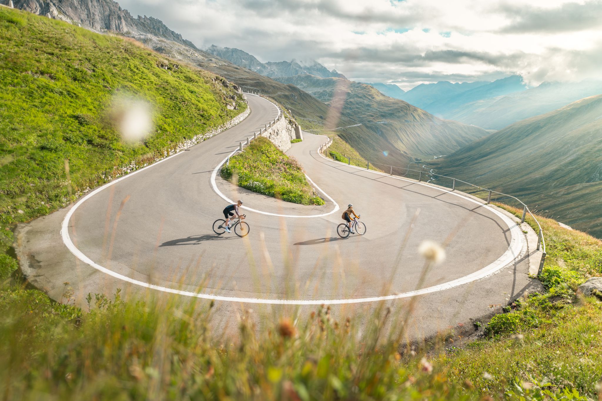
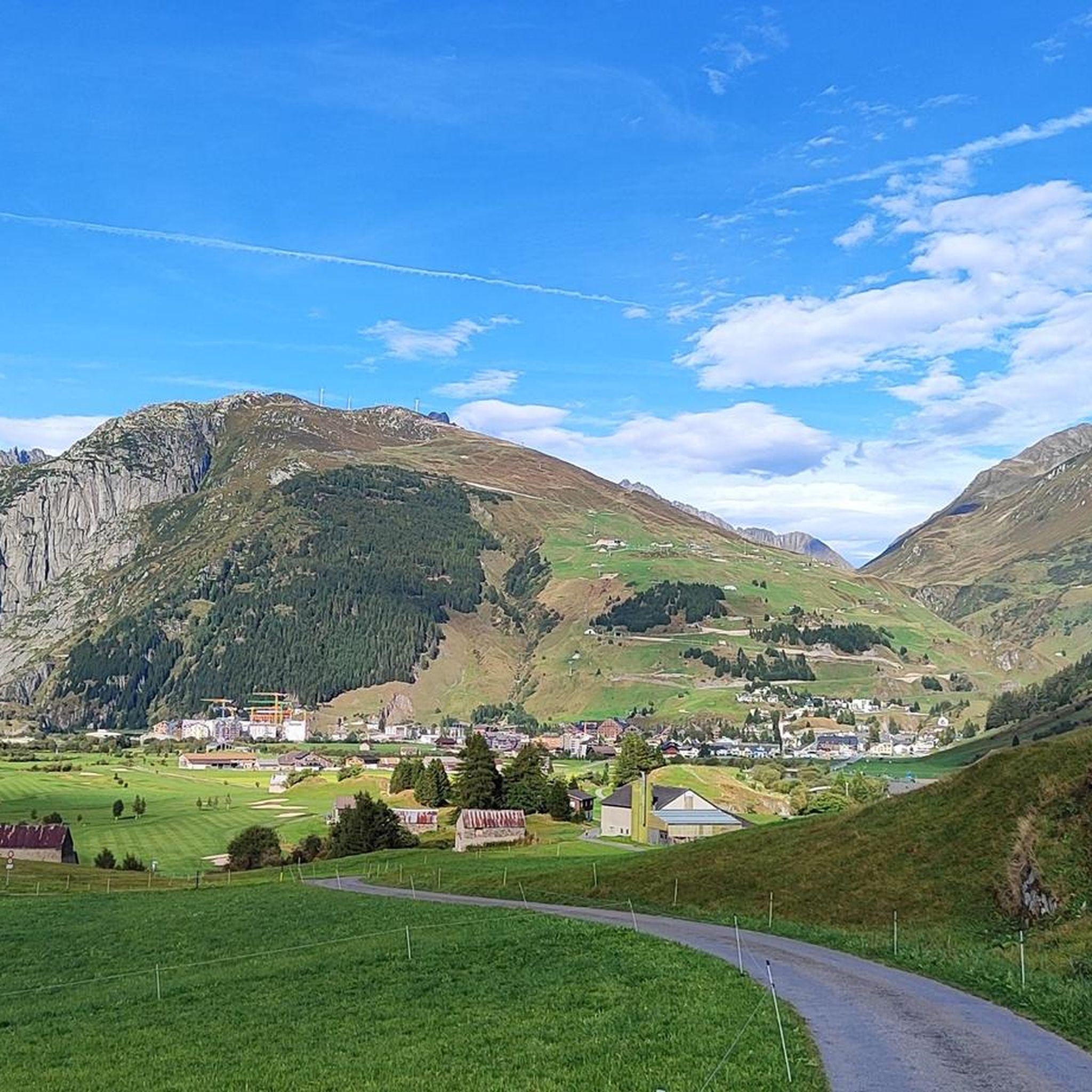
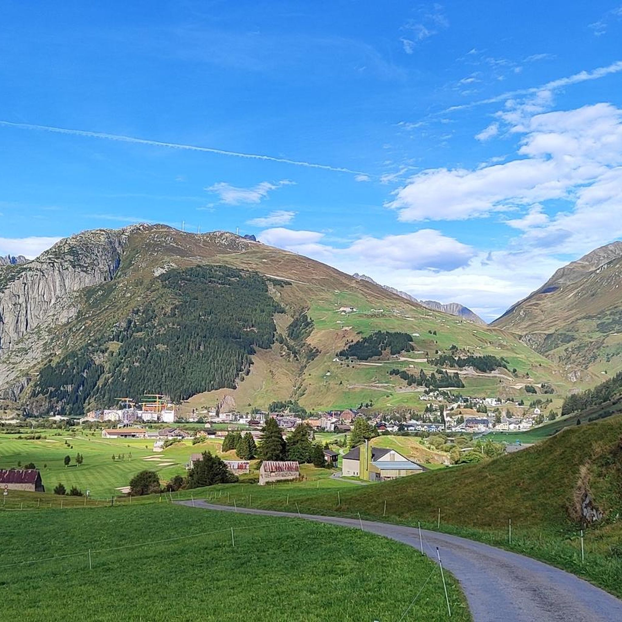
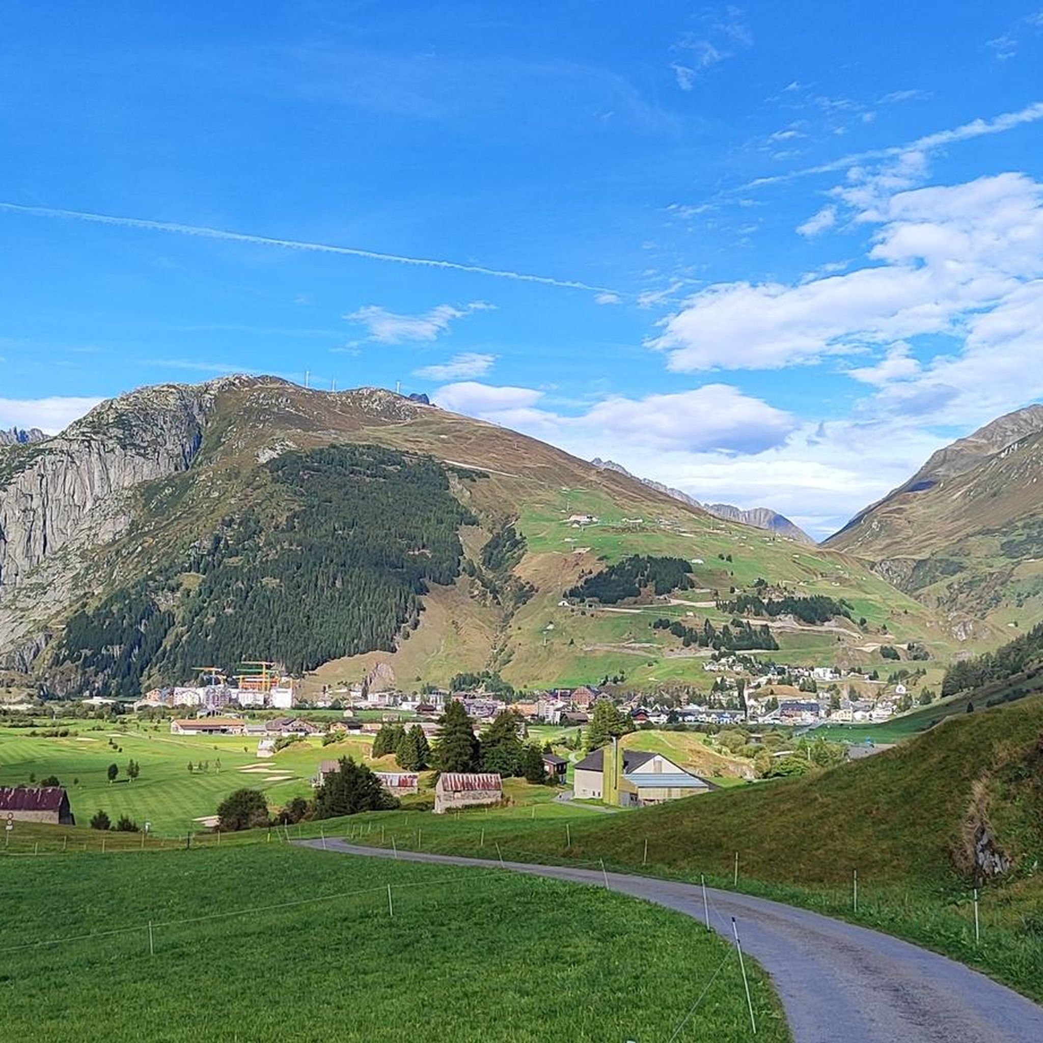

Other adventures around Hospental

Tips from the Community

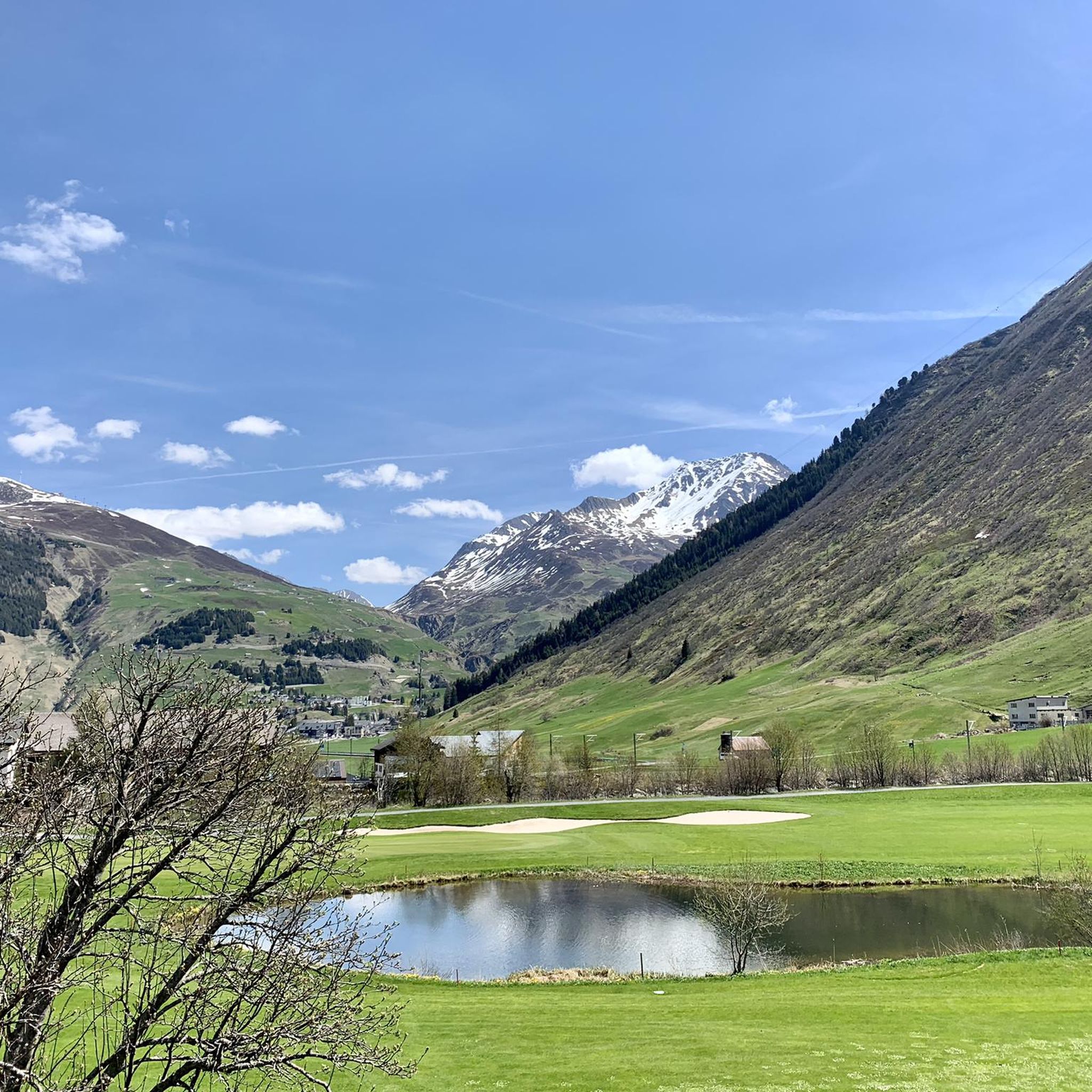
The view of the valley, the golf greens, and Andermatt is worth stopping and contemplating.
5
0

Beautiful waterfall, whose calming rush you can hear from afar. If you get close enough, you'll get some of the spray - perfect for hot summer days! 💦
0
0
On the Molly Trail, big and small explorers discover Molly's favorite places. Along the way, you'll also find fantastic nature and many beautiful resting spots.
0
0

The Hotel Sonne is a real gem, both inside and out. In the old village center of Andermatt, the beautiful old wooden house invites you to put your feet up after a long day on the trail. In the bike room, you can park your bike until your next outing, and in the rustic restaurant or on the summer terrace, you can refuel with carbohydrates for the next meters of altitude. The hotel has 22 rooms and three stars. More information can be found here: https://www.myswitzerland.com/de-ch/unterkuenfte/sonne-andermatt-swiss-quality-hotel/.
1
0

Starting point for cycling and hiking tours with seating, bicycle service station and sculpture "Ursern - The Valley of the Three Passes".
0
0

The train journey between Disentis and Andermatt should definitely be included in any trip.
0
0

Very nice, modern center. Opportunities for breaks or shopping are available.
0
0

Andermatt train station is also the starting point for hikes to the Devil's Bridge and Schöllen Gorge, among others. But other destinations are also accessible from here.
0
0
Frequently Asked Questions
How many running routes are available around Hospental?
Hospental offers a wide variety of running experiences, with over 50 routes available. These range from easy jogs to more challenging trails, catering to different fitness levels.
Are there easy running routes suitable for beginners in Hospental?
Yes, Hospental has several easy running routes perfect for beginners. For instance, the Running loop from Andermatt is an easy 4.7 km (2.9 miles) trail with minimal elevation gain, ideal for a gentle introduction to running in the area.
What is the typical length of running routes around Hospental?
The running routes in Hospental vary significantly in length. You can find shorter loops like the Naturschutzgebiet loop from Andermatt at 7.2 km (4.5 miles), up to longer, more demanding trails such as the Path to Realp loop from Realp, which spans 16.0 km (9.9 miles).
Are there circular running routes in Hospental?
Many of the running trails around Hospental are circular, offering convenient starting and ending points. An example is the Naturschutzgebiet loop from Hospental, a moderate 9.5 km (5.9 miles) route that brings you back to your starting point.
When is the best time of year to go running in Hospental?
The best time for running in Hospental is typically from late spring to early autumn (May to October). During these months, the weather is generally mild, and trails are clear of snow, offering optimal conditions to enjoy the alpine scenery.
What kind of natural attractions can I see along the running routes?
Running routes in Hospental often feature stunning natural attractions. For example, the Mariahilf Chapel Andermatt – Gurschenbachfall loop from Andermatt takes you past a beautiful waterfall. The region is also characterized by alpine valleys, the Reuss River, and nature reserves.
Are there any interesting landmarks or viewpoints along the running trails?
Yes, the area around Hospental is rich in landmarks and offers numerous viewpoints. While running, you might encounter historical sites or enjoy panoramic views of the surrounding mountains. Notable nearby highlights include the Furka Pass and the Oberalp Pass, which offer spectacular vistas.
Can I access running trails in Hospental using public transport?
Hospental is well-connected by public transport, making many running trails accessible without a car. The village itself has a train station, and bus services operate in the region, allowing you to reach various trailheads conveniently.
Are dogs allowed on the running trails in Hospental?
Generally, dogs are welcome on running trails in the Hospental region. However, it's always recommended to keep them on a leash, especially in nature reserves, agricultural areas, or near livestock, to ensure the safety and comfort of all trail users and local wildlife.
What do other runners enjoy most about jogging in Hospental?
The running routes in Hospental are highly rated by the komoot community, with an average score of 4.2 stars from over 20 reviews. Runners frequently praise the diverse alpine scenery, the well-maintained paths, and the variety of routes suitable for different skill levels, from gentle river paths to more challenging mountain ascents.
Are there running routes in Hospental that pass by cafes or refreshment stops?
While specific cafes directly on every trail are not guaranteed, many routes pass through or near villages like Hospental, Andermatt, or Realp, where you can find cafes and restaurants for refreshments. It's advisable to check the route map beforehand for nearby amenities.
What are the typical weather conditions for running in Hospental?
Being in an alpine region, Hospental's weather can be variable. Summers are generally pleasant with warm days, but sudden changes, including rain or cooler temperatures at higher elevations, are possible. Winters bring snow and cold. Always check the local forecast before heading out and dress in layers.
Most popular attractions around Hospental

Get inspired with the komoot mobile app


Explore more
Browse the best Running Trails & Routes in other regions.
