The best mountain hikes around Sementina
4.6
(17)
167
hikers
4
hikes
Mountaineering routes around Sementina offer access to diverse and challenging terrain within the Ticino canton of Switzerland. The region is characterized by rugged landscapes, including the dramatic Verzasca Valley with its emerald waters and rock formations, and significant peaks like the Sassariente Summit. Climbing crags are also present, providing opportunities for sport climbing across various difficulty grades. This area provides a rich environment for experienced mountaineers seeking demanding ascents and alpine scenery.
Best mountaineering routes around Sementina
- The most popular…
Last updated: October 14, 2026
4.9
(14)
130
hikers
5.48km
02:35
440m
440m
Hard mountaineering route. Good fitness required. Sure-footedness, sturdy shoes and alpine experience required.
4.0
(2)
12
hikers
9.56km
04:28
690m
690m
Hard mountaineering route. Good fitness required. Sure-footedness, sturdy shoes and alpine experience required.

5.0
(1)
18
hikers
Hard mountaineering route. Good fitness required. Sure-footedness, sturdy shoes and alpine experience required.
6
hikers
Moderate mountaineering route. Good fitness required. Mostly accessible paths. Sure-footedness required.
1
hikers
15.4km
07:26
1,160m
1,160m
Hard mountaineering route. Very good fitness required. Sure-footedness, sturdy shoes and alpine experience required.
Our route recommendations are based on thousands of hikes, rides, and runs completed by other people on komoot.
Start today with a free account
Your next adventure awaits.
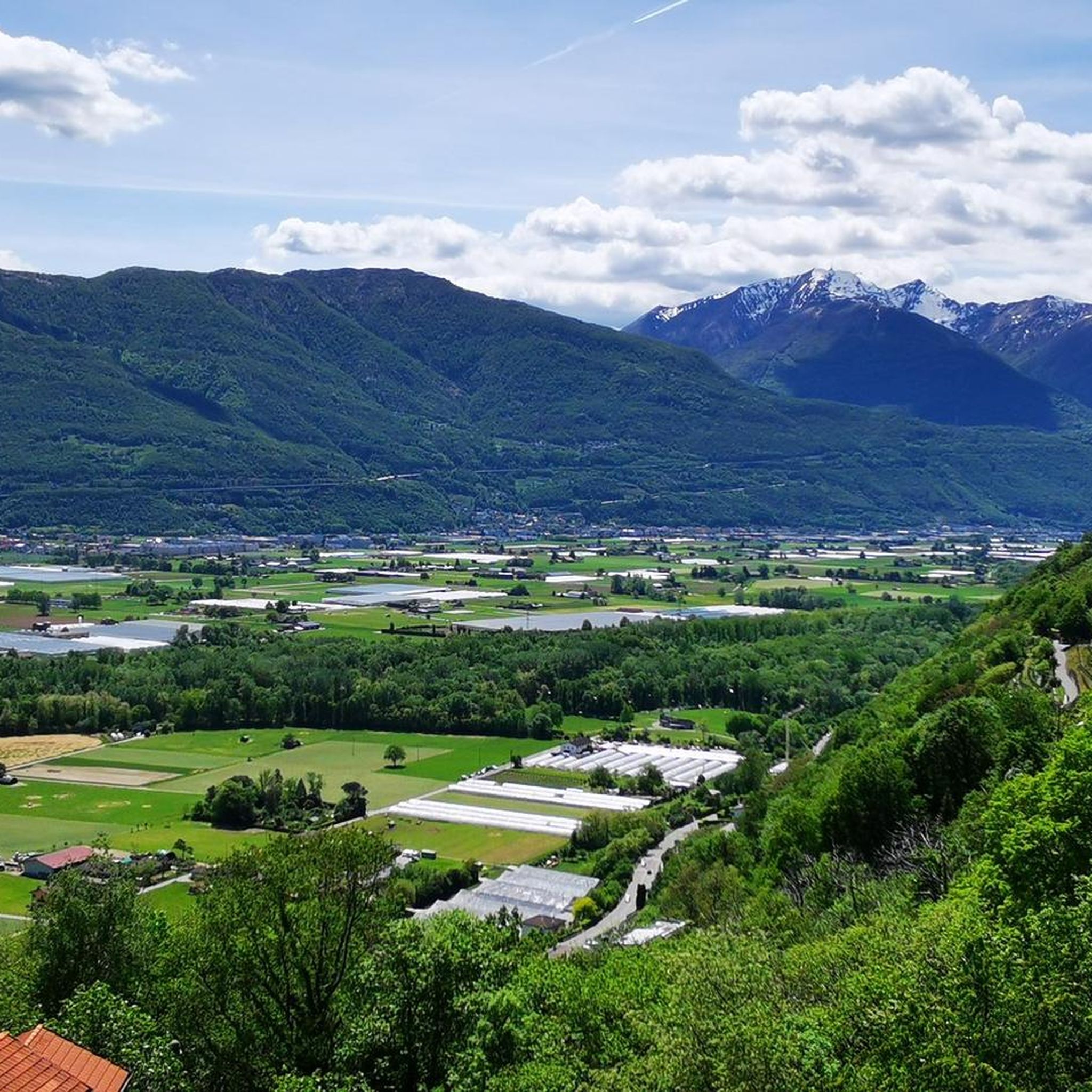
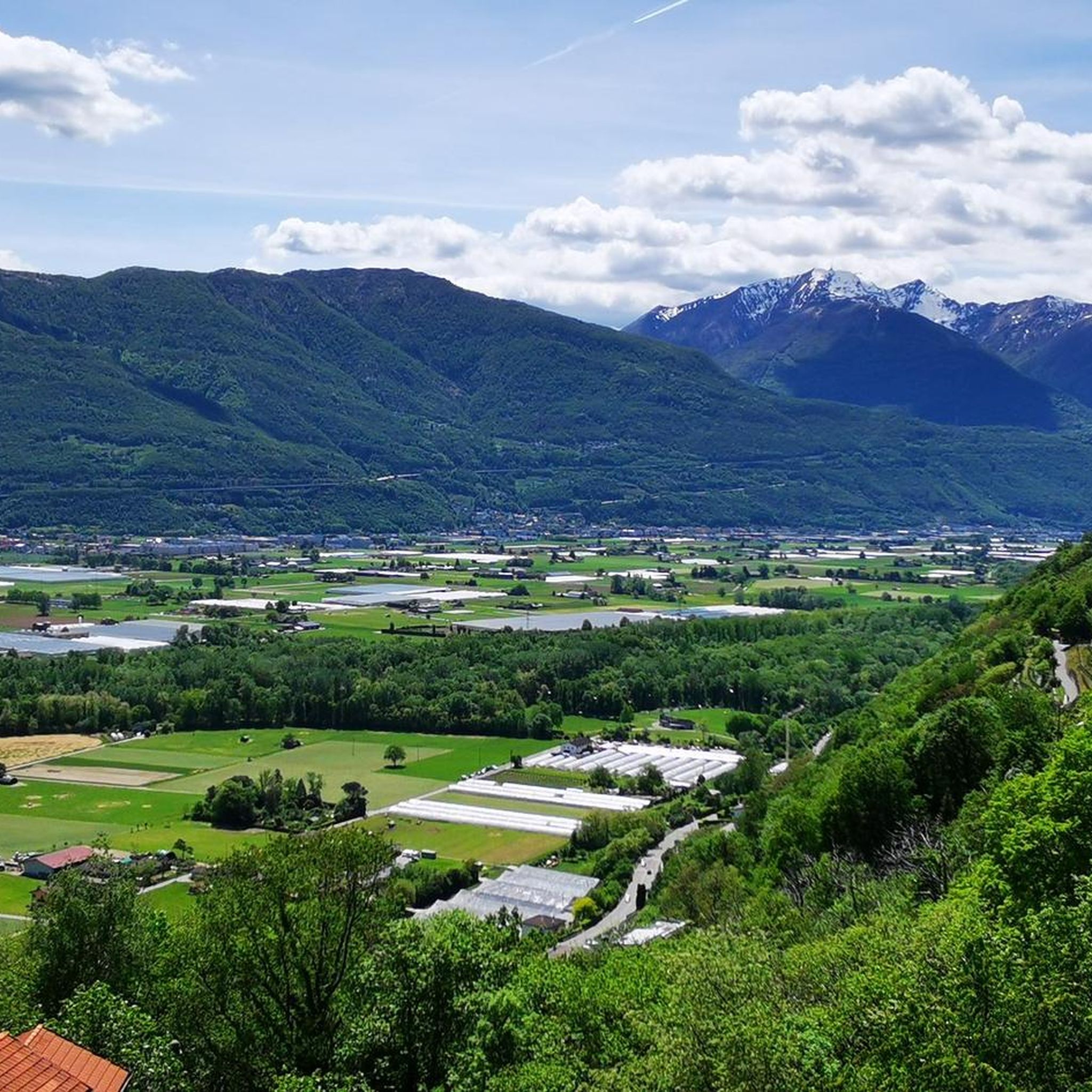
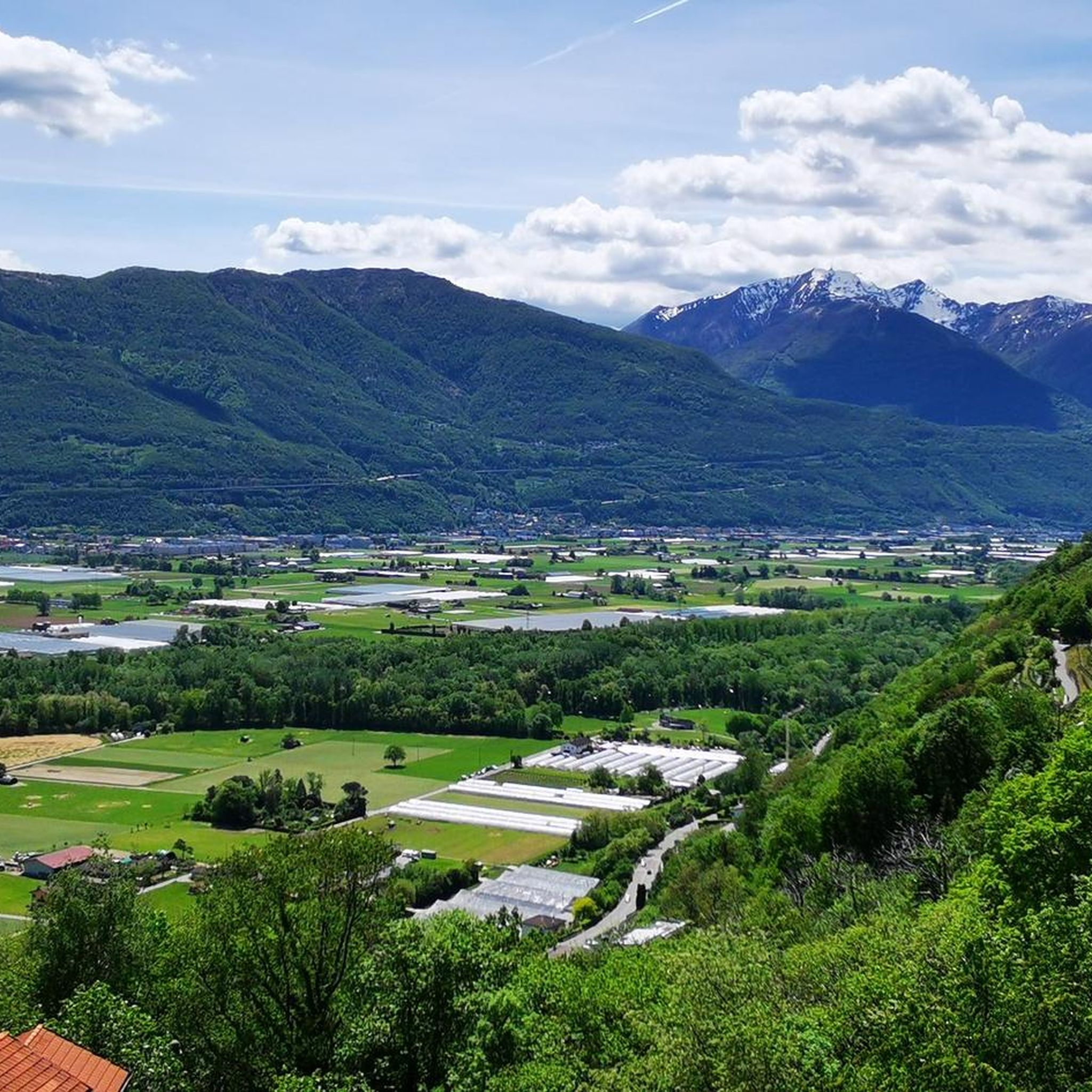
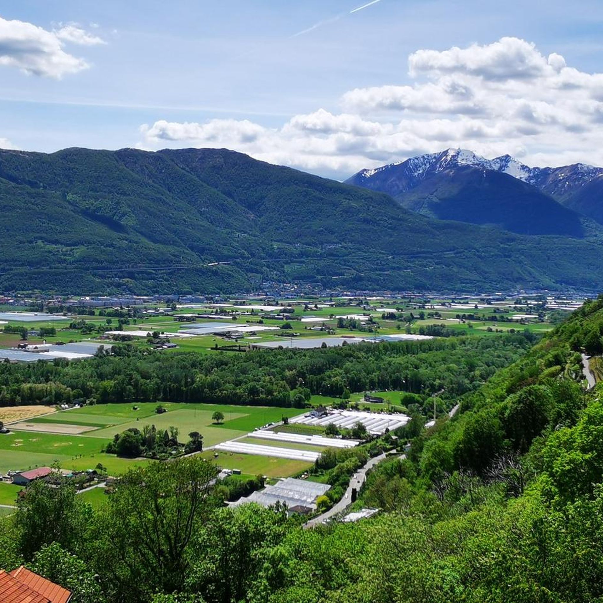
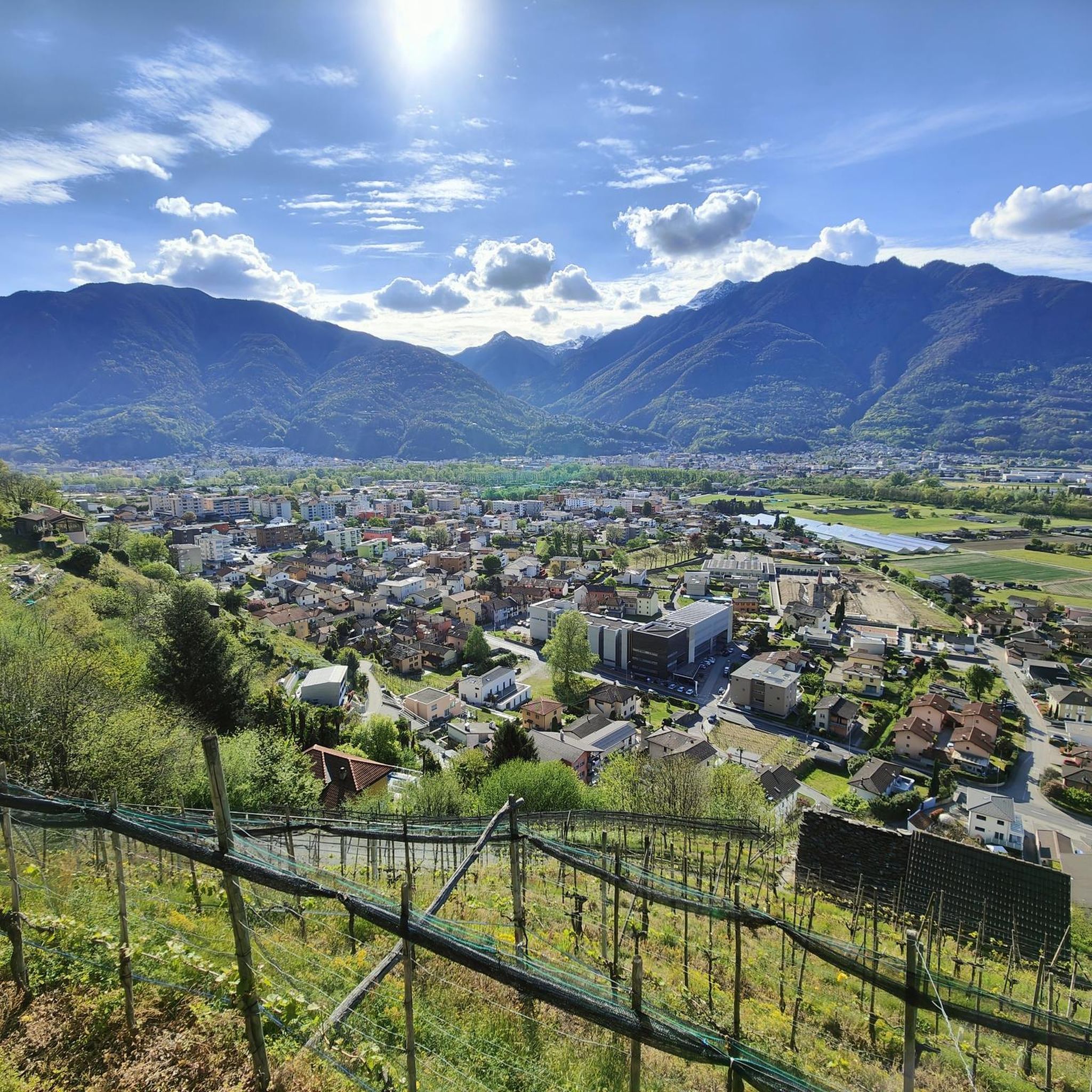
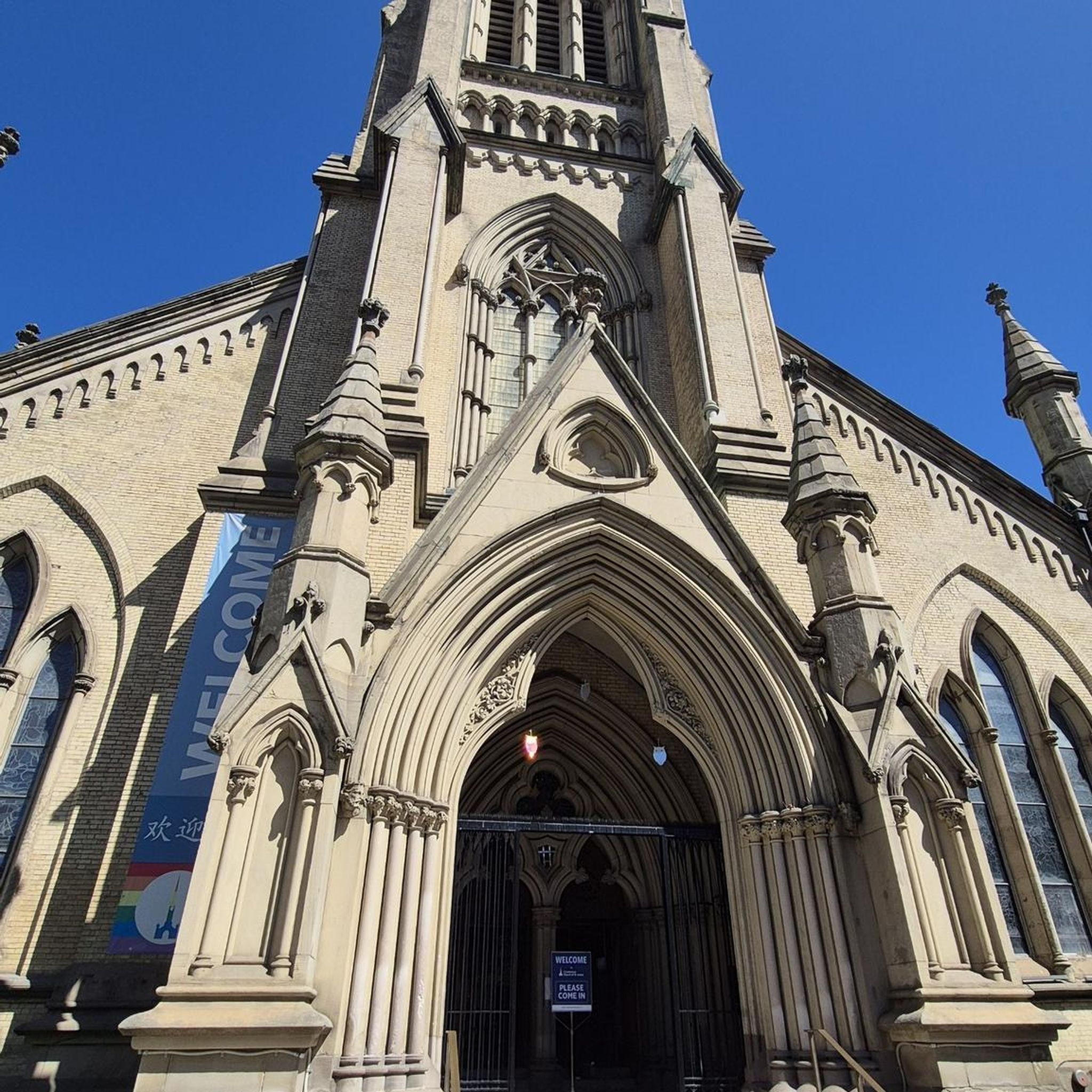
Tips from the Community

The Capanna Tamaro is located at 1,870 meters altitude, below the Monte Tamaro. The mountain hut, managed by the Società Alpinistica Ticinese, offers simple sleeping places, regional cuisine, and a warm atmosphere. It is an ideal starting point for the ridge hike to Monte Lema or for the ascent of Monte Tamaro and delights with magnificent views of the Ticino mountain world.
4
0

Perfect end after a hike for refreshments. Small menu with soup, polenta, risotto and homemade cake. https://www.montimotti.ch
0
0
Alpe Foppa is located at around 1500 meters above sea level and is a popular destination above Rivera. It is easily accessible by cable car to Monte Tamaro or on foot via various hiking trails. The Alp offers a magnificent view of the Ticino Alps and Lake Lugano. It is also known for the impressive chapel Santa Maria degli Angeli. In summer, hiking trails invite exploration, and in winter, snowshoe routes do the same. The combination of nature, tranquility, and architecture makes Alpe Foppa particularly attractive.
4
0

Great picnic area with a fountain that has plenty of water, tables and benches
0
0
It's great that this cable car runs practically day and night. So you don't have to stress about catching the last descent while hiking. A little further down the road is the bus stop for the bus to Bellinzona Station.
0
0

very nicely hosted hut and great view over the valley deep below us
0
0
The exit of the via ferrata looks adventurous, as do the rocks behind it... but not this time...
0
0
Interestingly, as we pass by, there's an open toilet paper stand next to the table with a few dry rolls of toilet paper—it rarely seems to rain here...
0
0
Frequently Asked Questions
How many mountaineering routes are available around Sementina?
There are 7 challenging mountaineering routes around Sementina, all rated as difficult. These routes offer significant elevation gain and rugged terrain, suitable for experienced mountaineers.
What kind of terrain can I expect on mountaineering routes in Sementina?
Mountaineering routes in Sementina feature rugged landscapes, including deep valleys like the Verzasca Valley with its emerald waters and unique rock formations, and prominent peaks such as the Sassariente Summit. You'll encounter varied terrain requiring good fitness and alpine experience.
Are there any circular mountaineering routes in Sementina?
Yes, several routes are circular. For instance, the Sassariente Summit Cross loop from Gordola is a difficult 9.5 km route leading to the summit, offering expansive views. Another option is the Pond with picnic benches loop from Circolo di Bellinzona, a 5.6 km difficult trail.
What are some notable natural attractions or landmarks along the mountaineering routes?
The region is rich in natural beauty. You might encounter the stunning Verzasca River with its distinctive rock formations, or the iconic Ponte dei Salti, a medieval stone bridge. The Sassariente Summit itself is a major landmark, offering panoramic views.
What is the best time of year for mountaineering in Sementina?
The broader Ticino canton, where Sementina is located, is considered a prime destination for a wide array of outdoor activities, including mountaineering, in spring, summer, and fall. These seasons generally offer more favorable weather conditions for challenging ascents.
Are there any options for ridge climbing near Sementina?
Yes, for those seeking ridge climbing, consider the Ridge Climbing in Ticino – Sassariente Summit Cross loop from Lavertezzo. This difficult 11 km route offers a challenging experience with significant elevation gain.
What do other mountaineers say about the routes in Sementina?
The mountaineering routes in Sementina are highly rated by the komoot community, with an average score of 4.6 stars from over 16 reviews. Mountaineers often praise the challenging terrain and rewarding vistas, especially from peaks like the Sassariente Summit.
Are there any longer, more demanding mountaineering routes available?
For a longer and more demanding experience, the Pond with picnic benches – Capanna Albagno loop from Circolo di Bellinzona is a difficult 10.4 km route with nearly 1000 meters of elevation gain, typically taking almost 6 hours to complete.
Can I find places to eat or drink near the mountaineering routes?
While specific cafes directly on the routes are limited, you can find options like the Osteria Grotto Monti di Motti, which is a highlight in the nearby gorges area, offering a place to refresh after your adventure.
What level of experience is required for mountaineering in Sementina?
All mountaineering routes listed for Sementina are rated as difficult. This means they require very good fitness, sure-footedness, sturdy shoes, and alpine experience, corresponding to SAC 4-6 difficulty levels. The terrain is rugged and challenging.
Are there any routes that offer views of the highest and lowest points in Switzerland?
Yes, the Sassariente Summit is renowned for offering an "incomparable viewpoint" where you can simultaneously see the highest and lowest points in Switzerland. Routes like the Sassariente Summit Cross loop from Gordola lead to this spectacular vantage point.
Most popular routes around Sementina
Most popular attractions around Sementina

Get inspired with the komoot mobile app


Explore more
Browse the best Mountain Hikes & Routes in other regions.
