The best mountain hikes around Ponte Capriasca
5.0
(10)
70
hikers
5
hikes
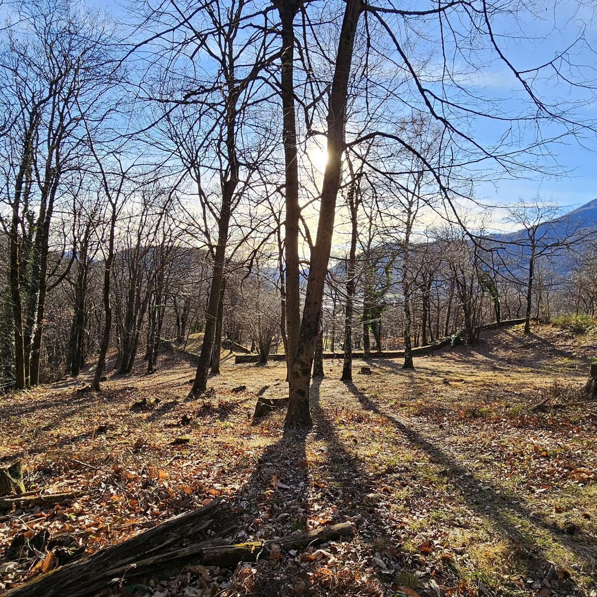
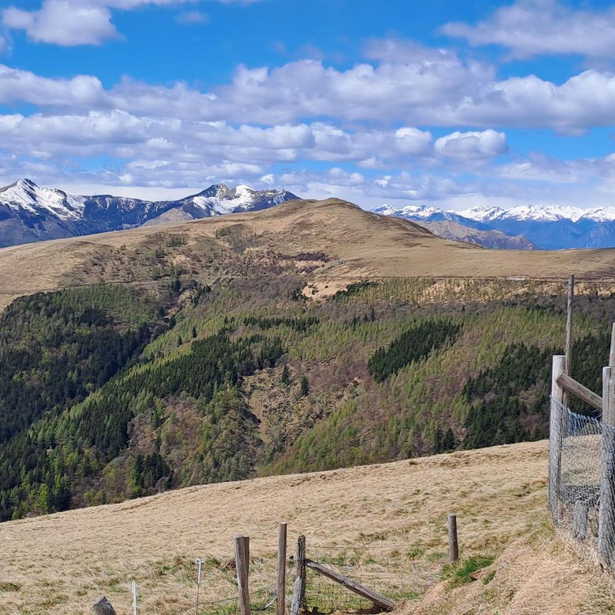
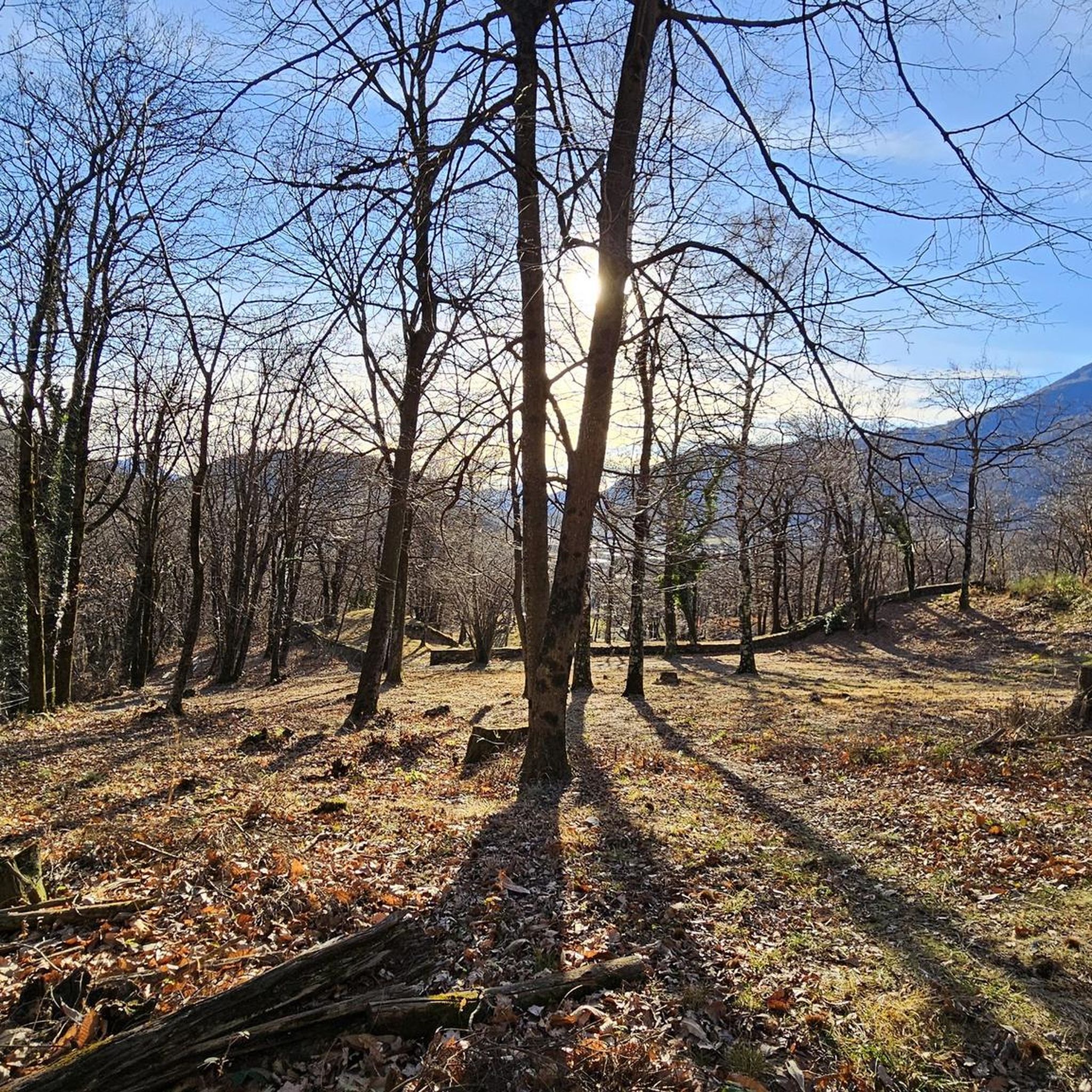
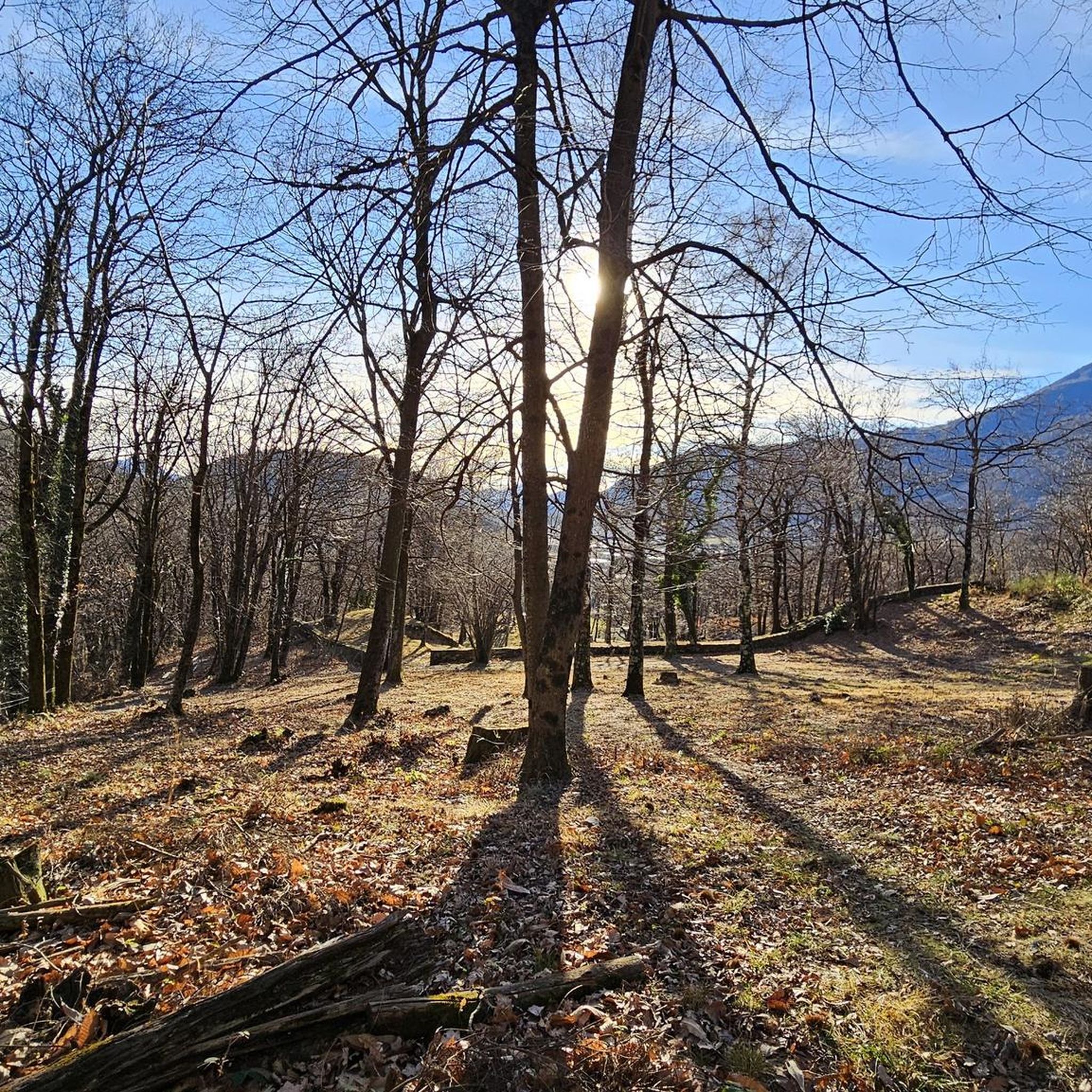
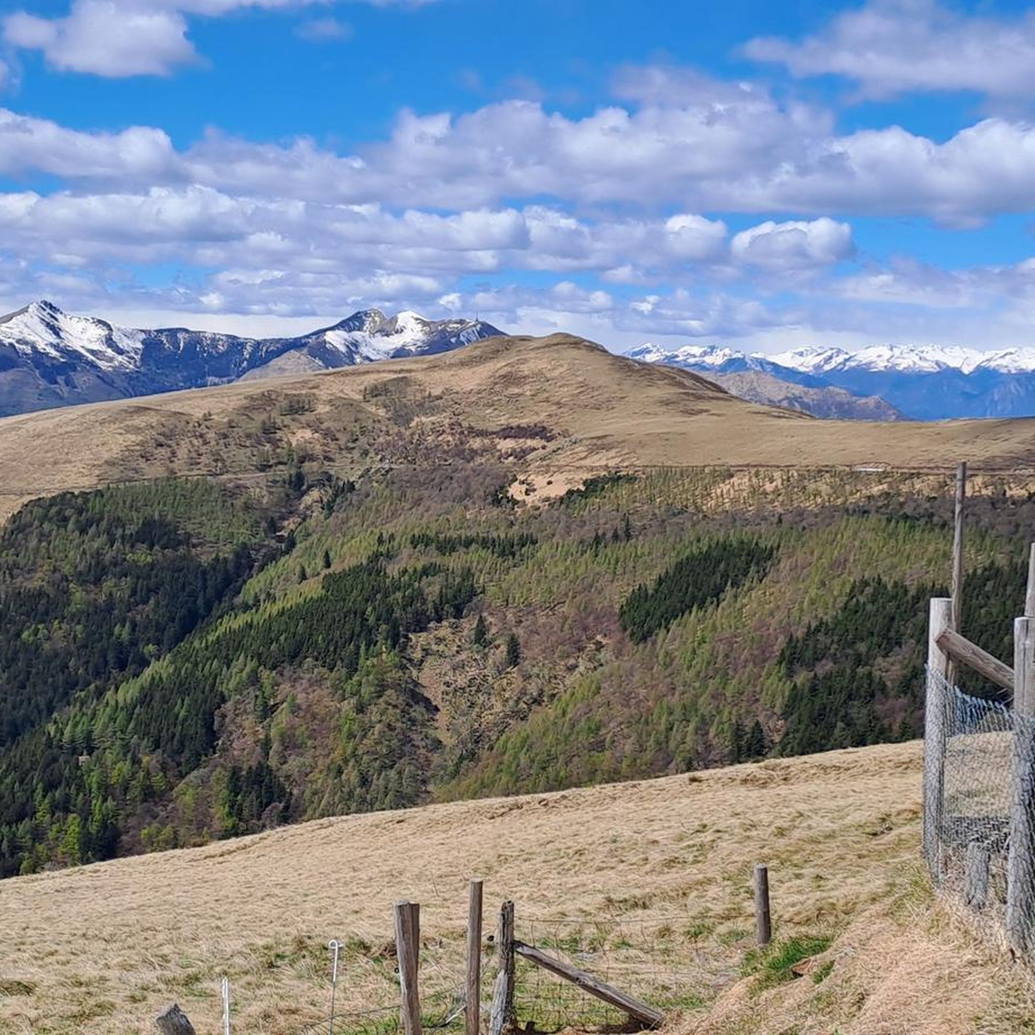
Mountaineering around Ponte Capriasca offers diverse terrain, characterized by hilly areas, rugged, sharply contoured mountain peaks to the north, and gently undulating, wooded hills and lakes to the south. The region features peaceful woods of birch, beech, and chestnut trees, covering a significant portion of the land. These varied landscapes provide a range of challenges and scenic experiences for mountaineers.
Best mountaineering routes around Ponte Capriasca
- The most popular mountaineering route is Alpe di Neggia Pass (1,395 m) – Summit…
Last updated: October 14, 2026
5.0
(1)
7
hikers
6.29km
03:18
520m
520m
Moderate mountaineering route. Good fitness required. Mostly accessible paths. Sure-footedness required.
5.0
(3)
8
hikers
Moderate mountaineering route. Good fitness required. Mostly accessible paths. Sure-footedness required.

6
hikers
Moderate mountaineering route. Good fitness required. Mostly accessible paths. Sure-footedness required.
5
hikers
11.7km
05:20
900m
900m
Hard mountaineering route. Very good fitness required. Mostly accessible paths. Sure-footedness required.
5.0
(1)
4
hikers
8.78km
03:34
500m
500m
Moderate mountaineering route. Good fitness required. Mostly accessible paths. Sure-footedness required.
Our route recommendations are based on thousands of hikes, rides, and runs completed by other people on komoot.
Start today with a free account
Your next adventure awaits.

Tips from the Community

Very nice Ticino village. Accessible by Postauto.
0
0


The Capanna Tamaro is located at 1,870 meters altitude, below the Monte Tamaro. The mountain hut, managed by the Società Alpinistica Ticinese, offers simple sleeping places, regional cuisine, and a warm atmosphere. It is an ideal starting point for the ridge hike to Monte Lema or for the ascent of Monte Tamaro and delights with magnificent views of the Ticino mountain world.
4
0

Which direction would I like to take? Always so many possibilities to choose from here.
0
0
Always a beautiful destination for those starting from the valley or from Arosio.
0
0
Alpe Foppa is located at around 1500 meters above sea level and is a popular destination above Rivera. It is easily accessible by cable car to Monte Tamaro or on foot via various hiking trails. The Alp offers a magnificent view of the Ticino Alps and Lake Lugano. It is also known for the impressive chapel Santa Maria degli Angeli. In summer, hiking trails invite exploration, and in winter, snowshoe routes do the same. The combination of nature, tranquility, and architecture makes Alpe Foppa particularly attractive.
4
0
Nice and cozy restaurant on the summit
8
0
Frequently Asked Questions
How many mountaineering routes are available around Ponte Capriasca?
There are 9 mountaineering routes detailed in this guide for the Ponte Capriasca area. These include 5 moderate and 4 difficult options, offering a range of challenges for different skill levels.
What kind of terrain can I expect on mountaineering routes near Ponte Capriasca?
Mountaineering around Ponte Capriasca features diverse terrain. You'll encounter hilly areas, rugged and sharply contoured mountain peaks to the north, and gently undulating, wooded hills and lakes to the south. The region is characterized by peaceful woods of birch, beech, and chestnut trees, covering a significant portion of the land.
Are there any circular mountaineering routes in the area?
Yes, several routes are circular. For example, the Alpe di Neggia Pass (1,395 m) – Summit of Mount Gambarogno loop from Monte Gambarogno is a popular circular option. Another is the Sasso Rosso – Monte Boglia loop from Brè sopra Lugano, which offers varied terrain and views towards Lake Lugano.
What are some challenging mountaineering routes around Ponte Capriasca?
For a more challenging experience, consider routes like the Sasso Rosso – Monte Boglia loop from Brè sopra Lugano. This difficult 6.9-mile (11.1 km) path involves significant elevation gain and traverses varied terrain.
Are there any easier mountaineering routes suitable for beginners?
While all routes in this guide are rated moderate to difficult, a shorter moderate option is the Alpe di Neggia Pass (1,395 m) loop from Monte Gambarogno, which is about 2.5 miles (4.1 km) long and takes under 2 hours to complete. It's a good introduction to the area's mountain environment.
What can I see along the mountaineering routes or nearby?
The region offers stunning panoramic views, including those from Monte Tamaro and Monte San Salvatore. You can also explore historical sites like the castles of Bellinzona, including Castelgrande Bellinzona, Montebello Castle, and Sasso Corbaro Castle. The Monte Gambarogno summit also provides excellent vistas.
Are there mountain huts or places to stay overnight along the routes?
Yes, the region has mountain huts. For instance, you can find the Monte Bar Hut, which is a great option for an overnight stay or a rest stop. The Monte Lema Summit Hostel is another possibility for accommodation.
What do other mountaineers say about the routes in Ponte Capriasca?
The mountaineering routes in Ponte Capriasca are highly rated by the komoot community, with an average score of 5.0 stars from around 15 reviews. Users often praise the varied terrain, panoramic views, and the well-maintained paths.
Are there any routes that offer views of Monte Tamaro?
Absolutely. The Alpe di Neggia Pass (1,395 m) – Summit of Monte Tamaro loop from Monte Gambarogno is a moderate route specifically designed to offer views of Monte Tamaro. Another option is the Summit of Monte Tamaro loop from Oratorio di Santa Maria degli Angeli.
What natural features define the Capriasca region?
The Capriasca region is known for its natural wonders, including charming villages nestled within peaceful woods of birch, beech, and chestnut trees. Approximately 64% of Ponte Capriasca's land is covered by forests. The landscape also features hilly areas, with views contrasting rugged mountain peaks to the north and gently undulating, wooded hills and lakes to the south, such as the Lago di Origlio Nature Reserve.
Is there a good time of year for mountaineering in Ponte Capriasca?
While specific seasonal advice isn't provided, the diverse terrain and varied elevation suggest that late spring to early autumn generally offers the most favorable conditions for mountaineering, avoiding heavy snow at higher altitudes and extreme summer heat at lower elevations.
Are there any unique attractions near the mountaineering trails?
Beyond the natural beauty, you can visit the fascinating Carasc Tibetan Bridge, a suspension bridge offering impressive views. The historic Church of S. Ambrogio, dating back to 1356, is also a point of interest. For relaxation, Bosco di Crano offers picnic tables and playgrounds amidst nature.
Most popular routes around Ponte Capriasca
Most popular attractions around Ponte Capriasca

Get inspired with the komoot mobile app


Explore more
Browse the best Mountain Hikes & Routes in other regions.
