The best mountain hikes around Minusio
4.7
(6)
50
hikers
5
hikes
Mountaineering routes around Minusio, nestled in Switzerland's Ticino region, offer diverse terrain for outdoor enthusiasts. The area is characterized by its strategic location on Lake Maggiore, providing a backdrop of water and surrounding mountains like Monte Gambarogno and Sassariente. The landscape features a mix of accessible peaks, deep valleys such as the Verzasca Valley, and panoramic viewpoints like Cardada-Cimetta, making it an ideal base for mountain exploration.
Best mountaineering routes around Minusio
- The most popular mountaineering route is Alpe di Neggia Pass (1,395 m) – Summit of Mount Gambarogno loop from Monte Gambarogno, a 6.3 miles (10.2 km) trail that takes 4 hours 10 minutes to complete. This route offers expansive views over Lake Maggiore and the surrounding peaks.
- Another top favourite among local mountaineers is Sassariente Summit Cross loop from Gordola, a difficult 5.9 miles (9.5 km) path. This challenging route ascends to the Sassariente Summit, providing panoramic vistas of Lake Maggiore and the Monte Rosa mountain range.
- Local mountaineers also love the Pizzo Leone loop from Ronco sopra Ascona, a 5.2 miles (8.3 km) trail leading through varied mountain terrain, often completed in about 3 hours 13 minutes.
- Mountaineering around Minusio is defined by its proximity to Lake Maggiore, accessible mountain peaks, and scenic valleys like the Verzasca Valley. The network offers options for different ability levels, from moderate ascents to more difficult summit challenges.
- The routes in Minusio are highly rated by the komoot community with an average score of 4.9 stars from more than 10 reviews. More than 100 mountaineers have used komoot to explore Minusio's varied terrain.
Last updated: June 28, 2026
18
hikers
9.78km
04:26
590m
590m
Moderate mountaineering route. Good fitness required. Mostly accessible paths. Sure-footedness required.
4.0
(2)
11
hikers
9.56km
04:28
690m
690m
Hard mountaineering route. Good fitness required. Sure-footedness, sturdy shoes and alpine experience required.

Sign up for free
5.0
(1)
7
hikers
6.49km
03:21
530m
520m
Moderate mountaineering route. Good fitness required. Mostly accessible paths. Sure-footedness required.
5.0
(3)
8
hikers
Moderate mountaineering route. Good fitness required. Mostly accessible paths. Sure-footedness required.
6
hikers
9.19km
03:46
580m
580m
Moderate mountaineering route. Good fitness required. Mostly accessible paths. Sure-footedness required.
Our route recommendations are based on thousands of hikes, rides, and runs completed by other people on komoot.
Start today with a free account
Your next adventure awaits.
Login or Signup
Tips from the Community

Perfect end after a hike for refreshments. Small menu with soup, polenta, risotto and homemade cake. https://www.montimotti.ch
0
0

Scenically a very great tour. Top Top Top
0
0

Alpe Foppa is located at around 1500 meters above sea level and is a popular destination above Rivera. It is easily accessible by cable car to Monte Tamaro or on foot via various hiking trails. The Alp offers a magnificent view of the Ticino Alps and Lake Lugano. It is also known for the impressive chapel Santa Maria degli Angeli. In summer, hiking trails invite exploration, and in winter, snowshoe routes do the same. The combination of nature, tranquility, and architecture makes Alpe Foppa particularly attractive.
4
0
Beautiful chapel with a magnificent view of the Maggia Valley
3
0
Beautiful bathing spot at the far end of the valley
4
0

The Cugnasco-Monti di Motti road was built as a military road during the First World War. After a 12 km climb on a narrow but well-maintained road, you reach Monti di Motti, a magnificent cluster of houses on a small lake with breathtaking views of the Verzasca Valley, the Magadino Plain, Monte Tamaro and Lake Maggiore. The grotto and the lake make this mountain an ideal destination for families who want to spend a day surrounded by nature. Several interesting excursions start from here, including one to the picturesque Sassariente
1
0
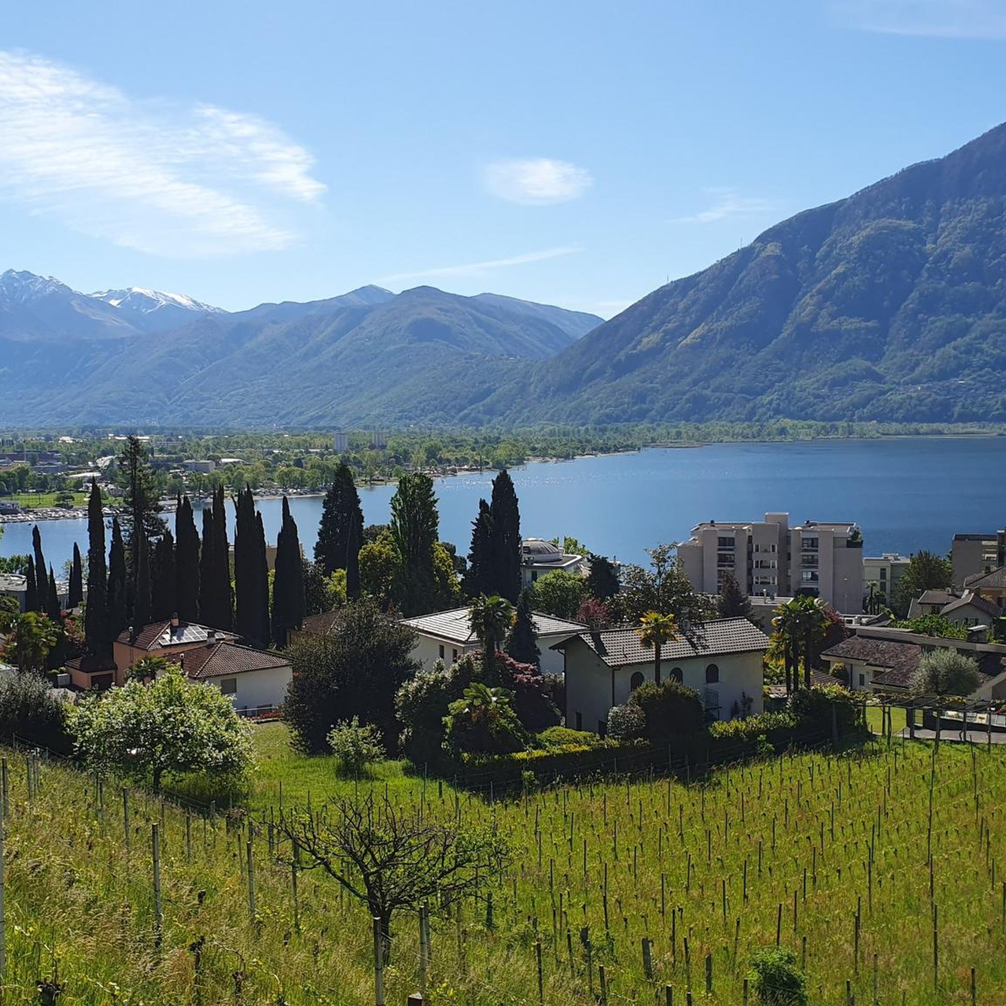
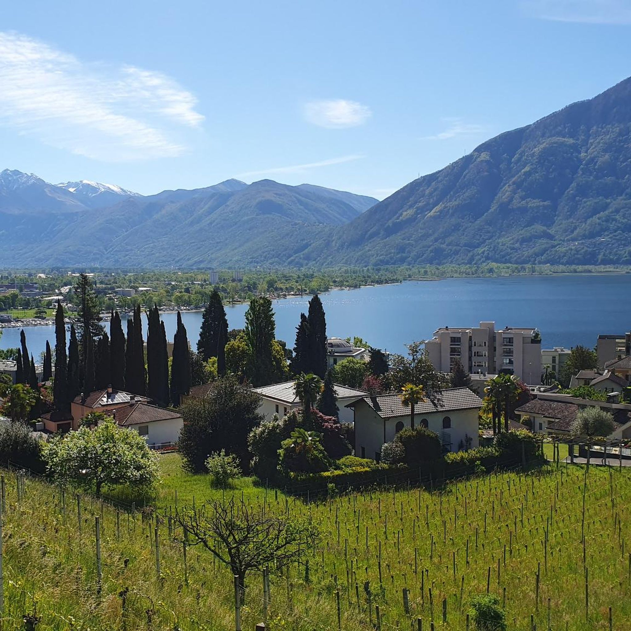
very pretty here, very pretty
0
0

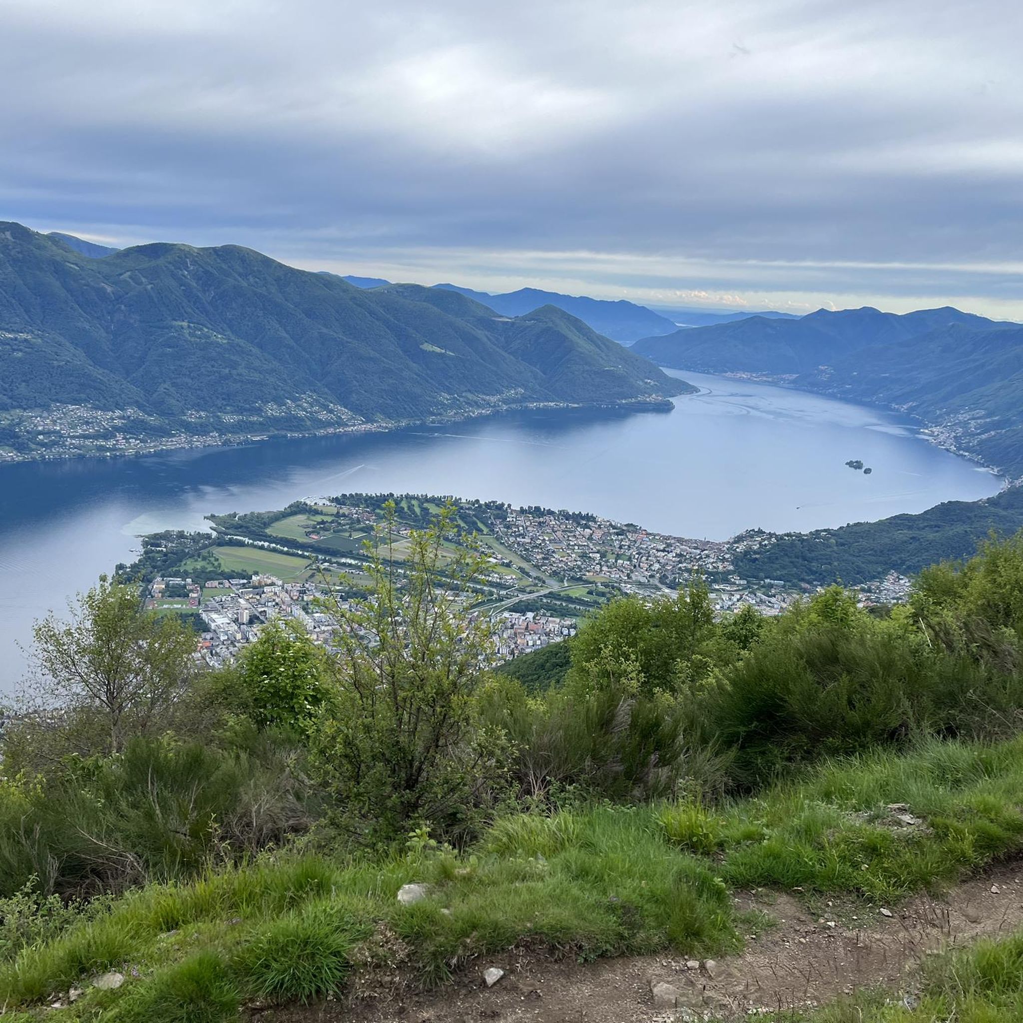
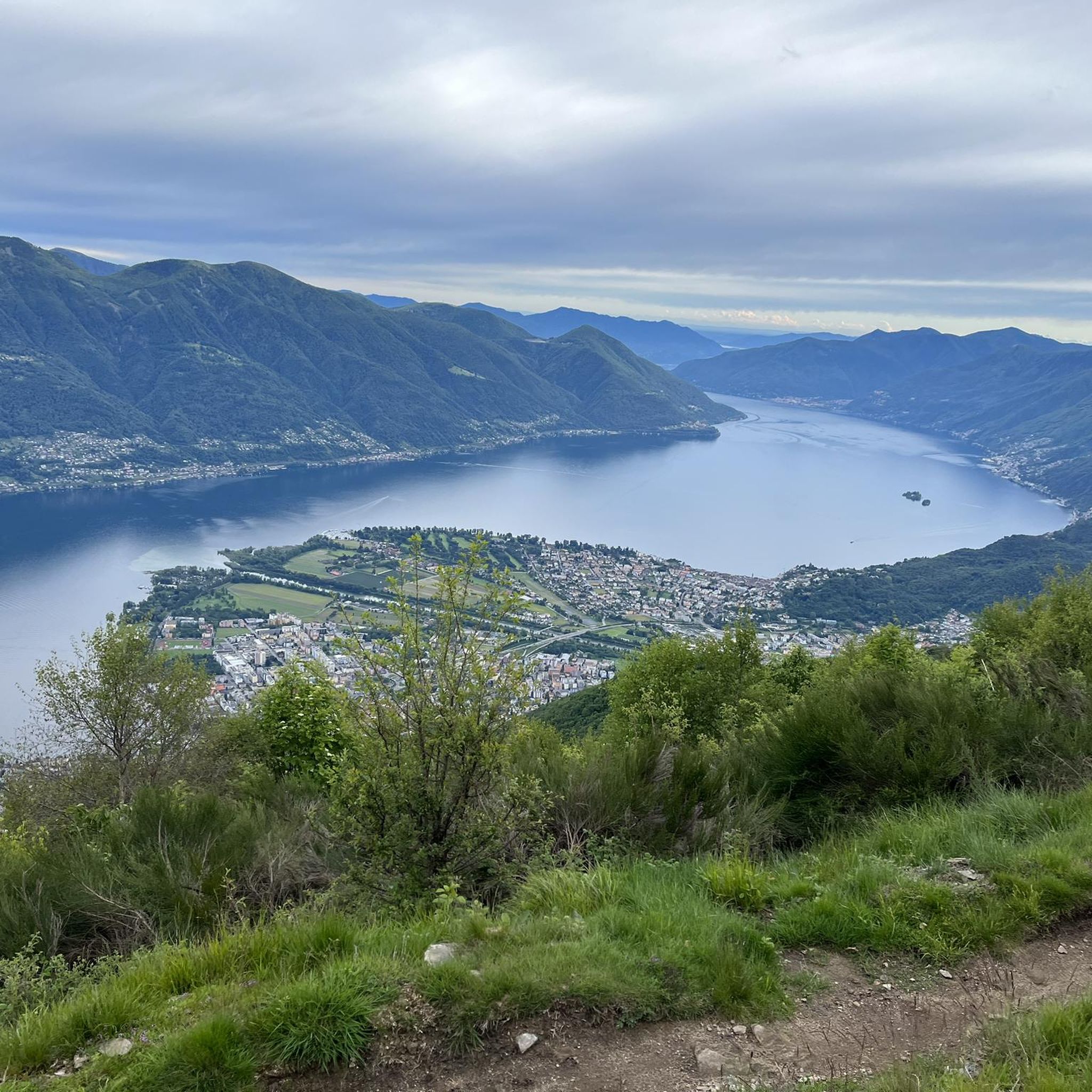
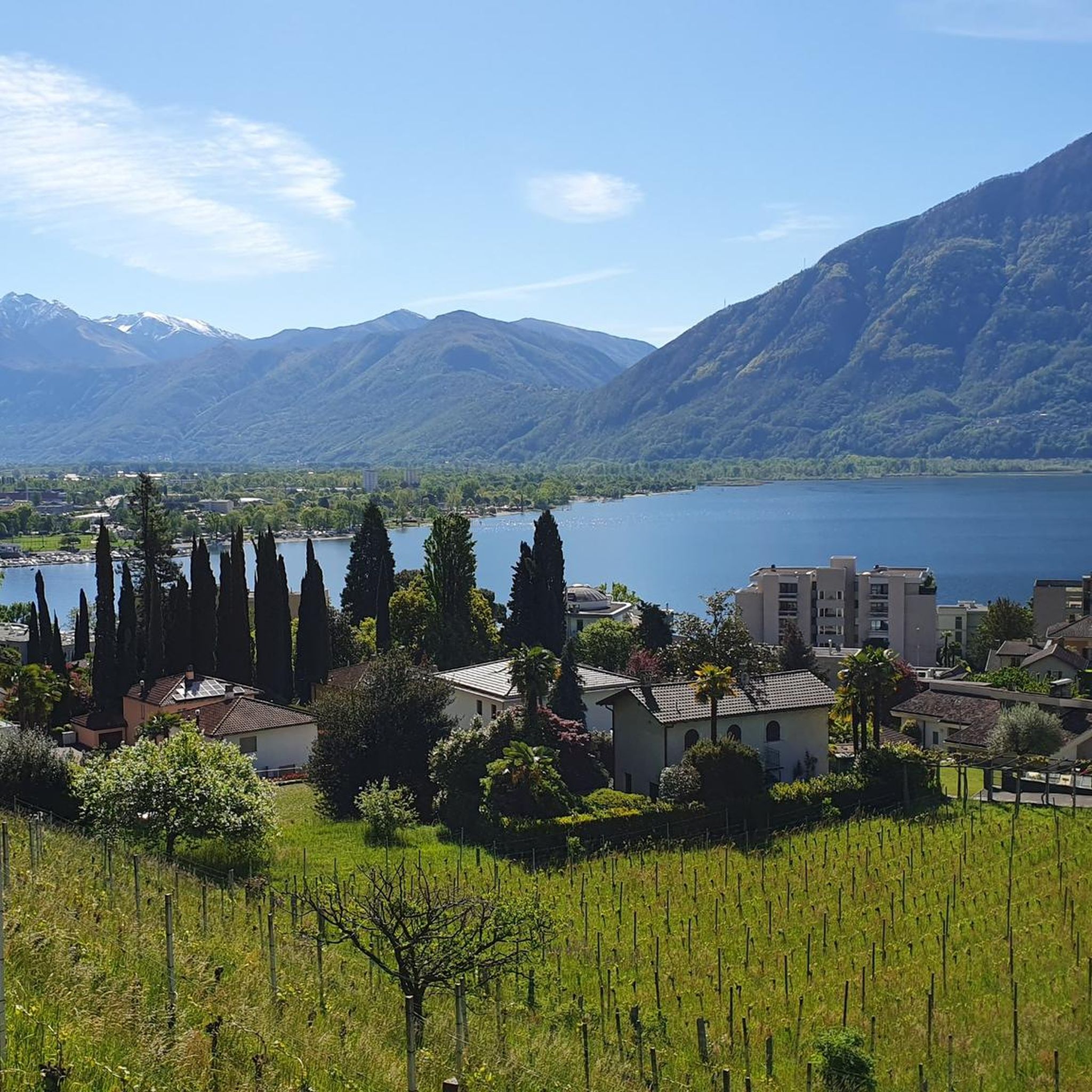
View of Lake Maggiore and the Monte Rosa mountain range
0
0
Frequently Asked Questions
What are the typical difficulty levels for mountaineering routes around Minusio?
Mountaineering routes in Minusio primarily range from moderate to difficult. There are 6 moderate routes and 6 difficult routes available, offering challenges for those with good to very good fitness levels. You won't find any easy routes specifically categorized for mountaineering in this area.
What is the average duration for mountaineering routes in Minusio?
The duration for mountaineering routes around Minusio varies, but most routes take between 3 to 5 hours to complete. For example, the Pizzo Leone loop from Ronco sopra Ascona typically takes around 3 hours 13 minutes, while the Alpe di Neggia Pass – Summit of Mount Gambarogno loop is closer to 4 hours 10 minutes.
Are there circular mountaineering routes available in Minusio?
Yes, many of the mountaineering routes in Minusio are designed as circular loops, allowing you to start and end at the same point. Examples include the popular Alpe di Neggia Pass – Summit of Mount Gambarogno loop and the challenging Sassariente Summit Cross loop from Gordola.
Which mountaineering routes offer the best panoramic views?
Many routes in Minusio boast stunning vistas. The Alpe di Neggia Pass – Summit of Mount Gambarogno loop provides expansive views over Lake Maggiore and the surrounding peaks. For even more dramatic scenery, the Sassariente Summit Cross loop offers panoramic views of Lake Maggiore and the distant Monte Rosa mountain range.
What natural landmarks or attractions can I discover along mountaineering routes near Minusio?
The region is rich in natural beauty. You might encounter highlights such as the iconic Ponte dei Salti, a charming stone bridge over the emerald-green Verzasca River, or reach summits like Monte Tamaro and Sassariente Summit, offering breathtaking views.
Are there any places to eat or stay near the mountaineering routes in Minusio?
Yes, you can find options for refreshments and accommodation. For instance, the Cardada Hut offers a place to rest, and you might come across traditional eateries like Osteria Grotto Monti di Motti, providing local cuisine after your hike.
Are there family-friendly mountaineering options around Minusio?
While the mountaineering routes themselves are generally moderate to difficult, the broader Minusio area offers accessible mountain experiences. For families, consider taking the cable car from Orselina to Cardada-Cimetta, which provides well-marked trails with panoramic views and is suitable for more leisurely walks, though not strictly mountaineering.
What do other mountaineers enjoy most about mountaineering in Minusio?
The area is highly rated by the komoot community, with an average score of 4.9 stars from over 10 reviews. Mountaineers often praise the diverse terrain, the stunning views over Lake Maggiore, and the rewarding summit experiences that characterize the routes around Minusio.
What is the best time of year for mountaineering in Minusio?
The best time for mountaineering in Minusio is typically during the spring, summer, and autumn months when the weather is more stable and the trails are clear of snow. Summer offers warmer temperatures, while spring and autumn provide pleasant conditions with vibrant foliage or blooming flowers.
Are dogs allowed on the mountaineering routes in Minusio?
Generally, dogs are welcome on most hiking and mountaineering trails in Switzerland, provided they are kept on a leash and owners clean up after them. It's always advisable to check local regulations or specific trail signs before heading out with your dog, especially in nature reserves.
How many mountaineering routes are available around Minusio?
There are over 10 distinct mountaineering routes around Minusio, offering a variety of challenges and scenic experiences for outdoor enthusiasts.
Are there any religious or historical landmarks along the routes?
Yes, the region has some notable religious landmarks. You might encounter places like Saint Mary of the Angels or Saint Anne, which offer a glimpse into the local history and culture amidst the natural landscapes.
Most popular routes around Minusio
Most popular attractions around Minusio

Get inspired with the komoot mobile app


Explore more
Browse the best Mountain Hikes & Routes in other regions.
