The best running trails around Miglieglia
4.4
(226)
10,766
runners
253
runs
Jogging around Miglieglia offers diverse landscapes for runners, situated on a sunny terrace in Switzerland's central Malcantone region. The area features mountainous terrain, lush forests, and expansive lake vistas, providing varied environments for running. Prominent natural features include Monte Lema, a 1621-meter peak offering panoramic views, and the meandering Magliasina river. Trails wind through birch, beech, and abundant chestnut woods, characteristic of the green Malcantone region.
Best jogging routes around Miglieglia
- The most popular jogging route is The crossing Monte…
Last updated: October 10, 2026
2.0
(1)
21
runners
18.3km
03:25
980m
980m
Hard run. Very good fitness required. Sure-footedness, sturdy shoes and alpine experience required.
8
runners
11.9km
02:15
850m
850m
Hard run. Very good fitness required. Sure-footedness, sturdy shoes and alpine experience required.

20
runners
9.80km
02:04
870m
870m
Hard run. Very good fitness required. Sure-footedness, sturdy shoes and alpine experience required.
5.0
(1)
14
runners
5.98km
00:47
220m
220m
Moderate run. Good fitness required. Mostly accessible paths. Some sure footedness required.
5.0
(1)
12
runners
5.99km
00:48
220m
220m
Moderate run. Good fitness required. Mostly accessible paths. Some sure footedness required.
Get access to more routes and recommendations from other explorers.
Already have an account?
Our route recommendations are based on thousands of hikes, rides, and runs completed by other people on komoot.
Start today with a free account
Your next adventure awaits.
Popular around Miglieglia
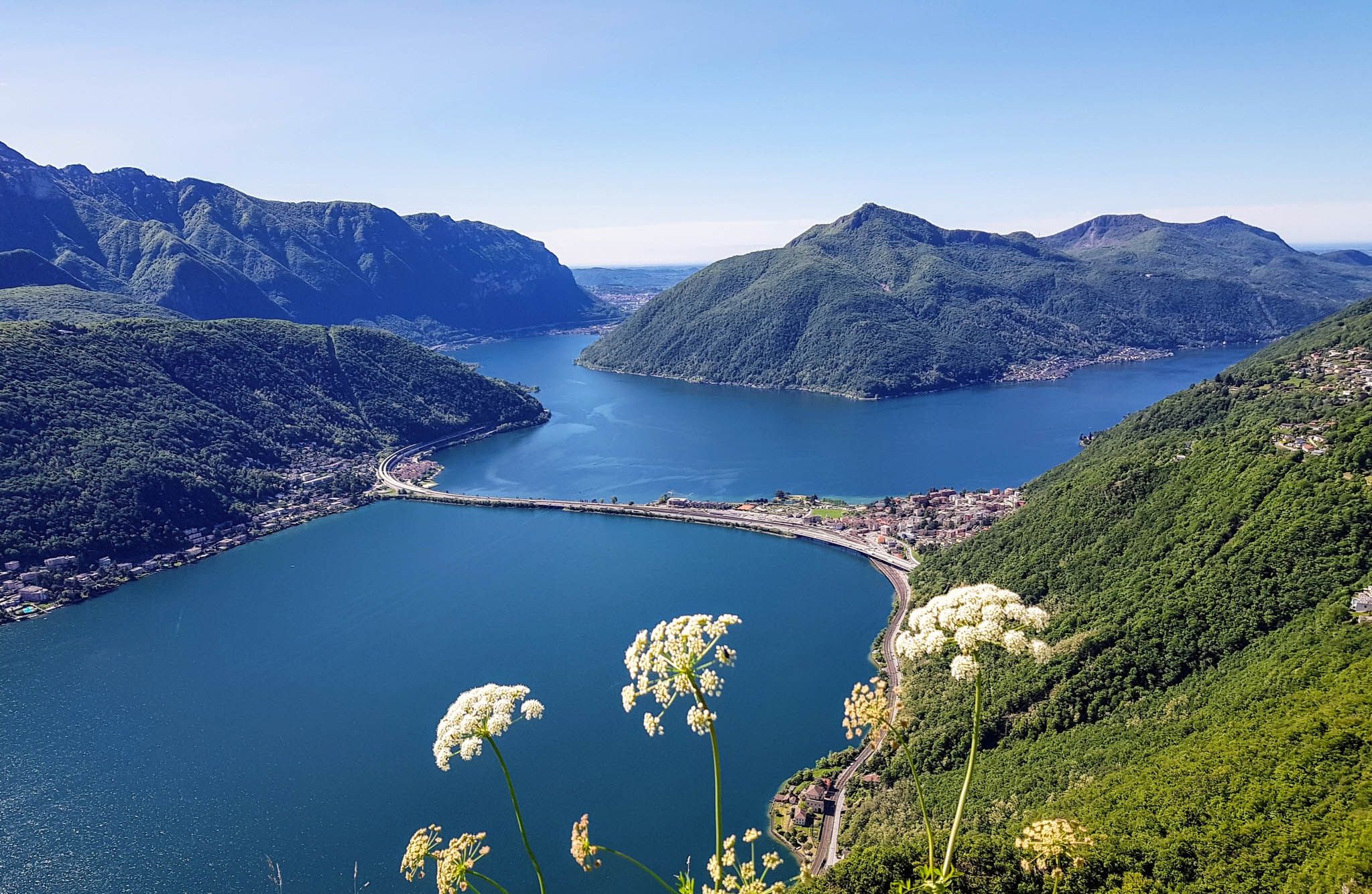
Sentiero Lago di Lugano – Between summits and lakes
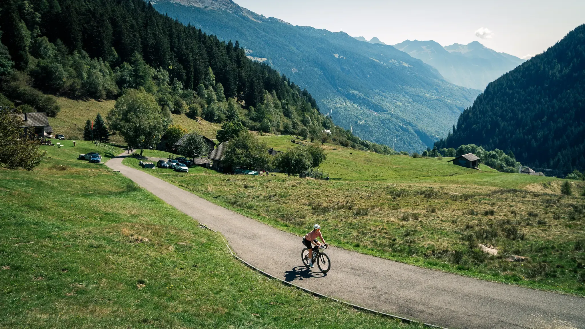
Ticino Traverso: exploring southern Switzerland, one detour at a time
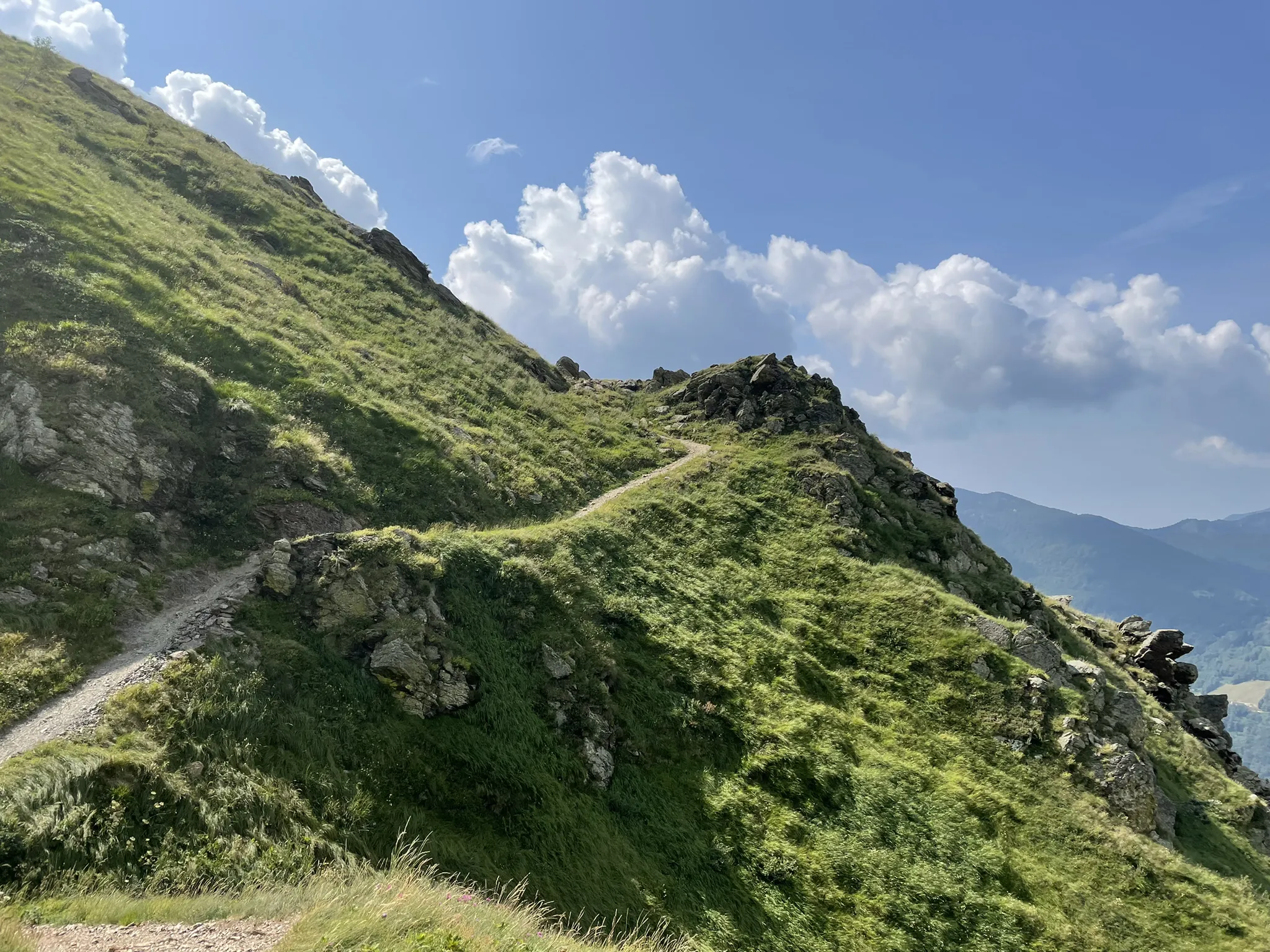
Over the mountains of Tessin - Lugano Bike 66
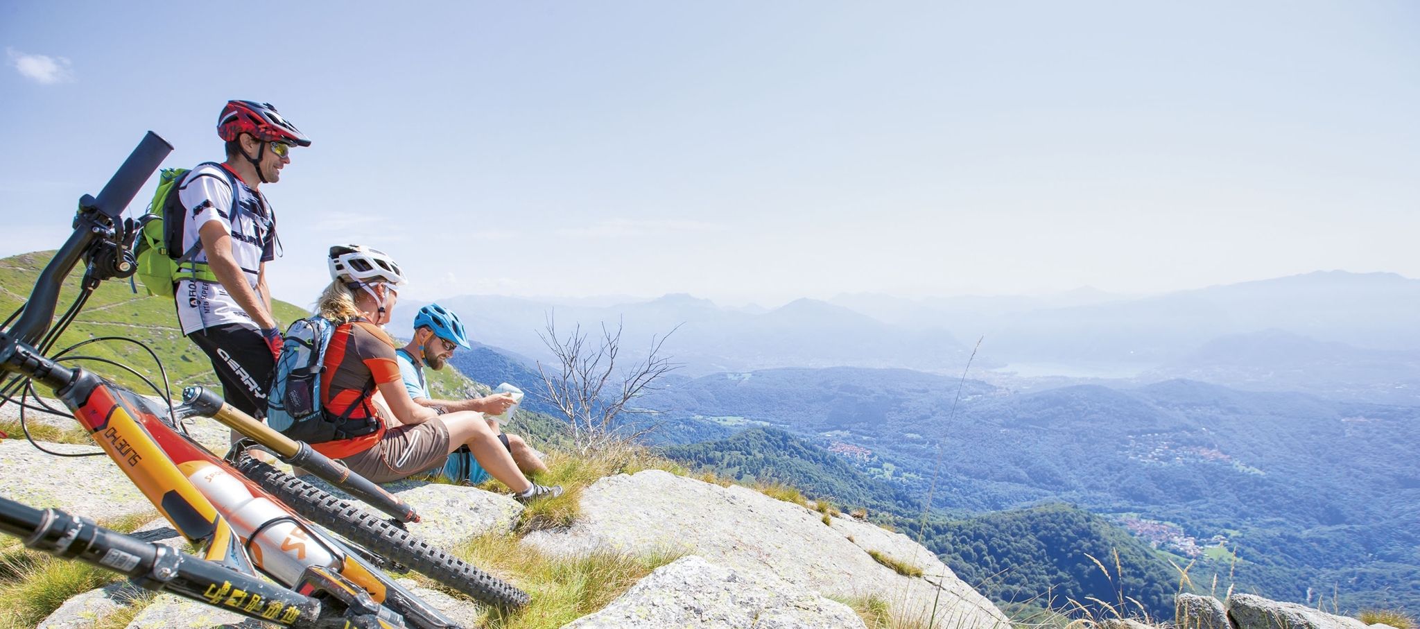
Ride together – the komoot MTB relay through Ticino in Switzerland
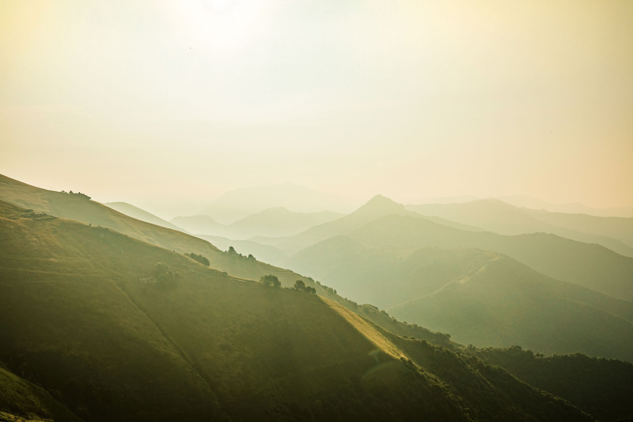
Ticino — Between heaven and formaggini
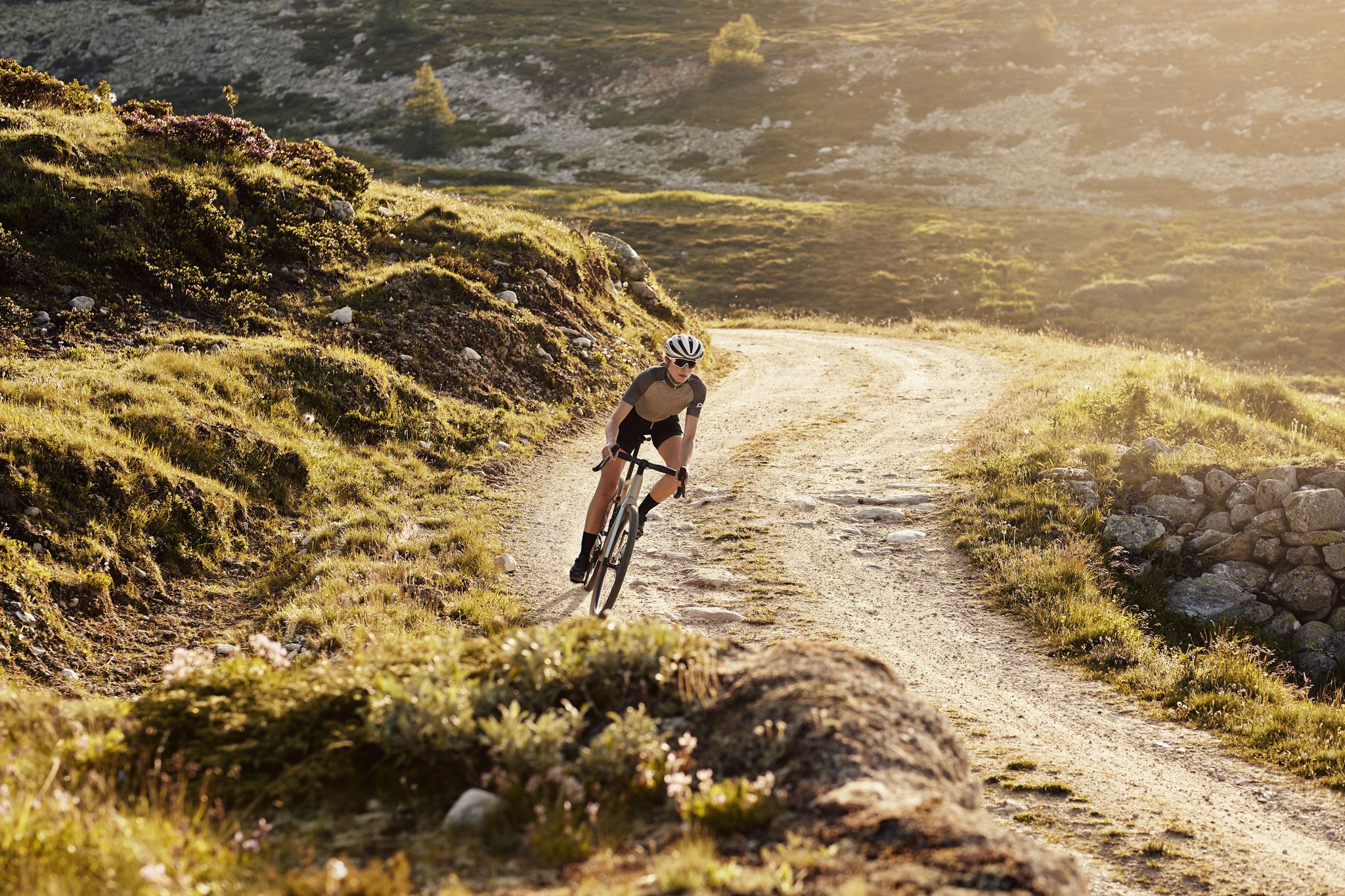
Schottergenuss und Gaumenschmaus – Grand Gourmet Rides durch die Schweiz
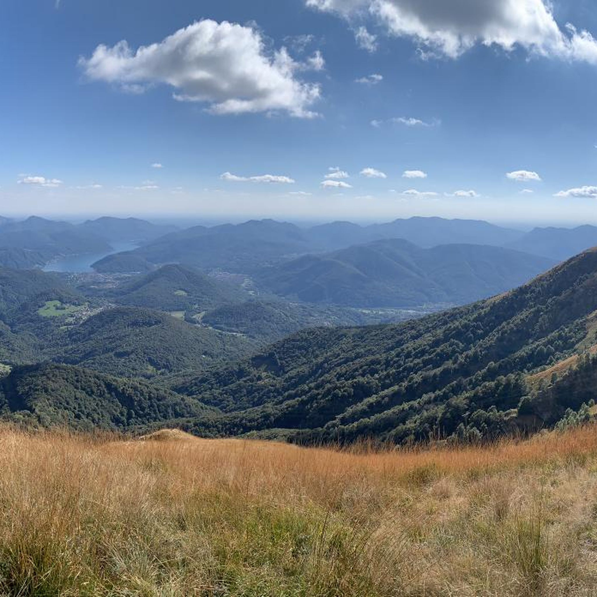
Hiking around Miglieglia
Road Cycling Routes around Miglieglia
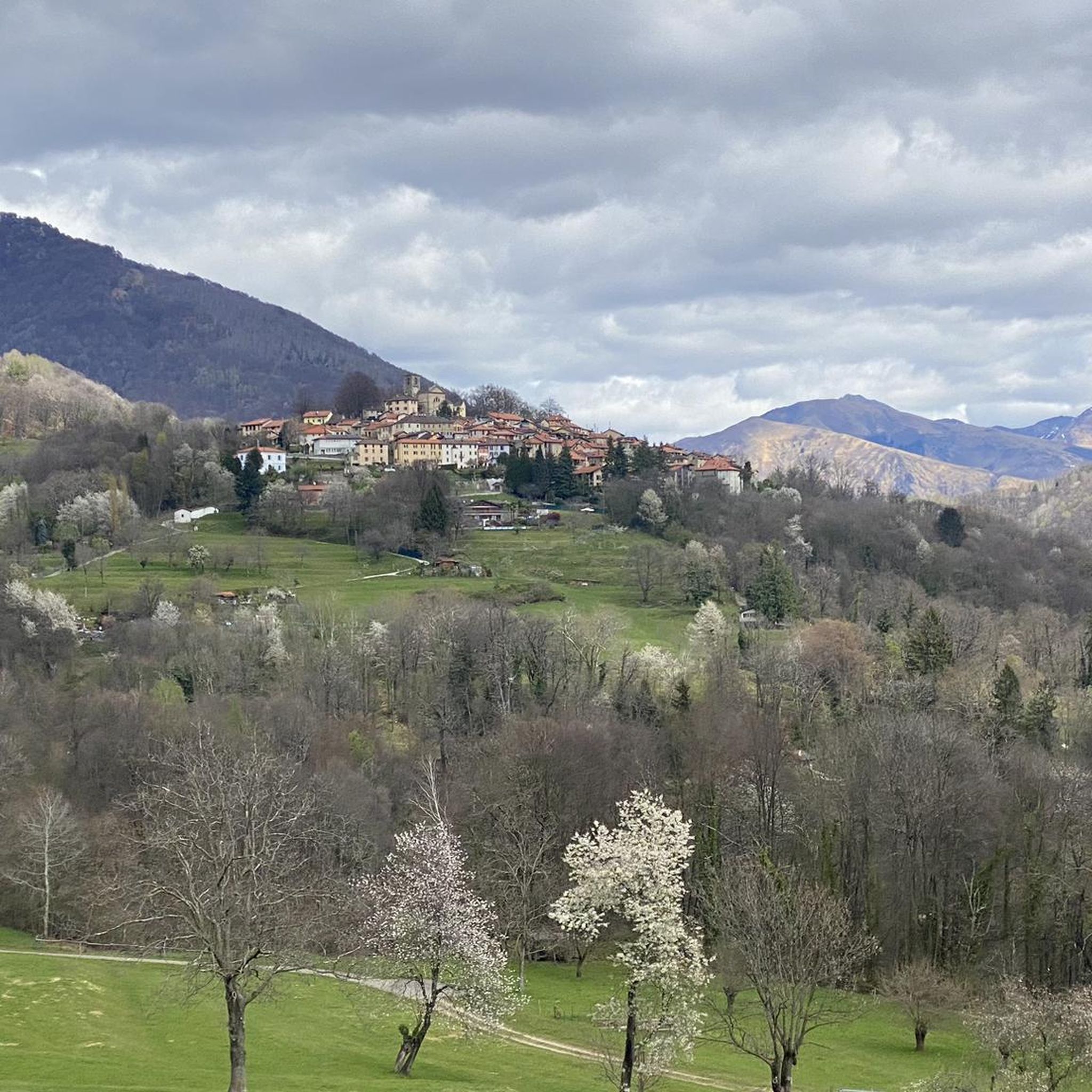
MTB Trails around Miglieglia
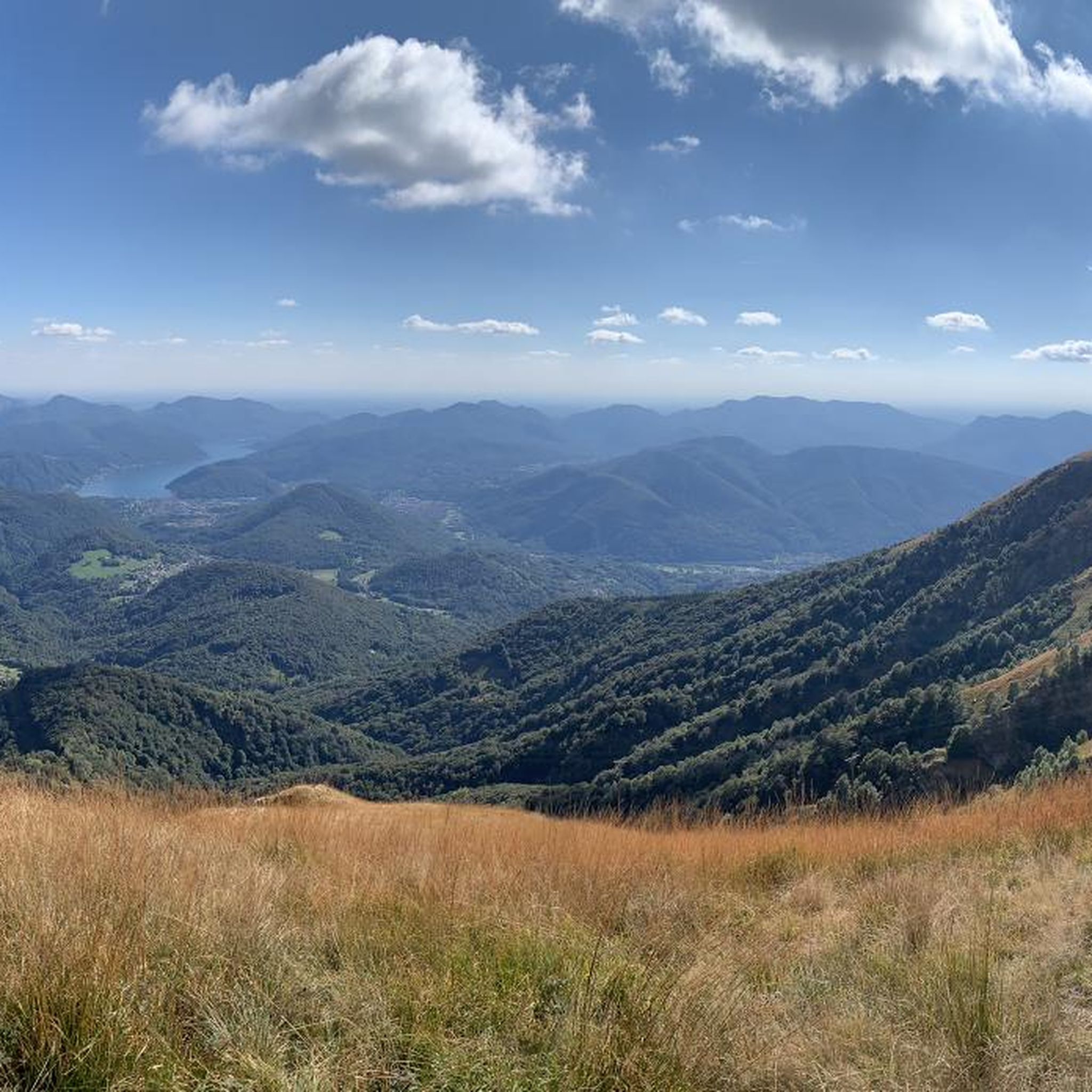
Cycling around Miglieglia
Other adventures around Miglieglia


Tips from the Community

Very nice Ticino village. Accessible by Postauto.
0
0

Beautiful even now with a bit of snow on the trail.
0
0


The Magliasina River is approximately 15 km long, flows into Lake Lugano (Ceresio), and encompasses two floodplains of national importance. Numerous animal species (e.g., crayfish) and rare protected plant species (ostrich fern, wetland forests with white and black alder) live in this area.
0
0

It's definitely tiring but the view makes up for the effort, if you want there's a cable car from Miglieglia😁
0
0

Here you take the mountain bike train up Monte Lema. Then you ride the mountain bike down to Italy and then back to Agno.
0
0

Tiny little bridge across the Magliasina river. When it's warm, you can cool off with a paddle in the crystal clear water.
0
0
Frequently Asked Questions
How many running routes are available around Miglieglia?
Miglieglia offers a wide variety of running trails, with over 250 routes available. These range from easy paths to challenging mountain runs, catering to different fitness levels and preferences.
Are there running routes suitable for beginners or those looking for an easy jog?
Yes, Miglieglia has options for all abilities. There are 16 easy running routes, perfect for beginners or those seeking a more relaxed jog. These trails often wind through the picturesque green landscapes of the Malcantone region, offering a gentle introduction to the area's beauty.
What kind of terrain can I expect on the jogging trails in Miglieglia?
The jogging trails around Miglieglia feature diverse terrain, from mountainous paths with significant elevation changes to lush forests and serene lake vistas. You'll encounter trails winding through birch, beech, and abundant chestnut woods, characteristic of the Malcantone region. Some routes offer high-level ridge walks, while others follow river meanders or pass through charming villages.
Are there any circular running routes in Miglieglia?
Yes, many of the running routes around Miglieglia are circular, allowing you to start and end your run in the same location. For example, the Mount Lema loop from Miglieglia is a popular 9.2 km circular trail that takes you through varied forest and open areas around Monte Lema.
Can I bring my dog on the running trails around Miglieglia?
Many trails in the Miglieglia and Malcantone region are dog-friendly, allowing you to enjoy your run with your canine companion. It's always recommended to keep dogs on a leash, especially in areas with wildlife or near livestock, and to check local regulations for specific trails. The diverse forest paths provide plenty of shaded areas for your dog.
Are there any running routes that pass by waterfalls?
Yes, you can find routes that feature waterfalls. The Mulino di Vinera – Al Maglio waterfall loop from Miglieglia is a moderate 5.9 km route that includes a visit to the Al Maglio waterfall, offering a refreshing natural highlight during your run.
What are some notable landmarks or viewpoints I can see while running in Miglieglia?
The region is rich in stunning views and landmarks. Many routes offer panoramic vistas from Monte Lema, overlooking Lake Lugano, Lake Maggiore, and even the Po Valley on clear days. You might also encounter views from Monte San Salvatore, or pass by the charming Saint Mary of the Angels church. The Malcantone region itself is known for its picturesque villages and chestnut groves.
Are there any family-friendly running trails in the Miglieglia area?
While many trails in Miglieglia involve elevation, there are options suitable for families, especially those with older children or who are comfortable with moderate distances. The 'Strada verde del Malcantone' (Green Road of Malcantone) offers stages that can be explored at a leisurely pace, connecting characteristic places and villages, making it a good option for a varied family outing.
What do other runners enjoy most about jogging in Miglieglia?
The running routes in Miglieglia are highly rated by the komoot community, with an average score of 4.4 stars from over 170 reviews. Runners frequently praise the diverse landscapes, from challenging mountain trails with breathtaking panoramic views to serene forest paths, and the well-maintained network that allows for varied experiences.
Are there any long-distance running trails for experienced runners?
Absolutely. For experienced trail runners, the The crossing Monte Lema – Monte Tamaro is a challenging 18.3 km ridge walk, often described as one of Switzerland's most beautiful mountain hikes, offering spectacular panoramic views. Another demanding option is the 11.6 km 'Sentiero della Valle' loop trail, which requires very good fitness.
Is parking available near the running trailheads in Miglieglia?
Yes, parking is generally available in Miglieglia and at various trailheads throughout the Malcantone region. Specific parking information can often be found on individual route descriptions or local tourism websites. Miglieglia itself serves as a convenient starting point for many routes, including those accessible via the Monte Lema cableway.
Can I reach the running trails in Miglieglia using public transport?
Miglieglia is accessible by public transport, which can be a convenient way to reach the starting points of many running trails. The village is the departure point for the aerial cableway to Monte Lema, which further expands access to high-altitude routes. Checking local bus schedules is recommended for planning your trip.
Most popular routes around Miglieglia
Most popular attractions around Miglieglia

Get inspired with the komoot mobile app


Explore more
Browse the best Running Trails & Routes in other regions.
