The best road cycling routes around Le Puch
4.8
(46)
1,996
riders
25
rides
Road cycling routes around Le Puch are situated in the Ariège department of the Occitanie region in southwestern France, offering a mountainous setting within the Pyrenees. The area is characterized by a granitic plateau at an approximate altitude of 1,180 meters, providing significant climbs and panoramic views. Cyclists can expect quiet roads and challenging terrain, with the highest point in Le Puch, Roc de Quéral, reaching 1,260 meters. This region is known for its low population density, contributing to a…
Last updated: July 4, 2026
5.0
(5)
220
riders
65.4km
04:28
2,250m
2,250m
Hard road ride. Very good fitness required. Mostly well-paved surfaces and easy to ride.
5.0
(1)
75
riders
24.7km
01:55
1,020m
1,020m
Hard road ride. Very good fitness required. Mostly well-paved surfaces and easy to ride.

Sign up for free
5.0
(2)
78
riders
43.8km
02:19
830m
830m
Moderate road ride. Good fitness required. Mostly well-paved surfaces and easy to ride.
5.0
(1)
42
riders
73.9km
04:19
1,810m
1,810m
Hard road ride. Very good fitness required. Mostly well-paved surfaces and easy to ride.
14
riders
29.6km
01:36
600m
600m
Moderate road ride. Good fitness required. Mostly well-paved surfaces and easy to ride.
Get access to more routes and recommendations from other explorers.
Sign up for free
Already have an account?
Our route recommendations are based on thousands of hikes, rides, and runs completed by other people on komoot.
Start today with a free account
Your next adventure awaits.
Login or Signup
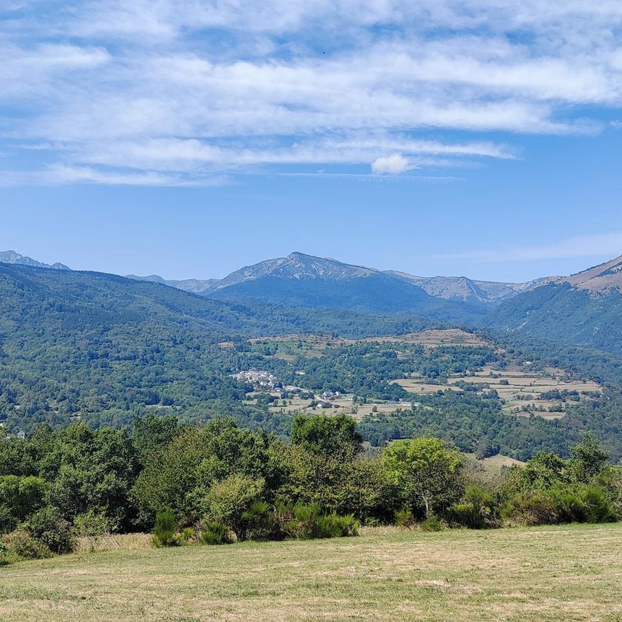
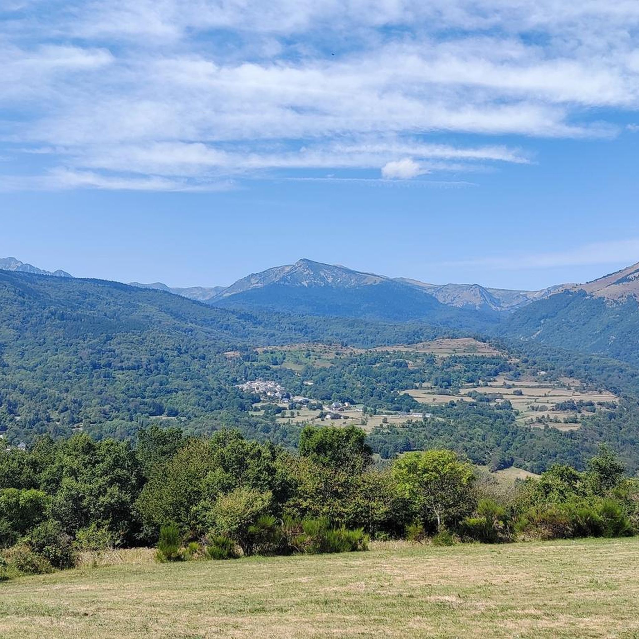
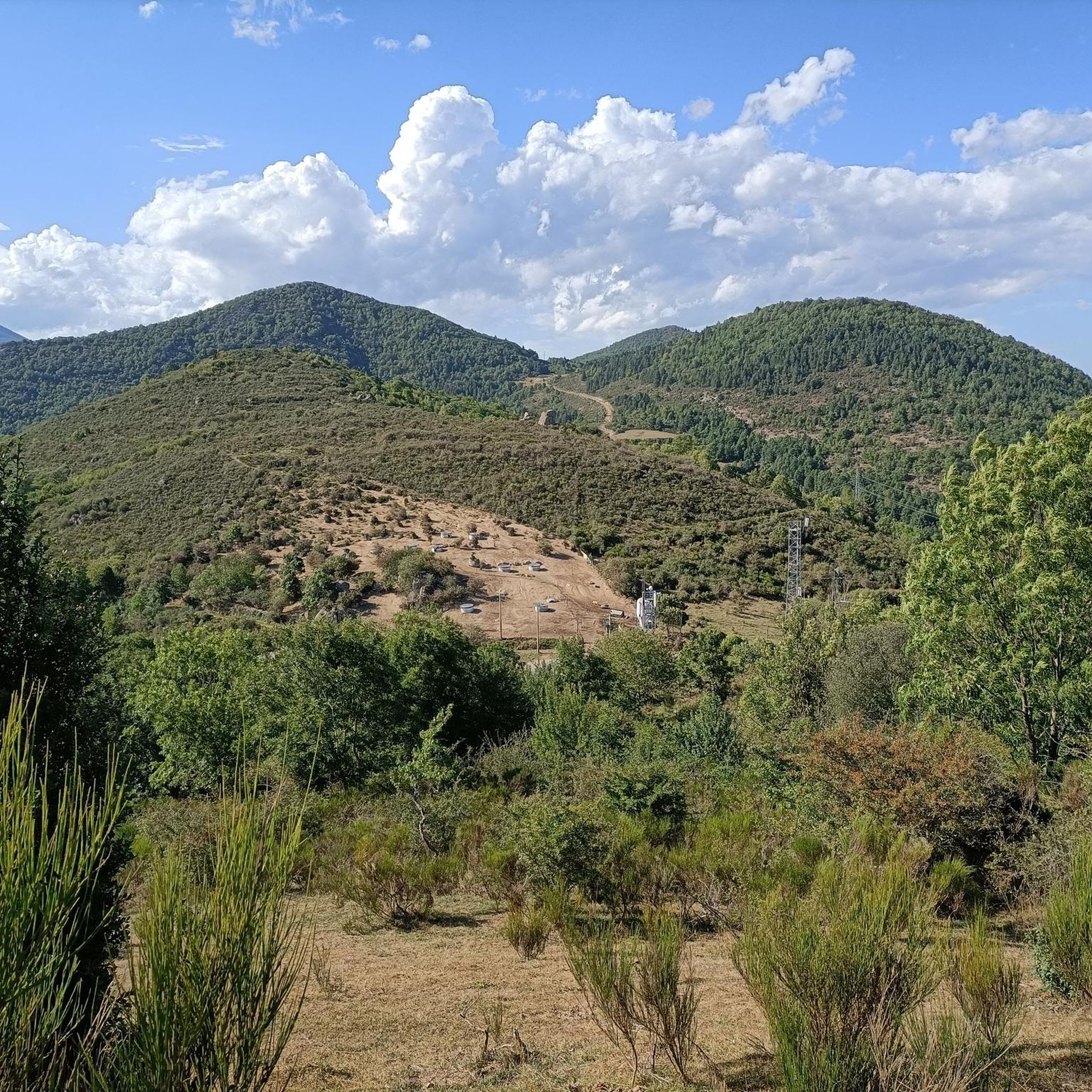
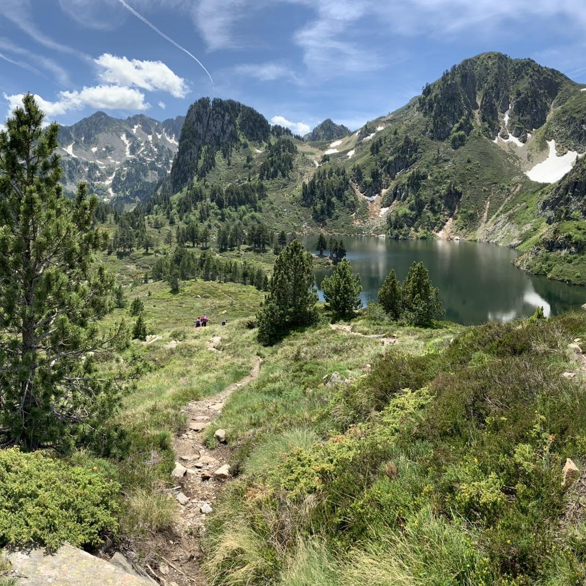

Tips from the Community

The descent on the west slope towards Ax-les-Thermes is superb.
0
0

This spot is the same as the parking lot and the building of the Mijanès ski resort. I'll tell you about several interesting points about this place: - During the winter months, when the ski resort is open, there is a bar serving food. I'm mentioning this in case anyone is interested in climbing Port de Pailhères during these months. - This is where the road from Mijanès ends, and it is cleared when there is snow. During the winter months, there is a large barrier that prohibits the passage of cars and motorcycles, but it can be easily crossed by bike. If the barrier is down and you decide to climb by bike, keep in mind that you may encounter sections of the road with real mountains of snow. - From this point on, during the summer months, in addition to enjoying the road and the pass, you will constantly see herds of horses and cows. This is especially notable on sunny days in June and July.
0
0


From Axat, it's a long climb, 18km. It's quite beautiful down in the gorges, then a few kilometers of fairly monotonous woods. Arriving on the plateau, it clears up but it's rural. The impressive view is worth it when you reach the pass. Going down there must be a blast, the tarmac is good, it's quite wide and there's little traffic. I went down via Escouloubre: the tarmac is bad, gravel, but the forest is enchanting! Why not go the other way, then, up via Escouloubre and down via Bousquet / Roquefort etc.?
1
0

The Col de Pailhères isn't the most well-known of the Pyrenean passes, yet it's a concentration of everything cyclists are looking for. From Ax-les-Thermes, the slopes of this hors catégorie route constantly vary, requiring constant adjustments to finish at an altitude of over 2,000 meters in a superb setting.
0
0
My experience on this stretch was downhill, once I reached the top of the Col des Aychides. It is a narrow road with uneven asphalt, where you have to be careful, although I have to admit that I found it beautiful and very fun. Although there is a considerable precipice on the left, I was not scared at any time. You go through a couple of small tunnels dug into the mountain, which gives it a lot of charm. It is a beautiful stretch.
1
0

What saved me further up the pass was a beautiful historic fountain where I could get water and cool off.
0
0
Absolutely great route for cyclists. One curve after another, uphill or downhill in a great scenic setting.
0
0
Frequently Asked Questions
What kind of road cycling routes can I expect around Le Puch?
Le Puch, situated in the Ariège Pyrenees, offers a diverse range of road cycling experiences. You'll find quiet roads and challenging terrain, characterized by significant climbs and panoramic views. The region is known for its low population density, ensuring a serene cycling experience. Routes range from moderate climbs to difficult ascents, with many featuring high-altitude passes.
How many road cycling routes are available in Le Puch?
There are 24 road cycling routes available around Le Puch. This includes 1 easy route, 9 moderate routes, and 14 difficult routes, catering to various skill levels.
Are there any family-friendly or beginner road cycling routes in Le Puch?
While many routes in Le Puch are challenging, there is 1 easy road cycling route available. For those seeking a gentler experience, the wider Ariège region also features 'Voie Verte' (Greenways), which are traffic-free bike paths built on former railway lines, offering gentle slopes and scenic views. These are ideal for families or beginners.
What are some of the most challenging climbs or passes in the Le Puch area?
The Ariège Pyrenees, encompassing Le Puch, are famous for their challenging climbs. The Pailhères Pass is a prominent feature on several routes, known for its high altitude. The region is also home to iconic ascents like the Plateau de Beille, a 'hors catégorie' climb frequently featured in the Tour de France, known for its relentless gradients and spectacular views.
Are there any circular road cycling routes around Le Puch?
Yes, several circular road cycling routes are available. For a challenging loop, consider the Goulours Dam – Pailhères Pass loop from Le Pla, a difficult 65.5 km route with over 2,200 meters of elevation gain. Another option is the Mijanès – Lake Matemale loop from Rouze, a difficult 52.8 km path offering scenic views.
What scenic viewpoints or attractions can I find along the road cycling routes?
The routes around Le Puch offer stunning mountainous grandeur and lush valleys. You can enjoy spectacular panoramas from high-altitude areas like the Pailhères Pass. Other notable attractions include the Mijanès Pastoral Refuge and Col du Garavel (1256 m). The region also features beautiful lakes such as Laurenti Lake and Lake Puyvalador.
What do other road cyclists enjoy most about road cycling in Le Puch?
The road cycling routes around Le Puch are highly rated by the komoot community, with an average score of 4.6 stars from over 40 reviews. Cyclists frequently praise the challenging ascents, the serene experience on quiet roads, and the magnificent mountain landscapes of the Ariège Pyrenees.
Are there any routes that pass through gorges or offer unique natural features?
Yes, for a route featuring dramatic natural scenery, consider the Gorges du Rébenty – Gorges de Saint-Georges loop from Rouze. This difficult 62.2 km route takes you through impressive gorges, showcasing the varied geology of the region.
What is the best time of year to go road cycling in Le Puch?
The Ariège Pyrenees are best enjoyed for road cycling during the warmer months, typically from late spring to early autumn. This period offers more stable weather conditions and ensures that high-altitude passes like the Pailhères Pass are clear of snow and accessible. Summer provides lush landscapes and longer daylight hours.
What is the general terrain like for road cycling in Le Puch?
The terrain around Le Puch is predominantly mountainous, characterized by a granitic plateau at an approximate altitude of 1,180 meters. You'll encounter significant climbs and descents, with the highest point in Le Puch, Roc de Quéral, reaching 1,260 meters. The roads are generally quiet, winding through forests and valleys, offering a mix of challenging ascents and scenic stretches.
Most popular attractions around Le Puch

Get inspired with the komoot mobile app


Explore more
Browse the best Road cycling routes in other regions.
