The best running trails around Saint-Hilaire-Sous-Romilly
4.8
(27)
768
runners
64
runs
Jogging routes around Saint-Hilaire-Sous-Romilly traverse a rural landscape characterized by open fields and gentle inclines. The area features signposted trails, including sections of the "From the Bassée to the Haute Plaine" network, offering varied distances for running. With an average altitude of approximately 80 meters, the terrain provides accessible paths suitable for different fitness levels. The natural environment offers tranquility and open spaces for outdoor activities.
Best jogging routes around Saint-Hilaire-Sous-Romilly
- The most popular jogging route is Running loop from…
Last updated: July 9, 2026
5
runners
12.7km
01:18
20m
20m
Moderate run. Good fitness required. Mostly paved surfaces. Suitable for all skill levels.
3.0
(1)
2
runners
8.82km
01:00
10m
10m
Moderate run. Good fitness required. Mostly paved surfaces. Suitable for all skill levels.

Sign up for free
3
runners
8.57km
00:55
80m
80m
Moderate run. Good fitness required. Mostly paved surfaces. Suitable for all skill levels.
2
runners
14.1km
01:28
20m
20m
Moderate run. Good fitness required. Mostly paved surfaces. Suitable for all skill levels.
3
runners
5.44km
00:34
10m
10m
Moderate run. Good fitness required. Mostly paved surfaces. Suitable for all skill levels.
Get access to more routes and recommendations from other explorers.
Sign up for free
Already have an account?
Our route recommendations are based on thousands of hikes, rides, and runs completed by other people on komoot.
Start today with a free account
Your next adventure awaits.
Login or Signup
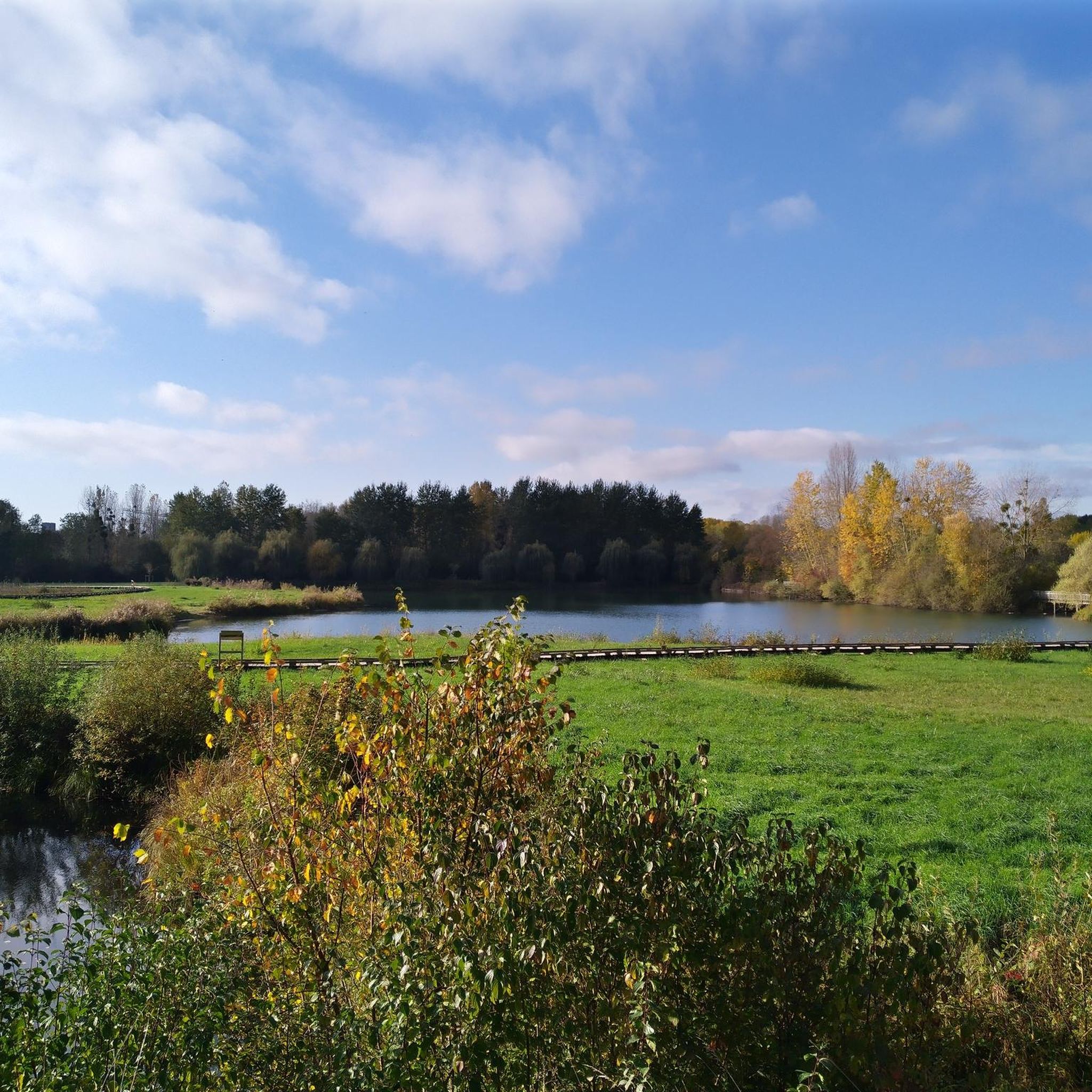
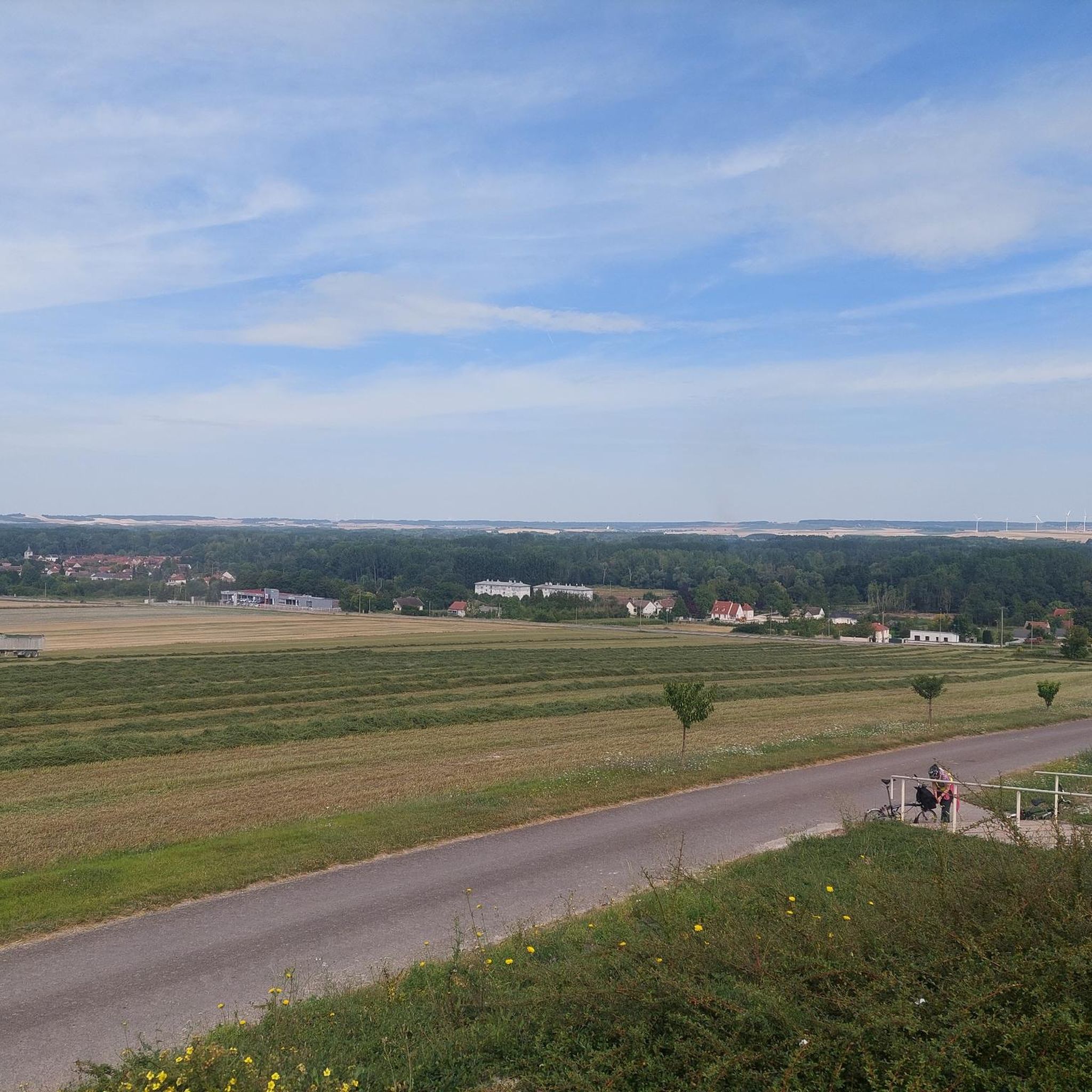
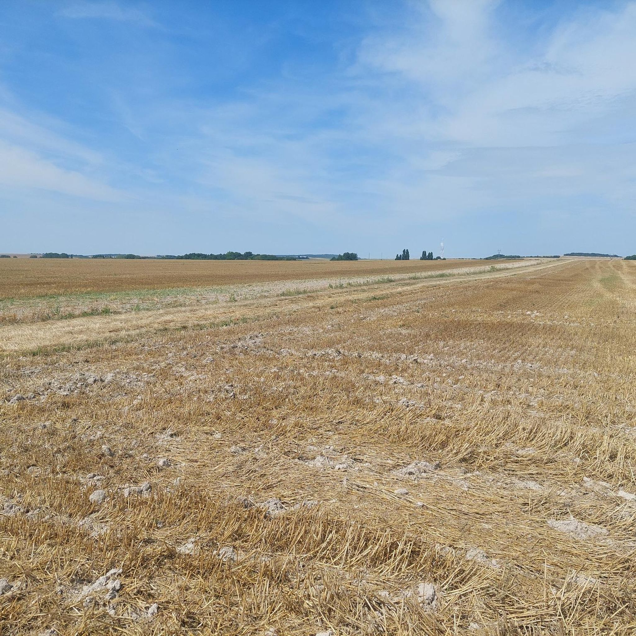
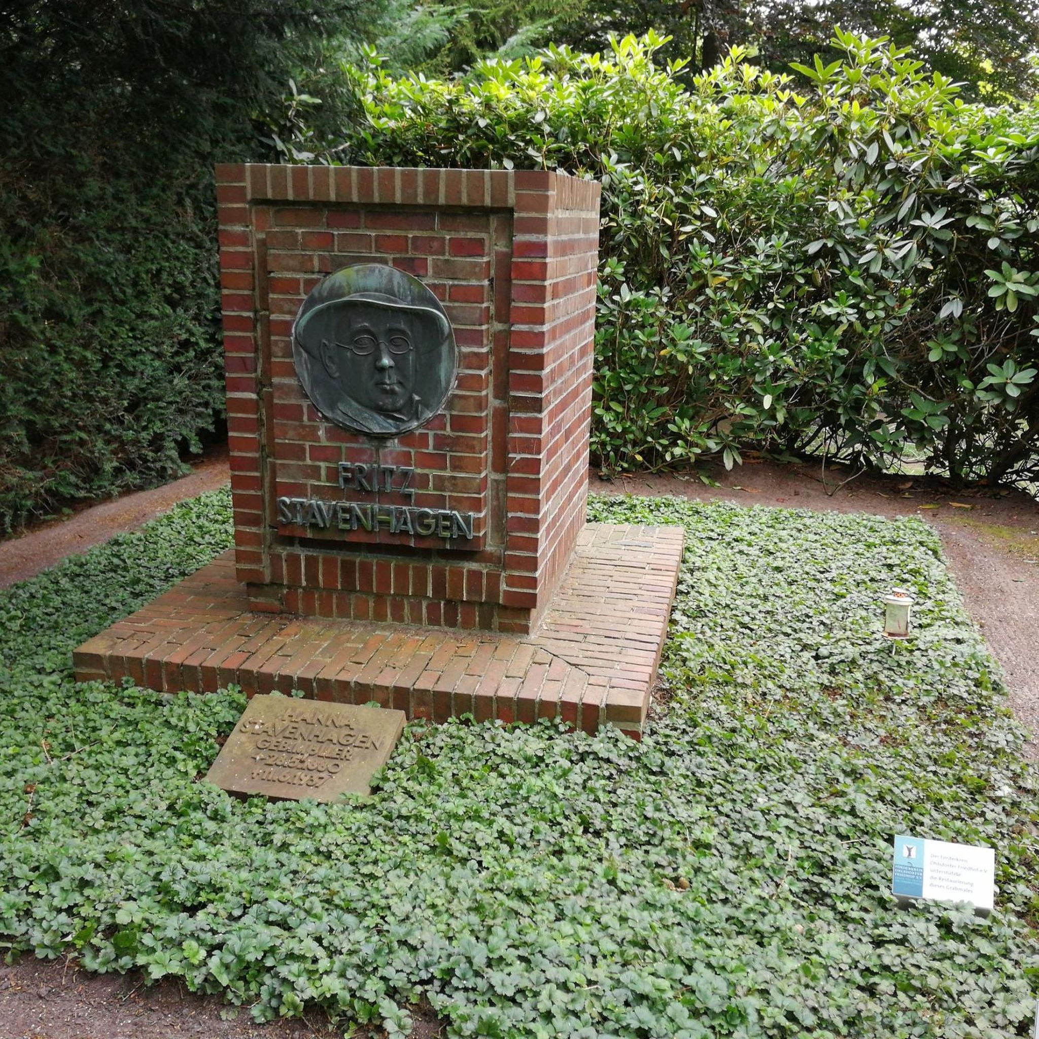
Tips from the Community

The Aiguilles dam of Romilly-Sur-Seine is a hydraulic structure which regulates the level of the Seine to facilitate navigation. It is made of wooden beams called trusses and vertical planks called needles, which rise or lower depending on the flow of the river.
3
0
Frequently Asked Questions
How many running routes are available around Saint-Hilaire-Sous-Romilly?
There are over 60 running routes available in the Saint-Hilaire-Sous-Romilly area, catering to various fitness levels. These routes traverse the tranquil rural landscape, offering a peaceful experience for joggers.
What is the general difficulty level of jogging trails in Saint-Hilaire-Sous-Romilly?
The majority of jogging trails in Saint-Hilaire-Sous-Romilly are rated as moderate, with 49 routes falling into this category. There are also 5 easy routes and 6 difficult routes, ensuring options for all experience levels. The terrain generally features gentle inclines and open fields.
Are there any circular running routes in the area?
Yes, many of the running routes around Saint-Hilaire-Sous-Romilly are circular. For example, the Running loop from Hameau de Lion is a popular 4.4-mile (7.1 km) moderate loop, and the Running loop from La Fosse-Corduan offers another moderate 5.3-mile (8.5 km) option.
What kind of scenery can I expect on the jogging routes?
Joggers can expect picturesque rural scenery, characterized by open fields and tranquil natural environments. Some routes, like the Bridge over the Seine loop from Pont-sur-Seine, offer riverside views along the Seine. The area's average altitude of 80 meters provides a landscape with gentle undulations.
Are there any landmarks or points of interest along the running trails?
While the routes primarily focus on the natural rural landscape, you can find points of interest nearby. The Saint-Hilaire Church offers a notable viewpoint. Other attractions in the broader area include the Remembrance Park and the Double Guillotine Lock No. 12-13 of Saint-Just-Sauvage.
What do other runners say about the trails in Saint-Hilaire-Sous-Romilly?
The running routes in Saint-Hilaire-Sous-Romilly are highly regarded by the komoot community, with an average rating of 4.7 stars from 13 reviews. Over 600 runners have explored the area, often praising the well-established paths and the serene rural experience.
Are there longer distance running options available?
Yes, for those seeking longer runs, routes like The needle dam – Needles dam loop from Romilly-sur-Seine cover 9.1 miles (14.6 km) through rural paths and open fields. Another option is The needle dam loop from Romilly-sur-Seine, which is 8.6 miles (13.8 km) long.
Is Saint-Hilaire-Sous-Romilly suitable for family-friendly jogging?
The rural and tranquil environment of Saint-Hilaire-Sous-Romilly, with its gentle inclines and signposted trails, makes it suitable for family-friendly jogging. Many of the easy and moderate routes offer accessible paths for a pleasant outing with children.
What is the best time of year to go jogging in Saint-Hilaire-Sous-Romilly?
The rural landscape of Saint-Hilaire-Sous-Romilly is enjoyable throughout the year. Spring and autumn offer pleasant temperatures and vibrant scenery, while summer provides longer daylight hours. Even in winter, the open paths can be suitable, though conditions may vary.
Are there specific signposted trails for running in the region?
Yes, the area benefits from signposted trails, including sections of the prominent 'From the Bassée to the Haute Plaine' network. These trails connect Saint-Hilaire-sous-Romilly with neighboring towns and offer multiple loops of varying distances, ideal for running.
What kind of terrain can I expect on the running paths?
The running paths primarily consist of rural trails and paths through open fields. The landscape is generally gentle, with an average altitude of approximately 80 meters, meaning you'll encounter mostly flat sections with some mild inclines, suitable for a comfortable running experience.
Most popular routes around Saint-Hilaire-Sous-Romilly
Most popular attractions around Saint-Hilaire-Sous-Romilly

Get inspired with the komoot mobile app


Explore more
Browse the best Running Trails & Routes in other regions.
