The best running trails around Märstetten
4.4
(306)
7,672
runners
213
runs
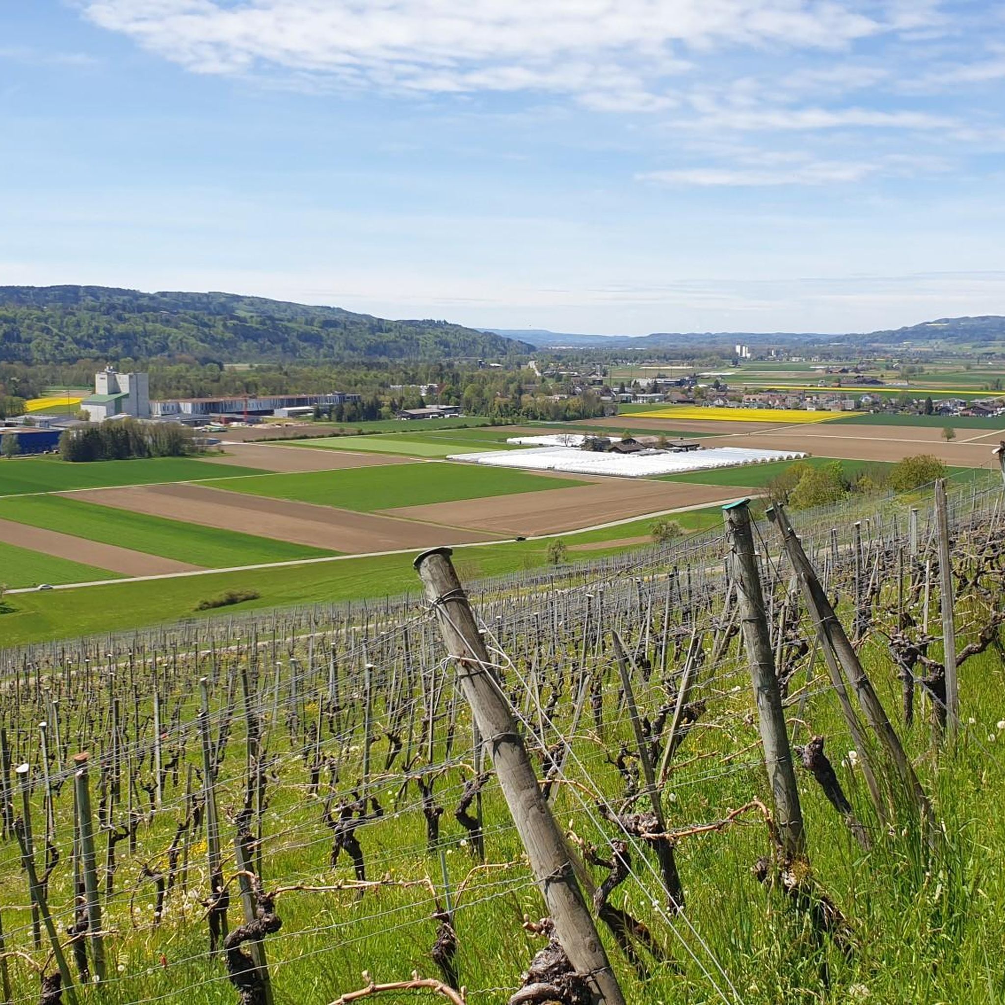
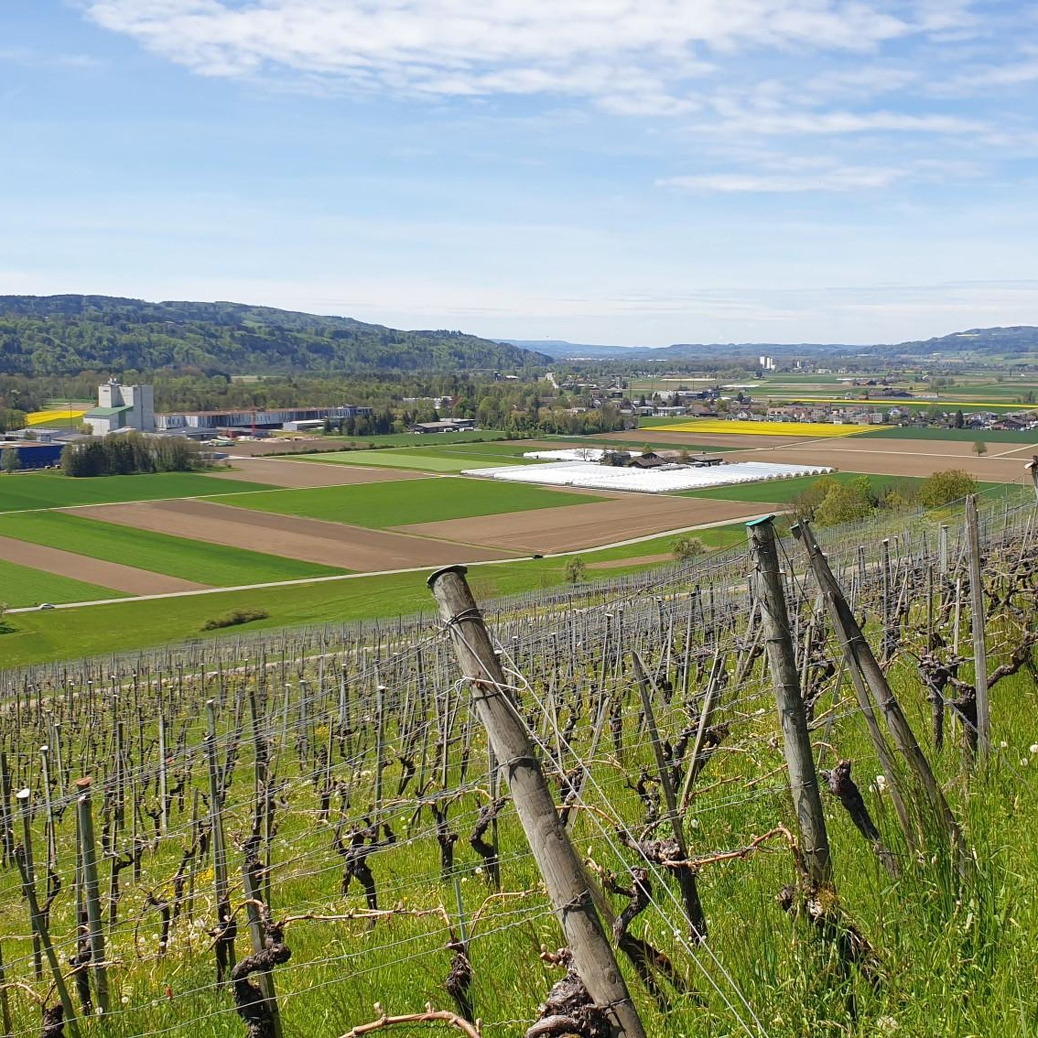
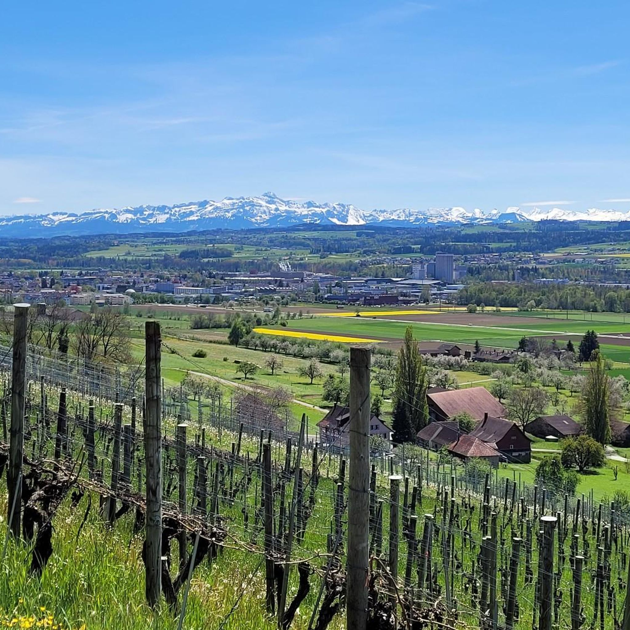
Jogging around Märstetten offers a diverse landscape for runners, situated in the fertile Thur Valley at the southern base of the Ottenberg mountain. The region features a mix of flat paths along the Thur River, gentle trails through meadows and farmlands, and more challenging ascents on the Ottenberg. An extensive network of trails, including paths along the Kemmenbach stream, provides varied terrain for different running preferences.
Best jogging routes around Märstetten
- The most popular jogging route is Ottoberg – Wine…
Last updated: October 4, 2026
5.0
(2)
38
runners
16.4km
01:52
370m
370m
Hard run. Very good fitness required. Mostly paved surfaces. Suitable for all skill levels.
5.0
(1)
40
runners
11.3km
01:10
50m
50m
Moderate run. Good fitness required. Mostly paved surfaces. Suitable for all skill levels.

3.0
(1)
17
runners
Moderate run. Good fitness required. Mostly paved surfaces. Suitable for all skill levels.
22
runners
18.0km
01:52
50m
50m
Hard run. Very good fitness required. Mostly paved surfaces. Suitable for all skill levels.
12
runners
Moderate run. Good fitness required. Mostly paved surfaces. Suitable for all skill levels.
Get access to more routes and recommendations from other explorers.
Already have an account?
Our route recommendations are based on thousands of hikes, rides, and runs completed by other people on komoot.
Start today with a free account
Your next adventure awaits.
Tips from the Community

Weinfelden has very beautiful old half-timbered houses.
0
0

Far from being "mega".
1
0

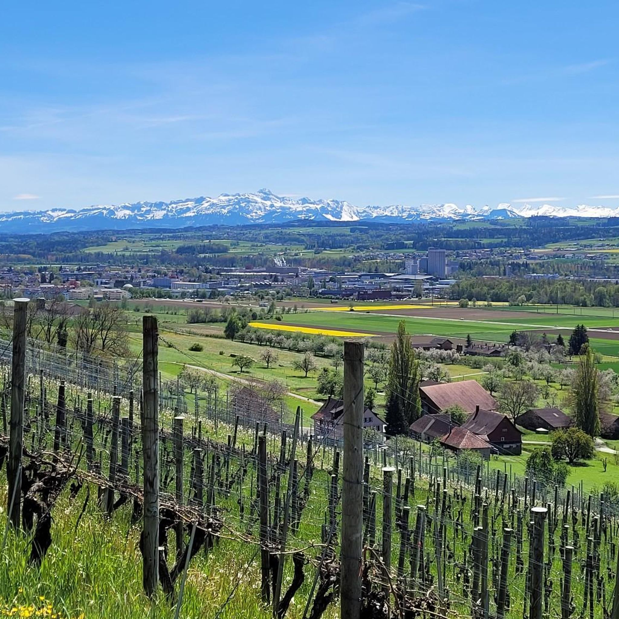
This is a wonderful route when you have a view of the Alps, as you have the magnificent panorama almost continuously in front of you.
2
0

Because it is centrally located and the church is also close
1
0

Grill grate and wood available.
0
0

There is a hiking car park at the exit of the town, so you don't have to look for a parking space in town.
1
0
Listed residential building with a mill from 1634. Here, after more than 200 years of operation, the foundation stone for the Zwicky mill was laid in 1892, which moved on in 1911. Between 2006 and 2014, the property was extended and lovingly converted and restored. The mill is still functional today.
2
0
The Ganggelisteg (Ganggeli = rocking) between Bussnang and Weinfelden was built in 1982.
2
0
Frequently Asked Questions
What makes Märstetten a great place for running?
Märstetten offers a diverse and appealing landscape for runners, situated in the fertile Thur Valley at the southern base of the Ottenberg mountain. You'll find a mix of flat paths along the Thur River, gentle trails through meadows and farmlands, and more challenging ascents on the Ottenberg. The romantic Kemmenbach stream also features trails winding through forests, providing varied and scenic routes for all preferences.
How many running routes can I find in the Märstetten area?
There are over 200 running routes available around Märstetten, offering a wide range of options for different skill levels and preferences. The komoot community has explored more than 219 routes in the region.
Are there any easy running routes suitable for beginners or a relaxed jog?
Yes, Märstetten offers several easy running routes. You can find 11 routes specifically categorized as easy. These typically feature flatter terrain, such as paths along the Thur River or through meadows, perfect for a gentle run.
Can I find circular running routes in Märstetten?
Many of the running routes around Märstetten are designed as loops, allowing you to start and finish at the same point. For example, the Weinfelden Old Town loop from Weinfelden is a moderate 8.7 km path that offers a great circular experience.
What kind of natural attractions or viewpoints can I expect along the running trails?
The region boasts several natural attractions. The Ottenberg mountain offers picturesque views over the Thur Valley and towards the Alps. You might also encounter the romantic Kemmenbach stream or the Wisterenweiher pond. For those interested in waterfalls, the area around Märstetten features several, such as the Upper Rütibach Waterfall or the Saubach Waterfalls.
Are there any running routes that pass through historic or cultural sights?
Yes, some routes incorporate cultural points of interest. For instance, the Weinfelden Old Town – Thur Bürglen Playground loop from Weinfelden passes through the historic old town, allowing you to see beautiful timber-framed buildings like the 'Hohe Haus' and St. Jakob Church. The farming hamlet of Boltshausen also offers attractive 'roof landscape' views.
What is a good moderate-difficulty running route in the area?
A popular moderate-difficulty option is the Ganggelisteg Suspension Bridge – Thur Bridge at Amlikon loop from Weinfelden. This 8.6 km trail leads through the Thur Valley and can typically be completed in about 54 minutes.
Are there any longer or more challenging running routes for experienced runners?
Absolutely. For a more challenging experience, consider the Ottoberg – Wine Trail with Weinfelden Castle loop from Weinfelden. This difficult 16.5 km trail takes about 1 hour 51 minutes to complete and includes significant elevation gain on the Ottenberg, offering rewarding views.
What do other runners say about the trails in Märstetten?
The running routes in Märstetten are highly rated by the komoot community, with an average score of 4.4 stars from over 240 reviews. Runners often praise the varied topography, from the challenging slopes of the Ottenberg to the flat paths of the Thur Valley, and the well-maintained trails.
Can I go running in Märstetten during winter?
While the guide focuses on jogging, the region's landscape, particularly the Ottenberg, is known for its accessibility even in winter. When there's sufficient snow, cross-country ski runs are prepared on Ottenberg, indicating well-maintained terrain that can be suitable for winter running, weather permitting.
Are there any running routes that offer views of the Thur River?
Yes, many routes follow the Thur River, providing scenic views. The View of the River Thur – Weinfelden Old Town loop from Weinfelden is a difficult 18 km route that offers extensive views of the river and passes through the historic old town.
Most popular routes around Märstetten
Most popular attractions around Märstetten

Get inspired with the komoot mobile app


Explore more
Browse the best Running Trails & Routes in other regions.
