The best walks and hikes around Boisleux-Saint-Marc
4.5
(308)
3,042
hikers
185
hikes
Hiking around Boisleux-Saint-Marc offers diverse terrain across the Artois region of Pas-de-Calais, France. The landscape features a mix of open plains, gentle hills, and the scenic Cojeul River Valley. These natural elements provide varied hiking opportunities, from tranquil riverside paths to routes with moderate elevation changes. The area is characterized by its rural, bucolic scenery and agricultural heritage.
Best hiking trails around Boisleux-Saint-Marc
- The most popular hiking route is Citadelle d'Arras — loop from Beaurains, a difficult 13.5 miles…
Last updated: July 9, 2026
4.4
(5)
15
hikers
21.6km
05:34
100m
100m
Hard hike. Very good fitness required. Easily-accessible paths. Suitable for all skill levels.
2.7
(3)
25
hikers
17.4km
04:29
90m
90m
Moderate hike. Good fitness required. Easily-accessible paths. Suitable for all skill levels.

Sign up for free
6
hikers
18.3km
04:43
90m
90m
Moderate hike. Good fitness required. Easily-accessible paths. Suitable for all skill levels.
5.0
(1)
7
hikers
15.2km
03:54
70m
70m
Moderate hike. Good fitness required. Easily-accessible paths. Suitable for all skill levels.
4
hikers
16.6km
04:18
100m
100m
Moderate hike. Good fitness required. Easily-accessible paths. Suitable for all skill levels.
Get access to more routes and recommendations from other explorers.
Sign up for free
Already have an account?
Our route recommendations are based on thousands of hikes, rides, and runs completed by other people on komoot.
Start today with a free account
Your next adventure awaits.
Login or Signup



Tips from the Community

Between Crinchon and family gardens, a peaceful route ideal for strolling.
1
0

a very pleasant treetop adventure course is taking shape on this route inside the citadel
2
0

Organized hike, lots of fields, no forest, shame 😏
0
0

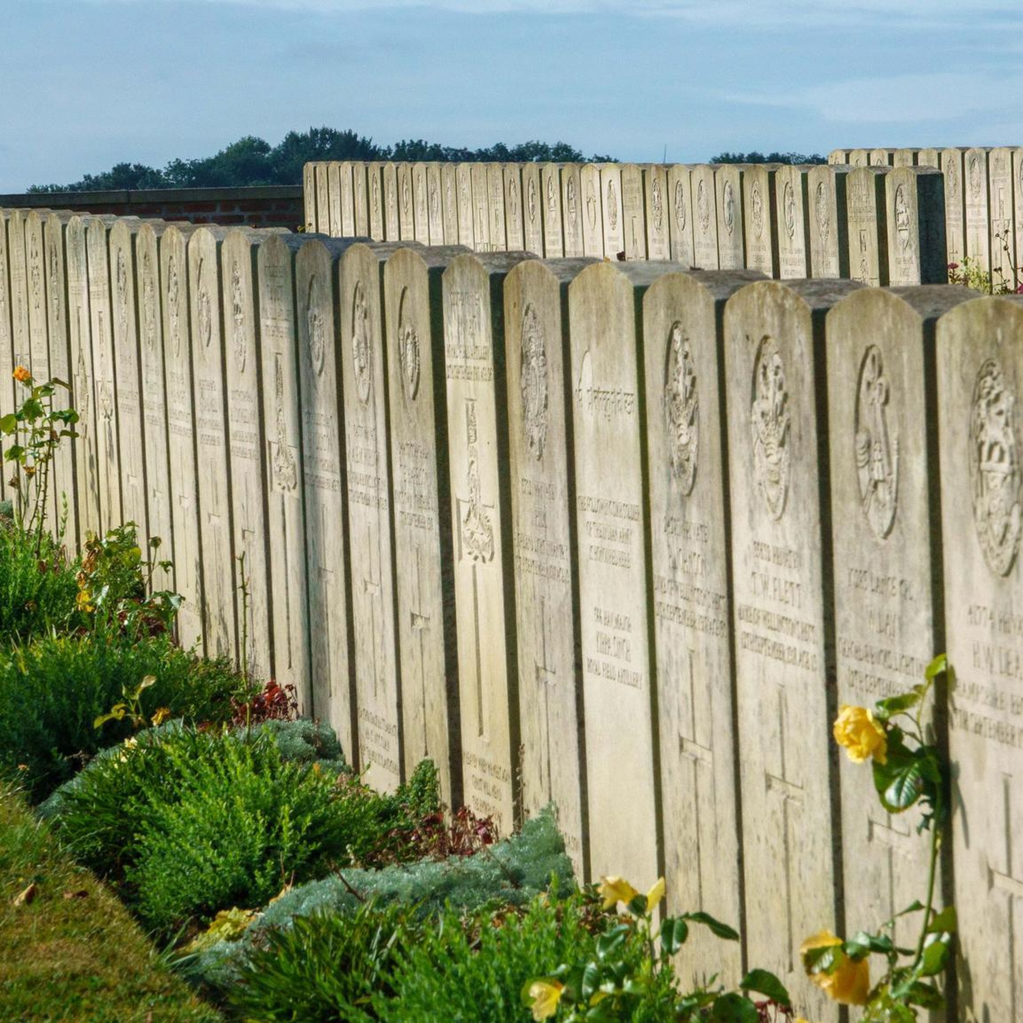
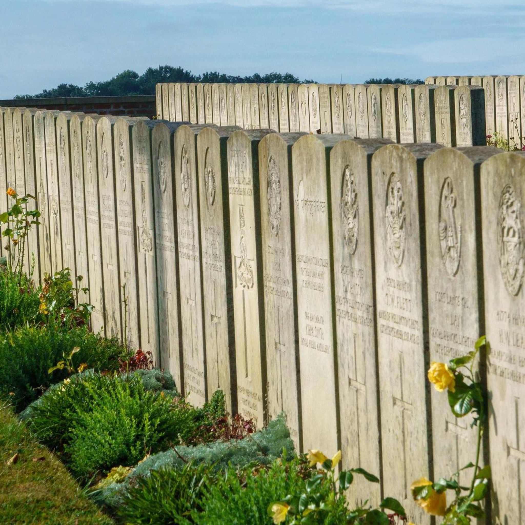
Historical interpretation: The village of Tilly-les-Mofflaines was captured by Commonwealth troops on April 9, 1917, but was again partially in German hands from March to August 1918. "Houdain Lane" was a trench in the area between Tilloy and Feuchy. The cemetery was established in April 1917 by units of the 12th (Eastern), 15th (Scottish) and 37th Divisions. The cemetery contains 76 graves from the First World War.
1
0
An oasis of peace... The Parc des Grandes Prairies, which of course makes up a small part of Arras in Sainte-Catherine-lès-Arras, is one of the largest natural areas on the continent. It was inaugurated in 1984 and has developed over the years into a true haven for nature lovers looking for relaxation and tranquility.
1
0
The Enclosure of Arras is an ancient fortification site that protects the city of Arras. This set was built in the Middle Ages and then modified to adapt it to artillery.
1
0
A unique architectural whole The citadel of Arras was never besieged, hence its nickname “the belle inutile”, and is a well-preserved witness of the military buildings of the 17th century.
2
0
Once past the Porte Royale you will immediately see the Timescope on the side of the Saint-Louis chapel. This takes you back to 1678, 10 years after the start of the construction of this citadel on behalf of King Louis XIV of Vauban.
3
0
Frequently Asked Questions
How many hiking trails are available around Boisleux-Saint-Marc?
There are over 180 hiking trails around Boisleux-Saint-Marc, offering a wide range of options for different skill levels. This includes approximately 85 easy routes, 95 moderate routes, and 8 more challenging trails.
What kind of terrain can I expect on hikes in the Boisleux-Saint-Marc area?
The terrain around Boisleux-Saint-Marc is quite varied, characterized by a mix of open plains, gentle rolling hills, and scenic river valleys. You'll find tranquil paths along the Cojeul River, as well as routes that traverse the bucolic countryside and agricultural fields of the Artois region.
Are there any family-friendly hiking options in Boisleux-Saint-Marc?
Yes, the area offers many family-friendly options, particularly along the river valleys and open plains which feature flat, accessible paths. These routes provide a tranquil setting for leisurely walks suitable for all ages. Look for the numerous easy-rated trails available.
Can I bring my dog on the hiking trails around Boisleux-Saint-Marc?
Many trails in the Boisleux-Saint-Marc area are suitable for dogs, especially those through open countryside and along riverbanks. It's always recommended to keep your dog on a leash and ensure you clean up after them to respect the local environment and other hikers.
What are some notable landmarks or attractions I can see while hiking?
While hiking, you can explore several interesting landmarks. The historic Arras Citadel is a significant point of interest, and you might also encounter the Wall of the Executed at the Citadel of Arras. The scenic Scarpe riverbanks also offer picturesque views.
Are there any circular hiking routes available?
Yes, there are several circular routes. For example, the moderate Hiking – Le Crinchon loop from Beaurains takes you through the scenic Crinchon river valley. Another option is the moderate Le Crinchon – Arras Citadel loop from Beaurains, which explores the riverine environment and passes by the Citadel.
What do other hikers say about the trails in Boisleux-Saint-Marc?
The trails in Boisleux-Saint-Marc are highly rated by the komoot community, with an average score of 4.5 stars from over 250 reviews. Hikers often praise the varied terrain, the tranquil river valleys, and the well-maintained paths that allow for diverse outdoor experiences.
Are there any challenging hikes for experienced hikers?
Yes, for experienced hikers seeking a challenge, there are a few difficult routes. One such option is the Citadelle d'Arras — loop from Beaurains, which is a 21.6 km trail with over 100 meters of elevation gain, typically taking over 5 hours to complete.
What is the best time of year to go hiking in Boisleux-Saint-Marc?
The region's mix of plains, gentle hills, and river valleys makes it enjoyable for hiking across multiple seasons. Spring and autumn offer pleasant temperatures and vibrant scenery, while summer provides longer daylight hours. Even in winter, the accessible paths along river valleys can be suitable for walks, though conditions may vary.
Are there any hikes that pass by historical sites or memorials?
Yes, some routes incorporate historical sites. For instance, the moderate Hiking – Arras Memorial loop from Beaurains and the Hiking – Arras Memorial loop from Agny both offer opportunities to visit the Arras Memorial and other significant historical points in the area.
Is public transport available to reach hiking trailheads?
While specific public transport connections directly to every trailhead might be limited, the region is part of the broader Artois area. It is advisable to check local bus services or regional transport options that connect to towns like Beaurains or Agny, from where many popular trails originate.
Are there opportunities for longer, multi-hour hikes?
Absolutely. Many trails in the area are designed for longer excursions. For example, the Citadelle d'Arras — loop from Beaurains is a difficult 21.6 km route that takes over 5 hours, while the moderate Le Crinchon – Arras Citadel loop from Beaurains is 17.4 km, offering a substantial hike.
Most popular routes around Boisleux-Saint-Marc
Most popular attractions around Boisleux-Saint-Marc

Get inspired with the komoot mobile app


Explore more
Browse the best Hikes in other regions.
