The best walks and hikes around Larnat
4.4
(529)
5,295
hikers
152
hikes
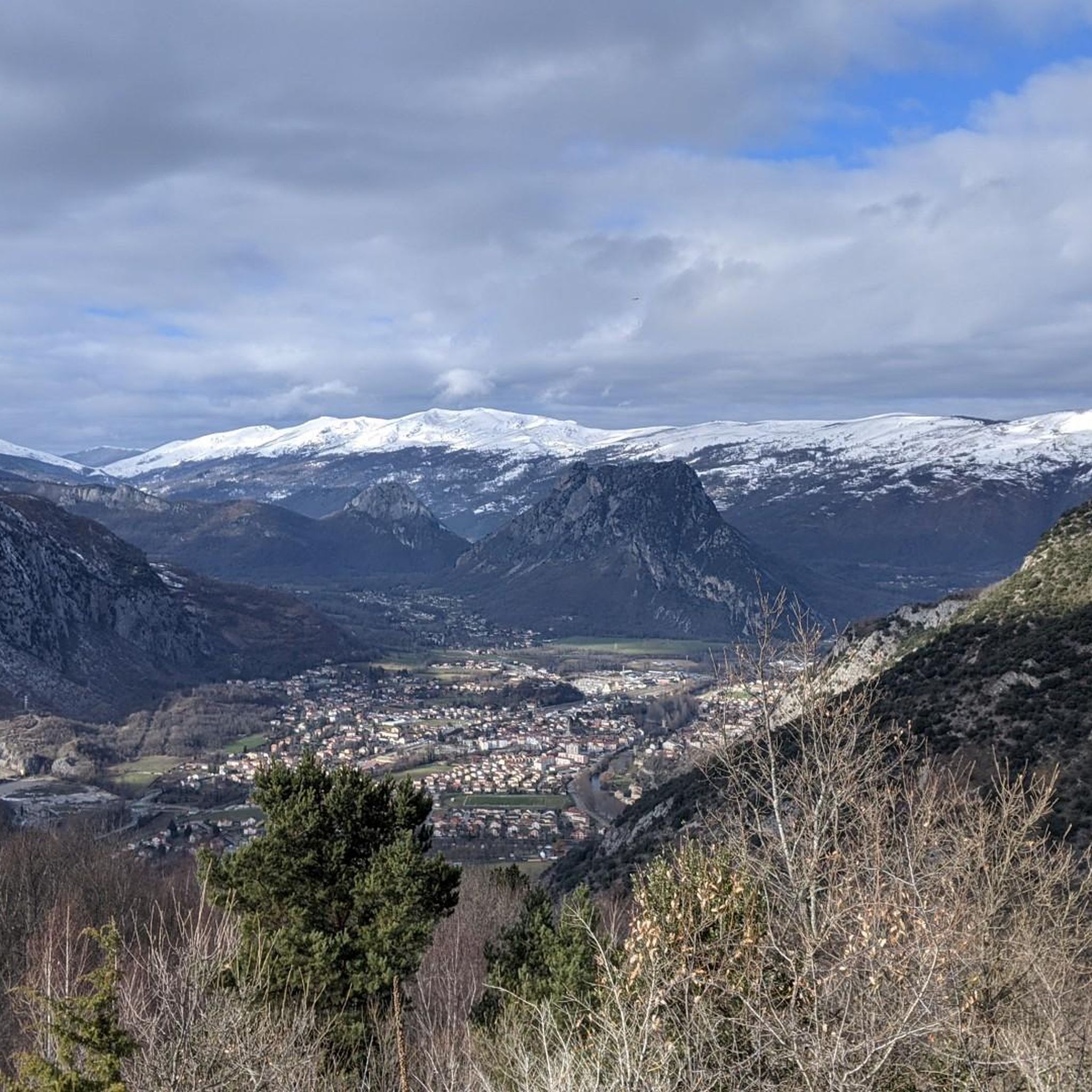
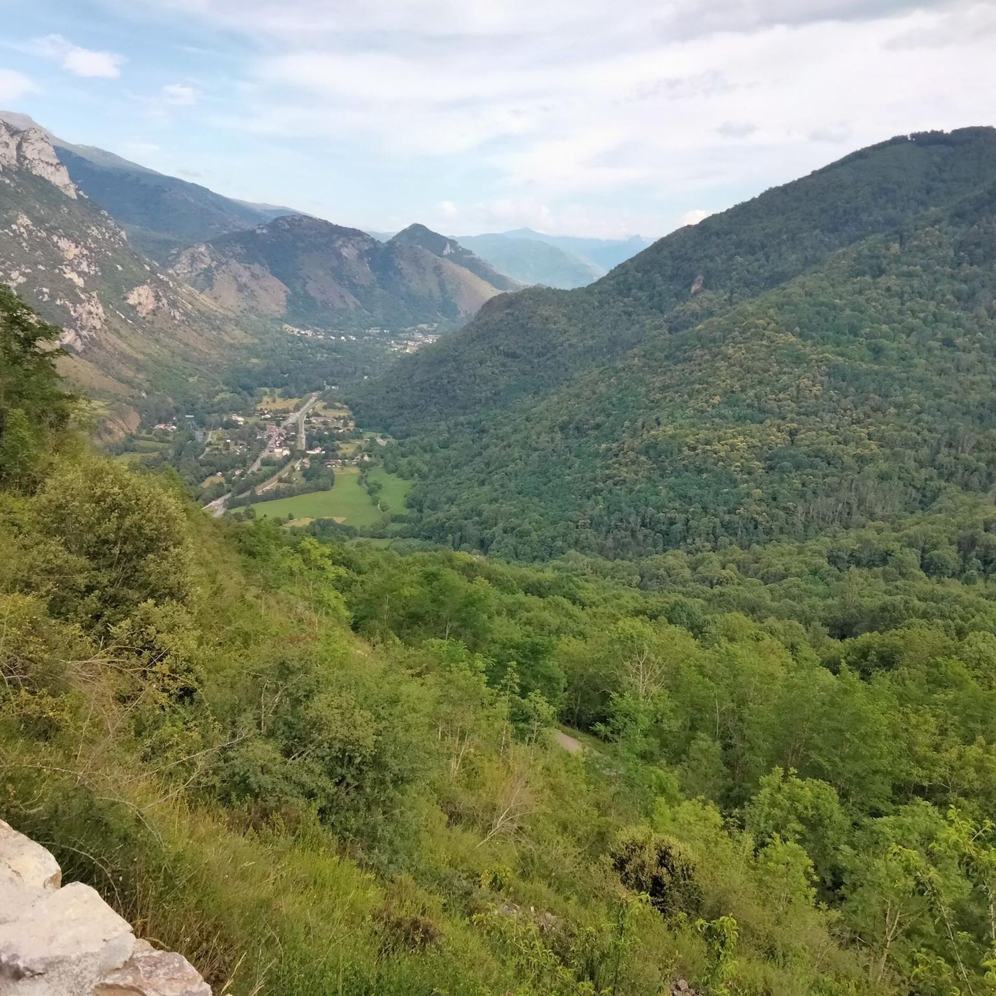
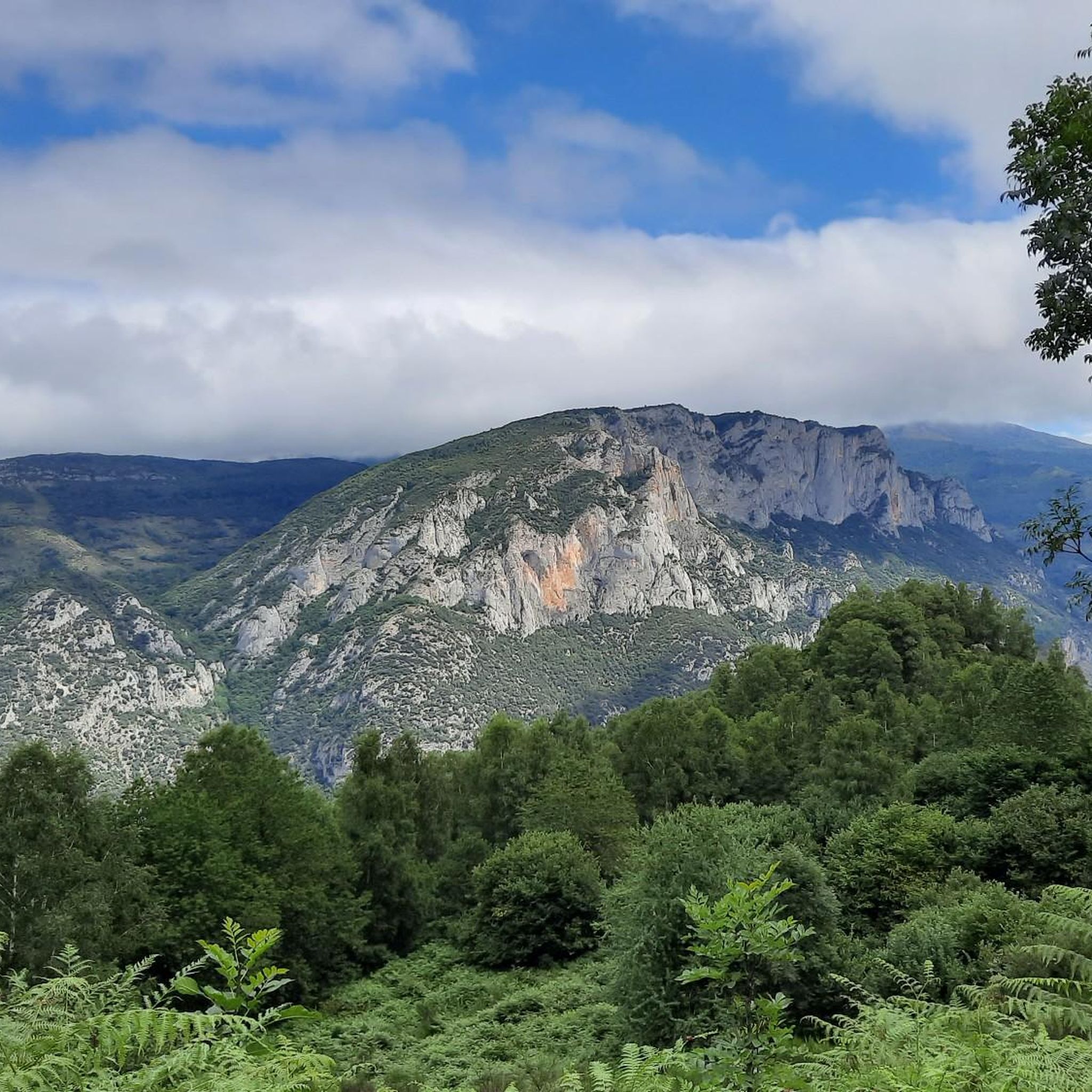
Hiking around Larnat offers access to the eastern Ariège Pyrenees, characterized by mountainous terrain and diverse trails. The region features verdant valleys, imposing peaks, and high-altitude plateaus like Plateau de Beille. Hikers can explore varied environments including forests of beech and spruce, alongside streams, and to tranquil lakes. The landscape provides a range of paths from accessible walks to challenging mountain ascents.
Best hiking trails around Larnat
- The most popular hiking route is Hiking loop from Larcat, a 3.2…
Last updated: July 4, 2026
4.3
(10)
74
hikers
5.12km
01:56
350m
350m
Moderate hike. Good fitness required. Easily-accessible paths. Suitable for all skill levels.
4.5
(11)
60
hikers
8.36km
02:27
240m
240m
Moderate hike. Good fitness required. Easily-accessible paths. Suitable for all skill levels.

Sign up for free
4.8
(8)
37
hikers
8.03km
02:45
390m
390m
Moderate hike. Good fitness required. Mostly accessible paths. Sure-footedness required.
4.8
(5)
18
hikers
13.7km
04:50
620m
620m
Moderate hike. Good fitness required. Mostly accessible paths. Sure-footedness required.
5.0
(4)
47
hikers
12.5km
05:24
820m
820m
Hard hike. Very good fitness required. Mostly accessible paths. Sure-footedness required.
Get access to more routes and recommendations from other explorers.
Sign up for free
Already have an account?
Our route recommendations are based on thousands of hikes, rides, and runs completed by other people on komoot.
Start today with a free account
Your next adventure awaits.
Login or Signup
Tips from the Community


It is a tough walk. The way up is especially difficult at the end. Along the way you have a beautiful view of the valley. Once at the top, the way down is easy, except for some points. It took us 2 hours to walk.
0
0

A very beautiful place, also very secluded and you have a wonderful view.
0
0

Magnificent view! last section possible for VTT, sporty! Be careful when wet!
0
0


beautiful hike not to be missed the village of Arnave is to be visited
1
0

Anyone who can sing should test the acoustics.
1
0
Romanesque church with great acoustics. They can be unlocked by the inhabitants of the Hsuses to the left.
1
0
Frequently Asked Questions
How many hiking trails are available around Larnat?
There are over 140 hiking trails around Larnat, offering a wide range of options for all skill levels. From easy strolls to more challenging mountain ascents, you'll find diverse paths through forests, along streams, and to tranquil lakes.
What kind of terrain can I expect on hikes near Larnat?
The terrain around Larnat is characterized by a mid-mountain environment within the Pyrenees. You can expect a mix of rocky paths, partially grassy tracks, and trails winding through picturesque beech and spruce forests. Many routes offer extensive panoramas of the surrounding peaks and the Ariège valley.
Are there any circular hiking routes in the Larnat area?
Yes, Larnat offers several rewarding circular routes. For example, the Hiking loop from Larcat is a moderate 5.1 km trail that provides excellent views of the Pyrenean landscape. Another option is the Hiking loop from Ornolac-Ussat-les-Bains, which is 8 km long and also offers a circular experience.
What are some notable landmarks or attractions I can see while hiking around Larnat?
The region around Larnat is rich in natural and historical sights. You can explore historical sites like Miglos Castle, which is featured on the Miglos Castle – Saint-Hilaire Church of Miglos loop from Capoulet-et-Junac. Other attractions include the Notre-Dame de Sabart Chapel and various stunning viewpoints such as View of the summit of Crouzille and View of the Ariège Mountains from Clot de la Carbonnière.
Are there any family-friendly hiking trails near Larnat?
While specific family-friendly routes are not detailed, the area offers a range of easy to moderate trails suitable for families. The diverse landscape, including forests and open plateaus, provides engaging environments for children. Look for shorter, less strenuous loops to ensure an enjoyable experience for everyone.
Can I bring my dog on the hiking trails around Larnat?
Generally, dogs are welcome on many hiking trails in the Ariège Pyrenees, but it's always best to check local regulations, especially within protected areas like the Pyrénées Ariégeoises Natural Park. Ensure your dog is well-behaved and kept on a leash, particularly when encountering livestock or wildlife.
What is the best time of year for hiking in Larnat?
The warmer months, from late spring to early autumn, are ideal for hiking around Larnat. During this period, the trails are generally clear, and the weather is pleasant for exploring the mountainous terrain and high-altitude plateaus like Plateau de Beille. Summer also allows access to areas like Goulier Snow Station, which transforms into a hiking haven.
Are there any challenging hikes for experienced trekkers?
Yes, for experienced trekkers, the region offers more challenging routes. Areas like Les Monts d'Olmes present demanding hikes, such as the summer trail to Col et étang d'Appy, which provides stunning vistas of the Ariège mountains and the impressive Saint-Barthélemy peak. These routes often involve significant elevation gain and longer distances.
What do other hikers say about the trails in Larnat?
The hiking routes in Larnat are highly rated by the komoot community, with an average score of 4.5 stars from over 400 reviews. Hikers frequently praise the diverse Pyrenean landscapes, the well-maintained paths, and the stunning panoramic views encountered along the trails.
Are there any unique natural features to explore, like caves, with a hiking component?
Yes, Larnat is close to significant cave systems that integrate hiking into the experience. The Lombrives Cave, one of Europe's largest, requires an initial hike to its entrance, followed by guided hikes inside. Similarly, the Niaux Cave, famous for its prehistoric paintings, involves a 1.6 km walk within its chambers, requiring a certain level of physical fitness.
How long do hikes near Larnat typically take?
Hike durations vary significantly depending on the route's length and difficulty. For example, the Miglos Castle – Saint-Hilaire Church of Miglos loop from Niaux, a moderate 8.3 km trail, typically takes about 2 hours 27 minutes. Longer, more challenging routes can take up to six hours or more, such as the Col de Larnat and Col Doulent hike.
Most popular attractions around Larnat

Get inspired with the komoot mobile app


Explore more
Browse the best Hikes in other regions.
