The best walks and hikes around Goulier
4.6
(796)
9,760
hikers
121
hikes
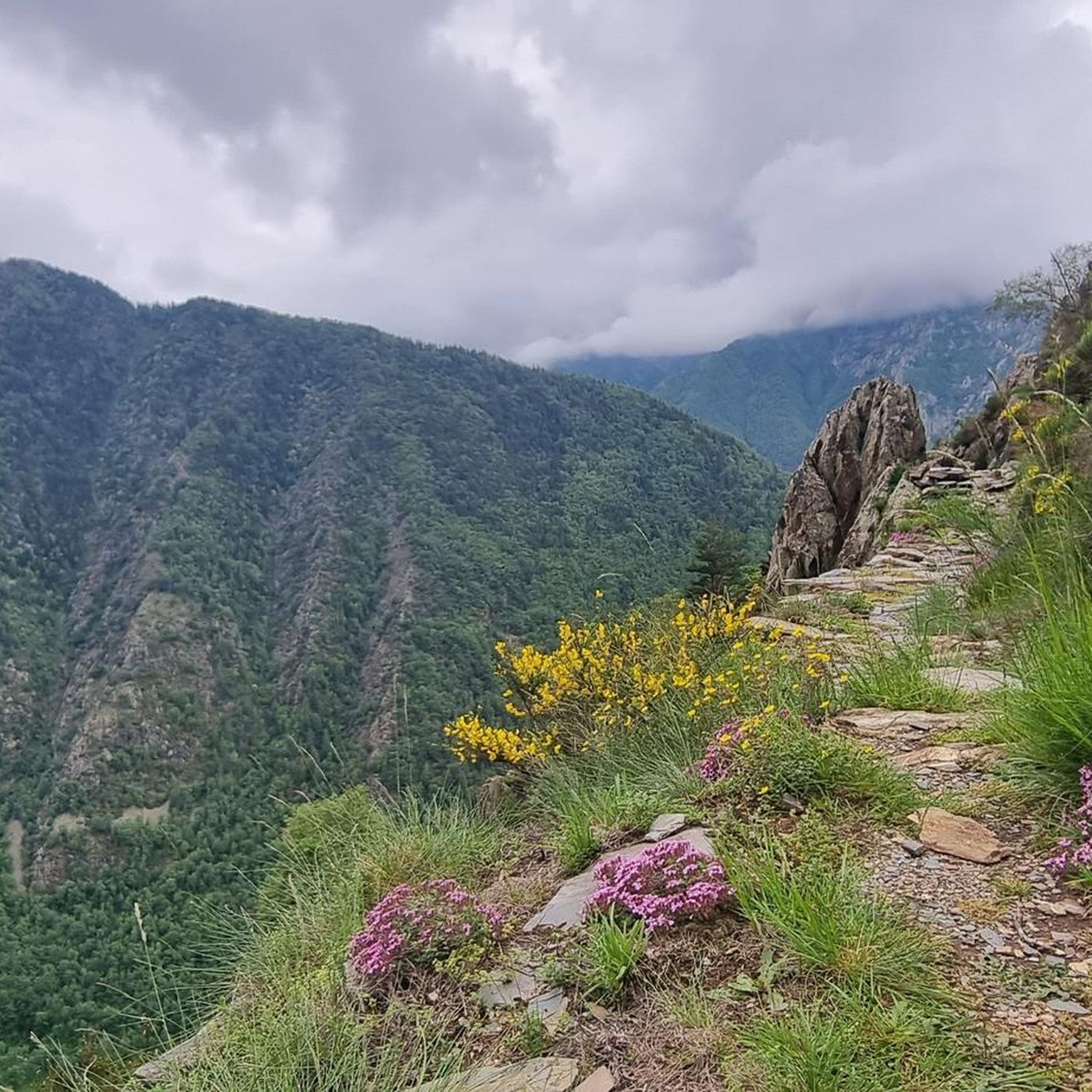
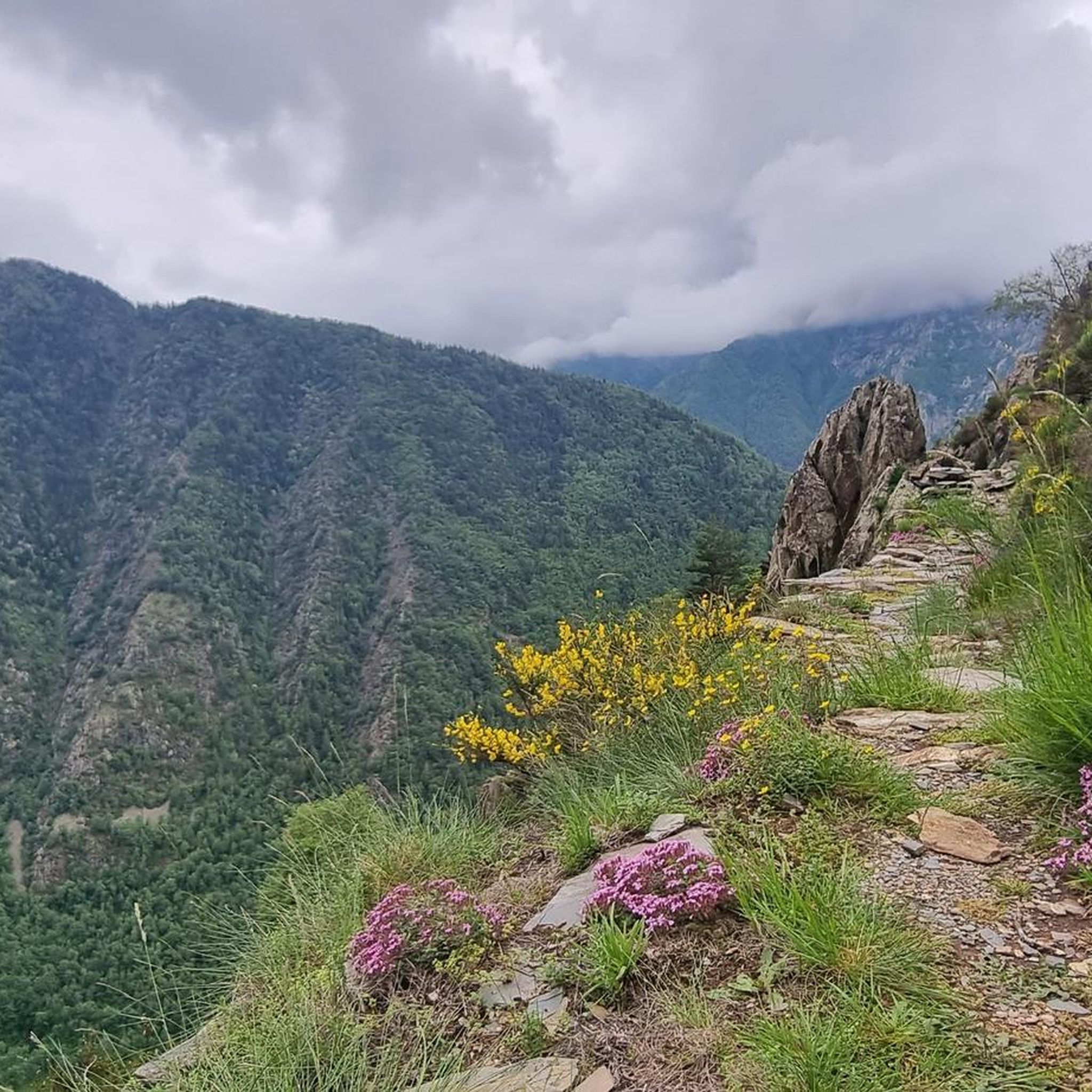
Hiking around Goulier offers access to the diverse landscapes of the Parc naturel des Pyrénées Ariégeoises, situated in the upper Vicdessos valley. The region is characterized by majestic Pyrenean peaks, including Pique d'Estats and Pic du Montcalm, which provide a dramatic backdrop for trails. Hikers will encounter varied terrain, from dense pine forests and rocky sections to distinctive karst formations shaped by erosion. This unspoiled natural setting provides extensive panoramic views from many viewpoints, such as the Pique d'Endron.
Best…
Last updated: June 25, 2026
3.0
(1)
40
hikers
Hard hike. Very good fitness required. Sure-footedness, sturdy shoes and alpine experience required.
4.6
(31)
89
hikers
5.24km
01:38
190m
190m
Easy hike. Great for any fitness level. Easily-accessible paths. Suitable for all skill levels.

Sign up for free
5.0
(3)
71
hikers
10.4km
05:15
980m
980m
Hard hike. Very good fitness required. Sure-footedness, sturdy shoes and alpine experience required.
4.8
(6)
53
hikers
7.99km
02:37
330m
330m
Moderate hike. Good fitness required. Easily-accessible paths. Suitable for all skill levels.
4.5
(2)
24
hikers
21.3km
08:49
1,200m
1,200m
Hard hike. Very good fitness required. Mostly accessible paths. Sure-footedness required.
Get access to more routes and recommendations from other explorers.
Sign up for free
Already have an account?
Our route recommendations are based on thousands of hikes, rides, and runs completed by other people on komoot.
Start today with a free account
Your next adventure awaits.
Login or Signup
Tips from the Community

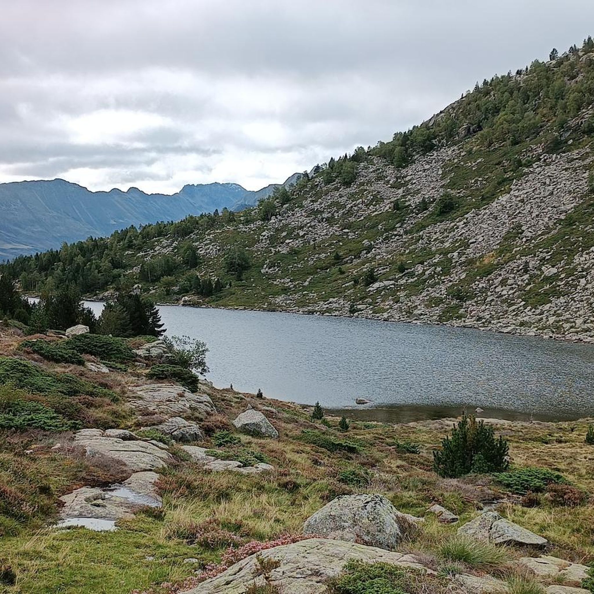
Very welcoming and friendly staff, with a fantastic view of the Bassiès ponds.
1
0

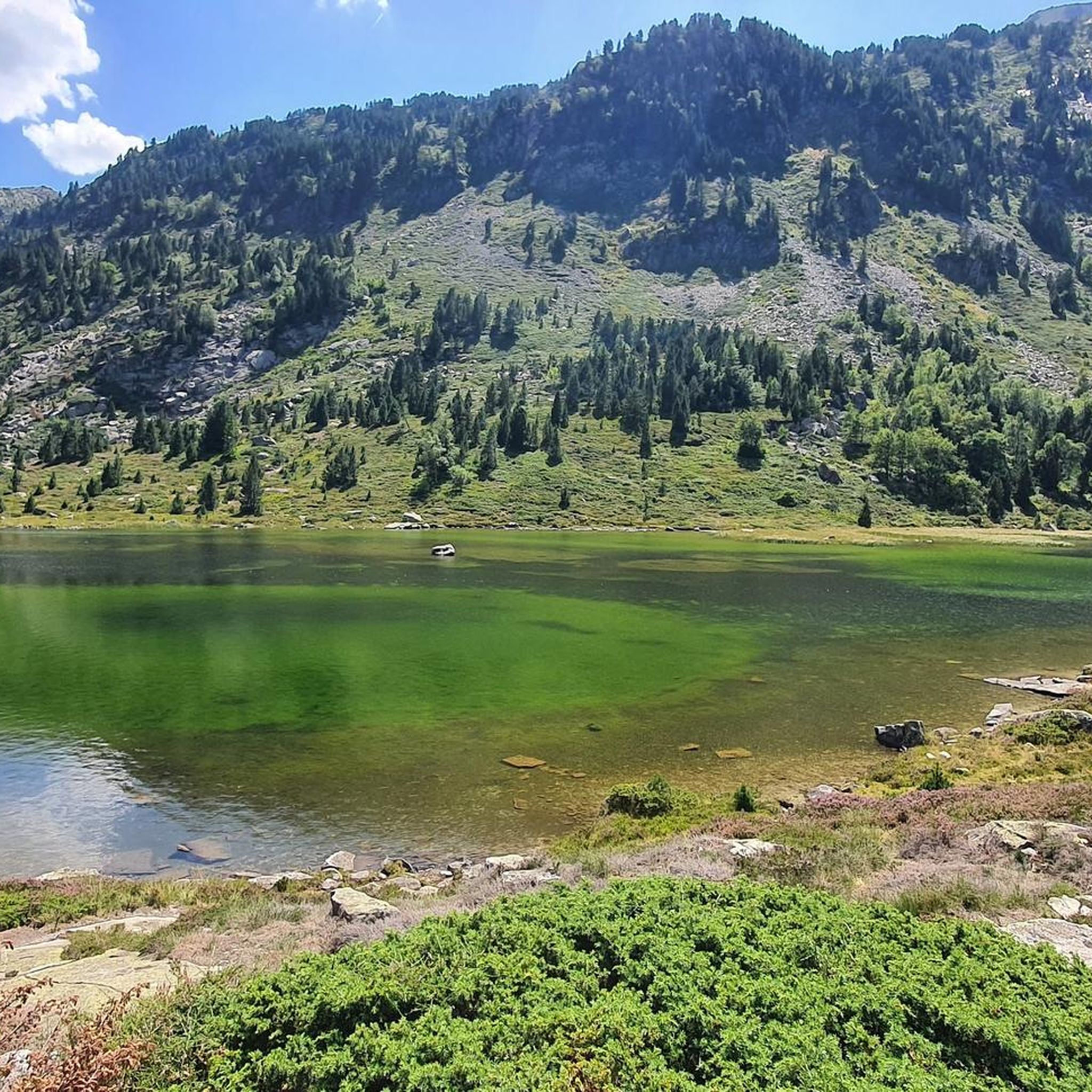
One of the most beautiful places in Ariège. Whether you come in winter on snowshoes or in summer, the ponds are always as beautiful and impressive!
1
0

an approach that is not easy but well rewarded
1
0

This refuge is located in the middle of the Bassiès cirque, at an altitude of 1,650 meters. The refuge has dormitories and rooms with single beds. It is also possible to bivouac on the lawns surrounding the refuge. You can even rent tents and mattresses. The refuge also offers a catering service available for all three meals.
1
0

The Pique d'Endron is a peak relatively accessible from the Goulier Neige station and which offers a magnificent view.
2
0
The port of Saleix, which is the pass separating the valleys of Couserans and Vicdessos, offers magnificent views of these valleys.
1
0
The port of Saleix, which is the pass separating the Couserans and Vicdessos valleys, offers magnificent views of these valleys.
2
0
At the foot of Mount Garias, the Alate pond is located more or less 1h30 from the Coumebière plateau and is a nice goal for a hike.
1
0
Frequently Asked Questions
How many hiking trails are available around Goulier?
Goulier offers an extensive network of over 100 hiking routes. These trails cater to various skill levels, with 14 easy, 48 moderate, and 51 difficult options, ensuring there's something for every hiker.
Are there any easy, family-friendly hikes in the Goulier area?
Yes, Goulier has several accessible options suitable for families. For a less strenuous walk, consider the Montréal de Sos – Campovolo Cave loop from Auzat, an easy 3.6-mile path that takes less than two hours to complete. The Goulier Neige ski resort area also provides easier routes in warmer months, known for its family-friendly atmosphere.
What are the best times of year to hike in Goulier?
Goulier offers distinct experiences throughout the year. Spring and autumn provide pleasant temperatures and vibrant scenery, ideal for exploring the diverse terrain. In winter, the landscape transforms into a magical wonderland with snow-covered fir trees, perfect for snowshoeing and observing animal tracks. Summer is excellent for higher-altitude treks and enjoying panoramic views.
Are dogs allowed on the hiking trails in Goulier?
Regulations regarding dogs on trails can vary within the Parc naturel des Pyrénées Ariégeoises. While many trails are generally dog-friendly, it's always best to keep dogs on a leash, especially in areas with livestock or protected wildlife. Always check specific trail signage or local information for any restrictions.
Where can I find parking for hiking trails in Goulier?
Many popular trailheads, such as the starting point for the Pique d'Endron – hike starting from the dadels car park, offer designated parking areas. It's advisable to check the route details on komoot for specific parking information related to your chosen trail.
Are there any circular hiking routes around Goulier?
Yes, Goulier features several circular routes. An example is the Pique d'Endron – Garbié Peak loop from Goulier, a challenging 6.4-mile trail offering stunning mountain views. For a moderate option, consider the Rancié Mine – Village de Sem loop from Val-de-Sos, which is about 5 miles long and takes you through historical mining areas.
What kind of views can I expect on hikes in Goulier?
Hikes in Goulier often reward trekkers with breathtaking panoramic views. The region is dominated by majestic Pyrenean peaks like Pique d'Estats and Pic du Montcalm. From viewpoints such as the Pique d'Endron, you can enjoy 360° panoramas of the surrounding great peaks, including the Montcalm massif and the Bassiès massif with its terraced lakes, as well as the Étangs d'Izourt and Gnioure lakes below.
Are there any historical or cultural points of interest along the trails?
Yes, the region has a rich history. For instance, the 'mining trail' in the Sem valley, part of the Rancié Mine – Village de Sem loop from Val-de-Sos, allows hikers to follow in the footsteps of former Rancié miners, offering insights into the past amidst beech forests and stunning views of the Os Valley.
What do other hikers say about the trails in Goulier?
The routes in Goulier are highly rated by the komoot community, with an average score of 4.6 stars from over 700 reviews. More than 9,000 hikers have used komoot to explore Goulier's varied terrain, often praising the dramatic Pyrenean scenery, diverse landscapes, and the sense of immersion in an unspoiled natural setting.
Are there any lakes or gorges to explore near Goulier?
Absolutely. The Goulier area is rich in natural attractions. You can explore stunning gorges such as the Cirque de Garbettou or the Gardelle Valley. For serene waters, discover the beautiful lakes, including Izourt Pond and Étang d'Arbu.
What kind of terrain can I expect on Goulier's hiking trails?
Goulier boasts a varied topography, encompassing dense pine forests, rocky sections, and distinctive karst terrain shaped by erosion. This provides a range of visual experiences and different hiking conditions, from challenging high-altitude treks to more accessible forest walks.
Are there any challenging hikes for experienced trekkers?
Yes, Goulier offers significant challenges for experienced hikers. Trails like the one to the Crêtes de Bège are known for substantial elevation gain and rocky sections, requiring good physical condition. The Pique d'Endron – hike starting from the dadels car park is a difficult 5.4-mile route with over 900 meters of elevation gain, offering expansive views for those up to the task.
Most popular attractions around Goulier

Get inspired with the komoot mobile app


Explore more
Browse the best Hikes in other regions.
