The best running trails around Raperswilen
4.4
(530)
12,407
runners
341
runs
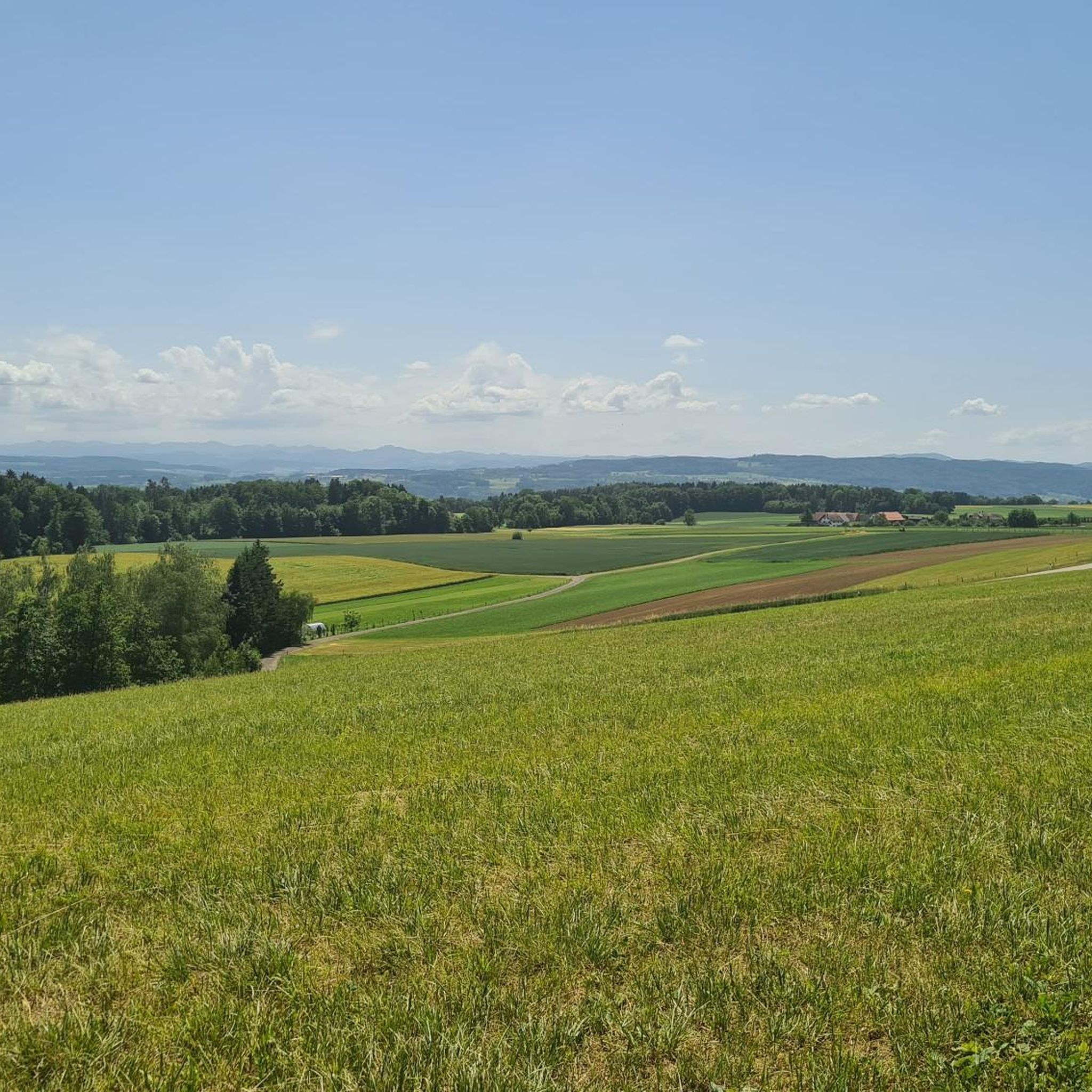
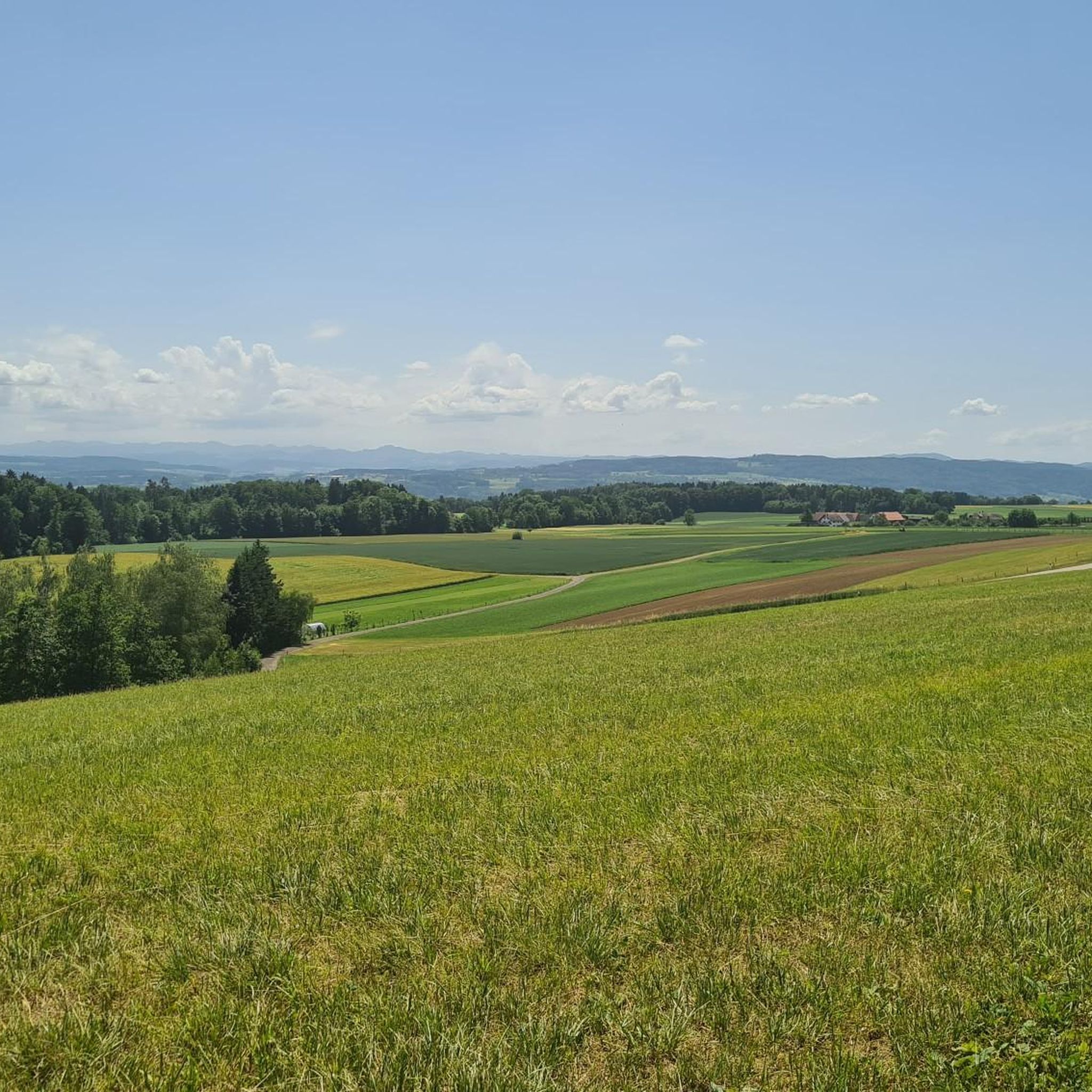
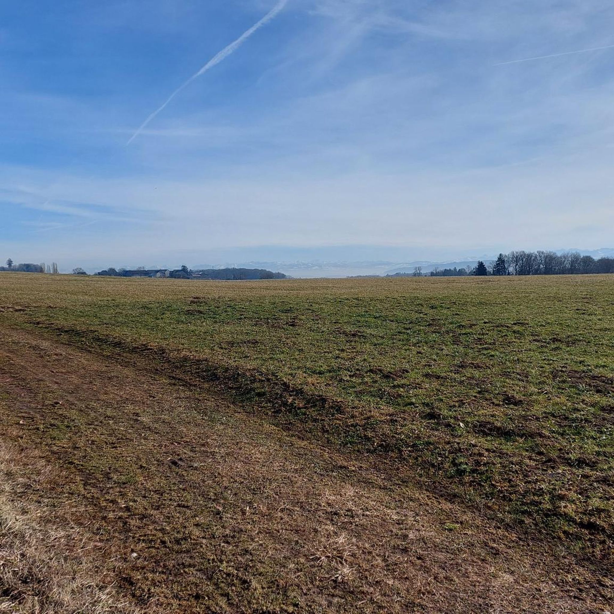
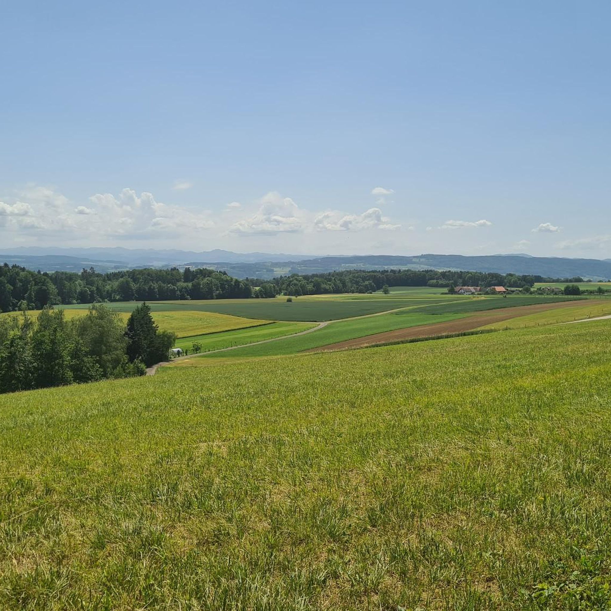
Jogging routes around Raperswilen traverse a diverse landscape within the Seerücken hills of Thurgau, Switzerland. The municipality features extensive agricultural land and significant forested areas, providing a mix of open fields and shaded woodlands. This varied terrain includes undulating sections, offering both scenic backdrops and opportunities for strength and endurance training. The region's natural setting provides a tranquil environment for outdoor activities.
Best jogging routes around Raperswilen
- The most popular jogging route is Old bunker – Seerhein Lido, Tägerwilen loop…
Last updated: July 1, 2026
5.0
(3)
92
runners
9.95km
01:01
20m
20m
Moderate run. Good fitness required. Mostly paved surfaces. Suitable for all skill levels.
52
runners
11.0km
01:09
70m
70m
Moderate run. Good fitness required. Mostly paved surfaces. Suitable for all skill levels.

Sign up for free
4.7
(3)
28
runners
Moderate run. Good fitness required. Mostly paved surfaces. Suitable for all skill levels.
5.0
(1)
33
runners
8.45km
00:52
20m
20m
Moderate run. Good fitness required. Mostly paved surfaces. Suitable for all skill levels.
2.0
(1)
37
runners
Moderate run. Good fitness required. Mostly paved surfaces. Suitable for all skill levels.
Get access to more routes and recommendations from other explorers.
Sign up for free
Already have an account?
Our route recommendations are based on thousands of hikes, rides, and runs completed by other people on komoot.
Start today with a free account
Your next adventure awaits.
Login or Signup
Tips from the Community

You can always use it
0
0

Morning or evening is best. There can be a lot of people during the day.
0
0

great view of the lake
0
0

Two castles called "Salenstein" originally stood nearby: the Ober-Salenstein Castle described here, and, on a spur of the same rocky ridge further down, the Nieder-Salenstein Castle, which was destroyed in 1599 (indicated in David Herrliberger's engraving as a wall tooth behind a tree) and is now completely ruined on the surface (near a farmhouse in the Hinderburg area). In roughly the same line, on the other side of the ravine, is the Mannenbach Chapel, which still exists today and is also depicted in Herrliberger's drawing. It is said to have been founded by the Lords of Salenstein in 1155, and contains medieval frescoes.
3
0


Super nice houses on a great route
0
0

A statue like this would be great for my garden. Can't be overlooked. 🥰
2
1
Frequently Asked Questions
How many running routes are available around Raperswilen?
Raperswilen offers a wide selection of running routes, with over 340 trails documented on komoot. These routes cater to various fitness levels, ranging from easy strolls to challenging long-distance runs through the diverse landscape of the Seerücken hills.
What types of terrain can I expect on jogging trails in Raperswilen?
Jogging routes in Raperswilen feature a diverse mix of terrain. You'll find paths winding through extensive agricultural fields, shaded woodlands, and undulating sections characteristic of the Seerücken hills. This variety provides both scenic backdrops and opportunities for strength and endurance training.
Are there any easy running routes suitable for beginners in Raperswilen?
Yes, Raperswilen has options for beginners. While many routes are moderate, there are 23 easy trails available. These routes typically feature less elevation gain and shorter distances, perfect for those new to running or looking for a relaxed jog.
Can I find challenging long-distance running trails in the Raperswilen area?
Absolutely. For experienced runners seeking a challenge, Raperswilen offers 56 difficult routes. An example is the Eschikofen Railway Bridge – Thur Weir loop from Müllheim Dorf, which covers over 15 kilometers and includes varied terrain, providing a significant workout.
Are there any circular running routes around Raperswilen?
Many of the running routes in Raperswilen are designed as loops, allowing you to start and finish at the same point. For instance, the popular View of Lake Constance – View of Lake Constance loop from Berlingen offers scenic vistas and brings you back to your starting location.
What scenic viewpoints or natural attractions can I discover while running in Raperswilen?
The region around Raperswilen is rich in natural beauty. You can encounter stunning vistas like the View of Lake Untersee or the View of Lake Constance and Berlingen. For a unique natural feature, consider routes that pass near the Upper Rütibach Waterfall.
Are there historical landmarks or points of interest along the jogging routes?
Yes, Raperswilen's history is subtly woven into its landscape. While jogging, you might pass near sites of historical significance, such as the location of the former Müllberg Castle or prehistoric fortifications like Risi and Schanz. For a more prominent historical site, Reichenau Island (UNESCO World Heritage Site) is also accessible from the wider region.
What do other runners enjoy most about jogging in Raperswilen?
The running trails around Raperswilen are highly regarded by the komoot community, boasting an average rating of 4.4 stars from over 460 reviews. Runners frequently praise the tranquil natural environment, the diverse mix of open fields and shaded woodlands, and the well-maintained network of paths that cater to various abilities.
Are the running routes in Raperswilen accessible by public transport?
While Raperswilen itself is a smaller municipality, the broader region of Thurgau, Switzerland, is generally well-connected by public transport. Many routes start near villages or towns that have bus or train connections, making it possible to access trails without a car. It's advisable to check local transport schedules for specific starting points.
Can I bring my dog on the jogging routes in Raperswilen?
Many trails in Raperswilen's natural environment are suitable for running with dogs, especially those traversing agricultural and forested areas. However, it's always recommended to keep your dog on a leash, particularly when passing through farmland or near wildlife, and to respect local regulations regarding pets on trails.
Are there family-friendly jogging options in Raperswilen?
Yes, the region offers several easier and moderate routes that are suitable for families. These trails often feature gentler inclines and shorter distances, allowing for an enjoyable outing with children. Look for routes that pass through parks or open fields for a more relaxed family experience.
What is the best time of year to go jogging in Raperswilen?
Raperswilen offers enjoyable jogging experiences throughout the year. Spring and autumn provide pleasant temperatures and vibrant scenery. Summer mornings and evenings are ideal to avoid the heat, while winter running can be beautiful, especially after fresh snowfall, though some paths might require appropriate footwear.
Most popular routes around Raperswilen
Most popular attractions around Raperswilen

Get inspired with the komoot mobile app


Explore more
Browse the best Running Trails & Routes in other regions.
