The best walks and hikes around Clavières
4.5
(114)
504
hikers
59
hikes
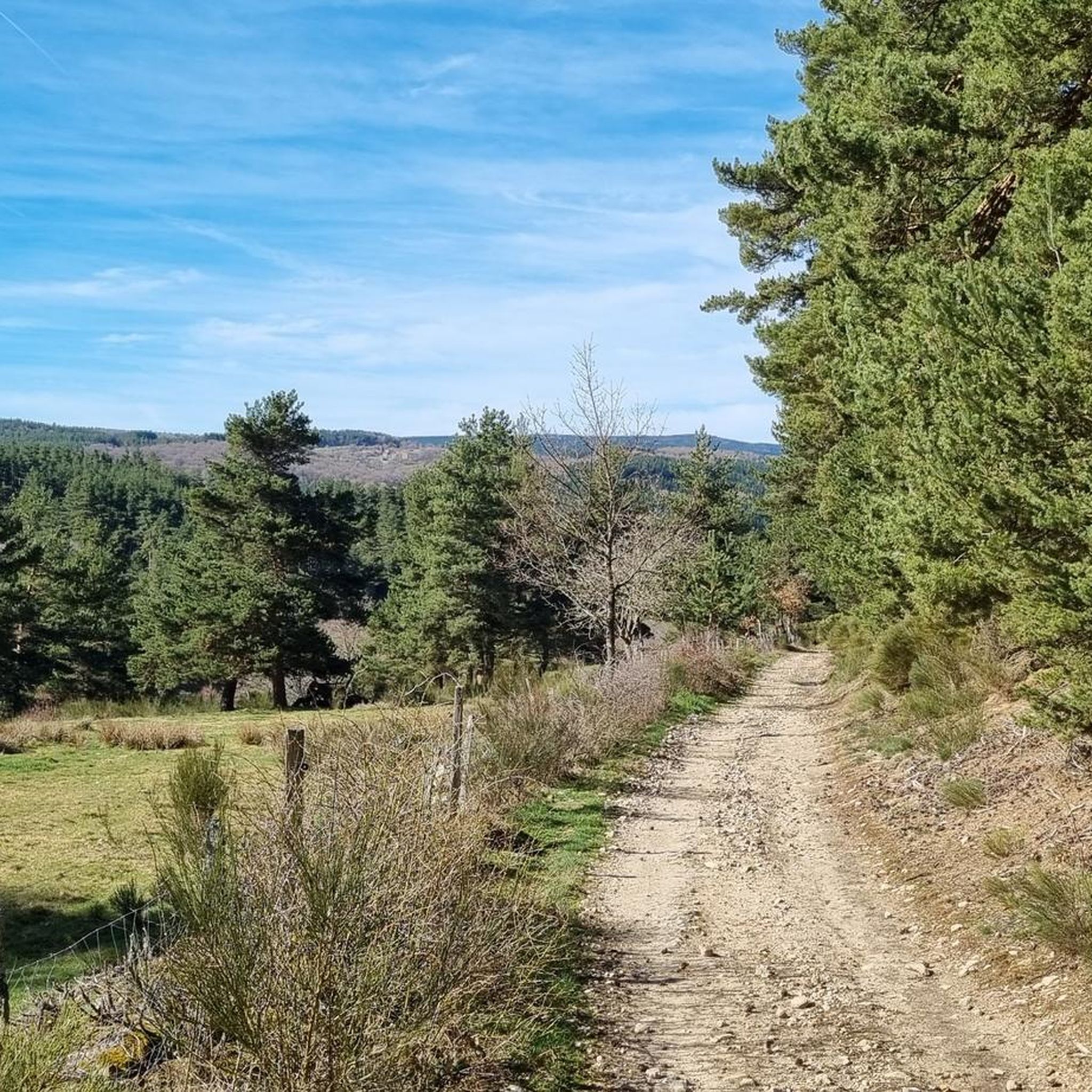
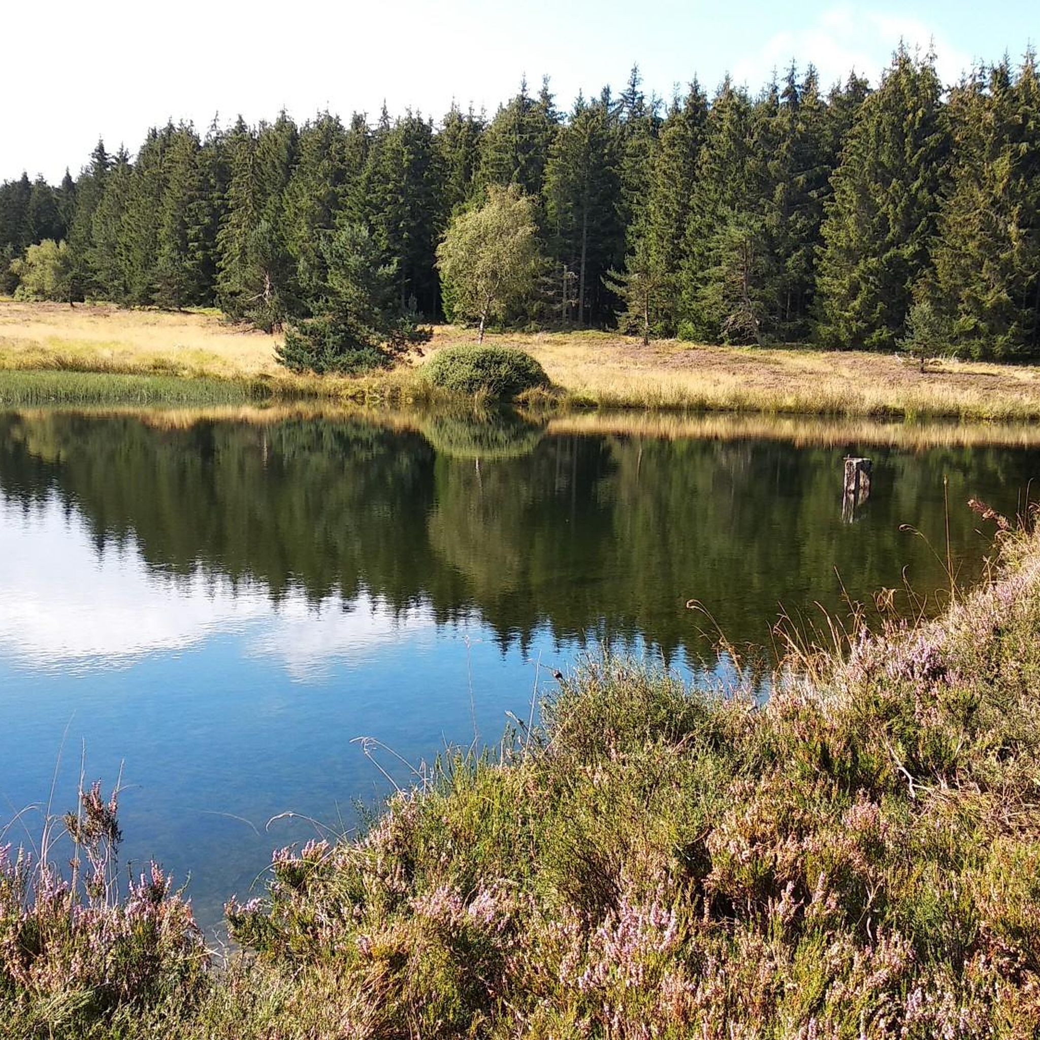
Hiking around Clavières offers diverse terrain, from picturesque valleys to high-altitude mountain scenery. The region is characterized by mountain streams like the Rio Secco and Piccola Dora, winding through valley floors. Hikers can find Clavières hiking routes ranging from leisurely strolls to challenging treks, often featuring exposed rock and historical fortifications. This variety in Clavières hiking difficulty, elevation, and terrain caters to different preferences.
Best hiking trails around Clavières
- The most popular hiking route is Laval Pond – Saint-Martin Church…
Last updated: June 29, 2026
4.4
(5)
15
hikers
11.3km
03:09
210m
210m
Moderate hike. Good fitness required. Easily-accessible paths. Suitable for all skill levels.
4.8
(6)
23
hikers
14.7km
04:19
410m
410m
Moderate hike. Good fitness required. Easily-accessible paths. Suitable for all skill levels.

Sign up for free
4.0
(1)
15
hikers
8.64km
02:27
190m
190m
Moderate hike. Good fitness required. Easily-accessible paths. Suitable for all skill levels.
5.0
(1)
9
hikers
12.4km
03:35
320m
320m
Moderate hike. Good fitness required. Easily-accessible paths. Suitable for all skill levels.
5.0
(1)
4
hikers
6.60km
02:05
280m
280m
Moderate hike. Good fitness required. Easily-accessible paths. Suitable for all skill levels.
Get access to more routes and recommendations from other explorers.
Sign up for free
Already have an account?
Our route recommendations are based on thousands of hikes, rides, and runs completed by other people on komoot.
Start today with a free account
Your next adventure awaits.
Login or Signup
Tips from the Community

Historical wealth - Magnificent landscapes - Slightly difficult hike, good physical condition required.
0
0

Mont Mouchet is a peak that is part of the Margeride massif. There, you'll find very rocky areas and other more wooded areas, composed of beech and fir forests. As a result, the landscapes are fabulous. Mont Mouchet is also a site classified as a High Place of the Resistance in Auvergne. From here, you can enjoy a superb 360° panorama.
0
0
The Mont Mouchet Museum and Memorial pay tribute to Lucien and Pierrot, who, in 1944, joined one of France's five maquis. They committed to preventing the German army stationed to the south from advancing toward Normandy. Through a tour of authentic objects, documents, photos, and videos, you will discover the historical events that brought Mont Mouchet to life.
0
0
Very nice hike, I recommend starting in the opposite direction in order to finish by going down the scree rather than going up... otherwise the hike is mainly on shaded paths...
0
0

Mont Mouchet, like many other isolated and wild places in France (whether for example the Vercors plateau or the Albion plateau) served as a maquis for resistance fighters during the Second World War. It culminates at 1,497 meters in the Margeride massif. It offers very beautiful views of the unspoiled landscape that surrounds it. It borders three very sparsely populated departments of France: Haute-Loire, Cantal and Lozère.
0
0

Mont Mouchet, at 1,497 meters in the heart of Margeride, is a high place of the Resistance during the 2nd World War. It was notably the scene in June 1944 of the Battle of Mont Mouchet. A memorial and a museum pay homage to the Resistance fighters of this maquis.
0
0
Mont Mouchet, at 1,497 meters in the heart of Margeride, is a high place of the Resistance during the 2nd World War. It was notably the scene in June 1944 of the Battle of Mont Mouchet. Nowadays, a memorial and a museum pay homage to the Resistance fighters of this maquis.
1
0
Frequently Asked Questions
What is the general difficulty level of hiking trails in Clavières?
Clavières offers a diverse range of hiking trails suitable for various fitness levels. You'll find everything from leisurely strolls along valley floors to more demanding high-altitude treks. The region has 19 easy routes, 33 moderate routes, and 6 difficult routes, ensuring options for everyone from beginners to experienced hikers.
Are there easy hiking options for beginners or families in Clavières?
Yes, Clavières provides several easy hiking options perfect for beginners or families. There are 19 easy routes available, many of which wind along mountain streams like the Rio Secco and Piccola Dora, offering gentle paths to observe local flora and fauna. These trails are designed for relaxing walks suitable for all skill levels.
What natural features or landmarks can I expect to see while hiking in Clavières?
Hiking in Clavières offers a wealth of natural features and landmarks. You can explore picturesque valleys, mountain streams, and high-altitude scenery. Notable attractions include the unique San Gervasio Gorges with their 'suspended' paths and the world's longest suspension bridge, the Cesana Claviere Tibetan Bridge. You might also encounter the iridescent Lake of the 7 Colours (Lake Gignoux), known for its shifting hues.
Are there any historical sites or unique geological formations to explore?
Absolutely. Clavières is rich in both history and unique geology. You can find remnants of human and military settlements, especially in the high-altitude areas. Mount Chaberton, for instance, is crowned by the ruins of an Italian fortification, offering both historical interest and challenging ascents. The San Gervasio Gorges also showcase varied Alpine geology through their 'suspended' paths and via ferrata routes.
What is the best time of year to go hiking in Clavières?
The brief Alpine summer is generally the best time for hiking in Clavières. During this period, the high-altitude mountain scenery transforms into a vibrant display of flowers, offering stunning views and pleasant conditions for exploring the trails. While some lower-altitude paths might be accessible earlier or later, summer provides the most optimal experience for the full range of routes.
Are there family-friendly hiking trails in Clavières?
Yes, Clavières has many trails suitable for families. The region offers a variety of paths, including relaxing walks along mountain streams and valley floors, which are perfect for all skill levels. These easier routes allow families to enjoy the natural environment together without requiring advanced hiking experience.
Can I bring my dog on the hiking trails in Clavières?
While many trails in Clavières are generally dog-friendly, it's always recommended to check specific route regulations or local signage, especially in protected areas or near sensitive wildlife habitats. For example, the Mont Mouchet – Auzenc fountain loop from Amourettes is a moderate trail that winds through forested areas, which can be enjoyable for dogs on a leash.
Are there many circular hiking routes available in Clavières?
Yes, circular routes are a popular option in Clavières, allowing you to start and end your hike at the same point. An example is the Mont Mouchet – Summit of Mont Mouchet loop from Mont Mouchet, a moderate 7.6 km trail leading to panoramic views. Many other trails are designed as loops, providing convenient exploration of the diverse landscapes.
What are some challenging hikes in Clavières?
For experienced trekkers seeking a challenge, Clavières offers several difficult routes. One such option is the Laval Pond – Saint-Martin Church loop from Chaliers, an 19.0 km trail that takes approximately 5 hours 20 minutes to complete and traverses varied, demanding landscapes. Mount Chaberton also presents challenging ascents and via ferrata routes.
What do other hikers enjoy the most about hiking in Clavières?
The hiking experiences in Clavières are highly rated by the komoot community, with an average score of 4.4 stars from over 85 reviews. Hikers often praise the diverse terrain, from picturesque valleys to high-altitude mountain scenery, and the variety of paths catering to different skill levels. The region's natural beauty and well-maintained routes are frequently highlighted.
Is parking available near the trailheads in Clavières?
While specific parking information for every trailhead isn't always available, Clavières is generally well-equipped for visitors. Many popular starting points for treks, such as those leading to Lake Gignoux from Capanna Mautino, Baita Gimont, or the Gran Pace refuge at Colle Bercia, typically have designated parking areas or roadside spots available for hikers.
How accessible are Clavières hiking trails by public transport?
Clavières is a well-known destination, and while some trailheads might be directly accessible by local bus services, many routes, especially those in more remote high-altitude areas, may require private transport. It's advisable to check local public transport schedules and routes in advance if you plan to rely on it for reaching specific starting points.
Are there places to eat or stay near the hiking trails in Clavières?
Yes, you'll find options for refreshments and accommodation. For instance, starting points for the Lake Gignoux trek like Capanna Mautino, Baita Gimont, or the Gran Pace refuge at Colle Bercia often provide facilities for hikers, including places to eat or stay. The town of Clavières itself also offers various amenities for visitors.
Most popular attractions around Clavières

Get inspired with the komoot mobile app


Explore more
Browse the best Hikes in other regions.
