The best running trails around Lütisburg
4.3
(275)
5,729
runners
492
runs
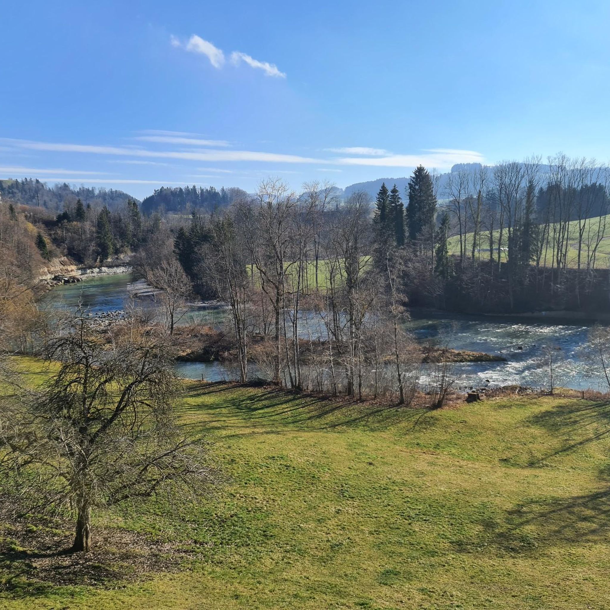
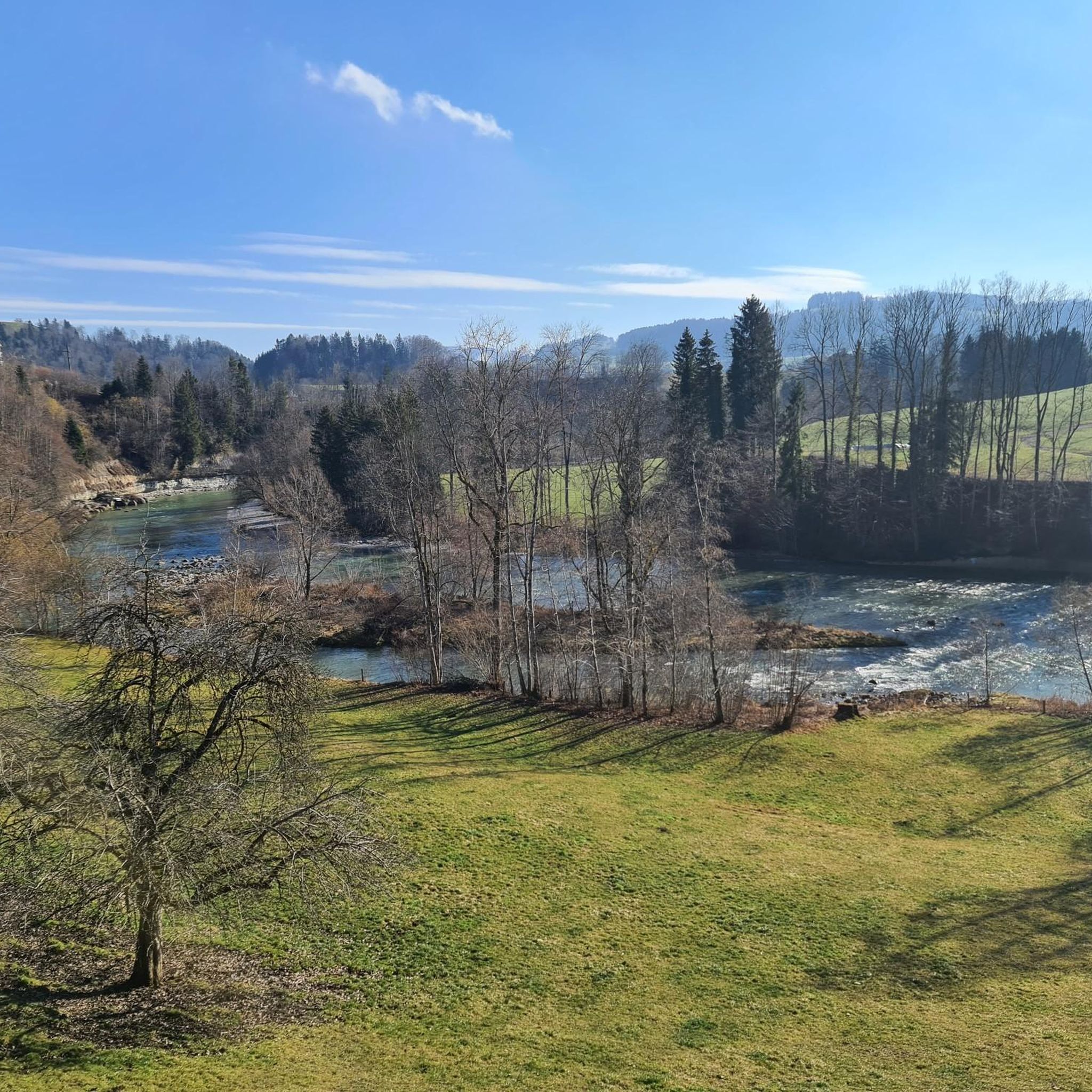
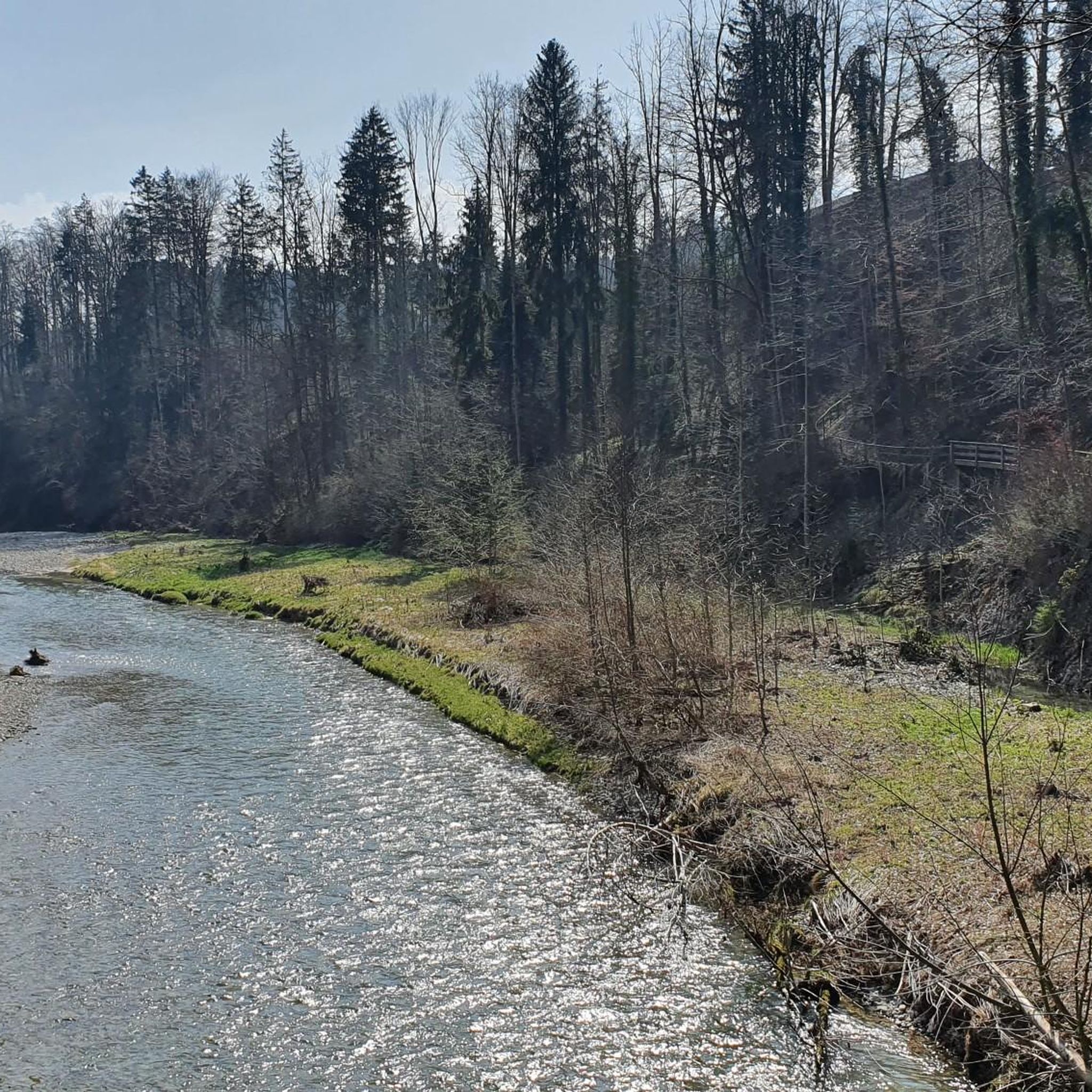
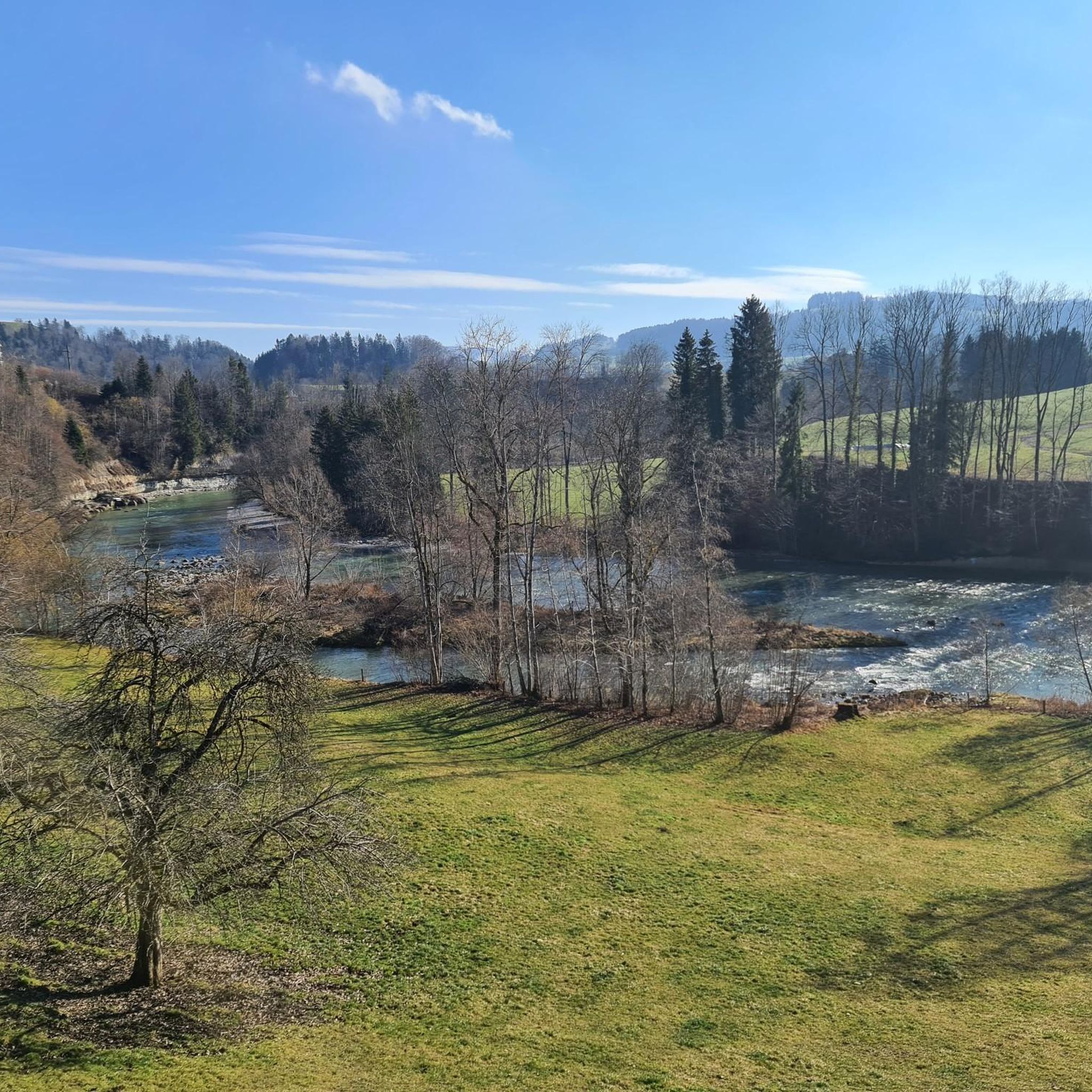
Jogging routes around Lütisburg offer a diverse natural landscape, characterized by the wild romantic banks of the Thur and Necker rivers. The region features quiet forests, blooming flower meadows, and varied terrain within the broader Toggenburg landscapes. This environment provides a mix of flat river paths and more undulating routes through natural areas, suitable for different running preferences.
Best jogging routes around Lütisburg
- The most popular jogging route is Thur Wooden Bridge – Church in St. Gallen loop from Lütisburg…
Last updated: June 27, 2026
5.0
(1)
20
runners
8.12km
00:51
100m
100m
Moderate run. Good fitness required. Mostly paved surfaces. Suitable for all skill levels.
15
runners
5.84km
00:37
60m
60m
Moderate run. Good fitness required. Mostly paved surfaces. Suitable for all skill levels.

Sign up for free
12
runners
7.77km
00:52
200m
190m
Moderate run. Good fitness required. Mostly paved surfaces. Suitable for all skill levels.
8
runners
7.68km
00:51
180m
180m
Moderate run. Good fitness required. Mostly paved surfaces. Suitable for all skill levels.
4.0
(1)
8
runners
12.6km
01:24
190m
190m
Moderate run. Good fitness required. Mostly paved surfaces. Suitable for all skill levels.
Get access to more routes and recommendations from other explorers.
Sign up for free
Already have an account?
Our route recommendations are based on thousands of hikes, rides, and runs completed by other people on komoot.
Start today with a free account
Your next adventure awaits.
Login or Signup


Other adventures around Lütisburg

Tips from the Community

Passing west of the beautiful Bettenauer Weiher (driving is prohibited all around).
1
0

The Bettenauer Weiher lies in a depression between Wildberg and Uzwil, entirely within the municipality of Oberuzwil, in the Toggenburg region in the Swiss Alpine foothills. The pond's bottom consists of peat soil. The pond includes the smaller peat ponds to the east. The Bettenauer Weiher was originally a moor pond, the origin of which can ultimately be traced back to the formation of a depression between the Wildberg and Vogelsberg mountains during the Würm glaciation, when the entire Toggenburg region was covered by the Rhine glacier. The area around the Bettenauer Weiher is a fen of regional importance. It is part of an amphibian spawning area of national importance. For this reason, the pond has had an amphibian guide structure, a protected road underpass, since 1993. [Source: Wikipedia]
0
0


It is worth looking at the old baroque church
0
0

The Bettenauer pond is located in the municipality of Oberuzwil in the canton of St. Gallen. Located outside the village center in the direction of Jonschwil, the pond is a popular local recreation area. The "Betti", as the pond is called by the locals, lies at an altitude of 586 meters above sea level. The moor pond has a length of almost 500m and a width of 100m, while it is a maximum of two meters deep.
4
1
Frequently Asked Questions
How many running routes are available in Lütisburg?
Lütisburg offers a selection of 10 diverse running routes. These trails cater to various preferences, ranging from moderate paths to more challenging runs through the region's varied terrain.
What kind of landscapes can I expect while jogging in Lütisburg?
Jogging in Lütisburg provides a rich variety of natural landscapes. You'll encounter wild romantic banks along the Thur and Necker rivers, quiet forests, blooming flower meadows, and undulating terrain within the broader Toggenburg region. The area is known for its idyllic natural and river scenery.
Are there any challenging running trails in Lütisburg?
Yes, Lütisburg features some challenging routes. For instance, the Wildberg – Thur weir loop from Lütisburg is classified as difficult, covering 14.7 km with significant elevation changes, making it suitable for experienced runners looking for a demanding workout.
Can I find circular running routes in Lütisburg?
Absolutely. Many of the running paths in Lütisburg are circular, allowing you to start and finish at the same point. A popular option is the Thur Wooden Bridge – Church in St. Gallen loop from Lütisburg, which is 13.4 km long and follows picturesque river scenery.
What do other runners enjoy most about jogging in Lütisburg?
The running routes in Lütisburg are highly rated by the komoot community, with an average score of 4.3 stars from over 250 reviews. Runners often praise the diverse natural landscape, the serene river banks, and the well-maintained network of trails that offer options for different ability levels.
Are there any family-friendly jogging routes or themed trails in the area?
While specific jogging routes are not explicitly marked as 'family-friendly' in the data, the region's extensive trail network includes themed routes like the Windrädliweg and Comicweg, which are popular with families and can be enjoyed at a leisurely pace. The diverse terrain also offers easier sections suitable for a family outing.
What kind of attractions or landmarks can I see along the running routes?
Lütisburg's surroundings offer several interesting attractions. You might encounter natural features like the Thur Suspension Bridge near Thurau or explore the scenic Wissbach Gorge Trail. For history enthusiasts, there are also various castle ruins in the wider area, such as Helfenberg Castle Ruins.
Are there any long-distance paths that pass through Lütisburg suitable for running?
Yes, Lütisburg is situated along significant long-distance paths. Joggers can explore sections of the Thurweg, which traces the Thur River, or the Neckerweg, following the Necker River. These paths offer extended running opportunities through the region's beautiful natural environment.
Are there any moderate running routes for a good workout?
Lütisburg has several excellent moderate running routes. The Baroque church in Bütschwil loop from Lütisburg is a popular 12.6 km path with varied elevation, providing a good workout while exploring the local area. Another option is the Thur Wooden Bridge – Thur weir loop from Lütisburg, a 10.2 km route.
What is the best time of year to go jogging in Lütisburg?
Lütisburg is appealing for jogging throughout much of the year. Spring and summer offer blooming flower meadows and lush forests, while the wild romantic river banks provide serene routes. The diverse terrain and extensive trail network mean you can find suitable conditions across different seasons, though specific seasonal considerations like snow in winter might affect higher elevation trails.
Are there options for shorter, quicker runs in Lütisburg?
Yes, if you're looking for a shorter run, the Running loop from Lütisburg is a great choice. This 7.4 km trail leads through local landscapes and can typically be completed in under an hour, perfect for a quick and refreshing jog.
Most popular routes around Lütisburg
Most popular attractions around Lütisburg

Get inspired with the komoot mobile app


Explore more
Browse the best Running Trails & Routes in other regions.
