The best mountain hikes around Alt St Johann und Unterwasser
4.8
(59)
621
hikers
12
hikes
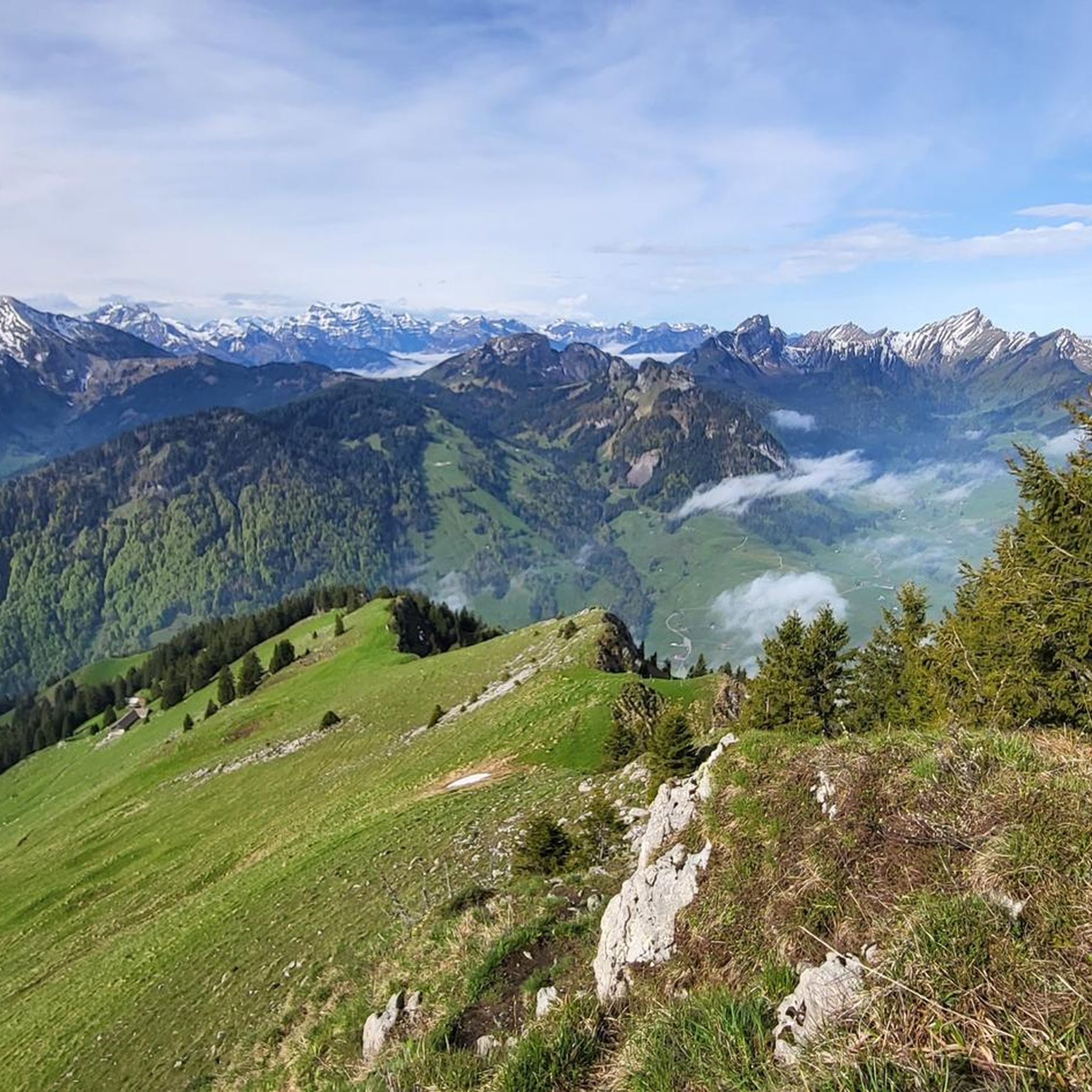
Mountaineering routes around Alt St Johann und Unterwasser traverse the diverse alpine landscape of the Toggenburg region in Switzerland. This area is characterized by the prominent peaks of the Churfirsten range, offering challenging ascents and panoramic views. The terrain includes steep rocky sections, high alpine pastures, and forested valleys, providing varied conditions for mountaineers. Elevations in the region contribute to significant vertical gain on many routes.
Best mountaineering routes around Alt St Johann und Unterwasser
- The most popular mountaineering route…
Last updated: July 6, 2026
5.0
(1)
20
hikers
16.4km
07:10
1,190m
1,190m
Hard mountaineering route. Very good fitness required. Sure-footedness, sturdy shoes and alpine experience required.
23
hikers
9.07km
04:04
630m
630m
Moderate mountaineering route. Good fitness required. Mostly accessible paths. Sure-footedness required.

Sign up for free
4.3
(3)
14
hikers
17.4km
08:20
1,430m
1,430m
Hard mountaineering route. Very good fitness required. Sure-footedness, sturdy shoes and alpine experience required.
4.5
(2)
17
hikers
14.5km
07:07
1,220m
1,220m
Hard mountaineering route. Very good fitness required. Sure-footedness, sturdy shoes and alpine experience required.
5
hikers
13.6km
07:25
1,140m
1,140m
Hard mountaineering route. Very good fitness required. Sure-footedness, sturdy shoes and alpine experience required.
Get access to more routes and recommendations from other explorers.
Sign up for free
Already have an account?
Our route recommendations are based on thousands of hikes, rides, and runs completed by other people on komoot.
Start today with a free account
Your next adventure awaits.
Login or Signup
Popular around Alt St. Johann
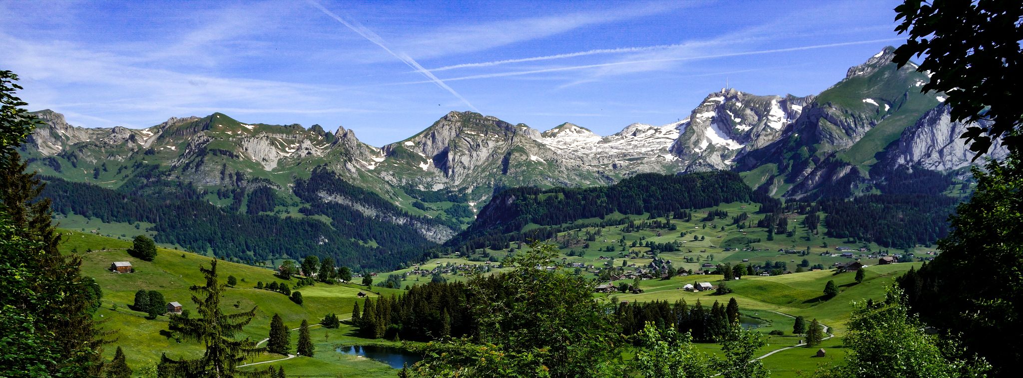
Toggenburger Höhenweg – Demanding hiking near St. Gallen

Lake and Alps Adventure – explore 100 dreamy places in our cycling region!
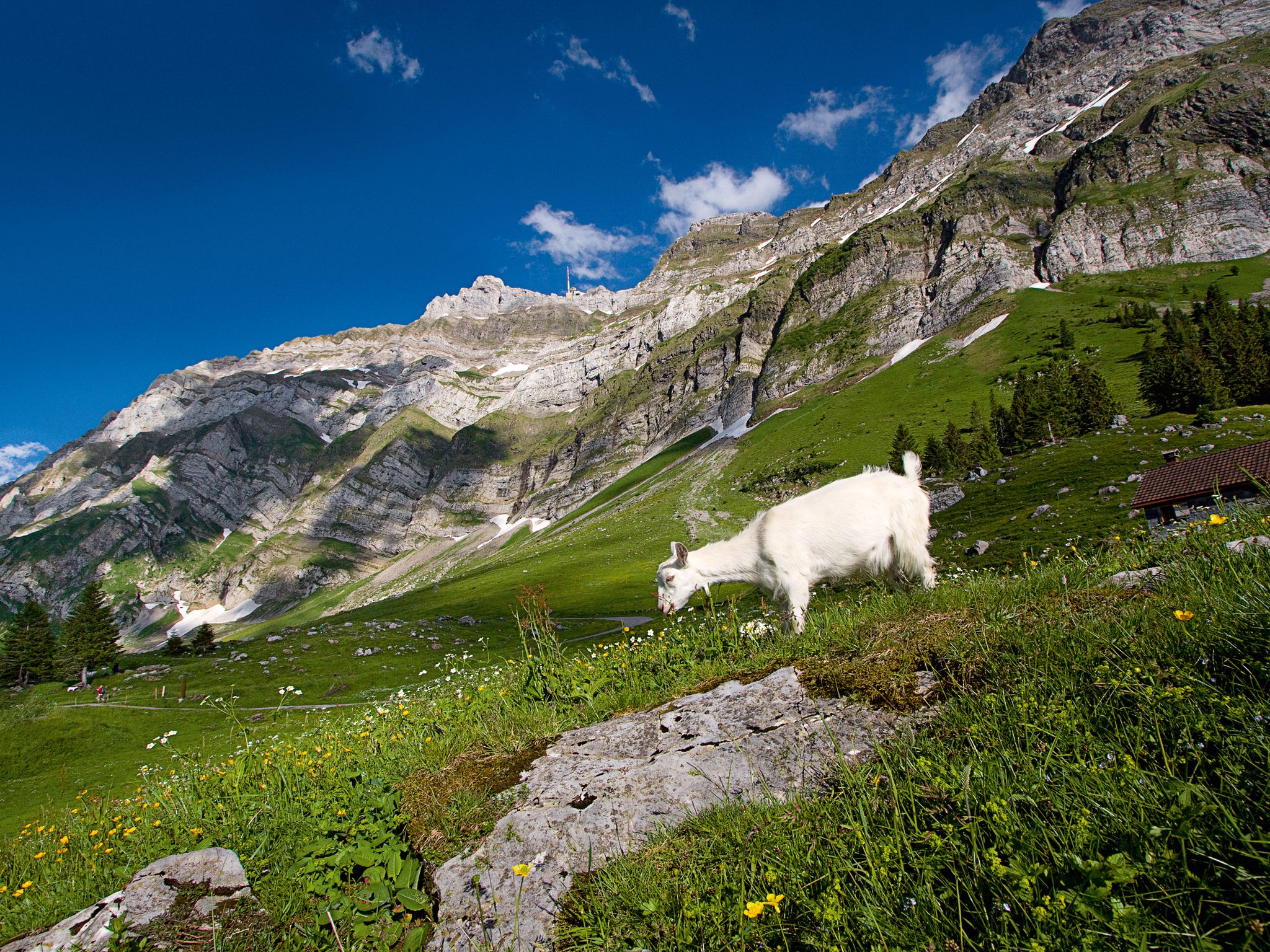
When the mountain awakens – spring hikes around the Schwägalp
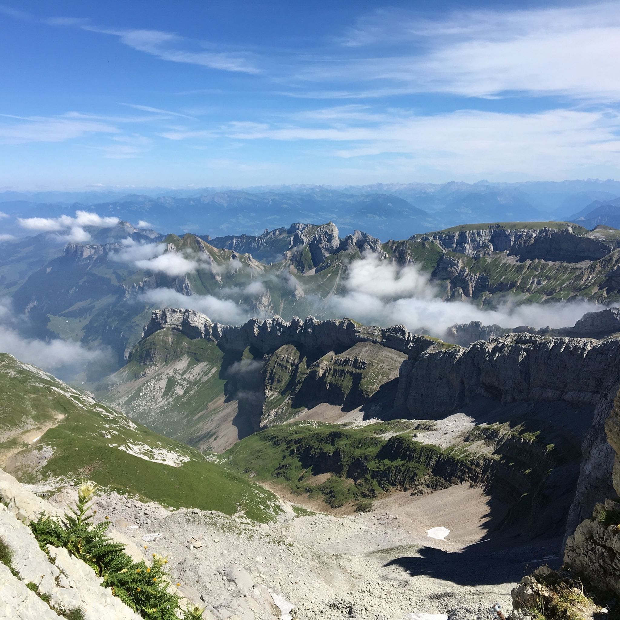
Hiking around Alt St Johann und Unterwasser
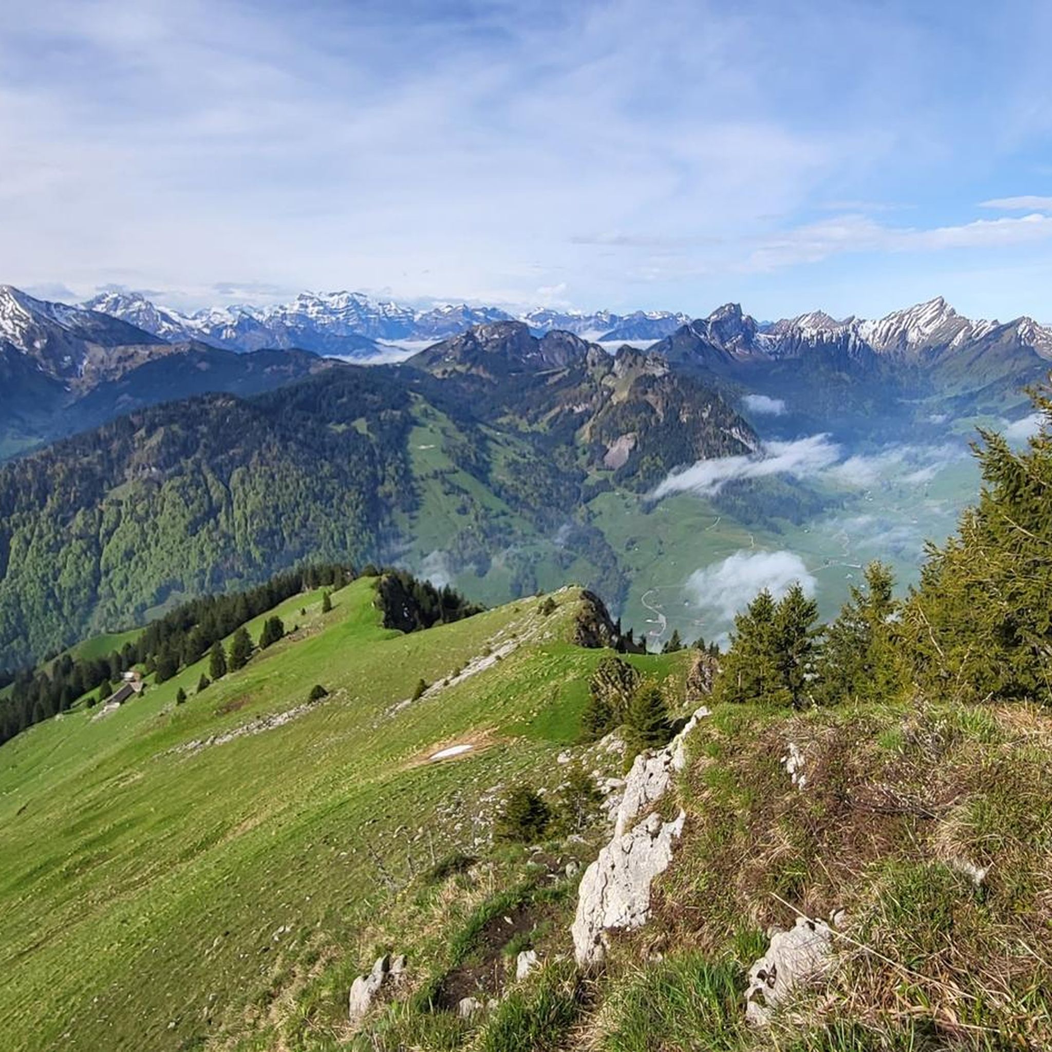
MTB Trails around Alt St Johann und Unterwasser
Road Cycling Routes around Alt St Johann und Unterwasser
Cycling around Alt St Johann und Unterwasser
Running Trails around Alt St Johann und Unterwasser
Gravel biking around Alt St Johann und Unterwasser
Other adventures around Alt St Johann und Unterwasser


Tips from the Community

The Gamschopf (1,961 m) is a distinctive peak in the western Alpstein above Wildhaus. It lies between Schrenit and Stoss and is primarily known among experienced alpinists. While hiking trails pass by its foot, the ascent to the summit requires climbing experience. From the top, there is an impressive view of the Säntis, the Churfirsten, and the Toggenburg.
0
0

Chäserrugg Summit Restaurant at 2,262 m above sea level / Panoramic views of 6 countries Refined cuisine with panoramic views of 6 countries – the summit restaurant by Herzog & de Meuron offers unforgettable moments at 2,262 m above sea level, whatever the weather. Even during construction, the mountain station set an example: out of respect for the environment, all materials, with the exception of the crane, were delivered by cable car. Sustainability is essential for us, and we are committed to using regional and seasonal products. The entire restaurant is wheelchair accessible and easily reachable by cable car for people with reduced mobility. Text / Source: Toggenburg Mountain Railways, Unterwasser https://www.chaeserrugg.ch/de/geniessen/restaurants/gipfelrestaurant-chaeserrugg
14
0

Fountain, tables, chairs and toilet
0
0
Iltios Mountain Restaurant A stopover on the way to the summit, an ice cream break on the Klangweg trail, or the starting point of a hike – all roads lead to Iltios. The Iltios plateau has been a popular destination in the Churfirsten region since the 1930s. As a hub for trails and slopes, it plays an important role and is easily accessible for people with limited mobility. The restaurant also houses the playground and the ski school meeting point with its children's area. Text / Source: Toggenburg Bergbahnen, CH-9657 Unterwasser https://www.chaeserrugg.ch/de/geniessen/restaurants/bergrestaurant-iltios
15
0

Beautiful view
0
0

Beautiful hike from the Sellamatt cable car. Steel ropes and climbing
1
0

Simply WOOOOOW. A fantastic view over Lake Walen and the rest of the Churfirsten range.
10
0
A great mountain, which can get a bit crowded on nice days. It's worth hiking up as the trails are great!
12
1
Frequently Asked Questions
Are there any easy mountaineering routes suitable for beginners around Alt St. Johann and Unterwasser?
The mountaineering routes in this region are generally challenging. While there are no routes classified as 'easy' in our selection, you can find three 'moderate' options. These might be suitable for beginners with some prior alpine hiking experience and good physical condition. One such route is the Gamschopf loop from Laui-Alpli, which offers a steady ascent through alpine meadows.
What are the typical durations and distances for mountaineering routes in Alt St. Johann and Unterwasser?
Mountaineering routes in this area vary significantly in length and duration. You can expect routes ranging from approximately 5.6 miles (9.1 km) to over 10 miles (16 km). Durations typically span from around 4-5 hours for moderate routes to 7-8 hours or more for difficult ascents, depending on your pace and conditions.
Where can I find parking and trailheads for mountaineering in Alt St. Johann and Unterwasser?
Many routes in the Toggenburg region, including those around Alt St. Johann and Unterwasser, often start near mountain lift stations or accessible valley points. For example, routes like the Hinterrugg Summit loop from Wildhaus-Alt St. Johann typically have parking available in Wildhaus or Alt St. Johann. For routes starting from Unterwasser, parking is usually found near the Iltiosbahn cable car station.
Are the mountaineering routes around Alt St. Johann and Unterwasser dog-friendly?
Many trails in the Toggenburg region are generally dog-friendly, but it's crucial to keep dogs on a leash, especially in alpine pastures where livestock may be present. Always ensure your dog is fit enough for the challenging terrain and carry enough water for both of you. Some routes may involve sections where dogs might need assistance, such as ladders or steep rocky passages.
What is the best time of year for mountaineering in this region?
The prime season for mountaineering around Alt St. Johann and Unterwasser is typically from late spring (June) through early autumn (October). During these months, snow has usually melted from higher elevations, and weather conditions are generally more stable. Always check local weather forecasts and trail conditions before heading out, as alpine weather can change rapidly.
Are there any circular mountaineering routes in the area?
Yes, several mountaineering routes in the region are designed as loops, allowing you to return to your starting point without retracing your steps. An example is the Churfirsten Summit Viewpoint – Zuestoll (2,234 m) loop from Alt St. Johann, which offers a comprehensive experience of the alpine landscape.
What kind of viewpoints can I expect on these mountaineering routes?
The Churfirsten range is renowned for its panoramic views. Mountaineering routes often lead to spectacular vantage points offering expansive vistas of the Toggenburg valley, Lake Walen, and the surrounding Swiss Alps. The Chäserrugg Mountain Station – Hinterrugg Summit loop from Unterwasser (Iltiosbahn), for instance, provides breathtaking views from the Hinterrugg summit.
What do other mountaineers enjoy most about the routes in Alt St. Johann?
The mountaineering routes in Alt St. Johann are highly rated by the komoot community, with an average score of 4.8 stars from over 70 reviews. Reviewers often praise the challenging ascents, the stunning panoramic views from the Churfirsten peaks, and the diverse alpine terrain that includes rocky sections and high pastures.
Are there any cafes or restaurants near the mountaineering trails?
Yes, in the Toggenburg region, you'll often find mountain restaurants or 'Berggasthäuser' at cable car stations or along popular routes. For example, the Prodalp Mountain Restaurant is a notable spot in the wider area, offering refreshments. It's always a good idea to check opening times, especially outside peak season.
What are some interesting landmarks or attractions near the mountaineering routes?
Beyond the stunning natural landscapes, the region offers several points of interest. You can explore various mountain passes like Saxer Lücke or Rotstein Pass, which are significant features of the alpine terrain. The area also has facilities like Schwägalp, a popular starting point for excursions to Säntis.
How many mountaineering routes are available in Alt St. Johann and Unterwasser?
There are over 10 dedicated mountaineering routes around Alt St. Johann and Unterwasser listed on komoot. These routes cater to various levels of difficulty, with a majority being classified as difficult, offering significant challenges and rewards for experienced mountaineers.
Are there options for winter mountaineering in this area?
While the region is popular for winter sports, dedicated winter mountaineering requires specialized equipment, training, and knowledge of avalanche safety. Many summer mountaineering routes become inaccessible or highly dangerous in winter due to snow and ice. It's crucial to consult local alpine guides and official avalanche reports if considering winter ascents.
Most popular routes around Alt St Johann und Unterwasser
Most popular attractions around Alt St Johann und Unterwasser

Get inspired with the komoot mobile app


Explore more
Browse the best Mountain Hikes & Routes in other regions.
