The best mountain hikes around Rebstein
4.9
(28)
203
hikers
14
hikes
Mountaineering around Rebstein offers diverse landscapes, transitioning from the Rheintal valley floor to the elevated Appenzell foothills. The region is characterized by varied terrain, including forested areas, agricultural lands, and views towards the majestic Alpstein massif. While technical mountaineering is less prominent, the area provides extensive mountain walking and demanding hikes. These routes often feature significant elevation changes, requiring good fitness and sure-footedness.
Best mountaineering routes around Rebstein
- The most popular mountaineering route is Kapfweg Cliffside Staircase – Kapf Summit…
Last updated: June 24, 2026
4.5
(4)
24
hikers
8.11km
03:32
590m
590m
Hard mountaineering route. Good fitness required. Sure-footedness, sturdy shoes and alpine experience required.
5.0
(6)
16
hikers
16.7km
07:38
1,230m
1,230m
Hard mountaineering route. Very good fitness required. Sure-footedness, sturdy shoes and alpine experience required.

Sign up for free
5.0
(1)
18
hikers
10.8km
04:09
630m
630m
Hard mountaineering route. Good fitness required. Sure-footedness, sturdy shoes and alpine experience required.
5.0
(2)
15
hikers
6.23km
02:30
470m
470m
Moderate mountaineering route. Good fitness required. Mostly accessible paths. Sure-footedness required.
5.0
(1)
7
hikers
13.1km
05:08
770m
770m
Hard mountaineering route. Very good fitness required. Sure-footedness, sturdy shoes and alpine experience required.
Get access to more routes and recommendations from other explorers.
Sign up for free
Already have an account?
Our route recommendations are based on thousands of hikes, rides, and runs completed by other people on komoot.
Start today with a free account
Your next adventure awaits.
Login or Signup
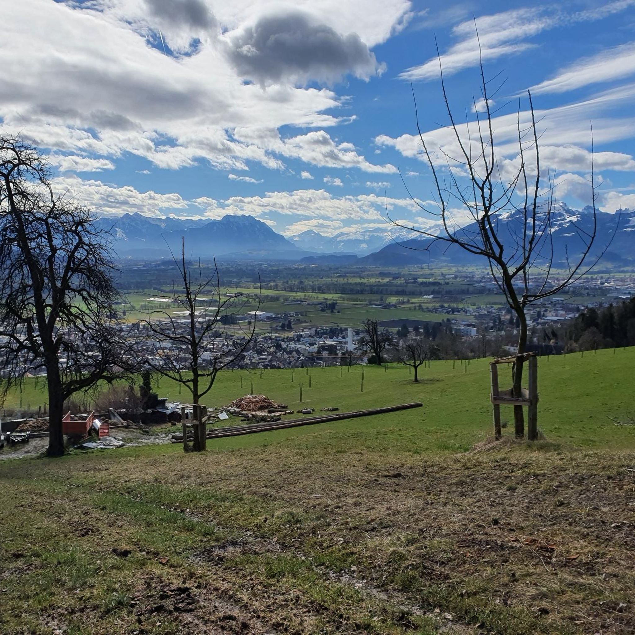
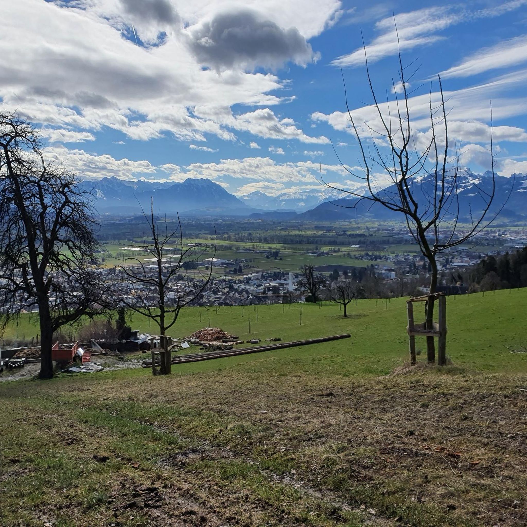
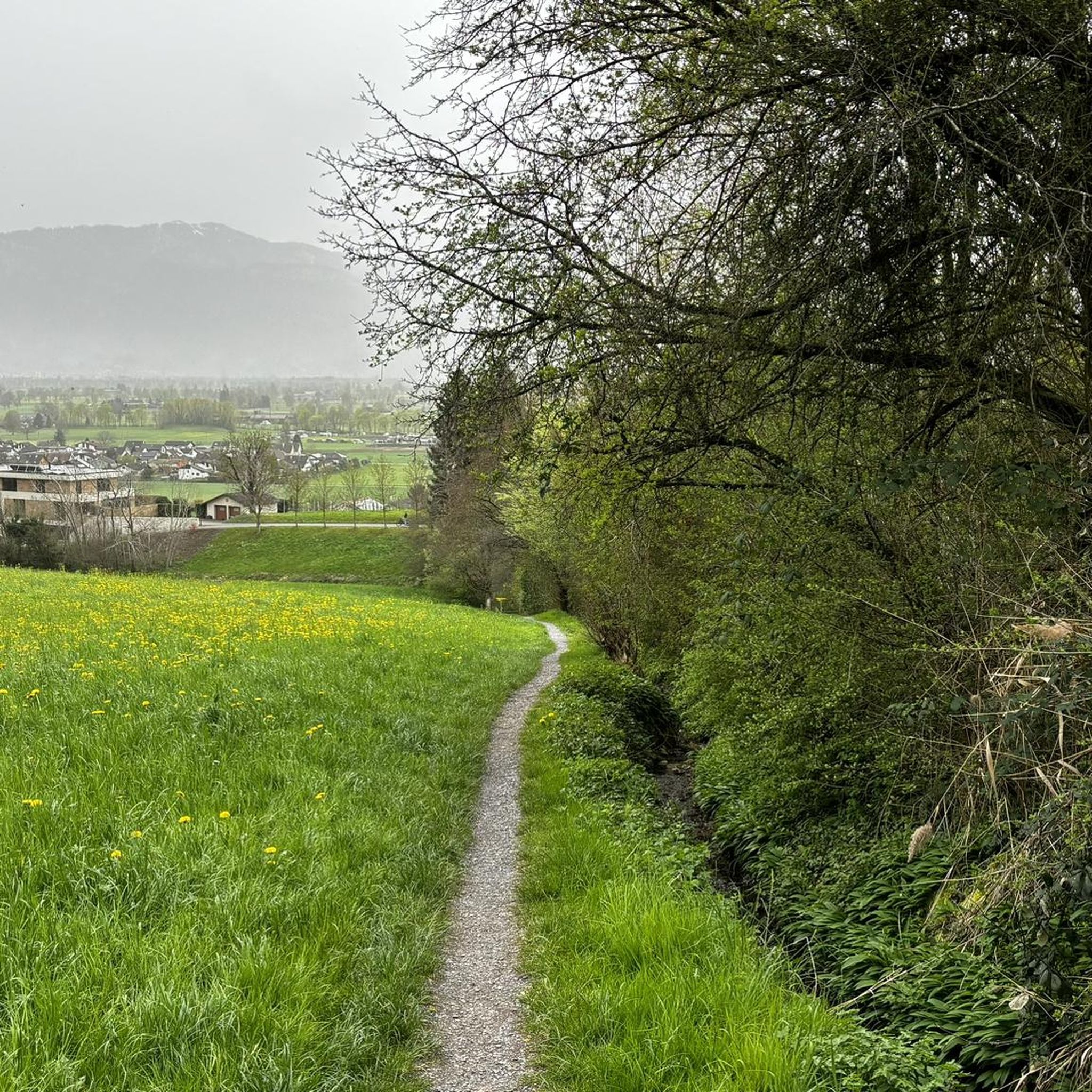
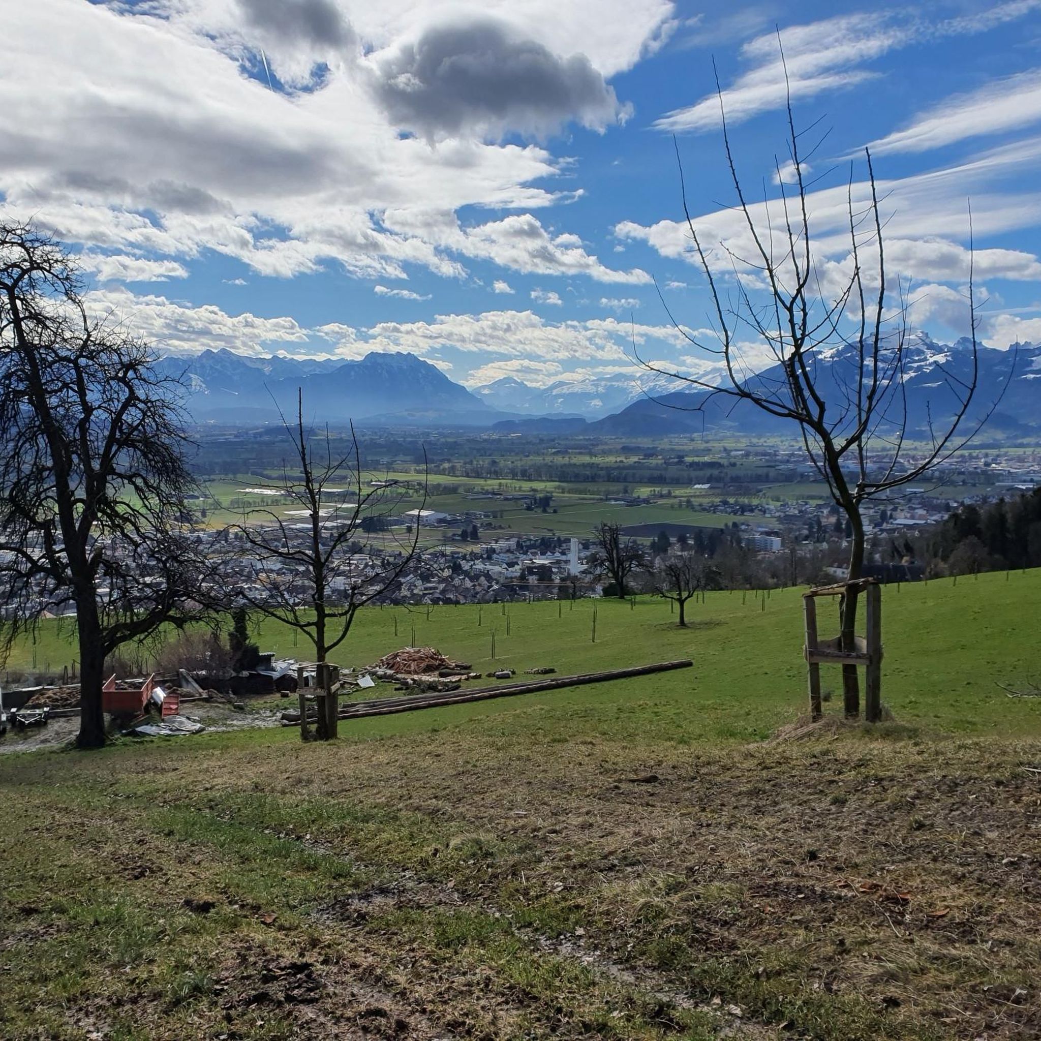
Tips from the Community

Great Alp with terrace, definitely worth a visit.
8
0
What a view from the Kapf, 1153 m above sea level. The Kapf is a 1153 m high mountain in the Bregenzerwald Mountains. It is located near the town of Hohenems. From the summit, there are views of the Rhine Valley and Lake Constance. It is located in the Hohe Kugel - Hoher Freschen - Mellental nature reserve. Source: https://de.m.wikipedia.org/wiki/Kapf_(Bregenzerwaldgebirge)
9
0
The Witeleloch was first described in a newspaper article around 1907 by archaeologist and amateur geologist Gero von Merhart, who used the name Elisabethhöhle. In 1922, the cave was described by Josef Blumrich, a teacher from Bregenz. The cave has been designated a geological natural monument since April 1979. Source: https://de.m.wikipedia.org/wiki/Witeleloch
8
0

The world-class nut peaks are ONLY available up there, because they are a special production ‼️
0
0
The nut peaks in Gsohl are world class and because they are a special production, they are ONLY available there ‼️
1
0

Always a great destination with a great view over the Rhine Valley 🥰
3
0
Great hut with a beautiful view of the Rhine Valley. Definitely worth a visit 😉.
5
0
Frequently Asked Questions
How many mountaineering routes are available around Rebstein?
There are 15 distinct mountaineering routes around Rebstein listed in this guide. The area is known for its extensive mountain walking and demanding hikes, with most routes classified as difficult.
What are the typical difficulty levels for mountaineering routes in Rebstein?
The majority of mountaineering routes around Rebstein are classified as difficult, requiring good fitness and sure-footedness. There are also a couple of moderate routes available for those seeking a slightly less strenuous challenge. No easy routes are listed in this guide.
Are there any circular mountaineering routes in the Rebstein area?
Yes, many routes around Rebstein are designed as loops, allowing you to start and finish at the same point. For example, the Bremaries Trail – Emsbach Trail loop from Hohenems is a challenging circular option, covering about 5.7 km.
What kind of views can I expect on the mountaineering routes around Rebstein?
Mountaineering routes in Rebstein offer expansive vistas. You can expect stunning panoramic views of the Rheintal (Rhine Valley), the majestic Alpstein massif, the Vorarlberger Berge, and even Lake Constance from higher elevations. The landscape transitions from forested areas to agricultural lands and the Appenzell foothills.
Are there any historical sites or castles to explore along the routes?
Yes, the region around Rebstein is rich in historical landmarks. You can find several castles and ruins nearby. Notable examples include Grünenstein Castle, Alt-Ems Castle Ruins, and Grimmenstein Castle Ruins, which add a cultural dimension to your outdoor excursions.
Can I find waterfalls or gorges along the mountaineering trails?
Yes, there are several natural water features in the vicinity. You might encounter highlights like the Örfla Gorge or the Emsbach Waterfall Trail, offering picturesque scenery and refreshing stops.
Are there any routes that include a via ferrata (Klettersteig)?
Yes, for those seeking a more technical challenge, the Via Kapf via ferrata – Kapf Summit Cross loop from Hopfreben is a difficult route that incorporates a via ferrata section, leading to a summit cross.
What do other mountaineers enjoy most about the routes in Rebstein?
The routes in Rebstein are highly rated by the komoot community, with an average score of 4.9 stars from more than 20 reviews. Mountaineers often praise the varied terrain, the challenging nature of the hikes, and the rewarding panoramic views of the Rheintal and Alpstein massif.
Is public transport an option for accessing mountaineering routes in Rebstein?
Rebstein is located in the St. Gallen canton of Switzerland, which generally has good public transport infrastructure. While specific route access points vary, it's often possible to reach trailheads using local bus services or trains, especially for routes starting from larger towns like Hohenems or Götzis. It's advisable to check local timetables for specific starting points.
Are there suitable mountaineering routes for families with children?
While many routes in this guide are classified as difficult and require good fitness and sure-footedness, the broader Rebstein area offers a variety of hiking and walking routes. For families, it's best to look for paths explicitly marked as easy or family-friendly, which might be less steep and shorter than the mountaineering routes highlighted here. Always check the route description and difficulty before setting out with children.
What is the best time of year for mountaineering in Rebstein?
The best time for mountaineering in Rebstein is typically from late spring to early autumn (May to October), when the weather is generally stable and trails are clear of snow. During these months, you can fully enjoy the diverse landscapes and panoramic views. Always check local weather conditions before heading out, as alpine weather can change rapidly.
Are there any moderate mountaineering routes for those looking for a less intense experience?
Yes, while most routes are difficult, there are a couple of moderate options available. These routes still require good fitness but are less demanding than the most challenging trails. An example is the Bepposteig – Emsbach Trail loop from Hohenems, which offers varied terrain over 10.8 km.
Most popular routes around Rebstein
Most popular attractions around Rebstein

Get inspired with the komoot mobile app


Explore more
Browse the best Mountain Hikes & Routes in other regions.
