The best walks and hikes around Chaudeney-Sur-Moselle
4.5
(345)
1,774
hikers
184
hikes
Hiking around Chaudeney-Sur-Moselle offers varied landscapes, from riverside environments along the Moselle River to forested uplands. The terrain features a gradual rise from west to east, incorporating agricultural areas, vineyards, and plateaus. This region provides a mix of natural and man-made features for hikers to explore.
Best hiking trails around Chaudeney-Sur-Moselle
- The most popular hiking route is Villey-le-Sec Dam – Well Cave loop from Villey-le-Sec, a 6.4 miles (10.3 km) moderate trail that takes 2 hours 48 minutes to…
Last updated: July 2, 2026
4.8
(28)
123
hikers
10.3km
02:49
140m
140m
Moderate hike. Good fitness required. Easily-accessible paths. Suitable for all skill levels.
4.5
(8)
35
hikers
12.4km
03:21
160m
160m
Moderate hike. Good fitness required. Easily-accessible paths. Suitable for all skill levels.

Sign up for free
4.5
(4)
20
hikers
6.87km
01:53
110m
100m
Easy hike. Great for any fitness level. Easily-accessible paths. Suitable for all skill levels.
3.9
(21)
72
hikers
12.2km
03:12
90m
90m
Moderate hike. Good fitness required. Easily-accessible paths. Suitable for all skill levels.
4.0
(1)
24
hikers
Moderate hike. Good fitness required. Easily-accessible paths. Suitable for all skill levels.
Get access to more routes and recommendations from other explorers.
Sign up for free
Already have an account?
Our route recommendations are based on thousands of hikes, rides, and runs completed by other people on komoot.
Start today with a free account
Your next adventure awaits.
Login or Signup


Tips from the Community


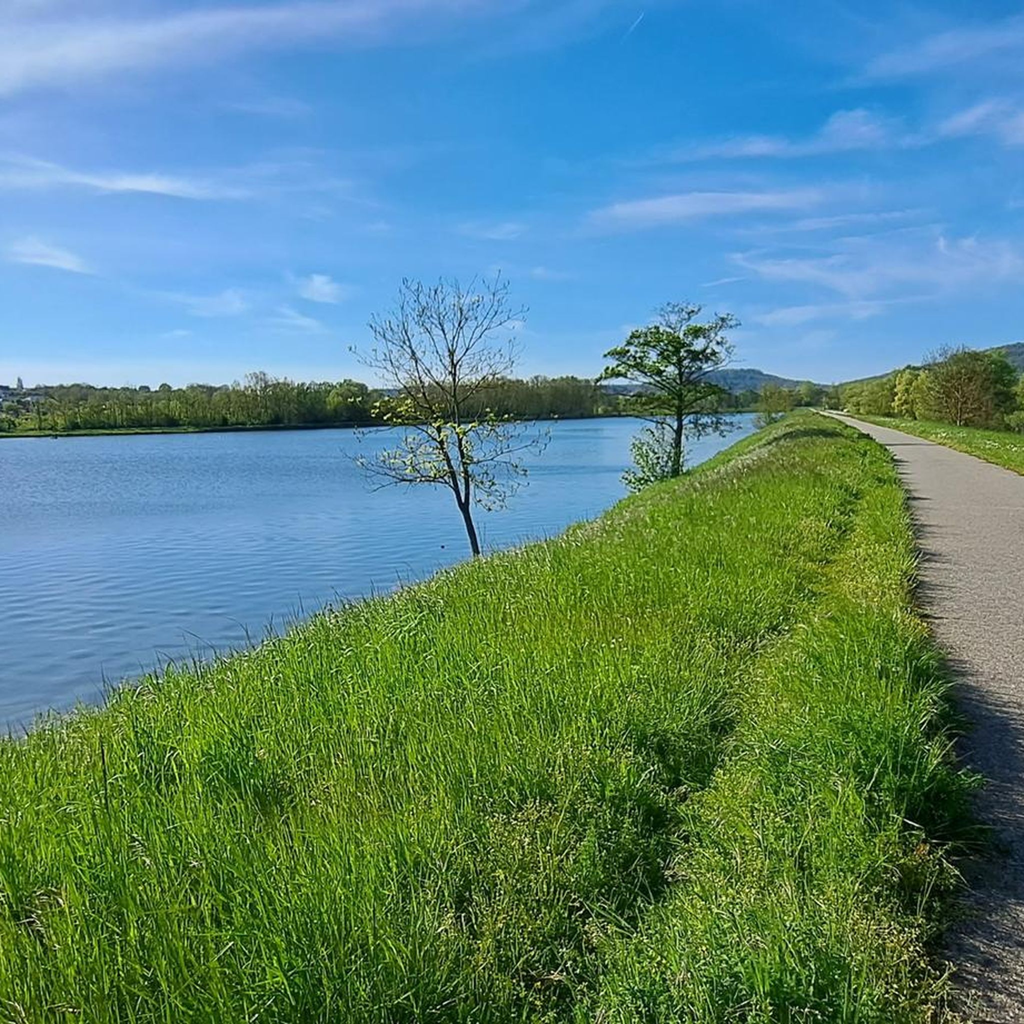
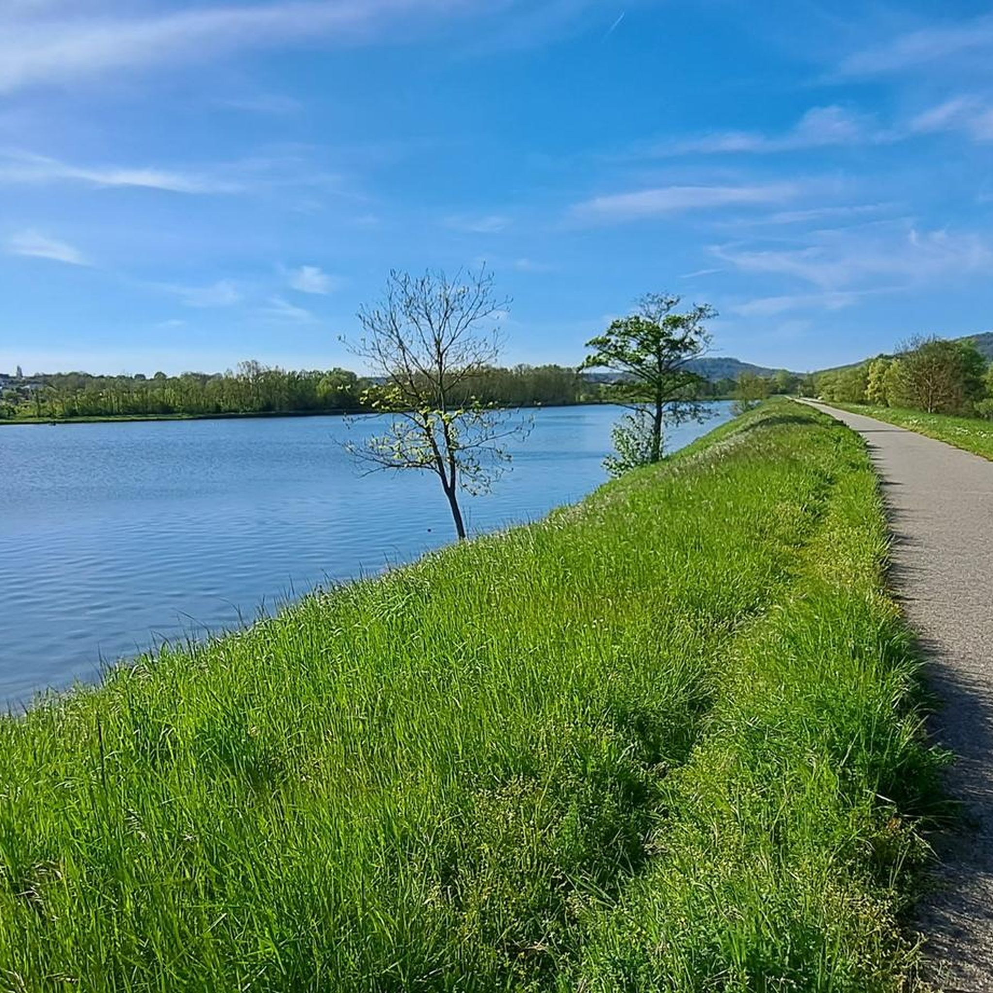
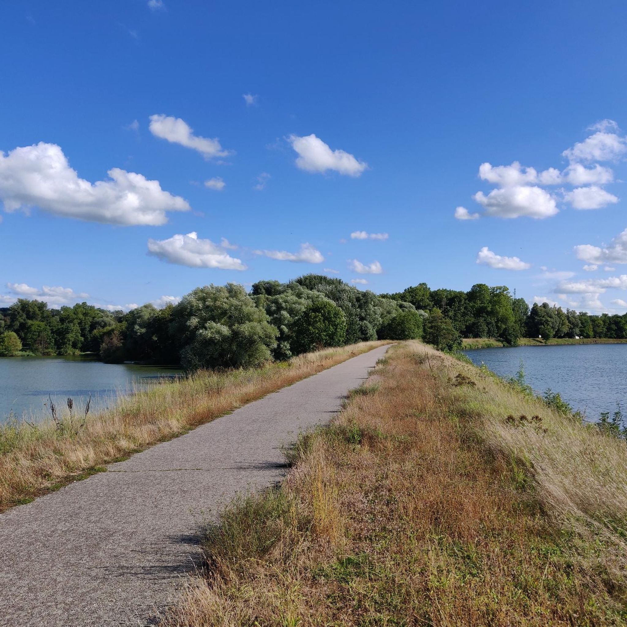
The Villey-le-Sec Dam offers a great mix of stunning scenery and challenges for road cyclists. Located on the Moselle River, you'll ride on well-maintained paths and enjoy views of this relaxing river.
1
0

One of the many caves in this Moselle valley. The cave is 370 meters long and 16 meters deep.
8
0

A little further towards the barrage you get a better impression of how powerful the river is here. With a bit of luck you can see cormorants.
3
0
According to the sign in front of the ruins: The frail barracks are the so-called “peacetime” stores, installed behind the fortifications far from the fighting. The reserve of ready-to-use gunpowder was stored there. most of the stock of explosives was placed at the bottom of the galleries underground, protected from any bombardment. These installations, like the fort of Villey-le-Sec, have never experienced the test of fire. Today, the underground galleries are used as a refuge for bats.
2
0
In addition to the caves 'Grotte Sainte Reine' and 'Grotte de Sept Salles' in the immediate vicinity, there is another karst cave on the hiking trail.
5
1
The Sainte-Reine cave or Sainte-Reine hole is the second natural cavity in the department of Meurthe-et-Moselle in terms of known development and has been classified as a historic monument since 1910. It has several entrances classified under the general name of "Caves known as Trou de Sainte-Reine" and was originally part of an endokarst under the bottom of the Moselle valley.
3
0
Frequently Asked Questions
How many hiking trails are available around Chaudeney-Sur-Moselle?
There are over 170 hiking routes in the Chaudeney-Sur-Moselle area, offering a wide range of options for all skill levels. This includes 70 easy routes, 87 moderate routes, and 18 more challenging trails.
What kind of terrain can I expect on hikes near Chaudeney-Sur-Moselle?
The terrain around Chaudeney-Sur-Moselle is quite varied. You'll find pleasant riverside walks along the Moselle River, extensive forested uplands, and agricultural areas with vineyards and plateaus. The landscape generally rises gradually from west to east, providing diverse scenery.
Are there any easy, family-friendly walks in Chaudeney-Sur-Moselle?
Yes, there are many easy routes suitable for families. For example, the Sentier des Bornes – Ancient Roman Road loop from Pierre-la-Treiche is an easy 6.9 km trail that takes about 1 hour 53 minutes. Another accessible option is the Moselle Gate – Vauban Fortifications, Toul loop from Toul, which is 6.6 km and relatively flat.
What interesting landmarks or natural features can I see on a hike?
Many trails incorporate historical and natural points of interest. You can explore sites like the Fort de Villey-le-Sec, a 19th-century fortification, or the impressive Toul Cathedral. Natural features include the Moselle River itself, the Chaudeney dam, and the Lourdes Grotto.
Are there any circular hiking routes available?
Yes, many routes are designed as loops. For instance, the Villey-le-Sec Dam – Well Cave loop from Villey-le-Sec is a moderate 10.3 km circular trail. Another option is the Deuil Spring, Ochey – Sentier des Bornes loop from Pierre-la-Treiche, a 12.4 km moderate loop.
What do other hikers say about the trails in Chaudeney-Sur-Moselle?
The hiking routes in Chaudeney-Sur-Moselle are highly rated by the komoot community, with an average score of 4.5 stars from over 280 reviews. Over 1,600 hikers have used komoot to explore the varied terrain, often praising the mix of riverside paths and forested sections.
Is it possible to hike along the Moselle River?
Absolutely. The Moselle River is a central feature of the region, and many routes follow its banks. These riverside paths often provide relatively flat and scenic walks, sometimes passing by features like the Chaudeney dam and locks, or connecting to the Moselle cycle path.
What are the best seasons for hiking in Chaudeney-Sur-Moselle?
The region offers enjoyable hiking throughout much of the year. Spring and autumn provide pleasant temperatures and beautiful scenery with blooming flowers or vibrant fall foliage. Summer is also popular, especially for riverside walks, while winter can offer a different, serene experience, though some trails might be muddy or require appropriate gear.
Are there any longer, more challenging hikes in the area?
While many routes are easy to moderate, there are 18 more difficult trails for those seeking a challenge. Routes like the Well Cave – Sainte-Reine Cave loop from Pierre-la-Treiche, at 12.2 km, offer a moderate challenge with some elevation changes, leading through diverse landscapes.
Where can I find parking for hiking trails in Chaudeney-Sur-Moselle?
Parking availability varies by trailhead. Many routes start from villages like Pierre-la-Treiche or Villey-le-Sec, where public parking is generally available. It's advisable to check specific route details on komoot for recommended starting points and parking information.
Can I reach hiking trails using public transport?
Public transport options to reach trailheads in and around Chaudeney-Sur-Moselle exist, though they might be less frequent than in larger urban areas. Toul, a nearby town, is a transport hub. For detailed information on bus or train connections to specific starting points, it's best to consult local public transport schedules.
Are there any specific forest areas to explore?
Yes, the region is rich in forested areas. The
Most popular routes around Chaudeney-Sur-Moselle
Most popular attractions around Chaudeney-Sur-Moselle

Get inspired with the komoot mobile app


Explore more
Browse the best Hikes in other regions.
