The best road cycling routes around Moreuil
4.2
(17)
247
riders
35
rides
Road cycling routes around Moreuil are situated in the heart of Santerre, approximately 20 kilometers south of Amiens, offering diverse landscapes for cyclists. The region features mostly paved surfaces, with routes ranging from minimal elevation gain to more challenging climbs. Cyclists can find paths through rural fields and forests, alongside the Avre River, and past protected natural areas.
Best road cycling routes around Moreuil
- The most popular road cycling route is Saint-Domice Chapel – Château de Guyencourt-sur-Noye loop from Moreuil…
Last updated: July 13, 2026
15
riders
37.7km
01:38
260m
260m
Easy road ride. Great for any fitness level. Mostly well-paved surfaces and easy to ride.
7
riders
55.6km
02:36
460m
460m
Moderate road ride. Good fitness required. Mostly well-paved surfaces and easy to ride.

Sign up for free
6
riders
81.6km
03:18
310m
310m
Moderate road ride. Good fitness required. Mostly well-paved surfaces and easy to ride.
12
riders
44.2km
01:53
210m
210m
Easy road ride. Great for any fitness level. Mostly well-paved surfaces and easy to ride.
4
riders
45.8km
01:55
300m
300m
Easy road ride. Great for any fitness level. Mostly well-paved surfaces and easy to ride.
Get access to more routes and recommendations from other explorers.
Sign up for free
Already have an account?
Our route recommendations are based on thousands of hikes, rides, and runs completed by other people on komoot.
Start today with a free account
Your next adventure awaits.
Login or Signup



Tips from the Community

Site managed by the Conservatoire d'Espaces Naturels des Hauts de France (Hauts-de-France Regional Nature Reserve). A wide, stabilized gravel path, open to the public, is maintained and marked with signposts. Since 2012, an audio guide has allowed you to explore the nature reserve with a "virtual guide." QR codes placed along the path allow you to play the audio clips using your smartphone. This audio guide is available in three languages (French, English, and Dutch). https://www.cen-hautsdefrance.org/rnn-l-etang-saint-ladre
0
0
The Etang Saint-Ladre Nature Reserve in Boves is located at the gates of Amiens, in the L’Avre Valley, a tributary of the Somme. In 1979, it became the first site in Picardy to be classified as a State Nature Reserve. The ecological management implemented since the 1990s has made it possible to develop a complex mosaic of habitats among the most representative of alkaline peat systems, allowing the expression of characteristic, often heritage, flora and fauna. Find all the information concerning this site here: https://www.cen-hautsdefrance.org/site/rnn-letang-saint-ladre/
0
0

A beautiful place for a walk in nature. The bike path is perfect.
0
0

Enjoy going to the magnificent show: The Breath of the Earth
0
2

Castle inhabited and carefully maintained.
0
0
Castle of 18th - 19th century.
0
0

Frequently Asked Questions
How many road cycling routes are available around Moreuil?
Moreuil offers a wide selection of road cycling routes, with over 35 options available for exploration. These routes cater to various preferences, from easy rides to more challenging excursions.
What are the typical difficulty levels for road cycling routes in Moreuil?
The road cycling routes around Moreuil offer a range of difficulty levels. You'll find 9 easy routes, 25 moderate routes, and 1 more challenging route, ensuring options for cyclists of all experience levels.
What natural features can I expect to see while cycling around Moreuil?
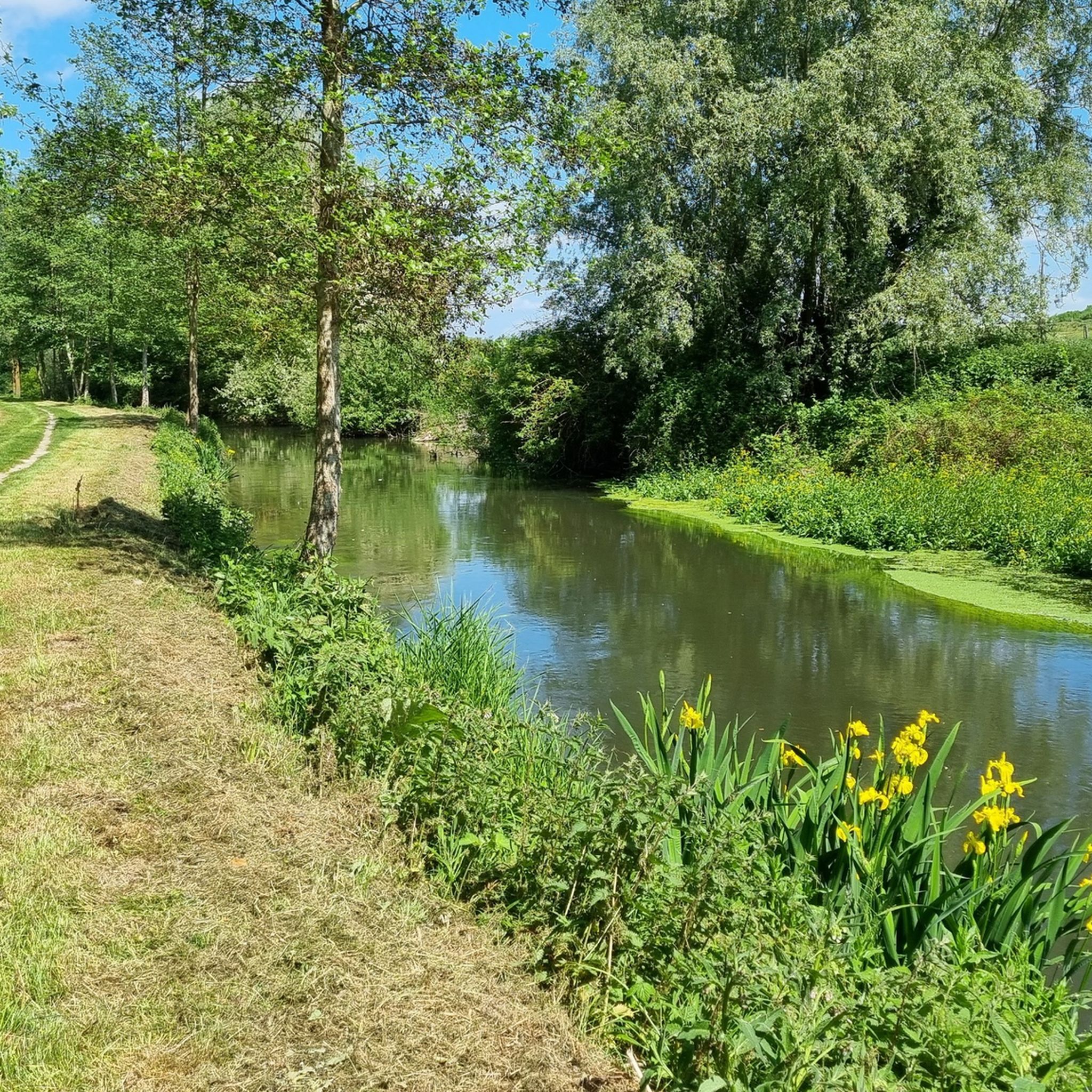
Road cycling routes in Moreuil often feature the scenic Avre River and its ponds, as well as extensive rural fields and forests. You can also explore protected natural spaces like the 40-hectare natural area within a meander of the Avre and the nearby Saint-Ladre Pond Nature Reserve, Picardy's first natural reserve.
Are there any historical landmarks or points of interest along the road cycling routes?
Yes, some routes pass by historical landmarks. For instance, the Saint-Domice Chapel – Château de Guyencourt-sur-Noye loop from Moreuil takes you past notable historical sites. The region's proximity to towns of art and history like Amiens and Noyon also adds cultural appeal.
Are there family-friendly road cycling routes in Moreuil?
Many routes around Moreuil feature mostly paved surfaces and minimal elevation gain, making them suitable for families. Routes under two hours are ideal for beginners or those cycling with children. Always check the route details for specific suitability.
What do other cyclists enjoy most about road cycling in Moreuil?
The road cycling experience in Moreuil is highly rated by the komoot community, with an average score of 4.2 stars from over 15 reviews. Cyclists often praise the diverse landscapes, from quiet rural fields and forests to scenic paths along the Avre River, and the variety of routes suitable for different abilities.
Are there circular road cycling routes available?
Yes, many of the road cycling routes around Moreuil are designed as loops, offering convenient circular journeys. Examples include the Saint-Ladre Pond – Étang de Berny loop from Moreuil and the Roadbike loop from Moreuil.
Can I find places to eat or drink along the cycling routes?
The region around Moreuil is known to have amenities such as cafés and restaurants along various routes, providing convenient stops for rest and refueling during your ride.
What is the longest road cycling route I can find in Moreuil?
One of the longer routes available is the Roadbike loop from Moreuil, which spans 50.7 miles (81.6 km) and typically takes around 3 hours and 18 minutes to complete, leading through diverse rural landscapes.
What is the elevation profile like for road cycling in Moreuil?
Moreuil offers varied elevation profiles. While some routes have minimal elevation gain, ideal for easier rides, others can exceed 1500 feet (470 meters) of ascent, such as the Saint-Ladre Pond – Étang de Berny loop from Moreuil, requiring good to very good fitness.
Are there any specific routes that highlight the Avre River?
Yes, the Avre River is a prominent feature in the region's cycling. Routes like "On the banks of the Avre" (a highlight you might encounter) specifically showcase the scenic beauty of the river and its associated ponds.
Where can I find more information about cycling in the broader Hauts-de-France region?
For more information on cycling opportunities and paths throughout the Hauts-de-France region, you can visit the official tourism website: hautsdefrancetourism.com.
Most popular attractions around Moreuil

Get inspired with the komoot mobile app


Explore more
Browse the best Road cycling routes in other regions.
