The best running trails around Saint-Martin-Sur-Lavezon
4.2
(66)
3,546
runners
259
runs
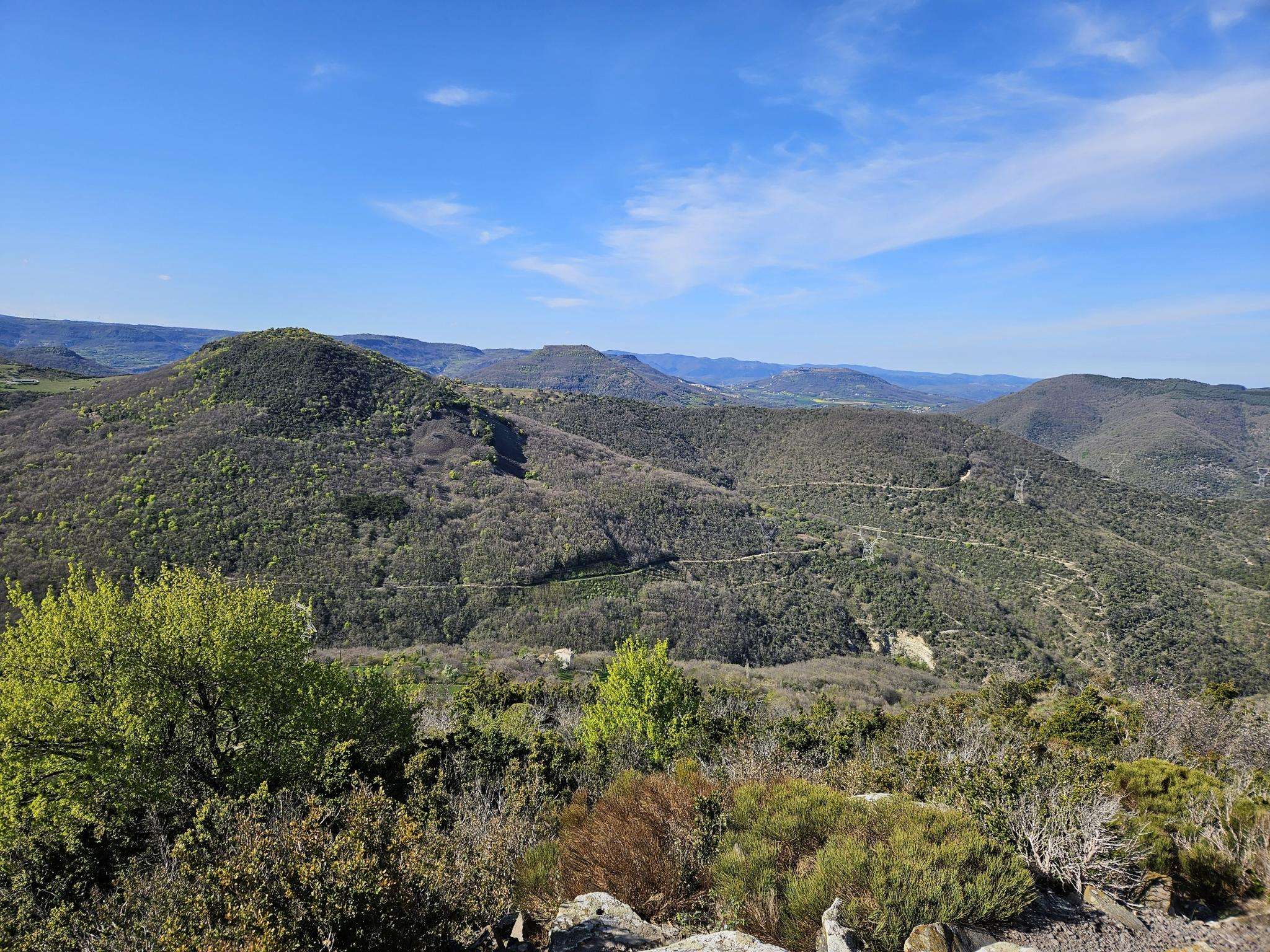
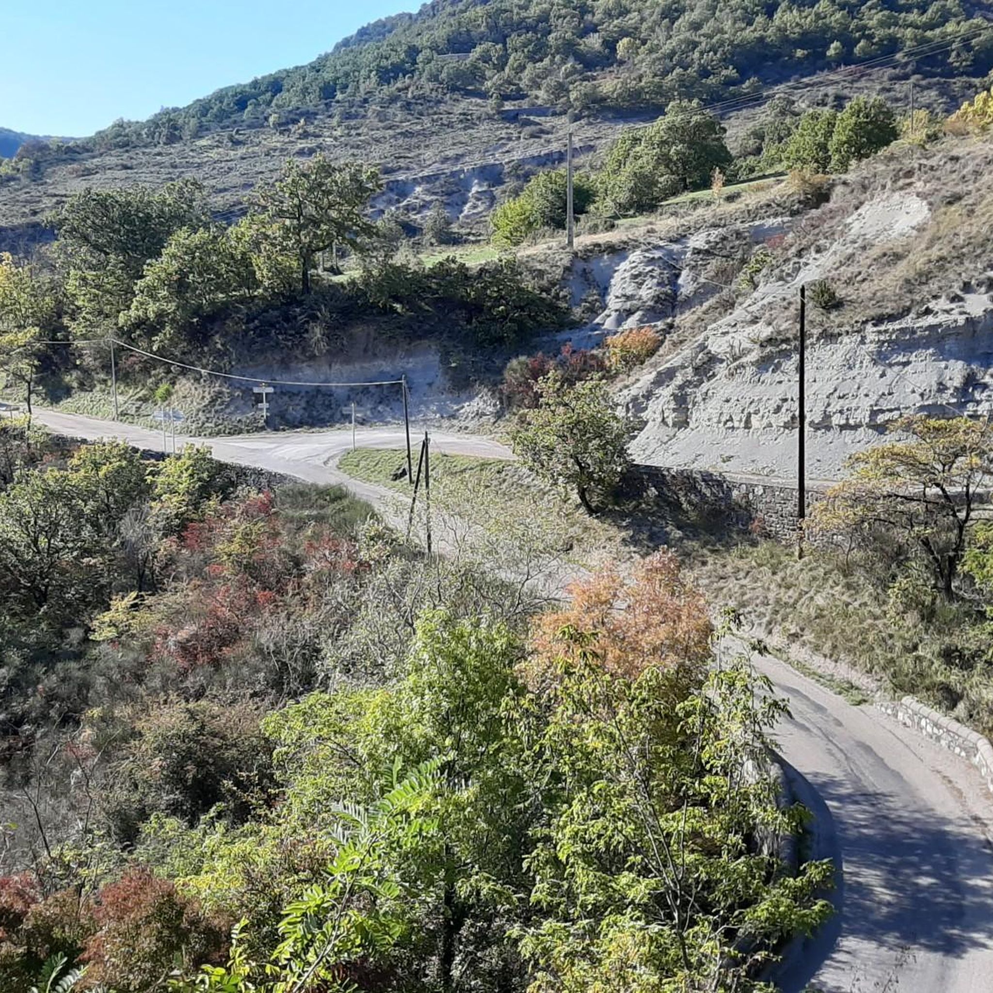
Jogging routes around Saint-Martin-Sur-Lavezon offer a diverse landscape for runners, characterized by varied terrain and significant elevation changes. The commune's altitude ranges from 119 to 702 meters, providing options from gentler paths to more challenging inclines. Extensive forests cover 45% of the area, offering shaded trails, while the Lavézon river crosses the commune, potentially providing waterside running opportunities. This varied topography, including hills and crags, ensures a range of running experiences for different fitness levels.
Best jogging routes around Saint-Martin-Sur-Lavezon
…Last updated: July 1, 2026
5.0
(1)
19
runners
9.43km
01:00
20m
20m
Moderate run. Good fitness required. Mostly paved surfaces. Suitable for all skill levels.
2.0
(1)
15
runners
14.7km
01:50
390m
390m
Hard run. Very good fitness required. Mostly paved surfaces. Suitable for all skill levels.

Sign up for free
2.0
(1)
15
runners
11.9km
01:33
350m
350m
Hard run. Very good fitness required. Mostly paved surfaces. Suitable for all skill levels.
9
runners
11.1km
01:24
330m
330m
Hard run. Very good fitness required. Mostly paved surfaces. Suitable for all skill levels.
11
runners
13.3km
01:58
580m
580m
Hard run. Very good fitness required. Mostly paved surfaces. Suitable for all skill levels.
Get access to more routes and recommendations from other explorers.
Sign up for free
Already have an account?
Our route recommendations are based on thousands of hikes, rides, and runs completed by other people on komoot.
Start today with a free account
Your next adventure awaits.
Login or Signup

Frequently Asked Questions
How many running routes are available in Saint-Martin-Sur-Lavezon?
There are nearly 260 running routes around Saint-Martin-Sur-Lavezon recorded on komoot. This includes a wide variety of trails, with 11 easy, 165 moderate, and 83 difficult options, ensuring something for every fitness level.
What kind of terrain can I expect on jogging trails in Saint-Martin-Sur-Lavezon?
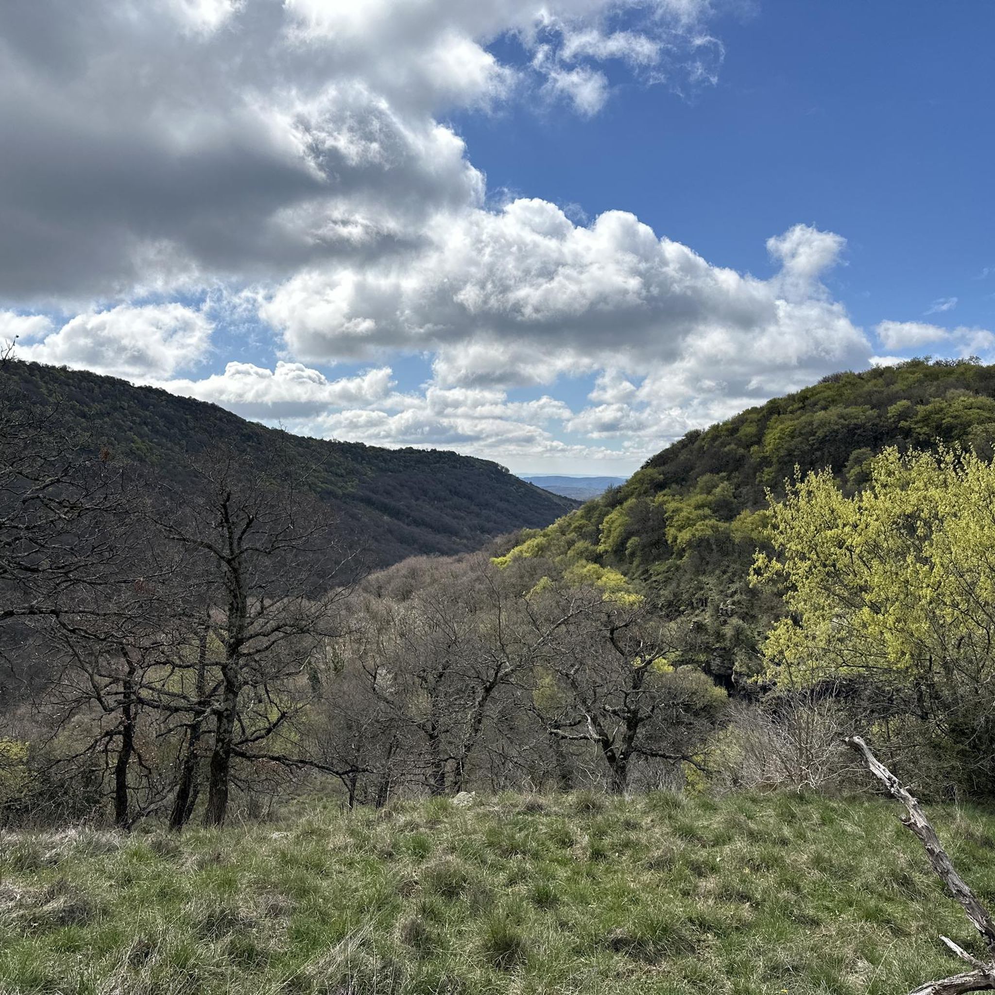
Jogging routes in Saint-Martin-Sur-Lavezon feature a diverse and varied terrain. The region's altitude ranges significantly from 119 to 702 meters, offering paths from gentler, flatter sections to more challenging inclines. You'll find extensive forests covering 45% of the area, providing shaded trails, alongside natural shrubby environments and grasslands. The landscape is characterized by hills, peaks, and crags, promising picturesque and undulating routes.
Are there any easy running routes suitable for beginners or a relaxed jog?
Yes, Saint-Martin-Sur-Lavezon offers 11 easy running routes perfect for beginners or those seeking a more relaxed pace. These trails typically have minimal elevation changes and are ideal for enjoying the scenery without strenuous effort. While specific easy routes aren't highlighted in the intro, you can explore the full selection on komoot to find one that suits you.
Can I find running routes with scenic viewpoints in the area?
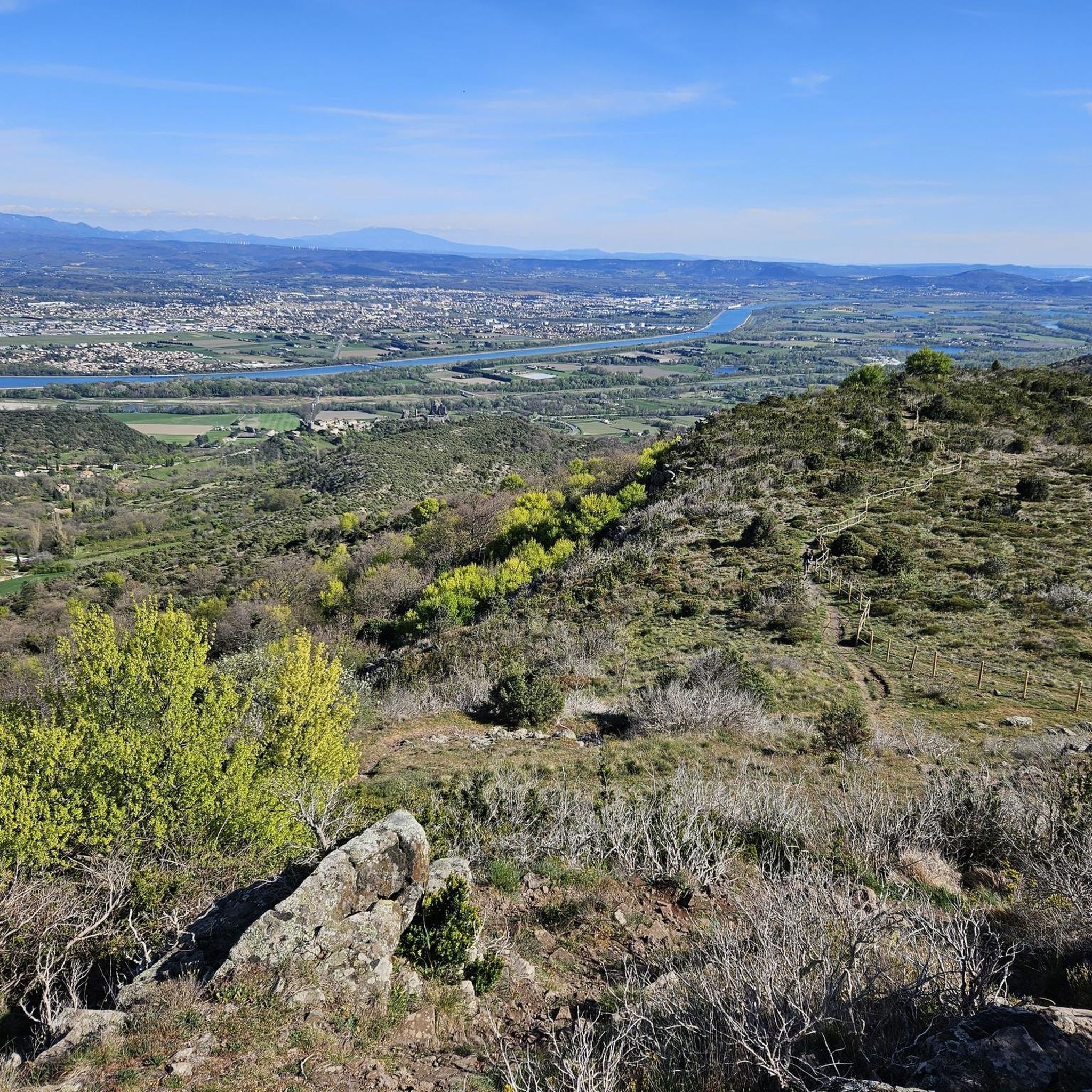
Absolutely. The region's varied topography, with its hills and crags, naturally lends itself to routes with expansive views. For example, the Point de vue loop from Saint-Bauzile is a challenging 14.7 km route specifically known for offering breathtaking panoramas. Another great option is the Point de vue loop from Saint-Vincent-de-Barrès, which also provides excellent vistas.
Are there any historical or cultural landmarks I can see while running?
Yes, the area around Saint-Martin-Sur-Lavezon is rich in history. You can incorporate sights like the medieval village of Rochemaure, with its 12th-century castle and 13th-century chapel, into your longer runs. Other notable landmarks include the Adhémar Castle, La Roche Castle, and Rochemaure Castle. The hamlets themselves, often built with traditional basalt stone, offer charming 'Village Secrets' to discover.
Are there any greenways or paved paths suitable for running?
Yes, the Payre Greenway is an excellent option for runners looking for a smooth, accessible, and entirely asphalted path. This greenway repurposes an old railway line and features interesting engineering structures like tunnels and viaducts, making for a unique running experience. It also connects to the ViaRhôna, offering further possibilities.
What do other runners say about the trails in Saint-Martin-Sur-Lavezon?
The running routes in Saint-Martin-Sur-Lavezon are highly rated by the komoot community, with an average score of 4.3 stars from over 50 reviews. More than 3400 runners have used komoot to explore the region's varied terrain, often praising the diverse landscapes, from quiet woodlands to challenging inclines, and the scenic beauty of the Ardèche mountains.
Are there any circular running routes available?
Yes, many of the running routes in Saint-Martin-Sur-Lavezon are designed as loops, allowing you to start and finish in the same location. Examples include the popular Running loop from Meysse, the challenging Running loop from Saint-Bauzile, and the Château de Pampelonne loop from Saint-Martin-l'Inférieur.
What is the best time of year for jogging in Saint-Martin-Sur-Lavezon?
The region's extensive forests provide abundant shaded paths, making it pleasant for jogging even during warmer months. However, the varied terrain and picturesque trails are enjoyable across multiple seasons. Spring and autumn generally offer milder temperatures and beautiful natural colors, while summer provides refreshing natural settings. Winter jogging is also possible, though conditions may vary with elevation.
Are there any unique natural features to look out for on a run?
Beyond the diverse forests and varied topography, the commune is crossed by the Lavézon river, which descends from the basaltic plateau of Coiron. While not explicitly detailed as a jogging path, riverbanks often provide pleasant waterside running opportunities. The region's 'atypical geology and reliefs' also mean you'll encounter unique rock formations and landscapes shaped by ancient volcanoes, such as the one near the medieval village of Rochemaure.
Can I find routes that combine running with other activities, like seeing a unique bridge?
Yes, for those seeking a unique and adventurous element, the Rochemaure Himalayan suspension bridge is a notable highlight. While caution is advised due to potential wind, it adds an exciting feature to the ViaRhôna route, which offers possibilities for cycling and potentially running, allowing you to combine your jog with a memorable sight.
What is the typical duration and distance of running routes in this area?
The running routes around Saint-Martin-Sur-Lavezon vary significantly in duration and distance to suit different preferences. For instance, the Running loop from Meysse is a moderate 9.4 km trail that typically takes about 1 hour. For a longer, more challenging run, the Point de vue loop from Saint-Bauzile covers 14.7 km and can take around 1 hour 49 minutes. You'll find options ranging from shorter, easier jogs to longer, more demanding runs.
Most popular routes around Saint-Martin-Sur-Lavezon
Most popular attractions around Saint-Martin-Sur-Lavezon

Get inspired with the komoot mobile app


Explore more
Browse the best Running Trails & Routes in other regions.
