The best running trails around Känerkinden
4.5
(181)
5,100
runners
243
runs
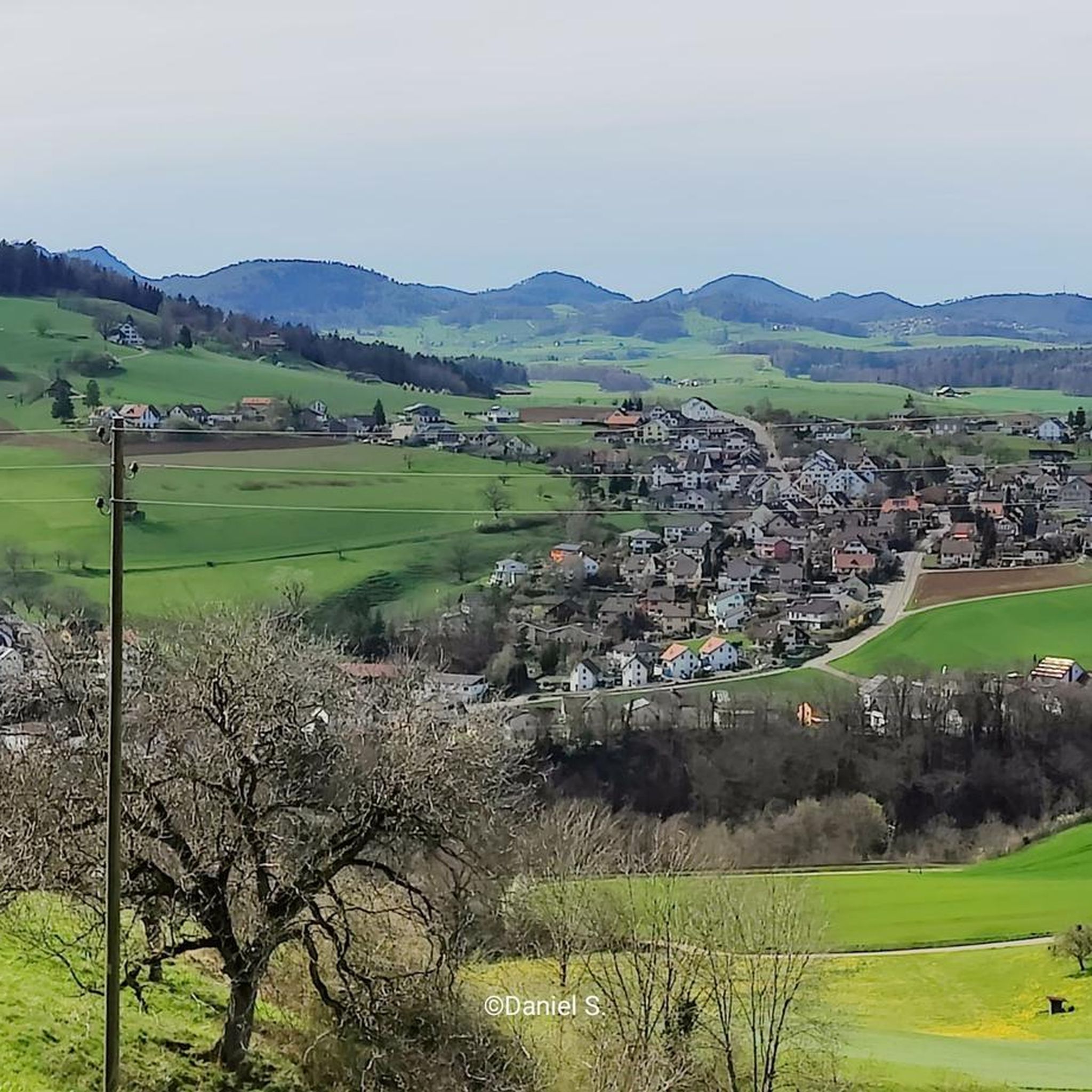
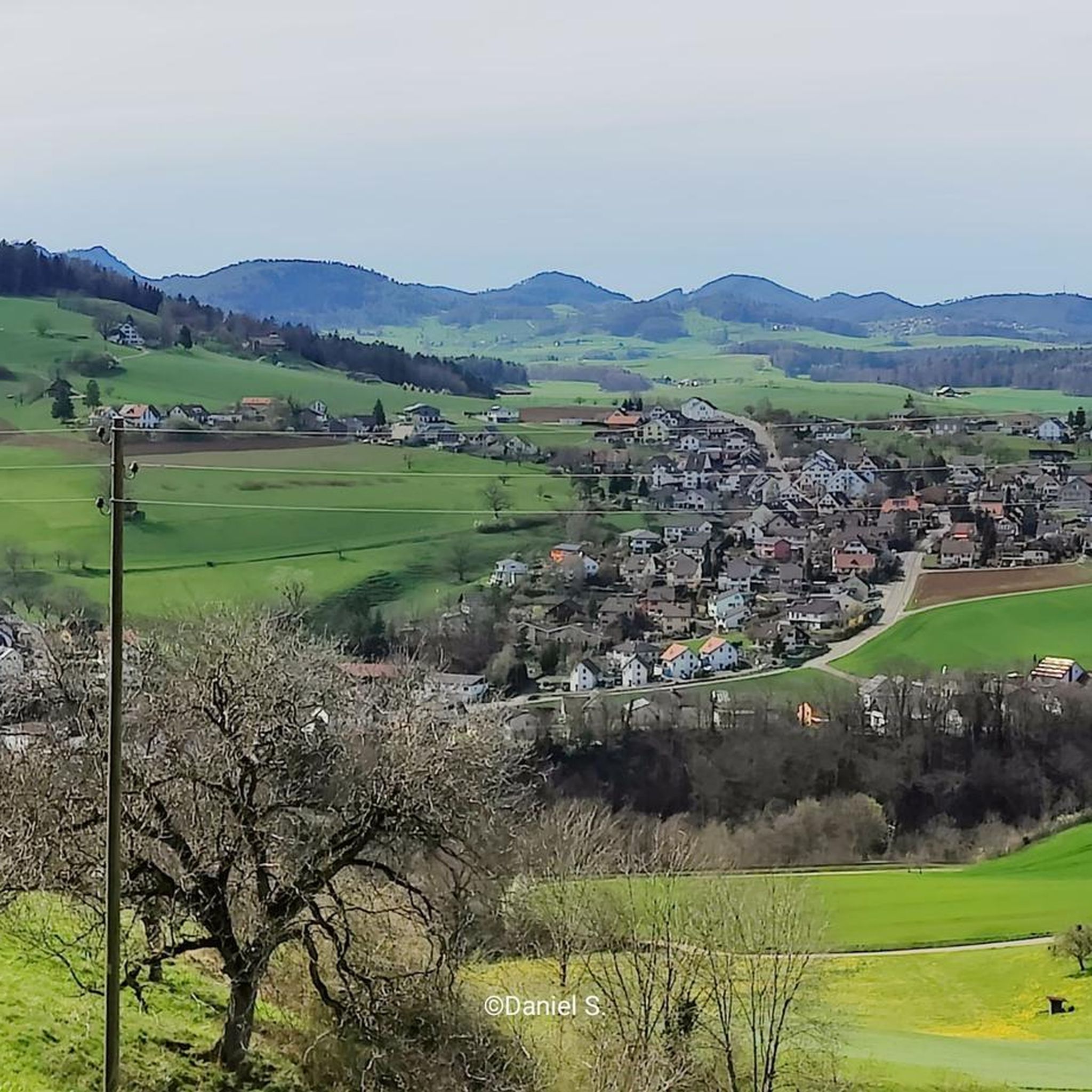
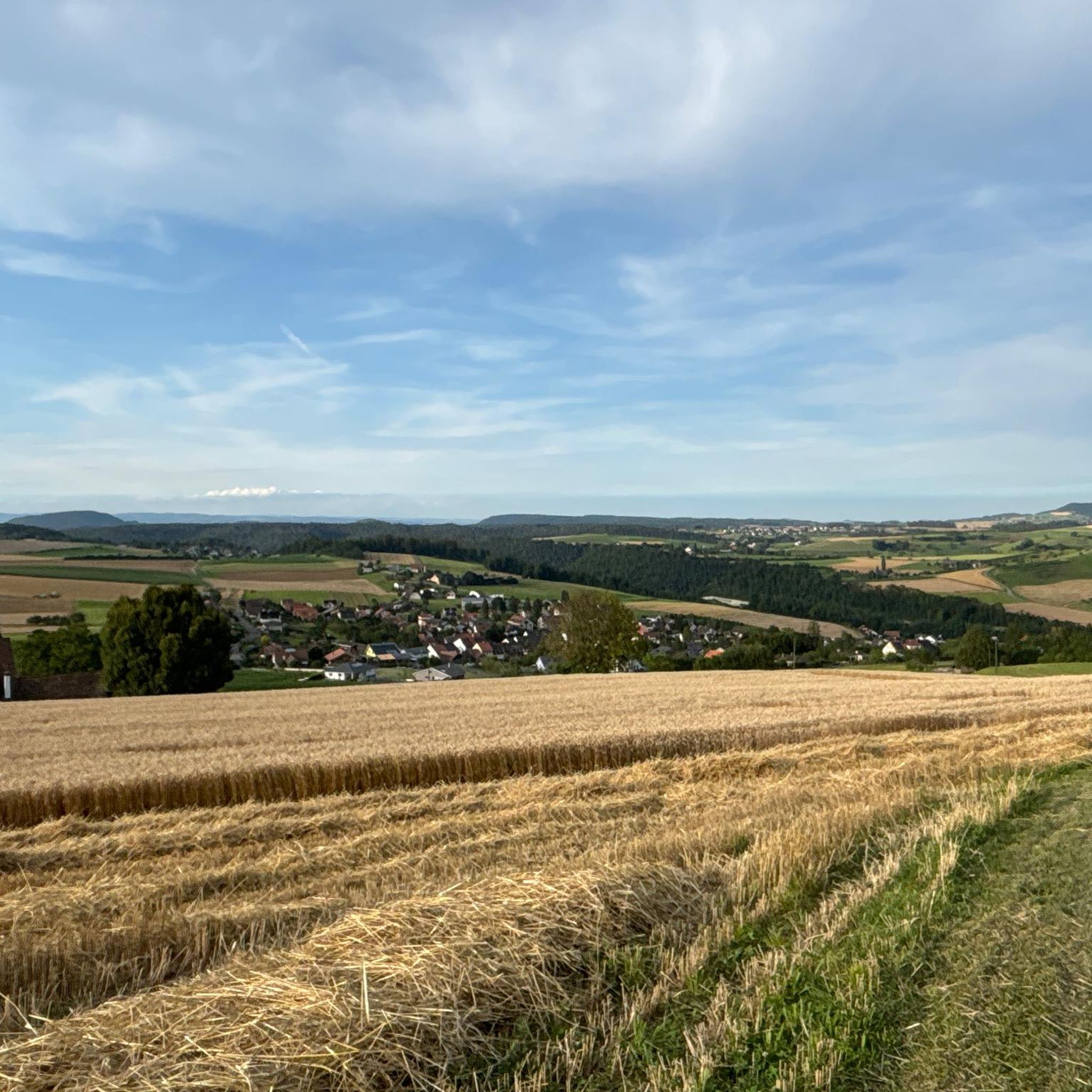
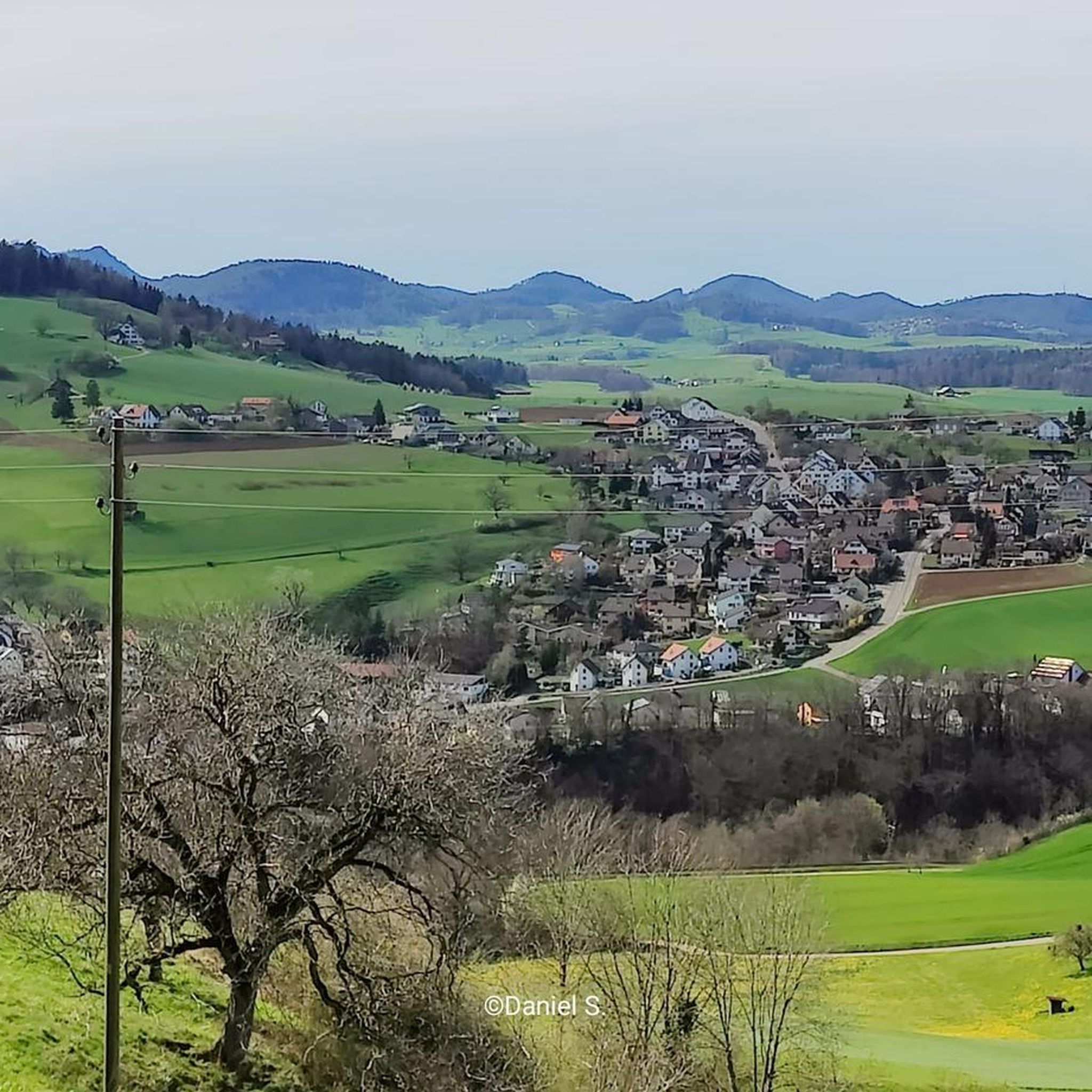
Jogging routes around Känerkinden traverse the diverse and scenic Baselbieter countryside. The region is characterized by green hills, forests, and the folded mountains of the Faltenjura, offering varied terrain suitable for different levels of fitness. This landscape provides both challenging inclines and more level paths for runners.
Best jogging routes around Känerkinden
- The most popular jogging route is Wisenberg Observation Tower – Wisenberg Observation Tower loop from Buckten, an 8.6 miles (13.9 km) difficult trail that takes 1 hour…
Last updated: June 27, 2026
5
runners
13.9km
01:41
530m
530m
Hard run. Very good fitness required. Mostly paved surfaces. Suitable for all skill levels.
6
runners
18.5km
02:01
260m
260m
Hard run. Very good fitness required. Sure-footedness, sturdy shoes and alpine experience required.

Sign up for free
7
runners
10.1km
01:05
150m
150m
Moderate run. Good fitness required. Mostly paved surfaces. Suitable for all skill levels.
5.0
(1)
5
runners
7.22km
00:47
130m
130m
Moderate run. Good fitness required. Mostly paved surfaces. Suitable for all skill levels.
5.0
(1)
6
runners
10.1km
01:15
430m
430m
Hard run. Very good fitness required. Mostly paved surfaces. Suitable for all skill levels.
Get access to more routes and recommendations from other explorers.
Sign up for free
Already have an account?
Our route recommendations are based on thousands of hikes, rides, and runs completed by other people on komoot.
Start today with a free account
Your next adventure awaits.
Login or Signup
Tips from the Community

The fountain in front of the restaurant contains refreshing spring water!
0
0


Small autumn market in October, great terrace with a view
0
0

A beautiful place that, in addition to many beautiful rest areas, signposted Indian trails, also has wonderful wild orchids to offer. Please treat this special place with due care.
1
0
There are very fine desserts here ;-)
2
0
Worth a hike at any time of year. If you don't want to stop off in Tüüfels-Chuchi, you can find fine cream slices in Bad Ramsach.
1
0
Not just a restaurant, also a hotel: https://www.badramsach.ch/de
0
0
Since the Wiesenberg is in the forest, this observation tower makes sense. It takes hikers above the treetops and allows a 360-degree panorama. There are panorama boards. The climb is worth it.
5
0
Frequently Asked Questions
What kind of terrain can I expect on the running trails around Känerkinden?
The running trails in the Känerkinden area traverse the diverse Baselbieter countryside. You'll encounter a mix of green hills, dense forests, and the unique folded mountains of the Faltenjura. This varied topography offers both challenging inclines and more level paths, catering to different fitness levels.
Are there running routes suitable for beginners or those looking for an easier jog?
Yes, while many routes offer a challenge, there are options for all abilities. Out of nearly 250 running routes, 4 are classified as easy and 164 as moderate. For a moderate option, consider the Running loop from Diegten, which covers about 7.2 km with manageable elevation changes.
Can I find circular jogging routes in the Känerkinden area?
Absolutely. Many of the running routes around Känerkinden are designed as loops, allowing you to start and finish in the same location. Examples include the popular Wisenberg Observation Tower – Wisenberg Observation Tower loop from Buckten or the scenic Chirai Tour Oberbaselbiet loop from Wittinsburg.
Are there any scenic viewpoints or landmarks to discover while jogging?
Yes, the region offers beautiful vistas. The Wisenberg Observation Tower – Wisenberg Observation Tower loop from Buckten, for instance, provides excellent views from the Wisenberg Observation Tower. You'll also experience the picturesque Baselbieter countryside, known for its cherry trees, especially stunning when in bloom.
What natural features can I expect to see on the running paths?
The landscape around Känerkinden is rich in natural beauty. You'll jog through lush forests, over rolling green hills, and experience the unique geological formations of the Faltenjura. The region is also known for its charming cherry trees, and nearby areas feature tranquil streams and even waterfalls.
Are there any caves or waterfalls accessible from the jogging routes?
While jogging, you might find yourself near fascinating natural attractions. For example, the Wasserflue Waterfall and Bärenloch (Bear’s Hole) Cave is a notable highlight in the vicinity. Other caves like Bruderloch Cave and Chäsloch Cave are also nearby and can be explored.
Are the running trails around Känerkinden accessible by public transport?
Many routes in the region are accessible via public transport. For example, the Sommerau Railway Station – Chilpen Nature Reserve loop from Buckten starts near a railway station, making it convenient for those using trains. Känerkinden itself has bus connections, allowing access to various starting points for your run.
Is parking available near the starting points of the running trails?
Yes, for many of the running trails around Känerkinden, you can find parking options in or near the villages that serve as starting points. While specific parking lots aren't detailed for every route, local infrastructure generally supports car access to popular outdoor activity areas.
Are the running trails around Känerkinden suitable for families with children?
The varied terrain means there are options for families. While some routes are challenging, the numerous moderate and easy paths through forests and along streams can be enjoyable for families. Look for shorter, less strenuous loops that offer pleasant scenery without significant elevation gain.
Are the jogging routes in Känerkinden dog-friendly?
Generally, the outdoor trails in the Baselbieter countryside are welcoming to dogs, provided they are kept on a leash and owners clean up after them. It's always a good idea to check local signage for any specific restrictions, especially in nature reserves like the Chilpen Nature Reserve, which is part of the Sommerau Railway Station – Chilpen Nature Reserve loop from Buckten.
What do other runners enjoy the most about jogging in Känerkinden?
The running routes in Känerkinden are highly rated by the komoot community, with an average score of 4.5 stars from over 160 reviews. Runners often praise the diverse and scenic landscapes, the variety of terrain from rolling hills to forests, and the well-maintained paths that offer both challenging and relaxed running experiences.
What is the best time of year for running in Känerkinden?
The Baselbieter countryside is beautiful year-round. Spring offers the stunning sight of cherry blossoms, while summer provides shaded forest paths. Autumn brings vibrant foliage, and even mild winters can be suitable for running. Always check local weather conditions before heading out.
Most popular routes around Känerkinden
Most popular attractions around Känerkinden

Get inspired with the komoot mobile app


Explore more
Browse the best Running Trails & Routes in other regions.
