The best road cycling routes around Valuéjols
4.7
(67)
2,465
riders
188
rides
Road cycling around Valuéjols offers diverse terrain within the Cantal department, situated between the Auvergne Volcanoes and Aubrac Regional Natural Parks. The region is characterized by ancient volcanic landscapes, high plateaus, and deep river gorges, providing varied relief for cyclists. Many routes feature well-paved surfaces, though some challenging segments may be unpaved. This area provides a network of routes suitable for various fitness levels, from moderate rides through valleys to demanding climbs over mountain passes.
Best road cycling routes around…
Last updated: July 1, 2026
27
riders
52.0km
02:26
620m
620m
Moderate road ride. Good fitness required. Mostly well-paved surfaces and easy to ride.
27
riders
41.1km
01:50
340m
340m
Moderate road ride. Good fitness required. Some segments of this route may be unpaved and difficult to ride.

Sign up for free
16
riders
69.6km
03:35
1,150m
1,150m
Hard road ride. Very good fitness required. Mostly well-paved surfaces and easy to ride.
18
riders
87.0km
04:35
1,630m
1,630m
Hard road ride. Very good fitness required. Mostly well-paved surfaces and easy to ride.
5.0
(1)
9
riders
27.8km
01:13
250m
240m
Easy road ride. Great for any fitness level. Mostly well-paved surfaces and easy to ride.
Get access to more routes and recommendations from other explorers.
Sign up for free
Already have an account?
Our route recommendations are based on thousands of hikes, rides, and runs completed by other people on komoot.
Start today with a free account
Your next adventure awaits.
Login or Signup
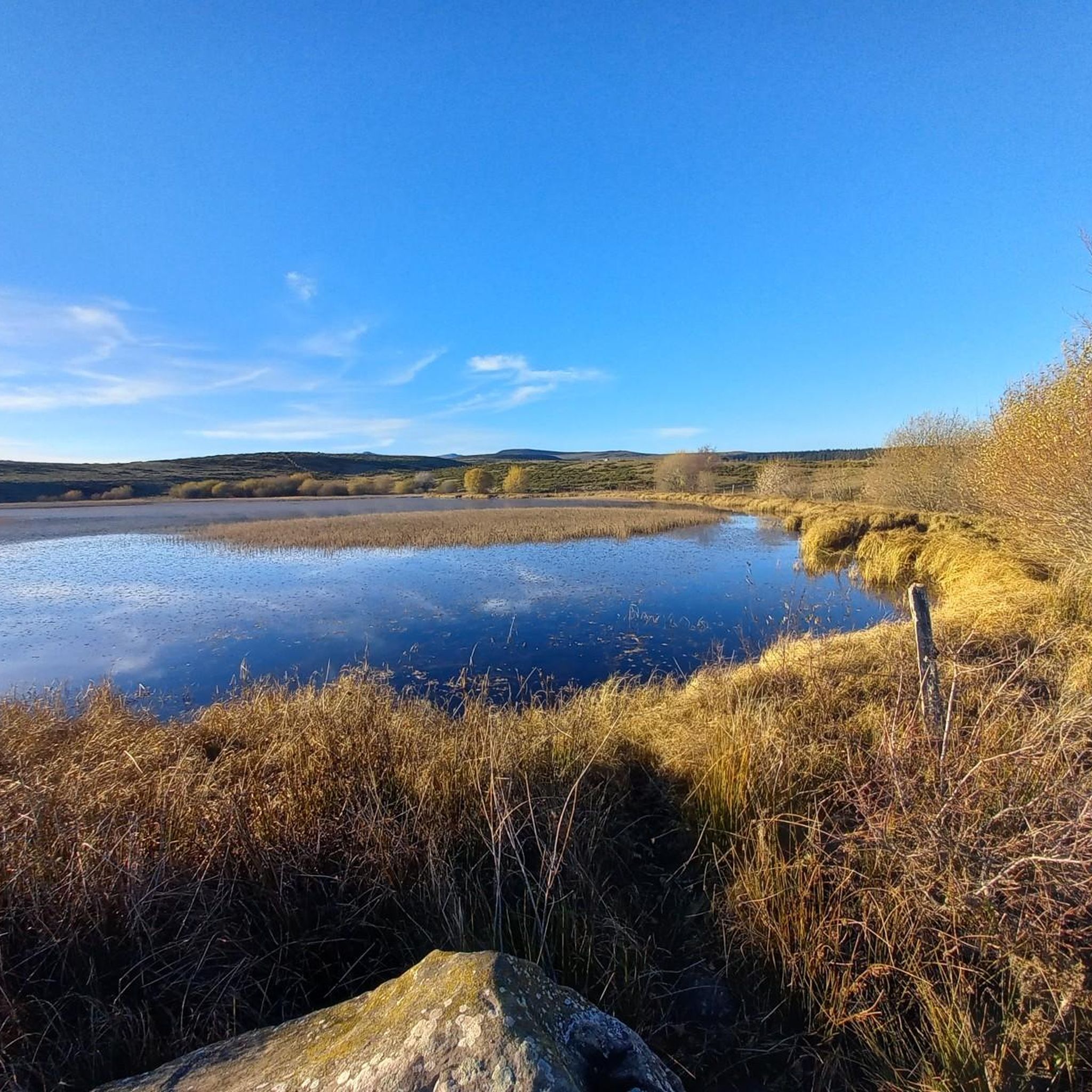
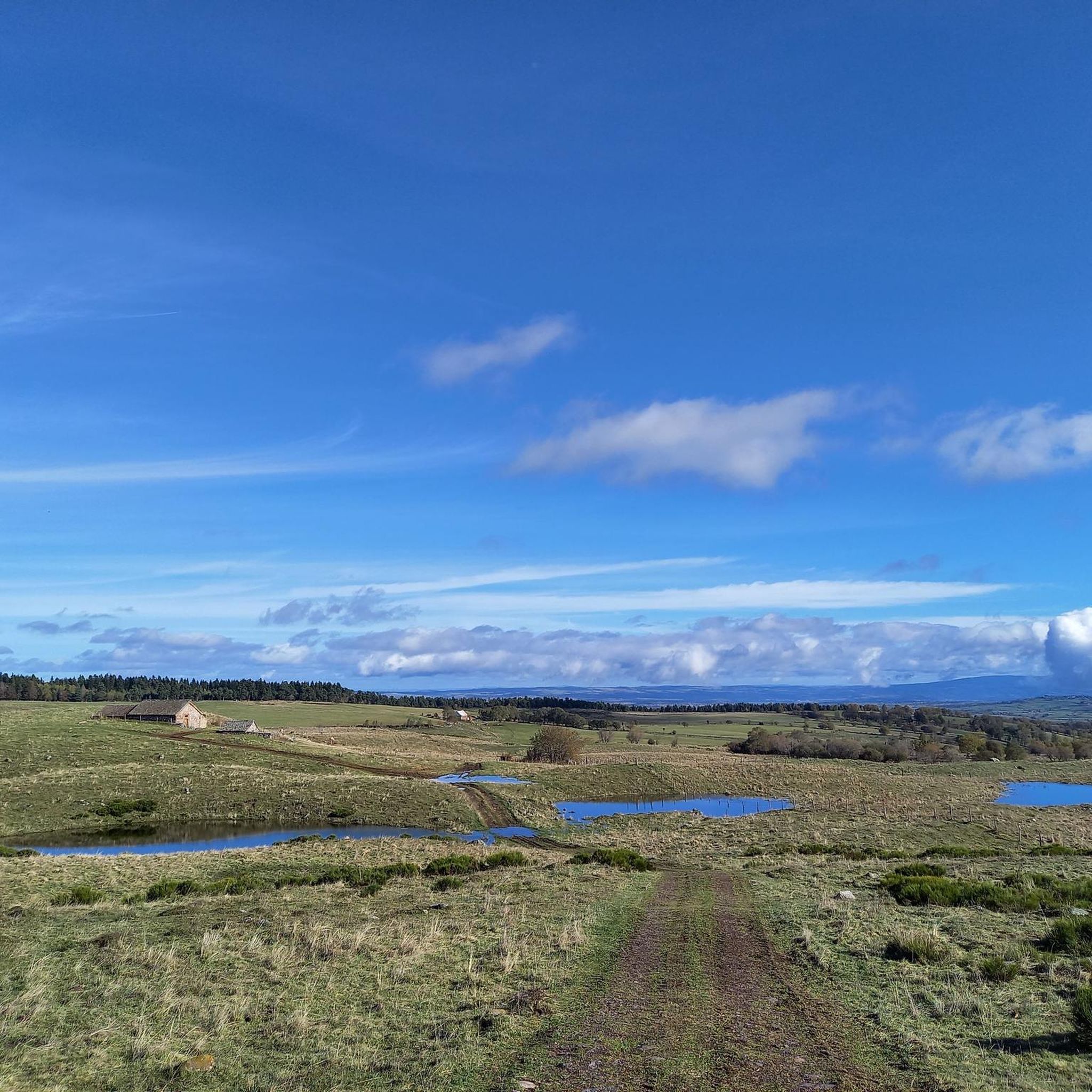
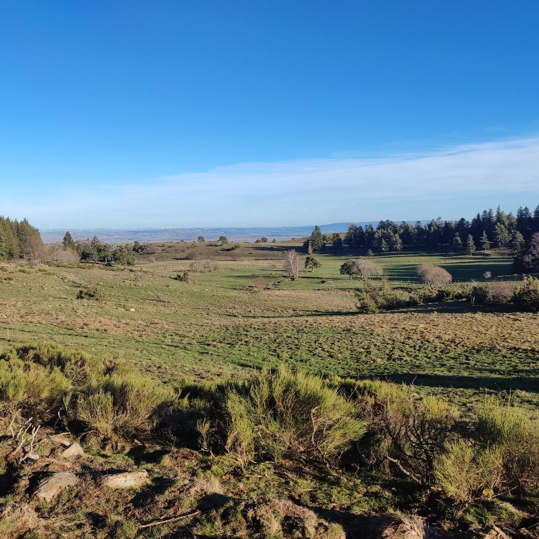
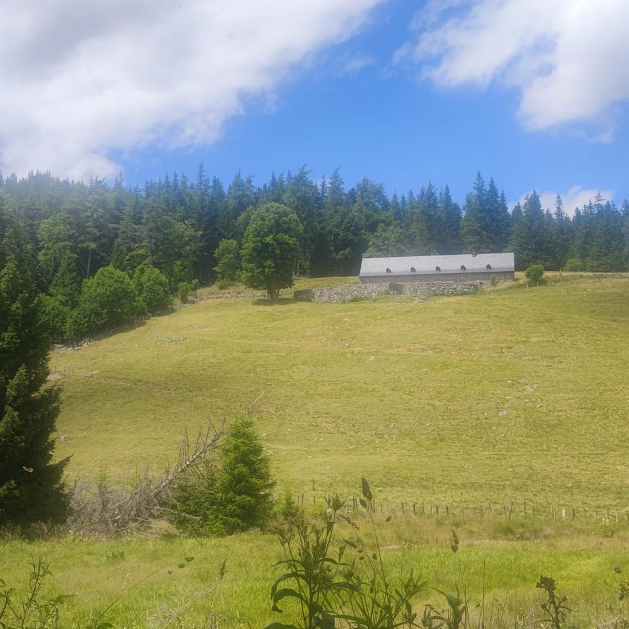
Tips from the Community

A beautiful, partly shady climb from Claux to the pass. Then the real challenge begins at Puy Mary.
0
0

The route takes you through incredibly beautiful scenery as you head up the valley.
1
0

By bike you can see this castle from different angles. It is worth the detour.
2
0
By bike you can see this castle from different angles. It is worth the detour.
1
0
This pass is rather easy if we compare it with what awaits us, the Puy Mary
1
0
A pretty medieval city to cross by bike
0
0
A pretty medieval city to cross by bike
0
0

At an altitude of 1,588 meters, the Pas de Peyrol is located between the Puy Mary and the Puy de la Tourte. It is known to be the highest road pass in the Massif Central and is worth it, because the last few kilometers have high percentages. There you can admire Puy Mary which peaks at an altitude of 1,783 metres. It is one of the peaks of the Cantal mountains. It is easily recognizable with its pyramidal silhouette.
1
0
Frequently Asked Questions
How many road cycling routes are available around Valuéjols?
There are over 160 road cycling routes around Valuéjols, offering a wide range of options for different skill levels and preferences. The komoot community has rated these routes highly, with an average score of 4.7 stars.
What kind of landscapes can I expect to see while road cycling in Valuéjols?
Valuéjols is nestled between the Auvergne Volcanoes and Aubrac Regional Natural Parks, so you'll encounter diverse landscapes. Expect ancient volcanic terrain, high plateaus, and deep river gorges. Routes often feature stunning views of the Cantal mountains and picturesque valleys like the Brezons Valley.
Are there routes suitable for families or beginners?
Yes, Valuéjols offers routes suitable for various fitness levels. While many routes involve significant climbs, there are 15 easy routes and 88 moderate routes available. For example, the Saint-Flour Medieval Town – Aubrac Cows loop from Ussel is a moderate option that features rolling hills through scenic agricultural landscapes.
What are the typical difficulty levels of road cycling routes in Valuéjols?
The routes around Valuéjols cater to a broad spectrum of cyclists. You'll find 15 easy routes, 88 moderate routes, and 63 difficult routes. The more challenging options often involve significant elevation gains and mountain passes like the Col de La Griffoul or the iconic Pas de Peyrol.
Are there any notable landmarks or attractions along the road cycling routes?
Absolutely. Many routes pass by significant natural and historical sites. You can cycle near the Plomb du Cantal, explore the medieval town of Murat, or even spot Sailhant Castle. The region is also known for its volcanic peaks like Venus' Nipple and Eagle's Beak.
Can I find routes that pass through historic villages?
Yes, several routes will take you through charming historic villages. The medieval towns of Murat and Saint-Flour are often featured on popular cycling loops. You might also encounter villages classified as 'Small Cities of Character®' or 'Most Beautiful Villages of France®' such as Salers.
What is the best time of year for road cycling in Valuéjols?
The best time for road cycling in Valuéjols is typically from late spring through early autumn (May to October). During these months, the weather is generally milder and more stable, making for pleasant riding conditions. Some higher passes may still have snow early in the season.
Are there any circular road cycling routes in Valuéjols?
Yes, the region offers numerous circular routes. For instance, the Ché water – Paulhac loop from Le Ché is a moderate 52 km circular ride. Another challenging option is the Col de Prat de Bouc – View of the Plomb du Cantal loop from Albepierre, which covers 50.6 km through volcanic landscapes.
What do other road cyclists enjoy the most about road cycling in Valuéjols?
The area is highly rated by the komoot community, with an average score of 4.7 stars from over 40 reviews. Cyclists often praise the stunning volcanic landscapes, the challenging yet rewarding climbs over mountain passes, and the well-paved surfaces on many routes. The variety of terrain, from high plateaus to river gorges, is also frequently highlighted.
Are there routes that are part of the 'Romain Bardet Experience'?
Yes, Valuéjols is close to routes that are part of the 'Romain Bardet Experience.' These are a series of four cycle-touring loops designed by the professional French racing cyclist, ranging from 100 to 143 kilometers. They navigate through the Truyère and Rhue gorges, ascend Europe's largest volcano, and conquer passes like Entremont, Néronne, and Pas de Peyrol.
Are there any routes with significant climbs or mountain passes?
Definitely. The Valuéjols area is known for its challenging climbs. Notable passes include the Col de Prat de Bouc and the iconic Pas de Peyrol, which is the highest road pass in the Massif Central. The Murat — Medieval Village – Pas de Peyrol and Puy Mary loop from Ussel is a difficult 87 km ride with over 1600m of elevation gain.
Are there cafes or places to stop for refreshments along the routes?
Given that many routes pass through or near picturesque villages and towns like Murat and Saint-Flour, you will likely find opportunities for refreshments. These settlements often have local cafes, bakeries, or small shops where cyclists can take a break and refuel.
Most popular attractions around Valuéjols

Get inspired with the komoot mobile app


Explore more
Browse the best Road cycling routes in other regions.
