The best running trails around Muotathal
4.5
(137)
5,945
runners
292
runs
Jogging around Muotathal offers a diverse range of routes through a mountain-encircled valley in the canton of Schwyz, Switzerland. The region features an extensive network of trails winding through alpine meadows, dense forests, and along the Muota river. Runners can explore varied terrain, from gentle paths to more challenging ascents in unique natural areas.
Best jogging routes around Muotathal
- The most popular jogging route is Viewpoint in Schwyz Mountains loop from Sahli Seilbahnstation, a 12.9 miles (20.8 km) trail…
Last updated: July 7, 2026
32
runners
7.05km
00:48
180m
180m
Moderate run. Good fitness required. Mostly paved surfaces. Suitable for all skill levels.
18
runners
Hard run. Very good fitness required. Sure-footedness, sturdy shoes and alpine experience required.

Sign up for free
17
runners
Hard run. Good fitness required. Sure-footedness, sturdy shoes and alpine experience required.
11
runners
22.7km
04:10
1,590m
1,590m
Hard run. Very good fitness required. Sure-footedness, sturdy shoes and alpine experience required.
11
runners
10.6km
01:16
320m
320m
Hard run. Very good fitness required. Mostly paved surfaces. Suitable for all skill levels.
Get access to more routes and recommendations from other explorers.
Sign up for free
Already have an account?
Our route recommendations are based on thousands of hikes, rides, and runs completed by other people on komoot.
Start today with a free account
Your next adventure awaits.
Login or Signup
Popular around Muotathal
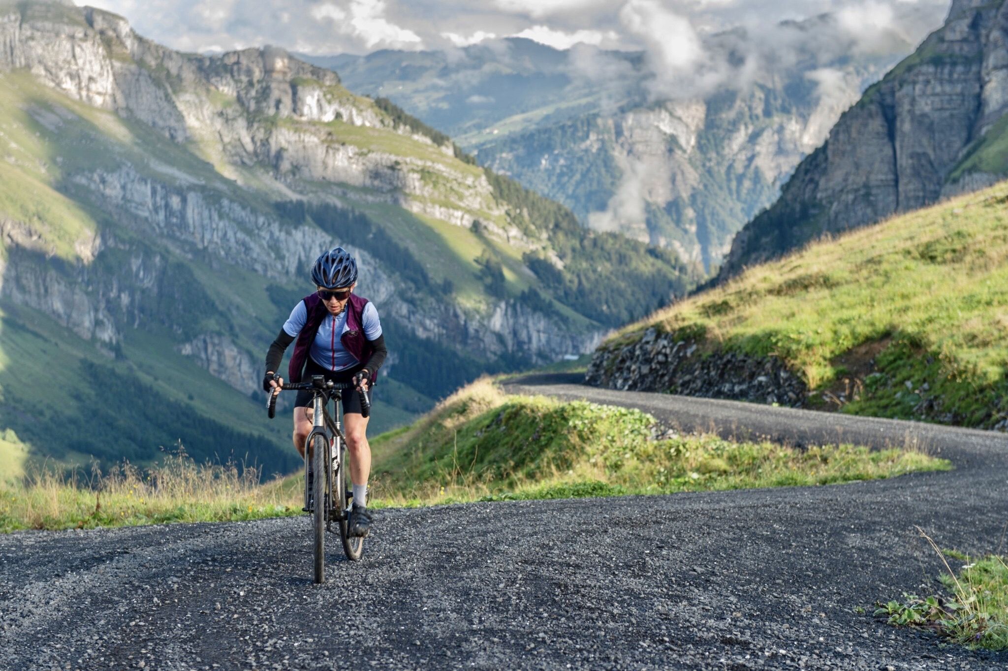
A summer of backdoor adventures in the Voralpen
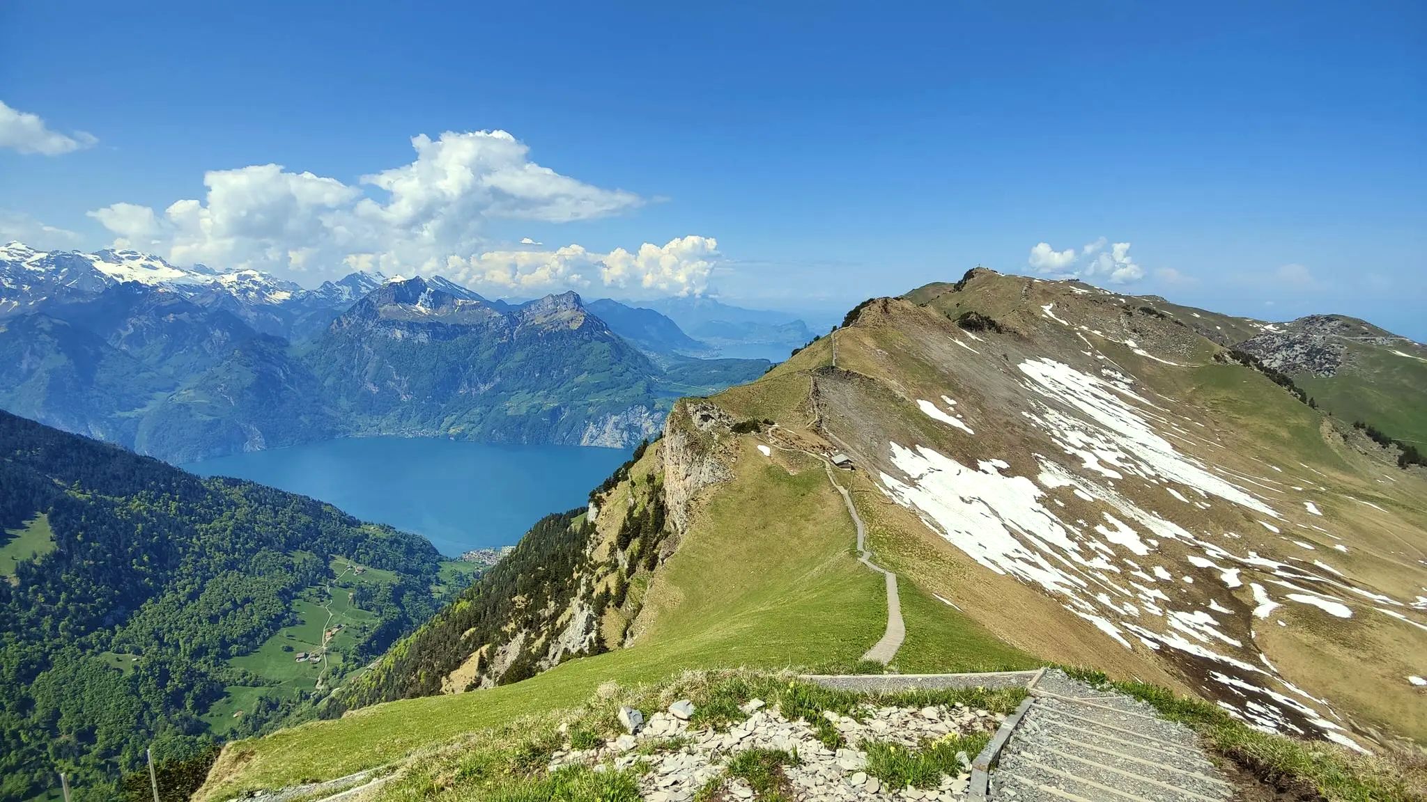
Spectacular panoramas – hiking in the Canton of Schwyz

On the Tell Trail over the Big 6 of Central Switzerland
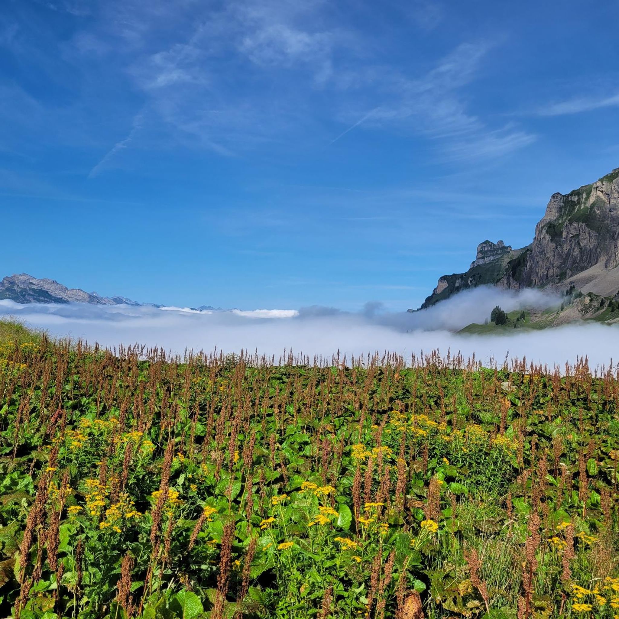
Hiking around Muotathal
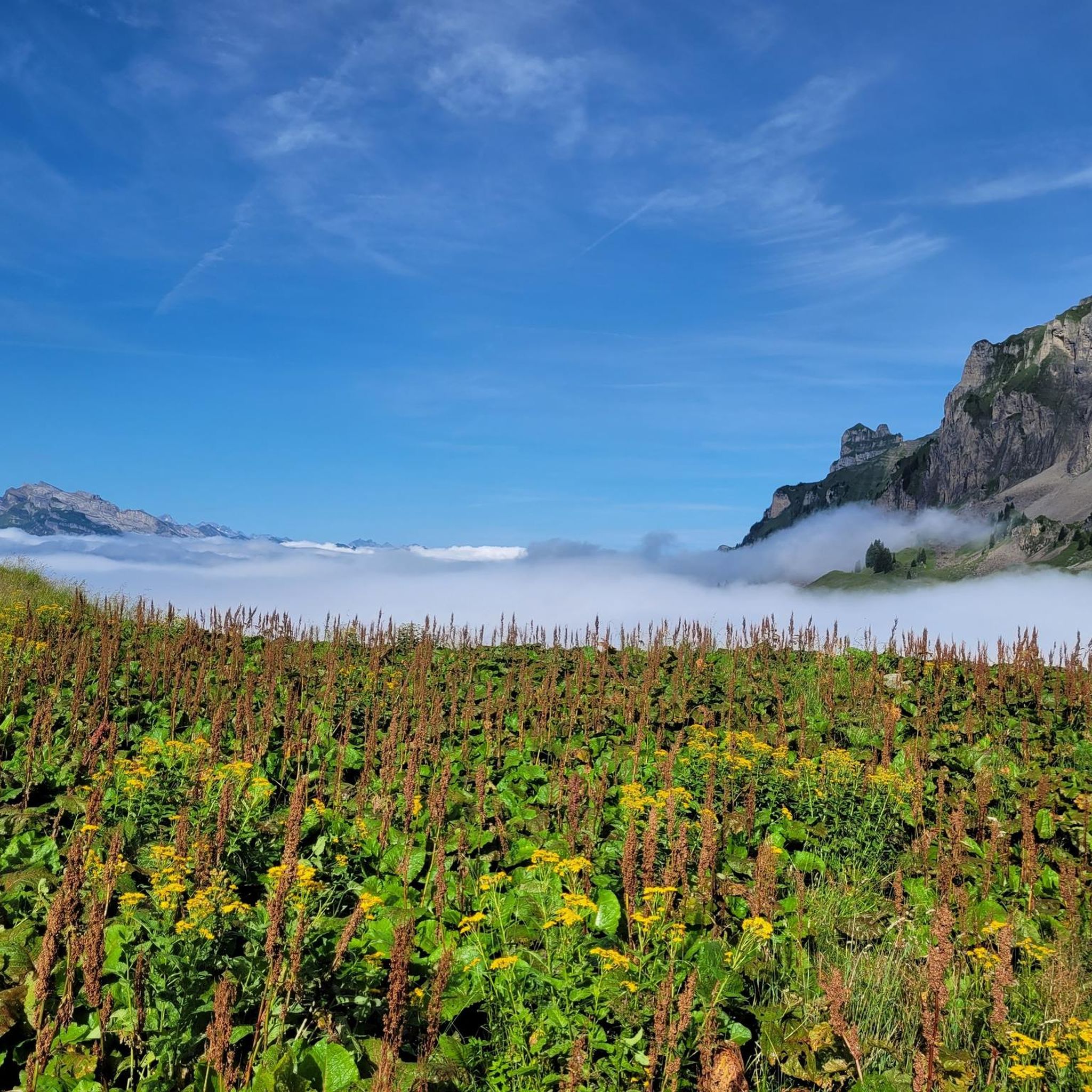
Road Cycling Routes around Muotathal
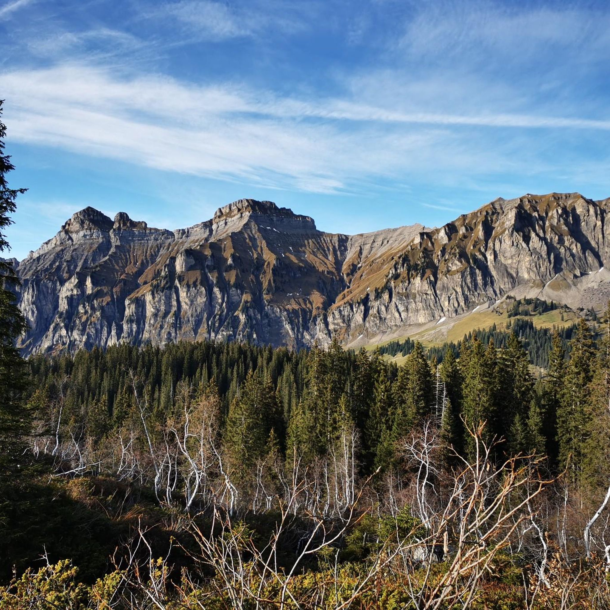
MTB Trails around Muotathal
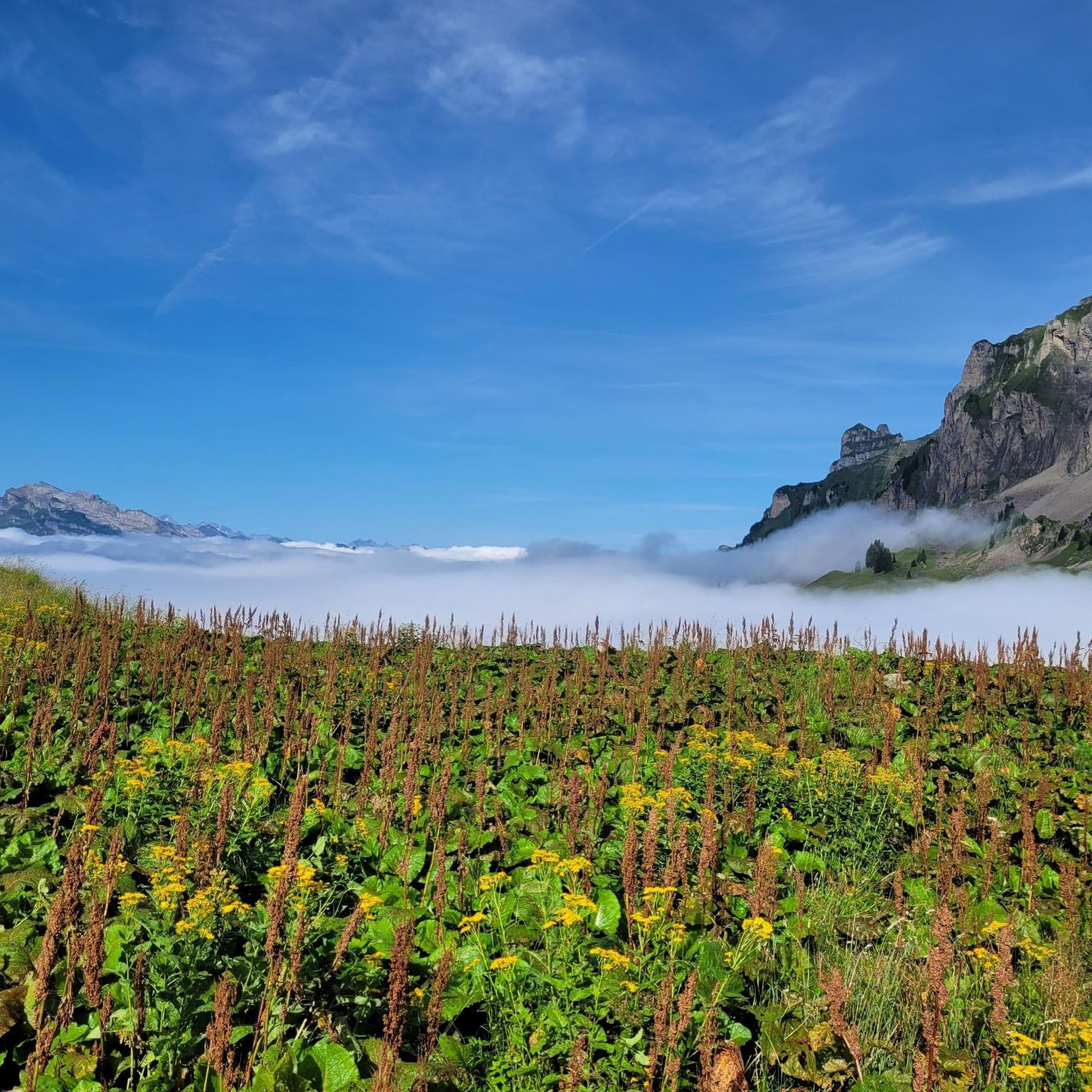
Cycling around Muotathal
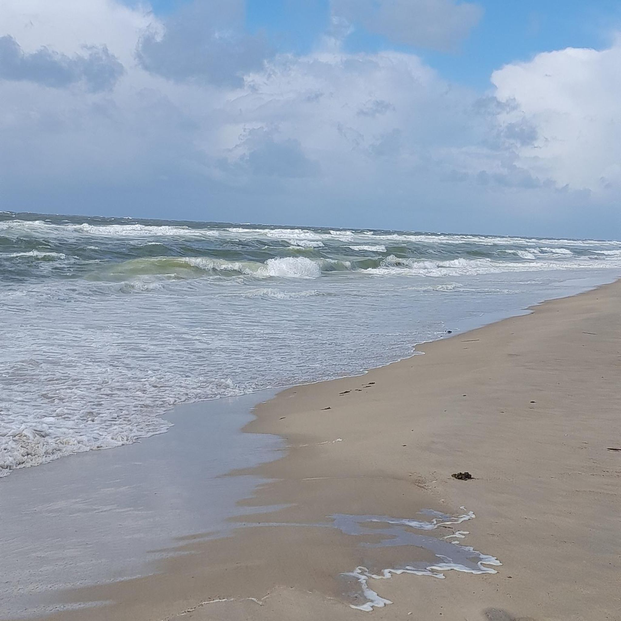
Gravel biking around Muotathal
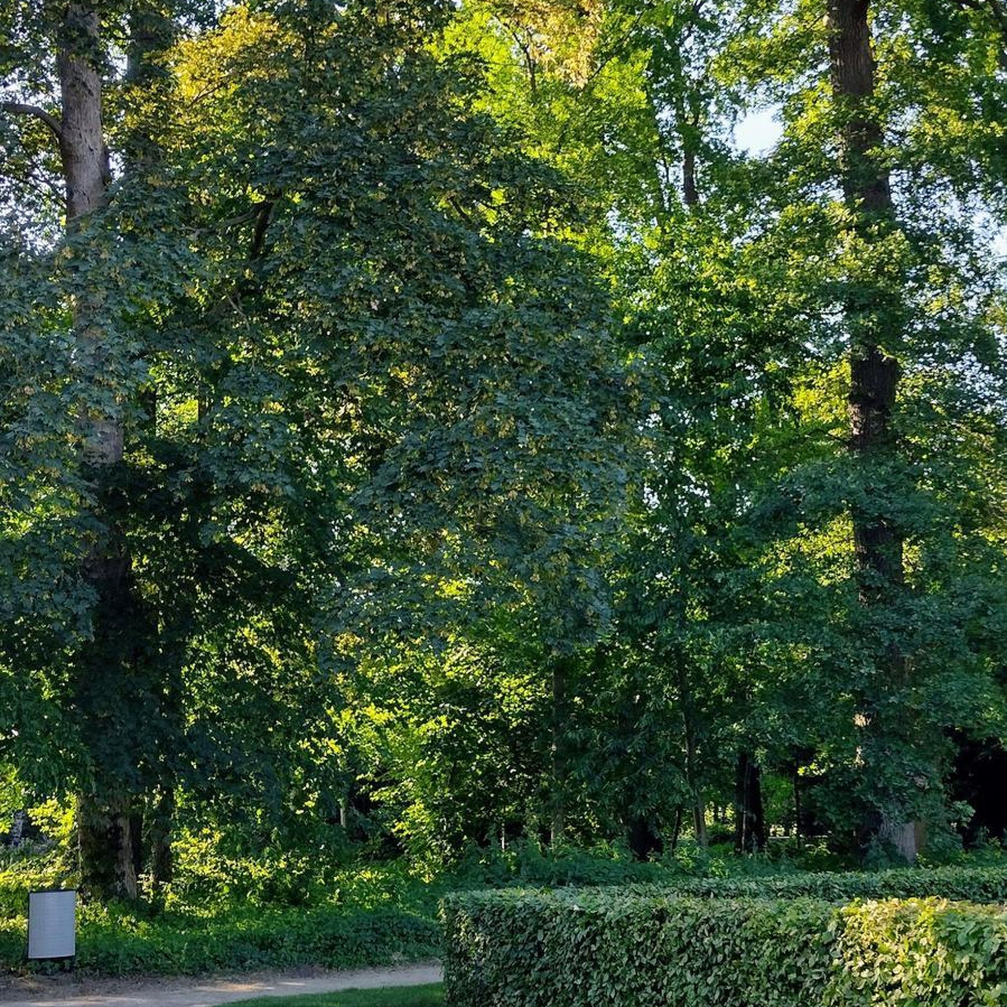
Mountain Hikes around Muotathal


Tips from the Community

Three types of alpine cheese are produced here. This way, you can enjoy delicious cheese sandwiches directly on the Fronalpweg with a great view on the sun terrace.
0
0
On the Fronalpstock, one of the most beautiful views of Lake Lucerne awaits you. But the panoramic view of the surrounding mountains is also fantastic. With the ridge trail to Klingenstock and the family-friendly Fronalpweg, two exciting hiking trails start from here.
0
0

At the foot of the Fronalpstock is the charming restaurant "zum Gadä". From the cozy terrace, you have a great view of the car-free mountain village. The Klingenstock summit is to your right, the over 300-year-old Stoos chapel Maria Hilf with the two Mythen in the background to your left. A great place to stop before or after a hike!
0
0

A very clear, small lake with a separate water play and swimming area, ideal for families. Picnic areas are available on-site and are easily accessible even with strollers.
0
0

A beautiful panoramic trail with lots of people. I would recommend avoiding this on weekends and hiking the ridge trail from Klingenstock so you can go with the flow. Otherwise, it's no fun up there. But it's definitely worth it!
3
0

The small chapel Maria Hilf stands somewhat on the edge of the small village of Stoos, next to the valley station of the Fronalpstockbahn. The two Mythen are visible in the background. This chapel is characterized by its unique architecture, as it consists of a combination of traditional and modern materials. Its design is a mixture of wooden trusses and zinc plates, and its west-facing viewpoint offers a magnificent panoramic view of the Swiss Alps. Inside the chapel, artworks by local artists are exhibited.
1
0

Between the trees the water flows rapidly into the depths.
1
0

The trees are reflected in the water
0
0
Frequently Asked Questions
What kind of running terrain can I expect in Muotathal?
Muotathal offers a diverse range of running terrain, from gentle paths along the Muota river to more challenging ascents through alpine meadows and dense forests. The region is known for its wild beauty and varied landscapes, including unique karst formations and the extensive Bödmeren Primeval Forest. While there is one easy route, the majority of the trails are rated as difficult, providing a good challenge for experienced runners.
Are there any easy jogging routes suitable for beginners in Muotathal?
Yes, for those looking for an easier run, the Muota Trail 2 🚵♂️😊🥇 – Vorder Brügg loop from Illgau is an excellent option. This route covers 3.8 km (2.4 miles) with minimal elevation gain, making it ideal for a relaxed jog or an after-work run.
What are some of the most scenic natural features I can see while running in Muotathal?
Muotathal is rich in natural beauty. You can expect to run past the rushing white waters of the Muota river and spray-infused waterfalls. The region also features unique karst landscapes, such as those found around Silberen and Twärenen, and the vast Bödmeren Primeval Forest. For specific waterfalls, consider exploring highlights like the Berglistüber Waterfall or the Waterfall at Lake Klöntal.
Are there any circular running routes in the Muotathal area?
Yes, many of the running routes in Muotathal are designed as loops, allowing you to start and end at the same point. Examples include the challenging Viewpoint in Schwyz Mountains loop from Sahli Seilbahnstation, the Silberen / Twärenen – Pragelpass loop from Pragel Pass, and the Seenalperseeli loop from Wasserbergfirst.
What do other runners say about the trails in Muotathal?
The running routes in Muotathal are highly rated by the komoot community, with an average score of 4.5 stars from over 50 reviews. Runners often praise the impressive scenery, the tranquil ambiance, and the variety of terrain that makes each run a unique experience in this unspoiled natural environment.
Can I bring my dog on the running trails in Muotathal?
Muotathal's natural trails are generally welcoming for dogs. However, it's always recommended to keep your dog on a leash, especially in alpine meadows where livestock may be present, or in protected natural areas. Always ensure your dog is well-behaved and that you clean up after them to preserve the pristine environment.
Are there any family-friendly running options in Muotathal?
While many routes in Muotathal are rated as difficult, the region does offer paths suitable for families, particularly those looking for a more relaxed experience. The easier sections along the Muota river or around areas like Glattalp in summer can be enjoyable for families who want to combine a gentle jog with exploring nature.
What is the best time of year for running in Muotathal?
The best time for running in Muotathal is typically from late spring to early autumn. During these months, the alpine meadows are lush, and the trails are generally clear of snow. While Glattalp is known as Switzerland's coldest uninhabited place in winter, the summer transforms it into a beautiful alpine area, perfect for outdoor activities. Always check local conditions, especially for higher altitude trails, as weather can change rapidly.
How accessible are the running routes by public transport or car parking?
Muotathal is accessible, though specific parking and public transport options vary by trailhead. Many routes, like the Viewpoint in Schwyz Mountains loop, start from locations like Sahli Seilbahnstation, which may have parking or public transport connections. For routes starting from Pragel Pass, access might be more seasonal or require specific transport arrangements. It's advisable to check the starting point of your chosen route for detailed access information.
Are there any long-distance running trails for advanced runners?
Yes, Muotathal offers challenging long-distance options for advanced runners. For instance, the Viewpoint in Schwyz Mountains loop from Sahli Seilbahnstation is a demanding 20.8 km (12.9 miles) trail with over 1200 meters of elevation gain, offering expansive views and a significant workout. The region also features more challenging trail runs like the 53k Trail Run Einsiedeln, which traverses multiple peaks.
What unique geological features can be explored near the running trails?
Beyond the running trails, Muotathal is home to the remarkable Höllloch Cave System, Europe's longest karst cave. While the caves themselves require guided expeditions, the presence of such a vast underground wonder highlights the unique geological makeup of the region. Above ground, areas like Bödmeren, Silberen, and Twärenen feature extensive limestone pavements and bizarre karst landforms, which you can observe on routes like the Silberen / Twärenen – Pragelpass loop.
Are there any cafes or places to eat near the running routes in Muotathal?
Muotathal offers various local establishments where you can refuel after your run. While specific cafes directly on every trail might be limited, the main village of Muotathal and surrounding hamlets provide options for refreshments and meals. It's a good idea to plan your route to pass through or near these areas if you intend to stop for food or drink.
Most popular routes around Muotathal
Most popular attractions around Muotathal

Get inspired with the komoot mobile app


Explore more
Browse the best Running Trails & Routes in other regions.
