The best running trails around Poey-De-Lescar
4.3
(78)
4,704
runners
12
runs
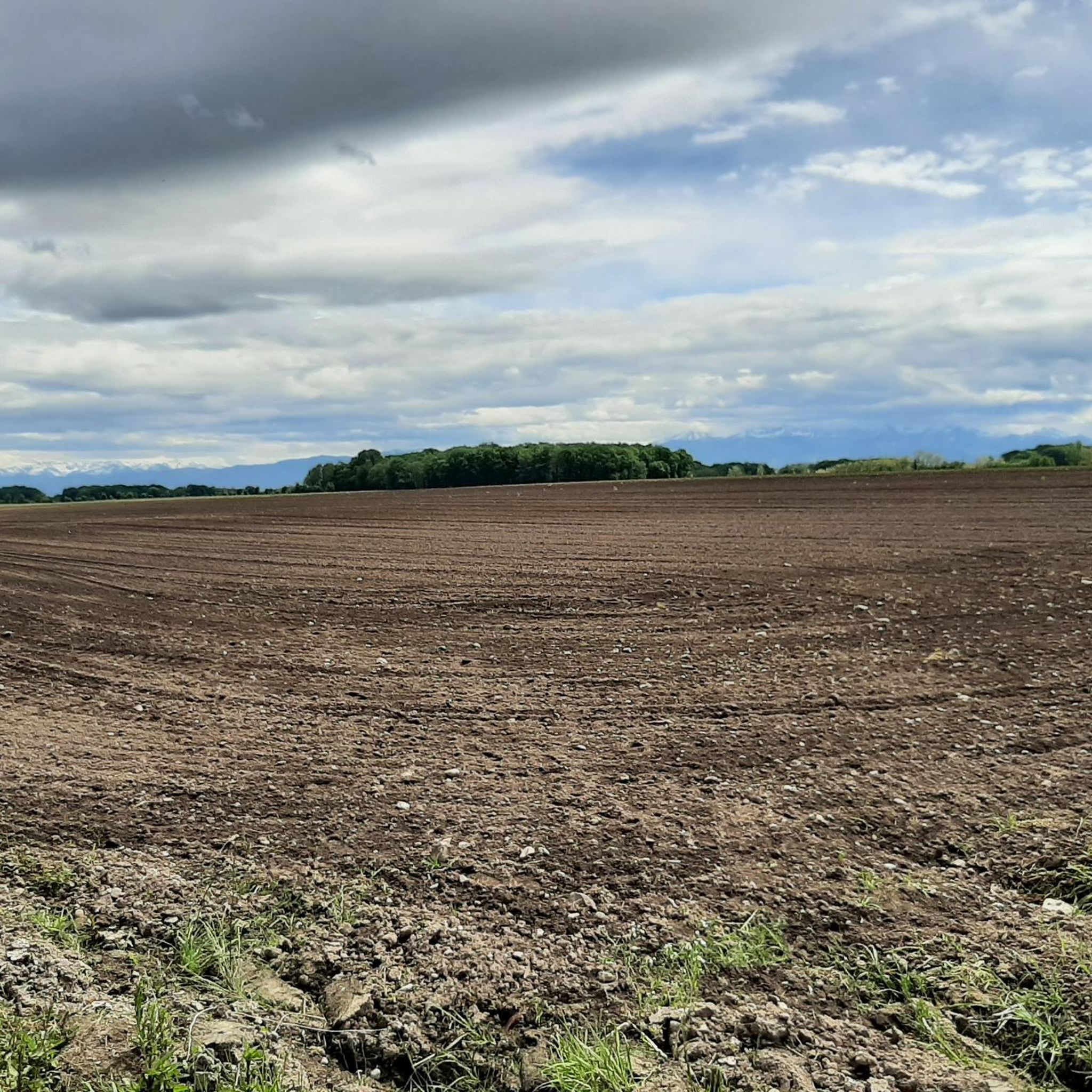
Jogging around Poey-De-Lescar offers a verdant setting characterized by green, rolling countryside, agricultural fields, and woodlands. The area features the serene Ousse Valley and the Ousse stream, providing diverse terrain for runners. Varying altitudes, ranging from 138m to 185m, contribute to the varied landscape, with some routes offering views of the Pyrénées.
Best jogging routes around Poey-De-Lescar
- The most popular jogging route is Gave de Pau (Pau River) – Voie Verte Billère-Laroin loop from Siros, a 15.9 miles (25.5…
Last updated: October 15, 2026
67
runners
26.2km
02:49
80m
80m
Hard run. Very good fitness required. Mostly paved surfaces. Suitable for all skill levels.
11
runners
8.26km
00:54
20m
20m
Moderate run. Good fitness required. Mostly paved surfaces. Suitable for all skill levels.

4.0
(1)
5
runners
6.87km
00:43
50m
50m
Moderate run. Good fitness required. Mostly paved surfaces. Suitable for all skill levels.
7
runners
9.08km
00:58
20m
20m
Moderate run. Good fitness required. Mostly paved surfaces. Suitable for all skill levels.
3
runners
12.9km
01:24
50m
50m
Moderate run. Good fitness required. Mostly paved surfaces. Suitable for all skill levels.
Get access to more routes and recommendations from other explorers.
Already have an account?
Our route recommendations are based on thousands of hikes, rides, and runs completed by other people on komoot.
Start today with a free account
Your next adventure awaits.

Tips from the Community


Come and relax, recharge your batteries or satisfy your needs in this place located near the Gave de Pau and the V81. Dry toilets are available as well as a drinking water point, a book box and games for children. Note that a guinguette is also present and a restaurant aptly named "Au bord de l'eau".
0
1

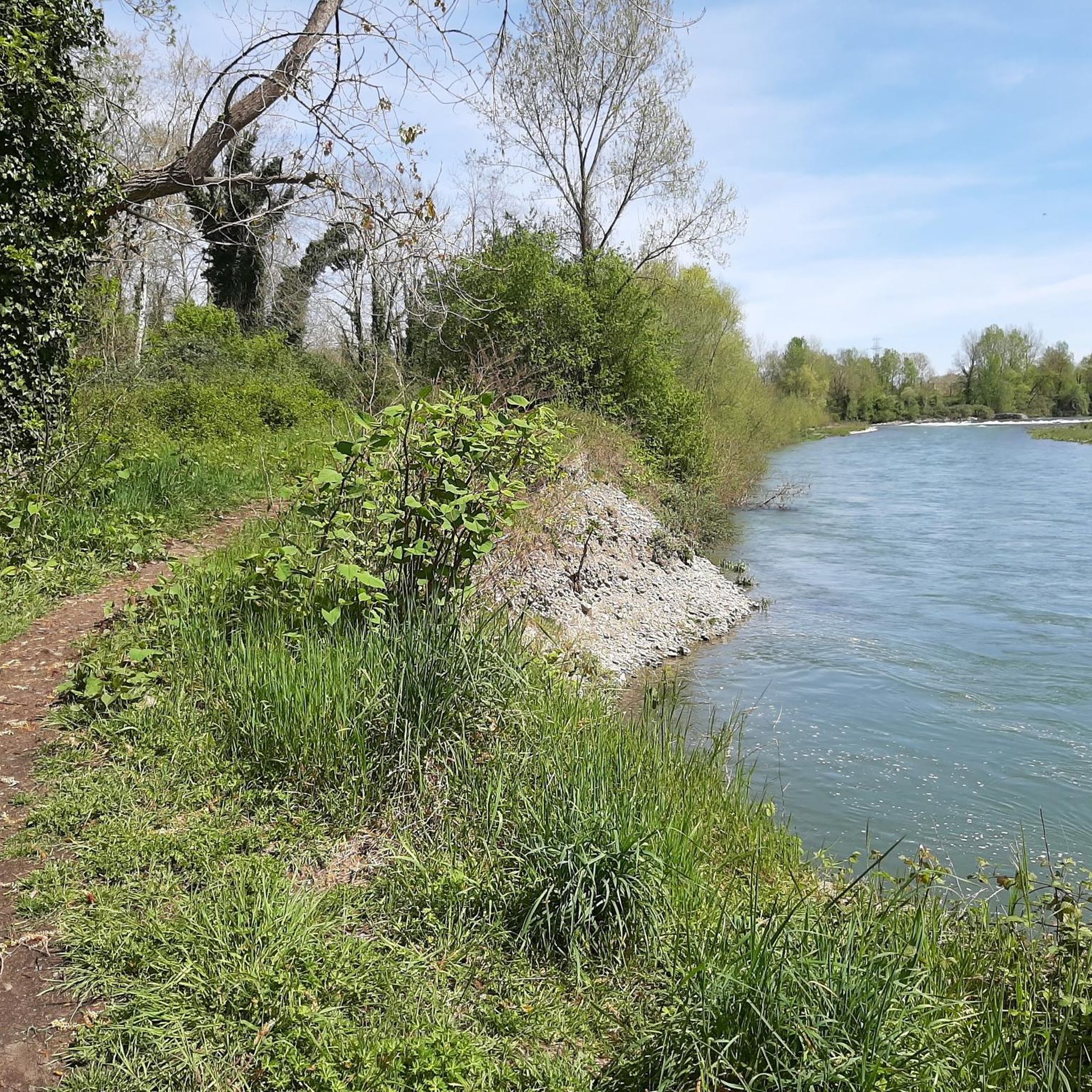
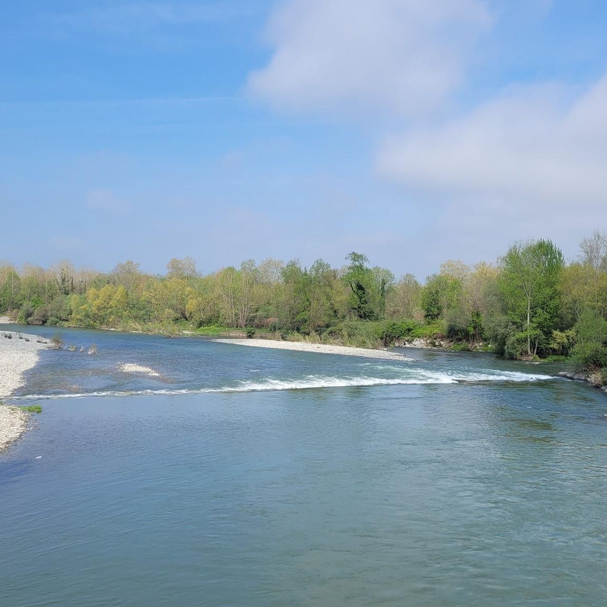
Beautiful and wide view of the gave, junction with Laroin by passage under the road
1
0
Picnic tables are present in the immediate vicinity of the Véloroute V81 and the Gave.
1
0
The bridge is accessible from the V81 and allows you to cross over the Gave de Pau. Gave means "stream". It is 190.7 km long. Its most upstream source is located in the Cirque de Gavarnie. The large number of plastic waste present on the banks of the Gave represents one of the negative sides of the latter as well as of many rivers. Pay attention to your trash ;)
2
0

Nice bike path along the river to Pau. The town itself has a lot to offer, the castle, a funicular, botanical gardens, beautiful architecture and of course lots of bars, restaurants and shops.
3
0
Frequently Asked Questions
How many running routes are available around Poey-De-Lescar?
There are over 14 jogging routes around Poey-De-Lescar, offering a variety of distances and difficulty levels. These routes are highly rated by the komoot community, with an average score of 4.3 stars.
Are there easy running paths suitable for beginners in Poey-De-Lescar?
Yes, there is at least one easy running route available. For instance, the "Poey-de-Lescar - Chemin de Malapet" is a 4.6 km loop considered easy, featuring paths through cultivated fields and woodlands with views of the Pyrénées. It's marked with yellow pedestrian signs (n°13).
What kind of terrain can I expect on jogging routes in Poey-De-Lescar?
Jogging routes in Poey-De-Lescar feature a diverse terrain, characterized by green, rolling countryside, agricultural fields, and woodlands. You'll often find paths along the serene Ousse Valley and the Ousse stream. Some routes, like the "Chemin de Malapet", even offer inspiring views of the Pyrénées. While many routes are on paved surfaces, others venture into natural paths.
Are there any circular running routes in Poey-De-Lescar?
Yes, many of the running routes around Poey-De-Lescar are designed as loops, allowing you to start and finish in the same location. Examples include the Turon de Terre Rouye loop from Poey-de-Lescar and the Lac du Liana loop from Siros.
What do other runners enjoy most about jogging in Poey-De-Lescar?
The area is highly rated by the komoot community, with an average score of 4.3 stars from over 70 reviews. Runners often praise the varied terrain, the peaceful natural surroundings, and the well-maintained paths that allow for exploration of the Ousse Valley and views of the Pyrénées.
Are there any notable landmarks or attractions along the running routes?
While the routes primarily focus on natural beauty, you can find interesting points nearby. The Gave de Pau (Pau River) is a significant natural feature that some routes follow. For a country walk that highlights the area's natural beauty, consider the "Poey-de-Lescar - La Vallée de l'Ousse" route, which starts from the town hall and follows the Ousse stream. More information on this specific route can be found on tourisme pau.
What is a challenging running route for experienced joggers in Poey-De-Lescar?
For experienced runners, the Gave de Pau (Pau River) – Voie Verte Billère-Laroin loop from Siros is a challenging option. This 25.5 km trail is mostly on paved surfaces and requires excellent physical condition. Another demanding route is the Turon de Terre Rouye loop from Poey-de-Lescar, which features a significant 325 m elevation gain over 14.2 km.
Are the running trails around Poey-De-Lescar well-marked?
Yes, the commune of Poey-De-Lescar, in collaboration with the Pau Béarn Pyrénées urban community, has developed signposted circuits. Routes like "Poey-de-Lescar - La Vallée de l'Ousse" and "Poey-de-Lescar - Chemin de Malapet" are specifically marked with yellow pedestrian signs, ensuring clear navigation.
Can I find moderate-difficulty running routes in the area?
Absolutely. The majority of routes in Poey-De-Lescar are classified as moderate. An example is the Running loop from Poey-de-Lescar, which covers 6.8 km with a moderate elevation gain, offering a good balance for regular runners.
What is the best time of year to go jogging in Poey-De-Lescar?
Poey-De-Lescar's verdant setting makes it appealing for outdoor activities throughout much of the year. Spring and autumn offer pleasant temperatures for running, while summer can be enjoyable, especially in the mornings or evenings. The mix of woodlands and open fields provides varied conditions depending on the season.
Are there any running routes that offer views of the Pyrénées?
Yes, some routes in the Poey-De-Lescar area provide scenic views of the Pyrénées. The "Poey-de-Lescar - Chemin de Malapet" route, for example, is known for offering inspiring backdrops of the mountains as you run through cultivated fields and woodlands.
Most popular routes around Poey-De-Lescar
Most popular attractions around Poey-De-Lescar

Get inspired with the komoot mobile app


Explore more
Browse the best Running Trails & Routes in other regions.
