The best mountain hikes in Sarine District
4.7
(3)
56
hikers
7
hikes
Mountaineering in Sarine District offers diverse experiences within the Canton of Fribourg's pre-Alpine environment. The region is characterized by green hills, extensive forests, and pre-Alpine summits, providing varied terrain for exploration. The Sarine River carves deep valleys and gorges, adding dramatic geological features to the landscape. Glacial hills and sandstone cliffs further define the district's natural composition, making it suitable for challenging mountain hikes.
Best mountaineering routes in Sarine District
- The most popular mountaineering route is Steep Ascent on Forest…
Last updated: October 7, 2026
5.0
(1)
17
hikers
15.1km
06:48
1,070m
1,070m
Hard mountaineering route. Very good fitness required. Sure-footedness, sturdy shoes and alpine experience required.
5.0
(1)
10
hikers
14.1km
06:28
1,070m
1,070m
Hard mountaineering route. Very good fitness required. Sure-footedness, sturdy shoes and alpine experience required.

8
hikers
Hard mountaineering route. Very good fitness required. Sure-footedness, sturdy shoes and alpine experience required.
6
hikers
13.9km
05:20
870m
870m
Hard mountaineering route. Very good fitness required. Mostly accessible paths. Sure-footedness required.
4.0
(1)
9
hikers
13.3km
05:51
860m
860m
Hard mountaineering route. Very good fitness required. Sure-footedness, sturdy shoes and alpine experience required.
6
hikers
9.83km
03:18
500m
500m
Moderate mountaineering route. Good fitness required. Easily-accessible paths. Suitable for all skill levels.
Our route recommendations are based on thousands of hikes, rides, and runs completed by other people on komoot.
Start today with a free account
Your next adventure awaits.
Popular around Sarine District
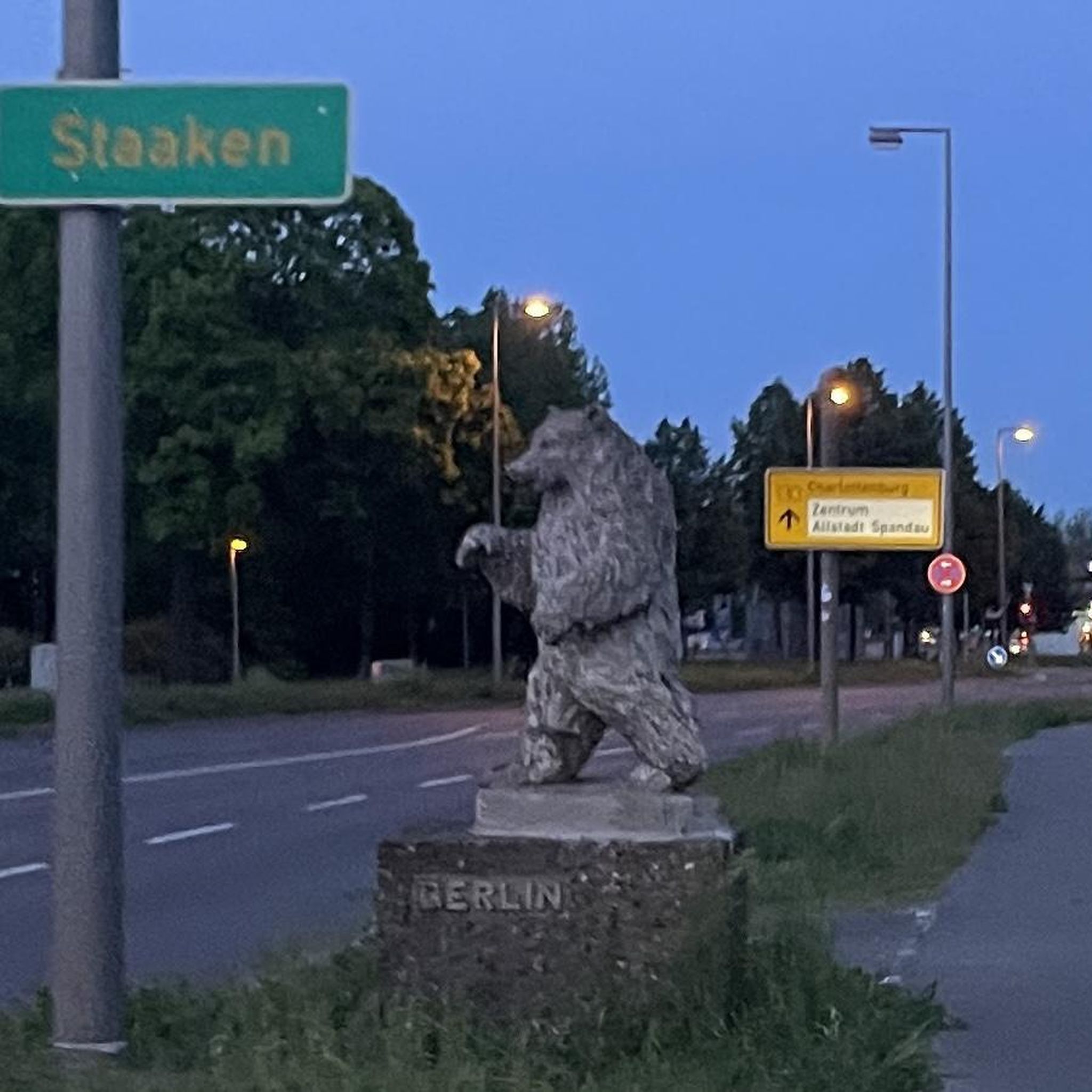
Mountain Hikes around Treyvaux
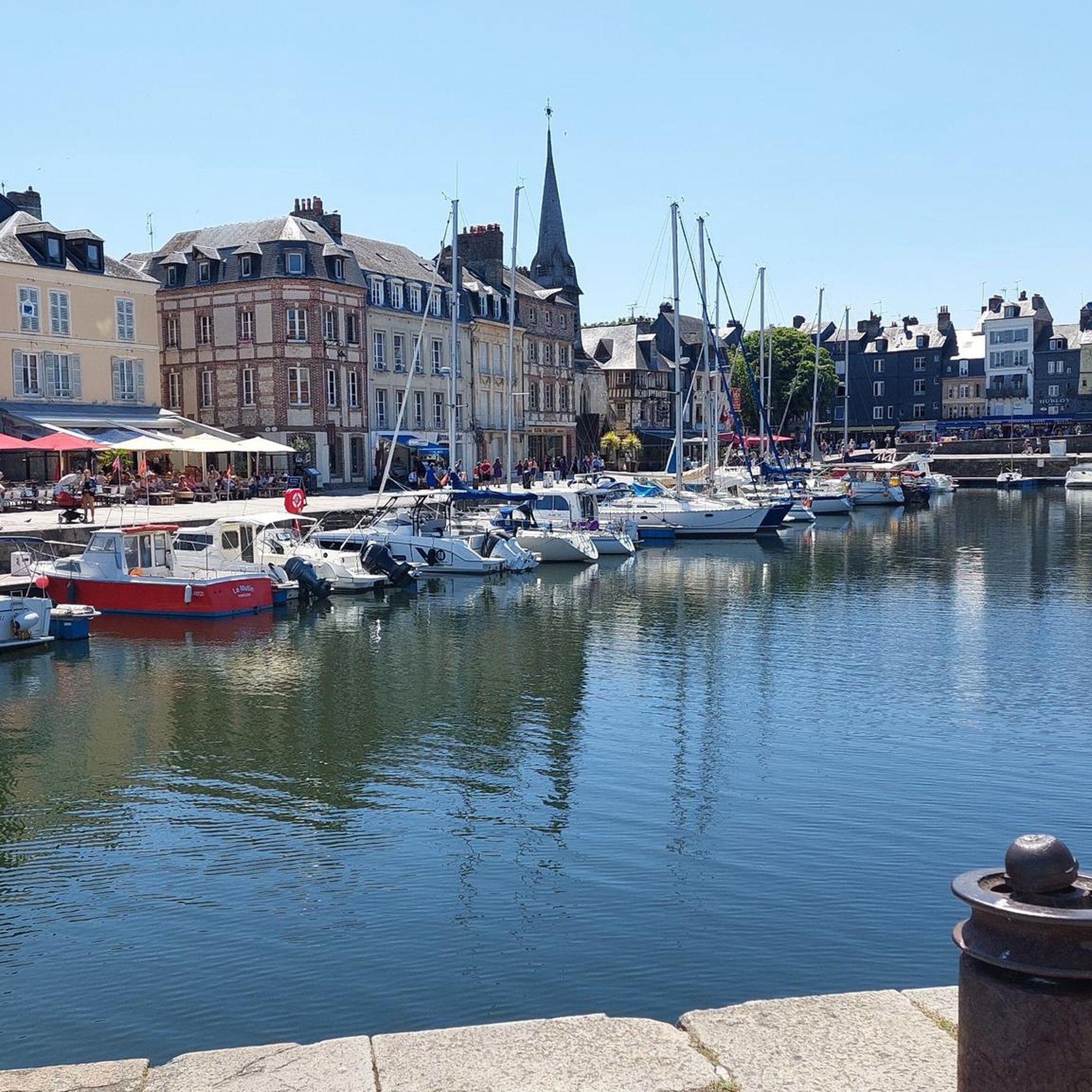
Mountain Hikes around Le Mouret
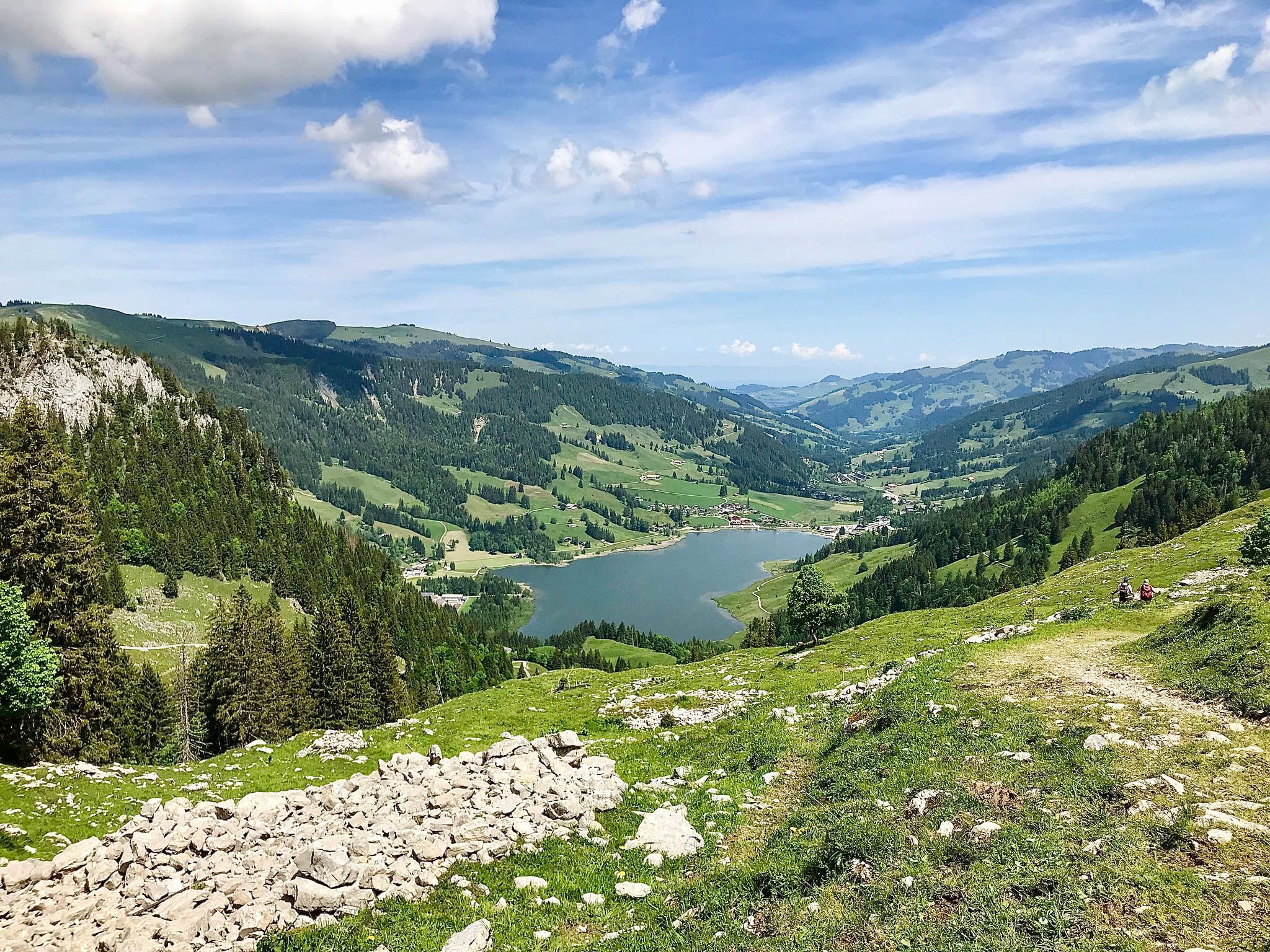
Freiburg Pre-Alpine Trail – Hiking along the language border
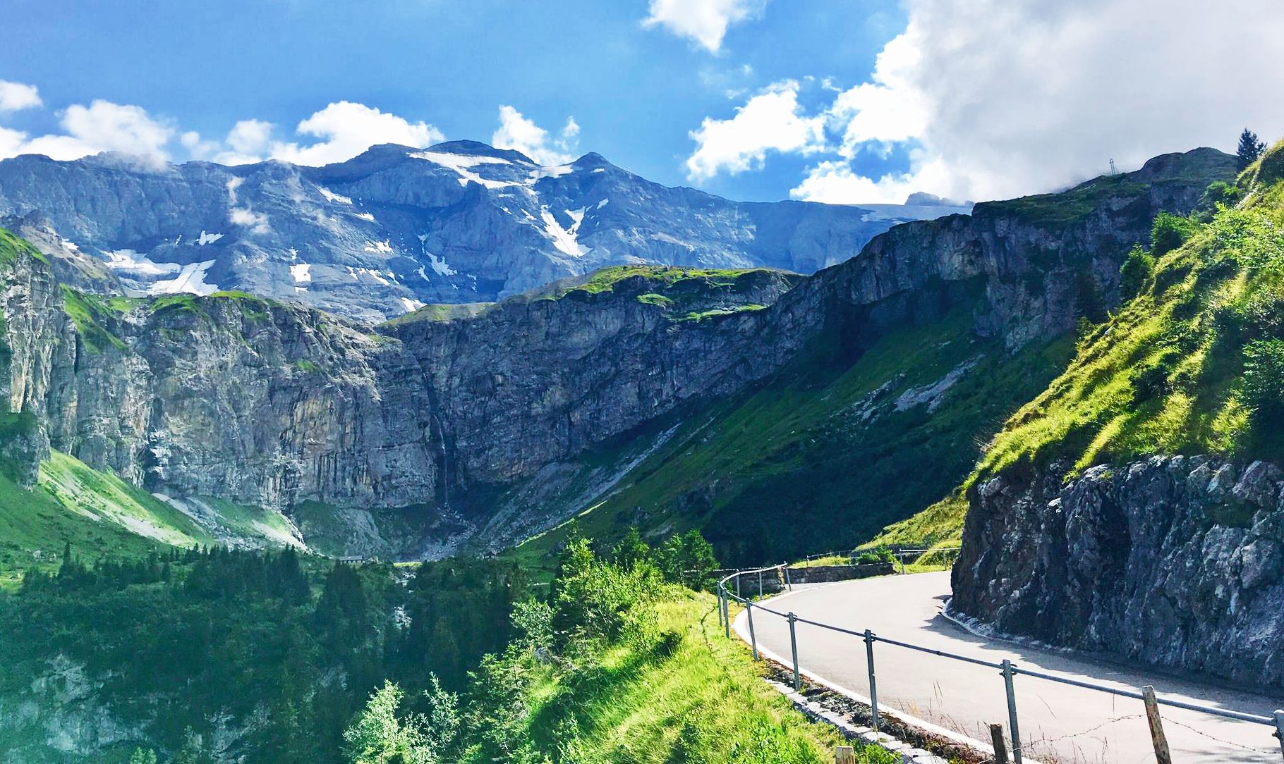
Alpine Panorama Route — 8 stages through the foothills of the Alps

Via Jacobi – Following the Way of St James across Switzerland

Every cycling trip is a little holiday – bike to work Challenge 2026
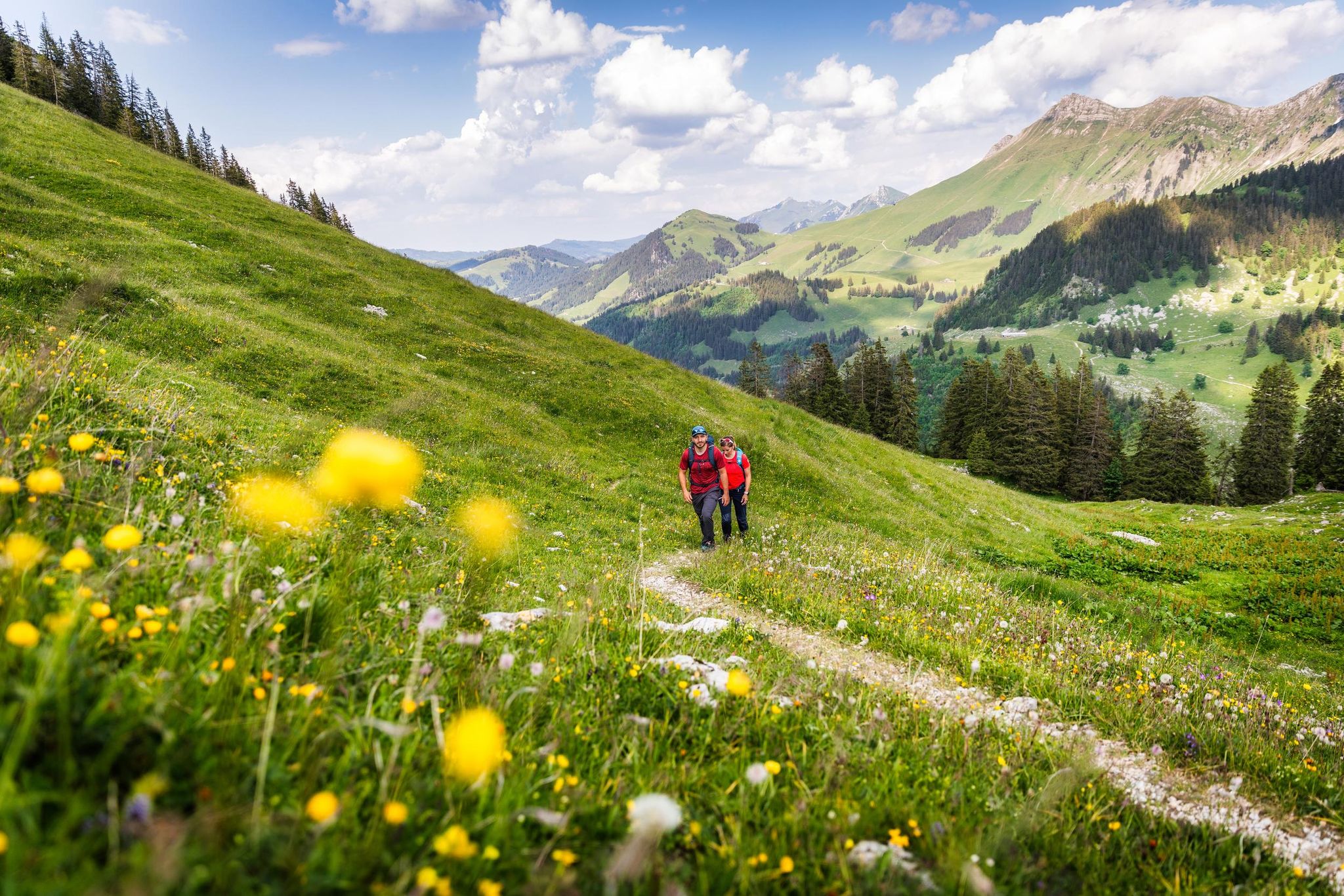
Your summer hikes in the Fribourg Region
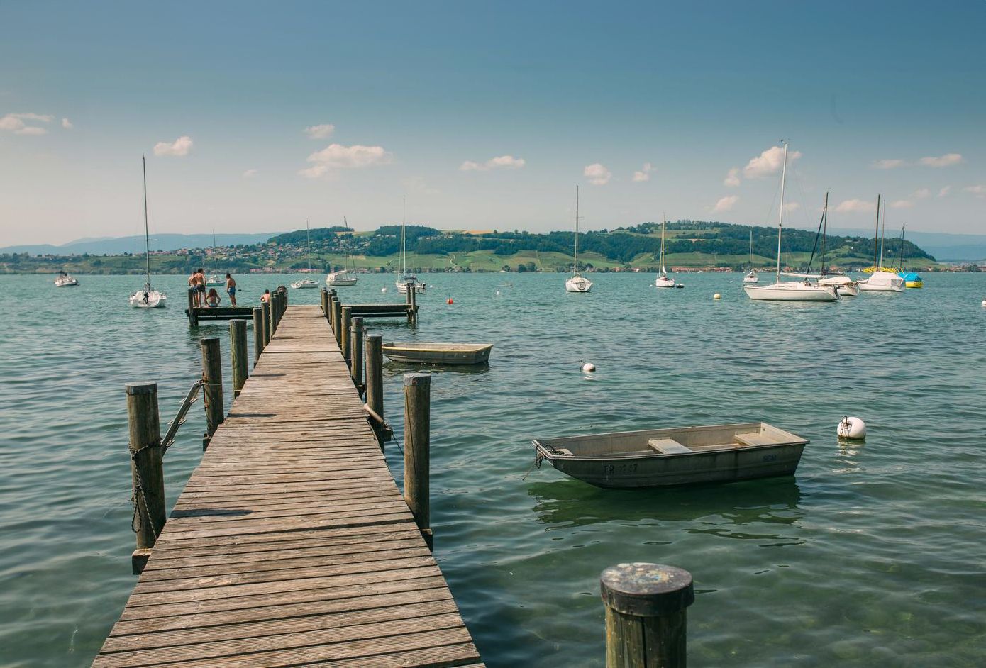
Discover water’s brilliant diversity – hiking in the canton of Fribourg
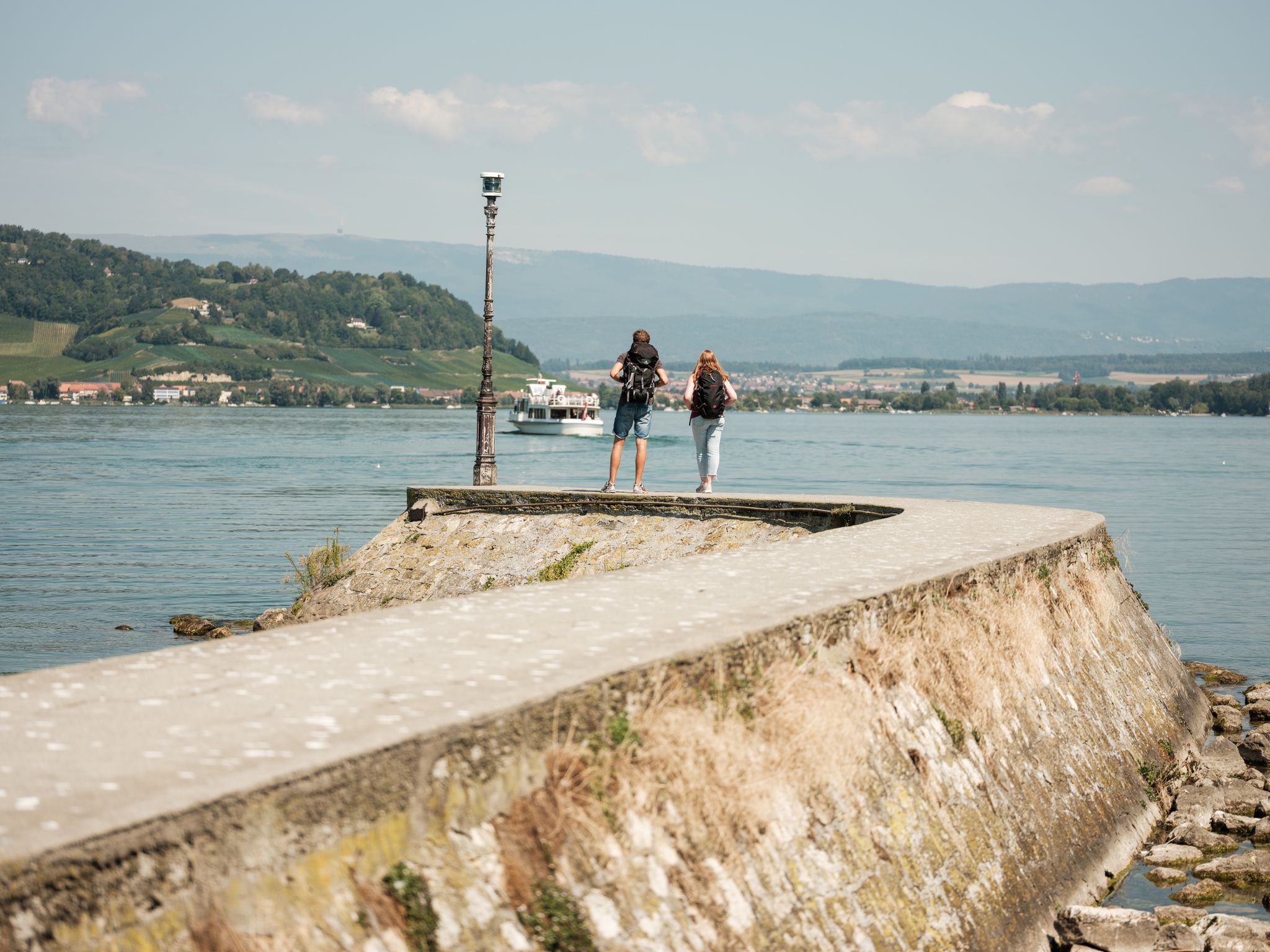
"Fribourg en diagonale" - Once across the Canton Fribourg
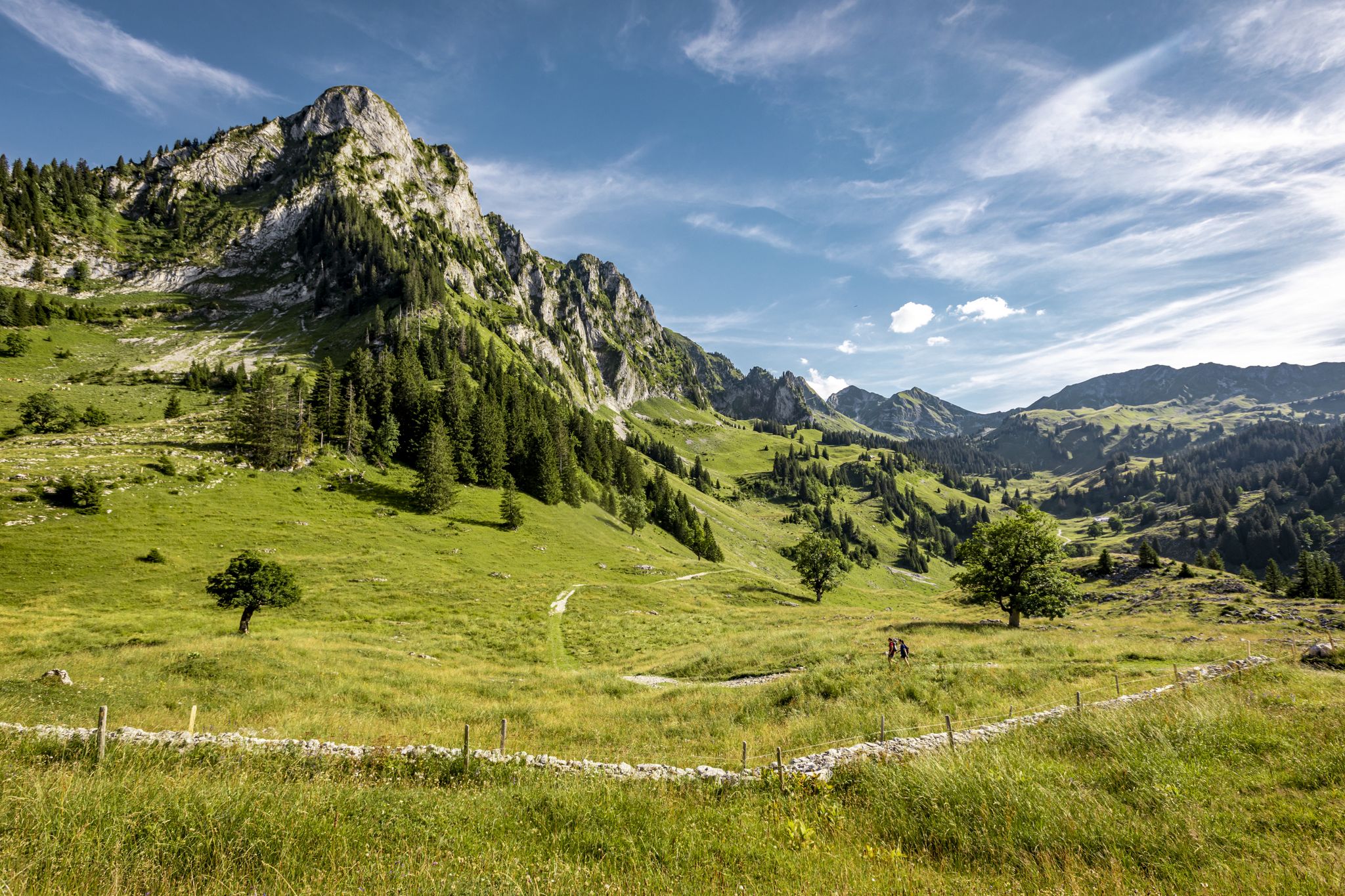
Over Stock and Stone - Freiburg Pre-Alps Trail
Other adventures in Sarine District


Tips from the Community

All further useful information about the Bike Flowtrail Schwarzsee can be found on our website: https://fribourg.ch/de/schwarzsee/outdoor-aktivitaeten/bike-flowtrail-schwarzsee/?utm_source=komoot_collection_de&utm_medium=referral&utm_campaign=JO26&utm_content=bike-flowtrail-schwarzsee
2
0
The Flowtrail Schwarzsee offers pure biking fun in the middle of the Fribourg Prealps. With flowing corners, small waves, and dreamlike views of the Schwarzsee, the trail is perfect for those who want to combine riding pleasure and nature. Whether as a relaxed after-work loop or a sporty trail adventure – every mountain bike fan will get their money's worth here. Between Riggisalp and Schwarzsee, the trail leads through a varied landscape of forests, pastures, and impressive views of the lake and mountains. With a length of 3.6 kilometers and 427 meters of descent, the trail is classified as moderately difficult in the upper section and easy further down. A separate entrance to the lower section (Start Blau) provides families and beginners with younger children with particularly easy access. A gentle track with playfully designed obstacles ensures a smooth, relaxed riding experience on the bike. Those looking for more action will find additional, technically more demanding elements along the route. These are deliberately designed so that less experienced riders can easily bypass them at any time via a "Safe Line".
2
1


The Alp Oberer Euschels is located just below the 1,600-meter-high Euschelspass on the Schwarzsee side. Up here, you can get many delicacies, from cheese to sausages to fondue (on request). The alp is open from June to October, and you can also stay overnight. More information also here: https://fribourg.ch/de/schwarzsee/berghuetten-mit-verpflegungsmoeglichkeit/alp-oberer-euschels/
0
0

Charming alpine hut with terrace & courtyard atmosphere – directly on the path between Schwarzsee (Gypsera) and the Euschelspass Regional specialities: goat cheese, fondue, dried sausage, homemade desserts & cheese sales directly from the farm Hosts: The Bapst family has been running the hut for over 100 years – familiar & authentic 🚶 Route Inclusion: Frequent stopover on hiking tours from Schwarzsee via Euschelspass to Jaun (circular tour approx. 13 km, ~5 h, 700 m elevation gain) Access: The hiking trail leads through forest and open alpine pastures to the hut – from there, it is possible to continue towards Breccaschlund & Riggisalp
0
0

Great alpine snack bar for a little break. Great view of the Black Lake. Friendly welcome and excellent food!
0
0
There are great hikes around the Schwarzsee for everyone. From easy and leisurely to more challenging 🥾
1
0

The Stierenberg viewpoint is the highest peak between the Suhre and Aabach valleys, and offers breathtaking views of the Schwarzsee, the surrounding mountains and the Mittelland. You can also admire an imposing sycamore maple which sits on the hiking trail, and rest on a bench which invites you to stroll. The Stierenberg viewpoint is accessible by different routes, such as that of Val-de-Charmey in the Gruyère district. You'll be rewarded with stunning views and a sense of accomplishment after reaching the top of this forested mountain.
2
0
Frequently Asked Questions
What types of mountaineering routes can I find in Sarine District?
Sarine District, nestled in the Canton of Fribourg's pre-Alpine environment, offers a variety of mountain hikes. You'll find routes characterized by green hills, extensive forests, and pre-Alpine summits. The dramatic Sarine River gorges and glacial hills add to the diverse terrain, providing options for both moderate and difficult mountain hikes.
How many mountaineering routes are available in Sarine District?
There are over 9 dedicated mountaineering routes in Sarine District featured on komoot, with more than 100 mountaineers having explored the area using our platform. These routes are highly rated by the komoot community, averaging 4.6 stars from over 6 reviews.
Are there any easier mountaineering routes suitable for beginners in Sarine District?
While many routes in Sarine District are classified as difficult, there are a couple of moderate options available. For instance, the Lower Euschels Alpine Hut – Obere Euschels Alp loop from Schwarzsee is a moderate route covering about 10.1 km with an elevation gain of around 514 meters, typically taking about 3 hours 23 minutes.
Which mountaineering routes offer the best viewpoints in Sarine District?
Many routes in Sarine District provide rewarding views of the pre-Alpine landscape. The View of Schwarzsee – Patraflon Summit Statue loop from Schwarzsee is particularly known for its expansive vistas, including the beautiful Schwarzsee, and leads to the Patraflon Summit Statue. Another route, View of Lac de la Gruyère – Vallée de la Brecca loop from Schwarzsee, offers stunning views of Lac de la Gruyère.
Are there circular mountaineering routes in Sarine District?
Yes, all the featured mountaineering routes in Sarine District are circular, allowing you to start and end your adventure at the same point. Examples include the Steep Ascent on Forest Trail – Ascent to Kaiseregg Pass loop from Schwarzsee and the Vallée de la Brecca – Spitzflue Summit loop from Schwarzsee.
What is the best time of year for mountaineering in Sarine District?
The pre-Alpine environment of Sarine District is generally best explored during the warmer months, typically from late spring to early autumn. This period offers more stable weather conditions and clear trails, making for a more enjoyable and safer mountaineering experience. Always check local weather forecasts before heading out.
What interesting natural features can I see along the mountaineering routes in Sarine District?
The Sarine District is rich in natural beauty. Along your routes, you might encounter impressive Sandstone Cliffs on the Sarine River, sculpted by ancient underwater currents. The dramatic Sarine Canyon itself is a significant geological feature. You can also find viewpoints like the View of Lac de Pérolles and the Saane Gorge, offering picturesque landscapes.
Are there any routes that pass by waterfalls in Sarine District?
While the region is known for its dramatic river gorges, specific mountaineering routes listed here don't prominently feature waterfalls. However, the broader Sarine District offers various hiking opportunities, including some waterfall hikes, such as the Arbognes Singletrack and Waterfall, which is part of other trail networks in the area.
What do other mountaineers enjoy most about the routes in Sarine District?
The routes in Sarine District are highly rated by the komoot community, with an average score of 4.6 stars. Reviewers often praise the challenging yet rewarding nature of the mountain hikes, the expansive views from pre-Alpine summits, and the diverse terrain that includes forests and river valleys. The well-maintained trails and the sense of immersion in nature are frequently highlighted.
What is the typical duration for a mountaineering route in Sarine District?
The duration of mountaineering routes in Sarine District varies depending on the specific trail and your pace. For example, the difficult Spitzflue Summit – Obere Euschels Alp loop from Schwarzsee typically takes around 5 hours 50 minutes to complete, while the Ascent to Kaiseregg Pass – Steep Ascent on Forest Trail loop from Schwarzsee is often completed in about 6 hours 27 minutes.
Is parking available near the starting points of these mountaineering routes?
Many popular starting points for mountaineering routes in Sarine District, especially those around Schwarzsee, typically offer parking facilities. It's always advisable to check specific route details or local information for parking availability and any potential fees before your trip.
Can I spot wildlife while mountaineering in Sarine District?
The diverse pre-Alpine landscape of Sarine District, with its forests, meadows, and river valleys, provides habitats for various wildlife. While specific sightings are never guaranteed, keeping an eye out for local fauna, especially in quieter sections of the trails, can be a rewarding part of your mountaineering experience.
Most popular routes in Sarine District
Most popular attractions in Sarine District

Get inspired with the komoot mobile app


Didn’t find what you were looking for?
Check out more Mountain Hikes & Routes throughout Sarine District below and find the perfect route in your destination.
Explore more
Browse the best Mountain Hikes & Routes in other regions.
