The best cycling routes around Charritte-De-Bas
4.4
(68)
474
riders
64
rides
Touring cycling routes around Charritte-De-Bas are situated in the Pyrénées-Atlantiques department, within the Nouvelle-Aquitaine region's Basque Country. The area features rolling hills and green valleys, offering varied topography for cycling. Proximity to the Pyrenean foothills provides access to routes with more significant climbs, while the Saison river and local forests create shaded paths. This diverse landscape supports a range of touring cycling experiences.
Best touring cycling routes around Charritte-De-Bas
- The most popular touring cycling route is Navarrenx – Porte Saint-Jacques…
Last updated: October 7, 2026
4.0
(1)
10
riders
82.3km
06:14
1,970m
1,970m
Hard bike ride. Very good fitness required. Mostly paved surfaces. Suitable for all skill levels.
4.5
(2)
4
riders
49.0km
03:11
660m
660m
Hard bike ride. Very good fitness required. Mostly paved surfaces. Suitable for all skill levels.

3.8
(5)
27
riders
139km
08:31
1,270m
1,270m
Hard bike ride. Very good fitness required. Mostly paved surfaces. Suitable for all skill levels.
5.0
(1)
17
riders
90.1km
06:07
1,410m
1,400m
Hard bike ride. Very good fitness required. Mostly paved surfaces. Suitable for all skill levels.
15
riders
31.9km
02:11
550m
550m
Hard bike ride. Very good fitness required. Mostly paved surfaces. Suitable for all skill levels.
Get access to more routes and recommendations from other explorers.
Already have an account?
Our route recommendations are based on thousands of hikes, rides, and runs completed by other people on komoot.
Start today with a free account
Your next adventure awaits.
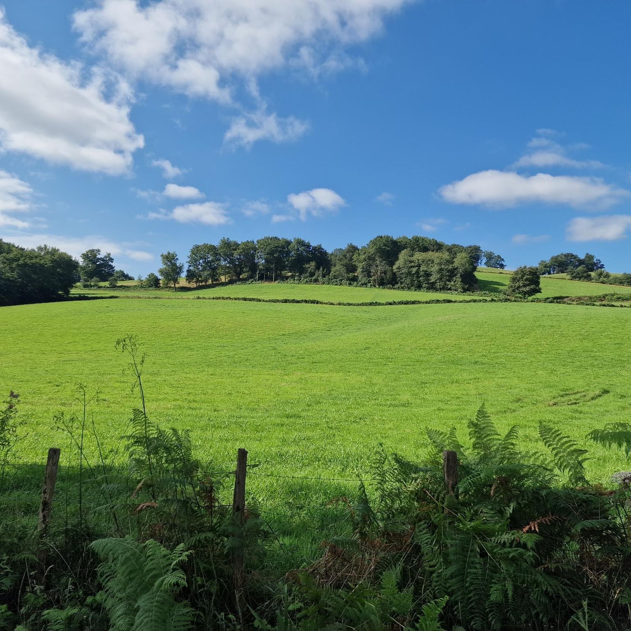
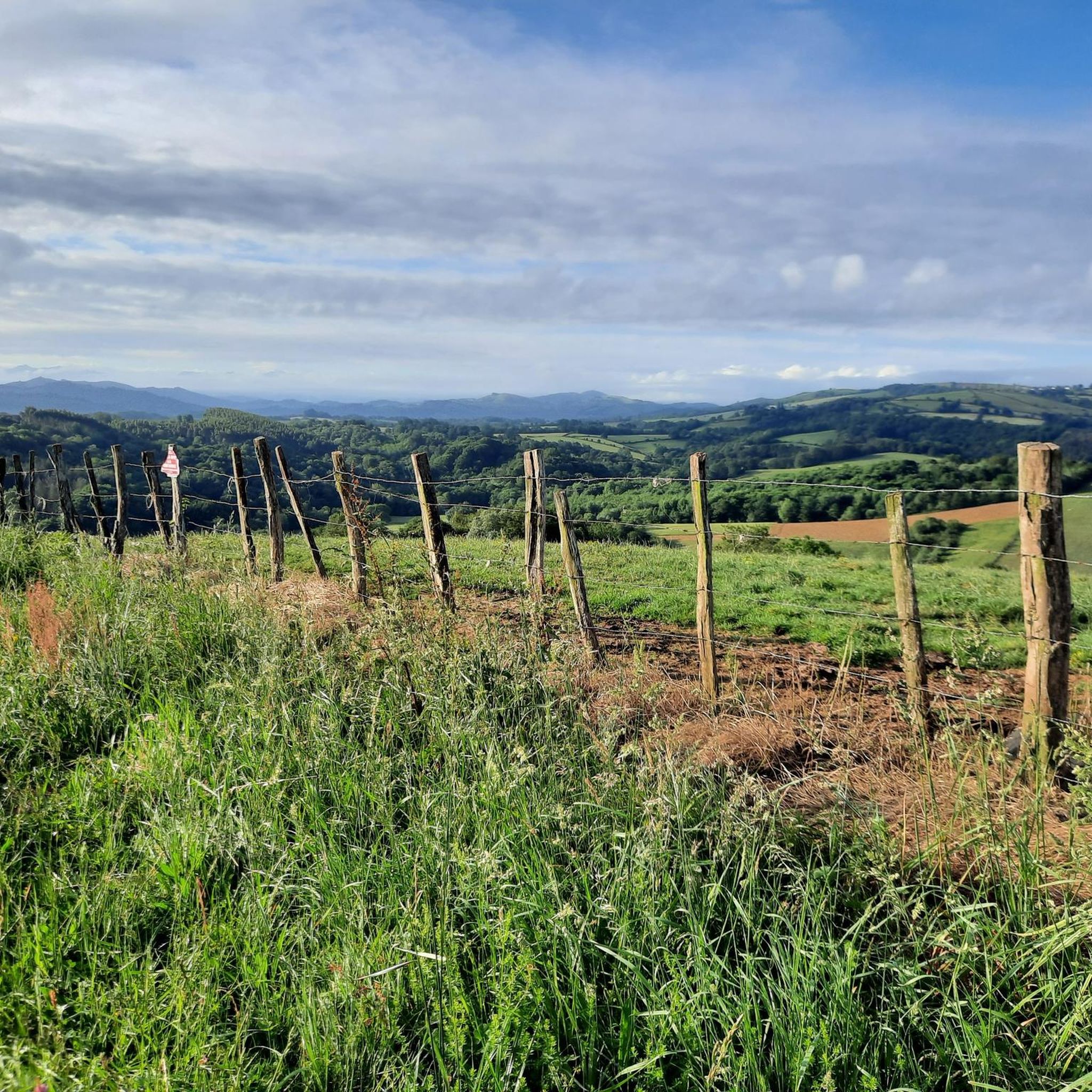
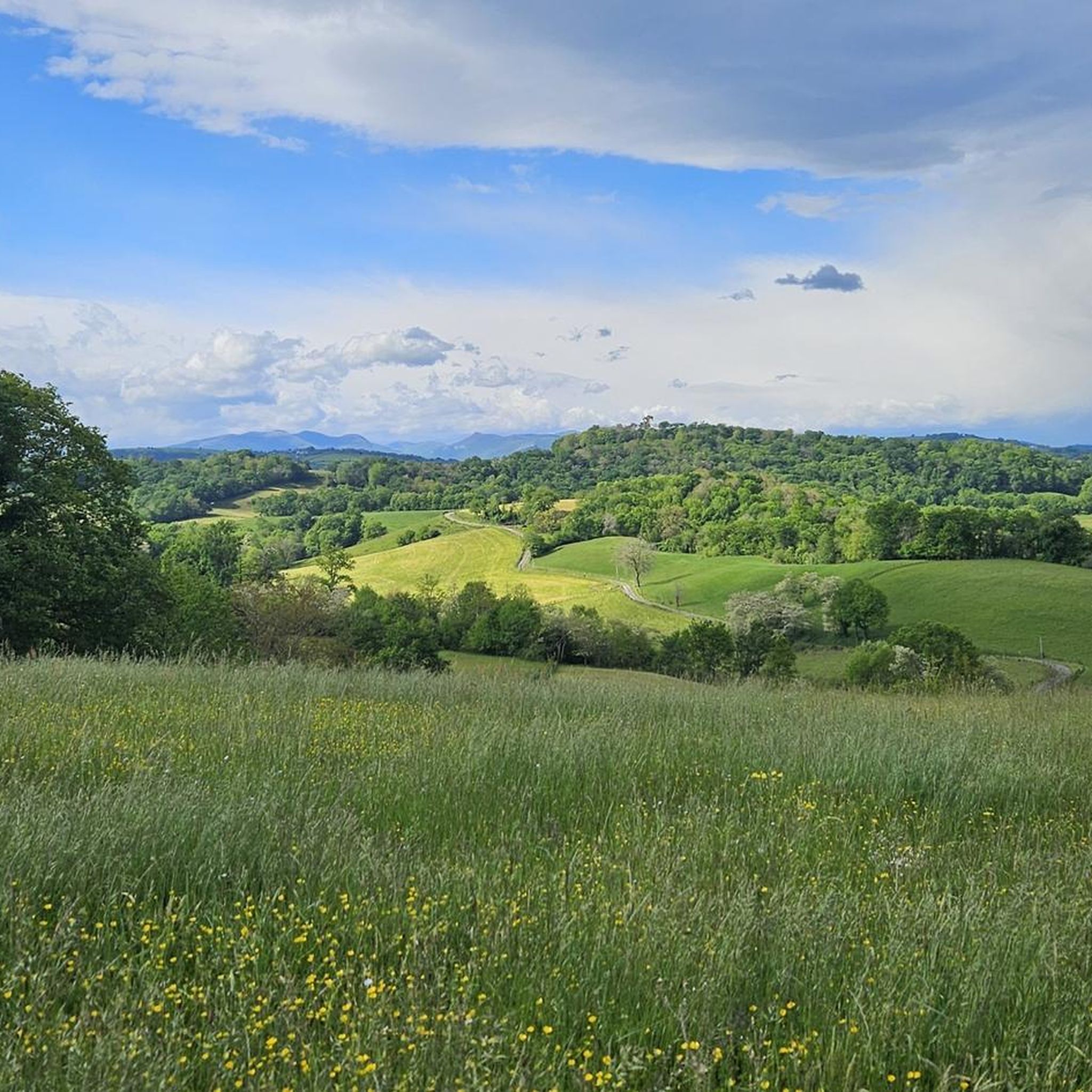

Tips from the Community

Stone stele from 1964, marking the confluence of the routes from Tours and Vézelay (which merged in Saint-Palais) with the route from Le Puy. It is a disc-shaped stele on a round base. Xibaltarre, the Basque pronunciation of Gibraltar, is a place name indicating a place where gypsies from Andalusia camped. It could also be a variation of Salbatore, referring to the sanctuary of San Salvador.
2
0

Very special this old bridge! We are passing by here for the second time since 2022.
0
0

AWESOME!!! when there is 35 degrees outside, you want to stay there forever
1
0

Very beautiful greenway, very pleasant
0
0

## The tunnel The tunnel, located between the Puyoô and Salies-de-Béarn stations, is one of the significant structures on line n° 662.000 connecting Puyoô to Mauléon. It is a single-track tunnel 848.5 m long and 5.00 m wide between the abutments. The height under the crown is 6.00 m. It is a multi-radius arch. The structure is generally oriented North-South, with a curve of R400 m for the first 250 meters on the North side, then a straight section to the South end. The longitudinal profile has a constant gradient of 0.01 m/m from the North. A central aqueduct equips the structure along its entire route. The maximum cover is 49 m. The tunnel is built in the Campanian flysch (Upper Cretaceous). The construction of the tunnel (1879-1883) was carried out from two headings via shafts approximately 35 m deep, located at PM219 and PM632. The shafts were retained as ventilation shafts. The masonry thicknesses (limestone rubble set in lime mortar) vary from 0.50 m to 1.20 m. The length of the tunnel, initially projected at 400 m, was increased to 787 m following the decision to lower the profile (from 20‰ to 16‰). During construction, ground instabilities encountered during the excavation of access trenches led to a further extension of the structure, which finally reached a length of 848.5 m. Numerous ground instabilities (landslides) caused significant delays in the progress of the work. The tunnel was electrified in 1930 and the overhead line equipment was removed in 1971.
0
0

Also easy to cycle here
0
0


A really beautiful cycle path on an old railway line. It is completely asphalted and is therefore a wonderful ride and there are one or two bridge highlights to admire along the way.
2
0
Frequently Asked Questions
How many touring cycling routes are available around Charritte-De-Bas?
There are over 65 touring cycling routes around Charritte-De-Bas, offering a wide range of options for exploring the Pyrénées-Atlantiques department. These routes traverse rolling hills, green valleys, and river paths, providing diverse scenery for cyclists.
What kind of terrain and difficulty can I expect on touring cycling routes in this region?
The region around Charritte-De-Bas features varied terrain, from lush, green landscapes with rolling hills and fertile valleys to the foothills of the Pyrenees. You'll find a mix of routes: 5 are considered easy, 25 are moderate, and 37 are difficult, offering options for both casual riders and those seeking more challenging climbs.
Are there any family-friendly touring cycling routes in the Charritte-De-Bas area?
Yes, the area offers family-friendly options, particularly along river valleys and through gentler rolling hills. While specific routes are not highlighted as exclusively family-friendly, the 5 easy routes and many of the 25 moderate routes are suitable for families looking for less strenuous rides. The region's greenways and tranquil paths provide a safe and enjoyable environment.
What are some notable landmarks or attractions I can see along the touring cycling routes?
Many routes pass by charming Basque villages and historical sites. You could cycle towards the fortified town of Navarrenx, known for its unique layout. Other points of interest include the Gibraltar Stele, the town of Mauléon-Licharre, and the historic Saint-Germain-d'Auxerre Church. These offer cultural stops during your ride.
Are there circular touring cycling routes available?
Yes, many of the touring cycling routes around Charritte-De-Bas are designed as loops. For example, the difficult Mauléon-Licharre – Mauléon-Licharre loop from Charritte-de-Bas and the moderate Bridge over the Saison River loop from Espès-Undurein are popular circular options, allowing you to start and end in the same location.
What is the best time of year for touring cycling in Charritte-De-Bas?
The region's oceanic influences and temperate climate make it appealing throughout many seasons. Spring and autumn generally offer pleasant temperatures and vibrant scenery, ideal for touring cycling. Summers are also suitable, with rivers and forests providing shaded routes. It's always advisable to check local weather forecasts before heading out.
Are there any long-distance touring cycling routes accessible from Charritte-De-Bas?
While Charritte-De-Bas itself is a rural commune, its location within the Basque Country provides access to a wider network of major itineraries. You can connect to longer routes like Navarrenx – Porte Saint-Jacques loop from Espès, which covers over 100 miles (160 km) and explores regional towns and varied terrain, or the Tunnel – wonderful, quiet bike path loop from Aroue-Ithorots-Olhaïby, another extensive option.
What do other touring cyclists enjoy most about cycling in Charritte-De-Bas?
The area is highly rated by the komoot community, with an average score of 4.2 stars from over 40 reviews. Touring cyclists often praise the diverse landscapes, from rolling hills to river valleys, and the opportunity to experience the charming Basque villages and cultural immersion the region offers. The variety of routes catering to different ability levels is also a significant draw.
Are there options for moderate touring cycling routes?
Yes, there are 25 routes classified as moderate, providing a good balance of challenge and enjoyment. An example is the The Mauléon walkways – Bridge over the Saison River loop from Aroue, which offers a pleasant ride through local landscapes without extreme elevation changes.
Is there public transport or parking available for cyclists in the Charritte-De-Bas area?
Charritte-De-Bas is a rural commune, so public transport options directly to trailheads might be limited. However, nearby towns like Mauléon-Licharre serve as regional hubs and may offer better access. For parking, cyclists typically find spots in or near the villages where routes begin, but specific designated cycling parking areas are not widely advertised for this rural location. It's best to plan your starting point in a village with amenities.
Can I find cafes or accommodation suitable for cyclists in the region?
Yes, the charming Basque villages in the vicinity of Charritte-De-Bas offer opportunities for breaks and cultural immersion. You'll find local cafes, pubs, and various accommodation options in these villages, providing ideal stopping points for refreshments or overnight stays during your touring cycling adventures.
Most popular attractions around Charritte-De-Bas

Get inspired with the komoot mobile app


Explore more
Browse the best Cycling routes in other regions.
