The best road cycling routes around Castella
4.4
(76)
1,952
riders
200
rides
Road cycling routes around Castella are set within a mountainous environment, characterized by forests and river systems. The region features significant elevation changes, with routes traversing varied terrain. While the area is known for its dramatic granite formations and the presence of major natural landmarks, the available routes offer a range of distances and ascents.
Best road cycling routes around Castella
- The most popular road cycling route is View of Clermont-Dessous – Saint John the Baptist Church loop from Laugnac…
Last updated: October 16, 2026
4.3
(3)
21
riders
77.4km
03:33
620m
620m
Moderate road ride. Good fitness required. Some segments of this route may be unpaved and difficult to ride.
3.0
(1)
13
riders
29.0km
01:29
370m
370m
Moderate road ride. Good fitness required. Mostly well-paved surfaces and easy to ride.

4.7
(7)
9
riders
23.9km
01:08
270m
270m
Easy road ride. Great for any fitness level. Mostly well-paved surfaces and easy to ride.
12
riders
42.9km
02:01
430m
430m
Moderate road ride. Good fitness required. Mostly well-paved surfaces and easy to ride.
5.0
(1)
5
riders
33.4km
01:31
320m
320m
Moderate road ride. Good fitness required. Mostly well-paved surfaces and easy to ride.
Get access to more routes and recommendations from other explorers.
Already have an account?
Our route recommendations are based on thousands of hikes, rides, and runs completed by other people on komoot.
Start today with a free account
Your next adventure awaits.



Tips from the Community

Former medieval stronghold, the village is officially labeled among The Most Beautiful Villages of France. Stone, brick, and half-timbered facades surround the market hall and the central square. The village is home to the Collegiate Church of Saint-Nicolas, whose tower-belfry serves as a fortified entrance gate to the town, as well as the Church of Sainte-Foy, adorned with remarkable 16th-century frescoes. Sections of ramparts and the old gates bear witness to its military past as an Albigensian stronghold.
0
0
Former medieval stronghold, the town is officially labeled among the Most Beautiful Villages of France. The stone, brick, and half-timbered facades surround the market hall and the central square. The village houses the Collégiale Saint-Nicolas, whose tower-steeple serves as a fortified entrance gate to the town, as well as the Sainte-Foy church, adorned with remarkable 16th-century frescoes. Sections of ramparts and the old gates bear witness to its military past as an Albigensian stronghold.
0
0
Former medieval stronghold, the village is officially labeled among The Most Beautiful Villages of France. Facades of stone, brick, and timber-frame surround the market hall and the central square. The village houses the Collegiate Church of Saint-Nicolas, whose tower-belfry serves as a fortified entrance gate to the town, as well as the Church of Sainte-Foy, adorned with remarkable 16th-century frescoes. Sections of ramparts and old gates bear witness to its military past as an Albigensian stronghold.
0
0
A former medieval stronghold, the village is officially labeled among the Most Beautiful Villages of France. Stone, brick, and half-timbered facades surround the market hall and the central square. The village houses the Collegiate Church of Saint-Nicolas, whose tower-belfry serves as a fortified gateway to the town, as well as the Church of Sainte-Foy, adorned with remarkable 16th-century frescoes. Sections of ramparts and old gates bear witness to its past as an Albigensian stronghold.
0
0
The architecture of Villeneuve-sur-Lot tells its story as a 13th-century river bastide, built for trade and defense. Its geometric checkerboard plan is organized around a central hub and opens onto the river. The checkerboard plan: Straight streets, typical of medieval bastides. Place Lafayette: Central square bordered by covered arcades (the cornières). The watchtowers: Fortified gates of Paris and Pujols in brick and stone. The Romanesque-Byzantine style: Used for the Sainte-Catherine church with its 55-meter high bell tower. The half-timbered facades: Medieval houses with timber framing and overhangs. The Pont des Cieutat: 13th-century structure with asymmetrical stone arches.
0
0

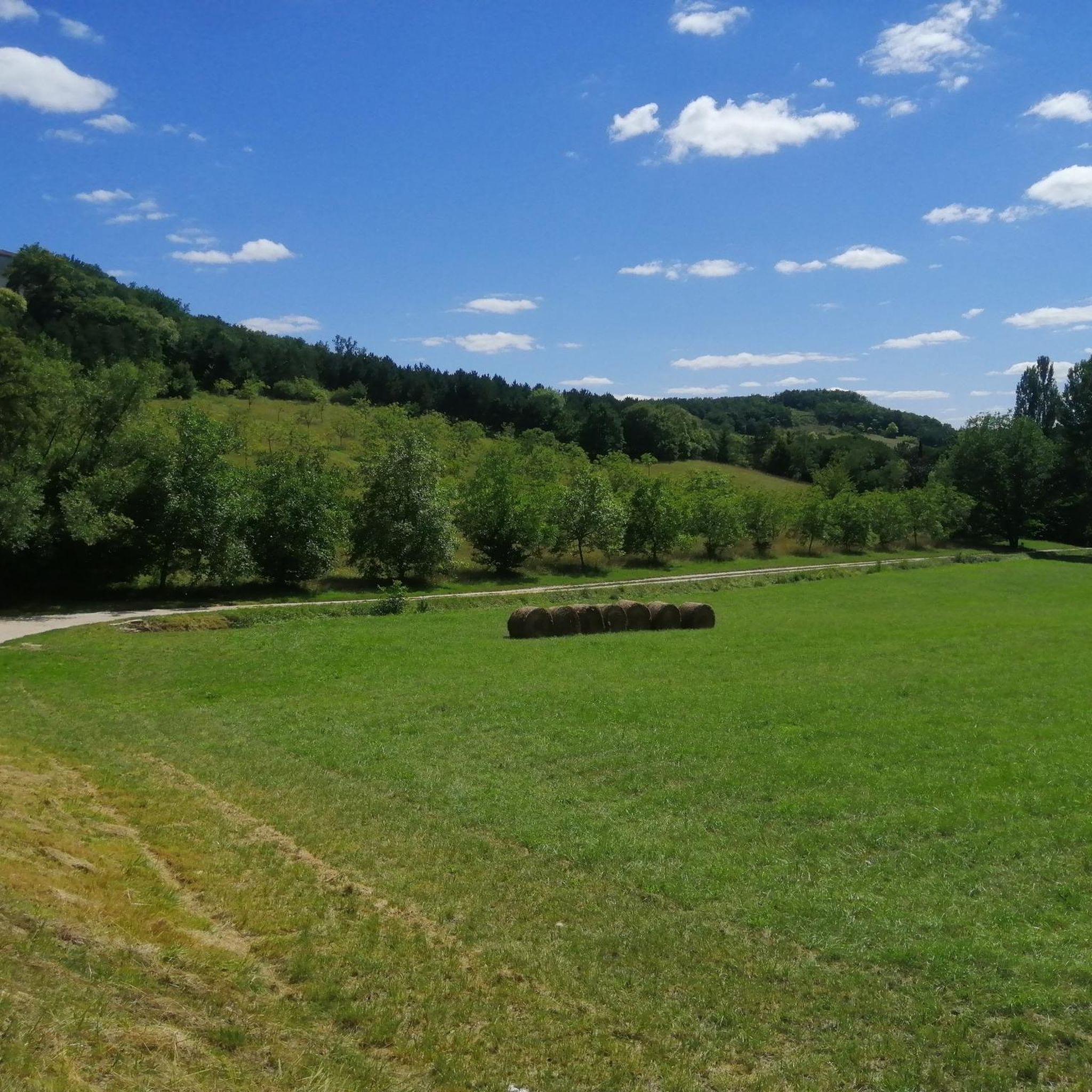
A very pleasant flat route ending with a challenge: the climb to Hautefage, a very good exercise.
0
0

Construction of the Agen canal bridge was almost halted permanently due to competition from waterways and the railway. Its history is, of course, closely linked to that of the entire Canal Lateral. On August 25, 1839, the foundation stone was laid by the Duke of Orléans, eldest son of Louis-Philippe, and Princess Helene of Mecklenburg, his wife. In 1841, work was halted. The bridge would be used for a time by farmers' carts to avoid a detour via the old stone bridge. On May 5, 1846, a law mandated the resumption of work, and the bridge was completed in 1847. But that wasn't the end of the worries. This bridge could perhaps have become a railway bridge: In 1850, those who exclusively supported the railway raised the question of filling in the canal cut (in its entirety) to lay the tracks. It wasn't until March 1856 that the entire Garonne lateral canal was completed. This bridge itself is 539 meters long, 12.48 meters wide, 2.70 meters deep, and has 23 arches. The waterway is 8.80 meters wide, which prevents crossings. Holding basins were built on either side of the aqueduct. The civil engineers Jean-Baptiste de Baudre and Jean Gratien de Job were responsible for its construction. It is made entirely of freestone from Quercy.
0
0

Perched on a rocky promontory, the village of Pujols is listed among the "Most Beautiful Villages of France." It overlooks the Lot and Mail valleys. Its medieval streets, stronghold, and imposing fortifications make this a charming place for a stroll.
0
0
Frequently Asked Questions
How many road cycling routes are available around Castella?
Castella offers a wide selection of road cycling routes, with over 225 tours available. These routes cater to various skill levels, including 31 easy, 172 moderate, and 22 difficult options.
What kind of terrain can I expect on road cycling routes near Castella?
Road cycling around Castella is characterized by a mountainous environment with significant elevation changes. You'll encounter varied terrain, from challenging climbs offering panoramic vistas of Castle Crags State Park and Mount Shasta, to more mellow mountain valley rollers along well-paved surfaces. The region's routes often follow scenic forested roads, particularly along the Sacramento River.
Are there any challenging climbs for advanced road cyclists in the Castella area?
Yes, the Castella area is known for its demanding climbs. The broader Mount Shasta region, which serves as a stunning backdrop, offers ascents of over 4,000 feet at an average grade of 5.6%, considered among Northern California's most difficult cycling experiences. Routes often feature significant elevation gains, providing a true test for advanced riders.
What are some scenic viewpoints or landmarks I can see while road cycling around Castella?
The region boasts dramatic natural beauty. You can enjoy breathtaking views of the ancient granite spires of Castle Crags State Park and the majestic, snow-capped Mount Shasta. The Sacramento River canyon also provides scenic routes. While cycling, you might pass by historical sites such as Pujols Medieval Village or the Sainte-Catherine Church of Villeneuve-sur-Lot, depending on your chosen route.
Are there any family-friendly road cycling routes near Castella?
While many routes feature significant elevation changes, there are 31 easy road cycling tours available around Castella. These routes offer a more balanced cycling experience suitable for families or those seeking a less strenuous ride. For example, the Roadbike loop from Giget is an easy 14.4-mile (23.1 km) option with moderate elevation gain.
What do other road cyclists enjoy most about road cycling in Castella?
The road cycling experience in Castella is highly rated by the komoot community, with an average score of 4.3 stars from over 60 reviews. Cyclists often praise the varied terrain, which includes both moderate climbs and descents, and the stunning natural landscapes, particularly the views of Castle Crags and Mount Shasta.
Can I find loop routes for road cycling in Castella?
Yes, many road cycling routes around Castella are designed as loops, allowing you to start and end at the same point. A popular moderate loop is the Sainte Livrade sur lot – Lot Valley cycle route loop from Giget, which covers 35.8 miles (57.6 km) and offers a balanced cycling experience.
What is the typical duration for road cycling routes in Castella?
The duration of road cycling routes in Castella varies significantly depending on the distance and elevation. For instance, a moderate route like the View of Clermont-Dessous – Saint John the Baptist Church loop from Laugnac, covering 53.9 miles (86.8 km) with over 2,300 feet (700 meters) of elevation gain, typically takes around 3 hours and 55 minutes to complete. Shorter, easier routes can be completed in under 2 hours.
Are there any waterfalls accessible or visible from road cycling routes in the Castella area?
While not directly on road cycling paths, the Castella area is known for beautiful waterfalls such as Mossbrae Falls and Sweetbriar Falls. These natural attractions are part of the broader scenic environment and can be explored as side trips or viewed from certain vantage points near the cycling routes.
What are some notable points of interest or settlements I might encounter on a road bike tour?
Depending on your route, you might pass through or near charming settlements and points of interest. For example, the Pujols-le-Haut – Villeneuve sur Lot loop from La Croix-Blanche will take you past Pujols, a notable settlement. You could also encounter the Agen river port or the Sainte-Livrade-sur-Lot – Le Temple-sur-Lot Greenway.
What is the best time of year for road cycling in Castella?
The mountainous environment of Castella means seasonal considerations are important. While specific best times can vary, the region generally offers excellent cycling conditions outside of peak winter snows. Summer conditions are typically warm, making early mornings or late afternoons ideal for longer rides. Always check local weather forecasts before heading out.
Are there options for shorter road cycling routes in Castella?
Yes, Castella offers several shorter road cycling options. For example, the Place Saint-Nicolas – Pujols loop from Giget is a moderate 17.9-mile (28.8 km) route that can be completed in under 1.5 hours, providing a good option for a quicker ride.
Most popular attractions around Castella

Get inspired with the komoot mobile app


Explore more
Browse the best Road cycling routes in other regions.
