The best running trails around Rain
4.7
(25)
330
runners
38
runs
Jogging around Rain offers routes through the scenic landscape of Bavaria, characterized by its location on the River Lech and numerous green spaces. The area features well-maintained city parks, greenbelts, and small hills, providing a pleasant environment for running. Runners can expect paths that follow the river, wind through parklands, and offer gentle inclines, making it suitable for various fitness levels.
Best jogging routes around Rain
- The most popular jogging route is Unobstructed View of the Alps loop from Rain…
Last updated: August 7, 2026
22
runners
4.84km
00:31
40m
40m
Easy run. Great for any fitness level. Mostly paved surfaces. Suitable for all skill levels.
13
runners
5.86km
00:37
60m
60m
Moderate run. Good fitness required. Mostly paved surfaces. Suitable for all skill levels.

Sign up for free
5.0
(1)
13
runners
14.6km
01:37
120m
120m
Moderate run. Good fitness required. Mostly paved surfaces. Suitable for all skill levels.
5.0
(3)
9
runners
12.8km
01:22
180m
180m
Moderate run. Good fitness required. Mostly paved surfaces. Suitable for all skill levels.
5.0
(1)
11
runners
8.83km
00:57
90m
90m
Moderate run. Good fitness required. Mostly paved surfaces. Suitable for all skill levels.
Get access to more routes and recommendations from other explorers.
Sign up for free
Already have an account?
Our route recommendations are based on thousands of hikes, rides, and runs completed by other people on komoot.
Start today with a free account
Your next adventure awaits.
Login or Signup

Tips from the Community

The idyllic pond is often covered with water lilies and is a popular local recreation area for good reason. There is a barbecue area with seating, a toilet and shelter nearby.
0
0

The Steinibühlweiher is located at an altitude of 559 m above sea level and is an artificially created reservoir.
0
0

The Steinibühl pond lies next to the motorway, between Sempach and Hildisrieden. The pond is situated on farmland near a wooded area and is a popular local recreation area. A barbecue area with seating, a toilet, and a shelter are located nearby.
0
0

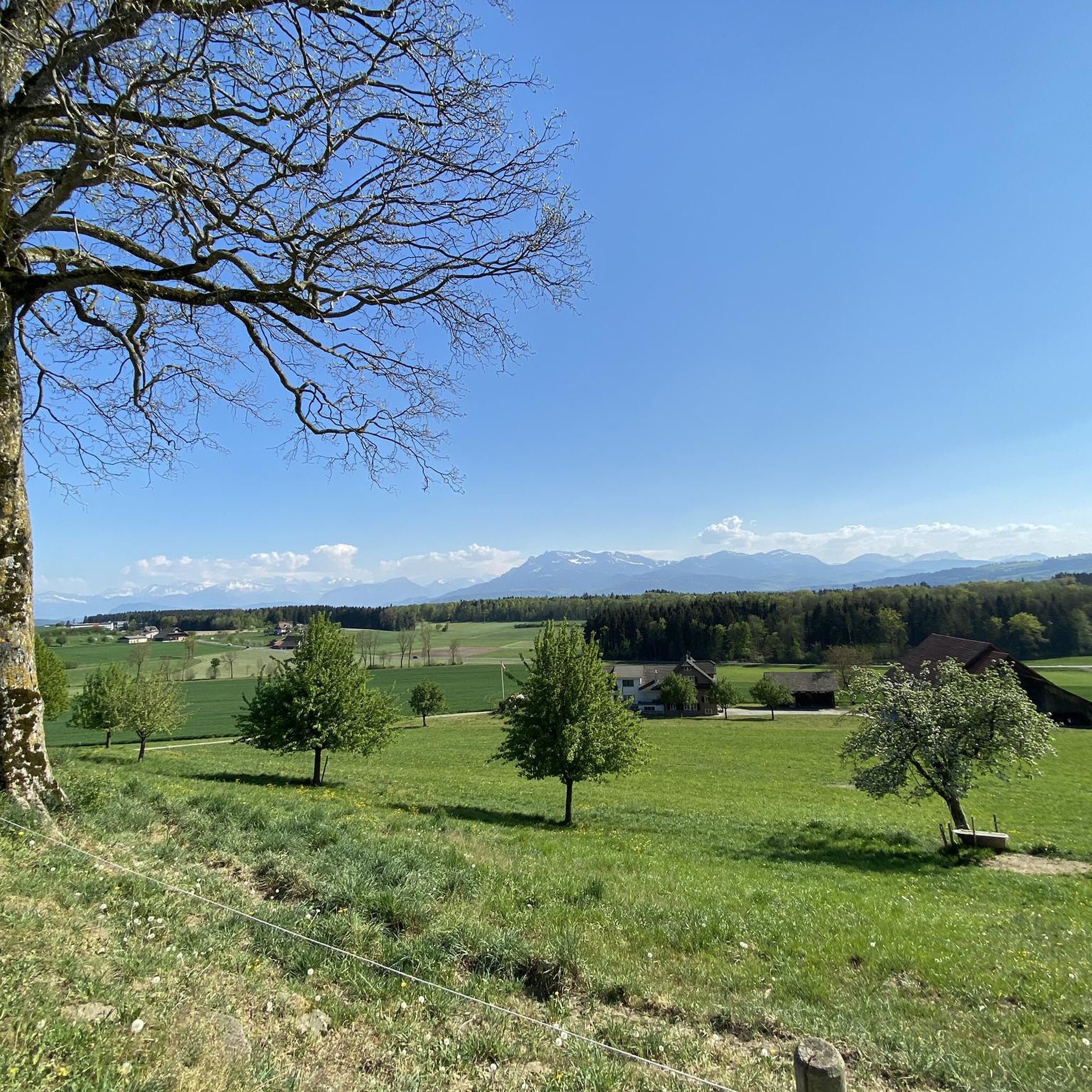
At approx. ~580 m above sea level M. above the 🌾 Hof Hinterfeld 🚜 at the Chüserainwald 🌲 between Rothenburg and Neuenkirch is this beautiful section of the path, where you can enjoy a wonderful Alpine panorama 🏔️ There is also a nice little bench there 😉
2
0
It is not certain when the St. Anna ⛪ chapel in Hapfig was built. Around 1656, however, it was largely rebuilt and during the renovation in 1856 it got its classicistic appearance. In 1977 it was extensively renovated and given to the "St. Anna im Hapfig Foundation". The chapel is in an elevated position above the Hapfig courtyard group. The lantern-like, curved roof turret with two bells (1565 and 1680) gives the building a splendid appearance. In the chapel there is an early Baroque altar with the Nazarene painting by Louis Niederberger (1821-1895) depicting St. Shows Anna with her daughter Maria. A special feature of the chapel is the "Vanitas picture" on the back wall. It admonishes the viewer that death 💀 spares neither the beautiful, the rich nor the poor and that after their earthly existence all people become equal.
2
0
Small forest with several bridges 🤩, a beautiful meandering stream 💧 and a small waterfall ... and great forest paths 🌲
1
0
Very quiet & idyllic location. Possible to jog from both sides. In addition, a barbecue area equipped with four brand new wooden furniture - highly recommended 👍
1
0
Until the end of the 19th century, ditches were drained and peat was extracted in the Turbenmoos and part of the Chüsenrain forest 🌲 in the Neuenkirch municipality. In 1995 the Canton of Lucerne developed a regeneration concept with the aim of returning the area to its original state. In general, ponds and waterlogged ditches have increased greatly; Rare and endangered marsh and silting plants, especially the dragon root (Calla palustris), spread and the water frog population 🐸 has multiplied. The forest has many paths that criss-cross. In addition, there are always beautiful figures and benches, as well as two rest areas with a grill. Highly recommended for walking, hiking, jogging, getting your head clear, just about everything ... 👌😀
2
0
Frequently Asked Questions
How many running routes are available around Rain?
There are nearly 40 running routes available around Rain, offering a variety of options for different preferences and fitness levels. These include easy, moderate, and some more challenging trails.
What kind of scenery can I expect on a run around Rain?
Running around Rain offers pleasant scenery characterized by its location on the River Lech, well-maintained city parks, and greenbelts. You'll find paths that follow the river, wind through parklands like Rain City Park, and feature gentle inclines and small hills, providing a tranquil environment for your run.
Are there many circular running routes in Rain?
Yes, many of the running routes in Rain are designed as loops, allowing you to start and finish in the same location. For example, the Unobstructed View of the Alps loop from Rain is a popular circular option, as is the longer Steinibühl Pond – Steinibühl Pond loop from Rain.
What do other runners say about the trails in Rain?
The running routes in Rain are highly rated by the komoot community, with an average score of 4.6 stars from over 20 reviews. Runners often praise the varied terrain, the pleasant park settings, and the opportunities to enjoy nature along the River Lech.
Are there any specific landmarks or points of interest to see while running near Rain?
While running near Rain, you can encounter several points of interest. Some routes might pass by historical sites such as the Johanniter Commandery Hohenrain or offer views towards castles like Wartensee Castle. The town's parks, including Rain City Park and Dehner Flower Park, also provide scenic spots.
Can I find routes with varied terrain or elevation changes?
Yes, Rain offers a mix of terrain. While many routes feature flat riverside paths and park trails, you can also find options with gentle hills and varied surfaces. For instance, the Schlössli Rain – Unobstructed View of the Alps loop from Rain includes some elevation, providing a more dynamic running experience.
Are the running routes in Rain suitable for families?
Many of the routes in Rain are suitable for families, especially those that are easy or moderate in difficulty and pass through parks or along the river. The well-maintained paths and pleasant green spaces make for an enjoyable outing for all ages. Always check the route details for specific suitability.
Can I bring my dog on the running trails in Rain?
Generally, dogs are welcome on many of the outdoor trails around Rain, particularly on paths through natural areas and along the River Lech. However, it's always advisable to keep your dog on a leash, especially in populated areas or nature reserves, and to respect local regulations regarding pets in parks and public spaces.
Is there parking available near the running trails?
Yes, parking is typically available in and around Rain, especially near the town's parks and starting points for various routes. Specific parking information can often be found in the details of individual komoot tours, helping you plan your run conveniently.
How accessible are the running routes by public transport?
Rain am Lech is generally accessible by public transport, and many running routes can be reached from central locations within the town. While specific bus stops or train stations might not be directly at every trailhead, most starting points are within a reasonable walking distance from public transport links in Rain.
What's the best time of year to go running in Rain?
The best time to go running in Rain is generally during the spring, summer, and early autumn months (April to October). During these periods, the weather is usually mild and pleasant, and the parks and riverside areas are at their most vibrant. Spring and summer showcase Rain's renowned floral beauty, making for particularly scenic runs.
Are there any longer running routes for more experienced runners?
Yes, for those looking for a longer challenge, Rain offers routes like the St. Anna Chapel – Schlössli Rain loop from Rain, which covers over 12 kilometers. These longer routes often feature more varied terrain and can provide a good workout for experienced runners.
Most popular attractions around Rain

Get inspired with the komoot mobile app


Explore more
Browse the best Running Trails & Routes in other regions.
