The best running trails around Le Claux
5.0
(2)
374
runners
23
runs
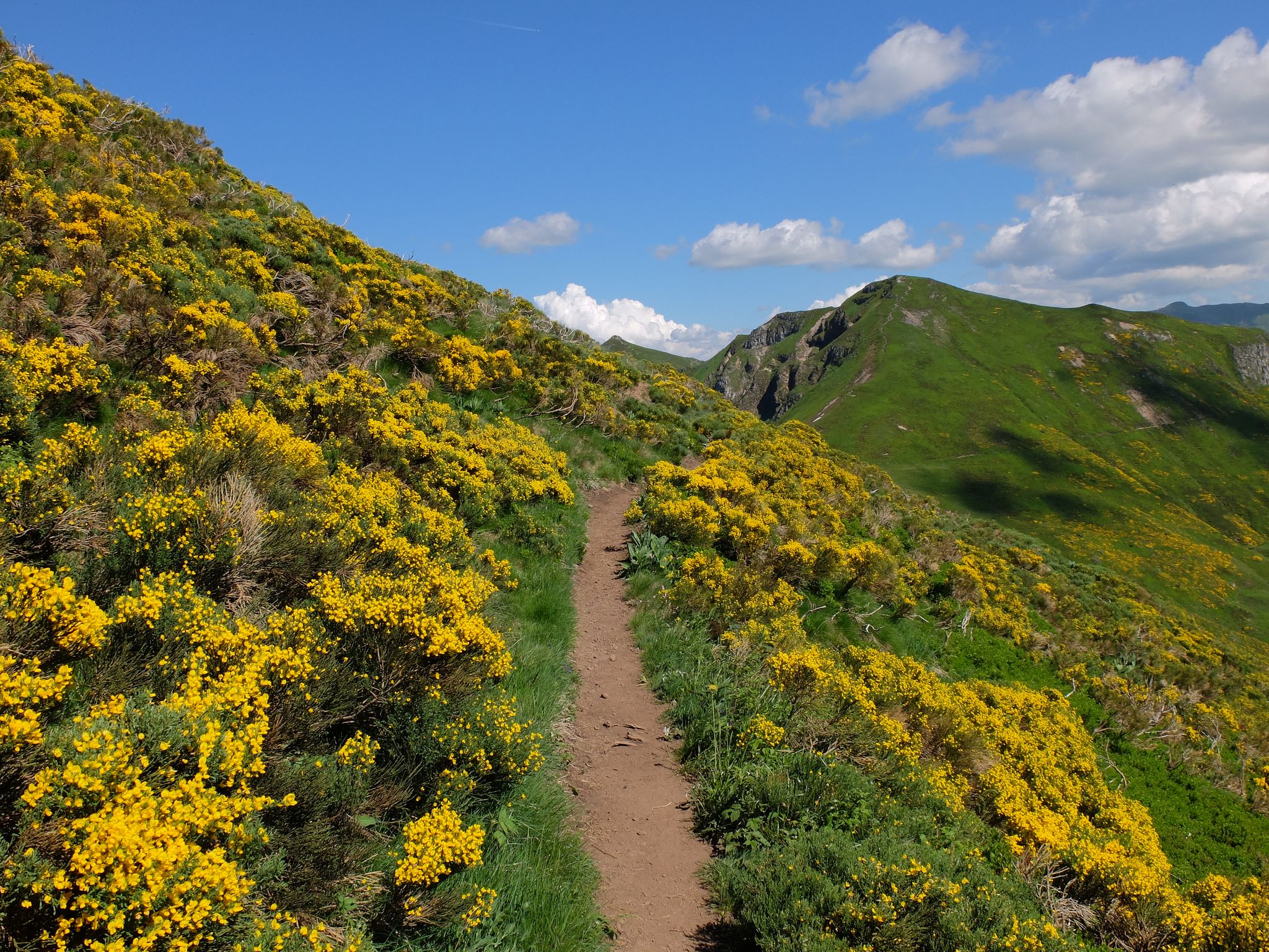
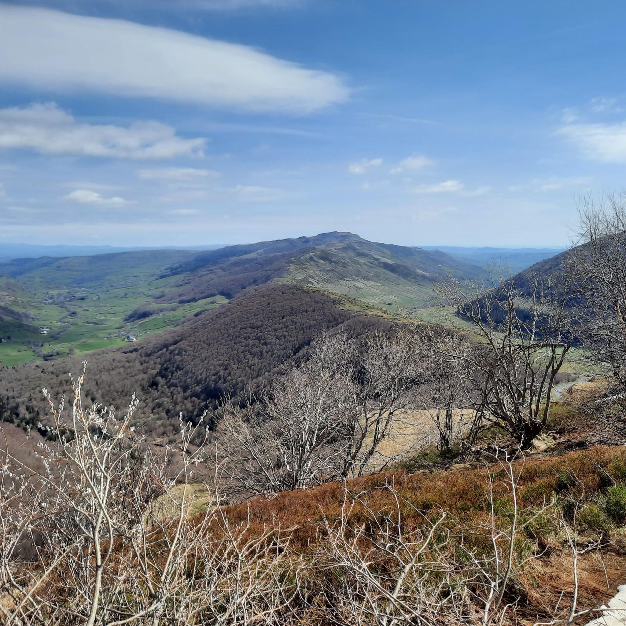
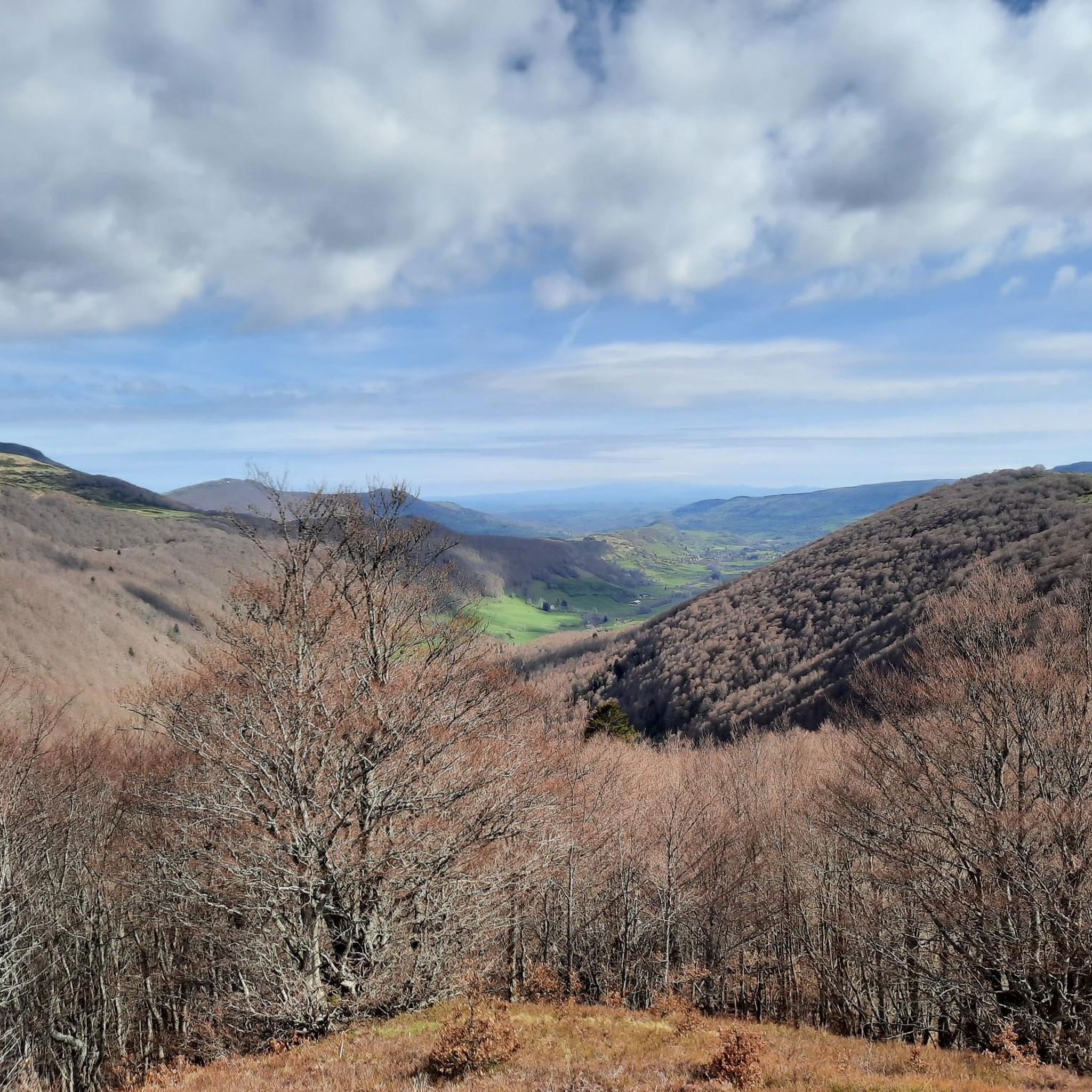
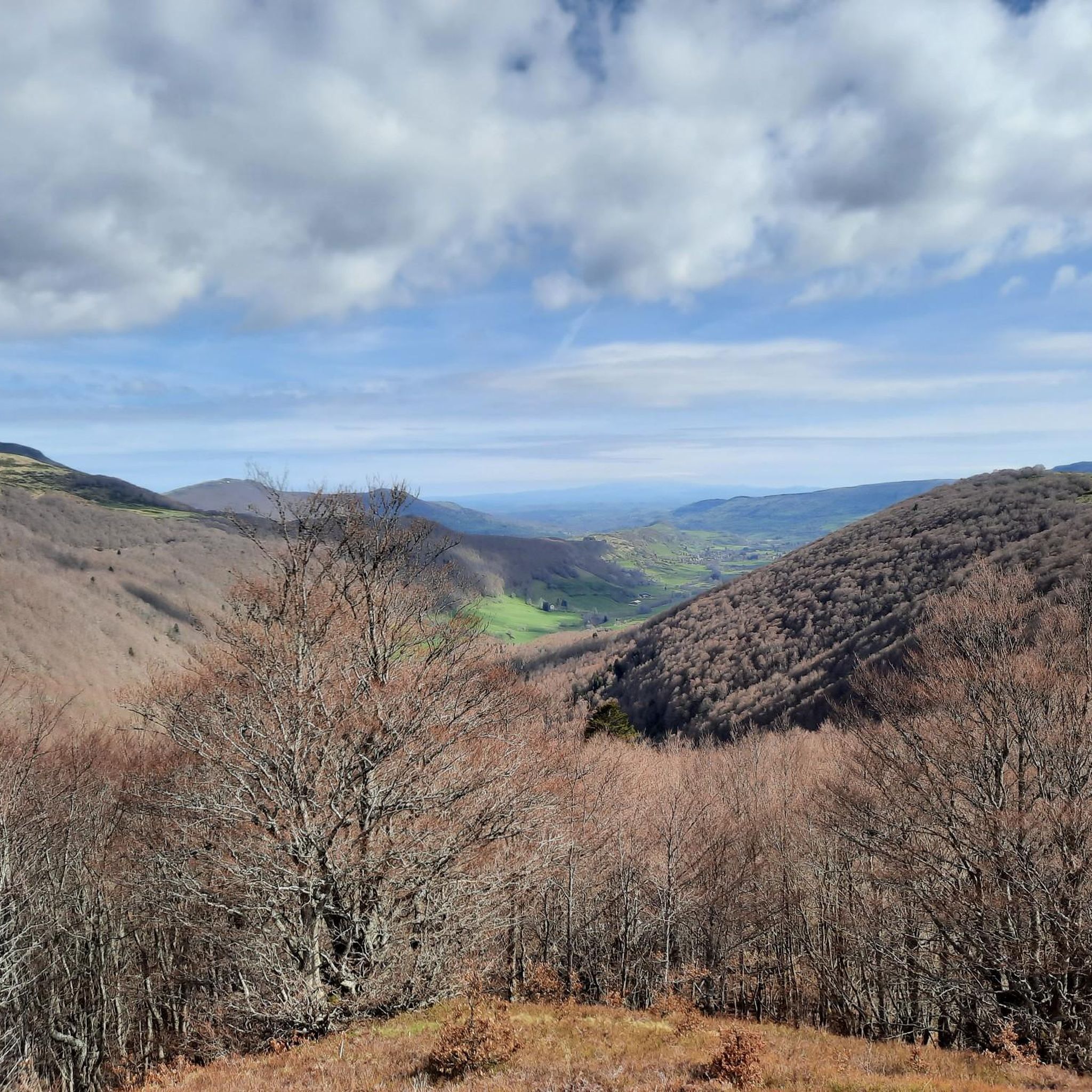
Jogging routes around Le Claux are situated in the Cantal department of France's Auvergne-Rhône-Alpes region, at an altitude of 1,050 meters within the Petite Rhue valley. The area is characterized by its volcanic origins, offering diverse terrain including the Monts du Cantal and the prominent Puy Mary. Runners can explore a network of trails through flower-filled meadows, shaded beech forests, and along open ridges, with views of glacial valleys and dramatic peaks.
Best jogging routes around Le Claux
- The most…
Last updated: October 10, 2026
51
runners
9.53km
01:33
500m
500m
Hard run. Very good fitness required. Sure-footedness, sturdy shoes and alpine experience required.
27
runners
10.6km
01:29
430m
430m
Hard run. Very good fitness required. Sure-footedness, sturdy shoes and alpine experience required.

5.0
(1)
45
runners
17.7km
02:46
730m
730m
Hard run. Very good fitness required. Sure-footedness, sturdy shoes and alpine experience required.
35
runners
7.60km
01:19
480m
480m
Hard run. Very good fitness required. Sure-footedness, sturdy shoes and alpine experience required.
31
runners
13.2km
02:02
610m
610m
Hard run. Very good fitness required. Sure-footedness, sturdy shoes and alpine experience required.
Get access to more routes and recommendations from other explorers.
Already have an account?
Our route recommendations are based on thousands of hikes, rides, and runs completed by other people on komoot.
Start today with a free account
Your next adventure awaits.


Other adventures around Le Claux

Tips from the Community

Superb and eating at the buron moved
0
0

The Rolland Breach was mildly challenging for this 72yo when dry. Descending in the wet would need good grippy footwear. There is an alternative GR400 track bypass
0
0


Here begin the characteristic steps that allow access to the Puy Mary. The result is a beautiful perspective of this emblematic summit of the Cantal mountains.
1
0
The Haut-Cantal Puy Mary Nordic area offers more than 60 kilometres of snowshoe and cross-country ski trails. The area is accessible via two gateways: Lascourt and the Col de Serre, here at an altitude of 1,200 metres.
0
0

At an altitude of 1,588 meters, the Pas de Peyrol is located between the Puy Mary and the Puy de la Tourte. It is known to be the highest road pass in the Massif Central and is worth it, because the last few kilometers have high percentages. There you can admire Puy Mary which peaks at an altitude of 1,783 metres. It is one of the peaks of the Cantal mountains. It is easily recognizable with its pyramidal silhouette.
1
0
Frequently Asked Questions
How many running routes are available around Le Claux?
Le Claux offers a selection of 18 running routes, catering to various fitness levels. These trails allow you to explore the diverse volcanic landscapes of the region.
Are there any running routes suitable for beginners or those looking for a moderate challenge?
While many routes in Le Claux are rated as difficult, there are 7 moderate running trails available. These provide a good option for less experienced runners or those seeking a less strenuous workout amidst the beautiful scenery.
What kind of natural features can I expect to see while jogging in Le Claux?
The region around Le Claux is rich in natural beauty, characterized by its volcanic origins. You'll encounter breathtaking views of the Monts du Cantal, glacial valleys, and diverse forests including beech woods. Notable features include the majestic Puy Mary Summit, the picturesque Petite Rhue Valley, and the dramatic Gorges de la Rhue. You might also discover waterfalls like the Sartre and La Roche, nestled within mossy forests.
Are there any circular running routes in Le Claux?
Yes, many of the running routes around Le Claux are circular, offering varied scenery without retracing your steps. For example, the Puy Mary and Puy Peyre-Arse via Brèche de Roland Loop is a popular circular option, providing stunning views of the volcanic landscape.
Can I find routes that are around 10 km (6 miles) in length?
Absolutely. Several routes in Le Claux are approximately 10 km long. The Les Chamois Trail is a challenging 10.6 km (6.6 miles) path offering views of the Puy Mary Summit. Another option is the Puy Mary and Puy Peyre-Arse via Brèche de Roland Loop, which is 9.5 km (5.9 miles).
What do other runners enjoy most about jogging in Le Claux?
The running routes in Le Claux are highly rated by the komoot community, with an average score of 5.0 stars. Runners often praise the diverse terrain, from flower-filled meadows to shady beech forests, and the spectacular views of the volcanic peaks and glacial valleys.
Are there any specific landmarks or points of interest I can see along the running trails?
Yes, the routes often pass by significant landmarks. You can expect to see the iconic Puy Mary Summit, the Roland's Breach, and the Puy Peyre-Arse. The Puy Mary Summit – Pas de Peyrol and Puy Mary loop from Col de Serre, for instance, takes you past several of these impressive natural monuments.
Are there any challenging or advanced running routes for experienced runners?
Le Claux is an excellent destination for experienced runners, with 11 difficult routes available. Trails like the Buron d'Eylac – Col de Serres (Serres Pass) loop from Col de Serre, which covers over 16 km with significant elevation gain, offer a substantial challenge. The region's volcanic terrain provides plenty of opportunities for demanding ascents and descents.
What is the best time of year for running in Le Claux?
The region offers diverse experiences throughout the year. Spring and summer provide flower-filled meadows and pleasant temperatures for running through shady woods. Autumn brings beautiful foliage to the beech forests. While winter offers opportunities for snow activities, some higher-altitude trails might be less accessible for running due to snow and ice. Always check local conditions before heading out.
Are there any routes that offer panoramic viewpoints?
Many routes in Le Claux are renowned for their panoramic views. The Les Chamois Trail provides stunning vistas of the Puy Mary Summit. The climb to Col de Serre also offers magnificent views over the Cheylade valley and neighboring peaks, rewarding runners with expansive landscapes.
Can I combine running with exploring other parts of the Parc Naturel Régional des Volcans d'Auvergne?
Absolutely. Le Claux is situated within the Parc Naturel Régional des Volcans d'Auvergne, and many running routes, such as the Les Chamois Trail, are located within the park. This allows you to seamlessly integrate your run with exploring the wider natural park and its unique volcanic landscapes.
Are there any routes that pass by waterfalls?
Yes, the region is home to several beautiful waterfalls. The Sartre and La Roche waterfalls, nestled between mossy forests and sculpted rocks, add to the natural beauty. While specific running routes directly passing them aren't detailed in the guide, the general area offers opportunities to explore these natural wonders.
Most popular routes around Le Claux
Most popular attractions around Le Claux

Get inspired with the komoot mobile app


Explore more
Browse the best Running Trails & Routes in other regions.
