The best running trails around Villers-Saint-Frambourg
4.2
(66)
4,591
runners
374
runs
Jogging around Villers-Saint-Frambourg offers access to diverse natural landscapes, primarily centered around the Forest of Halatte. The region features varied terrain, including forest trails, rural paths, and sections of paved forest roads. Mont Pagnotte, the highest point in the Oise at 220 meters, provides elevation changes for runners. This area is part of the Oise Regional Nature Park - Pays de France, ensuring well-maintained and accessible outdoor spaces.
Best jogging routes around Villers-Saint-Frambourg
- The most popular jogging route is Mont…
Last updated: July 7, 2026
5.0
(1)
9
runners
11.3km
01:21
190m
190m
This moderate 7.0-mile jogging loop from Villers-Saint-Frambourg offers forest paths, panoramic views from Mont Pagnotte, and varied terrain
137
runners
28.5km
03:23
460m
460m
Hard run. Very good fitness required. Mostly paved surfaces. Suitable for all skill levels.

Sign up for free
4.0
(2)
63
runners
Hard run. Very good fitness required. Mostly paved surfaces. Suitable for all skill levels.
45
runners
19.2km
02:17
320m
320m
Hard run. Very good fitness required. Mostly paved surfaces. Suitable for all skill levels.
31
runners
11.8km
01:24
130m
130m
Moderate run. Good fitness required. Mostly paved surfaces. Suitable for all skill levels.
Get access to more routes and recommendations from other explorers.
Sign up for free
Already have an account?
Our route recommendations are based on thousands of hikes, rides, and runs completed by other people on komoot.
Start today with a free account
Your next adventure awaits.
Login or Signup
Tips from the Community

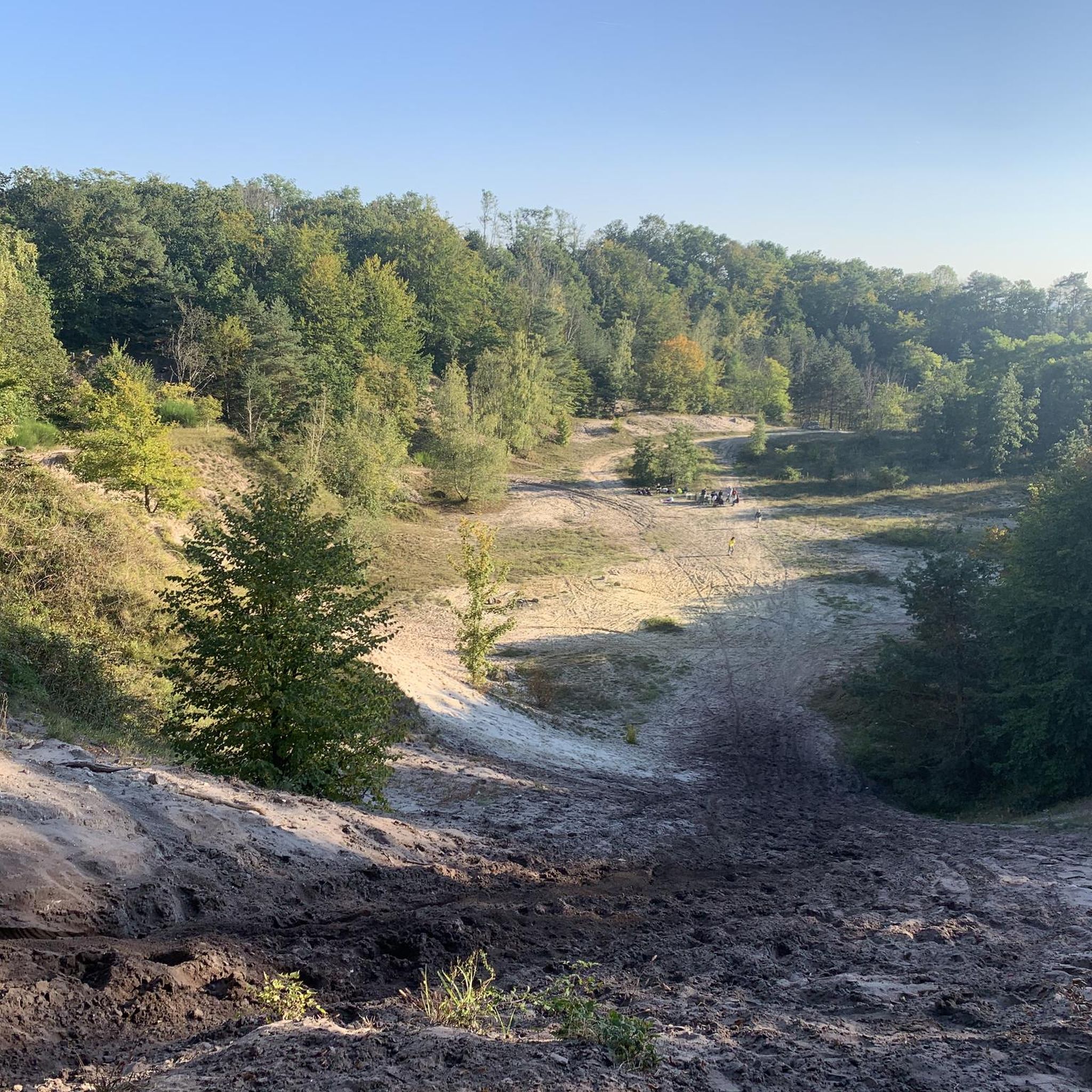
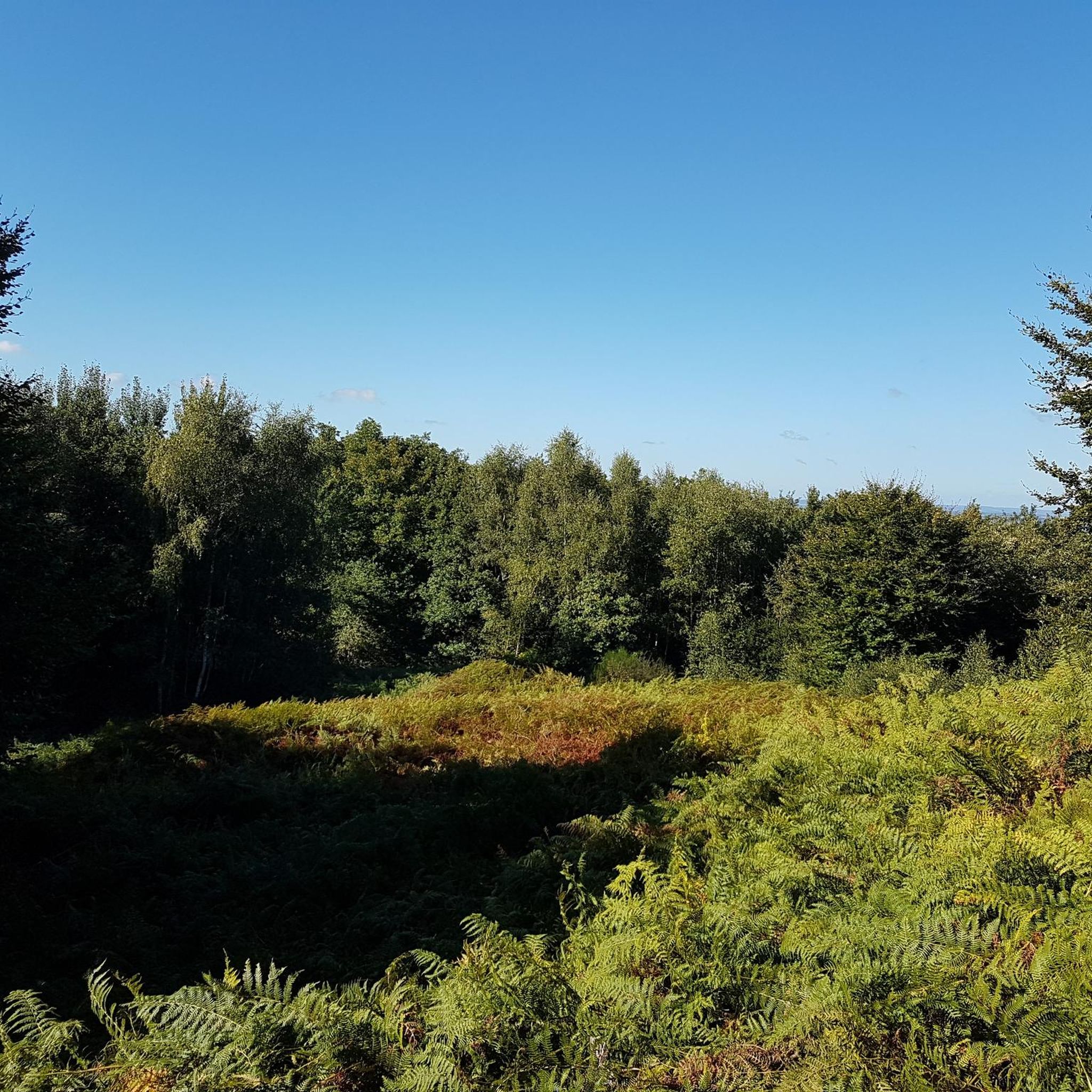
The orientation table that previously existed and the wooden terrace have been removed. The trees have grown, making the view non-existent. Before, on a clear day, it was possible to make out the Eiffel Tower.
1
0

Gallo-Roman site to see while enjoying the Halatte forest
1
0


This obelisk was built in 1811 to commemorate the birth of the son of Napoleon I and Marie-Louise of Austria, made king of Rome by his father to defy Pope Pius VII. Why here and by whom? We don't know anything about it. This tribute was perhaps paid to Napoleon for the relaunch of healthy management of the Halatte forest after a period of abandonment following the revolution of 1789. In any case, he met his future wife Marie-Louise d'Halatte. Austria, nearby, at the castle of Compiègne where he installed his son the king of Rome.
0
0
In the middle of the halate forest the last 500 meters no bitumen
0
0

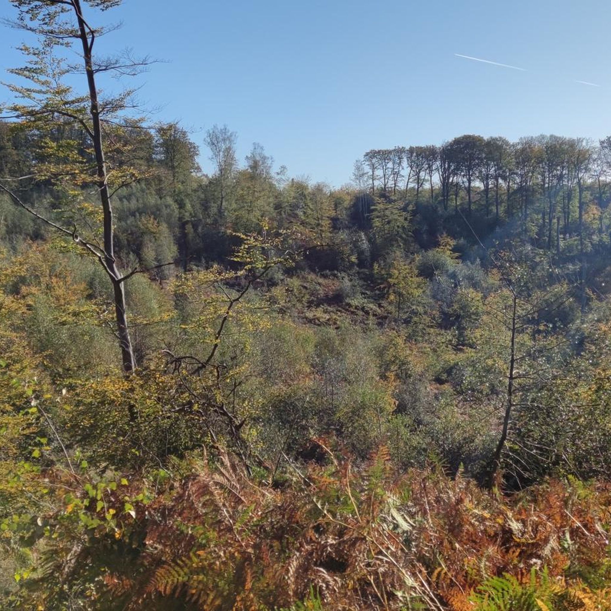
Mont Pagnotte is the highest point in Valois and one of the highest in the Paris region, with an altitude of 222 meters. It was also an ancient Celtic and Gallo-Roman colony, of which you can still see some ruins along the way. The trail passes through the magnificent Halatte forest, where you can appreciate the diversity of trees and wildlife. From the summit of Mont Pagnotte, you can admire a panoramic view of the forest and the surrounding countryside. It's the perfect place for a run to escape the city.
3
0
The remains of a Gallo-Roman temple dedicated to healing and built by a Gallic tribe, the Sulbanectes, in the middle of the 1st century AD. You can admire the ex-votos, coins, vases and fibulae discovered during excavations at the Senlis art and archeology museum. The temple is hidden in the bushes, so you have to follow a forest path to reach it. It is a unique and fascinating site that will take you back in time.
2
0
Mont Pagnotte is the highest point in Valois and one of the highest in the Paris region, with an altitude of 222 meters. It was also an ancient Celtic and Gallo-Roman colony, of which you can still see some ruins along the way. The trail takes you through the magnificent Halatte Forest, where you can appreciate the diversity of trees and wildlife. From the summit of Mont Pagnotte, you can admire a panoramic view of the forest and the surrounding countryside. This is an ideal hike for a family outing or to escape the city.
2
0
Frequently Asked Questions
How many running routes are available around Villers-Saint-Frambourg?
There are over 360 running routes around Villers-Saint-Frambourg, offering a wide variety of options for all skill levels. This includes 30 easy routes, 271 moderate routes, and 62 difficult routes.
What kind of terrain can I expect on the running trails in this area?
The terrain around Villers-Saint-Frambourg is diverse, primarily featuring extensive forest trails and rural paths within the Forest of Halatte. You'll encounter both paved forest roads and dirt paths, especially on routes around Mont Pagnotte, which is the highest point in the Oise.
Are there any easy or beginner-friendly running routes?
Yes, there are 30 easy running routes available. While specific beginner routes aren't highlighted, the annual 'Les Foulées de Villers' event includes a 7 km eco-trail that is considered 'more accessible but equally pleasant with 130 meters of elevation', suggesting similar options exist within the Forest of Halatte.
What are the elevation challenges like on the running trails?
The area offers varied elevation. Routes around Mont Pagnotte, such as the Mont Pagnotte Loop from Villers-Saint-Frambourg, feature moderate slopes with around 190 meters of elevation gain. For more demanding experiences, trails like the Mont Pagnotte viewpoint – King of Rome Obelisk loop from Fleurines can include significant elevation changes, up to 460 meters.
Are there any circular running routes in the region?
Yes, many of the running routes in the area are circular. For example, the Mont Pagnotte – Mont Pagnotte viewpoint loop from Villers-Saint-Frambourg-Ognon is a popular 18.6 km loop that takes you through the Mont Pagnotte area.
What landmarks or scenic spots can I see along the running routes?
Many routes offer scenic views and pass by interesting landmarks. You can enjoy views from the Mont Pagnotte viewpoint, or encounter historical sites like the King of Rome Obelisk. The extensive Forest of Halatte itself provides a beautiful natural backdrop for your runs.
What do other runners say about the trails in Villers-Saint-Frambourg?
The running routes in Villers-Saint-Frambourg are highly rated by the komoot community, with an average score of 4.1 stars from over 60 reviews. Runners often praise the varied terrain, the natural beauty of the Forest of Halatte, and the well-maintained paths that cater to different fitness levels.
Are the running trails suitable for families?
While specific family-friendly routes are not detailed, the presence of 30 easy routes suggests there are options suitable for families looking for less strenuous runs. The natural setting of the Oise Regional Nature Park - Pays de France generally offers accessible outdoor spaces.
Is it possible to run with dogs on the trails?
The Forest of Halatte, which hosts many of the running trails, is a natural area. While specific dog leash rules are not provided, it's generally advisable to keep dogs on a leash to protect wildlife and ensure a pleasant experience for all users of the trails.
Are there any longer, more challenging routes for experienced trail runners?
Absolutely. For experienced trail runners, there are 62 difficult routes available. The Croix Saint-Rieul – Mont Pagnotte loop from La Rue des Bois is a challenging 19.2 km route with over 320 meters of elevation gain. The annual 'Les Foulées de Villers' event also features a demanding 19 km trail with 600 meters of elevation change, indicating the presence of similarly challenging routes.
What is the best time of year for jogging in Villers-Saint-Frambourg?
The region's natural landscapes, particularly the Forest of Halatte, are appealing year-round. Spring and autumn offer pleasant temperatures and beautiful scenery with changing foliage. Summer provides longer daylight hours, while winter can offer a unique, tranquil experience, though conditions may vary.
Are there places to eat or stay near the running routes?
Villers-Saint-Frambourg and nearby villages offer options for cafes, restaurants, and accommodation. While specific establishments are not listed, the area is accustomed to visitors, especially given the annual running events, so you can find places to refuel and rest after your run.
Most popular routes around Villers-Saint-Frambourg
Most popular attractions around Villers-Saint-Frambourg

Get inspired with the komoot mobile app


Explore more
Browse the best Running Trails & Routes in other regions.
