The best road cycling routes around Alveslohe
4.4
(631)
6,756
riders
431
rides
Road cycling around Alveslohe is characterized by predominantly flat terrain, making it suitable for relaxed rides. The region features a network of routes that traverse open fields, forested areas like Tralauer Holz, and along waterways such as the Krückau and Pinnau rivers. Schleswig-Holstein, where Alveslohe is located, is known for its well-developed, mostly flat long-distance cycle routes. This environment provides a tranquil setting for exploring the landscape by road bike.
Best road cycling routes around Alveslohe
- The most popular road…
Last updated: July 4, 2026
4.0
(1)
20
riders
95.1km
04:15
350m
350m
Moderate road ride. Good fitness required. Mostly well-paved surfaces and easy to ride.
5.0
(1)
19
riders
40.0km
01:37
110m
110m
Easy road ride. Great for any fitness level. Mostly well-paved surfaces and easy to ride.

Sign up for free
5.0
(1)
15
riders
Moderate road ride. Good fitness required. Some segments of this route may be unpaved and difficult to ride.
4.5
(2)
14
riders
66.6km
02:58
190m
190m
Moderate road ride. Good fitness required. Some segments of this route may be unpaved and difficult to ride.
10
riders
Easy road ride. Great for any fitness level. Mostly well-paved surfaces and easy to ride.
Get access to more routes and recommendations from other explorers.
Sign up for free
Already have an account?
Our route recommendations are based on thousands of hikes, rides, and runs completed by other people on komoot.
Start today with a free account
Your next adventure awaits.
Login or Signup
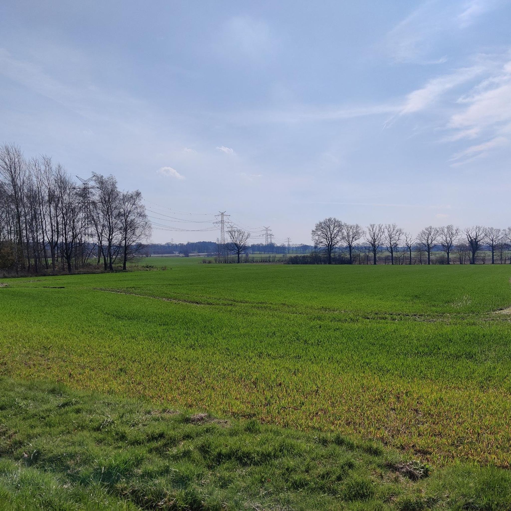
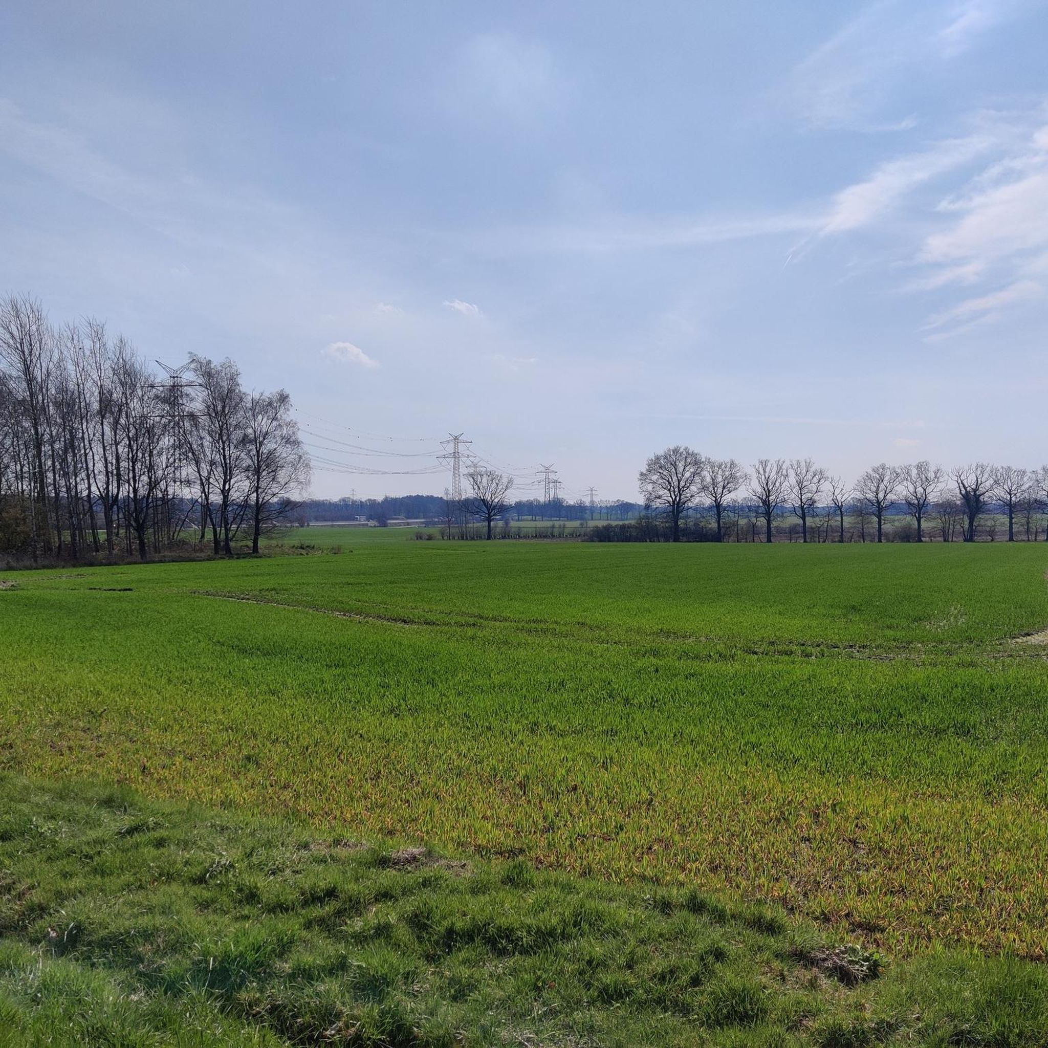

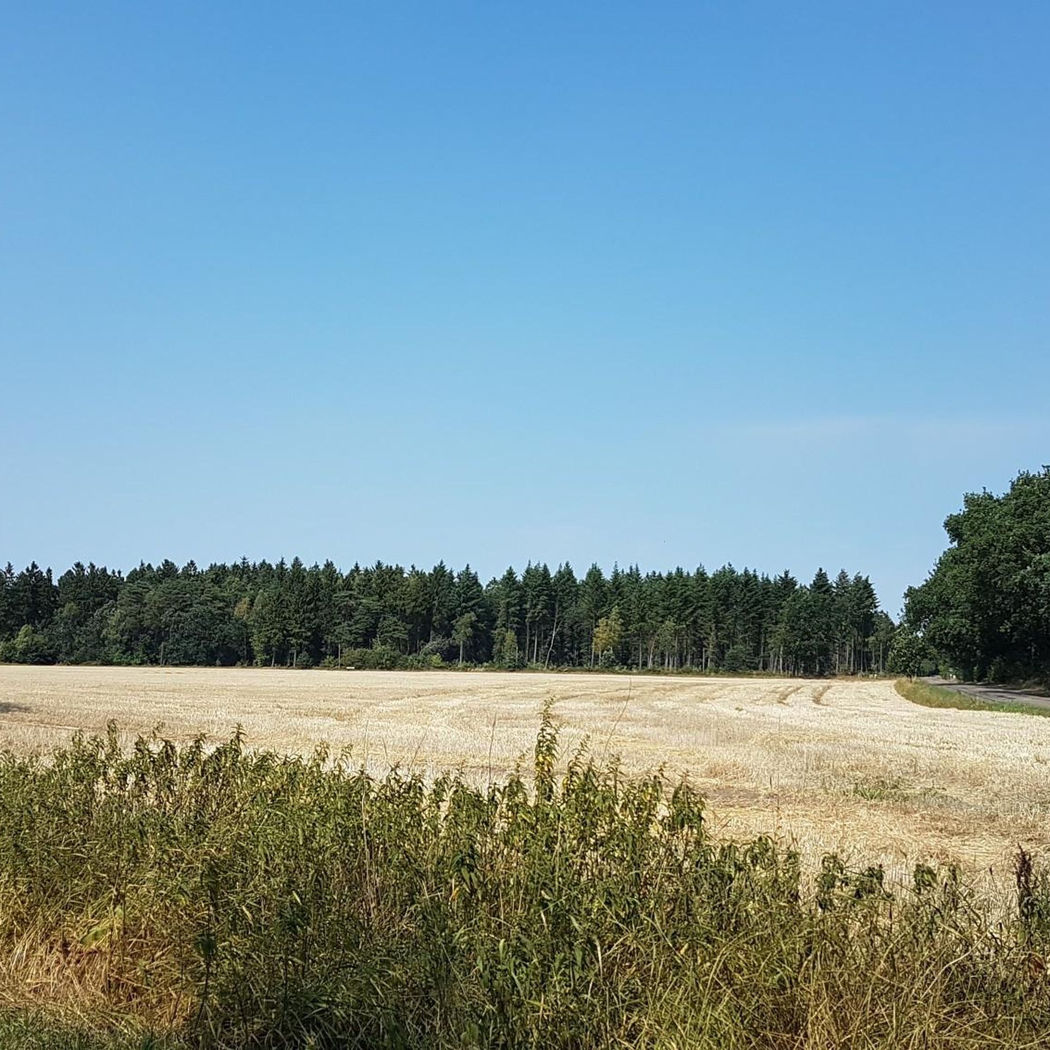
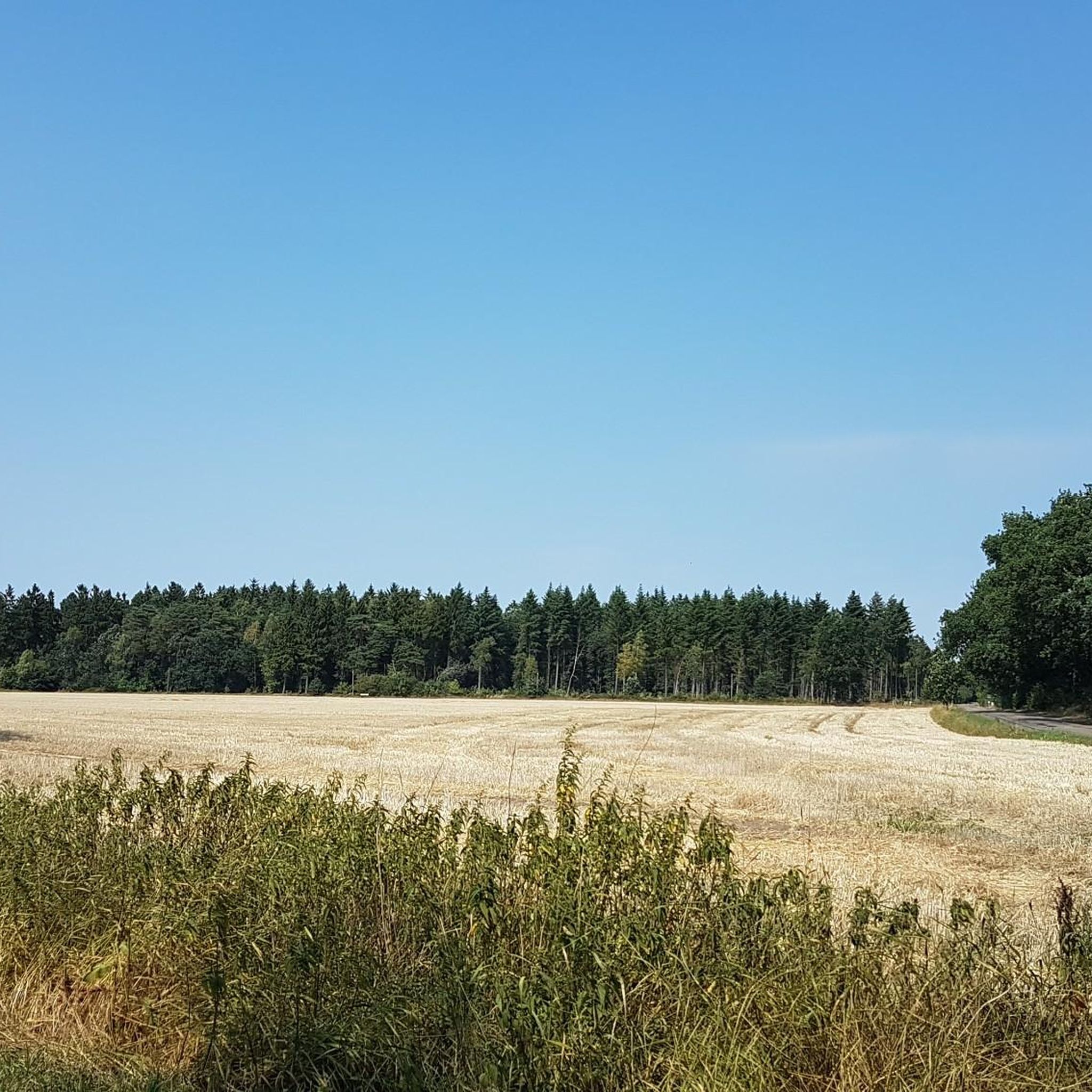
Tips from the Community

a very beautiful cycle path with lots of greenery and more birdsong than in the forest. Car noise can hardly be heard.
0
0

Roland is a symbol of market peace and the coat of arms and seal of the city of Wedel (Holstein). The Roland statue was probably first erected around 1450 by the sovereign of the County of Pinneberg, the Count of Schauenburg, and served as a symbol of his market justice, customs, warehousing, and ferry rights. The statue was replaced in 1558. The figure is made of solid Bückeburg sandstone and composed of 32 individual parts. It weighs approximately 8 tons. Over the centuries, the figure has been restored several times. To mark its 500th anniversary, the figure was thoroughly restored in 1950 and moved to its current location. Its original location was the center of the market square. The Roland statue was last restored in 2012, for the 800th anniversary of the city of Wedel. The color scheme was restored to its earliest known state. According to legend, Roland was a knight in the service of Emperor Charlemagne, who lived from 747 to 814. About the work: Statue of Roland von Wedel (1558, sandstone, restored 2012) Am Marktplatz, 22880 Wedel Route planner: 53.58393, 9.6978 https://sh-kunst.de/standbild-roland-von-wedel/
3
0

About 700 meters of gravel. Best avoided on a road bike!
1
0


Roland statues were erected in cities in the Middle Ages as a symbol of civil liberties. The statue in Wedel has stood in the city since the 16th century as a symbol of the granted trading and market rights associated with the Ox Market.
1
0
Roland statues were erected in cities in the Middle Ages as a symbol of civil liberties. The statue in Wedel has stood in the city since the 16th century as a symbol of the granted trading and market rights associated with the Ox Market.
1
0

Quickborn's Evangelical Lutheran St. Mary's Church is located right in the center of town at the intersection of Kieler Straße (Federal Highway 4) and Ellerauer Straße (State Highway 76). It is the oldest of five churches in Schleswig-Holstein built according to plans by Christian Frederik Hansen, one of the most important architects of the Neoclassical period. The first chapel for Quickborn dates back to 1323. At that time, Quickborn was part of the Rellingen parish. In 1589, the parish became independent and received its own church. This half-timbered church, enlarged in 1683, fell victim to a fire in 1759. Apparently only roughly repaired, it served the congregation as a place of worship until 1803. It was demolished in 1804. Construction of the Church The plans for the church were created by Christian Frederik Hansen, who designed it as a hall church with surrounding galleries. A tower was not initially planned; the church was only to have a turret with a single bell. Hansen thus oriented himself toward the preferred basic form for Neoclassical churches. His nephew, Johann Matthias Hansen, who was commissioned to supervise the construction, implemented these plans between 1807 and 1809. The church was consecrated on August 31, 1809. The interior is dominated by a total of 12 Doric columns on either side of the central aisle. These columns lead the viewer's gaze directly to the altar. After the Altona-Kieler Chaussee was completed in 1832, Quickborn experienced a strong economic boom, which improved the community's financial situation and increased the citizens' demands for prestigious buildings. To make the previously rather inconspicuous church more "visible" from the new traffic axis, it was expanded in 1863 with the addition of the present Neo-Romanesque tower. During the construction of the tower, changes were also made to the entrance area, which can still be seen today in the different ages of the brick flooring around the stairs to the gallery. The right side dates from the time of the first construction in 1809, the left side from the time of the tower construction.
1
0

It's a climb, but currently (May 2025) it's not suitable for racing bikes due to construction work for almost 1km. The asphalt surface no longer exists.
1
0
Frequently Asked Questions
What is the typical terrain like for road cycling around Alveslohe?
Road cycling around Alveslohe is characterized by predominantly flat terrain, making it ideal for relaxed rides without strenuous climbs. Routes often wind through open fields, tranquil forested areas like Tralauer Holz, and along picturesque waterways such as the Krückau and Pinnau rivers. Most surfaces are paved, accommodating cyclists of all skill levels.
How many road cycling routes are available in the Alveslohe area?
There are over 440 road cycling routes available around Alveslohe, offering a wide variety of options for different distances and preferences. These routes are highly rated by the komoot community, with an average score of 4.5 stars.
Are there road cycling routes suitable for beginners in Alveslohe?
Yes, Alveslohe offers numerous road cycling routes suitable for beginners. Approximately 138 routes are classified as easy, providing gentle gradients and manageable distances. An excellent option for an easy ride is the Quiet side road – Heidmoor Road Cycling Route loop from Ulzburg Süd, which covers about 40 km through quiet areas.
What natural features can I expect to see along road cycling routes in Alveslohe?
Alveslohe's road cycling routes showcase a tranquil, rural environment. You'll encounter scenic rivers and waterways like the Krückau and Pinnau, expansive open fields, and forested areas such as Tralauer Holz. The nearby Himmelmoor, a significant raised bog, also offers unique natural beauty, including an educational trail and opportunities for wildlife observation. You can explore the Himmelmoor Nature Reserve or the Boardwalk Through Himmelmoor.
Are there any notable landmarks or points of interest along the road cycling routes?
Yes, several routes pass by interesting landmarks. For example, you might encounter the historic Wulfsmühle and the Lake, which is also a restaurant. The region also features protected individual trees and communal areas like Lunapark with its alder carr forest. For panoramic views, consider visiting the Kleiner Knust Viewing Platform (Himmelmoor).
What is the best time of year for road cycling in Alveslohe?
The best time for road cycling in Alveslohe is typically from spring through early autumn (April to October). During these months, the weather is generally mild and pleasant, and the natural landscapes are at their most vibrant. The predominantly flat terrain makes it enjoyable even on cooler days, but always check local weather forecasts.
Are there circular road cycling routes available in Alveslohe?
Yes, many road cycling routes around Alveslohe are designed as loops, allowing you to start and end at the same point. An example is the Heidmoor Road Cycling Route – River View in Naturpark Aukrug loop from Alveslohe, a moderate 95 km route offering river views. Another is the Wulfsmühle – At Heilingermoor Airfield loop from Ulzburg Süd.
Is Alveslohe a good destination for family-friendly road cycling?
Alveslohe is well-suited for family-friendly road cycling due to its predominantly flat terrain and network of paved routes. Many easy and moderate routes traverse quiet country roads and scenic paths, making them safe and enjoyable for families. The absence of significant climbs ensures a relaxed experience for all ages.
Where can I find parking for road cycling routes in Alveslohe?
While specific parking areas for each route are not detailed, Alveslohe, as a village, generally offers public parking options. For routes starting from Ulzburg Süd, you would typically find parking in or around that area. It's advisable to check local parking regulations upon arrival or use navigation apps to locate suitable parking near your chosen starting point.
Can I reach road cycling routes in Alveslohe using public transport?
Yes, Alveslohe and nearby towns like Ulzburg Süd are connected by public transport, primarily regional trains and buses. You can often reach starting points of routes, such as those originating from Ulzburg Süd, via these services. Check local public transport schedules for the most convenient connections to your desired route.
What do other road cyclists enjoy most about road cycling in Alveslohe?
The komoot community highly rates road cycling in Alveslohe, with an average score of 4.5 stars from over 590 reviews. Cyclists often praise the region's predominantly flat and varied terrain, which combines open fields, forests, and river views. The well-developed network of routes and the tranquil, natural setting are frequently highlighted as key attractions.
Are there options for longer distance road cycling in the region?
Yes, Alveslohe is located in Schleswig-Holstein, a region known for its well-developed, mostly flat long-distance cycle routes. This makes it an excellent base for exploring the wider area by bike. For example, the Heidmoor Road Cycling Route – River View in Naturpark Aukrug loop from Alveslohe is a substantial 95 km ride. You can find more information on long-distance routes in Schleswig-Holstein at sh-tourismus.de.
Most popular attractions around Alveslohe

Get inspired with the komoot mobile app


Explore more
Browse the best Road cycling routes in other regions.
