The best running trails around Saint-Gaudéric
4.5
(4)
281
runners
48
runs
Jogging routes Saint-Gaudéric offer diverse and unspoiled natural landscapes within the Aude department of southern France. The commune features elevations ranging from 318 to 451 meters, providing varied terrain suitable for different fitness levels. The area is characterized by undulating hills, rural tracks, and the Vixiège river, which contribute to scenic running experiences. This natural setting, part of the broader Cathar hills, includes three natural areas of ecological interest.
Best jogging routes around Saint-Gaudéric
- The most popular jogging route is…
Last updated: October 7, 2026
13
runners
7.94km
00:52
110m
110m
Moderate run. Good fitness required. Mostly paved surfaces. Suitable for all skill levels.
4
runners
9.09km
01:08
190m
190m
Moderate run. Good fitness required. Mostly paved surfaces. Suitable for all skill levels.

3
runners
7.93km
00:55
140m
140m
Moderate run. Good fitness required. Mostly accessible paths. Some sure footedness required.
8
runners
7.05km
00:46
120m
120m
Moderate run. Good fitness required. Mostly paved surfaces. Suitable for all skill levels.
5.0
(1)
5
runners
5.92km
00:42
110m
110m
Moderate run. Good fitness required. Mostly paved surfaces. Suitable for all skill levels.
Get access to more routes and recommendations from other explorers.
Already have an account?
Our route recommendations are based on thousands of hikes, rides, and runs completed by other people on komoot.
Start today with a free account
Your next adventure awaits.
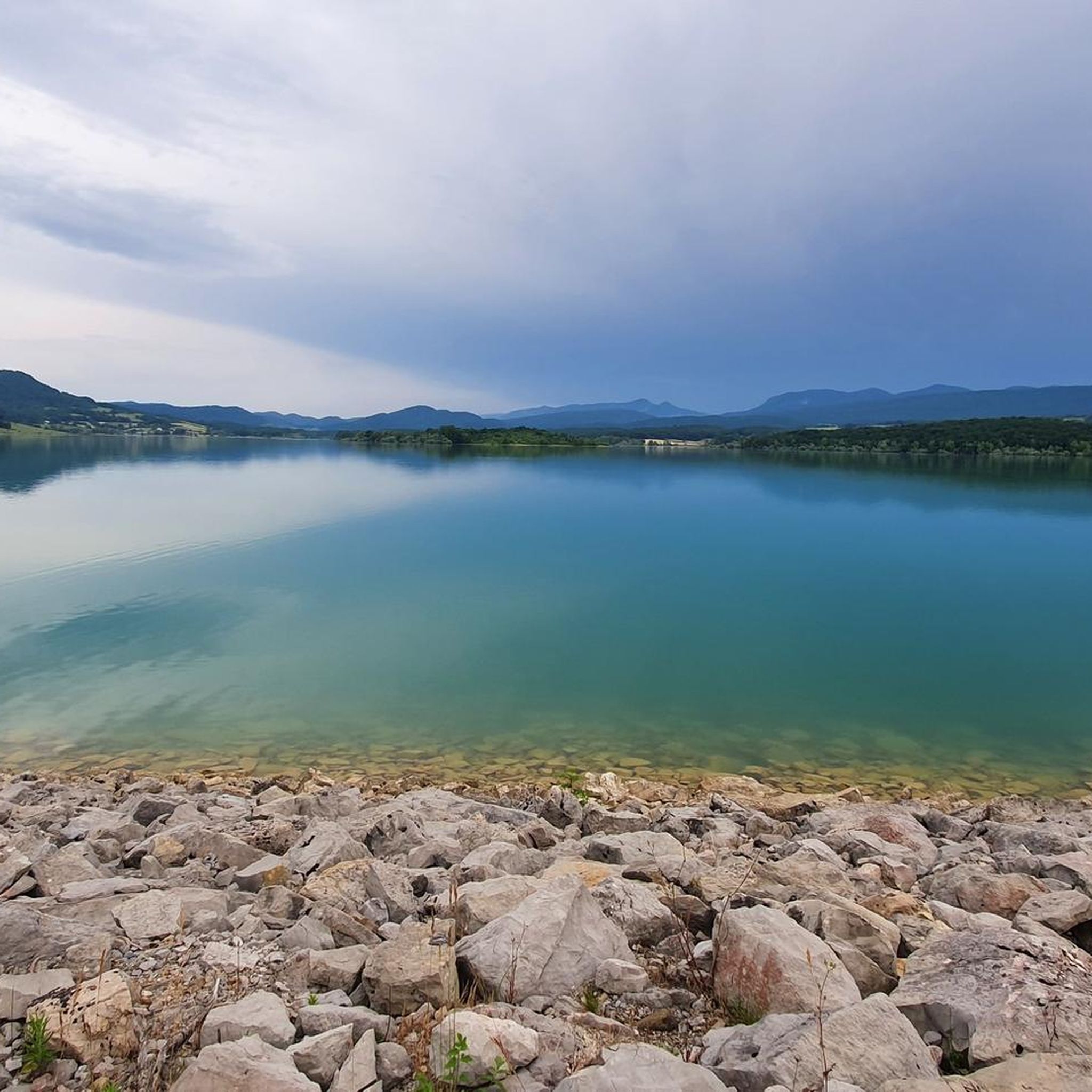

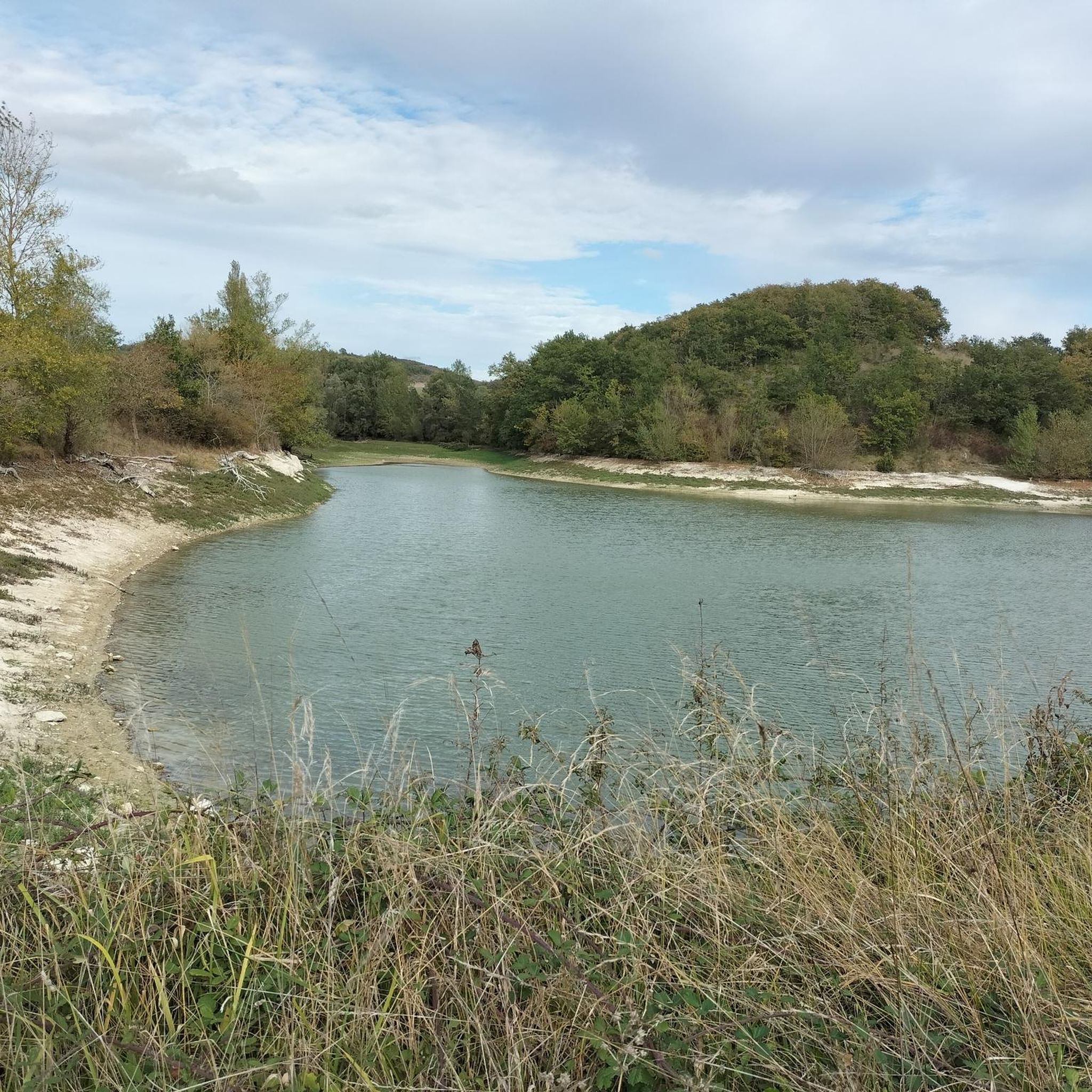
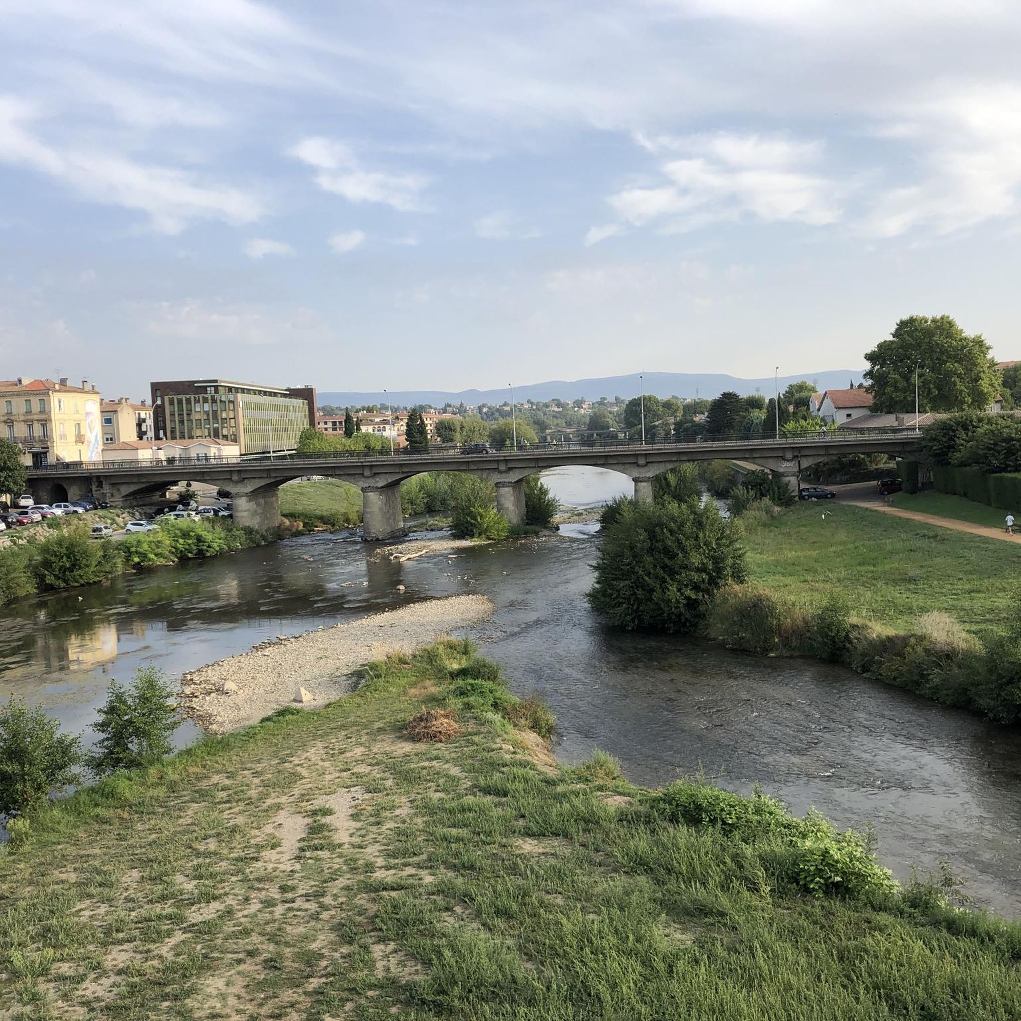

Tips from the Community

Gain a little altitude! This panoramic viewpoint offers a breathtaking perspective on the tiled roofs of the famous medieval bastide of Mirepoix. From this promontory, the massive silhouette of the Saint-Maurice cathedral and the typical geometric structure of the town can be perfectly distinguished. In clear weather, the view majestically extends southwards over the Pyrenees mountain range. It's the perfect spot for a photo break or picnic before descending to explore the famous wooden covered walkways of the central square.
1
0

Pretty little belvedere overlooking the town of Mirepoix. There is an orientation table which details the panorama. A little upstream there is also a beautiful and old cross.
3
1

This magnificent fountain with a carved stone arch at the entrance and entirely in stone inside is located under the Château de Terride on the north/west side. I know that in this sector there is the fountain of the Cordeliers I do not know if it is that there. After research on the internet it is indeed the CORDELIERS fountain.
2
0
The path leading to Chemin de Bastonis and further Chemin de Larché. At the top of this path is a cross with a slate bearing the words of a song.
2
0
This pump is placed on a well and above a water trough for livestock. It is located on the Bastonis path below the Terride castle on the north side. You can also see the Croix de Terrisse overlooking Mirepoix, and on the ridge the Bastonis estate.
3
0
In the background, on a clear day, you can see the Pyrenees mountain range.
2
0
Frequently Asked Questions
How many running routes are available in Saint-Gaudéric?
Saint-Gaudéric offers a good selection of running routes, with over 50 trails to explore. These range from easy paths to more challenging long-distance runs, catering to various fitness levels.
Are there any easy jogging routes suitable for beginners or families in Saint-Gaudéric?
Yes, Saint-Gaudéric has a few easy jogging routes perfect for beginners or families. While most routes are moderate, you can find options that provide a gentle introduction to the local countryside. The area's rolling terrain means even easier routes might have slight inclines, offering a pleasant workout without being overly strenuous.
What kind of terrain can I expect on the jogging trails around Saint-Gaudéric?
The jogging trails in Saint-Gaudéric are characterized by diverse terrain. You'll encounter undulating hills, rural tracks, and paths alongside small waterways like the Vixiège. The elevation ranges from 318 to 451 meters, providing varied gradients and scenic views across the Aude department.
Are there any long-distance or challenging running trails in the region?
For those seeking a challenge, Saint-Gaudéric and its surroundings offer several difficult routes. A notable option is the Saint-Just-de-Bélengard lake – View to the south loop from Val de Lambronne, which spans over 24 km and features significant elevation changes, providing a demanding and rewarding experience.
Can I find circular jogging routes in Saint-Gaudéric?
Yes, many of the running routes in Saint-Gaudéric are designed as circular loops, allowing you to start and finish at the same point. Examples include the popular La Calvière loop from Saint-Gaudéric and the View to the south loop from Hounoux, both offering scenic round trips.
What do other runners think about the jogging routes in Saint-Gaudéric?
The running routes in Saint-Gaudéric are highly regarded by the komoot community, holding an average rating of 4.5 stars from 4 reviews. Runners often praise the unspoiled natural landscapes, varied terrain, and the peaceful rural atmosphere that defines the area's trails.
Are there any interesting landmarks or places to explore along the running routes?
While jogging, you can discover several points of interest in the wider region. Consider routes that offer views towards historical sites like Mirepoix. You might also find yourself near the medieval city of Fanjeaux or the charming village of Camon, known for its heritage. The View of Mirepoix loop from Château de Terride is a great option for combining a run with scenic views of the historic town.
What is the best time of year for running in Saint-Gaudéric?
Saint-Gaudéric's climate makes it suitable for running for much of the year. Spring and autumn generally offer pleasant temperatures and vibrant scenery. Even winter can be enjoyable, with the rolling hills providing a different kind of beauty, though it's always wise to check local weather conditions.
Are there any running routes with good viewpoints?
Yes, the undulating terrain of Saint-Gaudéric means many routes offer excellent viewpoints. Trails often lead to higher elevations, providing panoramic vistas of the surrounding Aude department. The View to the south loop from Hounoux is specifically highlighted for its southern views, and routes near Mirepoix also offer picturesque outlooks.
Are the running trails in Saint-Gaudéric generally well-marked?
While specific marking details can vary, komoot routes are typically well-mapped and navigable using the app. The local trails are often rural tracks and paths, and the komoot community's high ratings suggest that runners generally find them easy to follow, especially with digital guidance.
Can I find parking easily near the starting points of running routes?
As Saint-Gaudéric is a rural commune, parking is generally available in or near the villages where many routes begin. It's advisable to check the specific route details on komoot for information on parking facilities at the trailhead or in nearby public areas.
Most popular routes around Saint-Gaudéric
Most popular attractions around Saint-Gaudéric

Get inspired with the komoot mobile app


Explore more
Browse the best Running Trails & Routes in other regions.
