The best walks and hikes around Bourlens
4.4
(341)
1,124
hikers
126
hikes
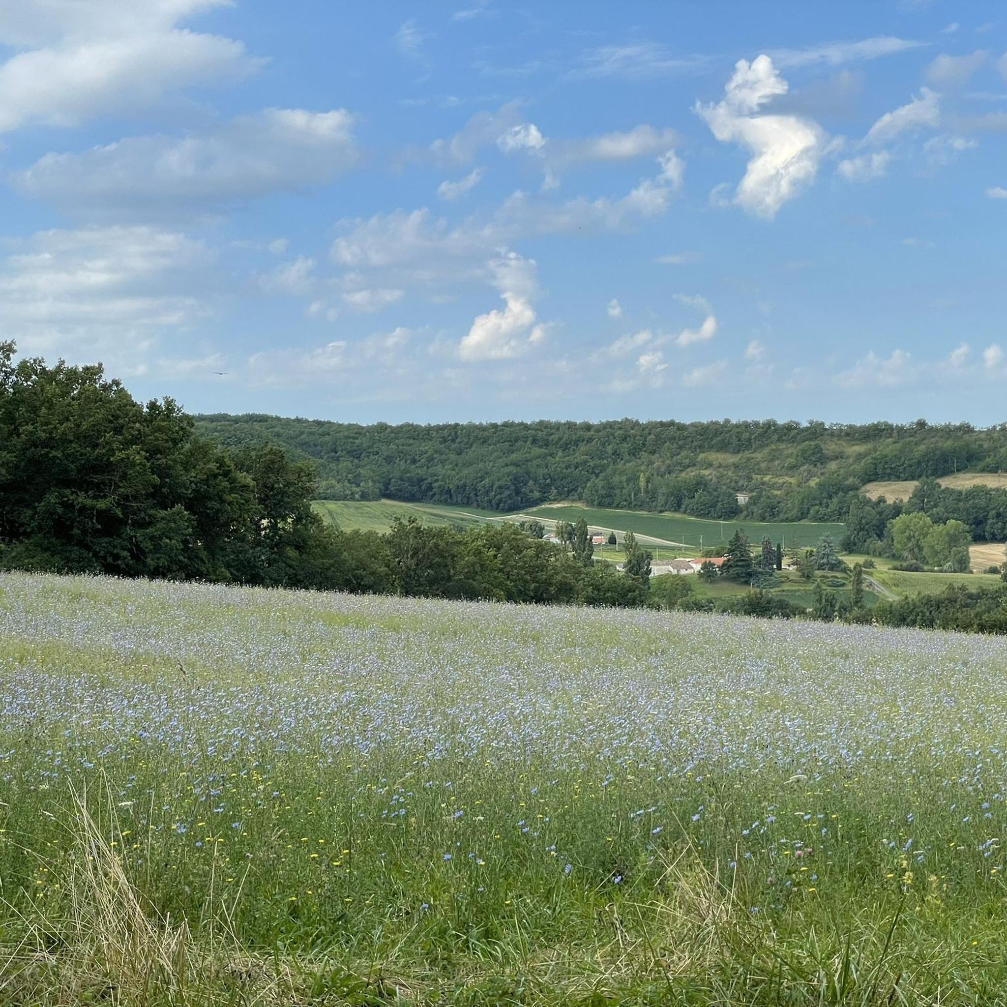
Hiking around Bourlens offers diverse landscapes characterized by a mix of agricultural land, forests, and prairies. The region features rolling hills with elevations ranging from 96 to 235 meters, providing varied scenery for exploration. Hikers can traverse wooded valleys, open plateaus dotted with plum orchards, and more arid combs. The landscape is predominantly agricultural, complemented by significant forest and prairie cover, including picturesque river valleys along the Lot River.
Best hiking trails around Bourlens
- The most popular hiking route is…
Last updated: October 11, 2026
4.4
(15)
68
hikers
8.81km
02:29
190m
180m
Moderate hike. Good fitness required. Easily-accessible paths. Suitable for all skill levels.
4.6
(7)
16
hikers
Moderate hike. Good fitness required. Easily-accessible paths. Suitable for all skill levels.

3.0
(1)
6
hikers
Moderate hike. Good fitness required. Easily-accessible paths. Suitable for all skill levels.
3.0
(1)
15
hikers
8.42km
02:15
100m
100m
Moderate hike. Good fitness required. Easily-accessible paths. Suitable for all skill levels.
4.0
(2)
9
hikers
4.25km
01:11
80m
80m
Easy hike. Great for any fitness level. Easily-accessible paths. Suitable for all skill levels.
Get access to more routes and recommendations from other explorers.
Already have an account?
Our route recommendations are based on thousands of hikes, rides, and runs completed by other people on komoot.
Start today with a free account
Your next adventure awaits.



Tips from the Community

Saint-Barthélemy Church (In the heart of the village) This is the main parish church, inseparable from the silhouette of the hilltop village. A unique water tower bell tower: Its main peculiarity lies in its bell tower. The original bell tower was threatening to collapse after the Second World War, so it was demolished in 1945. In 1957, the municipality built an octagonal tower of concrete and bricks combining the bell tower and a water tower at its summit, an extremely rare feature in France. The original building (located near the ramparts) was destroyed in 1561 by Protestants during the Wars of Religion. The current church was rebuilt later, from 1884 onwards, on the grounds of the former Recollets convent.
0
0
Tournon-d'Agenais is a magnificent 13th-century royal hilltop bastide, listed among the Most Beautiful Villages of France. The site first served as a Celtic oppidum and then as a Gallo-Roman trading post. A first inhabited center developed in the 12th century. The foundation (1271): The royal bastide was officially founded by Philip III the Bold (son of Saint Louis), continuing the work of Alphonse de Poitiers. Located on the border of French and English spheres of influence, it suffered heavy assaults during the Hundred Years' War and the Wars of Religion.
0
0
Tournon-d'Agenais is a magnificent 13th-century royal hilltop bastide, listed among the Most Beautiful Villages of France. The site first served as a Celtic oppidum and then as a Gallo-Roman trading post. A first inhabited center developed in the 12th century. The foundation (1271): The royal bastide was officially founded by Philippe III the Bold (son of Saint Louis), continuing the work of Alphonse de Poitiers. Located on the border of French and English spheres of influence, it suffered heavy assaults during the Hundred Years' War and the Wars of Religion.
0
0
Tournon-d'Agenais is a magnificent 13th-century royal bastide perched on a hill, listed among the Most Beautiful Villages of France. The site first served as a Celtic oppidum and then as a Gallo-Roman trading post. A first inhabited center developed in the 12th century. The foundation (1271): The royal bastide was officially founded by Philip III the Bold (son of Saint Louis), continuing the work of Alphonse de Poitiers. Located on the border between French and English spheres of influence, it suffered heavy assaults during the Hundred Years' War and the Wars of Religion.
0
0
Tournon-d'Agenais is a magnificent royal bastide from the 13th century, listed among the Most Beautiful Villages of France. The site first served as a Celtic oppidum and then as a Gallo-Roman trading post. A first inhabited center developed in the 12th century. The foundation (1271): The royal bastide was officially founded by Philip III the Bold (son of Saint Louis), continuing the work of Alphonse de Poitiers. Located on the border of French and English spheres of influence, it suffered heavy assaults during the Hundred Years' War and the Wars of Religion.
0
0

Very cute - parts of the 12th century - didn't see the inside.
0
0
Cool!
0
0

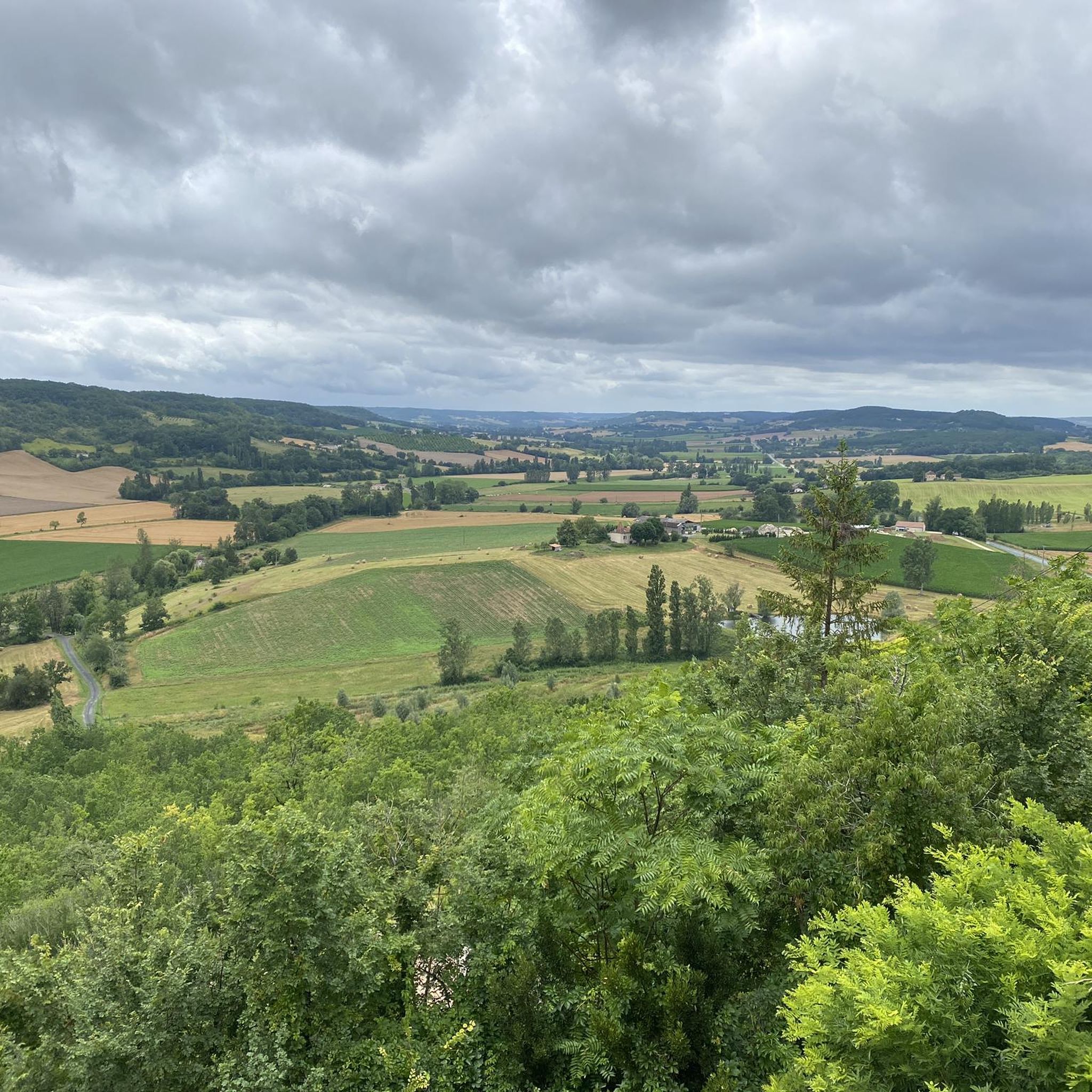
Tournon-d'Agenais is one of the "Most Beautiful Villages of France." This former royal fortified town is home to charming little streets and offers breathtaking views of the Lot Valley.
0
0
Frequently Asked Questions
What kind of terrain can I expect on hikes around Bourlens?
Hiking around Bourlens offers a diverse landscape. You'll find a mix of agricultural land, significant forests, and prairies. The region features rolling hills, with paths traversing wooded valleys like the Dor valley, open plateaus dotted with plum orchards such as the Perricard plateau, and even more arid areas like the Combe de Bazérac. This variety provides a rich visual and sensory experience for walkers.
Are there many hiking trails available in the Bourlens area?
Yes, Bourlens offers a wide selection of hiking opportunities. There are over 100 routes available, catering to various preferences and fitness levels. The komoot community has explored more than 110 trails in the area, indicating a thriving hiking scene.
Are there easy or beginner-friendly hiking routes in Bourlens?
Absolutely. Bourlens has a good selection of easy trails, with over 50 routes suitable for beginners or those looking for a less strenuous walk. An example is the Hiking loop from Thézac, which is 4.0 km long and typically takes about 1 hour and 5 minutes to complete on easily accessible paths.
Can I find circular hiking routes around Bourlens?
Yes, many of the trails around Bourlens are designed as loops, offering convenient circular walks. For instance, the Tournon d'Agenais – loop and the Hiking loop from Bourlens are both circular routes that allow you to start and end in the same location.
What are some notable landmarks or attractions I can see while hiking in Bourlens?
The Bourlens area is rich in historical and natural attractions. While hiking, you might encounter the medieval Fumel Castle or the serene Priory of Saint-Front-sur-Lémance. The Fumel-Monsempron-Libos Greenway, an old railway line, also offers scenic walking opportunities, connecting to the Greenway Along the Lot River. You could also explore nearby picturesque villages like Monflanquin, Lauzerte, and Pujols, which are within a reasonable distance.
Are there family-friendly hiking options in Bourlens?
Many of the trails in Bourlens are suitable for families, especially the easier routes with accessible paths. The region's rolling hills and varied landscapes provide engaging scenery without overly challenging ascents. Routes like the Hiking loop from Thézac are good choices for families looking for a pleasant outdoor experience.
What do other hikers say about the trails in Bourlens?
The hiking trails in Bourlens are highly regarded by the komoot community, holding an average rating of 4.4 stars from over 250 reviews. Hikers often praise the varied landscapes, from shaded woodlands to open plum orchards, and the well-maintained paths that make exploration enjoyable for all ability levels.
Is there parking available near the hiking trailheads in Bourlens?
While specific parking details for every trailhead are not always listed, Bourlens and its surrounding villages are generally accessible by car. It is common to find parking in or near the starting points of popular routes, especially in villages like Tournon-d'Agenais, where several loops begin. We recommend checking local signage upon arrival.
What is the best time of year to go hiking in Bourlens?
Bourlens, located in southwestern France, generally enjoys a pleasant climate. Spring and autumn are often ideal for hiking, offering mild temperatures and beautiful scenery as the agricultural lands and forests change colors. Summer can also be suitable, though it's advisable to start earlier in the day to avoid the midday heat.
Are there any cafes or places to eat near the hiking routes in Bourlens?
Bourlens itself is a small commune, but the nearby villages, such as Tournon-d'Agenais, offer amenities including cafes and restaurants where you can refresh after your hike. Exploring these charming villages can be a pleasant addition to your hiking day.
What is the elevation gain like on Bourlens hiking trails?
The Bourlens region features rolling hills, with altitudes ranging from 96 to 235 meters. This means most trails have moderate elevation changes, suitable for a range of abilities. For example, the Tournon d'Agenais – loop has an elevation gain of about 186 meters, providing a good workout without being overly strenuous.
Can I use public transport to access hiking trails in Bourlens?
Public transport options directly to specific trailheads in Bourlens may be limited due to its rural nature. Access is generally easier by car. However, larger nearby towns might offer bus services, and you could consider cycling along routes like the Fumel-Monsempron-Libos Greenway which connects to the Véloroute de la Vallée du Lot V86.
Most popular attractions around Bourlens

Get inspired with the komoot mobile app


Explore more
Browse the best Hikes in other regions.
