The best walks and hikes around Alt Tucheband
4.6
(559)
2,004
hikers
172
hikes
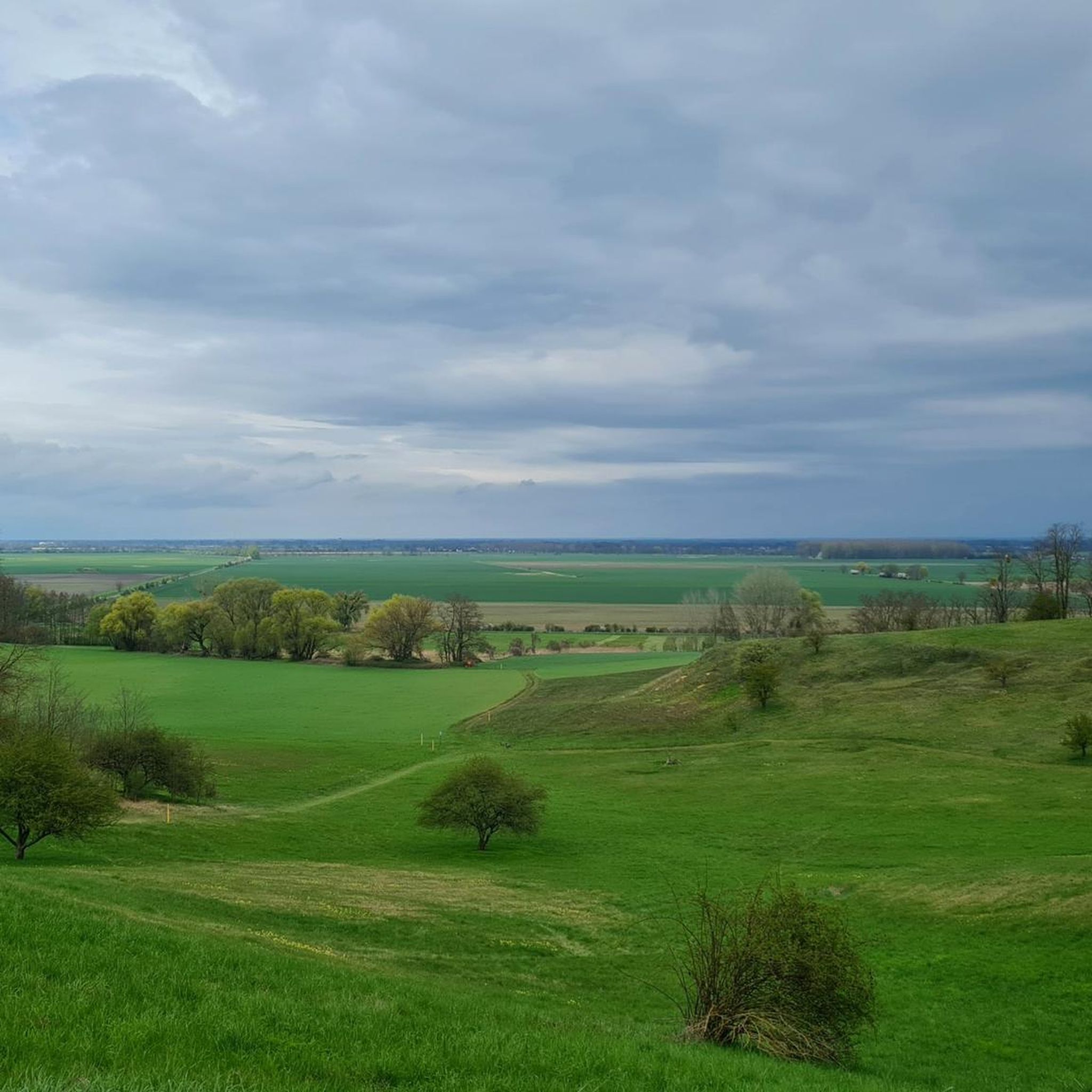
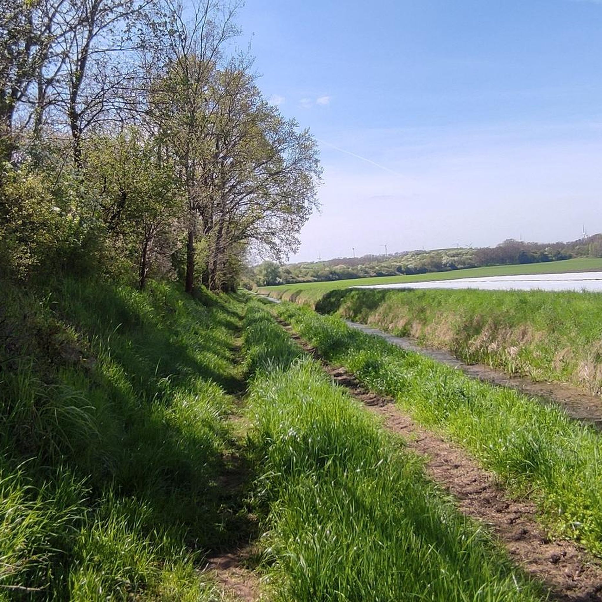
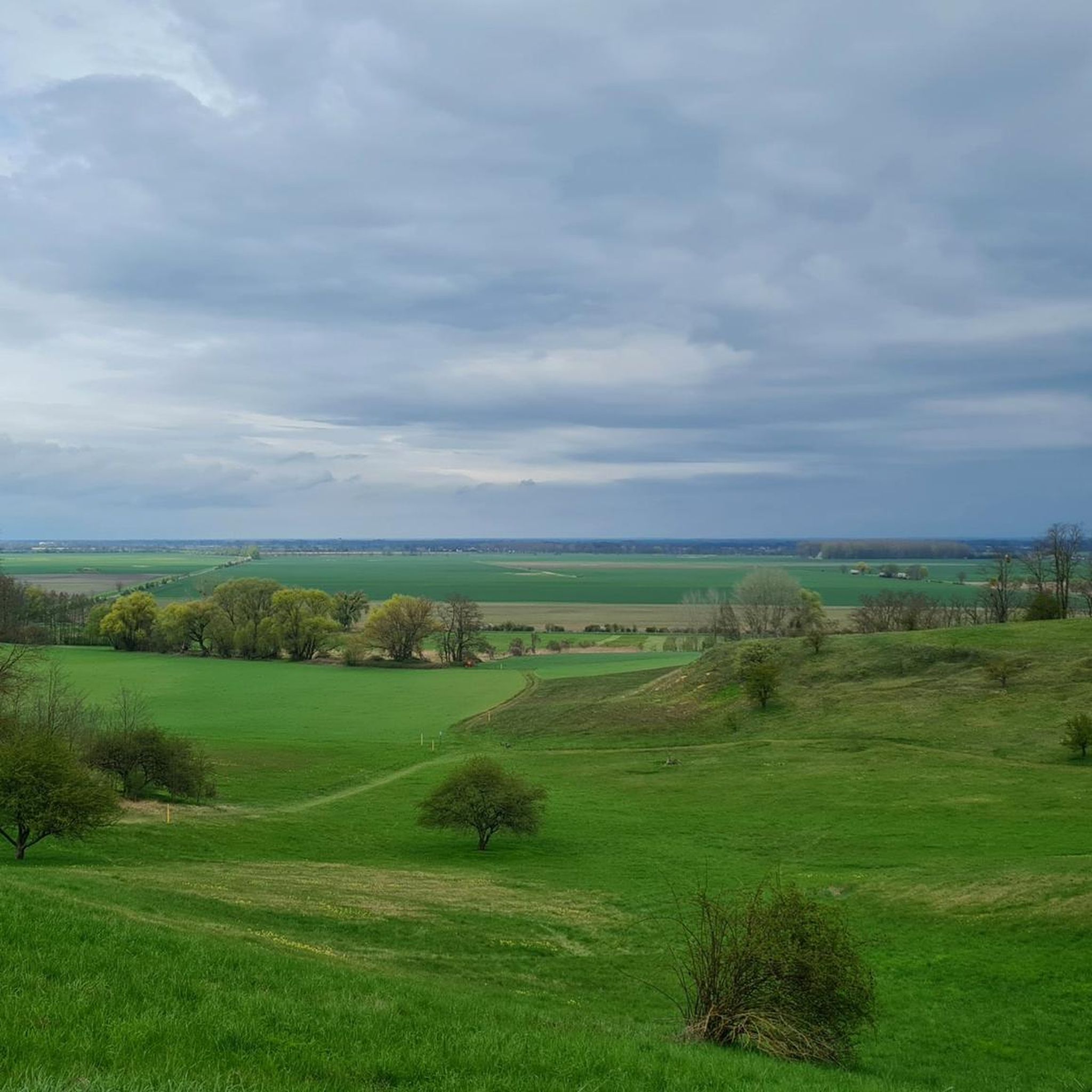
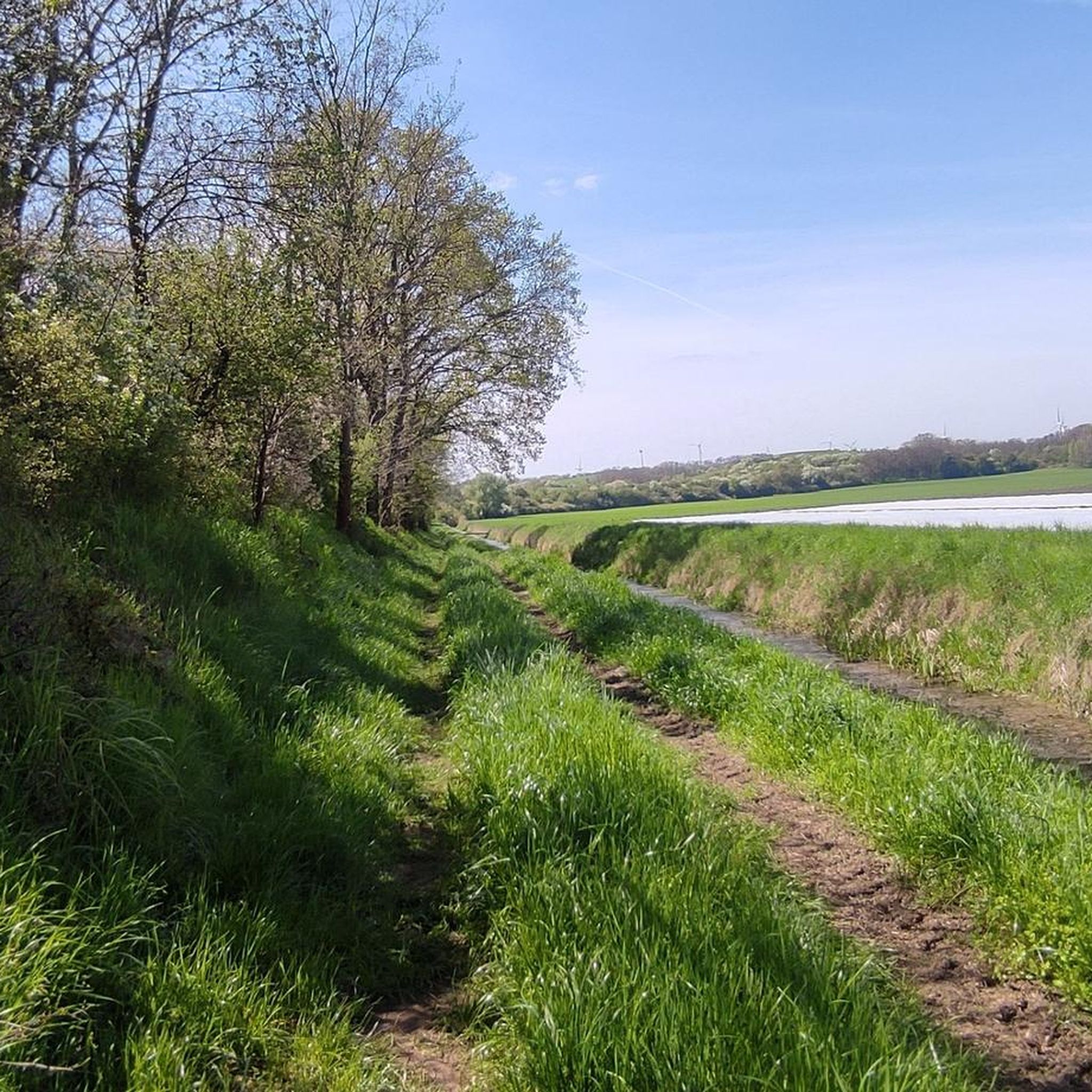
Hiking trails around Alt Tucheband are characterized by diverse natural landscapes within the Märkisch-Oderland district of Brandenburg, Germany. The region features proximity to the Oder River and its extensive wetlands, offering unique riverine environments. Hikers can explore varied terrain including oak mixed forests, dry grasslands, and scenic Oder slopes. The area also includes tranquil lakes and the picturesque Schlaube Valley, known for its forests, gorges, and streams.
Best hiking trails around Alt Tucheband
- The most popular hiking route is Shukov…
Last updated: October 14, 2026
4.3
(6)
23
hikers
6.43km
01:46
100m
100m
Easy hike. Great for any fitness level. Easily-accessible paths. Suitable for all skill levels.
4.0
(1)
8
hikers
6.11km
01:32
10m
10m
Easy hike. Great for any fitness level. Easily-accessible paths. Suitable for all skill levels.

4.0
(2)
6
hikers
Easy hike. Great for any fitness level. Easily-accessible paths. Suitable for all skill levels.
5.0
(3)
9
hikers
10.2km
02:40
70m
70m
Moderate hike. Good fitness required. Easily-accessible paths. Suitable for all skill levels.
4.0
(2)
7
hikers
Easy hike. Great for any fitness level. Easily-accessible paths. Suitable for all skill levels.
Get access to more routes and recommendations from other explorers.
Already have an account?
Our route recommendations are based on thousands of hikes, rides, and runs completed by other people on komoot.
Start today with a free account
Your next adventure awaits.
Tips from the Community

Church from 1849 on the site of a predecessor. Heavily damaged in 1945. Restored in 2008, cordoned off again by 2026.
0
0

The Soviet War Cemetery Reitwein was established after the Second World War in the former parkland next to Reitwein Castle. With the help of local residents, all known graves of fallen soldiers of the Red Army were reburied in this mass grave. The cemetery comprises approximately 3000 fallen soldiers. However, only a portion of the deceased are known by name and listed on the gravestones.
0
0

Imposing church in Neo-Gothic style, severely damaged in World War II and not fully rebuilt. The architect was Stüler, a student of Schinkel.
0
0

The former Royal Watermill in Manschnow dates back to 1745. The existing Manschnow Watermill had to replace the Crown Mill on what is now the Oder Island, built in 1708 and destroyed in a flood in 1736. From the mid-18th century until the GDR era, grist and grain were milled there and electricity was generated. Water power was used to power the mill for a long time until the old bridge arch, which had created the necessary dam, was demolished in 2006. Today, the Old Oder River flows over a newly constructed fish ladder. In 1758, Prussian troops are said to have united at the Manschnow Mill before marching to the Battle of Zorndorf. In 1806, a Napoleonic general took up quarters there, and Theodor Fontane mentions the mill there in "Before the Storm." Source: https://www.moz.de/lokales/seelow/immobilie-manschnower-muehle-ist-verkauft-50386007.html
0
0
At this point, the Am Strom country road leads from Manschnow to Neu Manschnow over the Alte Oder, which is called the Letschiner Hauptgraben here. The former postal and military road from Berlin to Küstrin (and further to Königsberg) also ran here, over the former "Padden Bridge," named after the former "Padde" restaurant. Further information can be found on the information board directly at the bridge.
0
0
The memorial to the victims of the Wars of Liberation, the Wars of German Unification, and the First World War is located at the southern tip of the village green in Manschnow. A memorial plaque added later also commemorates the fallen of the Second World War. The name plates and inscriptions are located in the center of the memorial, with stone Iron Crosses on the sides. The upright boulder is crowned by an eagle with outstretched wings. The inscriptions read: "For King and Fatherland died ... (names)..." "Dedicated to their memory by the Herzershof Manor and the communities of Alt- and Neumanschnow, June 16, 1913. To the honorable memory of our soldiers who fell in both World Wars, 1914-1918 and 1939-1945." "We remember our fellow citizens who lost their lives in 1945 and thereafter through war, violence, flight, and expulsion, in captivity, and through mines." The citizens of the municipality of Manschnow
0
0
The Soviet Memorial in Manschnow stands not far from the village church on the village green and is a burial site with collective graves for 1,203 fallen soldiers and officers of the Red Army. Unfortunately, very little information is available about this memorial.
0
0
Very little is known about the early history of the church, which is now plastered gray. In 1849, a rectangular brick church with a west tower was built to replace an 18th-century predecessor. This predecessor church contained a wooden baptismal font and communion chalice dated 1592. By the spring of 1945, only the surrounding wall and the east gable remained of the 1849 brick church; the tower had to be partially demolished. In 1954/55, it was rebuilt on the original ground plan, but in smaller dimensions. By 1957, these dimensions had already proven too small. As a result, the east gable was shortened, and a corresponding church tower was added. The chancel was given a barrel vault. The east wall, with its brick stepped gable, is the only external ornamentation. Inside, an eight-sided sandstone font from the new building from 1849 still stands. In 2008, a comprehensive renovation was carried out to repair the moisture damage to the masonry and plaster. Source: https://www.kg-gorgast-golzow.de/ueber-uns/unsere-kirchen/die-kirche-zu-manschnow/
0
0
Frequently Asked Questions
How many hiking trails are available around Alt Tucheband?
There are over 170 hiking routes available in and around Alt Tucheband. These include a variety of options, with more than 90 easy trails, 75 moderate routes, and 12 challenging treks, ensuring there's something for every fitness level.
What kind of landscapes can I expect to see while hiking near Alt Tucheband?
Hiking near Alt Tucheband offers diverse natural landscapes. You'll encounter extensive wetlands along the Oder River, varied forests including oak mixed woods, and scenic Oder slopes. The region also features tranquil lakes and the picturesque Schlaube Valley, known for its gorges, streams, and unique ecosystems.
Are there any circular hiking routes in the Alt Tucheband area?
Yes, many of the hiking trails around Alt Tucheband are circular routes, perfect for day trips. Examples include the moderate Shukov Bunker – Priesterschlucht loop from Podelzig, which passes historical sites, and the Old Oak Avenue – Priesterschlucht loop from Reitwein, winding through ancient tree-lined avenues.
Are there hiking trails suitable for beginners or those looking for an easy walk?
Absolutely. Over 90 of the routes around Alt Tucheband are classified as easy. A good option for a shorter, less strenuous walk is the Thick Oak – Shukov Bunker loop from Reitwein, which is 2.4 miles (3.8 km) long and leads through forested areas and past historical bunkers.
What natural features or landmarks can I discover on hikes near Alt Tucheband?
The region is rich in natural beauty and historical sites. You can explore the extensive Oder River wetlands, tranquil lakes like Halbesee or Gusow Quarry Lake, and diverse forest ecosystems. The Gutspark Alt Tucheband also features a hiking trail with historical obelisks.
Are there any historical sites to explore while hiking?
Yes, the area around Alt Tucheband has several historical points of interest. You can visit sites like the Kostrzyn Fortress or the Ruins of Kostrzyn's Old Town and Fortress. Some routes, like the Shukov Bunker – Priesterschlucht loop from Podelzig, specifically pass by historical bunkers.
Are the hiking trails around Alt Tucheband family-friendly?
Many trails in Alt Tucheband are suitable for families, especially the easier and shorter routes. The diverse landscapes, including forests and lakes, offer engaging environments for children to explore. Look for trails with minimal elevation gain and shorter distances for a pleasant family outing.
Can I bring my dog on the hiking trails in Alt Tucheband?
Generally, dogs are welcome on hiking trails in Brandenburg. However, it's always advisable to keep your dog on a leash, especially in nature reserves, near wildlife, or in agricultural areas. Please be mindful of local regulations and respect other hikers and the environment.
How can I reach the hiking trailheads around Alt Tucheband using public transport?
While Alt Tucheband is primarily accessed by car, some trailheads might be reachable via regional bus services. It's recommended to check local public transport schedules for the Märkisch-Oderland district in advance, as services can be less frequent in rural areas. Planning your route on komoot can help identify accessible starting points.
Is parking available at the trailheads in Alt Tucheband?
Yes, parking is generally available near popular trailheads and villages in the Alt Tucheband area. Many routes start from locations where parking is provided, often free of charge. It's a good idea to check the starting point of your chosen route on komoot for specific parking information.
Are there places to eat or stay near the hiking routes in Alt Tucheband?
Yes, Alt Tucheband and its surrounding villages offer options for refreshments and accommodation. You can find local cafes, pubs, and restaurants to refuel after your hike. For overnight stays, there are guesthouses and smaller hotels in the vicinity, providing a comfortable base for exploring the region.
What is the best time of year to go hiking in Alt Tucheband?
The best time for hiking in Alt Tucheband is typically from spring to autumn (April to October). During these months, the weather is generally mild and pleasant, and the natural landscapes are at their most vibrant. Spring brings blooming flora, while autumn offers beautiful foliage. Summer is also great, but be prepared for warmer temperatures.
What do other hikers say about the trails in Alt Tucheband?
The hiking trails in Alt Tucheband are highly regarded by the komoot community, with an average rating of 4.6 stars from over 400 reviews. Hikers often praise the diverse natural scenery, the tranquility of the Oder River wetlands, and the well-maintained paths that make for enjoyable exploration.
Most popular attractions around Alt Tucheband

Get inspired with the komoot mobile app


Explore more
Browse the best Hikes in other regions.
